The best walks and hikes around Garrovillas De Alconétar
4.0
(25)
92
hikers
9
hikes
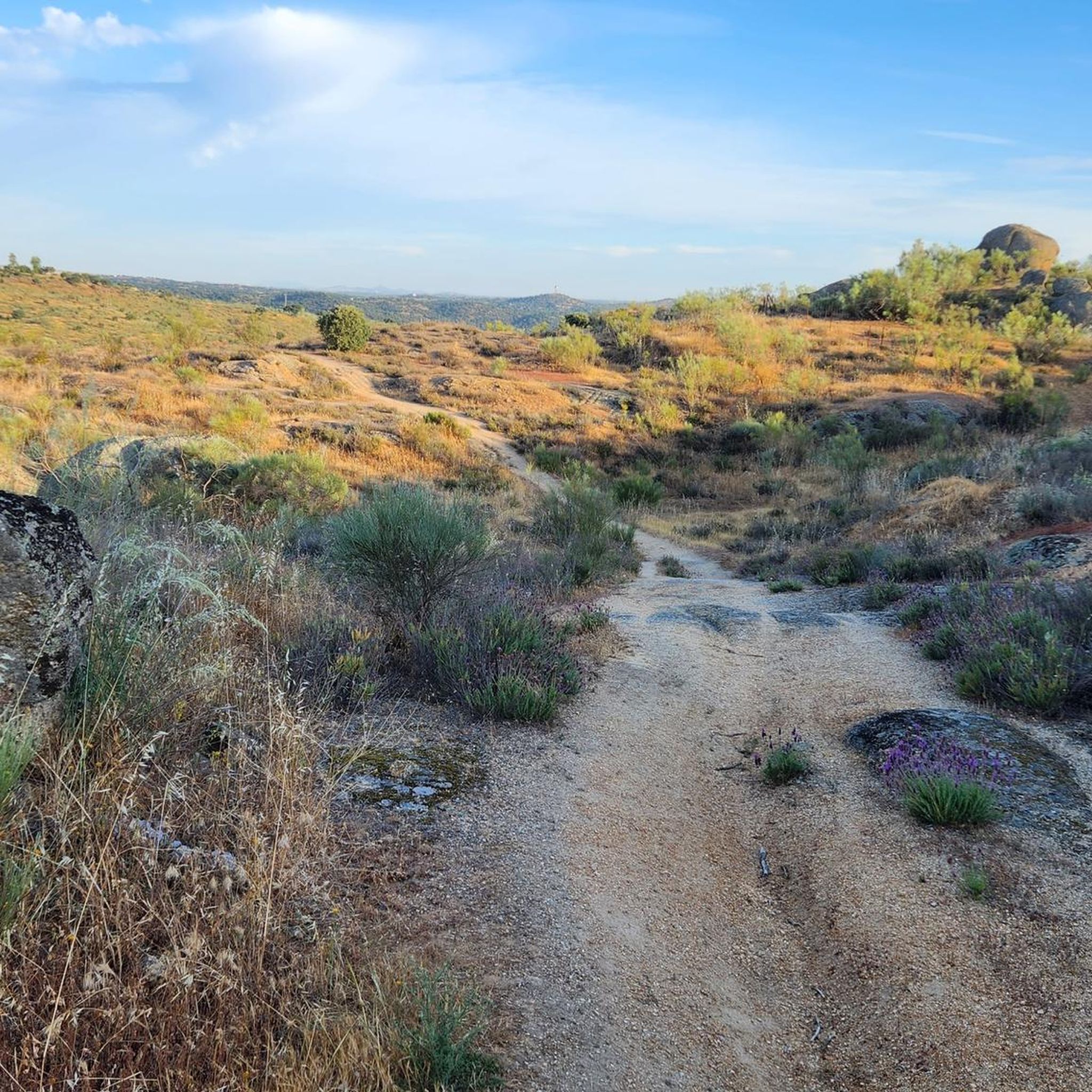
Hiking around Garrovillas De Alconétar offers diverse landscapes, including pine forests, steppe areas, and extensive holm oak forests. The region is characterized by rolling terrain dotted with large granite rock formations and proximity to the Tagus River basin and Alcántara reservoir. Hikers can expect varied ground, from rugged paths within pine forests to more open areas.
Best hiking trails around Garrovillas De Alconétar
- The most popular hiking route is Gothic bridge of San Benito circular from the train station Cañaveral…
Last updated: July 9, 2026
5.0
(6)
15
hikers
7.20km
01:57
100m
100m
Easy hike. Great for any fitness level. Easily-accessible paths. Suitable for all skill levels.
16.4km
04:47
440m
450m
Moderate hike. Good fitness required. Easily-accessible paths. Suitable for all skill levels.

Sign up for free
4.7
(3)
21
hikers
15.5km
04:15
240m
240m
Moderate hike. Good fitness required. Easily-accessible paths. Suitable for all skill levels.
4.0
(2)
10
hikers
25.3km
06:45
290m
290m
Hard hike. Very good fitness required. Easily-accessible paths. Suitable for all skill levels.
2.5
(2)
6
hikers
4.92km
01:22
90m
90m
Easy hike. Great for any fitness level. Easily-accessible paths. Suitable for all skill levels.
Get access to more routes and recommendations from other explorers.
Sign up for free
Already have an account?
Our route recommendations are based on thousands of hikes, rides, and runs completed by other people on komoot.
Start today with a free account
Your next adventure awaits.
Login or Signup
Popular around Garrovillas De Alconétar
Other adventures around Garrovillas De Alconétar


Tips from the Community

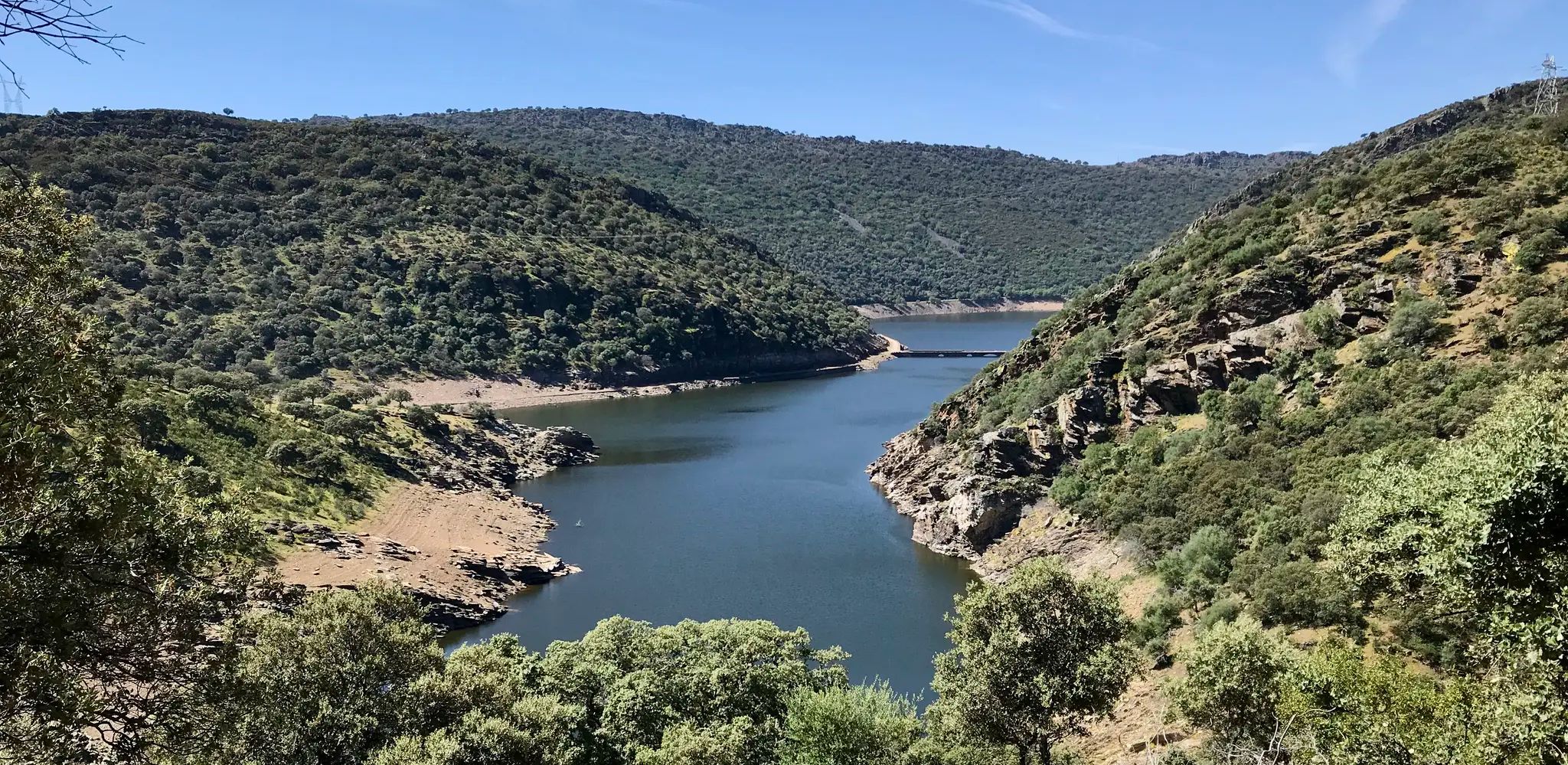
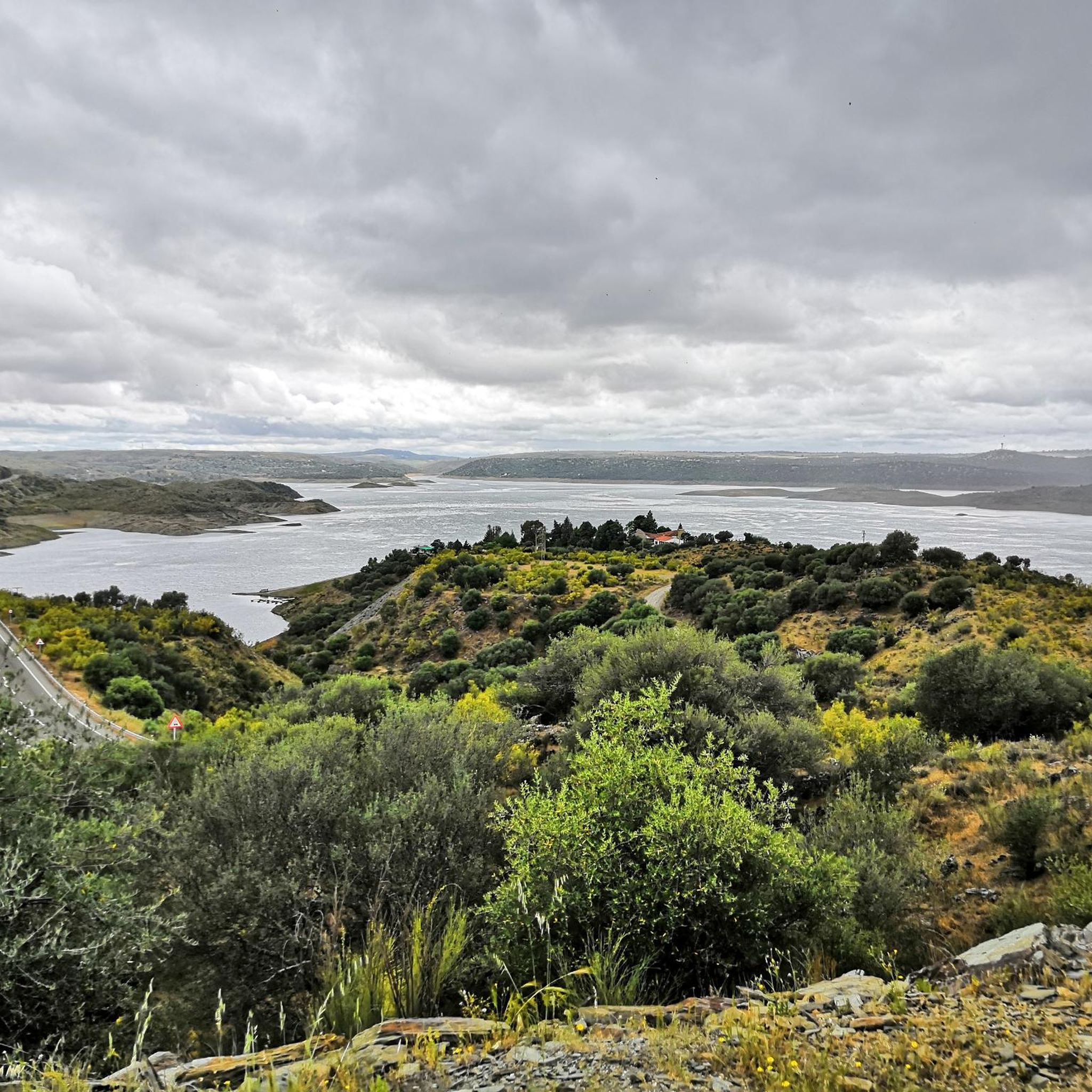
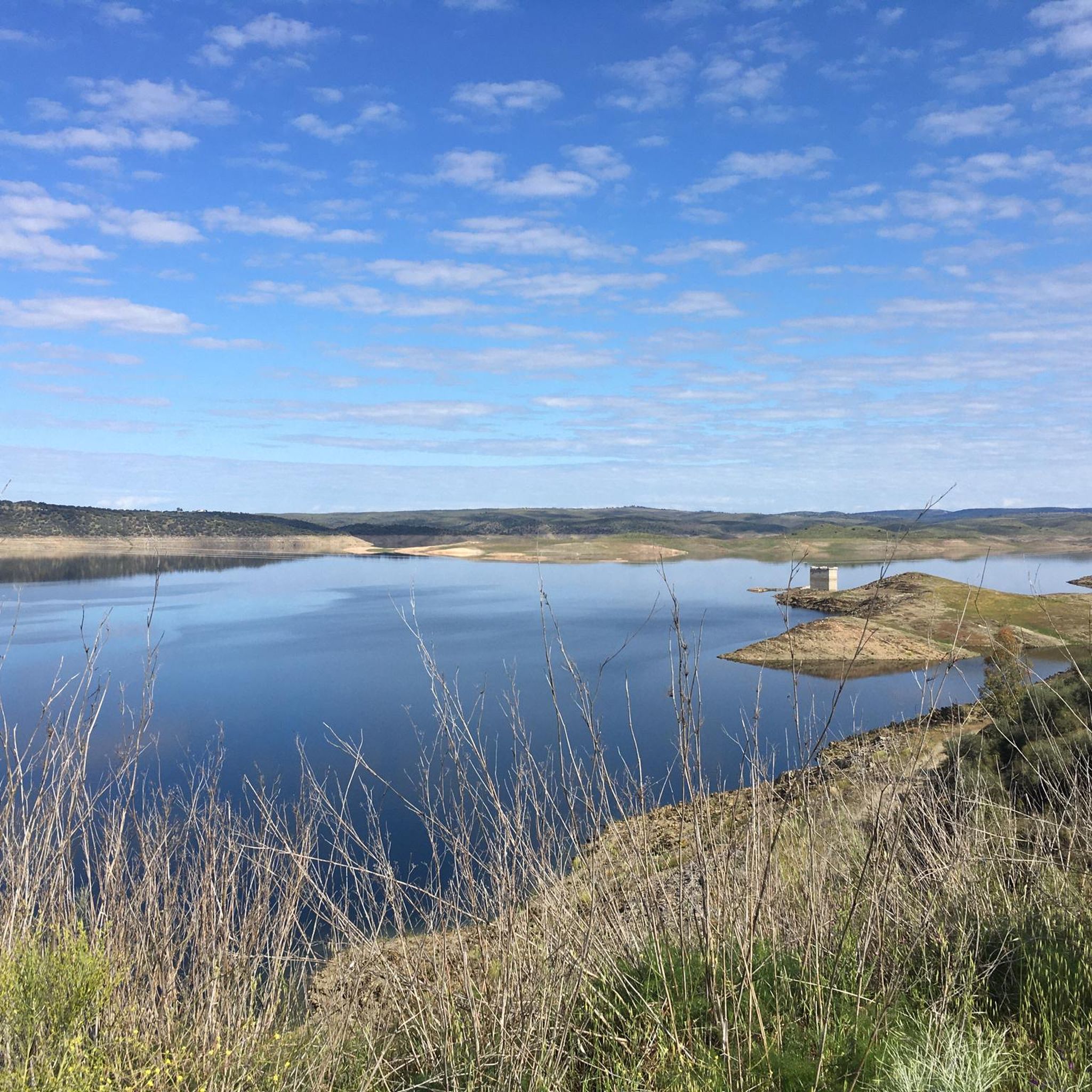
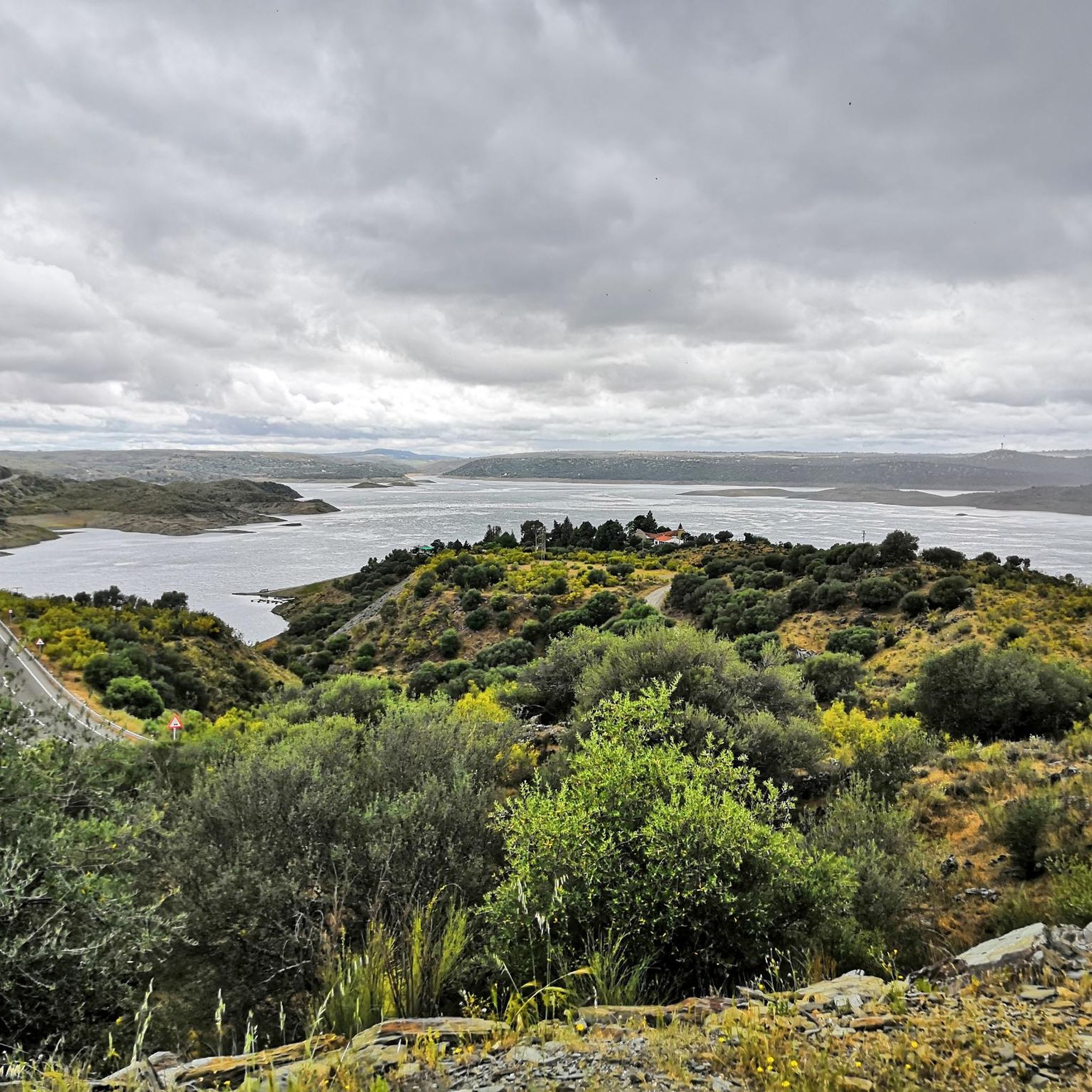
Also known as the Tajo Reservoir, it is the second largest in Spain by capacity. This body of water is home to countless bird species and intensifies the beauty of the landscape.
0
0
This section of the western Royal Road of Soria runs along the top of hills that reveal the beautiful surrounding landscape. The view is lost among mountain ridges and groves.
0
0

Just a few meters on the pedestrian path along the street
0
0

I don't know whose idea it was to restore the northwest tower so badly, a crime in plain sight... Today they are working on the "restoration" of the barbican. Alfonso II, in 877, failed to conquer the fortress of Portezuelo. In the month of July 997, when Almanzor crossed the Alconeter bridge and through Coria and the castle of Portezuelo he reached Santiago of Compostela. Conquered by Ferdinand II of León in 1166 and lost in 96. In 1219 Diego Sánchez, master of Alcántara, took it again: “he left Çamora with a large army against the Moors who still had much of Estremadura belonging to their conquest and the master with his knights and vassals joined the king in the city of Coria. From there the army left together and laid siege to a castle. called Portillo, which were a Sierra not far from Ceclavin. They beat him for combat and captured more than two hundred Moors in it." According to sources, the castle had an Arab and Christian population until 1386.
0
0

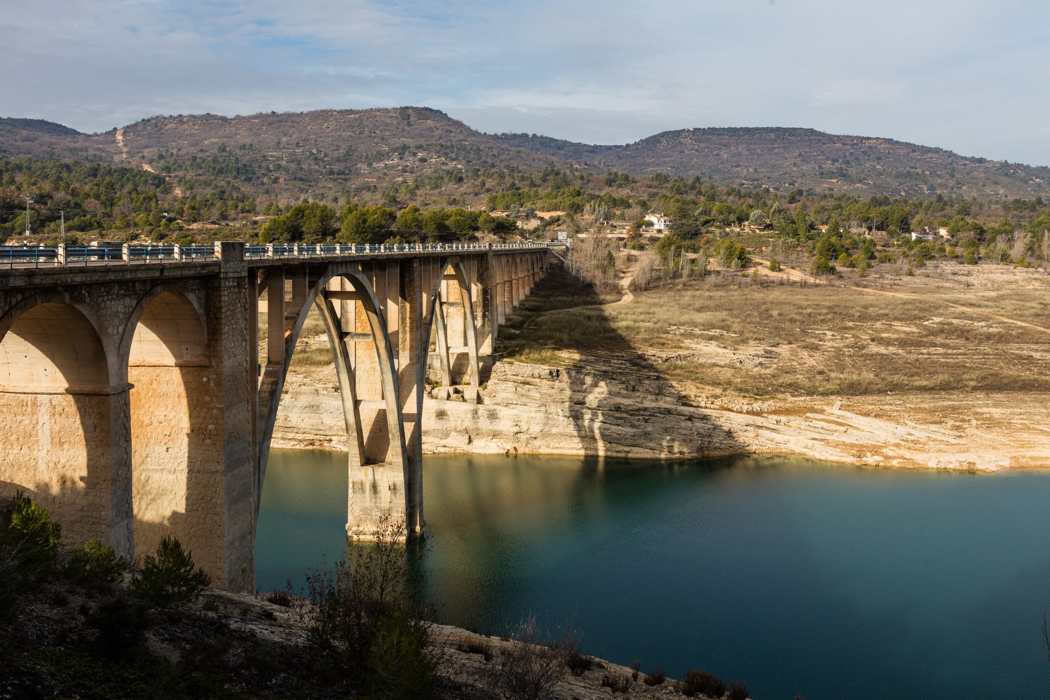
The Almonte Viaduct is an impressive structure that is part of the Madrid-Extremadura High Speed Line. This viaduct is located on the Alcántara-Garrovillas Reservoir section, which runs between the municipalities of Garrovillas de Alconétar and Santiago del Campo, in the province of Cáceres. The viaduct has a total length of 996 meters.
2
0
Cañaveral is a Spanish town and municipality, located in the province of Cáceres, in the autonomous community of Extremadura. Administratively, it is part of the judicial district of Cáceres and the community of Riberos del Tajo. It is located in the center of the province, north of the Tagus River, near a chain of mountain ranges that extend from the Monfragüe National Park.
2
0
Portezuelo Castle, also known as Marmionda Castle, is an ancient fortress located in the municipality of Portezuelo, in the province of Cáceres. The construction of the castle dates back to the 12th century. During this time, the Almohads invaded al-Andalus (1147), putting an end to the Almoravid empire. In 1167, the Christian king of León, Ferdinand II, conquered the castle and gave it to the Knights Templar. However, in 1196, the Almohads recovered it. Finally, in 1213, Alfonso IX of León definitively reconquered it and handed it over to the Order of San Julián del Pereiro, later known as the Order of Alcántara. Throughout its history, the castle underwent various renovations, the 16th century being the last of some importance. Unfortunately, it was abandoned in the second half of the 17th century.
8
0

Just up the hill from Arco you will find the Church of the Virgin of the Assumption. It is a pretty and well maintained little church with views over the valley and the village.
1
0
Frequently Asked Questions
How many hiking trails are available in Garrovillas de Alconétar?
There are 8 hiking trails around Garrovillas de Alconétar, offering a variety of experiences. These include 3 easy routes, 4 moderate paths, and 1 more challenging hike.
What kind of terrain can I expect when hiking in Garrovillas de Alconétar?
The region features diverse landscapes, including dense pine forests with large rock formations, open steppe areas, and extensive holm oak woodlands. You'll encounter rolling terrain, often dotted with striking granite rock formations, and paths near the Tagus River basin and Alcántara reservoir. Some areas, particularly within the pine forests, can be rugged.
Are there easy hiking options suitable for beginners in Garrovillas de Alconétar?
Yes, there are several easy routes perfect for beginners or those seeking a relaxed walk. One popular choice is the Gothic bridge of San Benito circular from the train station Cañaveral, a 4.5-mile trail with a gentle elevation gain. Another easy option is the Pondside Campsite loop from Cañaveral.
Are there any longer or more challenging hikes in the area?
For those looking for a longer or more challenging experience, consider the Portezuelo to Villa de Arco — return via Castillo de Portezuelo. This moderate 10.2-mile path traverses varied terrain with a significant elevation gain. The Tajo Reservoir – San Benito Gothic Bridge loop from Garrote is a difficult 15.7-mile route offering extensive views.
What natural features or landmarks can I see while hiking?
Hikers can enjoy views of the Alcántara Reservoir and the Almonte Viaduct, especially from viewpoints like View of the Alcántara Reservoir and Almonte Viaduct. The region is also known for its unique granite rock formations, and in February, the 'Ruta del Almendro en Flor' offers stunning views of almond trees in bloom. The Tagus River basin is a prominent natural feature throughout the area.
Are there any historical sites or points of interest along the trails?
Yes, the area is rich in history. You can explore the Hermitage of Santiago, which served as a resting place for pilgrims on the Vía de la Plata. The Bridge Over the Tagus Reservoir offers views of the reservoir and the high-speed railway line, with the original Roman road submerged beneath. The Vía de la Plata, an ancient Roman road, also passes through the municipality.
Are there any circular hiking routes in Garrovillas de Alconétar?
Yes, several routes are circular. The Gothic bridge of San Benito circular from the train station Cañaveral is a popular easy loop. Another option is the Cerro del Mosquito loop from Garrovillas de Alconétar, which leads through open landscapes and local hills.
What do other hikers say about the trails in Garrovillas de Alconétar?
The routes in Garrovillas de Alconétar are highly rated by the komoot community, with an average score of 3.9 stars from around 20 reviews. Hikers often praise the varied terrain, from pine forests to holm oak woodlands, and the opportunities to discover historical sites and scenic viewpoints.
Is Garrovillas de Alconétar suitable for family-friendly hikes?
Yes, the region offers several easy trails that are suitable for families. The gentler routes, such as the Gothic bridge of San Benito circular from the train station Cañaveral, provide accessible options for a pleasant outing with children, allowing them to enjoy the natural beauty without overly strenuous effort.
Can I hike with my dog in Garrovillas de Alconétar?
Generally, dogs are welcome on hiking trails in natural areas around Garrovillas de Alconétar. It's always recommended to keep your dog on a leash, especially in areas with wildlife or livestock, and to carry water for both yourself and your pet. Please ensure you clean up after your dog to maintain the natural environment for everyone.
What is the best time of year to hike in Garrovillas de Alconétar?
The spring and autumn months are generally ideal for hiking in Garrovillas de Alconétar, offering pleasant temperatures and vibrant landscapes. In February, the 'Ruta del Almendro en Flor' is particularly popular for its stunning almond blossoms. Summers can be very hot, so early morning or late afternoon hikes are advisable, with plenty of water. Winters are mild, making hiking enjoyable year-round, though some paths might be muddy after rain.
Most popular attractions around Garrovillas De Alconétar

Get inspired with the komoot mobile app


Explore more
Browse the best Hikes in other regions.
