The best running trails around Lagrán
4.3
(5)
309
runners
43
runs
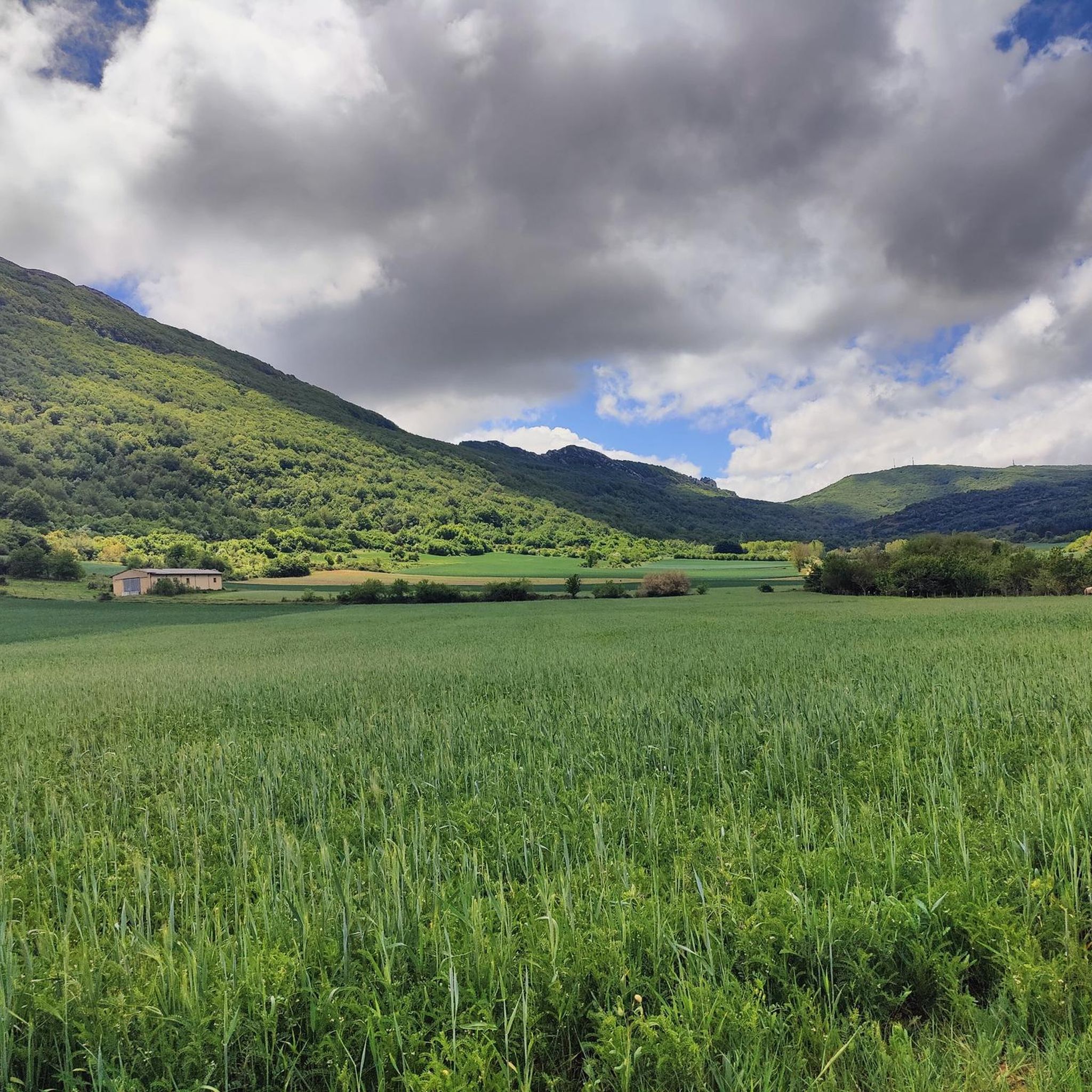
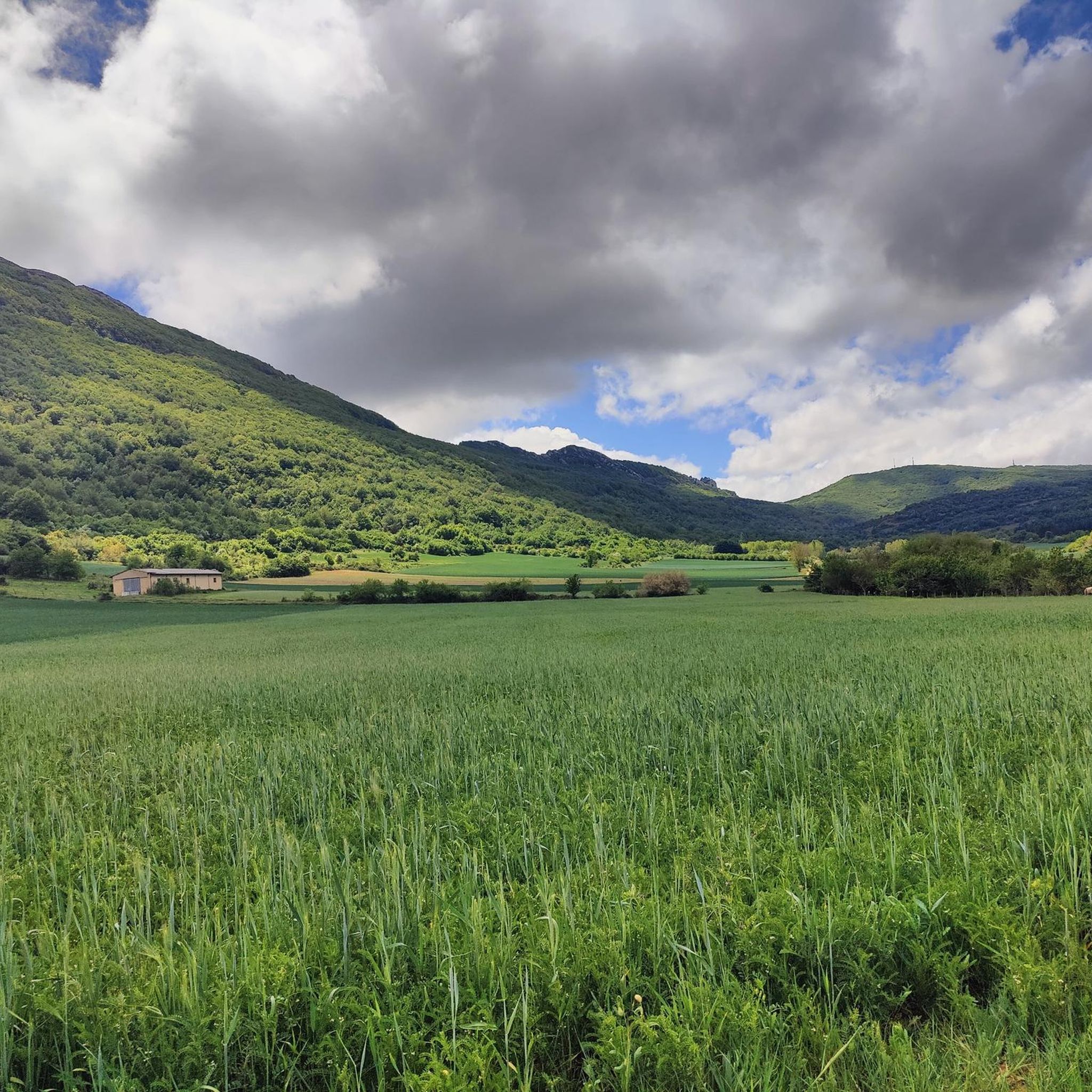
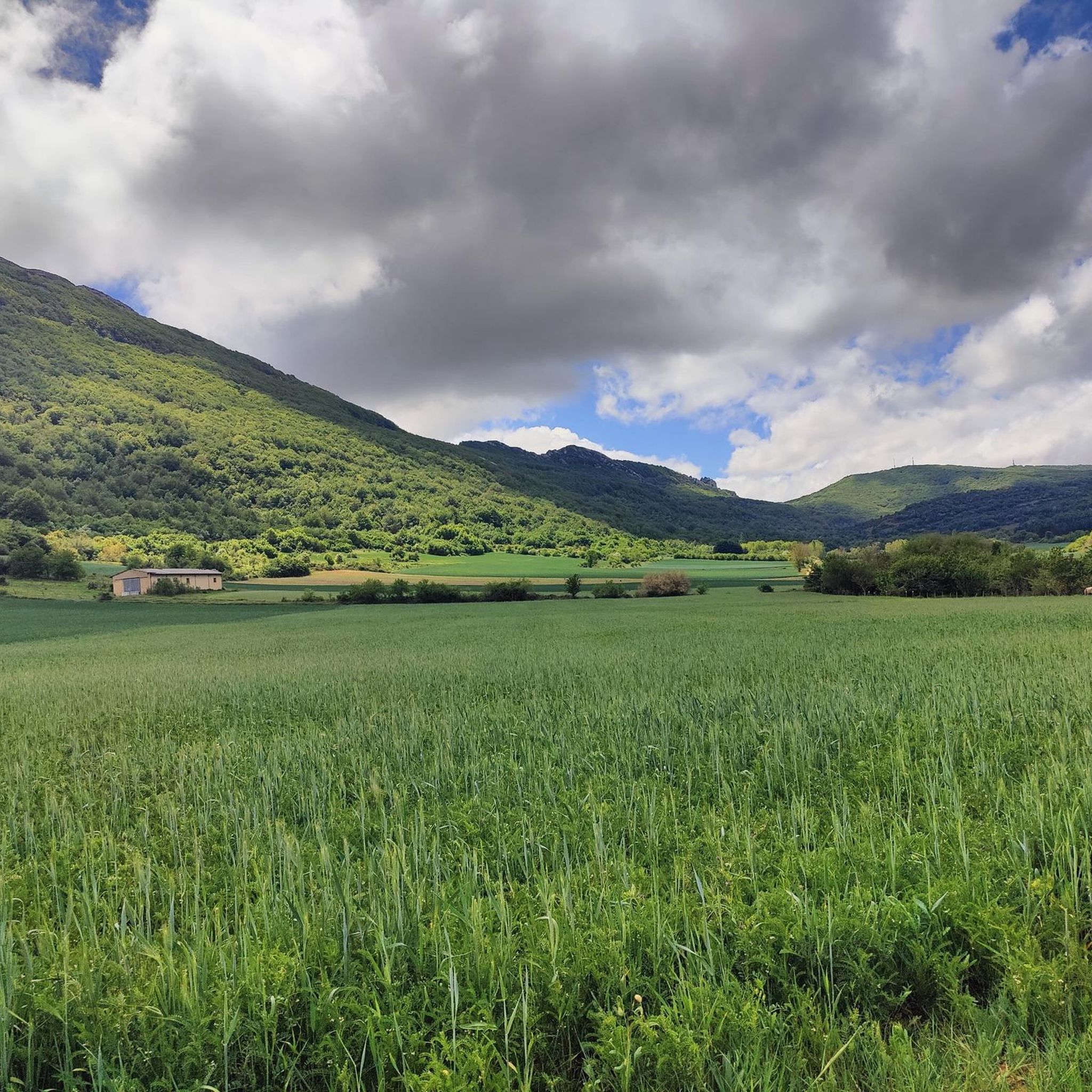
Jogging around Lagrán offers a diverse landscape for runners, characterized by significant elevation changes and varied terrain. The region features numerous hills and passes, with routes often leading through natural areas. Trails frequently ascend to viewpoints, providing a challenging yet rewarding experience for those seeking to explore the area on foot.
Best jogging routes around Lagrán
- The most popular jogging route is Bonete de San Tirso – San Tirso loop from Bernedo, a 4.5 miles (7.2 km) trail that…
Last updated: October 5, 2026
7
runners
11.6km
01:45
530m
520m
Hard run. Very good fitness required. Sure-footedness, sturdy shoes and alpine experience required.
17
runners
12.6km
01:40
610m
610m
Hard run. Very good fitness required. Mostly paved surfaces. Suitable for all skill levels.

4
runners
12.2km
01:50
650m
650m
Hard run. Very good fitness required. Sure-footedness, sturdy shoes and alpine experience required.
7
runners
5.93km
00:38
100m
100m
Moderate run. Good fitness required. Mostly paved surfaces. Suitable for all skill levels.
5
runners
6.75km
00:48
80m
80m
Moderate run. Good fitness required. Mostly paved surfaces. Suitable for all skill levels.
Get access to more routes and recommendations from other explorers.
Already have an account?
Our route recommendations are based on thousands of hikes, rides, and runs completed by other people on komoot.
Start today with a free account
Your next adventure awaits.
Tips from the Community

For such a simple mountain, the views are extraordinary.
1
0
I advise reaching it from the south side, from Laguardia, in winter, and from the north side, from Lagrán, in the summer.
3
0

If you are interested in an "alpine" hike, you should definitely take the summit path from Puerto de Toro.
1
0

The views from the top of the summit are wonderful.
2
0
Ruins of an old monastery that, despite the fact that they say little about the building that had existed, create a spectacular landscape.
1
0
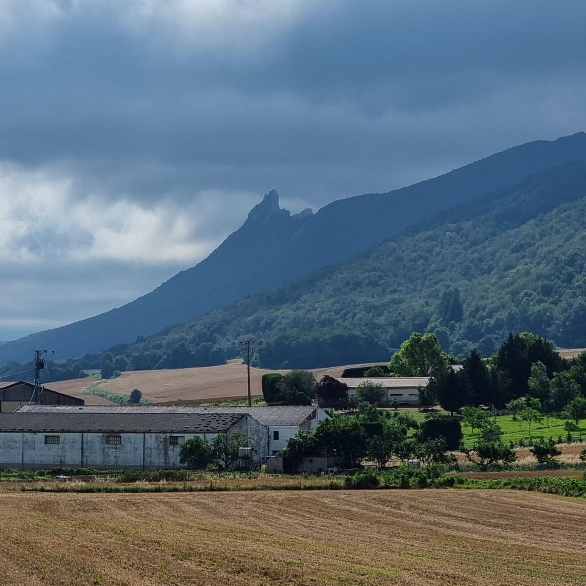
Characteristic summit of the Sierra de Toloña near Mount San Tirso. It is a steep peak that has the shape of a bishop's hat, from which the name comes.
1
0

Puerto del Toro is a mountain pass located at an altitude of 1,195 meters between the peaks of Peña de León and Cruz del Castillo. This is the highest point of the GR 38 as it crosses the Sierra de Cantabria.
1
0
Easily accessible and with a delightful view, it is worth it.
1
0
Frequently Asked Questions
How many running routes are available in Lagrán?
There are over 40 running routes around Lagrán, offering a wide range of options for exploring the region's diverse landscape.
Are there easy running routes suitable for beginners in Lagrán?
While many routes in Lagrán feature significant elevation gain and are rated moderate to difficult, there is at least one easy running route available. The region is generally characterized by challenging hill climbs and mountain passes, making it ideal for runners seeking a more demanding experience.
What kind of elevation gain can I expect on running routes in Lagrán?
Running routes in Lagrán are known for significant elevation changes. Many trails traverse hilly terrain and mountain passes, often involving challenging ascents and descents. For example, the Bonete de San Tirso – San Tirso loop from Bernedo features over 500 meters of elevation gain.
Are there any circular running routes in Lagrán?
Yes, many running routes in Lagrán are circular. Popular options include the Puerto del Toro loop from Laguardia and the Cruz del Castillo – Puerto del Toro loop from Lagrán, both offering a complete circuit back to the starting point.
What is the typical length of running trails in Lagrán?
The running trails in Lagrán vary in length. For instance, the Bonete de San Tirso – San Tirso loop from Bernedo is about 7.2 km (4.5 miles), while the Bernedo Village – Lapoblación Village loop from Bernedo extends to approximately 16.7 km (10.4 miles).
What do other runners enjoy the most about jogging in Lagrán?
The komoot community highly rates the running experience in Lagrán, with an average score of 3.5 stars from over 2 reviews. Runners often praise the challenging hill climbs, varied natural landscapes, and the rewarding views from mountain passes.
Are there any interesting landmarks or viewpoints along the running routes?
Yes, many routes ascend to viewpoints, offering rewarding vistas. The region also features notable landmarks such as the Toloño summit and the Sleeping Lion Peak (Lapoblación Castle), which can be explored near or along some trails.
Can I find places to explore or attractions near the running trails?
Absolutely. Beyond the trails themselves, you can discover attractions like Berganzo Village, the architectural Bodegas Ysios, and the historical Dolmen of the Witch's Hut. The Water Route is also a unique trail to explore.
Is public transport available to access the running routes in Lagrán?
Information regarding specific public transport links directly to the trailheads is not readily available in the guide data. It is advisable to check local public transport schedules and routes for the Lagrán area if you plan to rely on it.
What is the best time of year for trail running in Lagrán?
Lagrán's diverse landscape can be enjoyed throughout much of the year. However, given the significant elevation changes and mountain passes, spring and autumn generally offer the most pleasant temperatures for trail running. Winters can bring colder conditions and potentially snow at higher elevations, while summers can be warm.
Are there any dog-friendly running paths in Lagrán?
While specific regulations for dogs on every trail are not detailed, many natural trails in the region are generally accessible for dogs, especially if kept on a leash. It's always recommended to observe local signage and be respectful of wildlife and other trail users.
Most popular attractions around Lagrán

Get inspired with the komoot mobile app


Explore more
Browse the best Running Trails & Routes in other regions.
