The best walks and hikes around San Cibrao Das Viñas
4.5
(143)
925
hikers
86
hikes
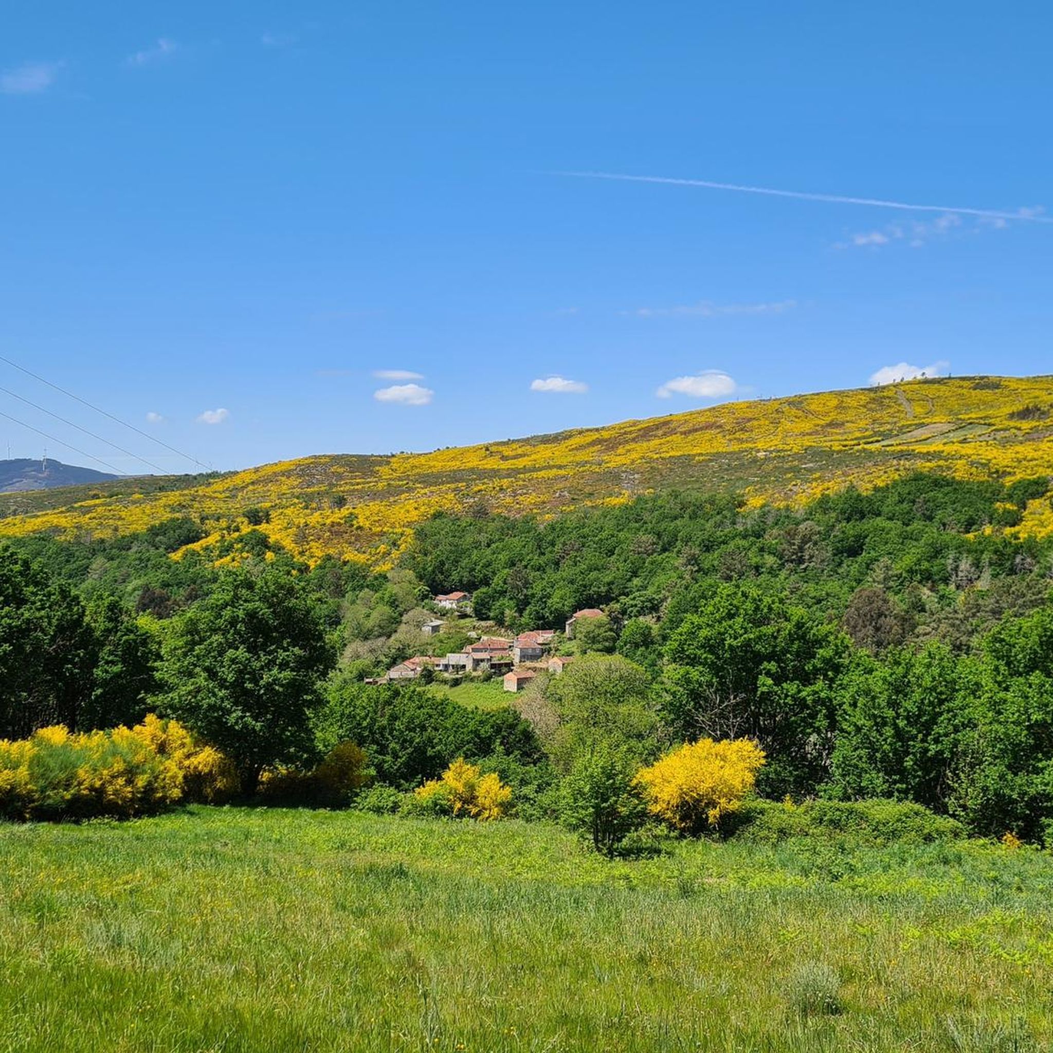
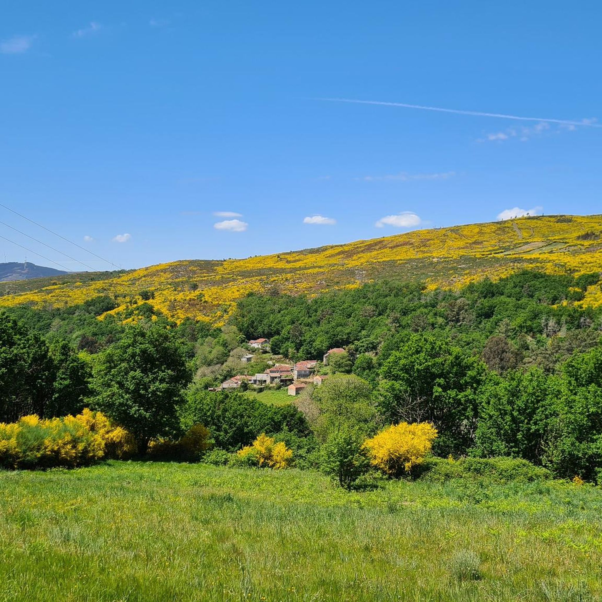
Hiking around San Cibrao Das Viñas offers diverse natural landscapes and cultural attractions. The region features lush, verdant scenery with a variety of tree species, including oaks, cork oaks, and chestnuts. The natural environment around the Barbadas River, known as Avotureira, provides picturesque settings. Many hiking trails utilize old paths, leading through native vegetation and past traditional mills.
Best hiking trails around San Cibrao Das Viñas
- The most popular hiking route is Route of the mills of the Loña river…
Last updated: June 28, 2026
4.3
(6)
16
hikers
14.2km
03:47
150m
150m
Moderate hike. Good fitness required. Easily-accessible paths. Suitable for all skill levels.
20
hikers
12.1km
03:11
110m
110m
Moderate hike. Good fitness required. Easily-accessible paths. Suitable for all skill levels.

Sign up for free
18
hikers
7.58km
01:57
40m
40m
Easy hike. Great for any fitness level. Easily-accessible paths. Suitable for all skill levels.
16
hikers
Easy hike. Great for any fitness level. Easily-accessible paths. Suitable for all skill levels.
4.0
(1)
6
hikers
4.97km
01:25
120m
120m
Easy hike. Great for any fitness level. Easily-accessible paths. Suitable for all skill levels.
Get access to more routes and recommendations from other explorers.
Sign up for free
Already have an account?
Our route recommendations are based on thousands of hikes, rides, and runs completed by other people on komoot.
Start today with a free account
Your next adventure awaits.
Login or Signup

Tips from the Community

Ourense's Plaza Mayor is one of the most emblematic spaces in the historic center: It's a porticoed square with a slight incline, making it unique in Galicia. The slope is used to create a very photogenic perspective. Since the Middle Ages, it has been the city's administrative and social center. Markets, public events, and neighborhood meetings were held here. Notable buildings: City Hall: a 19th-century neoclassical building with an elegant façade and balconies. Palaces and noble houses: several properties with heraldic shields and typical Galician galleries.
2
0
They are located in the historic center of Ourense, on Rúa das Burgas / Praza das Burgas, next to the Barbaña River. They are perfectly integrated into the urban environment, near the Cathedral and the Roman Bridge. Explored since Roman times, these waters were the origin of the city (Aquis Auriensis), and the remains include a 1st-century AD pool-sanctuary and votive stones dedicated to an indigenous deity. The water flows at approximately 64–68°C, with a flow rate of about 300 liters per minute. Rich in minerals such as metasilicates, fluoride, lithium, bicarbonate, and sodium, they are recommended for pruritic skin conditions and rheumatism. Recent studies support their beneficial effect on acne after washing with thermal water.
2
0
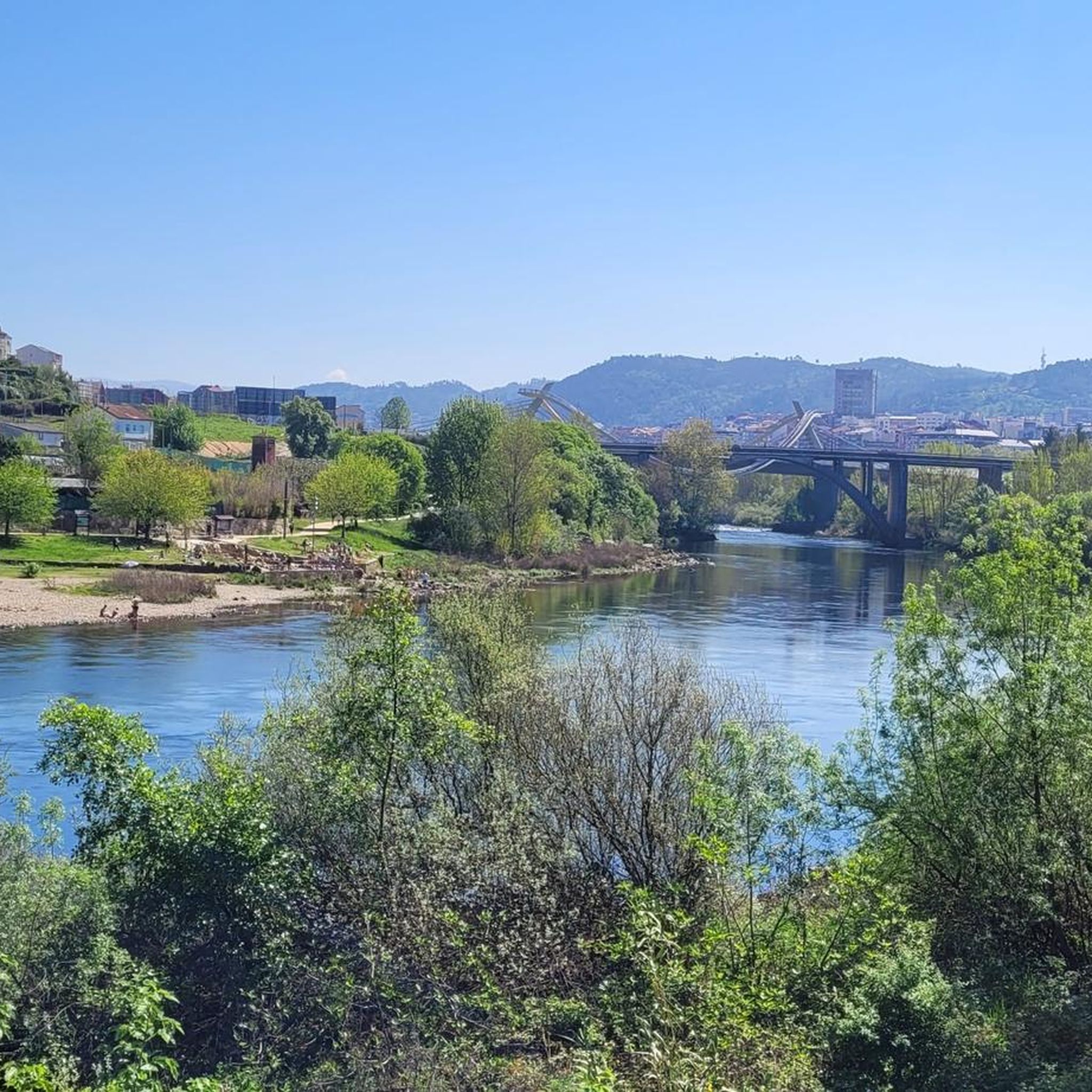
It spans the Miño River, linking the historic center of Ourense with the A Ponte neighborhood. It was built in the 1st century AD as a branch of the Via Nova (Via XVIII), connecting Bracara Augusta (Braga) with Asturica Augusta (Astorga). Only traces of the original Roman phase remain, such as rusticated stonework at the ends near the banks. It suffered damage during the Middle Ages; in 1228, under Bishop Lorenzo and with the support of Ferdinand III, it was rebuilt with pointed arches and renovated approaches. Until the 17th century, the bridge repeatedly collapsed. The final work was directed by Melchor de Velasco Agüero around 1660, establishing its current appearance.
1
0

Romanesque cathedral 🤙
0
1
Beautiful old cathedral 🤙
1
0
Nice little park, great for getting some shade 🤙
0
0
The Romans knew how to use the springs even earlier 🤙
1
0
Frequently Asked Questions
How many hiking trails are available in San Cibrao Das Viñas?
San Cibrao Das Viñas offers a wide selection of hiking opportunities, with over 90 trails available. These include 47 easy routes, 39 moderate routes, and 4 more challenging options, catering to various fitness levels.
What kind of landscapes can I expect to see while hiking here?
The region is characterized by lush, verdant scenery, with diverse tree species like oaks, cork oaks, chestnuts, ashes, and alder trees. You'll find picturesque settings along the Barbadas River, known as Avotureira, and many trails follow old paths through native vegetation and past traditional mills.
Are there any family-friendly hiking options in San Cibrao Das Viñas?
Yes, there are many family-friendly options. With 47 easy routes, you can find trails suitable for all ages. An example is the Cachamuíña Reservoir loop from Río Loña, which is an easy 4.9 km path with minimal elevation gain, perfect for a leisurely family walk.
What historical or cultural sites can I discover on the trails?
Hiking trails in San Cibrao Das Viñas often lead past significant historical and cultural sites. You can encounter ancient churches, traditional mills, and cruceiros (typical stone crosses). Notable sites include the Romanesque churches of San Ildefonso, San André de Rante, and Pazos de San Clodio. While not directly on the trails, nearby Ourense city offers attractions like the Ponte Vella (Roman Bridge) and the Cathedral of San Martín.
Are there any circular hiking routes available?
Yes, many routes in the area are circular. A popular choice is the Route of the mills of the Loña river – circular from A Derrasa, a moderate 14.2 km trail that allows you to return to your starting point. Another option is the Ourense Main Square – Main Square of Ourense loop from Ourense-San Francisco, an easy 6.2 km urban loop.
What do other hikers say about the trails in San Cibrao Das Viñas?
The hiking routes in San Cibrao Das Viñas are highly regarded by the komoot community, holding an average rating of 4.5 stars from over 120 reviews. Hikers frequently praise the lush river valleys, ancient paths, and the blend of natural beauty with cultural heritage sites like traditional mills and Romanesque churches.
Are there any natural features or viewpoints to look out for?
The region is rich in natural features, particularly around the Barbadas River, known as Avotureira, which offers picturesque scenery. While specific viewpoints are not detailed for every trail, the diverse landscapes of forests and river valleys provide many scenic spots. You might also encounter the Outariz Hot Springs or As Burgas Roman Baths as natural attractions in the wider Ourense area.
What is the best time of year to go hiking in San Cibrao Das Viñas?
San Cibrao Das Viñas offers pleasant hiking conditions for much of the year. The lush, verdant scenery is particularly vibrant in spring and early summer. Autumn also provides beautiful colors as the leaves change. Summers can be warm, so early morning or late afternoon hikes are recommended during peak heat.
Are there any trails that pass through urban areas or parks?
Yes, some routes blend natural and urban environments. For instance, the Main Square of Ourense – San Lázaro Park loop from Ourense-San Francisco is a moderate 12.2 km path that offers a mix of urban and park scenery, allowing you to experience both the city's charm and green spaces.
What is the typical elevation gain on trails in this area?
The elevation gain varies depending on the trail's difficulty. Easy routes, such as the Cachamuíña Reservoir loop, have minimal elevation gain (around 38 meters). Moderate trails, like the Route of the mills of the Loña river, typically feature around 150 meters of elevation gain, offering a good workout without being overly strenuous.
Can I reach the hiking trails using public transport?
While specific public transport details for every trailhead are not provided, San Cibrao Das Viñas is located near Ourense, a city with good transport links. Many trails, particularly those that start or pass through urban areas like Ourense, may be accessible via local bus services. It's advisable to check local transport schedules for specific routes.
Are there any long-distance hiking opportunities?
While the region offers a network of trails, the individual routes typically range from 4 to 14 kilometers. For example, the Route of the mills of the Loña river is one of the longer options at 14.2 km. You can combine shorter routes to create longer excursions, but dedicated multi-day long-distance trails are not a primary feature of this specific area.
Most popular routes around San Cibrao Das Viñas
Most popular attractions around San Cibrao Das Viñas

Get inspired with the komoot mobile app


Explore more
Browse the best Hikes in other regions.
