The best road cycling routes around Cercedilla
4.8
(76)
5,977
riders
50
rides
Road cycling around Cercedilla offers diverse terrain within the Sierra de Guadarrama National Park, characterized by extensive Scots pine forests and granite formations. The region features significant mountain passes like Navacerrada Pass and Cotos Pass, providing considerable elevation gains. Cyclists can experience routes through the Fuenfría Valley, offering views of the Guadarrama Valley and the Castilian plateau. This area provides a variety of road cycling routes suitable for different fitness levels.
Best road cycling routes around Cercedilla
- The most popular…
Last updated: July 11, 2026
250
riders
79.8km
04:45
2,020m
2,020m
Hard road ride. Very good fitness required. Mostly well-paved surfaces and easy to ride.
123
riders
98.0km
04:33
1,080m
1,080m
Hard road ride. Very good fitness required. Mostly well-paved surfaces and easy to ride.

Sign up for free
5.0
(1)
65
riders
35.6km
02:13
940m
940m
Hard road ride. Very good fitness required. Mostly well-paved surfaces and easy to ride.
4.5
(2)
36
riders
15.3km
01:09
550m
550m
Moderate road ride. Good fitness required. Mostly well-paved surfaces and easy to ride.
35
riders
17.1km
00:52
280m
280m
Easy road ride. Great for any fitness level. Mostly well-paved surfaces and easy to ride.
Get access to more routes and recommendations from other explorers.
Sign up for free
Already have an account?
Our route recommendations are based on thousands of hikes, rides, and runs completed by other people on komoot.
Start today with a free account
Your next adventure awaits.
Login or Signup
Popular around Cercedilla
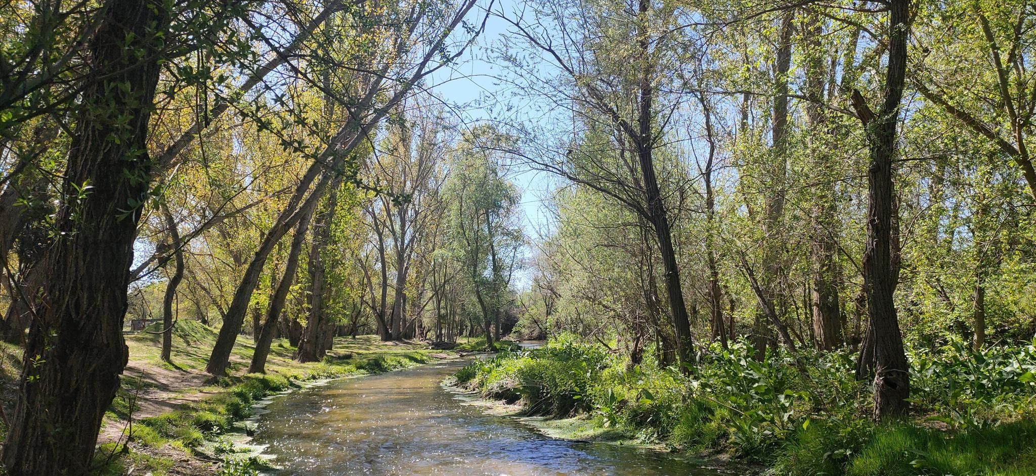
Hidden treasures in the river – hike along Spain’s Guadarrama River

The treasures of Guadarrama – on foot along the GR 10 in Madrid
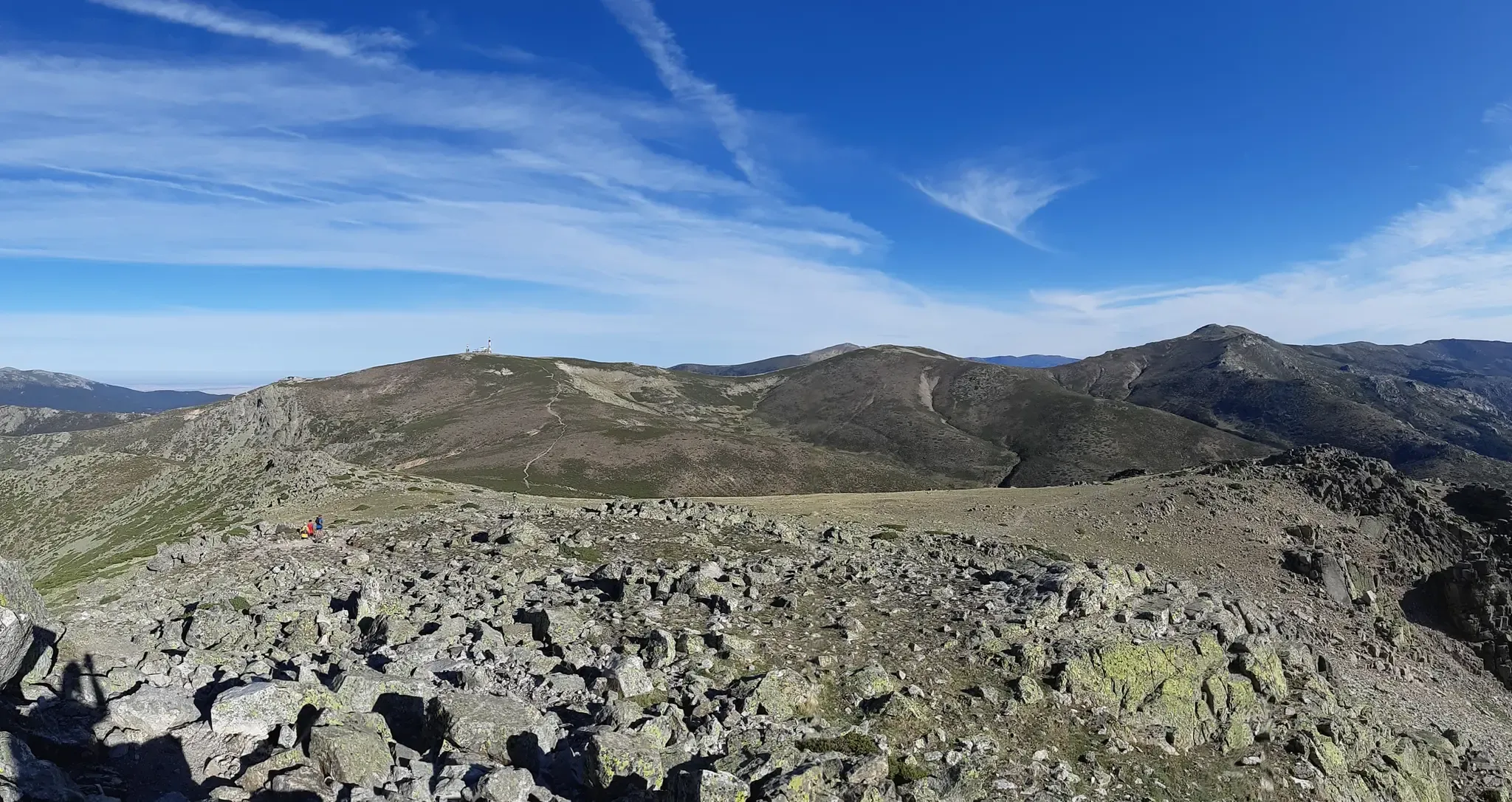
The mountains on Madrid's doorstep – 7 trails in Cercedilla
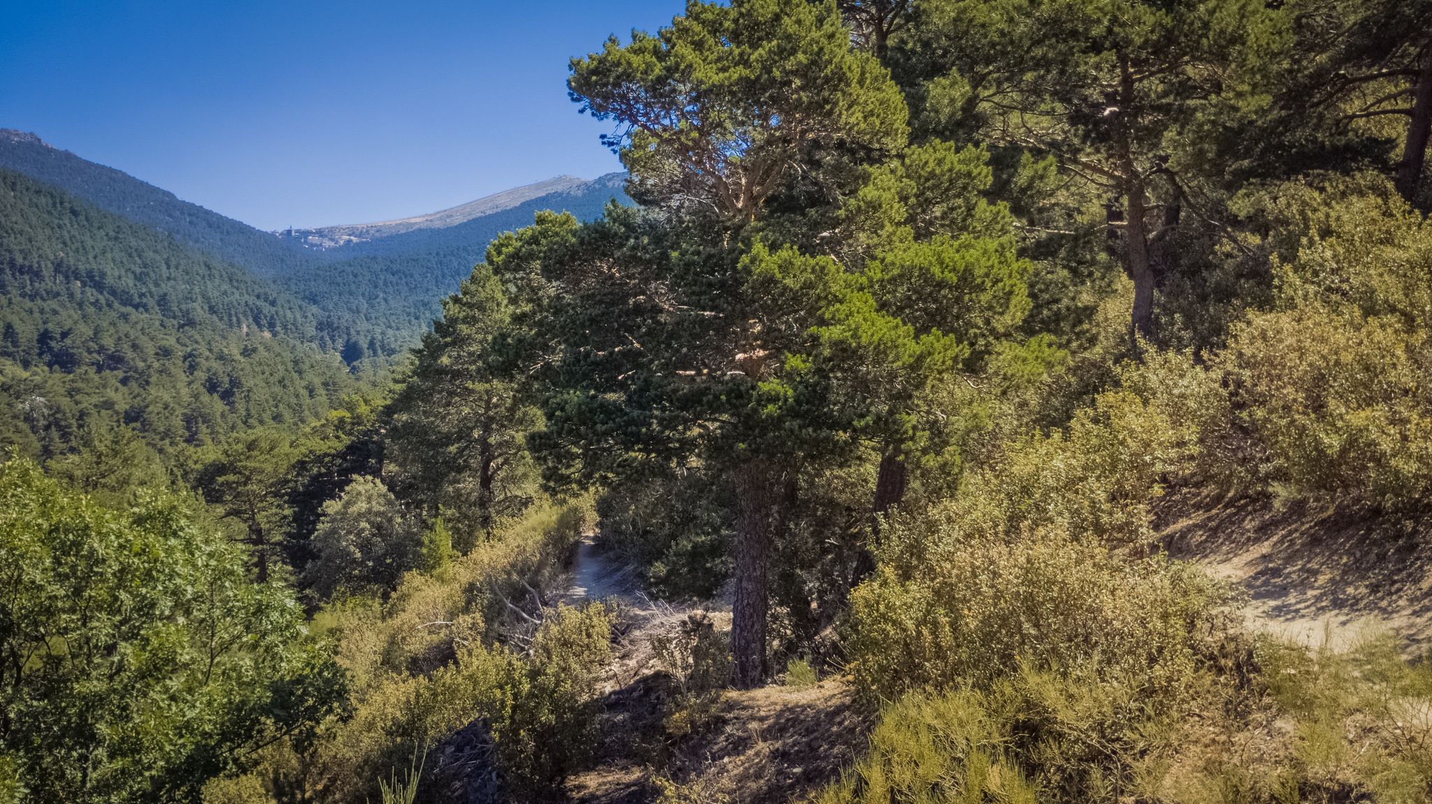
Forests and palaces – Tour of the Sierra de Guadarrama Mountain Range on MTB
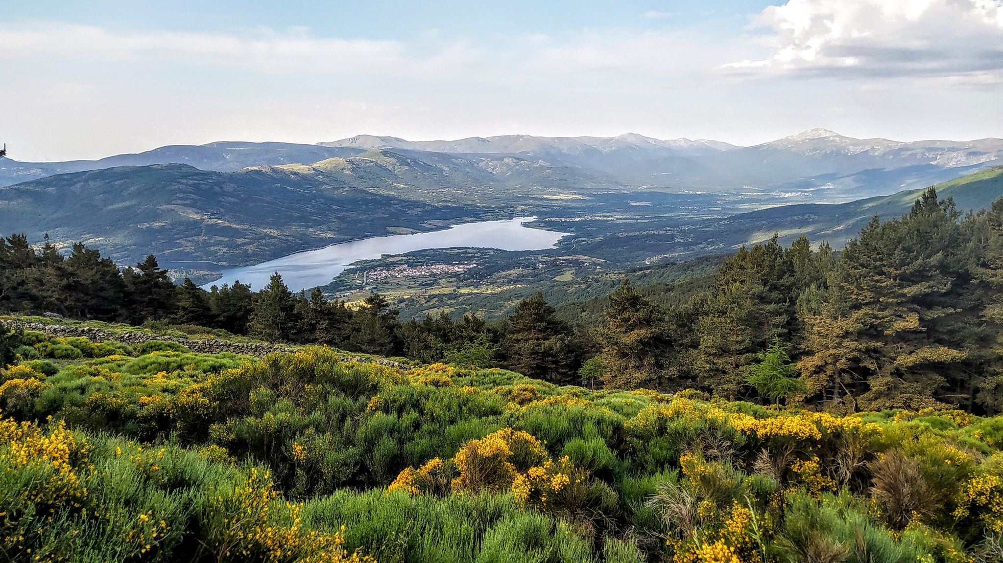
Views and reservoirs — walking in Madrid's Guadarrama Mountains
Running Trails around Cercedilla
Hiking around Cercedilla
MTB Trails around Cercedilla
Cycling around Cercedilla

Gravel biking around Cercedilla
Other adventures around Cercedilla


Tips from the Community

It's a classic climb in the Vuelta a España and in cyclotourism events like the Perico Delgado ride. The switchbacks section is very demanding: The first 4 km are gentle (2-3%). From the Puente de la Cantina (Cantina Bridge), ramps of 6-7% begin. Between km 6 and 8 are the five tightest bends, almost linked together, in a wooded area. The final kilometer has a steep ramp before reaching the summit.
1
0
They are located on the Segovia side of the Navacerrada Pass, on the CL-601 road (formerly the N-601), which connects La Granja de San Ildefonso with the pass. Approximate altitude: between 1,400 m and 1,700 m. There are seven hairpin bends that traverse the foothills of the Sierra de Guadarrama mountain range. Total length of the pass on this side: 13.6 km, with a 669 m elevation gain and an average gradient of 4.9%. The steepest ramps are in the switchbacks, with gradients of 6-8% and occasional sections reaching 9%. Summit at the Navacerrada Pass (1,856 m).
1
0
The name comes from the stone boundary markers erected in the 18th century to demarcate lands acquired by Charles III for hunting. During the Spanish Civil War, it was a strategic area with a Republican detachment stationed there. It formerly housed the Valcotos ski resort, which no longer exists.
1
0

The Siete Revueltas are one of the most iconic sections of the road that ascends to the Navacerrada Pass. This section consists of seven hairpin bends, one after the other, marking the final and toughest part of the climb from the Segovia side.
0
0

Good, shady area, water in Rascafría and upstream, well paved. Too busy on weekends.
0
0

There's a fountain as you reach the top on the right. Follow the cobblestone path.
0
1
It's not a very steep climb, but it's long. It gets tiring at the end.
0
0
No water comes out, mind you. Even so, it's a legendary spot in the Navacerrada Pass.
0
0
Frequently Asked Questions
How many road cycling routes are available in Cercedilla, and what are their difficulty levels?
Cercedilla offers over 50 road cycling routes. These routes cater to various skill levels, with 4 easy, 33 moderate, and 15 difficult options, ensuring there's a suitable ride for every cyclist.
What is the best time of year for road cycling in Cercedilla?
The region experiences a humid continental Mediterranean climate with mild summers and springs, making these seasons ideal for road cycling. The pleasant weather allows for comfortable exploration of the Sierra de Guadarrama National Park.
Are there challenging road cycling routes with significant climbs in Cercedilla?
Yes, Cercedilla is known for its challenging mountain passes. Routes often incorporate iconic climbs like Navacerrada Pass and Cotos Pass, offering substantial elevation gains and panoramic views. For a demanding ride, consider the Plaza de España, Rascafría – Navacerrada Pass loop from Los Molinos, which features over 2,400 meters of ascent.
What scenic views or landmarks can I expect on road cycling routes around Cercedilla?
Cyclists can enjoy spectacular vistas of the Guadarrama Valley and the Castilian plateau. Routes often pass by significant natural landmarks such as Seven Peaks and offer views from points like Mirador de la Gitana. You might also encounter ancient Roman bridges, adding a historical dimension to the scenic beauty.
Can I incorporate historical elements into my road cycling routes in Cercedilla?
Absolutely. The region features visible stretches of an ancient Roman road that once connected Titulcia to Segovia. You can cycle past well-preserved Roman bridges, such as Puente de la Venta, Puente del Descalzo, and Puente de En Medio, blending natural beauty with historical exploration.
What natural features define the road cycling experience in Cercedilla?
Road cycling in Cercedilla is characterized by the stunning landscapes of the Sierra de Guadarrama National Park. You'll ride through vast Scots pine forests, encounter granite and gneiss geological formations, and traverse the environmentally significant Fuenfría Valley, known for its diverse wildlife and mountain streams.
Are there any road cycling routes that offer views of reservoirs or lakes?
Yes, some routes provide views of local water bodies. For instance, the Views of Valmayor Reservoir – Peralejo Church loop from Los Molinos offers scenic glimpses of the Valmayor Reservoir during your ride.
What do other road cyclists enjoy the most about road cycling in Cercedilla?
The area is highly rated by the komoot community, with an average score of 4.7 stars from over 50 reviews. Cyclists often praise the challenging mountain passes, the dense Scots pine forests, and the rewarding views of the Castilian plateau, highlighting the diverse terrain and scenic beauty.
Are there any family-friendly road cycling routes in Cercedilla?
While many routes feature significant climbs, there are easier options available. The Las Dehesas Recreational Area provides a convenient starting point with meadows and picnic tables, and you can find some of the 4 easy routes in the area that are more suitable for families or less experienced riders.
How accessible is Cercedilla for cyclists using public transport?
Cercedilla is very accessible from Madrid by public transport. The Cercedilla train station, located at the highest point in the Guadarrama mountain range, serves as a direct gateway for cyclists to access the mountainous routes without needing a car.
Are there any circular road cycling routes that start and end in Cercedilla?
Yes, Cercedilla is an excellent starting point for circular routes. A popular option is the Cotos Pass – Navacerrada Pass loop from Cercedilla, which takes you through two iconic mountain passes and brings you back to your starting point.
What kind of terrain can I expect on road cycling routes in Cercedilla?
The terrain around Cercedilla is quite varied. You'll encounter challenging ascents over mountain passes, long stretches through dense Scots pine forests, and roads offering expansive views of granite formations and the Castilian plateau. This diversity provides a dynamic and engaging cycling experience.
Most popular attractions around Cercedilla

Get inspired with the komoot mobile app


Explore more
Browse the best Road cycling routes in other regions.
