The best walks and hikes around Puebla De San Miguel
4.2
(19)
249
hikers
37
hikes
Hiking around Puebla De San Miguel, a municipality designated as a Natural Park in Valencia, Spain, offers diverse landscapes for outdoor enthusiasts. The region is characterized by ancient juniper forests, notably in Las Blancas, and features numerous yew trees found in ravines like Ripoll and La Hoz. Hikers can explore varied terrain, from gentle paths to the challenging ascent of Cerro Calderón, the highest peak in the Valencian Community at 1,838 meters. The area also includes several natural springs and…
Last updated: July 13, 2026
5.0
(3)
14
hikers
13.4km
04:01
430m
430m
Moderate hike. Good fitness required. Easily-accessible paths. Suitable for all skill levels.
5.0
(1)
4
hikers
8.40km
02:45
390m
390m
Moderate hike. Good fitness required. Easily-accessible paths. Suitable for all skill levels.

Sign up for free
4
hikers
20.1km
06:47
970m
970m
Hard hike. Very good fitness required. Easily-accessible paths. Suitable for all skill levels.
3.0
(1)
16
hikers
Hard hike. Very good fitness required. Easily-accessible paths. Suitable for all skill levels.
18
hikers
15.3km
05:09
760m
760m
Hard hike. Very good fitness required. Easily-accessible paths. Suitable for all skill levels.
Get access to more routes and recommendations from other explorers.
Sign up for free
Already have an account?
Our route recommendations are based on thousands of hikes, rides, and runs completed by other people on komoot.
Start today with a free account
Your next adventure awaits.
Login or Signup

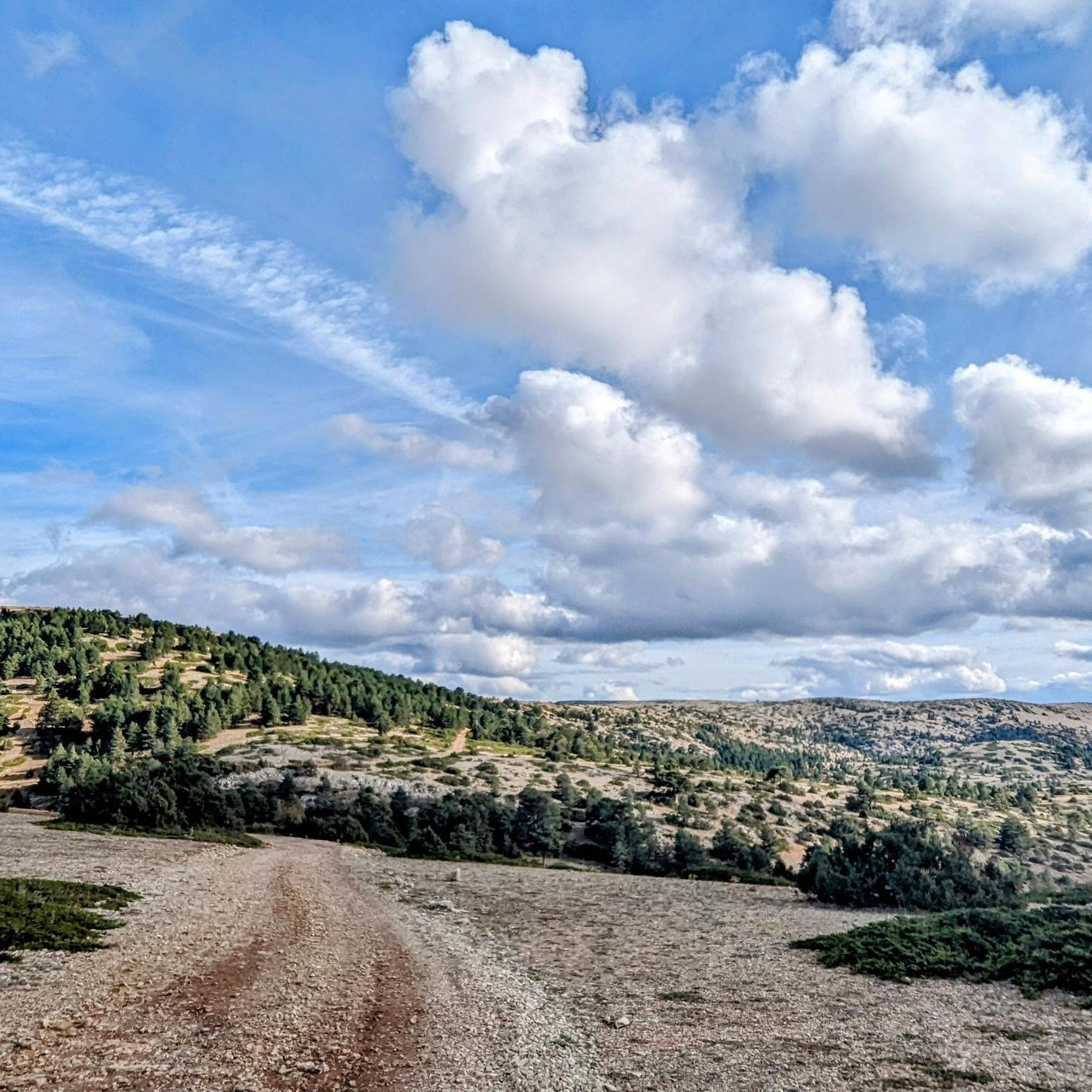
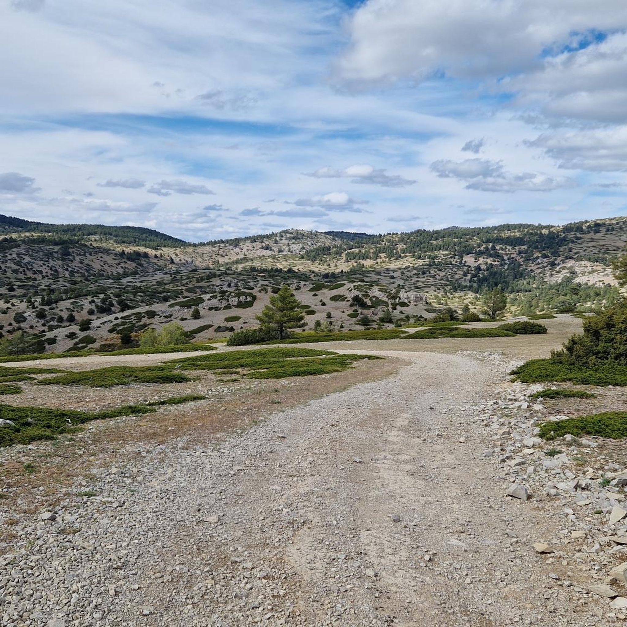
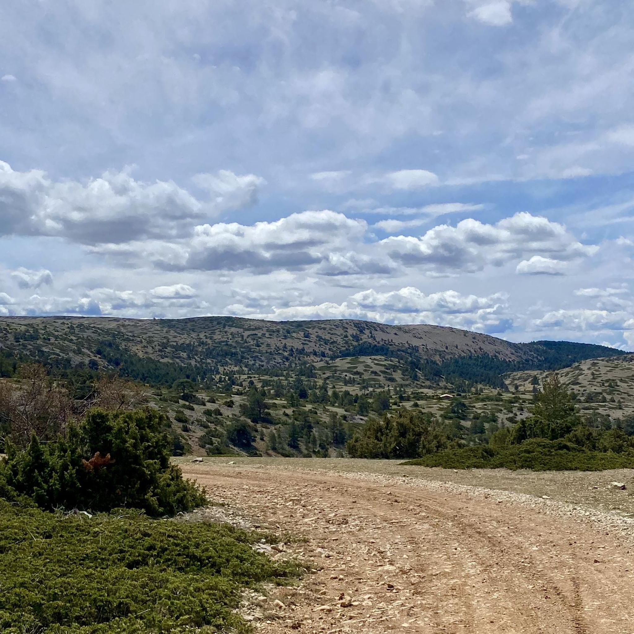
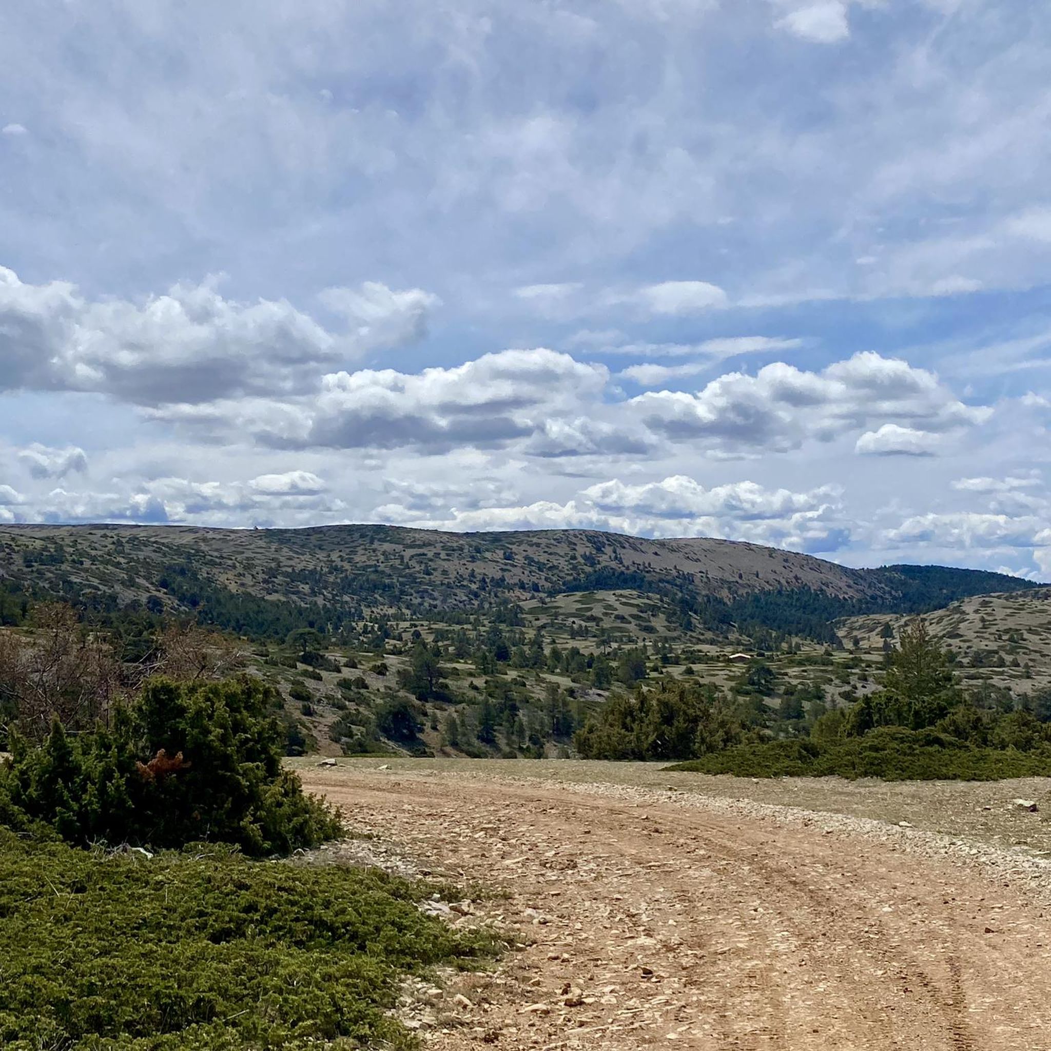
Other adventures around Puebla De San Miguel

Tips from the Community

Located at an altitude of 1,715 meters, this refuge is accessible from La Puebla de San Miguel or Camarena de la Sierra. The refuge is a simple stone hut with basic amenities such as a small fireplace and a nearby fountain called Fuente del Pozo. It is an ideal place for hikers looking to rest for the night while exploring the Sierra de Javalambre.🚴🚶♀️🚵🌄
4
0

a really gorgeous place - perfect for an overnight stay
3
0

Minimalistic shelter, enough to protect you from the weather. Keep in mind to bring enough water since there is no spring nearby.
3
1

The final section of the climb to Alto de las Barracas (1,838 m) is not cyclable but it is easy to climb pushing the bicycle. The trail markings pass through the vertex and continue in the direction of Pino Vicente. White and yellow signs are painted on the limestone rocks and there are also stone milestones marking the way.
0
0

Small refuge with wonderful views just 2km from Pico Calderón (1838m), which is worth visiting as it is the highest peak in the Valencian Community. The shelter will serve us in the event of a storm or if we want to recover energy and more precisely if we want to spend the night in it during the winter, since it does not have a door.
3
2

A very privileged site with amazing views on all sides, chosen by many athletes to challenge the demanding climb. The peak of Picón del Buitre is located at 1956 meters above sea level and was chosen to build the Astronomical Observatory given its remote location, altitude and low light pollution.
2
0
The top of Picón del Buitre at 1956 meters above sea level was chosen as the ideal site to build the Astronomical Observatory. Its remote location, altitude, and low light pollution from cities is all that is needed to be able to observe the stars at night. During the day it is a very privileged place with amazing views on all sides, chosen by many hikers and cyclists to challenge the demanding climb.
2
0
Its name refers to the surge from where the Riodeva is born. Not only is the landscape and environment of the Amanaderos something unique, but so is the path to get here. From the town of Riodeva, follow a path that in sections coincides with the GR 10 and runs along the river ravine between steps, boulevards and footbridges. A route that also runs through several waterfalls depending on the flow of the river depending on the rains.
3
0
Frequently Asked Questions
How many hiking trails are available in Puebla de San Miguel?
Puebla de San Miguel offers a diverse network of over 30 hiking trails. These routes cater to various fitness levels, including 9 easy, 15 moderate, and 6 difficult options, ensuring there's a suitable path for every hiker.
Are there easy hiking options suitable for families or beginners?
Yes, Puebla de San Miguel has 9 easy hiking routes perfect for families or beginners. These trails generally feature less elevation gain and shorter distances, allowing everyone to enjoy the natural beauty of the park. While specific family-friendly routes aren't detailed, the overall easy category is a good starting point.
Are there any circular hiking routes in the area?
Yes, many trails in Puebla de San Miguel are circular, allowing you to start and end in the same location. For example, you can explore the ancient juniper forest on The Forest of Las Blancas — Circular from Puebla de San Miguel, or take the longer Puebla de San Miguel Village – Las Blancas (Juniper Forest) loop from Puebla de San Miguel.
What natural features or landmarks can I expect to see along the hiking trails?
Hikers in Puebla de San Miguel can discover a variety of unique natural features. A major highlight is the ancient juniper forest, home to monumental junipers estimated to be up to 2,000 years old, which you can visit via Las Blancas (Juniper Forest). The area also boasts numerous yew trees, particularly in the Ripoll Ravine. You'll also find several natural springs, such as El Pozo and La Canaleja, offering fresh water along the way.
Are there any waterfalls in Puebla de San Miguel?
Yes, the region features beautiful waterfalls. The Amanaderos de Riodeva Loop is an 8.3-mile moderate route specifically known for its waterfalls and diverse terrain. You can also find The Amanaderos of Riodeva as a notable highlight.
What is the highest point I can reach on a hike in the area?
The highest point you can hike to in the Valencian Community, located within the Natural Park, is Cerro Calderón (Alto de las Barracas), standing at 1,838 meters. This peak offers stunning panoramic views and is a significant attraction for more challenging hikes.
Are there any shelters or refuges available for hikers?
Yes, for those undertaking longer or more challenging hikes, the Vicente Pine – Collado del Buey Shelter loop from Parque Natural de la Puebla de San Miguel passes by the Refugio Collado del Buey. Located at 1,720 meters, this basic refuge can serve as a convenient stop, especially for hikers heading towards Pico Calderón.
What do other hikers enjoy most about the trails in Puebla de San Miguel?
The trails in Puebla de San Miguel are highly rated by the komoot community, with an average score of 4.1 stars from 16 reviews. Hikers often praise the unique ancient juniper forests, the diverse landscapes, and the well-preserved natural environment of the Natural Park.
What is the best time of year to go hiking in Puebla de San Miguel?
Puebla de San Miguel offers hiking opportunities throughout much of the year. Spring and autumn generally provide the most pleasant temperatures for hiking, with vibrant flora in spring and beautiful colors in autumn. Summer can be warm, especially at lower elevations, while winter hikes, particularly to higher peaks like Cerro Calderón, may require appropriate gear for colder conditions.
Are there specific trails that showcase the ancient juniper forests?
Absolutely. The ancient juniper forests, particularly in the area of Las Blancas, are a major highlight. You can explore these monumental trees on routes like The Forest of Las Blancas — Circular from Puebla de San Miguel or the longer Puebla de San Miguel Village – Las Blancas (Juniper Forest) loop from Puebla de San Miguel.
Can I bring my dog on the hiking trails?
Puebla de San Miguel is a Natural Park, and while many natural areas in Spain permit dogs on trails, it's always recommended to check the specific regulations of the Puebla de San Miguel Natural Park before your visit. Generally, dogs should be kept on a leash to protect wildlife and ensure a pleasant experience for all hikers.
Are there any trails that lead to significant viewpoints or scenic overlooks?
Many trails in Puebla de San Miguel offer scenic views, especially those that ascend to higher elevations. The hike to Cerro Calderón (Alto de las Barracas), the highest point in the Valencian Community, provides exceptional panoramic vistas of the surrounding natural park and beyond.
Most popular routes around Puebla De San Miguel
Most popular attractions around Puebla De San Miguel

Get inspired with the komoot mobile app


Explore more
Browse the best Hikes in other regions.
