The best mountain hikes around San Millán / Donemiliaga
5.0
(1)
63
hikers
9
hikes
Mountaineering routes around San Millán / Donemiliaga traverse a diverse and rugged natural landscape in the province of Álava, Basque Country. The municipality is characterized by three distinct mountainous zones: Sierra de Urkilla, Sierra de Entzia, and the Aizkorri-Aratz Natural Park. These areas feature significant peaks and challenging escarpments, providing varied terrain for mountaineering. The region's geology includes prominent summits like Zukuz (1182 m) and San Román or Ballo (1193 m).
Best mountaineering routes around San Millán / Donemiliaga
- The most popular mountaineering route is Aitxuri – Aizkorri loop from Komentua, a 9.3 miles (15.0 km) trail that takes 6 hours 20 minutes to complete. This difficult route explores high peaks within the Aizkorri-Aratz Natural Park.
- Another top favourite among local mountaineers is Aratz – Imeleku loop from Araia, a difficult 6.7 miles (10.8 km) path. This route offers rugged terrain and panoramic views of the surrounding mountain ranges.
- Local mountaineers also love the Aizkorri – Liñategieta loop from San Adriango tunela, a 5.6 miles (9.1 km) trail leading through mountainous escarpments, often completed in about 4 hours 13 minutes.
- Mountaineering around San Millán / Donemiliaga is defined by mountainous escarpments, prominent peaks, and the varied terrain of the Aizkorri-Aratz Natural Park. The network offers options for both moderate and difficult ability levels.
- The routes in San Millán / Donemiliaga are highly rated by the komoot community with an average score of 5.0 stars from 2 reviews. More than 77 mountaineers have used komoot to explore San Millán / Donemiliaga's varied terrain.
Last updated: July 2, 2026
5.0
(1)
29
hikers
14.9km
06:22
890m
890m
Hard mountaineering route. Very good fitness required. Mostly accessible paths. Sure-footedness required.
9
hikers
Hard mountaineering route. Good fitness required. Sure-footedness, sturdy shoes and alpine experience required.

Sign up for free
9
hikers
Hard mountaineering route. Good fitness required. Sure-footedness, sturdy shoes and alpine experience required.
6
hikers
11.0km
04:09
580m
580m
Moderate mountaineering route. Good fitness required. Mostly accessible paths. Sure-footedness required.
6
hikers
10.3km
03:41
520m
520m
Moderate mountaineering route. Good fitness required. Mostly accessible paths. Sure-footedness required.
Get access to more routes and recommendations from other explorers.
Sign up for free
Already have an account?
Our route recommendations are based on thousands of hikes, rides, and runs completed by other people on komoot.
Start today with a free account
Your next adventure awaits.
Login or Signup
Popular around San Millán / Donemiliaga
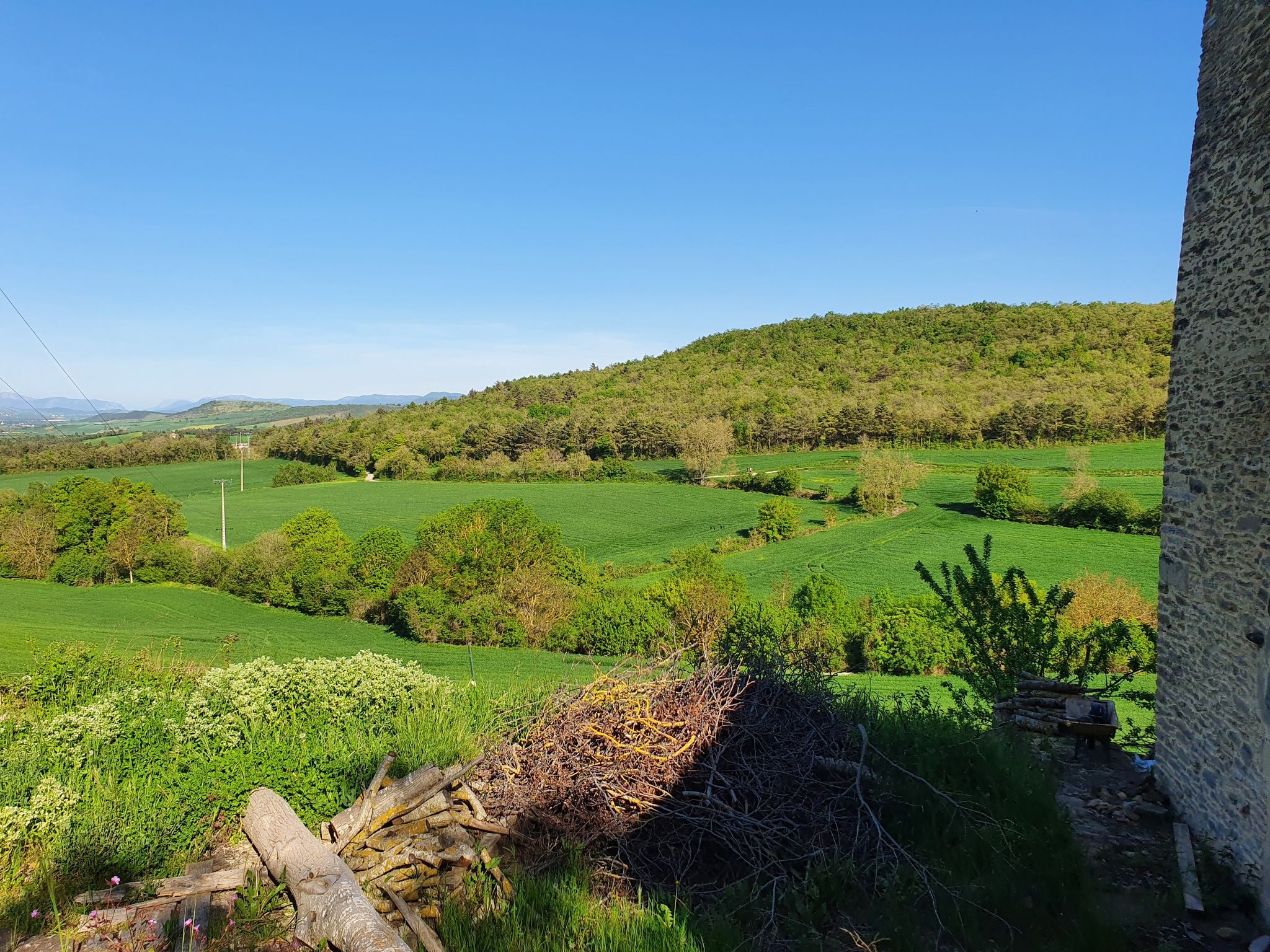
Tour through the Llanada Alavesa - On the GR 25
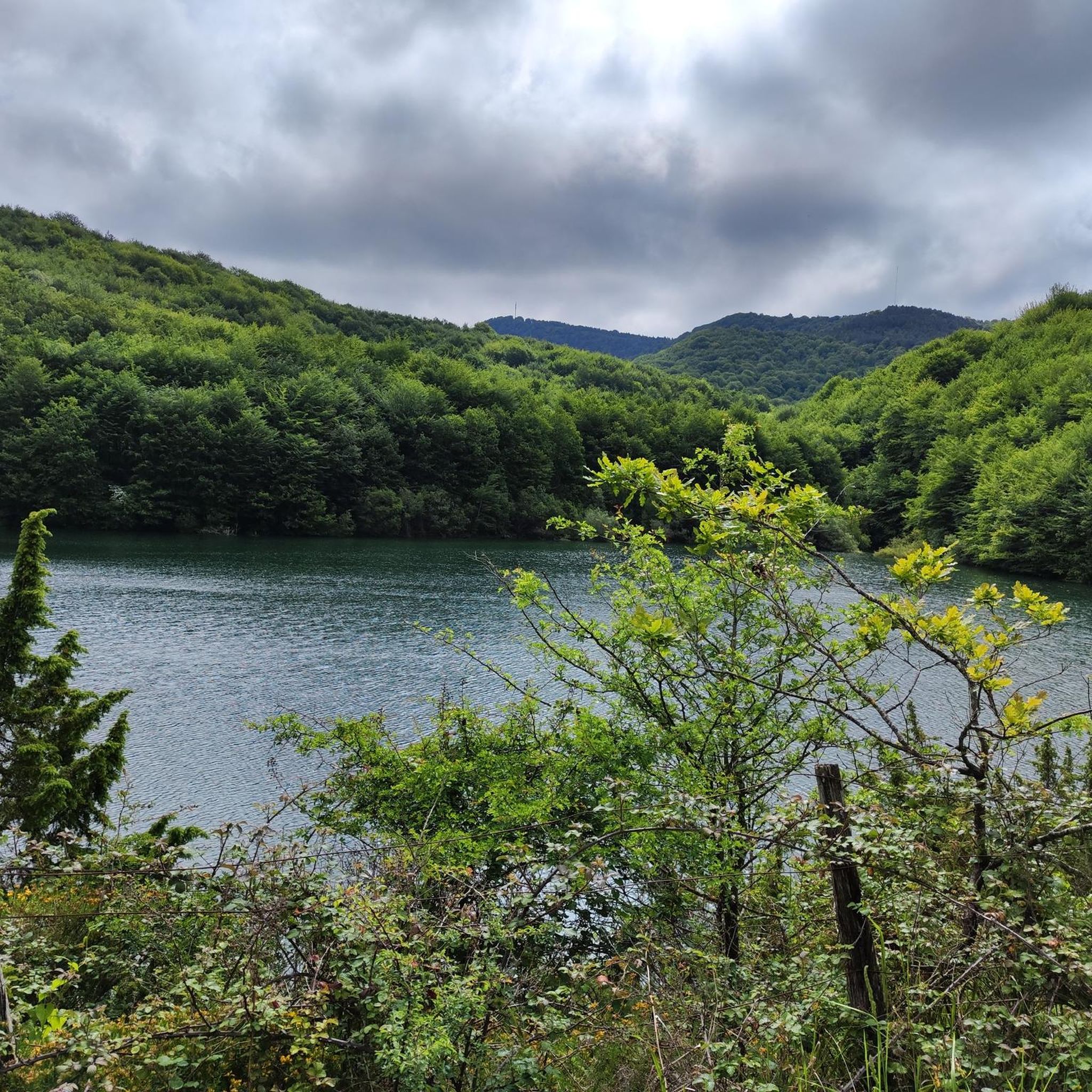
Cycling around San Millán / Donemiliaga
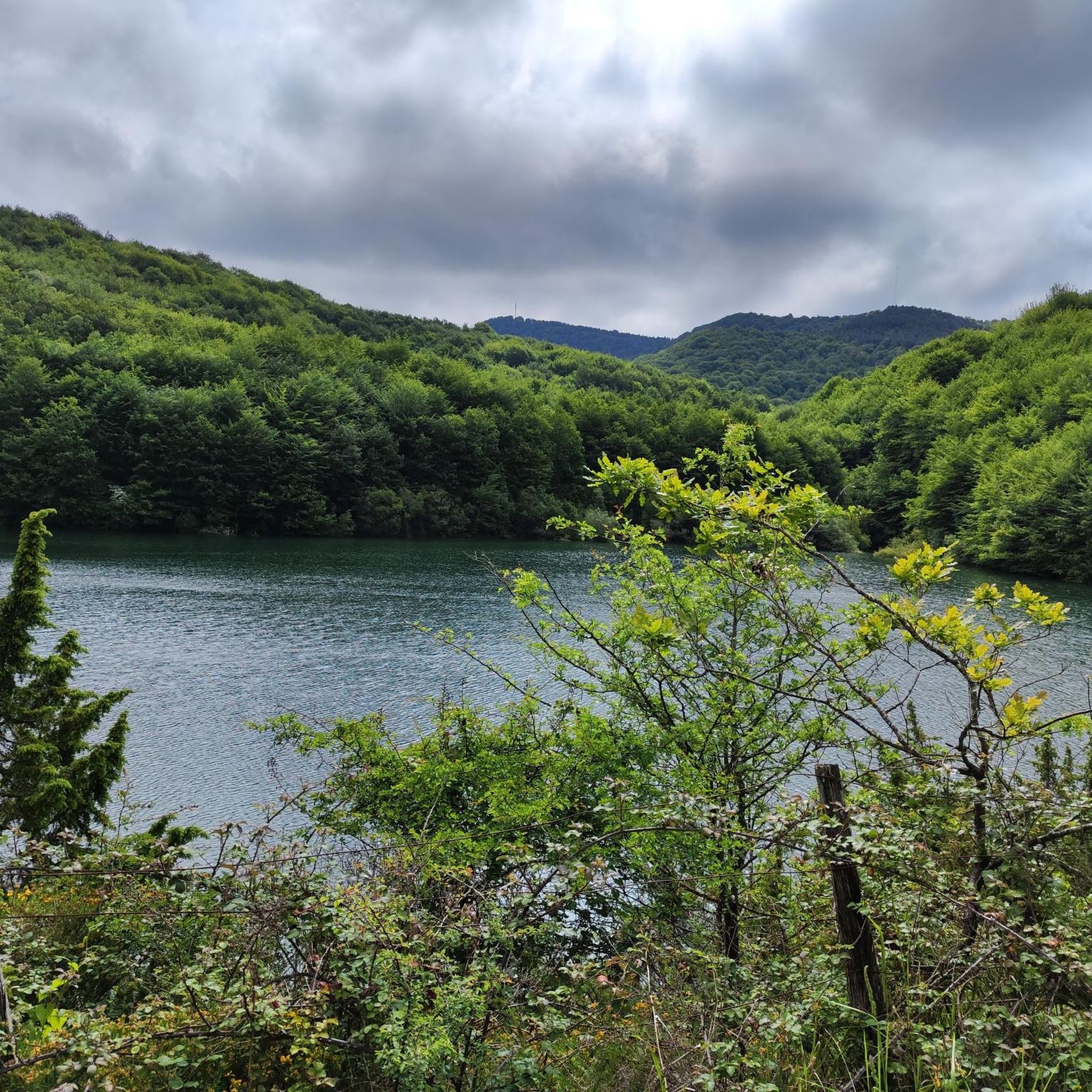
Road Cycling Routes around San Millán / Donemiliaga
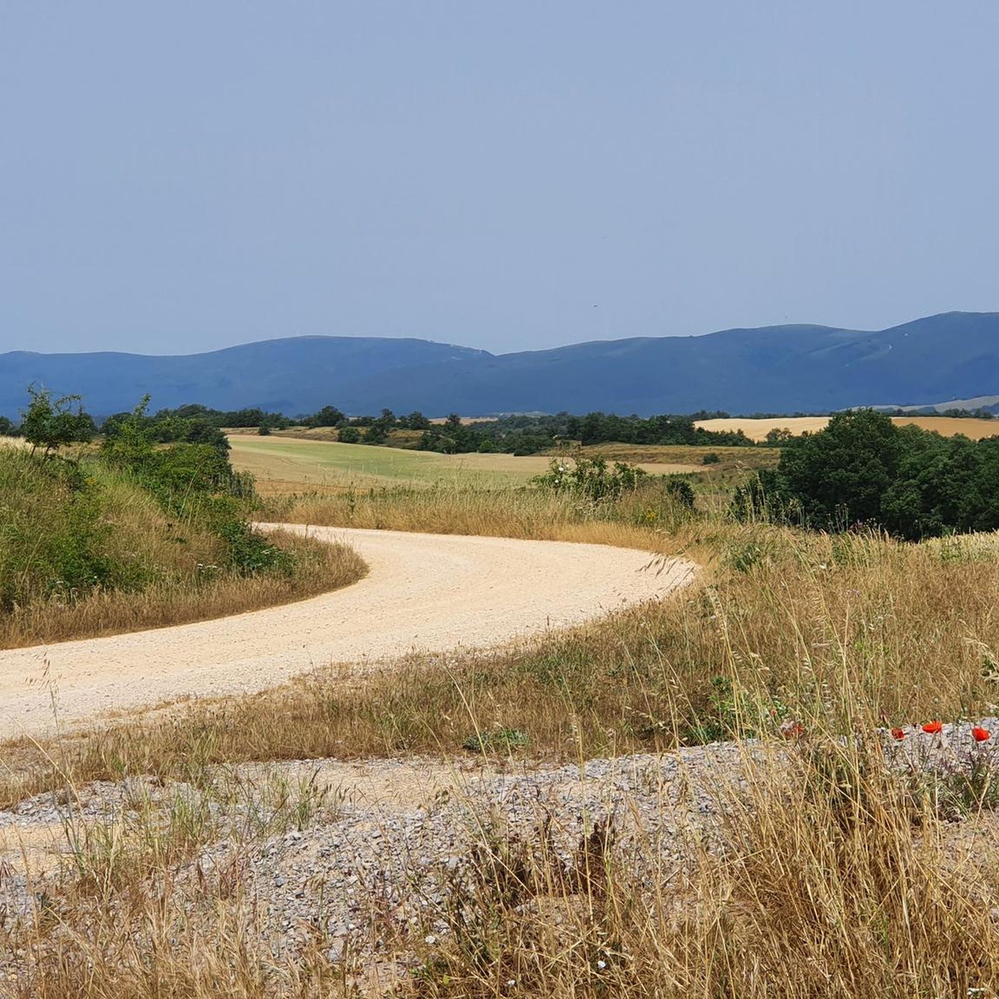
MTB Trails around San Millán / Donemiliaga

Gravel biking around San Millán / Donemiliaga
Hiking around San Millán / Donemiliaga
Running Trails around San Millán / Donemiliaga
Other adventures around San Millán / Donemiliaga

Tips from the Community


What's the deal with the names? Are "aketegi" and "aitxuri" the same thing?
0
0

The hermitage of Andra Mari de Urbia is located in a wide, green valley surrounded by mountains, within the Aizkorri-Aratz Natural Park, between Oñati and Zegama. It is an emblematic spot for Basque mountaineers, a common stop on routes to Mount Aizkorri and other peaks of the massif. The small church, dedicated to the Virgin Mary, stands next to a shelter and a meadow ideal for resting or enjoying the views.
2
0

If you climb from Araotz, follow the PR, and the climb is very easy and short. From the cave parking lot, it's much steeper and zigzags. About 2.5 or 3 km with a lot of elevation gain.
2
1

An inn dating back to 1925, located in the beautiful URBIA, which fulfills its role magnificently, HAPPY BIRTHDAY!
1
0
One of the highest points in the Basque Country, let yourself be enveloped by the fog and it will seem like a magical place.
0
0

A place to remember, a joy to visit.
4
0
A hill with wonderful 360-degree views.
0
0
Frequently Asked Questions
What kind of mountaineering routes can I expect in San Millán / Donemiliaga?
The region offers a diverse and rugged natural landscape, characterized by three distinct mountainous zones: the Sierra de Urkilla, Sierra de Entzia, and the Aizkorri-Aratz Natural Park. You'll find routes traversing challenging escarpments and prominent peaks, providing varied terrain for mountaineering enthusiasts.
Are there mountaineering routes suitable for different skill levels?
Yes, the mountaineering routes around San Millán / Donemiliaga cater to various skill levels. Out of the 12 available routes, 6 are classified as moderate and 6 as difficult, ensuring options for both experienced mountaineers and those looking for a significant challenge.
Can you recommend a moderate mountaineering route in the area?
For a moderate challenge, consider the Hermitage of Andra Mari de Urbia – Enaitz Summit loop from Komentua. This route covers approximately 11 km and involves an elevation gain of about 584 meters, offering a rewarding experience without the extreme difficulty of some other trails.
Are there any circular mountaineering routes available?
Many of the mountaineering routes in San Millán / Donemiliaga are designed as loops. For example, the challenging Aratz – Imeleku loop from Araia is a popular option, covering about 10.8 km with rugged terrain and panoramic views.
What are some notable peaks or landmarks I might encounter on a mountaineering route?
The region is home to several significant peaks such as Zukuz (1182 m), San Román or Ballo (1193 m), and Mirutegi (1166 m). While on your route, you might also pass by interesting points like the Aizkorri Refuge and Hermitage or the Urbia Inn, which can serve as resting points.
What do other mountaineers say about the routes in San Millán / Donemiliaga?
The mountaineering routes in San Millán / Donemiliaga are highly rated by the komoot community, with an average score of 5.0 stars. Over 77 mountaineers have explored the varied terrain, often praising the challenging nature and the stunning natural beauty of the Aizkorri-Aratz Natural Park and surrounding sierras.
Are there any historical or cultural sites near the mountaineering areas?
Yes, beyond the natural beauty, the region offers historical points of interest. The well-preserved Eguilaz or Aizkomendi dolmen is a prehistoric monument worth visiting. Additionally, the Monastery of San Bernardo de Barria, originally from the 12th century, now serves as a hostel and youth camp, providing a unique historical attraction.
What is the best time of year for mountaineering in this region?
The Basque Country, including San Millán / Donemiliaga, is known for its diverse climate. While mountaineering is possible year-round, spring and autumn generally offer the most pleasant conditions with milder temperatures and stable weather, ideal for tackling the challenging peaks. Summer can be warm, and winter may bring snow and ice to higher elevations, requiring appropriate gear and experience.
Are there any huts or refuges available along the mountaineering trails?
Yes, there are several huts and refuges that can be found in the vicinity of the mountaineering routes. Notable options include the Urbia Inn, the Aizkorri Refuge and Hermitage, and the Munipia Bora Shelter. These can be useful for longer excursions or as emergency shelters.
Can I find parking at the trailheads for these routes?
While specific parking details vary by trailhead, areas like Araia, Komentua, and San Adriango tunela, which serve as starting points for popular routes such as the Aratz – Imeleku loop from Araia or the Aizkorri – Liñategieta loop from San Adriango tunela, typically offer parking facilities for mountaineers.
Are there any mountaineering routes that offer views of mountain passes?
Many routes in the region provide expansive views, and you might even traverse near or over some notable mountain passes. Highlights in the broader area include the Urbasa Hairpin Bends, Opakua Pass, and Udana Pass Ascent, offering scenic vistas and challenging terrain.
What is the longest mountaineering route in the area?
The longest mountaineering route listed is the Aitxuri – Aizkorri loop from Komentua. This difficult trail spans approximately 15 km and involves a significant elevation gain of about 884 meters, typically taking around 6 hours and 20 minutes to complete.
Most popular routes around San Millán / Donemiliaga
Most popular attractions around San Millán / Donemiliaga

Get inspired with the komoot mobile app


Explore more
Browse the best Mountain Hikes & Routes in other regions.
