The best MTB trails around Alía
5.0
(3)
99
riders
28
rides
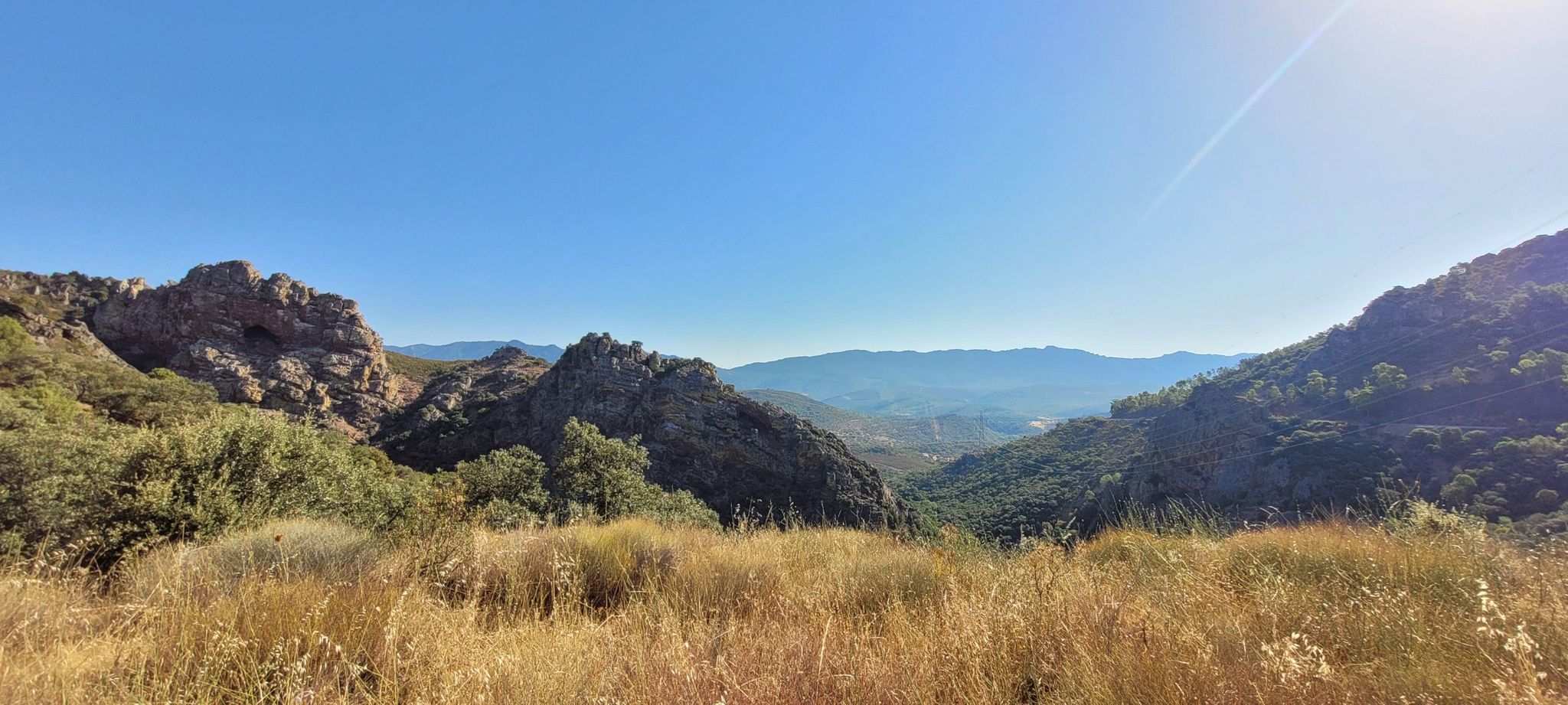
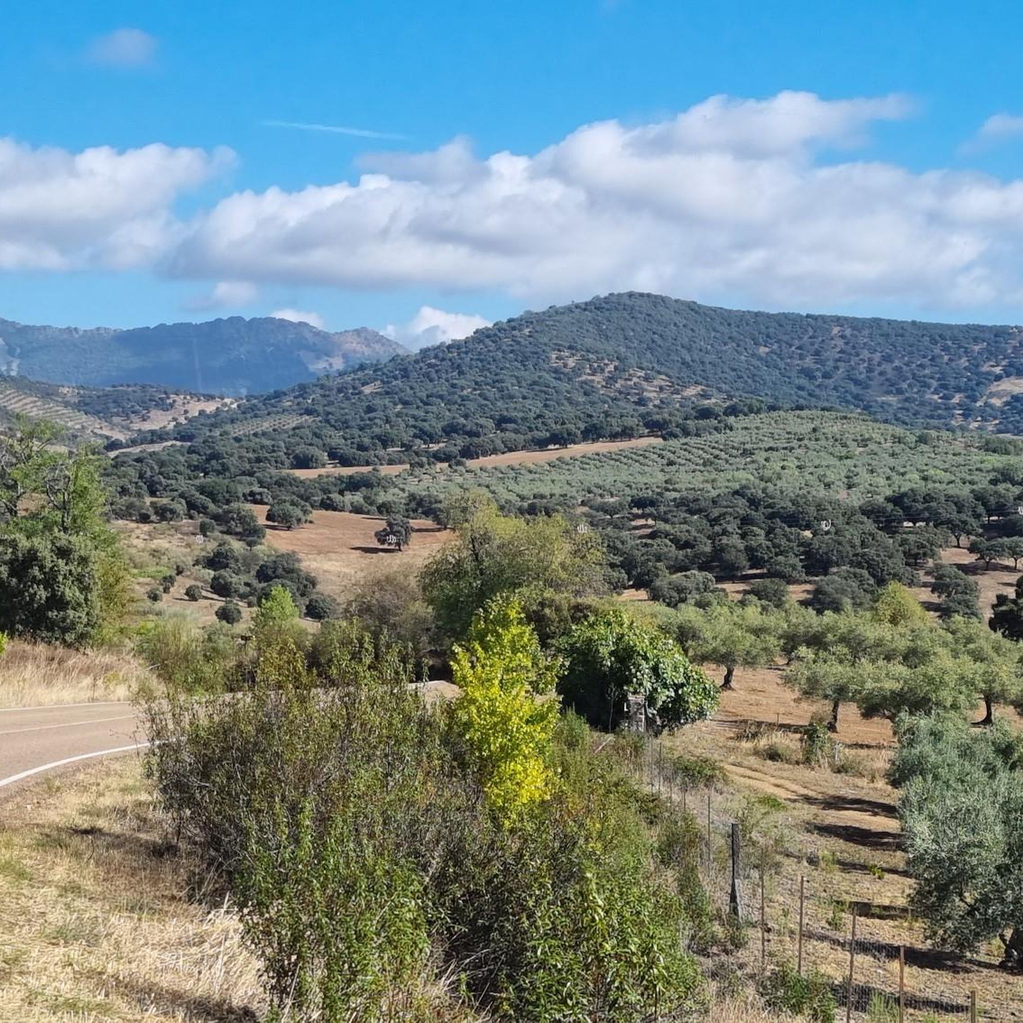
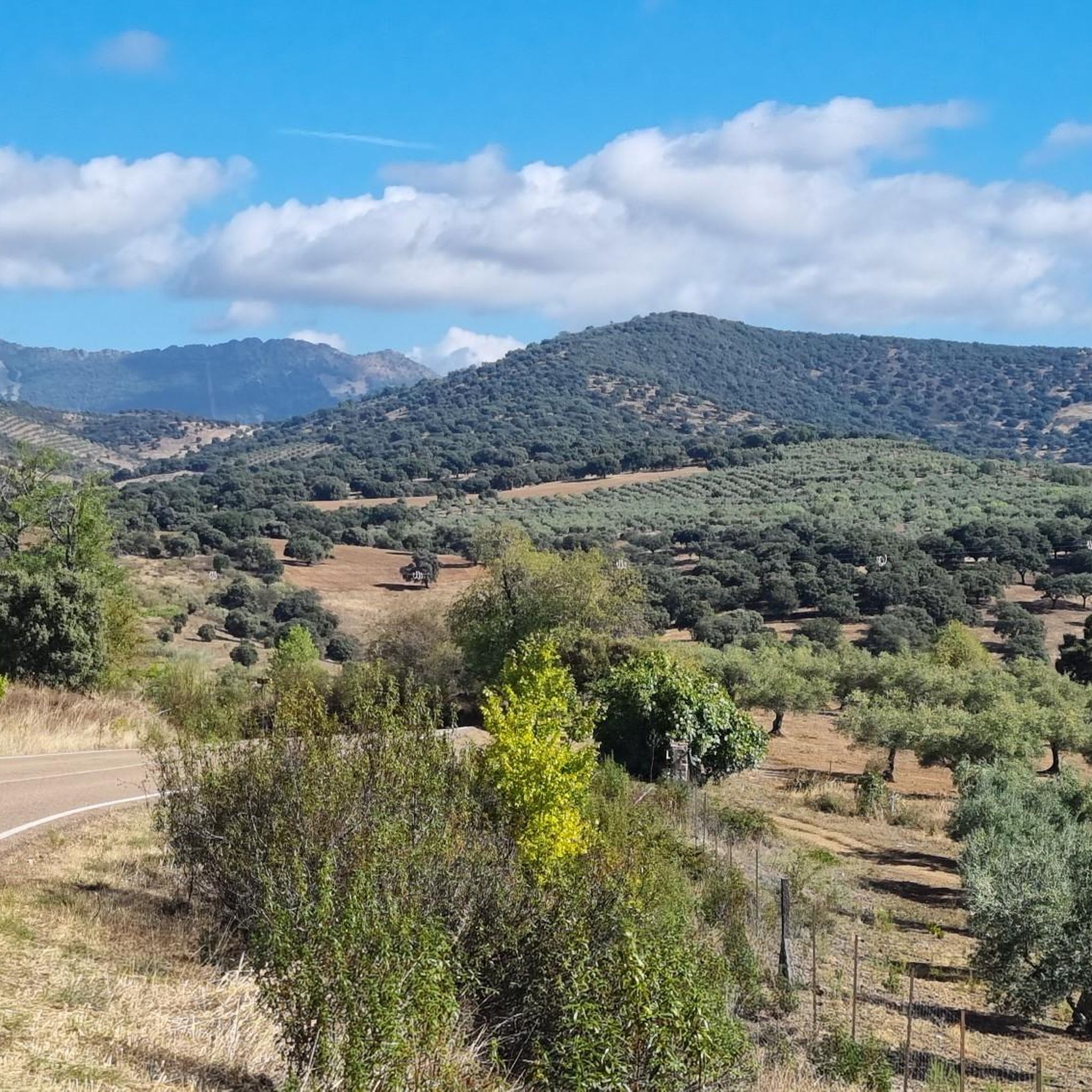
Mountain bike trails around Alía are characterized by a unique landscape, a direct result of its history as a phosphate mining site. This has created a distinct topography with elevated areas, deep valleys, and dramatic changes in elevation. Riders can expect varied terrain, including undulating landscapes with steep banks and challenging ridgeline tracks. The region offers a network of trails designed to cater to different skill levels.
Best mountain bike trails around Alía
- The most popular mountain bike trail is…
Last updated: August 21, 2026
12
riders
44.8km
04:11
1,330m
1,330m
Hard mountain bike ride. Very good fitness required. Suitable for all skill levels.
20
riders
92.6km
07:45
1,990m
1,990m
Hard mountain bike ride. Very good fitness required. Suitable for all skill levels.

Sign up for free
5.0
(1)
5
riders
32.2km
03:05
720m
720m
Moderate mountain bike ride. Good fitness required. Suitable for all skill levels.
5.0
(1)
5
riders
37.3km
03:29
810m
810m
Moderate mountain bike ride. Good fitness required. Suitable for all skill levels.
8
riders
74.6km
06:55
1,680m
1,680m
Hard mountain bike ride. Very good fitness required. Suitable for all skill levels.
Get access to more routes and recommendations from other explorers.
Sign up for free
Already have an account?
Our route recommendations are based on thousands of hikes, rides, and runs completed by other people on komoot.
Start today with a free account
Your next adventure awaits.
Login or Signup
Other adventures around Alía

Tips from the Community

The so-called Roman bridge of Guadarranquejo is a small historic bridge located in the municipality of Alía (Cáceres), within the region of Las Villuercas, in the surroundings of the Guadarranque river. It is an old stone bridge, traditionally considered of Roman origin (although it is not always fully documented). It crosses a stream or an arm of the Guadarranque river, a tributary of the Guadiana.
2
0
The Royal Monastery of Guadalupe (Cáceres) is a religious complex from the 14th century, declared a World Heritage Site in 1993.
4
0
El Alto del Humilladero and Pico Villuercas, near Guadalupe (Cáceres), form one of the most spectacular mountain routes in Extremadura, within the Villuercas‑Ibores‑Jara UNESCO Geopark. It is the highest summit in Extremadura accessible by road.
2
0

Beautiful viewpoint with a small parking lot, there is a path of approx. 600 meters to the gorge. Hundreds of swallows nest in the opposite cave.
5
0
Beautiful viewpoint with a small parking lot, there is a path of approx. 600 m to the gorge
7
0
During the twenties and thirties of the last century, a railway route was approved that was intended to connect Badajoz, Madrid, and Huelva, passing through Villanueva de la Serena and Talavera de la Reina. The rugged foothills of the Villuercas proved to be an insurmountable obstacle, leading to the project's abandonment three decades after its inception. As a reminder of that ill-fated project, today we are left with a grandiose viaduct at the gates of Guadalupe, crossing the broken valley of the Guadalupejo from end to end.
6
0
Hiking is fine, the second part from the campsite is quite steep, but doable with good shoes.
11
0
The floral decoration of the openings and the popular architecture of the adjacent houses give this gate one of the most unique images of the city. Continue further into Calle Sevilla to the fountain.
14
2
Frequently Asked Questions
How many mountain bike trails are available in Alía?
There are 18 mountain bike trails around Alía, offering a variety of options for different skill levels.
What are the difficulty levels of mountain bike trails in Alía?
The trails in Alía cater to various skill levels. You'll find 1 easy route, 11 moderate routes, and 6 difficult routes, ensuring options for both casual riders and experienced mountain bikers.
What kind of terrain can I expect on mountain bike trails in Alía?
Mountain bike trails around Alía feature a unique and varied landscape. Riders can expect undulating terrain with elevated areas, deep valleys, and dramatic changes in elevation, providing challenging ridgeline tracks and diverse riding experiences.
Are there any family-friendly mountain bike trails in Alía?
Yes, there is one easy mountain bike route in Alía, which is suitable for families or those looking for a less strenuous ride. For a moderate option, consider the Guadalupe Monastery loop from Guadalupe, which offers a mix of ascents and descents through the region's distinct topography.
What do other mountain bikers say about the trails in Alía?
The mountain bike routes in Alía are highly rated by the komoot community, with an average score of 4.5 stars. Over 60 mountain bikers have used komoot to explore Alía's varied terrain, often praising the unique landscape and diverse challenges.
Are there any circular mountain bike routes in Alía?
Yes, many of the trails in Alía are designed as loops. For example, the challenging Collado del Hospital – Humilladero Pass loop from Risco del Telégrafo is a 36.3-mile route with significant elevation changes. Another popular option is the moderate Alía loop from Alía, covering 24 miles.
What are some notable landmarks or attractions I can see while mountain biking in Alía?
The region around Alía offers several interesting landmarks. You might encounter the historic Royal Monastery of Santa María de Guadalupe or the impressive Guadalupe Viaduct. For natural features, consider routes that pass near the San Vicente Pass or the Cancho del Fresno Reservoir.
Are there any scenic viewpoints along the mountain bike trails in Alía?
Yes, the varied topography of Alía provides opportunities for scenic views. You can find a notable Viewpoint at the Estrecho de Peña Amarilla, offering panoramic vistas of the surrounding landscape. Some routes also ascend to summits like Pico Villuercas Summit, which would offer expansive views.
What is a challenging mountain bike route for experienced riders in Alía?
For experienced riders seeking a challenge, the San Vicente Pass – Alía loop from El Robledillo is a difficult 43.6-mile trail. It features significant elevation gain and varied terrain, typically taking over 6 hours to complete.
Are there any trails that offer a good mix of ascents and descents?
Many routes in Alía are characterized by their undulating nature. The Puerto de Arrebatacapas loop from Mohedas de la Jara is a moderate 30.4-mile route that provides a good balance of climbs and descents through the region's distinct landscape.
Most popular attractions around Alía

Get inspired with the komoot mobile app


Explore more
Browse the best MTB trails in other regions.
