The best running trails around Almoharín
104
runners
29
runs
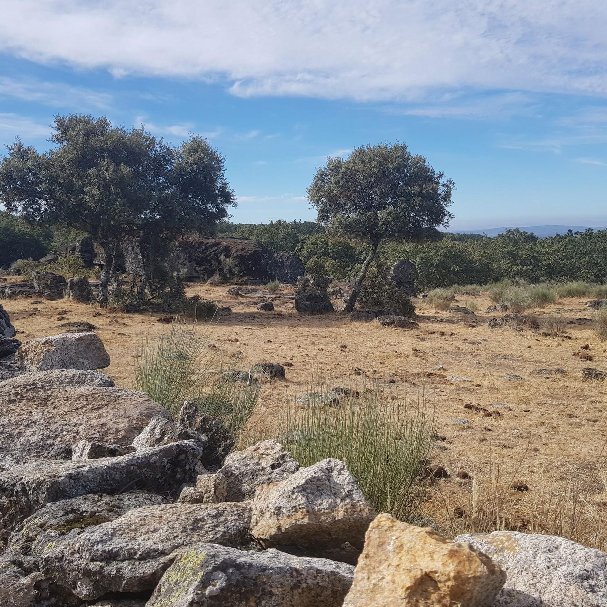
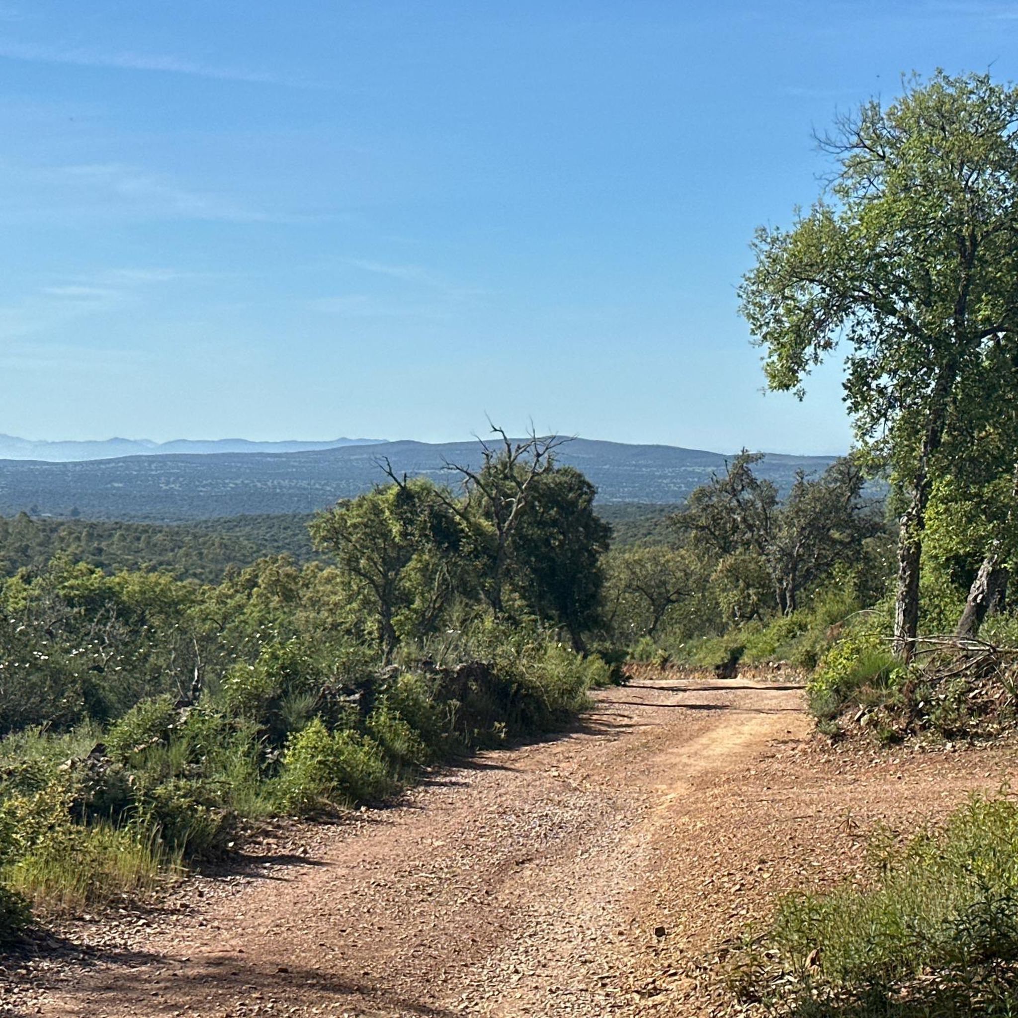
Jogging around Almoharín offers access to a diverse landscape characterized by the "dehesa extremeña," featuring pastures dotted with oak and cork trees. The region includes views of the Sierras de Montánchez and San Cristóbal, providing varied terrain from gentle paths to more challenging climbs. Runners can also encounter "campos de higuera," or fig tree fields, adding a unique visual element to many routes. This environment provides a serene and natural setting for outdoor activity.
Best jogging routes around Almoharín
- The…
Last updated: October 13, 2026
15
runners
12.7km
01:40
390m
390m
Hard run. Very good fitness required. Mostly accessible paths. Some sure footedness required.
14
runners
Hard run. Very good fitness required. Mostly accessible paths. Some sure footedness required.

15.3km
01:45
70m
70m
Hard run. Very good fitness required. Mostly paved surfaces. Suitable for all skill levels.
6
runners
19.7km
02:40
710m
710m
Hard run. Very good fitness required. Mostly paved surfaces. Suitable for all skill levels.
6
runners
16.7km
02:04
410m
410m
Hard run. Very good fitness required. Mostly paved surfaces. Suitable for all skill levels.
Get access to more routes and recommendations from other explorers.
Already have an account?
Our route recommendations are based on thousands of hikes, rides, and runs completed by other people on komoot.
Start today with a free account
Your next adventure awaits.
Tips from the Community

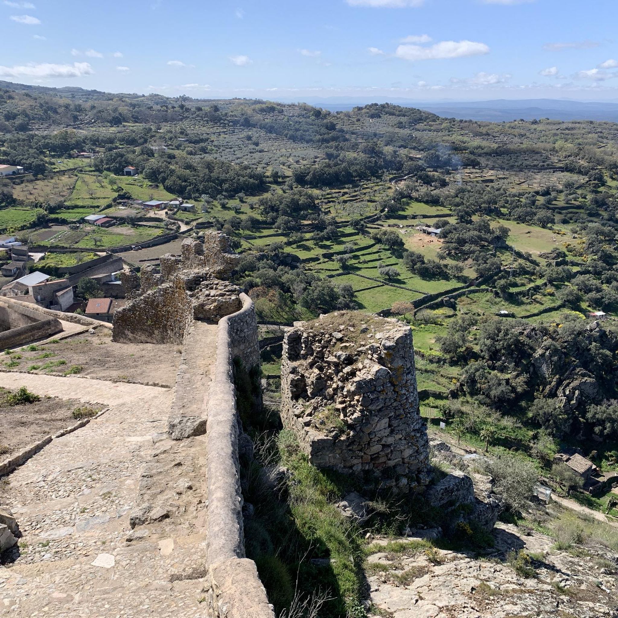
It is located atop a hill in the Sierra de Montánchez, also known as the "balcony of Extremadura," at an altitude of approximately 700–900 meters above sea level. Founded on the site of an earlier Roman fortress, its main structure dates back to the Caliphate period of the 9th century (Almohad era). It preserves three underground cisterns built between the 11th and 13th centuries. Captured around 1156–1230, it passed to the Order of Santiago after being granted by Alfonso XI. Walls, a keep, and defensive enclosures were added. 17th century: A hermitage and an interior pond were added. In 1620, it served as a prison for Don Rodrigo Calderón.
1
0

In the passage of the Canal de Orellana near what are called the Cerros Verdes there is a narrowing of the canal forming a narrow passage.
0
0
Next to the Canal de Orellana we find this path that runs alongside the waters and where it is surrounded by crops on one side and on the other, by the forests of the slopes of the Natural Park of Cornalvo.
0
0
Spectacular located on a hill at the top of the town that has the same name as the castle, Montánchez. It is worth going through its walls, all of which are straight.
0
1

Cultivated fields that in spring are filled with flowers and a spectacular green.
0
1

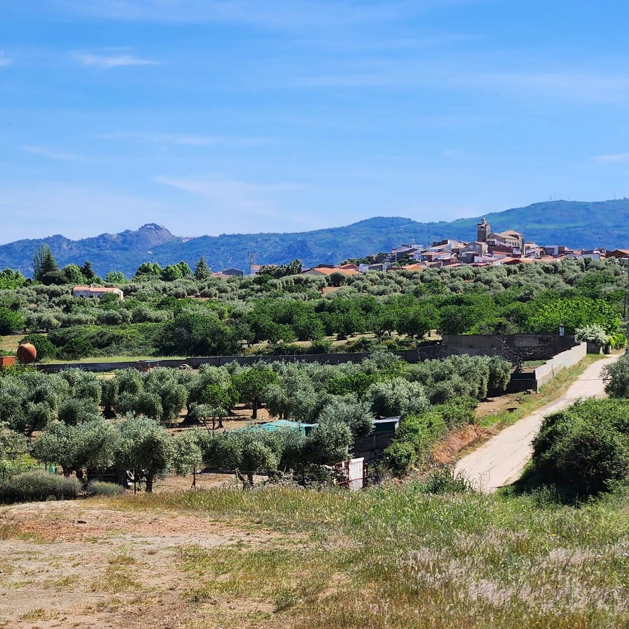
Almoharín is a small town in the south of the province of Cáceres in the region of Montánchez. Surrounded by agricultural fields, the scenic region is known for its fig production. Ride a bike through the city, head to Plaza España and admire the Parochial Church of El Salvador.
0
1

Almoharín is a small town in the south of the province of Cáceres in the region of Montánchez. Surrounded by agricultural fields, the scenic region is known for its fig production. Ride a bike through the city, head to Plaza España and admire the Parochial Church of El Salvador.
1
1
Arroyomolinos is a small town in the Montánchez region, founded around the year 1228 by order of King Alfonso IX on a prehistoric settlement. Stop for a coffee along the way and admire the splendid Church of Nuestra Señora de la Consolación.
1
1
Frequently Asked Questions
How many running trails are available around Almoharín?
There are 12 diverse running routes documented on komoot for the Almoharín area. These trails offer a range of experiences, from moderate paths through the dehesa extremeña to more challenging climbs with significant elevation changes.
What kind of terrain can I expect on the jogging routes near Almoharín?
The terrain around Almoharín is characterized by the picturesque "dehesa extremeña," featuring pastures dotted with oak and cork trees. You'll find varied landscapes, including views of the Sierras de Montánchez and San Cristóbal, offering both gentle paths and more challenging ascents. Many routes also pass through "campos de higuera," or fig tree fields, providing a unique visual experience.
Are there any easy running routes for beginners in Almoharín?
While many routes in the area are rated moderate to difficult, a good option for a less strenuous run is the Running loop from Miajadas. This route is 9.1 km long and is classified as moderate, offering a more accessible experience compared to some of the more challenging trails.
What are some scenic viewpoints or landmarks I can see while running in the region?
The region offers several scenic spots. You can enjoy impressive panoramic views from the Sierra de San Cristóbal. Additionally, routes like Montánchez - Arroyomolinos – circular via the Ruta de los Molinos (PR-CC 27) offer views of the surrounding landscapes, including the area near the impressive Montánchez Castle. The "campos de higuera" (fig tree fields) also provide a unique visual element.
Are there any circular running routes around Almoharín?
Yes, several circular routes are available. For example, the Ruta de los Molinos (PR-CC 27) — circular desde Arroyomolinos is a popular 12.7 km loop. Another option is the Canal de Orellana — circular desde Torrefresneda, which is a longer 15.3 km circular route.
What do other runners say about the trails in Almoharín?
More than 60 runners have used komoot to explore Almoharín's varied terrain. They often praise the serene and natural setting provided by the dehesa extremeña, as well as the diverse landscapes that include views of the Sierras de Montánchez and San Cristóbal.
Can I find routes that pass by water features or reservoirs?
Yes, the area includes several water features. You can find routes that pass near the Cornalvo Dam and the Cornalvo Reservoir, which are part of the nearby Parque Natural de Cornalvo. The Canal de Orellana — circular desde Torrefresneda also offers views of a significant water canal.
Are there any longer running routes for experienced runners?
For experienced runners looking for a challenge, the Canal de Orellana — circular desde Torrefresneda is a difficult 15.3 km route. Another demanding option is the Ruta de los Molinos (PR-CC 27) — circular desde Arroyomolinos, which covers 12.7 km with notable elevation changes.
What is the best time of year to go jogging in Almoharín?
The region is beautiful year-round, but spring, particularly March, is noted for the blooming rockrose ("Jara"), which adds to the scenic beauty. The traditional Mediterranean landscape of the "dehesa extremeña" provides a pleasant environment for running in many seasons, though summers can be hot.
Are there any specific trails that highlight the local agriculture or natural features?
Yes, many routes will take you through the characteristic "campos de higuera" (fig tree fields), reflecting Almoharín's reputation for high-quality figs. The Route of the Mills loop from Extremadura, for instance, leads through the dehesa extremeña, showcasing the traditional Mediterranean landscape with its oak and cork trees.
Can I find trails that offer views of the surrounding mountain ranges?
Absolutely. Many jogging routes in the Almoharín area provide excellent views of the Sierras de Montánchez and San Cristóbal. The Sierra de San Cristóbal itself offers an easy ascent, rewarding runners with impressive panoramic views from its 791-meter summit.
Most popular attractions around Almoharín

Get inspired with the komoot mobile app


Explore more
Browse the best Running Trails & Routes in other regions.
