The best mountain hikes around El Ràfol D'Almúnia
4.6
(10)
12
hikers
4
hikes
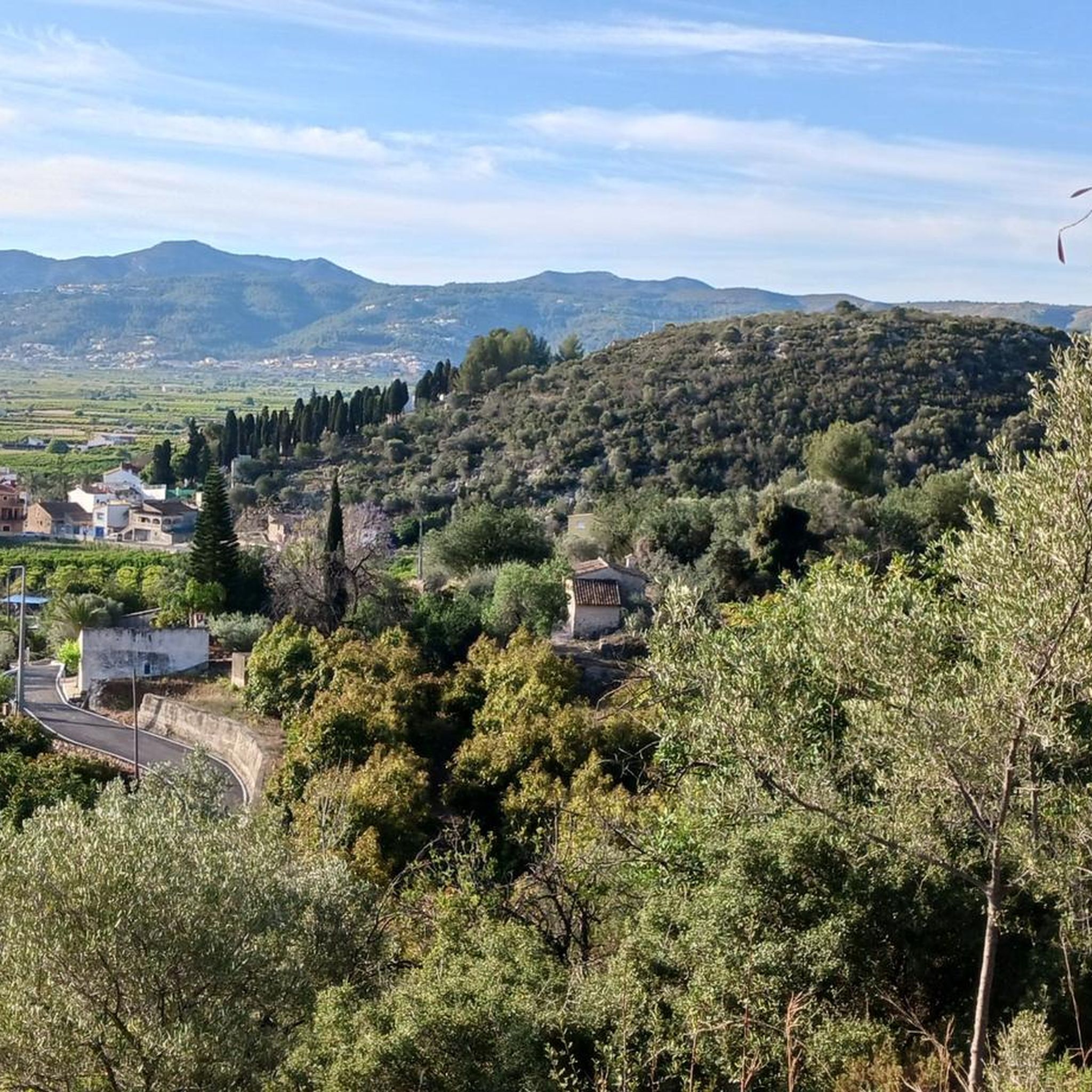
Mountaineering routes around El Ràfol D'Almúnia are situated in the Marina Alta region, at the foot of the Serra de Segària mountain range. The area features a mix of mountainous terrain, verdant valleys, and proximity to the Mediterranean coast. Landscapes include rocky formations, limestone and sandstone mountains, and lush orange groves. This region offers diverse opportunities for exploring rugged natural features.
Best mountaineering routes around El Ràfol D'Almúnia
- The most popular mountaineering route is Rocky Staircase Trail – Benimaurell Public…
Last updated: August 31, 2026
4.5
(4)
5
hikers
10.1km
03:50
430m
430m
Moderate mountaineering route. Good fitness required. Mostly accessible paths. Sure-footedness required.
4.8
(4)
5
hikers
6.26km
02:27
280m
280m
Moderate mountaineering route. Good fitness required. Mostly accessible paths. Sure-footedness required.

Sign up for free
5.0
(1)
1
hikers
6.28km
02:56
420m
420m
Moderate mountaineering route. Good fitness required. Mostly accessible paths. Sure-footedness required.
4.0
(1)
1
hikers
7.57km
02:46
340m
340m
Moderate mountaineering route. Good fitness required. Mostly accessible paths. Sure-footedness required.
Our route recommendations are based on thousands of hikes, rides, and runs completed by other people on komoot.
Start today with a free account
Your next adventure awaits.
Login or Signup

Tips from the Community

The first descent of 300m via a large section of the 6800 steps, brings you to the first barranco, Rio Girona
0
0


Former public laundry that served the town of Fleix and the neighboring rural community.
0
1

Definitely do it. Walking in the riverbed is not boring at all and the cave is the ultimate experience.
0
1
Past the church you come to the plantations and signposts.
0
0
The view, climbing between rocks. You have to do this route!
1
0

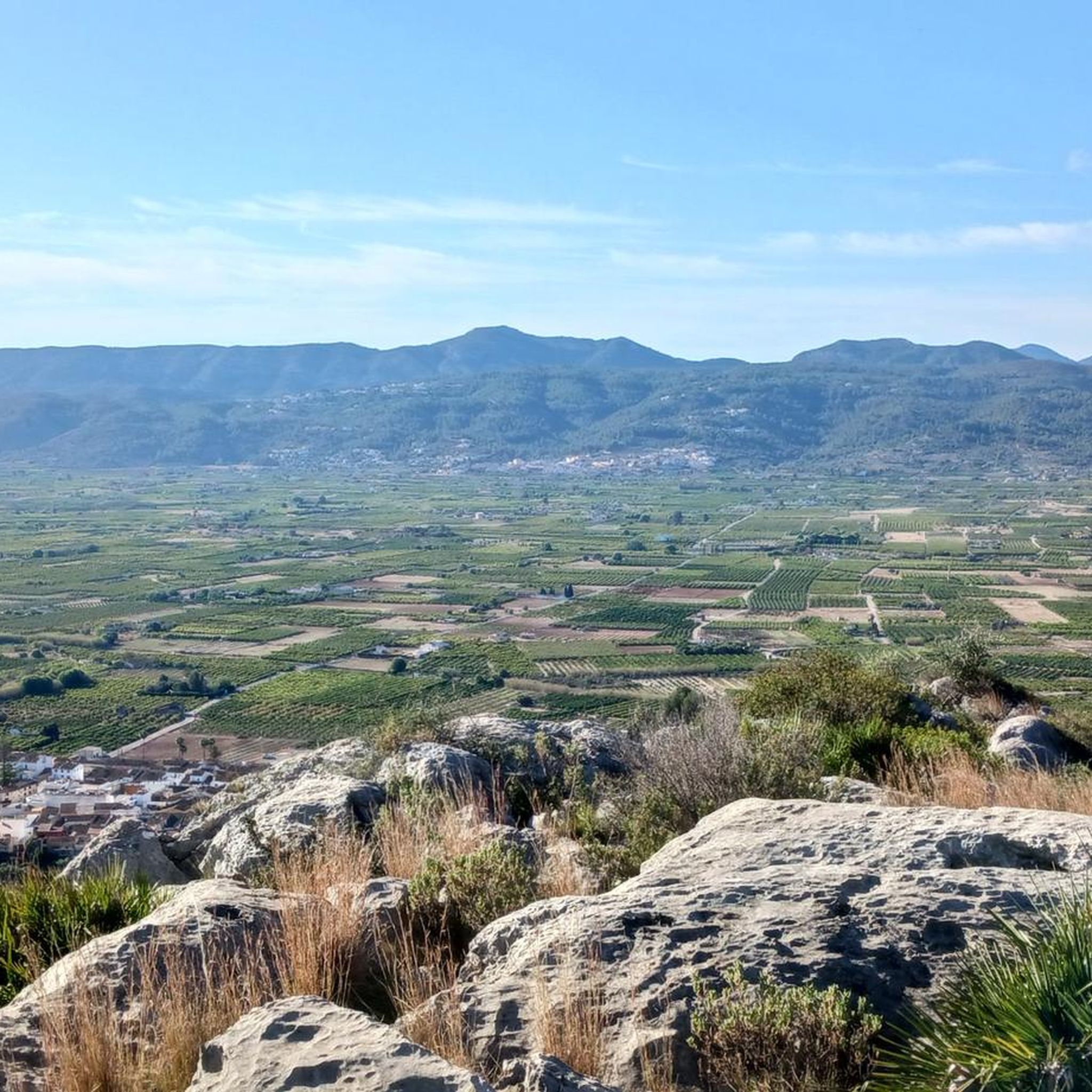
The views offered by the pass are simply amazing. In all directions you will be able to appreciate the valleys of La Marina Alta and Baja and with good visibility you will be able to see the Costa Blanca between Denia and Gandía. A highly recommended site as well as the walk along the Penyal Roig path.
4
0
This is one of the two crossings to pass the Ebo river that are located on the Barranco del Infierno Route. This one, in particular, is downstream. It is easily crossed on foot and during flood periods the river can be quite strong, so it is recommended to be cautious or to check beforehand in the village about the state of the crossing.
1
0
Frequently Asked Questions
What kind of terrain can I expect on mountaineering routes around El Ràfol D'Almúnia?
The region offers a diverse landscape for mountaineering. You'll encounter rocky formations, limestone and sandstone mountains, and verdant valleys. The Serra de Segària mountain range is a prominent feature, providing panoramic views and varied terrain, often nestled amidst picturesque mountains and lush orange groves.
Are there any easy or beginner-friendly mountaineering routes in El Ràfol D'Almúnia?
While mountaineering generally implies a certain level of challenge, there are routes suitable for those looking for a moderate introduction. For instance, the Font Grossa Washhouse – Benimaurell Washhouse loop from el Campell is rated moderate and offers a balanced challenge. Similarly, the Benimaurell Washhouse – Coll de Garga loop from la Vall de Laguar is also moderate and shorter, making it a good option for those building experience.
What are some notable natural features or landmarks I can see along the mountaineering routes?
The area is rich in natural beauty and interesting landmarks. You can explore the Penya Roja Summit for expansive views, or discover intriguing geological formations like the Cave of the Skulls in nearby Benidoleig. The Marjal de Pego-Oliva Natural Park, with its wetlands and springs, is also close by for a different kind of natural exploration.
Are there any circular mountaineering routes available?
Yes, several routes are designed as loops, allowing you to start and end at the same point. A challenging option is the Rocky Staircase Trail – Benimaurell Public Washhouse loop from el Campell. For a moderate experience, consider the Benimaurell Washhouse – View of Penyal Roig loop from la Vall de Laguar, which offers scenic views.
What is the best time of year for mountaineering in El Ràfol D'Almúnia?
Given its Mediterranean climate, the best times for mountaineering are typically spring (March to May) and autumn (September to November). During these seasons, temperatures are milder and more comfortable for strenuous activity, avoiding the intense heat of summer and potential cooler, wetter conditions in winter. Always check local weather forecasts before heading out.
What do other mountaineers say about the routes in El Ràfol D'Almúnia?
The mountaineering routes around El Ràfol D'Almúnia are highly regarded by the komoot community, holding an average rating of 4.6 stars from over 10 reviews. Users often praise the diverse terrain, the stunning panoramic views from peaks like Serra de Segària, and the rewarding challenge these routes offer.
Are there any routes that offer views of the coast or nearby towns?
Absolutely. Many routes in the region provide expansive vistas. For example, the View of Dénia loop from Beniarbeig offers glimpses of the coastal town of Dénia. The Serra de Segària mountain range itself is known for its panoramic views, often extending towards the Mediterranean Sea.
How many mountaineering routes are there in El Ràfol D'Almúnia?
There are several dedicated mountaineering routes around El Ràfol D'Almúnia, with a total of 6 routes detailed in this guide. These range in difficulty from moderate to difficult, offering options for various skill levels.
Can I find places to eat or stay near the mountaineering routes?
El Ràfol D'Almúnia and the surrounding villages in the Marina Alta region offer various amenities. You'll find local cafes and restaurants where you can refuel after your adventures, as well as accommodation options ranging from guesthouses to rural hotels. It's advisable to check in advance for specific opening hours and availability, especially in smaller villages.
What kind of challenges can I expect on the more difficult mountaineering routes?
The more difficult routes, such as the Rocky Staircase Trail – Benimaurell Public Washhouse loop from el Campell, feature significant elevation gain and varied, rugged terrain. These routes often require good physical fitness, experience with mountain environments, and a head for heights, sometimes involving scrambling sections.
Are there any other outdoor activities besides mountaineering in the area?
Yes, the region around El Ràfol D'Almúnia is a hub for various outdoor sports. You can enjoy cycling, with options like the Dénia to Gandía Greenway or challenging road climbs. Canyoning, multi-adventure activities like zip-lining and via ferratas, and exploring caves are also popular, catering to a wide range of adventure preferences.
Most popular routes around El Ràfol D'Almúnia
Most popular attractions around El Ràfol D'Almúnia

Get inspired with the komoot mobile app


Explore more
Browse the best Mountain Hikes & Routes in other regions.
