The best road cycling routes around Santiponce
4.2
(144)
8,702
riders
171
rides
Road cycling routes around Santiponce traverse a diverse landscape, ranging from flat agricultural plains to moderately challenging rolling terrain. The region is characterized by extensive fields of cereal crops, olive groves, and fruit orchards, providing scenic backdrops for rides. Many routes follow quiet secondary roads and often pass alongside the Guadalquivir River, offering varied views. This area blends historical richness with natural beauty, making it suitable for cyclists of all levels.
Best road cycling routes around Santiponce
- The most popular…
Last updated: July 12, 2026
4.8
(10)
457
riders
58.9km
02:33
340m
340m
Moderate road ride. Good fitness required. Mostly well-paved surfaces and easy to ride.
449
riders
66.0km
02:59
560m
560m
Moderate road ride. Good fitness required. Mostly well-paved surfaces and easy to ride.

Sign up for free
5.0
(1)
229
riders
87.4km
03:45
550m
550m
Moderate road ride. Good fitness required. Mostly well-paved surfaces and easy to ride.
196
riders
110km
04:55
1,090m
1,090m
Hard road ride. Very good fitness required. Mostly well-paved surfaces and easy to ride.
5.0
(3)
305
riders
Moderate road ride. Good fitness required. Some segments of this route may be unpaved and difficult to ride.
Get access to more routes and recommendations from other explorers.
Sign up for free
Already have an account?
Our route recommendations are based on thousands of hikes, rides, and runs completed by other people on komoot.
Start today with a free account
Your next adventure awaits.
Login or Signup

Tips from the Community

The Barqueta Bridge spans the Guadalquivir River. It is one of the main access routes to the northern part of Isla de la Cartuja and is located near the Science and Technology Park, as well as the Isla Mágica theme park. It connects La Cartuja with La Resolana and with the old town near the Monastery of San Clemente.
1
0


View of the Edificio Torretriana, an administrative building of the Junta de Andalucia, built in 1993. It is known for its unique circular shape and color (a yellow tint).
9
0

very nice and pretty
0
1

It is the fifth longest river in the Iberian Peninsula. It is 657 km from the Sierra de Cazorla (source) to Sanlúcar (Atlantic Ocean). On its journey through Andalusia from east to west it passes through cities such as Andújar, Córdoba and Seville. From pre-Roman times it was known as Baetis or Betis, and was called Wad al-Kibir (Great River) by the Arabs from the eleventh century.
7
0
The Puente de la Señorita, also known as the Puente de Camas, is a bridge over the Guadalquivir River in Seville. This bridge connects the Isla de la Cartuja with the village of Camas in the comarca of Aljarafe. The bridge was originally built in 1981 as part of the Seville-Huelva railway line, but since 1991 it has been used mainly for road traffic, cycling and walking.
8
0

Isabel II Bridge area next to San Jorge Castle.
15
0
Frequently Asked Questions
What kind of terrain can I expect on road cycling routes in Santiponce?
The region around Santiponce offers a diverse landscape for road cycling, ranging from flat agricultural plains to moderately challenging rolling terrain. You'll find extensive fields of cereal crops, olive groves, and fruit orchards providing scenic backdrops. Many routes follow quiet secondary roads with mostly paved surfaces, and some even pass alongside the Guadalquivir River, offering varied views.
How many road cycling routes are available around Santiponce?
There are over 180 road cycling routes available around Santiponce, catering to various skill levels. This includes 68 easy routes, 98 moderate routes, and 14 more challenging options.
Are there road cycling routes suitable for beginners in Santiponce?
Yes, Santiponce offers a good selection of routes for beginners. There are 68 easy routes available. An excellent option is the Cortijo Torre de la Reina – Church of Torre de la Reina loop from La Bachillera, which is an easy 49.7 km path winding through agricultural areas with minimal elevation gain.
What are some longer or more challenging road cycling routes in the Santiponce area?
For those seeking a greater challenge, Santiponce has 14 difficult routes. Consider the Aznalcóllar Mine – View of the Agrio Reservoir loop from Valencina-Santiponce, a demanding 129.6 km trail that leads through varied terrain, including views of the Agrio Reservoir. Another challenging option is the Las Pajanosas – Venta del Alto loop from Valencina-Santiponce, which covers 109.8 km with significant elevation gain.
What historical landmarks or attractions can I see along road cycling routes in Santiponce?
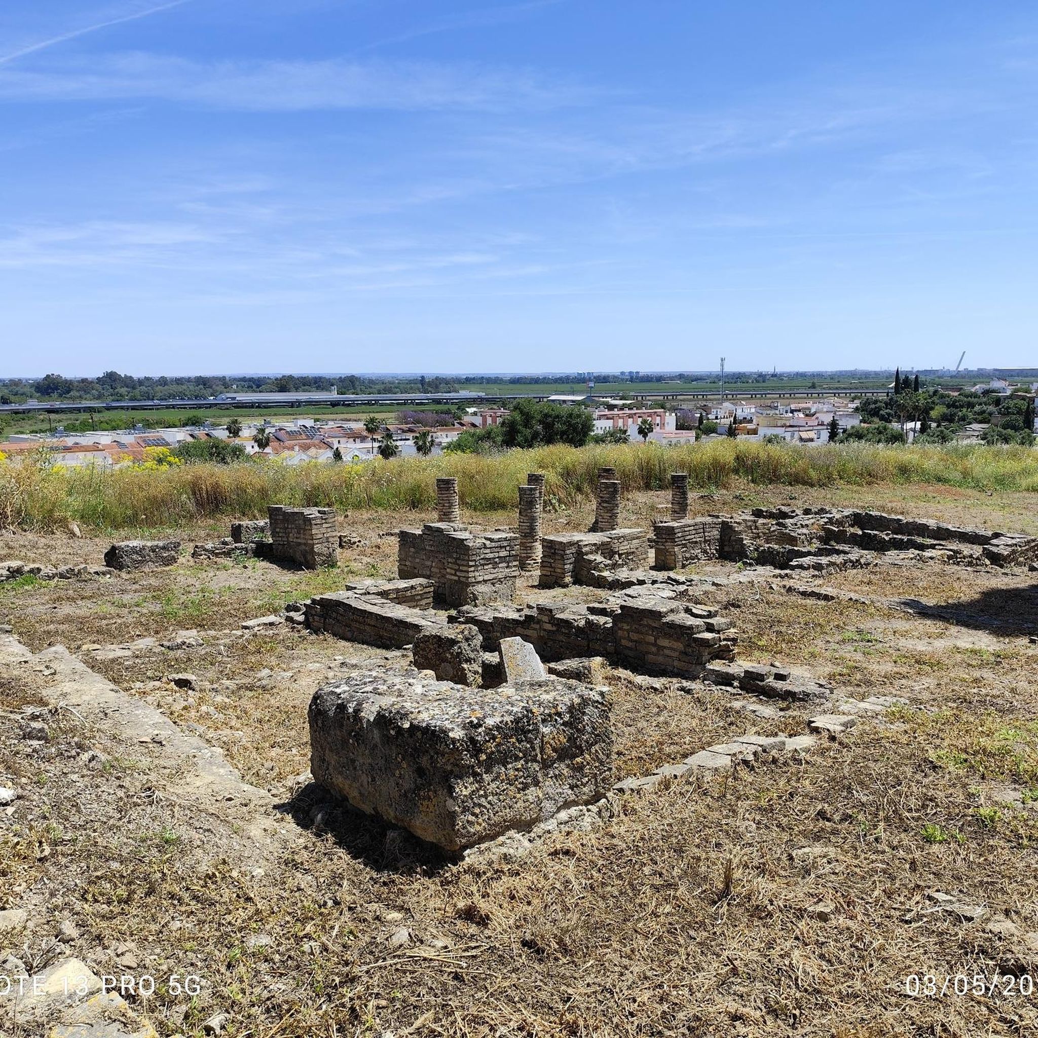
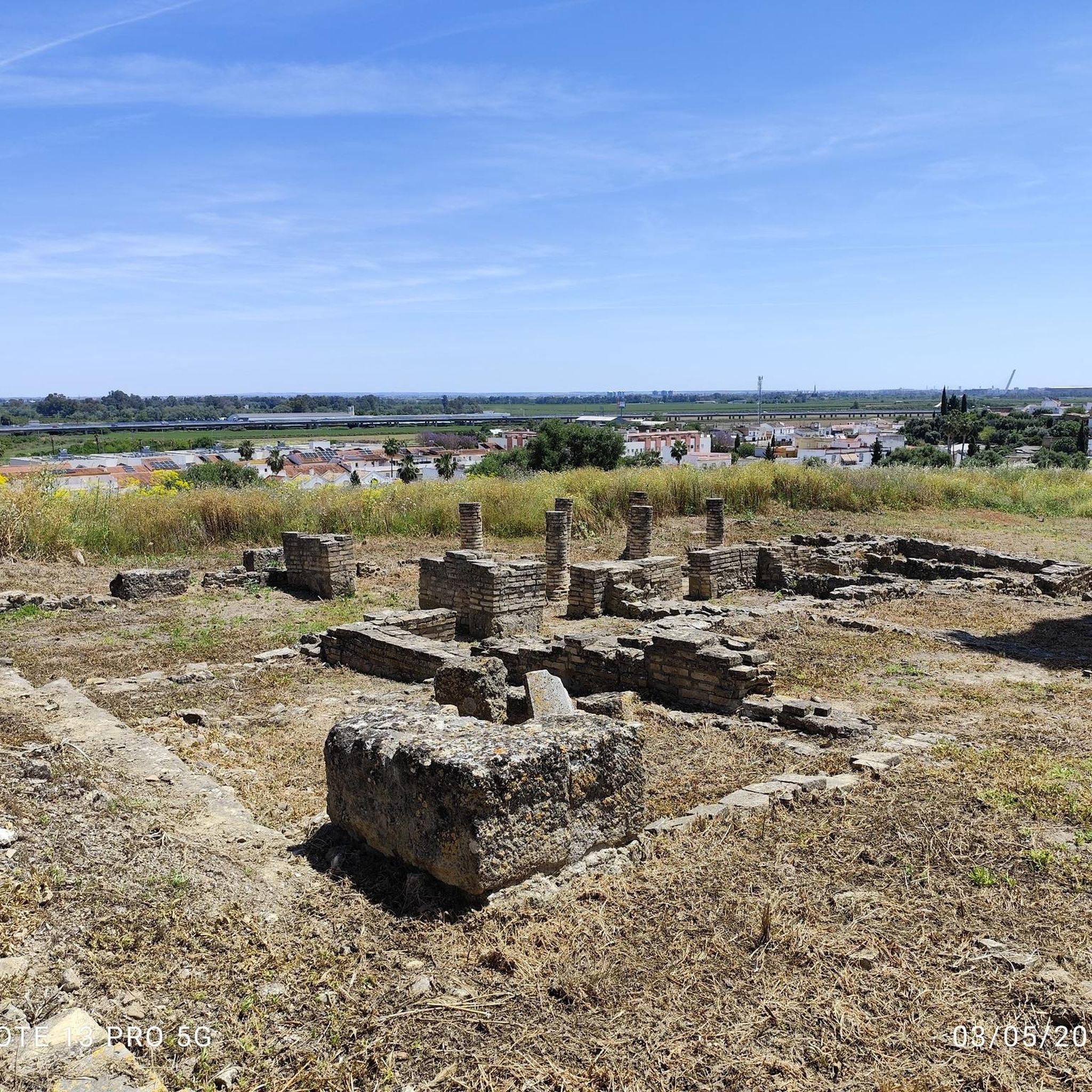
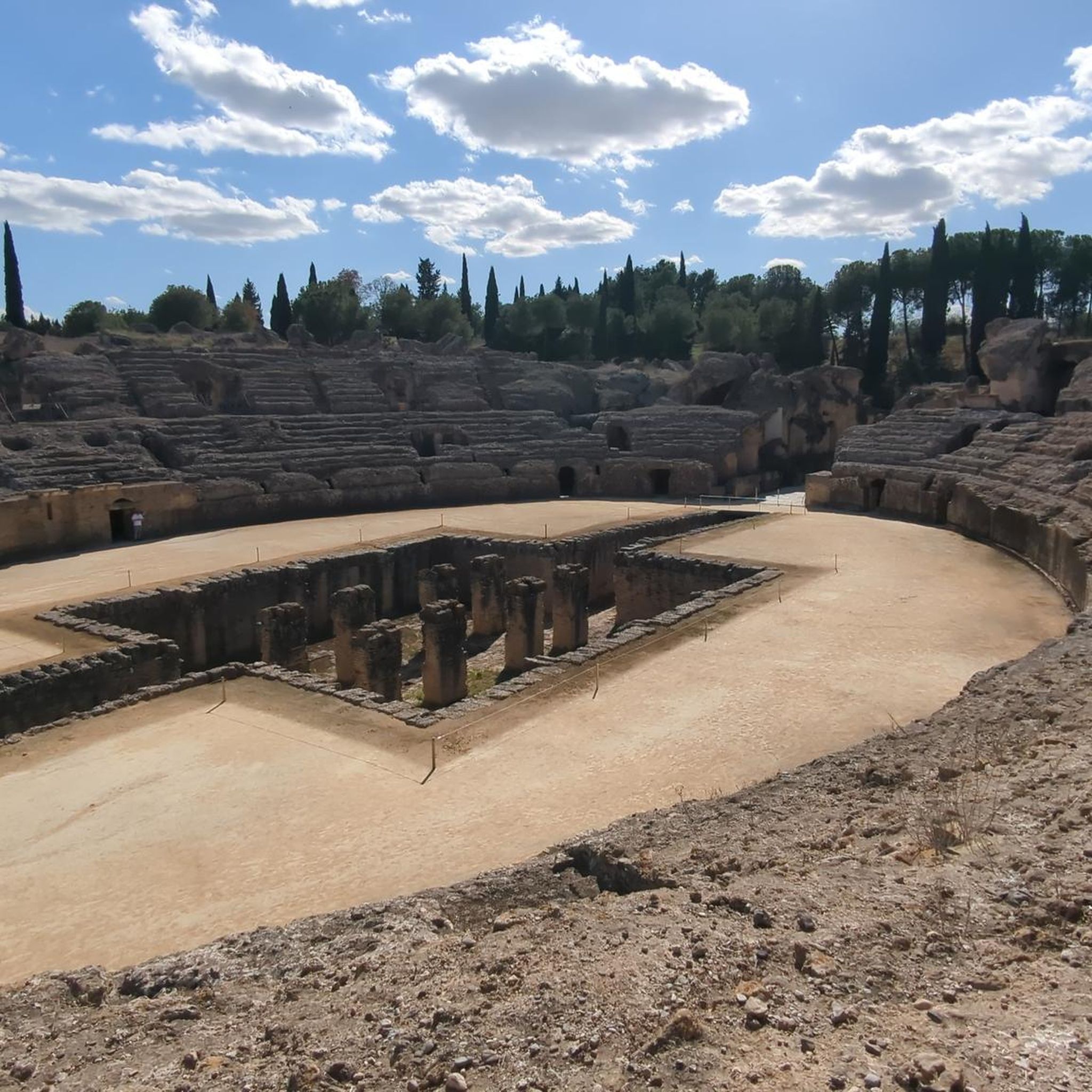
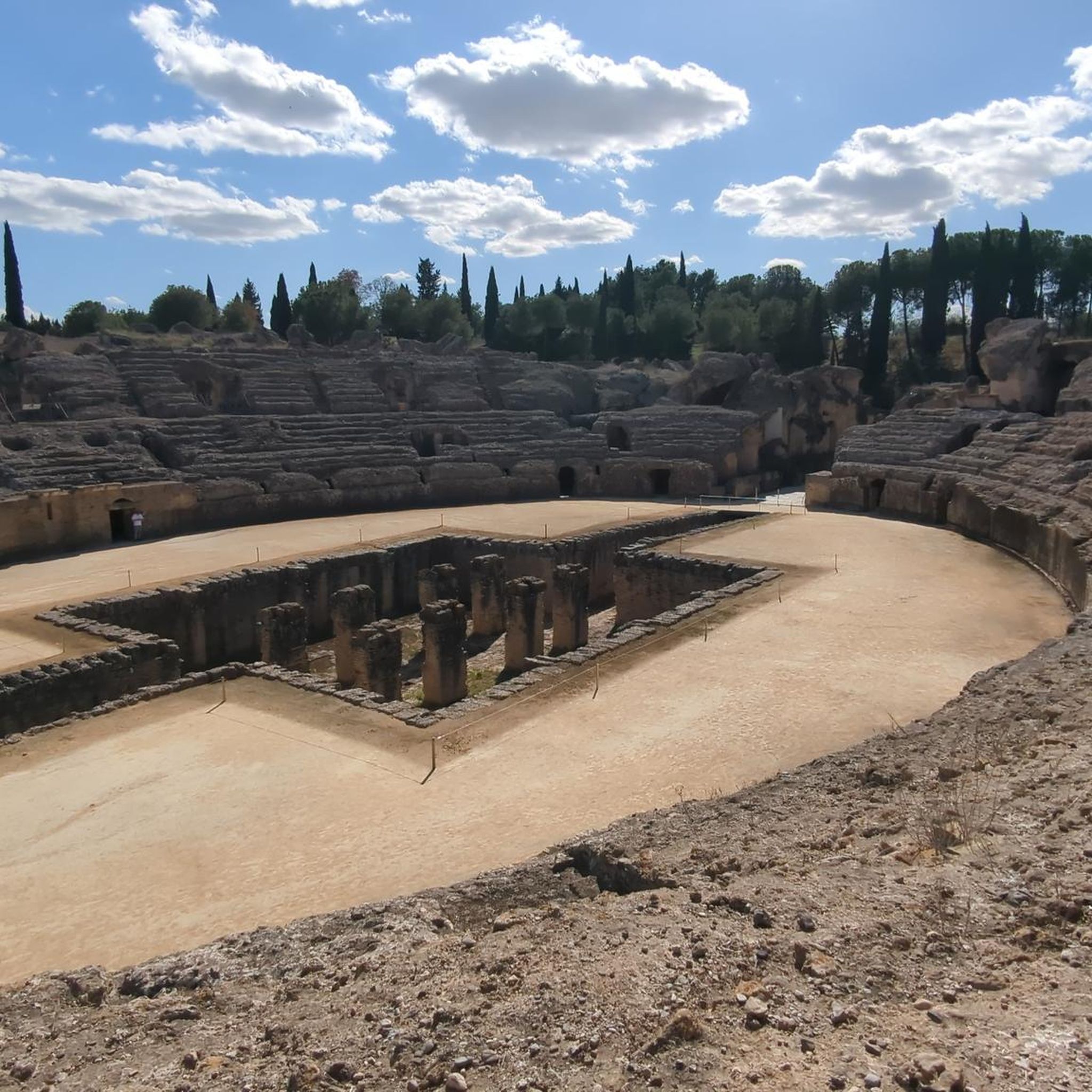
Santiponce is rich in history, and many routes allow you to combine cycling with cultural exploration. The region is famous for the ancient Roman city of Itálica, birthplace of emperors Trajan and Hadrian, featuring an impressive amphitheater and mosaics. You can also find the Gothic-Mudejar Monastery of San Isidoro del Campo. While cycling, you might pass by attractions like the Seville Cathedral, Plaza of Spain, or the Tower of Gold, depending on your chosen route.
Are there any loop road cycling routes around Santiponce?
Yes, many road cycling routes around Santiponce are designed as loops, offering convenient starting and ending points. A popular moderate loop is the Las Pajanosas – Triana Bridge loop from Cartuja, which is 59.2 km long and offers views of the Triana Bridge. Another option is the Triana Bridge – Barqueta Bridge loop from Cartuja, covering 73.9 km.
What do other road cyclists enjoy most about road cycling in Santiponce?
The road cycling experience in Santiponce is highly rated by the komoot community, with an average score of 4.2 stars from over 140 reviews. Cyclists often praise the blend of historical sites with natural scenery, the varied terrain from flat agricultural fields to rolling hills, and the well-maintained paved surfaces. The opportunity to cycle alongside the Guadalquivir River and explore ancient ruins like Itálica is frequently highlighted.
What natural features can I expect to see on road cycling routes near Santiponce?
Beyond the historical sites, road cycling routes in Santiponce showcase beautiful natural features. You'll frequently pass through extensive fields of cereal crops, olive groves, and fruit orchards. Many paths run alongside the Guadalquivir River, offering pleasant riverside views. The Itálica Greenway, following an old railway line, also provides a glimpse into recovered natural landscapes, including those of the Guadiamar.
Is Santiponce suitable for family-friendly road cycling?
Yes, Santiponce offers routes that can be enjoyed by families, particularly the easier options with minimal elevation gain. The region's quiet secondary roads and scenic agricultural landscapes provide a pleasant environment for a family ride. Look for routes categorized as 'easy' to ensure they are suitable for all family members.
What is the best time of year to go road cycling in Santiponce?
The best time for road cycling in Santiponce is generally during the spring (March to May) and autumn (September to November) months. During these periods, the weather is typically mild and pleasant, making for comfortable rides. Summers can be very hot, and while winters are generally mild, occasional rain might occur.
Are there any specific viewpoints or scenic spots along the road cycling routes?
Many routes offer scenic viewpoints, especially those that traverse the rolling terrain or follow the Guadalquivir River. For example, the Aznalcóllar Mine – View of the Agrio Reservoir loop from Valencina-Santiponce provides views of the Agrio Reservoir. Additionally, routes passing through the agricultural plains offer expansive vistas of olive groves and cereal fields, particularly beautiful during sunrise or sunset.
Most popular attractions around Santiponce

Get inspired with the komoot mobile app


Explore more
Browse the best Road cycling routes in other regions.
