The best walks and hikes around Hinojosa De Duero
4.2
(42)
222
hikers
19
hikes
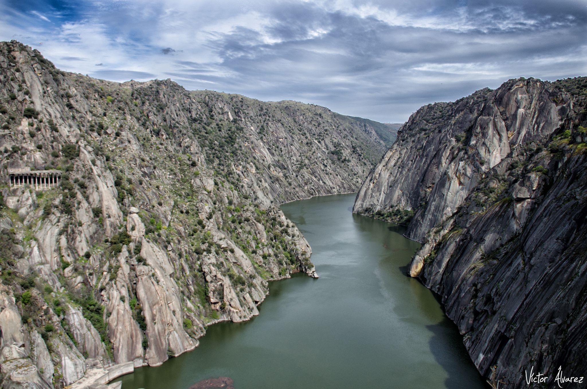
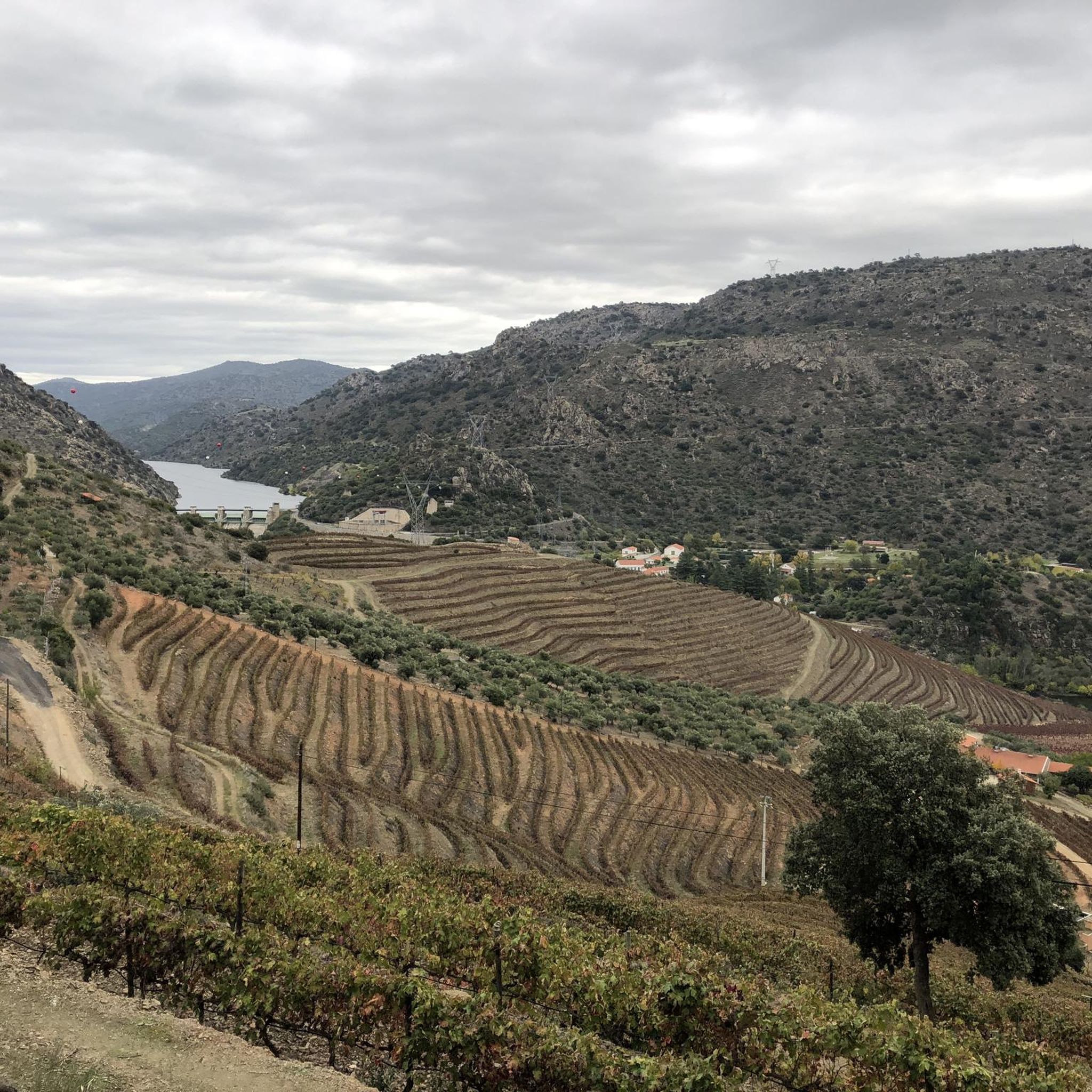
Hiking around Hinojosa De Duero offers access to the Arribes del Duero Natural Park, a region defined by the deep canyons and gorges carved by the Duero River and its tributaries. This landscape features rugged topography, providing varied terrain for exploration. Hikers can experience dramatic river views and diverse ecosystems within this protected natural area.
Best hiking trails in Hinojosa De Duero
- The most popular hiking route is Vale da Ribeira do Mosteiro (PR 1) — Parque Natural do Douro…
Last updated: July 7, 2026
4.9
(20)
54
hikers
Moderate hike. Good fitness required. Easily-accessible paths. Suitable for all skill levels.
3.0
(1)
3
hikers
6.66km
01:48
90m
90m
Hike the easy Peña de la Vela Trail in Arribes del Duero Natural Park for panoramic views of the Duero River and historical remnants.

Sign up for free
4.0
(1)
3
hikers
11.6km
03:21
300m
300m
Moderate hike. Good fitness required. Easily-accessible paths. Suitable for all skill levels.
2.0
(1)
2
hikers
20.3km
05:48
470m
470m
Hike the difficult GR 14 Stage 42: La Fregeneda to Vega Terrón Trail, a 12.6-mile route along the historic Iron Path.
14.7km
03:50
100m
100m
Hike the moderate 9.1-mile Las Merchanas - El Colmenar Circular Trail in Arribes del Duero Natural Park, exploring ancient history.
Get access to more routes and recommendations from other explorers.
Sign up for free
Already have an account?
Our route recommendations are based on thousands of hikes, rides, and runs completed by other people on komoot.
Start today with a free account
Your next adventure awaits.
Login or Signup

Other adventures around Hinojosa De Duero

Tips from the Community

The Ponte de Santa bridge stretches over the Ribeira do Mosteiro. Beneath it, amidst the whispering water and the gentle warmth of the sun, you can rest on one of the large stone slabs that are spread out there, as if they were made to welcome travelers in need of rest. The scenery around you is pure enchantment: the schist slopes are torn apart by impressive quartzite outcrops that burst from the earth, erected in almost sculptural forms, a geological spectacle that is as intriguing as it is beautiful.
2
0
The Calçada de Alpajares winds through the landscape as a testament to times gone by: a medieval path, perhaps forged during the era of the first dynasty. For centuries, it was a very important route, especially until the beginning of the 20th century, before the Estado Novo roads redesigned the country's routes. This ancient route linked the north, the lands of Miranda, to the south, the Ribacôa region. Its original course approached the Douro River, descending to Freixo de Espada à Cinta, before heading along the slopes of the Poiares mountain range towards the village that shares the same name.
2
0
This place holds ancient memories, with remains dating back to the Bronze Age, with fragments of pottery that reveal human presence since ancient times. But the story did not end there: occupation extended into the Iron Age and continued during Roman rule. The ancient defensive walls of Castro de São Paulo, now almost gone, were worn down by time or transformed into terraces by the hands of farmers who, over the centuries, shaped the landscape to suit their needs.
3
0

Very interesting when cruise ships dock. There's also a restaurant and an information center for children. The ticket office for the Camino del Hierro is also located there.
2
0

On the winding road that goes down from Saucelle to Salto de Saucelle, and before reaching another of the viewpoints of the Arribes del Duero Natural Park, the Salto de Saucelle Viewpoint, is the Picón del Moro Viewpoint, which is also It can be accessed through the Camino de la Dehesa Boyal hiking trail.
5
0
On the winding road that goes down from Saucelle to Salto de Saucelle, in a flat area, there is another of the viewpoints of the municipality, the Mirador del Salto de Saucelle, a viewpoint that belongs to the “Paisajes de Las Arribes” network. Ruta de los Miradores”, created by the Tourist Revitalization Plan for the South Zone of Las Arribes, plus the collaboration of the Arribes del Duero Natural Park and various town halls in the area.
5
0

The Picón del Moro viewpoint consists of a platform on the outgoing Picón rock. It offers wonderful views of the meanders of the Duero River.
3
0
The sites dating back to pre-Roman times up to the most recent ones related to the culture of the castros and boars are known as Vetón territory. It has been studied that the occupation of these territories dates back to the Iron Age 500 years ago and even much earlier up to the 5th century in the case of this particular site of Las Merchanas. In the golden age of these territories, these settlements were mainly populated by shepherds and warriors who, according to various Roman writers, were known as "vetones".
1
0
Frequently Asked Questions
How many hiking trails are available around Hinojosa de Duero?
There are over 20 hiking trails in the Hinojosa de Duero area, offering a variety of experiences within the Arribes del Duero Natural Park. These routes range from easy strolls to more challenging treks, catering to different fitness levels.
What kind of terrain can I expect on hikes in Hinojosa de Duero?
The terrain around Hinojosa de Duero is characterized by the dramatic river landscapes of the Arribes del Duero Natural Park. You'll encounter deep canyons and gorges carved by the Duero River and its tributaries, leading to rugged and varied paths. Expect some elevation changes and stunning views over the river valleys.
Are there any easy hiking trails suitable for beginners in Hinojosa de Duero?
Yes, there are several easy trails. For instance, the Peña de la Vela Trail is an easy 4.1-mile path that offers pleasant views over the Duero River and the surrounding natural park without significant difficulty.
Are there any circular hiking routes in the Hinojosa de Duero area?
Yes, you can find circular routes. An example is the Las Merchanas - El Colmenar Circular Trail, which provides a moderate 9.1-mile loop through the landscape.
What are the best viewpoints to visit while hiking in Hinojosa de Duero?
The region is rich in panoramic viewpoints, known as 'miradores,' offering breathtaking overlooks of the river valleys and the cross-border landscape with Portugal. Notable ones include Mirador del Contrabando, Mirador de la Peña, Mirador de los Pajeros, and Mirador del Salto de Saucelle. You can explore routes like Mirador de Saucelle – Natural Park of the Arribes del Duero to reach some of these stunning spots.
Are there any waterfalls to see on hikes near Hinojosa de Duero?
Yes, the area features the notable Cachón de Camaces waterfall, which is particularly spectacular during winter and spring. You can often find magnificent panoramic views of it from viewpoints along the road between Hinojosa and Saucelle, or explore local trails that lead to it.
What historical or cultural landmarks can I discover along the trails?
Beyond natural beauty, hikers can encounter rich historical and cultural heritage. You might find the medieval Puente de la Molinera, a Roman bridge over the Huebra River, or remains of Roman and medieval fountains. The Vetón Hillfort of Lumbrales (Las Merchanas) is another significant historical site you can visit. For more details, see the Vetón Hillfort of Lumbrales (Las Merchanas) highlight.
What do other hikers enjoy most about hiking in Hinojosa de Duero?
The area is highly rated by the komoot community, with an average score of 4.2 stars from over 40 reviews. Hikers often praise the dramatic river canyons, the diverse ecosystems, and the stunning panoramic viewpoints that define the region's trails.
Are there any long-distance trails that pass through Hinojosa de Duero?
Yes, Hinojosa de Duero is part of the extensive Senda del Duero (GR-14), a long-distance path that follows the Duero River. This route allows hikers to experience the natural landscapes, heritage, and local traditions. An example is the GR 14 Stage 42: La Fregeneda to Vega Terrón Trail.
What are some interesting natural features or attractions near Hinojosa de Duero?
The region is within the Arribes del Duero Natural Park, known for its impressive river gorges and canyons. You can also explore highlights like the Castro de São Paulo, an ancient historical site, or the Ponte de Santa over the Ribeira do Mosteiro, a picturesque bridge.
Is there a good time of year to visit Hinojosa de Duero for hiking?
The Arribes del Duero Natural Park offers beautiful scenery year-round. Spring and autumn generally provide pleasant temperatures for hiking, with lush landscapes in spring and vibrant colors in autumn. Winter can be a good time to see the Cachón de Camaces waterfall at its most powerful, while summer can be warm, making early morning or late afternoon hikes preferable.
Most popular attractions around Hinojosa De Duero

Get inspired with the komoot mobile app


Explore more
Browse the best Hikes in other regions.
