The best road cycling routes around Bösel
4.4
(142)
1,706
riders
173
rides
Road cycling routes around Bösel are characterized by a generally flat topography, making the region accessible for various fitness levels. An extensive cycling network, integrated into the broader Oldenburger Münsterland, features well-developed and signposted paths. Cyclists can experience diverse landscapes, including geest and moor areas, with many routes utilizing quiet roads and paved surfaces. The Thülsfelder Reservoir also offers well-developed cycling paths with views of the water and nature reserve.
Best road cycling routes around Bösel
- The most popular road…
Last updated: July 12, 2026
17
riders
Moderate road ride. Good fitness required. Mostly well-paved surfaces and easy to ride.
3.0
(1)
10
riders
Moderate road ride. Good fitness required. Mostly well-paved surfaces and easy to ride.

Sign up for free
5.0
(1)
10
riders
25.5km
01:00
40m
40m
Easy road ride. Great for any fitness level. Mostly well-paved surfaces and easy to ride.
7
riders
Easy road ride. Great for any fitness level. Mostly well-paved surfaces and easy to ride.
6
riders
Easy road ride. Great for any fitness level. Mostly well-paved surfaces and easy to ride.
Get access to more routes and recommendations from other explorers.
Sign up for free
Already have an account?
Our route recommendations are based on thousands of hikes, rides, and runs completed by other people on komoot.
Start today with a free account
Your next adventure awaits.
Login or Signup

Other adventures around Bösel

Tips from the Community

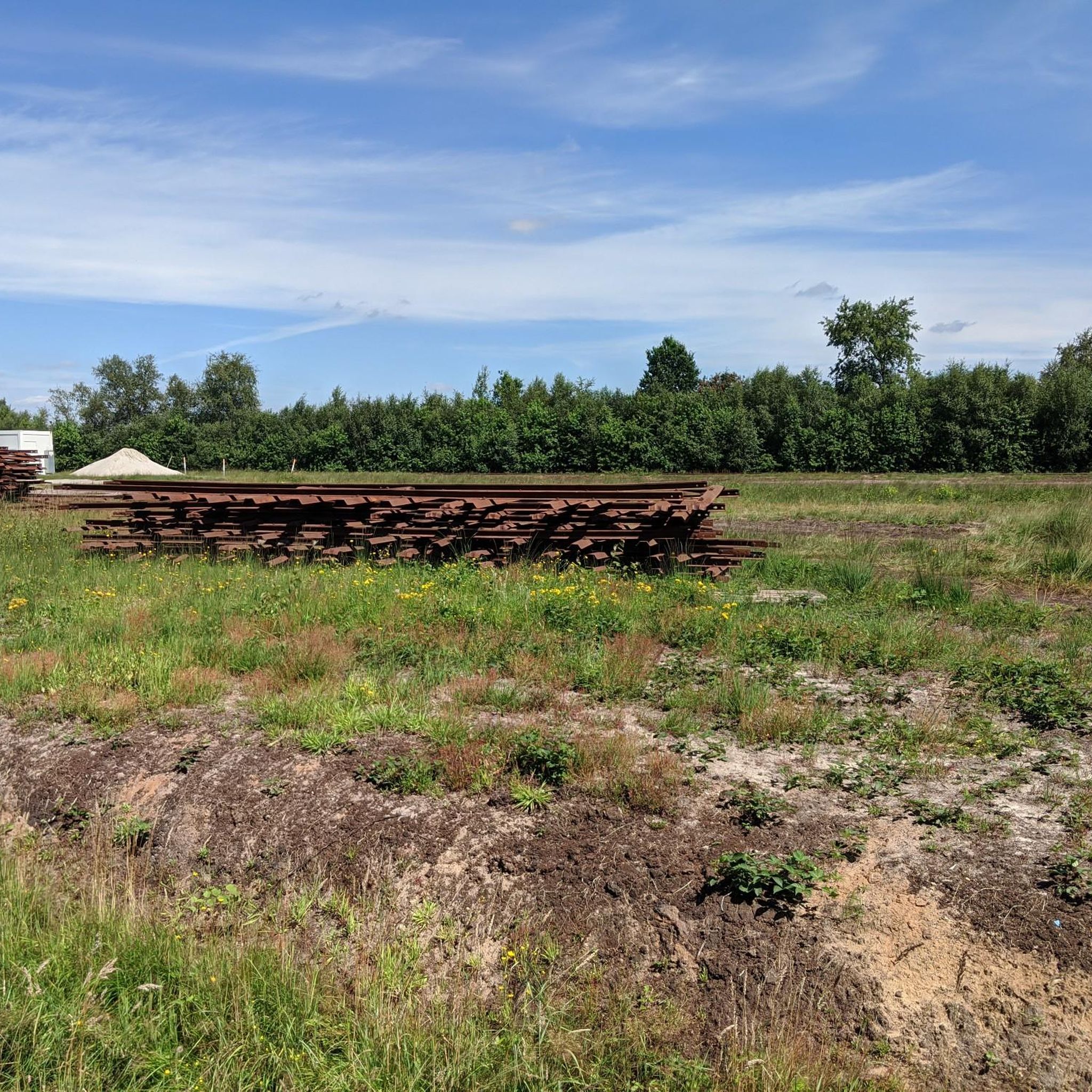
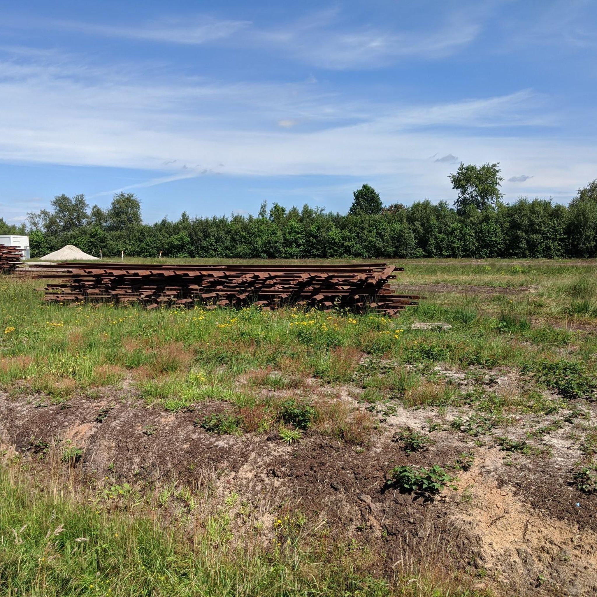
The buffer stop of the former narrow-gauge railway is a monument and a popular attraction along the narrow-gauge railway hiking trail near Edewechterdamm.
1
0
The field railway operation and the industrial peat extraction of Klasmann-Deilmann at the Vehnemoor plant ended at the beginning of 2025.
1
0
Former railway lines or embankments in the moor often serve as cycle and hiking trails. Therefore, there are still cycle tours that bear the name "Peat Railway in the Vehnemoor".
1
0

With a scale, they weighed things🫣😁😎 The peat railways, also known as field railways, used special wagons designed for transporting peat. These wagons were often long and had a large wheelbase to ensure a high load-bearing capacity. The car bodies could be removable and were lifted from the chassis using chain lugs and then transferred, for example, with a crane. Double-flanged wheels were common because the tracks in the bog often couldn't be laid securely, and the wheels were designed to prevent derailment.
6
0

The worth seeing St. Cecilia Church with the beautiful fountain, a great eye-catcher
1
0

Beautiful, well-kept, quiet rest area
1
0

Frequently Asked Questions
What makes Bösel an ideal destination for road cycling?
Bösel, located in the Oldenburger Münsterland, offers an extensive cycling network with over 2,200 kilometers of paths across the broader region, including 116 routes directly accessible from town. The terrain is generally flat, making it suitable for all fitness levels, and features well-maintained, signposted paths. You'll experience diverse landscapes, from geest (sandy heathland) to moor areas, often on quiet roads away from traffic.
How many road cycling routes are available around Bösel?
There are over 170 road cycling routes available around Bösel, catering to various preferences. These include 81 easy routes and 91 moderate routes, ensuring options for both casual riders and those seeking a bit more challenge.
Are there any easy road cycling routes for beginners or families?
Yes, Bösel's flat topography makes it excellent for easy rides. An example of an easy route is the St. Cecilia Catholic Church – Hohenberg Rest Area at Lahe loop from Bösel, which is about 40 km long and takes around 1 hour 39 minutes. Another easy option is the St. Cecilia Catholic Church loop from Sportplatz Hogenset, covering about 33.7 km.
What kind of landscapes can I expect to see on road cycling routes in Bösel?
The routes around Bösel offer a varied landscape, including both 'geest' (sandy, elevated heathland) and 'moor' (peatland) areas. You can also find routes that lead through natural areas, along canals, and past historic buildings. The Osterscheps Windmill – St. Marien Church Friesoythe loop from Bösel is a great example of a route that showcases these diverse landscapes.
Are there any circular road cycling routes in Bösel?
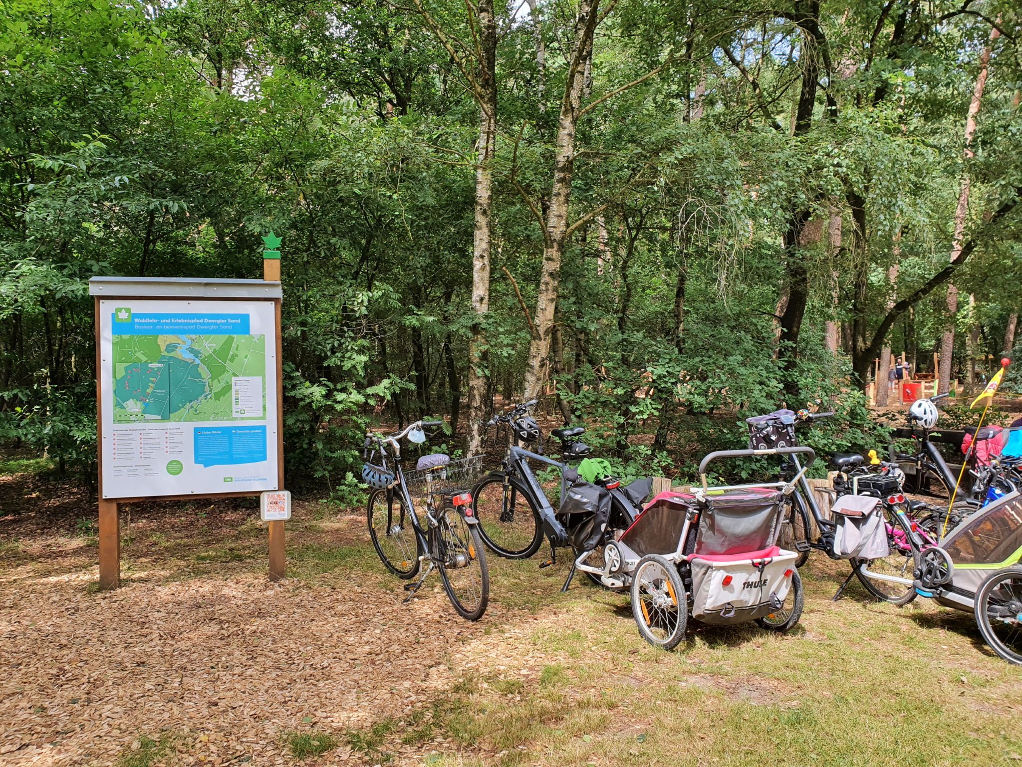
Many of the road cycling routes around Bösel are designed as loops, allowing you to start and end at the same point. For instance, the popular Avenue Route in Ammerland – Path Along the Canal loop from Sportplatz Hogenset is a 94 km circular route. Another option is the Waldersruth Forest Playground loop from ÖPNV Haltestelle Hahnenbergweg, which is a moderate 25.9 km loop.
What natural attractions or viewpoints can I find along the cycling routes?
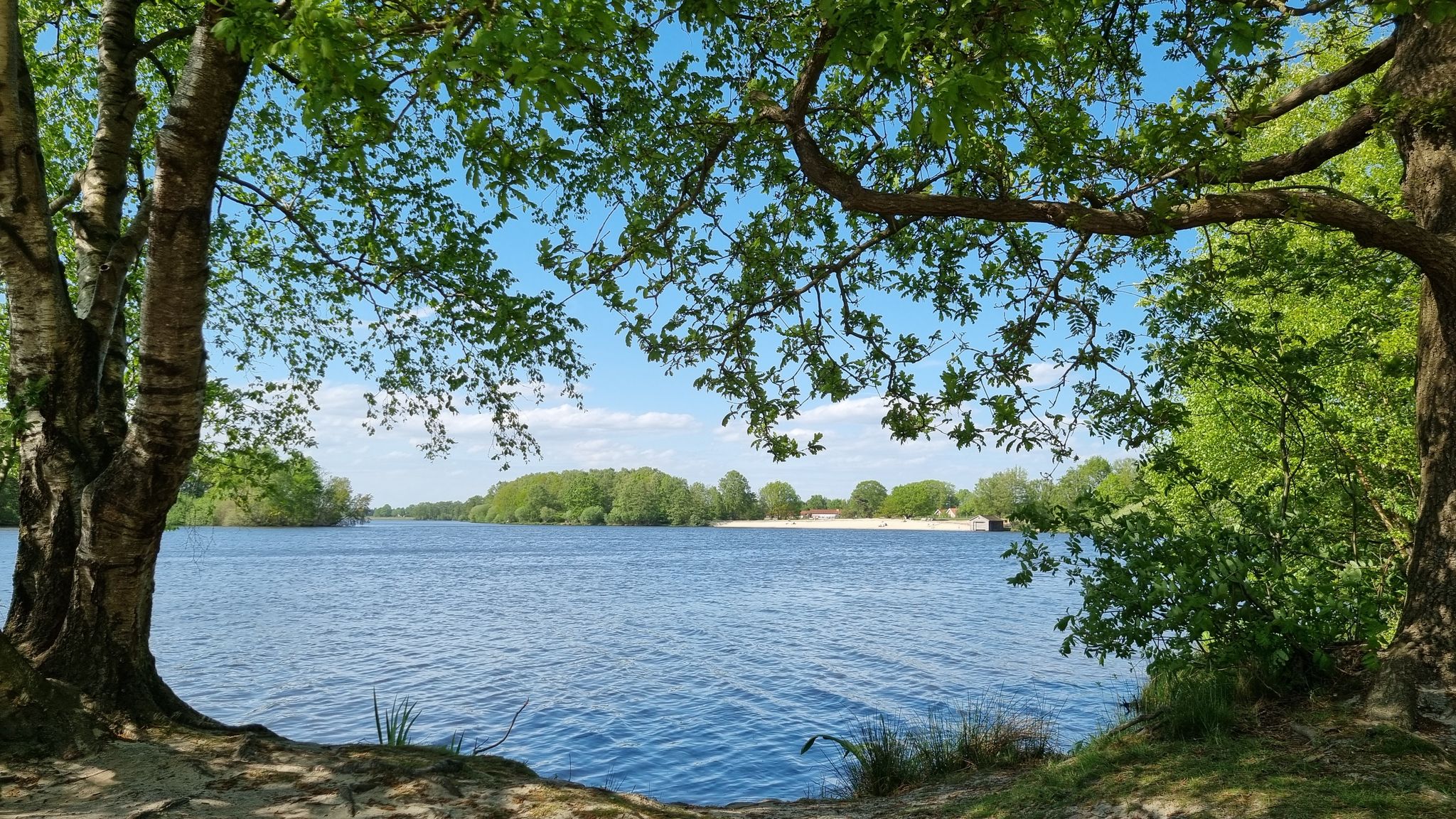
A significant natural attraction is the Thülsfelder Reservoir, which features well-developed cycling paths offering picturesque views of the water and surrounding nature reserve. You can explore highlights like the Beach at the Thülsfelder Reservoir, the Thülsfelder Reservoir North Shore and Spillway, and the Thülsfeld Dam – Three Bridges Trail. The region also includes moor paths, particularly near Petersfehn, offering unique views of peat harvesting fields.
What is the best time of year for road cycling in Bösel?
The generally flat terrain of Bösel makes it enjoyable for road cycling throughout much of the year, especially from spring to autumn. The well-maintained paths and diverse landscapes are particularly pleasant during milder weather, allowing you to fully appreciate the natural beauty and extensive cycling network.
What do other cyclists say about road cycling in Bösel?
The road cycling routes in Bösel are highly rated by the komoot community, with an average score of 4.3 stars from over 100 reviews. Cyclists often praise the region's flat topography, the extensive and well-signposted cycling network, and the varied landscapes that include both geest and moor areas, providing a pleasant and accessible riding experience.
Is there public transport access to the cycling routes in Bösel?
Bösel is integrated into a broader regional network, and while specific public transport options directly to trailheads may vary, the 'Knotenpunktsystem' (junction point system) simplifies route planning and access across the Oldenburger Münsterland. It's advisable to check local public transport schedules for connections to Bösel and surrounding areas.
Are there any routes that connect historic buildings or places?
Yes, some routes are designed to connect historic buildings and places. For example, the Avenue Route in Ammerland – Path Along the Canal loop from Sportplatz Hogenset is known for connecting historic sites, often leading through natural areas away from busy roads, offering a blend of cultural and natural exploration.
What is the typical elevation gain on road cycling routes in Bösel?
Due to Bösel's generally flat topography, elevation gains on road cycling routes are minimal. Most routes feature very gentle inclines and declines, making them accessible and enjoyable without strenuous climbs. For instance, a 40 km route like the St. Cecilia Catholic Church – Hohenberg Rest Area at Lahe loop from Bösel has an elevation gain of only about 46 meters.
Most popular attractions around Bösel

Get inspired with the komoot mobile app


Explore more
Browse the best Road cycling routes in other regions.
