The best cycling routes around Villar Del Pedroso
5.0
(2)
191
riders
20
rides
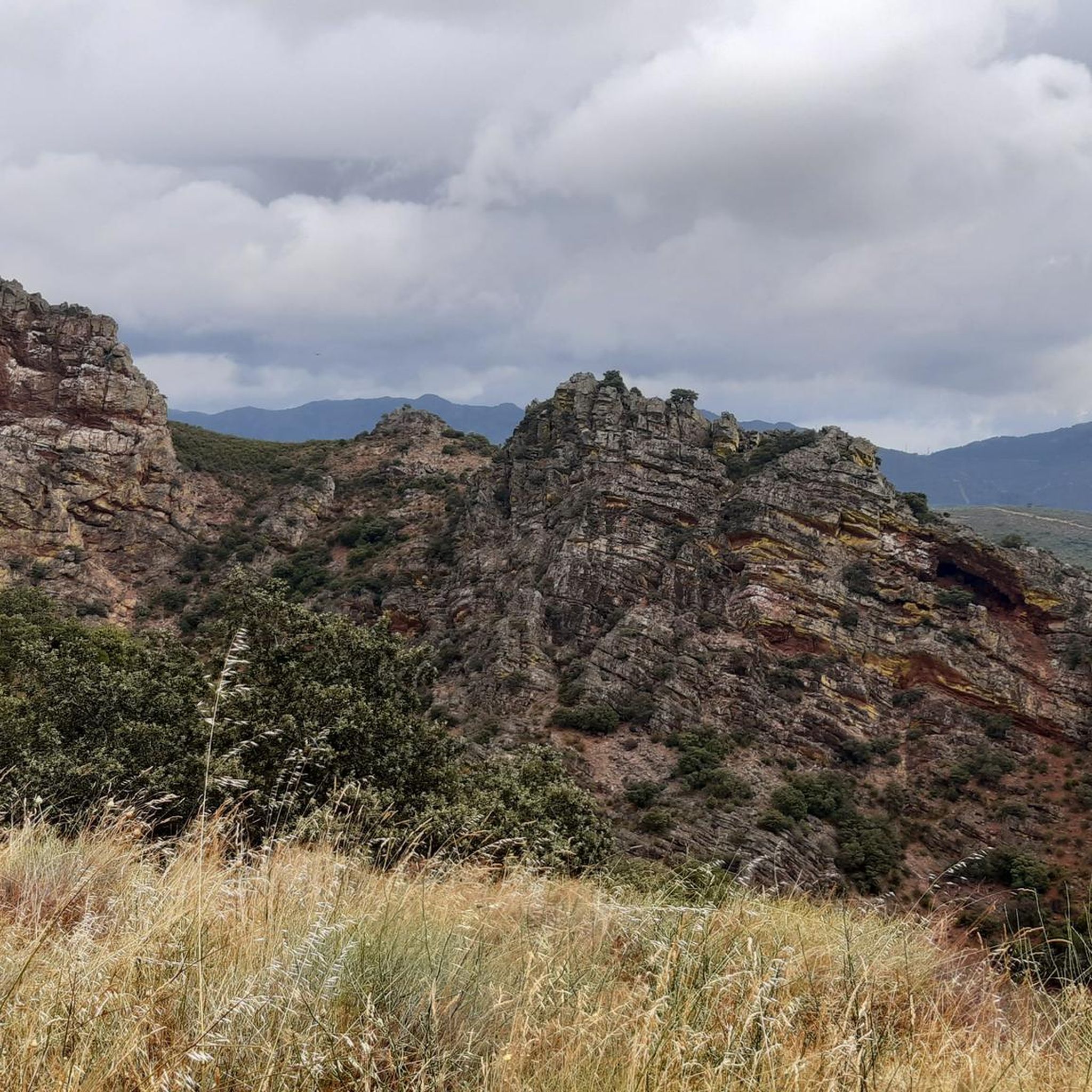
Touring cycling around Villar Del Pedroso offers routes through a landscape characterized by the Villuercas-Ibores-Jara Geopark, featuring rugged mountains, deep valleys, and dense Mediterranean forests. The terrain includes significant elevation changes, with routes often traversing mountain passes and offering expansive viewpoints. This region provides a challenging environment for touring cyclists, with many trails winding through remote, natural areas defined by granitic rocks and "berrocal" formations.
Best touring cycling routes around Villar Del Pedroso
- The most popular touring cycling route is…
Last updated: July 2, 2026
1
riders
Hard bike ride. Very good fitness required. You may need to push your bike for some segments of this route.
114
riders
Hard bike ride. Very good fitness required. Mostly paved surfaces. Suitable for all skill levels.

Sign up for free
17
riders
57.6km
04:22
1,400m
1,400m
Hard bike ride. Very good fitness required. Mostly paved surfaces. Suitable for all skill levels.
11
riders
98.2km
07:26
1,920m
1,920m
Hard bike ride. Very good fitness required. You may need to push your bike for some segments of this route.
7
riders
50.2km
03:27
940m
940m
Hard bike ride. Very good fitness required. Mostly paved surfaces. Suitable for all skill levels.
Get access to more routes and recommendations from other explorers.
Sign up for free
Already have an account?
Our route recommendations are based on thousands of hikes, rides, and runs completed by other people on komoot.
Start today with a free account
Your next adventure awaits.
Login or Signup


Tips from the Community

El Alto del Humilladero and Pico Villuercas, near Guadalupe (Cáceres), form one of the most spectacular mountain routes in Extremadura, within the Villuercas‑Ibores‑Jara UNESCO Geopark. It is the highest summit in Extremadura accessible by road.
2
0
During the twenties and thirties of the last century, a railway route was approved that was intended to connect Badajoz, Madrid, and Huelva, passing through Villanueva de la Serena and Talavera de la Reina. The rugged foothills of the Villuercas proved to be an insurmountable obstacle, leading to the project's abandonment three decades after its inception. As a reminder of that ill-fated project, today we are left with a grandiose viaduct at the gates of Guadalupe, crossing the broken valley of the Guadalupejo from end to end.
5
0

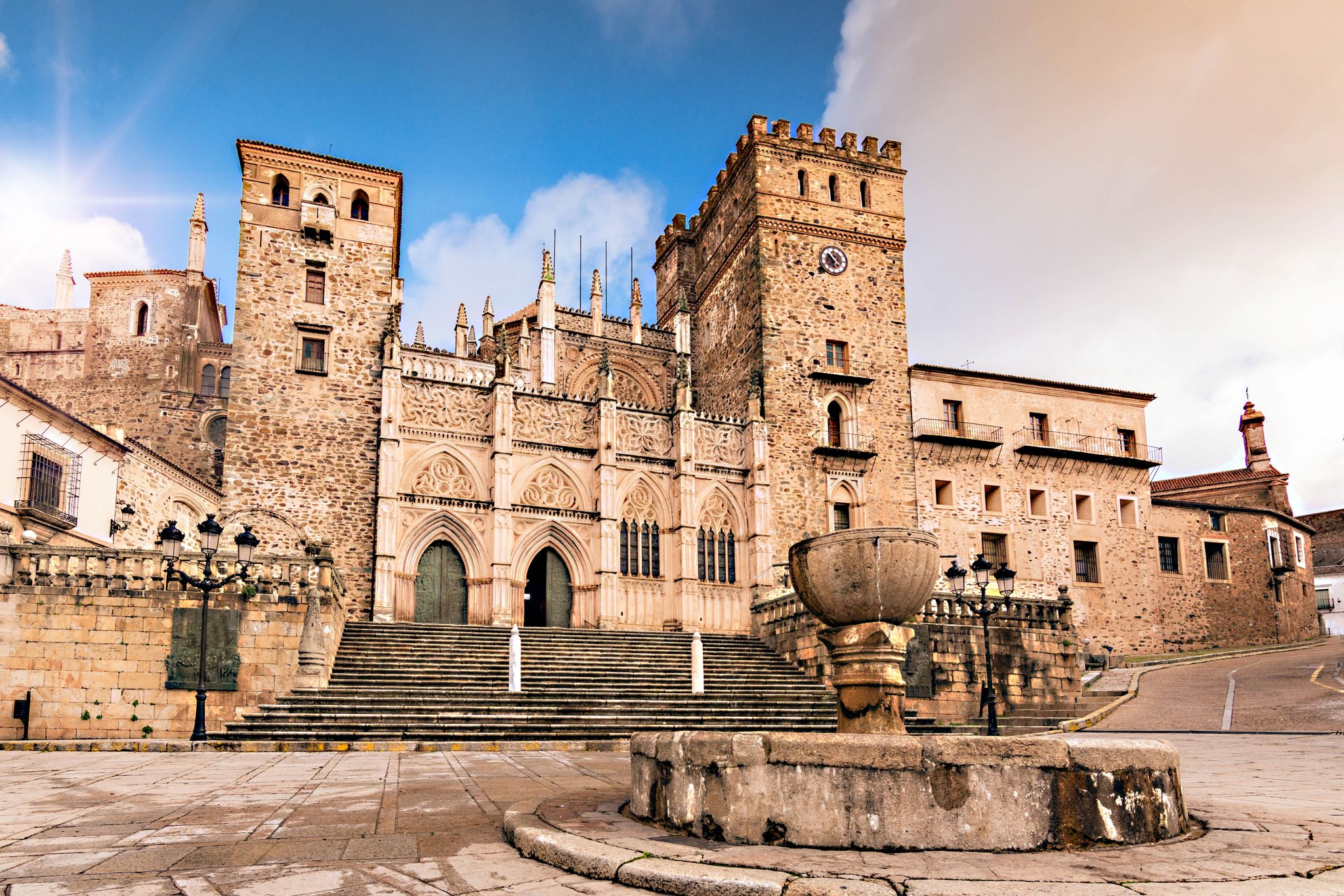
Viewpoint from a small square on the beautiful monastery.
12
1
Gives the feeling of being on a film set or somewhere in Mexico. Perhaps not so strange, because the Virgin of Guadalupe is the patroness of Mexico. In the hills, the virgin is said to have been found seven centuries ago. Strictly forbidden to take photos inside the walls, monks walk with the group...
14
1
Arco del Tinte, the Verfpoort, was part of the network of gates that separated the upper and lower town at various points. This gave the population control over security and trade and gave the city the appearance of a medieval fortress.
12
2
An impressive piece of civil engineering from the 20th century. With a length of 274 meters and a maximum height of 58 meters, the bridge stands out with its large arches. Originally, the bridge was intended for the railway line, but the project was halted and the bridge was never put into use.
11
1
The Royal Monastery of Santa María de Guadalupe is a 14th-century monastery located in the Spanish town of Guadalupe, in the province of Cáceres. It was declared a UNESCO World Heritage Site in 1993. Inside, you can appreciate Gothic, Mudéjar, Renaissance, Baroque, and Neoclassical architectural styles. A place with a rich history and breathtaking architectural beauty! 🌟🏰
15
0
It is located between the upper and lower parts of Puebla, within the network of the historic center, near other archways and the medieval quarter. Its name comes from its original function: providing access to the old dye works, belonging to one of the oldest guilds in Puebla. It formed part of the defensive system and controlled trade between the main neighborhoods, offering security and projecting the image of a medieval fortress.
9
0
Frequently Asked Questions
What is the general difficulty level of touring cycling routes around Villar Del Pedroso?
Touring cycling around Villar Del Pedroso is characterized by a challenging environment. The majority of routes, 14 out of 20, are classified as difficult, featuring significant elevation changes and mountain passes. There are 5 moderate routes and 1 easy route available for those seeking less strenuous options.
Are there any touring cycling routes suitable for beginners or families in Villar Del Pedroso?
While the region is known for its challenging terrain, there is one easy touring cycling route available. Most routes involve significant ascents and descents, making them more suitable for experienced cyclists. For a less demanding ride, look for routes with lower elevation gains.
What kind of terrain can I expect on touring cycling routes in Villar Del Pedroso?
The terrain around Villar Del Pedroso is diverse and challenging, primarily within the Villuercas-Ibores-Jara Geopark. You can expect rugged mountains, deep valleys, and dense Mediterranean forests. Routes often traverse mountain passes and offer expansive viewpoints, with significant elevation changes throughout.
What are some notable natural attractions I can see while touring cycling in the region?
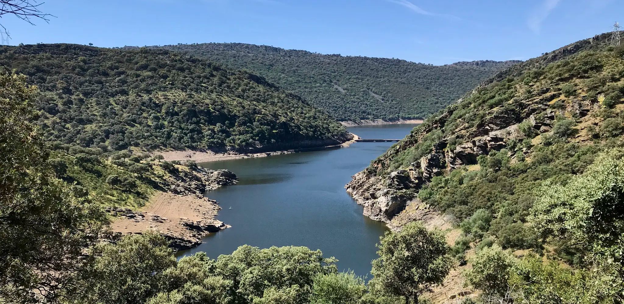
The area boasts several natural highlights. You can explore the La Chiquita Cave, or ascend to the Pico Villuercas Summit and Pico Agudo for panoramic views. The Cancho del Fresno Reservoir also offers scenic views along some routes.
Are there any historical or cultural landmarks to visit along the touring cycling routes?
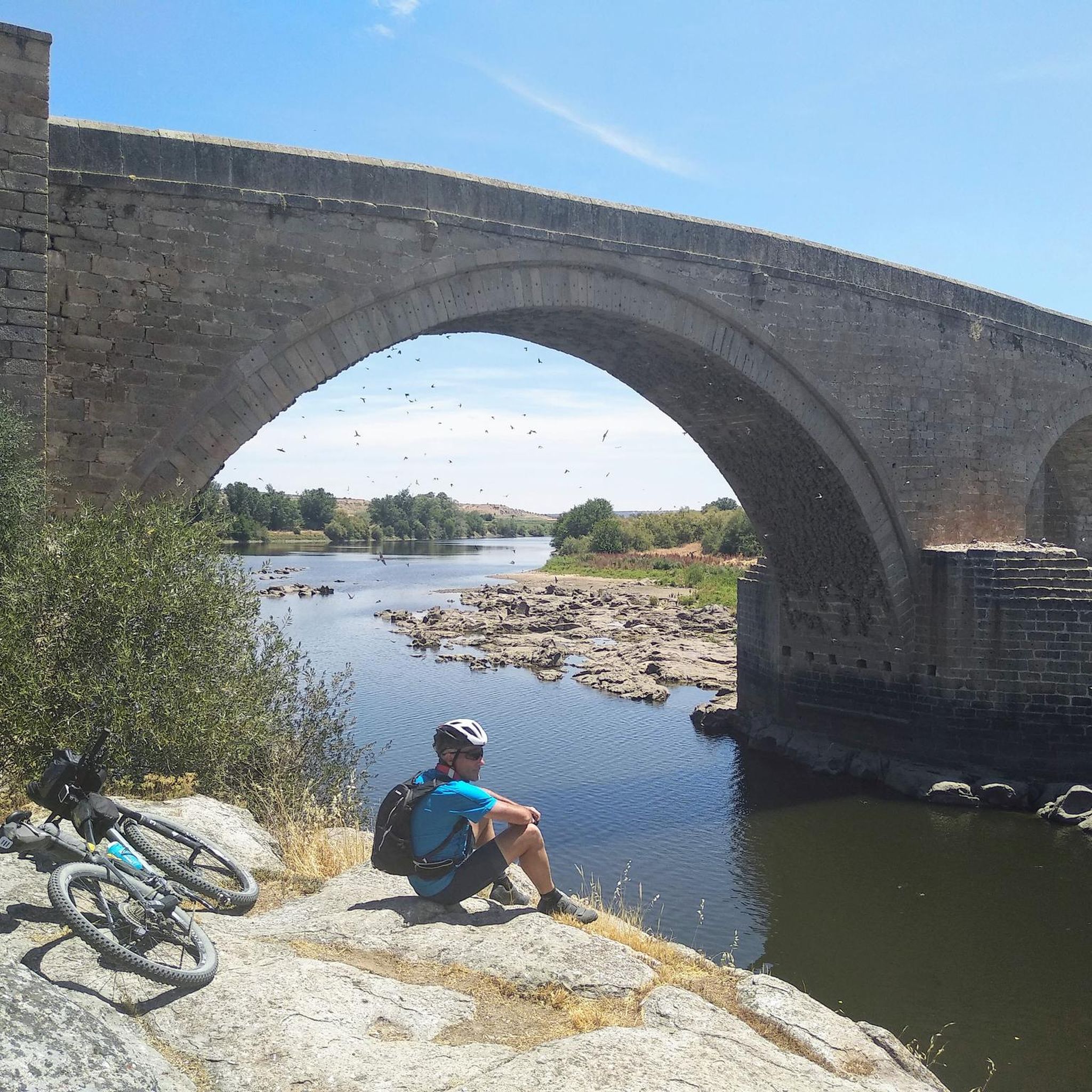
Yes, the region offers several interesting landmarks. You might encounter the impressive Royal Monastery of Santa María de Guadalupe, the historic Puente del Arzobispo, or the ancient Dolmen La Estrella. The Guadalupe Viaduct is another notable structure you might cross.
What do other touring cyclists enjoy most about touring cycling in Villar Del Pedroso?
The touring cycling routes in Villar Del Pedroso are highly rated by the komoot community, with an average score of 4.0 stars. Cyclists often praise the challenging nature of the trails, the extensive views of the mountainous landscape, and the opportunity to explore remote, natural areas within the Villuercas-Ibores-Jara Geopark.
Are there any long-distance touring cycling routes in Villar Del Pedroso?
Yes, several routes offer significant distances. For example, the Humilladero Pass – Arch of Seville loop from Cerro del Molino is over 82 km long, and the Guadalupe Viaduct – View of Guadalupe loop from Navezuelas covers nearly 64 km, both featuring substantial ascents.
Are there any circular touring cycling routes available?
Many of the touring cycling routes in Villar Del Pedroso are designed as loops, allowing you to start and finish at the same point. Examples include the popular Pico Villuercas Summit – Humilladero Pass loop from Ermita del Humilladero and the View of Guadalupe – Guadalupe Viaduct loop from Navalvillar de Ibor.
What is a good route for experienced touring cyclists looking for a challenge?
Experienced touring cyclists seeking a challenge might enjoy the Guadalupe Viaduct – View of Guadalupe loop from Navezuelas. This difficult 64.1 km path offers extensive views of the mountainous landscape and includes significant ascents, making it a demanding ride.
Are there any moderate touring cycling routes in the area?
Yes, there are 5 moderate routes available. One example is the Bike loop from La Estrella, which covers about 30.7 km with a more manageable elevation gain compared to the difficult routes.
What kind of wildlife can I expect to see while touring cycling in Villar Del Pedroso?
The region, part of the Villuercas-Ibores-Jara Geopark, is rich in biodiversity. While specific sightings are never guaranteed, the dense Mediterranean forests and remote natural areas provide habitats for various bird species, deer, and other local fauna. Keep an eye out, especially in quieter sections of the routes.
Is public transport accessible near the touring cycling routes?
Villar Del Pedroso and the surrounding areas are generally rural. While some villages may have limited bus services, direct public transport access to specific trailheads for touring cycling routes is not widely available. It is advisable to plan your journey with a private vehicle or consider starting your ride from a central village.
Most popular attractions around Villar Del Pedroso

Get inspired with the komoot mobile app


Explore more
Browse the best Cycling routes in other regions.
