The best running trails around Pereña De La Ribera
1.0
(1)
42
runners
9
runs
Jogging around Pereña De La Ribera offers routes through a landscape characterized by river valleys and elevated viewpoints. The terrain often features significant elevation changes, leading to challenging running experiences. This region is known for its natural features, including waterfalls and scenic overlooks, providing varied backdrops for running. The routes primarily consist of difficult trails, catering to experienced runners.
Best jogging routes around Pereña De La Ribera
- The most popular jogging route is Pozo de los Humos from Masueco Trail…
Last updated: June 24, 2026
1
runners
6.90km
00:57
250m
250m
Hard run. Good fitness required. Sure-footedness, sturdy shoes and alpine experience required.
1
runners
3.75km
00:26
90m
90m
Moderate run. Great for any fitness level. Mostly accessible paths. Some sure footedness required.

Sign up for free
6.69km
00:41
160m
160m
Hard run. Good fitness required. Sure-footedness, sturdy shoes and alpine experience required.
13
runners
8.87km
01:10
270m
270m
Hard run. Good fitness required. Sure-footedness, sturdy shoes and alpine experience required.
10
runners
Hard run. Very good fitness required. Sure-footedness, sturdy shoes and alpine experience required.
Get access to more routes and recommendations from other explorers.
Sign up for free
Already have an account?
Our route recommendations are based on thousands of hikes, rides, and runs completed by other people on komoot.
Start today with a free account
Your next adventure awaits.
Login or Signup
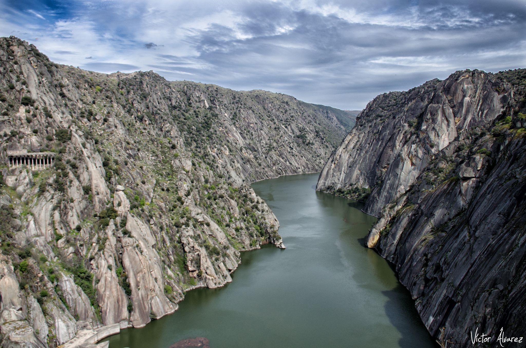
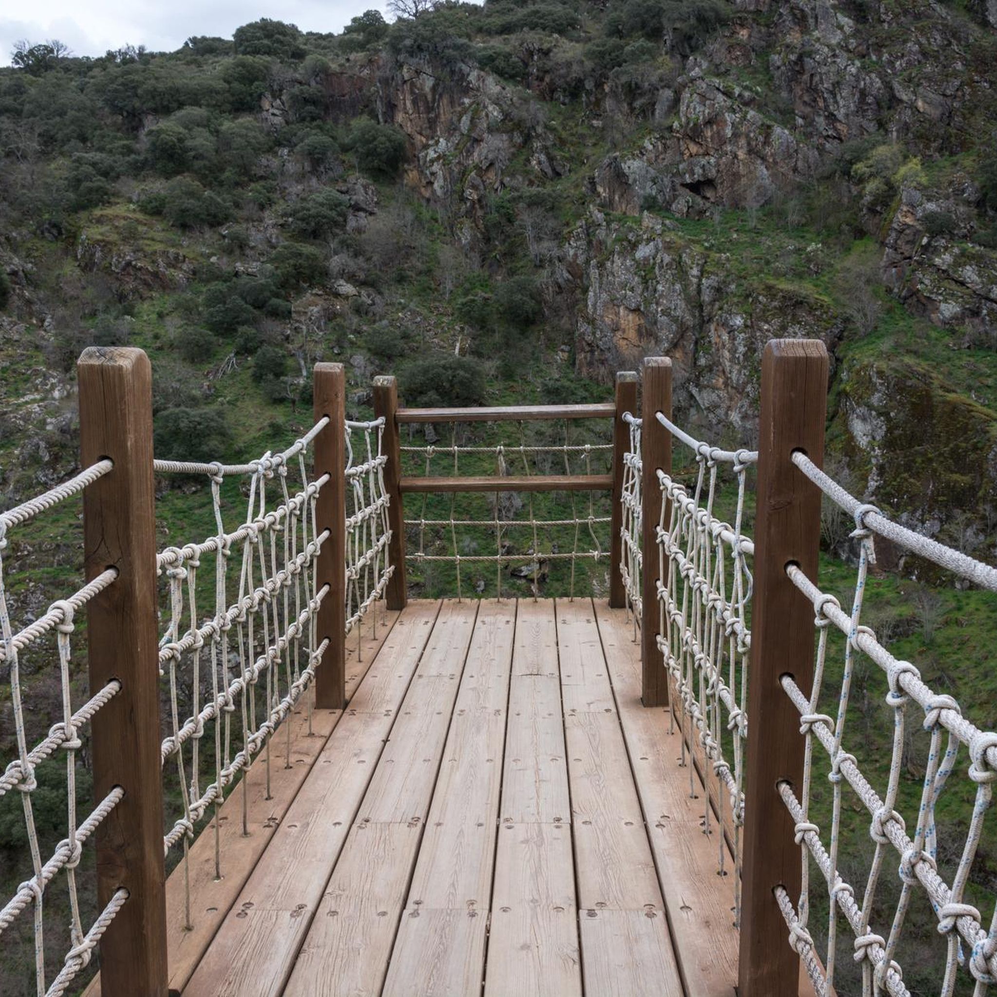
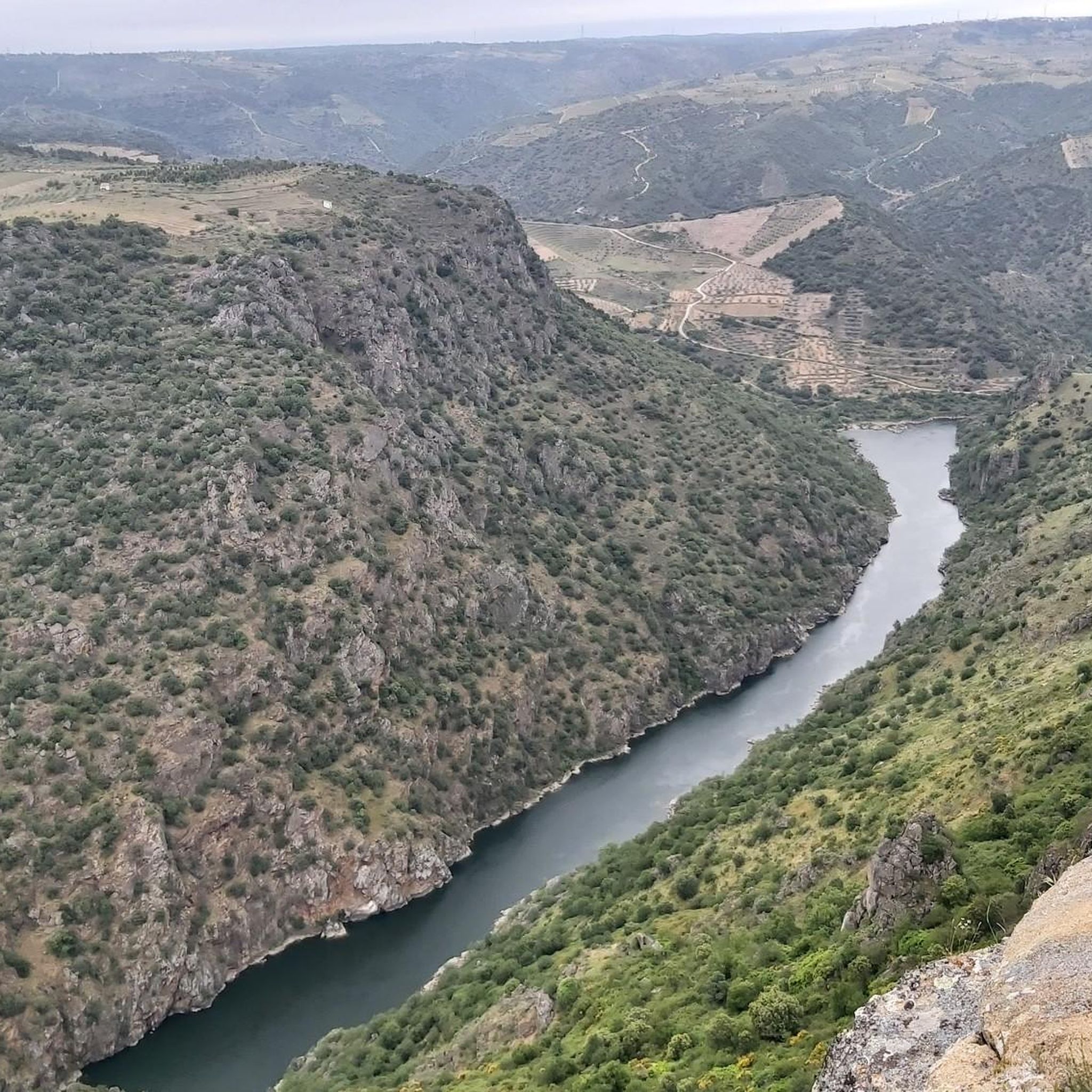


Other adventures around Pereña De La Ribera

Tips from the Community

The Mirador de Rupurupay is located in Aldeadávila de la Ribera, in the province of Salamanca, Castilla y León. This viewpoint offers stunning views of the Duero River and is an ideal starting point for exploring the Cascada del Remolino. The route to the viewpoint is quite accessible and takes approximately 3 hours and 40 minutes, with a distance of 9.4 km. It is a perfect excursion to enjoy nature and the characteristic landscape of the area, including the exploitation of olive and almond trees on terraces.
2
0
The Pozo de los Humos is an impressive waterfall located in the province of Salamanca, in the autonomous community of Castilla y León, Spain. This waterfall is located on the Uces River and is known for its spectacular waterfall of about 50 meters high, especially impressive during the rainy season. 😊
6
0
The Pozo de los Humos is an impressive waterfall located in the province of Salamanca, in the autonomous community of Castilla y León, Spain. This waterfall is located on the Uces River and is known for its spectacular waterfall of about 50 meters high, especially impressive during the rainy season. 😊
6
0

A great vantage point! The view of the Duero and Portugal on the opposite side is very impressive from this spot!
1
0
It is worth taking a look at the El pozo de los Humos waterfall. There are many different views and the area near the waterfall is very nicely designed for visitors. You can also take a circular walk from Masueco: towards the car park to the Pozo and then back to the village via a narrow hiking trail.
1
0

Beautiful town with very beautiful views of the Douro. Visit Rostro beach and take a boat ride on the river.
0
0
Visit when the Uces River has water. Autumn Winter.
1
0

The municipality of Aldeadávila de la Ribera, in the province of Salamanca, is one of the towns with the most tourist offers in the heart of the Arribes de Duero natural park.
1
0
Frequently Asked Questions
What kind of terrain can I expect on running routes around Pereña De La Ribera?
The running routes in Pereña De La Ribera are characterized by river valleys and elevated viewpoints. You can expect significant elevation changes, making for challenging running experiences. The terrain often includes natural features like waterfalls and scenic overlooks.
Are there any easy running trails for beginners in Pereña De La Ribera?
Pereña De La Ribera's running routes are primarily designed for experienced runners, featuring difficult trails. There is one moderate route, the Pozo de los Humos Trail, which is 3.7 km long and offers a direct approach to the waterfall with some elevation gain. However, there are no easy routes available.
What are the typical distances and durations for running routes in this area?
Running routes around Pereña De La Ribera vary in length. For example, the moderate Pozo de los Humos Trail is about 3.7 km and takes around 25 minutes. Longer, more challenging routes like the Pozo de los Humos from Masueco Trail cover about 6.9 km and can take over an hour, while the Rupurapay Viewpoint – Aldeadávila de la Ribera loop from Aldeadávila de la Ribera is a substantial 17.5 km, requiring several hours.
Are there any circular running routes in Pereña De La Ribera?
Yes, there are circular running routes available. An example is the Rupurapay Viewpoint loop from Aldeadávila de la Ribera, which is approximately 8.8 km long and offers a challenging experience with significant elevation changes.
What kind of views can I expect on the running trails?
The region is known for its panoramic viewpoints and scenic overlooks. Many routes lead to stunning vistas, such as the Rupurupay Viewpoint Trail, which takes you through varied terrain to a scenic overlook. You'll often encounter views of river valleys and dramatic landscapes.
What natural landmarks or attractions can I see along the running routes?
Many running routes in Pereña De La Ribera offer access to impressive natural landmarks. You can visit the famous Pozo de los Humos Waterfall, or enjoy the vistas from the Staircase Viewpoint and Pozo de los Humos Viewpoint. Another beautiful waterfall to discover is Cascada de Pinero.
What do other runners say about the trails in Pereña De La Ribera?
The running routes in Pereña De La Ribera are highly rated by the komoot community, with an average score of 1.0 stars. Over 30 runners have used komoot to explore the varied and challenging terrain, often praising the dramatic river valleys and rewarding viewpoints.
Are there any historical or cultural points of interest near the running trails?
Yes, in addition to natural beauty, you can find cultural landmarks. For instance, the Hermitage of Santa Cruz is a religious building that adds a historical touch to the area's attractions.
How many running routes are available in Pereña De La Ribera?
There are 8 distinct running routes available around Pereña De La Ribera, offering a range of distances and difficulties, predominantly catering to experienced runners.
When is the best time of year to go running in Pereña De La Ribera?
Given the region's significant elevation changes and natural features like waterfalls, spring and autumn are generally ideal for running in Pereña De La Ribera. The weather is typically milder, and the natural landscapes are vibrant. Summers can be hot, and winters might present colder conditions, especially at higher elevations.
Are the running trails well-marked?
While specific marking details vary by route, komoot users generally find the trails navigable. It's always recommended to download the route offline on your komoot app before heading out, especially on less-frequented or challenging paths.
Most popular attractions around Pereña De La Ribera

Get inspired with the komoot mobile app


Explore more
Browse the best Running Trails & Routes in other regions.
