The best road cycling routes around Alcàntera De Xúquer
4.5
(47)
4,908
riders
84
rides
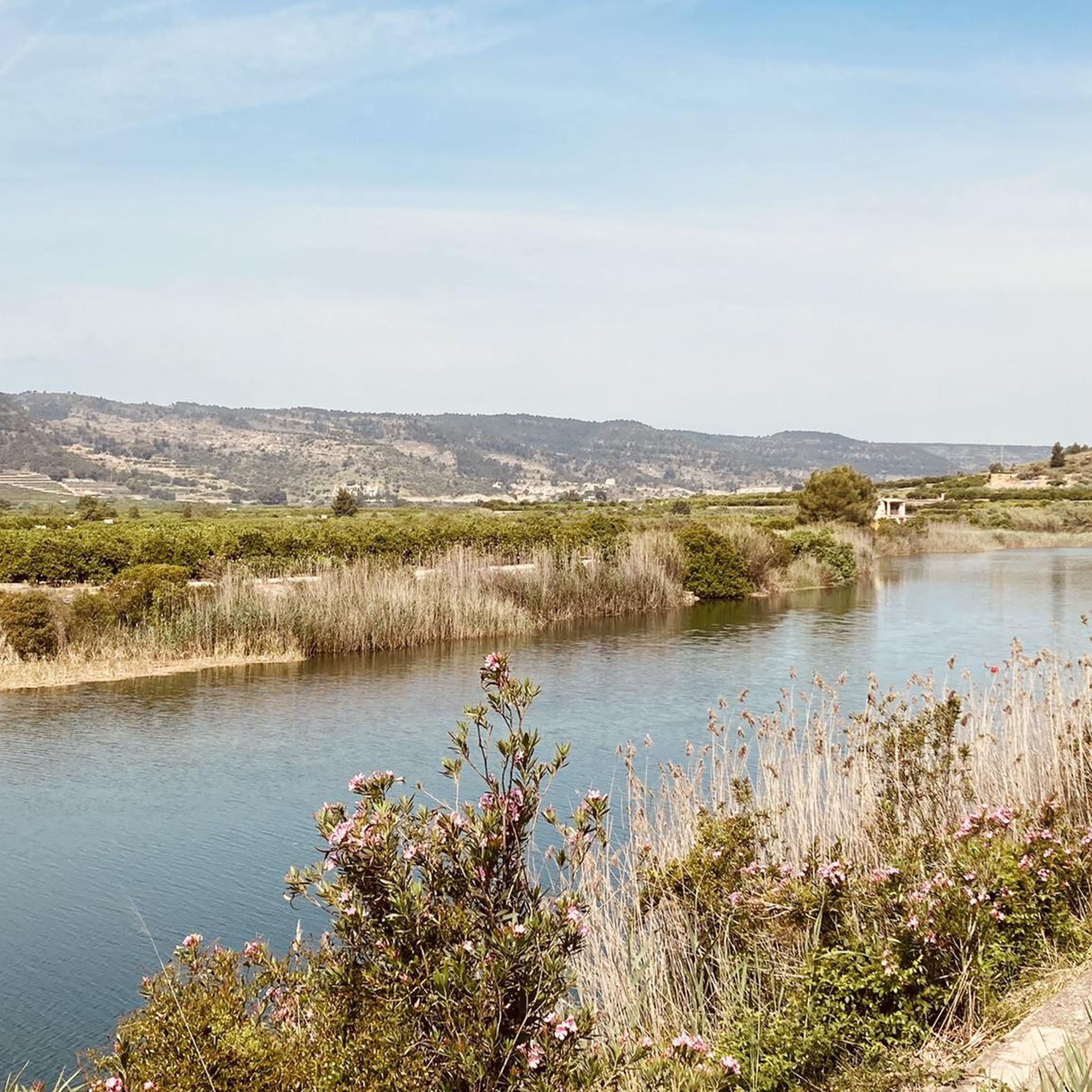
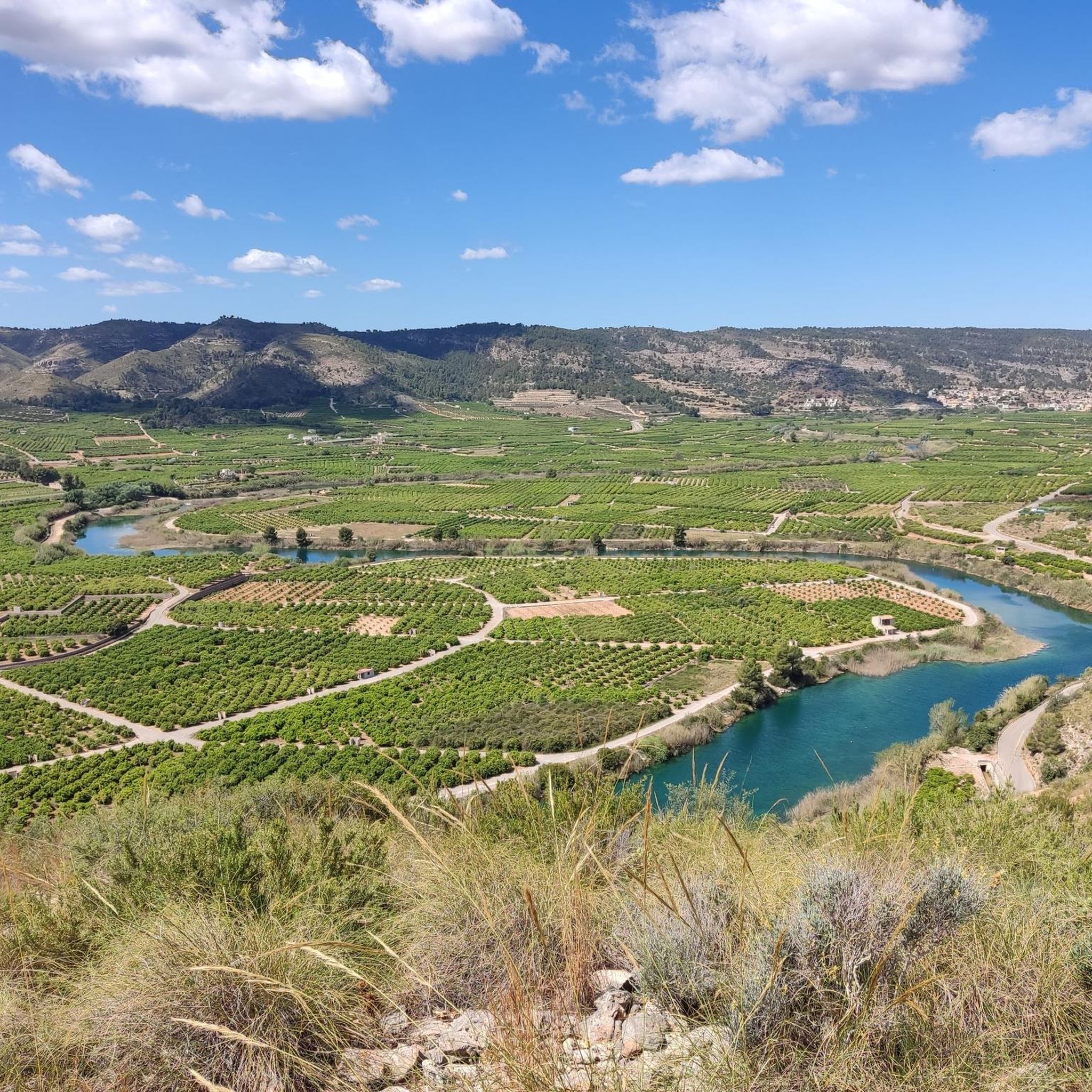
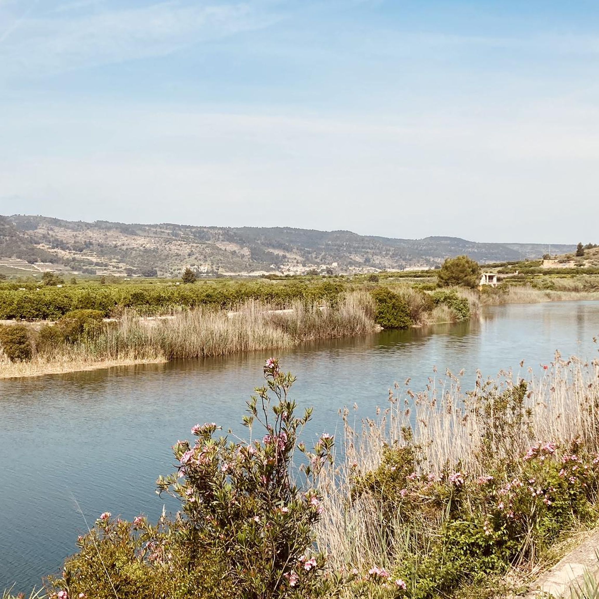
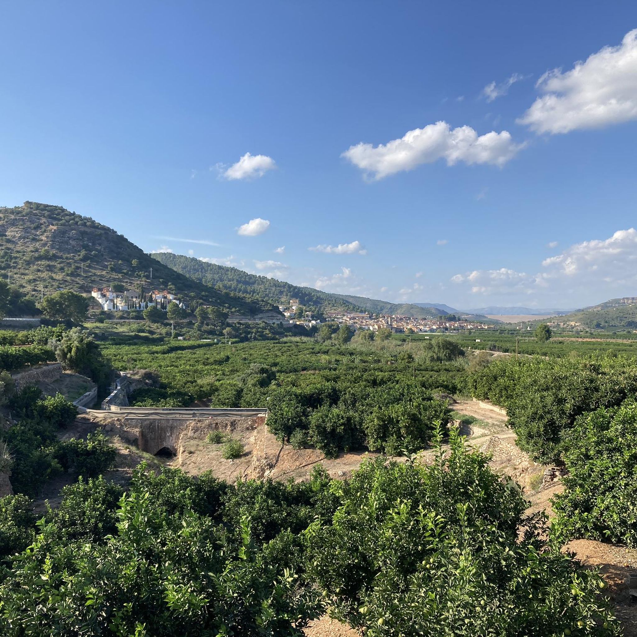
Road cycling routes around Alcàntera De Xúquer traverse a varied landscape, from the flat agricultural plains of the Ribera de Xúquer to the undulating terrain near the northern slopes of the Serra Grossa. The region is characterized by extensive orange groves and rice fields, offering scenic rides along quiet agricultural roads. The Júcar and Sellent rivers define the local topography, providing both riverside paths and routes that ascend into more challenging hilly sections. This diverse environment supports a range of…
Last updated: July 10, 2026
23
riders
50.1km
02:54
490m
490m
Moderate road ride. Good fitness required. Mostly well-paved surfaces and easy to ride.
5.0
(1)
153
riders
96.6km
04:26
870m
870m
Moderate road ride. Good fitness required. Mostly well-paved surfaces and easy to ride.

Sign up for free
99
riders
97.4km
04:33
1,150m
1,150m
Hard road ride. Very good fitness required. Mostly well-paved surfaces and easy to ride.
4.0
(1)
158
riders
58.1km
02:32
480m
480m
Moderate road ride. Good fitness required. Mostly well-paved surfaces and easy to ride.
40
riders
107km
05:07
1,290m
1,290m
Hard road ride. Very good fitness required. Mostly well-paved surfaces and easy to ride.
Get access to more routes and recommendations from other explorers.
Sign up for free
Already have an account?
Our route recommendations are based on thousands of hikes, rides, and runs completed by other people on komoot.
Start today with a free account
Your next adventure awaits.
Login or Signup

Tips from the Community

The port of Barx is a Valencian classic. Its horseshoe bends run over the panorama of the surrounding mountains and the Mediterranean coast.
3
0

Enjoy refreshing water in the adjacent pool. Open during the summer months. There's an entrance fee. See also: Anna Lagoon Lake | Anna City Council https://www.ayuntamientoanna.es/albufera-anna.
0
1
During the summer months of July and August, you must make a reservation via https://www.ontinyent.es/va/pagina/pou-clar. This is only possible for Spanish residents with a NI number. Once you have a reservation, you can take a bus from Ontinyent Poliesportiu Municipal to Pou Clar on weekends. There is no parking at Pou Clar during these months. Parking is available at Poliesportiu Municipal. From there, it's a walk of about 2 kilometers. And then you'll find yourself in a beautiful setting with wonderfully refreshing water.
1
0


From Enguera, it's 14.8 km at 3.3% with a maximum gradient of 9%, reaching the summit at 654 (754 according to the sign) meters above sea level after a 488-meter climb. It's a secondary road with little traffic in good condition. However, there's no shade. The last 12.4 km are marked with typical mountain pass signs in the CV.
0
0
From Enguera, it's 14.8 km at 3.3% with a maximum gradient of 9%, reaching the summit at 654 meters above sea level after a 488-meter climb. It's a secondary road with little traffic in good condition. There's no shade, however. The last 12.4 km are marked with typical mountain pass signs in the CV.
0
0

"This is the exact point where the bike wants to fly... but the view forces you to brake. Serra de les Agulles in the background and Santa Maria de la Valldigna below. A rewarding descent!" Then, refocus as the road twists and turns just beyond with a double bend that demands your attention and puts your brakes to the test.
1
0
The "Col de Rates de la Safor" The Barx Pass, from Simat, is a gem for any cycling enthusiast. A climb that perfectly combines effort with the beauty of the surroundings. Each curve offers a new perspective of the Valldigna Valley, while the monastery remains behind as a silent witness to the ascent. Frequently used by local cyclists, it's an ideal stretch to enjoy at a leisurely pace, feeling each pedal stroke amidst nature and heritage. With several well-defined hairpin bends and a steady but manageable gradient, it's perfect for enjoying the effort without suffering too much. Pass details: 6.3 km | 301 m elevation gain | average gradient of 4.8% | ramps of up to 9.8%.
1
0
Frequently Asked Questions
How many road cycling routes are available around Alcàntera De Xúquer?
There are over 70 road cycling routes available around Alcàntera De Xúquer, catering to various skill levels. This includes 22 easy routes, 35 moderate routes, and 15 difficult routes, offering a wide range of options for cyclists.
What kind of terrain can I expect on road cycling routes near Alcàntera De Xúquer?
The terrain around Alcàntera De Xúquer is quite varied. You'll find flat and scenic routes through agricultural landscapes, including extensive orange groves and rice fields, especially in the Ribera de Xúquer area. Moving towards the northern slopes of the Serra Grossa, routes become more undulating with gentle to moderate inclines, offering more challenging sections.
Are there easy road cycling routes suitable for beginners or families?
Yes, the Ribera de Xúquer area, where Alcàntera De Xúquer is located, is known for its easy cycling routes. These often follow quiet agricultural roads and cycle paths through picturesque agricultural landscapes, making them ideal for leisurely rides and family outings. There are 22 easy routes available in the region.
Can I find challenging road cycling routes with significant climbs?
Absolutely. While the immediate municipality offers flatter options, the proximity to the Serra Grossa mountain range means you can find routes with more significant elevation changes. For example, the La Visteta Viewpoint – Port de Barx loop from Castelló is a difficult route with nearly 1000 meters of elevation gain, leading through the slopes of the Serra Grossa.
What natural attractions can I see while road cycling in the area?
The region offers several natural attractions. You can cycle along the Júcar and Sellent rivers, enjoying scenic views. Nearby, you might encounter the spectacular Gorgo de la Escalera, a natural gorge with a waterfall, or the Vikings' Waterfall. The Albufera de Anna also offers a beautiful natural lake environment.
Are there any historical landmarks or viewpoints accessible by road bike?
Yes, you can incorporate historical landmarks into your rides. The Xàtiva Cathedral – Recreation Area loop from Alberic, for instance, passes near the historic city of Xàtiva, home to the impressive Castell de Xàtiva and the Sun Tower of Xàtiva. Additionally, routes like the La Visteta Viewpoint – Port de Barx loop from Castelló offer scenic viewpoints.
What is the best time of year for road cycling in Alcàntera De Xúquer?
Alcàntera De Xúquer benefits from a Mediterranean climate with around 300 days of sunshine annually, making it an ideal destination for cycling almost year-round. Spring and autumn generally offer the most pleasant temperatures for road cycling, avoiding the peak heat of summer while still enjoying ample sunshine.
Are there circular road cycling routes available?
Many of the road cycling routes around Alcàntera De Xúquer are designed as loops, allowing you to start and finish in the same location. An example is the popular La Canal de Navarrés Loop, which covers 50.1 km with moderate elevation changes.
Where can cyclists find parking near the routes in Alcàntera De Xúquer?
While specific designated cyclist parking areas are not detailed, Alcàntera De Xúquer, being a smaller municipality, typically offers street parking in and around the town center. For routes starting from nearby larger towns like Castelló or Alberic, you would find more established parking facilities. It's advisable to check local parking regulations upon arrival.
Is public transport an option for reaching road cycling routes with a bike?
Public transport options for carrying bikes can vary. While local buses or trains might connect Alcàntera De Xúquer to larger towns in the Valencian Community, policies regarding bicycles often depend on the specific service and time of day. For detailed information, it's best to consult the local public transport providers in the Valencian Community directly.
Are there bike-friendly cafes or accommodation options in Alcàntera De Xúquer?
Alcàntera De Xúquer and the surrounding Ribera Alta region are welcoming to visitors. You'll find local cafes and restaurants in the town center where you can refuel. For accommodation, smaller guesthouses or rural hotels in the area are often accustomed to outdoor enthusiasts and may offer secure bike storage. It's recommended to inquire directly with establishments about bike-friendly amenities when booking.
What do other cyclists say about road cycling in Alcàntera De Xúquer?
The road cycling routes around Alcàntera De Xúquer are highly rated by the komoot community, with an average score of 4.4 stars from over 50 reviews. Cyclists often praise the varied landscapes, from the peaceful agricultural plains to the more challenging hilly sections, and the well-maintained roads that make for enjoyable rides.
Are there any long-distance road cycling options from Alcàntera De Xúquer?
Yes, the region offers options for longer rides. For example, the Ateneo Sueco del Socorro – Cullera Lighthouse loop from Castelló is a moderate 103.7 km path that extends towards coastal plains and agricultural areas, providing a good option for a longer day out on the bike.
Most popular routes around Alcàntera De Xúquer
Most popular attractions around Alcàntera De Xúquer

Get inspired with the komoot mobile app


Explore more
Browse the best Road cycling routes in other regions.
