The best walks and hikes around Lladorre
4.6
(278)
2,396
hikers
57
hikes
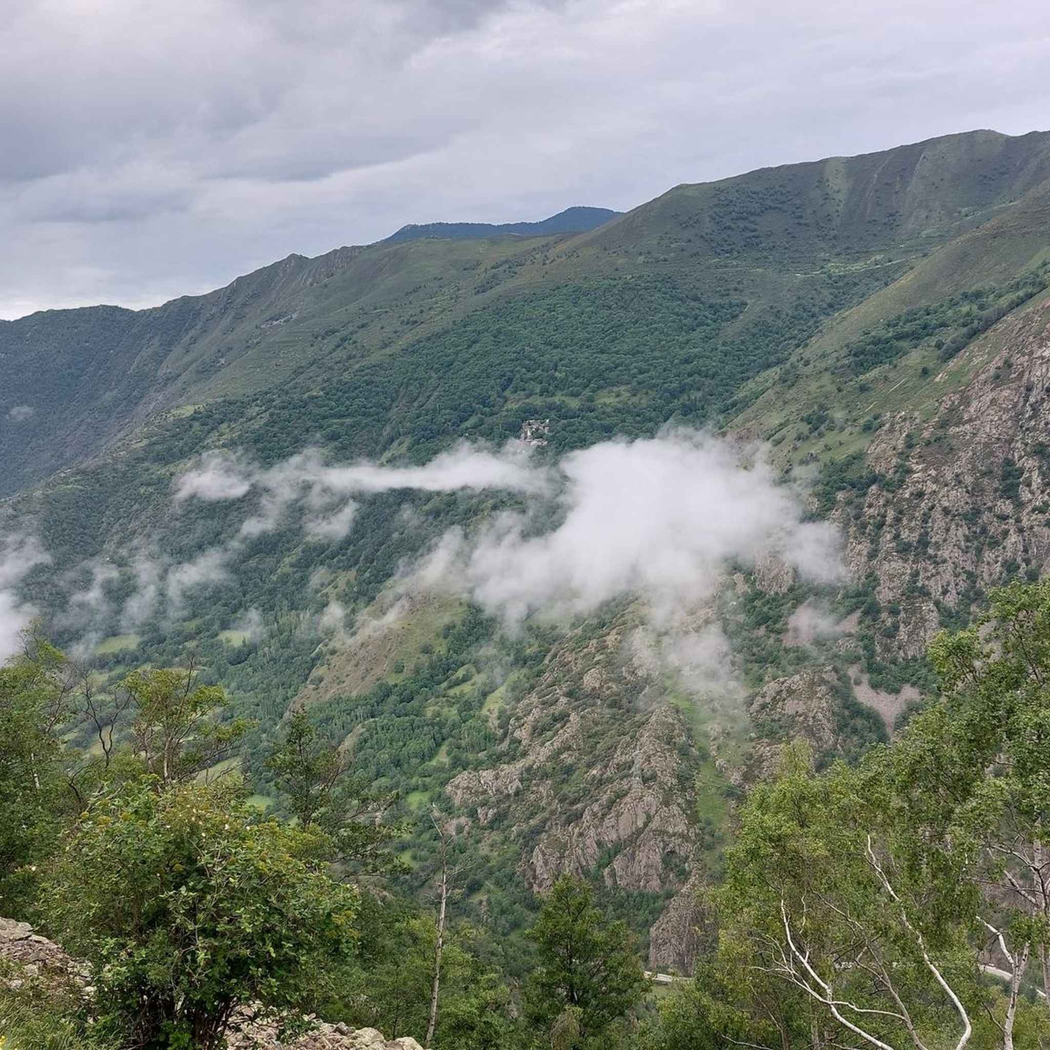
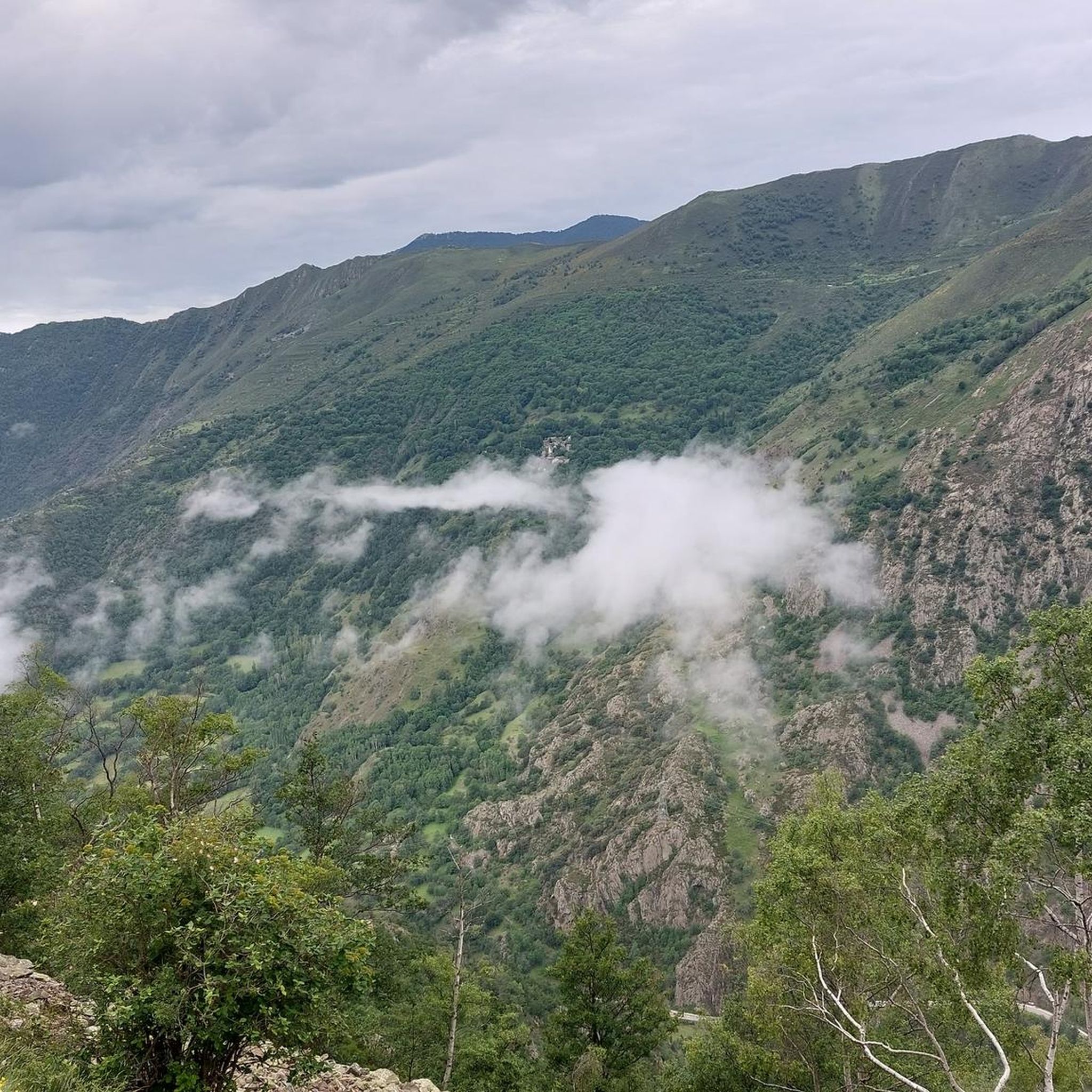
Hiking around Lladorre offers access to high-mountain landscapes within the Alt Pirineu Natural Park. The region features dramatic mountain ranges, numerous glacial lakes, and the headwaters of the Cardós Valley. Peaks exceeding two thousand meters define the terrain, providing varied elevation and challenging ascents. Rivers like the Tavascan and Noguera de Lladorre also wind through the area.
Best hiking trails around Lladorre
- The most popular hiking route is Trail of the Sun, a 4.1 miles (6.5 km) trail that…
Last updated: October 10, 2026
3.8
(5)
44
hikers
6.52km
03:31
630m
630m
Hike to Lago de Mascarida from Refugio Pleta del Prat, a moderate 4.1-mile route with 2081 feet of gain in Alt Pirineu Natural Park.
4.8
(5)
40
hikers
9.73km
05:11
920m
920m
Hard hike. Very good fitness required. Mostly accessible paths. Sure-footedness required.

5.0
(2)
10
hikers
16.6km
06:37
980m
980m
This difficult 10.3-mile circular hike from Pla de Castellanos to Estany de Certascán offers stunning high-mountain Pyrenean scenery.
5.0
(1)
5
hikers
7.58km
03:27
550m
550m
Hike to the pristine glacial lakes of Estany del Port and Estany de la Mariola on this challenging 4.7-mile route in the Alto Pirineo.
4.9
(13)
163
hikers
15.2km
08:11
1,390m
1,390m
Hard hike. Very good fitness required. Sure-footedness, sturdy shoes and alpine experience required.
Get access to more routes and recommendations from other explorers.
Already have an account?
Our route recommendations are based on thousands of hikes, rides, and runs completed by other people on komoot.
Start today with a free account
Your next adventure awaits.
Popular around Lladorre

Haute Route Pyrénéenne – Pyrenees Crossing

On wild ridges: Catalonia to Ariège – Hexatrek, Eastern Pyrenees

Catalonia and Andorra on the Pyrenean Trail – GR 11
MTB Trails around Lladorre
Road Cycling Routes around Lladorre
Running Trails around Lladorre
Cycling around Lladorre
Mountain Hikes around Lladorre

Gravel biking around Lladorre


Tips from the Community

A large mountain lake near the Refugi de Certascan hut. Today it looks like an estuary in Norway.
1
0

This lake is located 2,271 meters above sea level and is of glacial origin.
0
0

One of the most beautiful lakes in the Pyrenees, it is difficult to get to, but it is worth it.
1
0
At the foot of the famous Estany de Certascán.
1
0

Warm welcome excellent meal. hearty picnic
1
0

Hard climb but the lake is worth cooling off
0
0

The Certascán lake is the largest glacial lake in the Catalan Pyrenees and rivals the Tort lake for being the largest in the whole mountain range. The final section of the climb is quite comfortable because it is well trodden by all the mountaineers who climb to the magnificent Pyrenean lake. At the entrance to the glacial cirque there is a small lagoon surrounded by cliffs and rocky outcrops and then there is the Certascan Refuge, practically on the shore of the lake. The path continues along the Coll de Certascan towards other places and mountain valleys at the foot of beautiful peaks, such as the Certascan peak (2,853 m), an interesting option for lovers of peaks. The return is along the same path until the detour of the path that descends from the Llurri gap. At this crossroads, continue straight ahead, going slightly uphill, and leave a path that goes down to the right towards the Canalada dam and the forest track that goes up from Montalto. The trail jumps over a small shoulder on the slope of the mountain range and begins a long descent towards the Vall de Cardós. The path is marked with the white and red signs of the long-distance path that connects the GR-11 of the Senda Pirenaica with the French paths GR-10 and Alta Ruta Pirenaica or Haute Randonée Pyrénéenne (HRP).
1
0
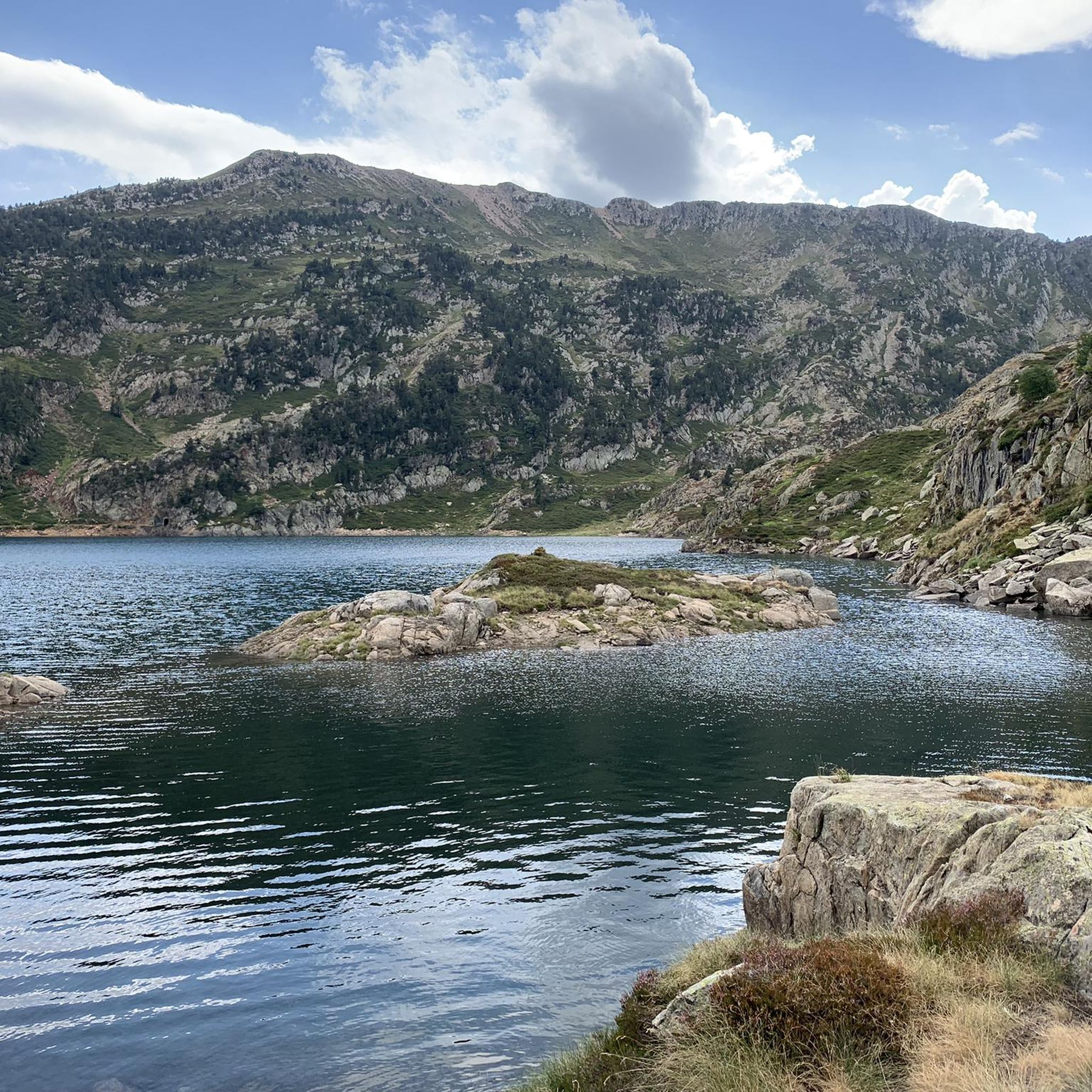
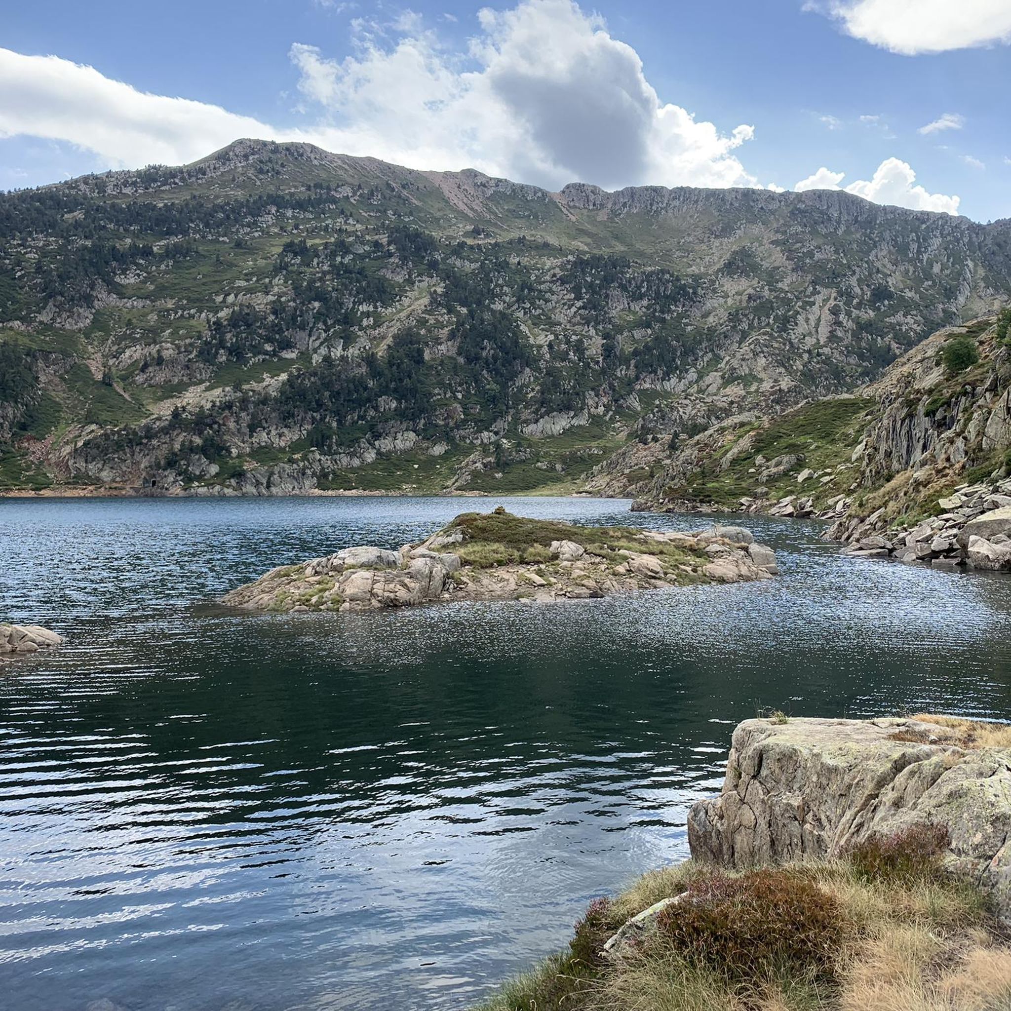
The path goes through a beautiful horsetail of singing waters and goes up to the outlet of the Romedo de Baix pond, which is raised with a stone wall to increase the capacity of the reservoir. Admirers of glacial modeling in high mountains can take advantage of and visit the cirques of the Guiló ponds. The route crosses the dam and follows the access lane for about two hundred metres, until a sharp curve where there is a small hut and markings for the mountain routes. The mountain crossing leaves the track and continues straight ahead along the shore of the lake, which offers a spectacular view on this slope. The trail has red and green paint dots and red and white chevrons. On a small rocky outcrop there is a rope for a channel to facilitate climbing. On the opposite side, the rope has disappeared, only the pegs remain, but it is lowered without complications. The path is well marked with the colors of the paths through an impeccable glacial valley to the shore of the Romedo de Dalt pond, completely natural, without artificial dams and a beautiful island decorating the mountain lagoon. In the same glacial basin are the Senó, Colatx and Punturri ponds. The red and white marks go up to the left of the Romedo de Dalt pond to the gap in the Sierra de Llurri, a spectacular pass between the peaks of the mountains of the Alto Pirineo Natural Park. The trail looks for the right descent to go down between the dizzying spurs of Llurri and connect with the path that goes up to the Certascán pond.
0
0
Frequently Asked Questions
What kind of hiking terrain can I expect in Lladorre?
Lladorre, situated within the Alt Pirineu Natural Park, offers diverse high-mountain landscapes. You'll encounter dramatic mountain ranges, numerous glacial lakes, and peaks exceeding two thousand meters. Trails range from easily accessible paths with less elevation gain to demanding mountaineering routes requiring sturdy shoes and alpine experience. The head of the Cardós Valley and the plain of Boavi also provide stunning vistas.
Are there any notable natural features or landmarks to see on hikes in Lladorre?
Yes, the region is rich in natural beauty. You can explore several glacial lakes, including the impressive Certascan Lake, which is the largest in the Pyrenees. Other picturesque lakes like Mariola, Naorte, and Romedo are also prominent. Majestic peaks such as Sotllo (3,084 meters) and Mont-roig (2,847 meters) offer challenging ascents and panoramic views. The Tavascan and Noguera de Lladorre rivers also wind through the area.
What is the best time of year to go hiking in Lladorre?
The best time for hiking in Lladorre is generally during the warmer months, from late spring to early autumn, when trails are clear of snow and the high-mountain passes are more accessible. During winter, the Tavascan ski resort operates, and conditions are suitable for winter sports rather than general hiking, with snow and ice prevalent at higher altitudes.
Are there any circular hiking routes in Lladorre?
Yes, Lladorre offers several circular routes. A notable one is the Certascan Lake Loop Trail, which is a difficult 16.6 km (10.3 miles) path, offering a comprehensive experience of the area's largest lake. The broader 'Fifth Lake Route' is also a significant circular mid-mountain trail spanning over 100 kilometers across the wider region.
Are there any waterfalls to visit near Lladorre?
Yes, the region boasts several beautiful waterfalls. You can find highlights such as the Ars Waterfall (Middle), the Upper Ars Waterfall, and the Anglade Waterfall and Cirque. These natural attractions often provide refreshing stops along various hiking paths.
What do other hikers enjoy most about hiking in Lladorre?
The hiking routes in Lladorre are highly rated by the komoot community, with an average score of 4.6 stars from over 200 reviews. Hikers often praise the stunning high-mountain scenery, the pristine glacial lakes, and the variety of trails that cater to different skill levels, from moderate walks to challenging mountaineering expeditions.
Are there any huts or refuges available for hikers in Lladorre?
Yes, for those undertaking longer or multi-day hikes, there are several huts and refuges in the vicinity. Notable options include Refugi Certascan and Refugi de la Pleta del Prat. These provide essential shelter and sometimes services for hikers in the high mountains.
Are there any easy or family-friendly hiking options in Lladorre?
While many routes in Lladorre are challenging, there are options suitable for less experienced hikers or families. The region offers paths with less elevation gain, allowing for more leisurely exploration of the valleys and lower mountain areas. For example, the Trail of the Sun is a moderate 6.5 km (4.1 miles) route that explores varied terrain and is a good starting point.
Can I bring my dog on the hiking trails in Lladorre?
Lladorre is located within the Alt Pirineu Natural Park, which generally welcomes dogs on trails, often requiring them to be on a leash to protect wildlife and livestock. It's always advisable to check specific regulations for individual trails or protected areas within the park before heading out with your dog.
Are there any routes that lead to prominent lakes?
Absolutely. Many trails in Lladorre feature its iconic glacial lakes. For instance, the difficult Refugio Pleta del Prat — Lago de Mascarida y Lago del Diablo path leads to two notable glacial lakes, offering stunning high-mountain scenery. Another option is the difficult Estanys del Port and de la Mariola Trail, which takes you through high-mountain passes and past several glacial lakes.
How many hiking trails are available around Lladorre?
There are over 50 hiking trails available around Lladorre, catering to a wide range of abilities. This includes 1 easy route, 19 moderate routes, and 32 difficult routes, ensuring options for all experience levels from casual walkers to experienced mountaineers.
Most popular routes around Lladorre
Most popular attractions around Lladorre

Get inspired with the komoot mobile app


Explore more
Browse the best Hikes in other regions.
