The best running trails around Farrera
4.0
(2)
367
runners
39
runs
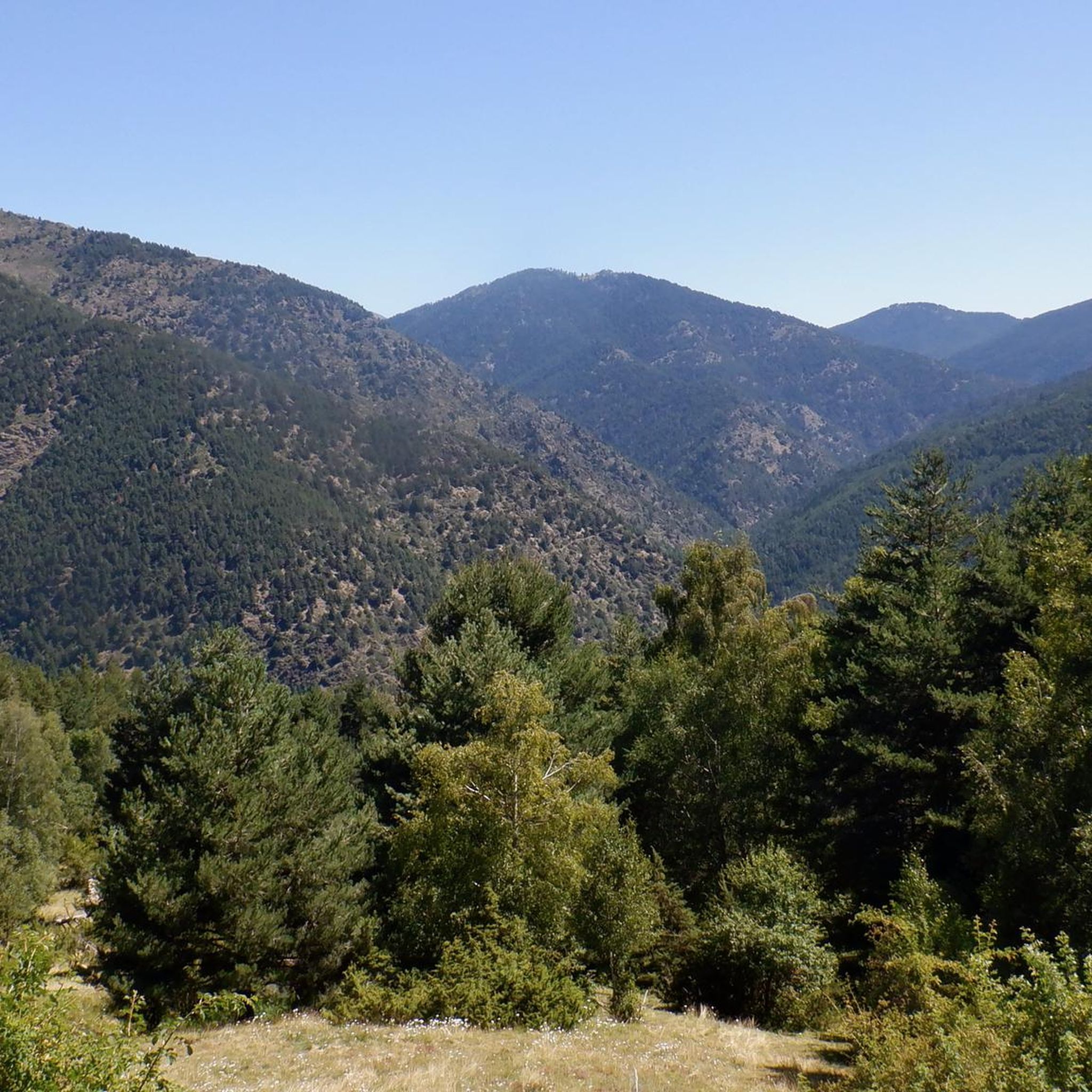
Jogging around Farrera offers routes through a mountainous landscape characterized by significant elevation changes and varied terrain. The region features challenging climbs and descents, with trails often winding through high-altitude areas. Runners can expect to encounter a mix of natural surfaces, from forest paths to more exposed mountain trails. The area provides opportunities for demanding trail running experiences amidst rugged natural features.
Best jogging routes around Farrera
- The most popular jogging route is Coll de So loop from Tírvia,…
Last updated: October 7, 2026
42
runners
23.1km
03:45
1,440m
1,460m
Hard run. Very good fitness required. Mostly paved surfaces. Suitable for all skill levels.
4.0
(1)
31
runners
8.26km
01:03
170m
170m
Moderate run. Good fitness required. Mostly paved surfaces. Suitable for all skill levels.

35
runners
40.7km
07:06
2,830m
2,840m
Hard run. Very good fitness required. Sure-footedness, sturdy shoes and alpine experience required.
13
runners
12.7km
01:43
460m
460m
Hard run. Very good fitness required. Mostly paved surfaces. Suitable for all skill levels.
8
runners
Hard run. Very good fitness required. Mostly paved surfaces. Suitable for all skill levels.
Get access to more routes and recommendations from other explorers.
Already have an account?
Our route recommendations are based on thousands of hikes, rides, and runs completed by other people on komoot.
Start today with a free account
Your next adventure awaits.

Tips from the Community


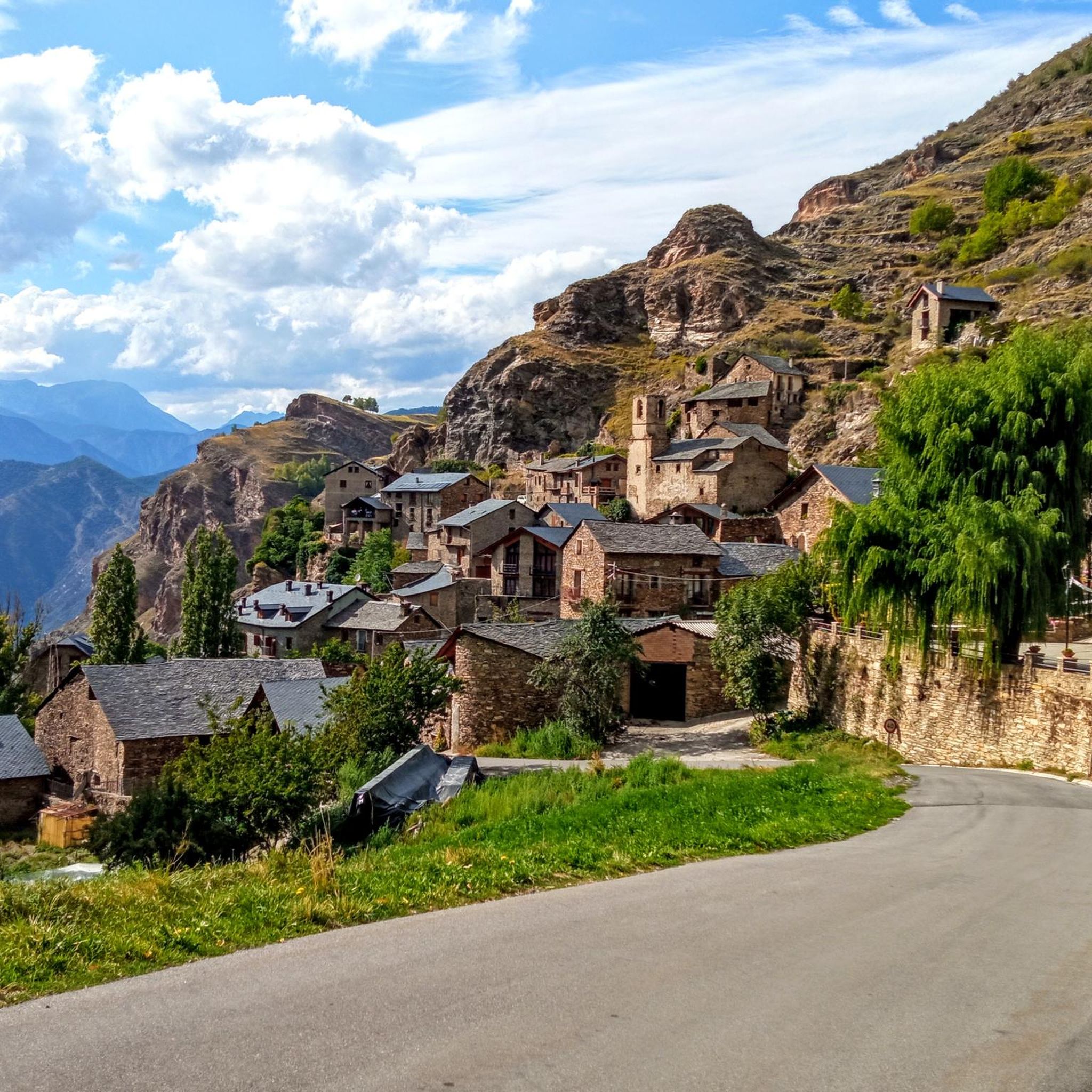
The Conflent Pass is an extraordinary natural viewpoint from which we can enjoy wonderful views. From the pass, if we follow the trail down towards the Santa Magdalena Valley (E), we would reach the Conflent huts, a place steeped in legends of smugglers and fugitives. Curiously, these huts are unique in that they are one of the few groups of Pyrenean huts that have a chapel. Also, near the Conflent Pass, we can visit two machine-gun nests. They are two of the many bunkers built by the Franco government at the end of the Spanish Civil War to combat the incursions of the Maquis. These bunkers are part of the so-called "Pyrenees Line," a group of nearly 10,000 fortifications and bunkers spread from Cap de Creus to the Basque Country.
0
0

Very cozy shelter and very good lunch
1
0

The Basseta refuge is located at an altitude of 1,720 metres, on the esplanade of the same name. It has a capacity of 79 places, distributed in rooms with four to six people and the rest in a general dormitory. It also has a fireplace, showers, food service, a living room and a bar.
1
0


Also called, Torreta del Orri, stands out for its magnificent views from the top. Located at an altitude of 2,439m, we have views of all of Pallars, Pica d'Estats, Cadí, the mountains of Montserrat and the Aragonese Pyrenees.
0
0
This is an exceptional place to enjoy nature. Located near the refuge of Basseta, this hermitage gives us a beautiful picture among trees at 1690 m in height. In winter, there is a Nordic ski tour, since it is located in the ski resort of Sant Joan de l'Erm
0
0
In Sant Joan de l'Erm Vell, we will find remains of an old sanctuary and a hospital that welcomed travelers who went on foot or on horseback between Pallars and Alt Urgell. (We can read the explanatory panels that we will find and thus transport ourselves to that time) From this point to Sant Joan del Erm Nou we will be separated by 5 kilometers of magical forests. It can be accessed from the town of Montenartró or from the new refuge of Sant Joan del Erm.
0
0
Frequently Asked Questions
What kind of terrain can I expect on running routes around Farrera?
Running routes in Farrera are primarily in a mountainous landscape. You can expect significant elevation changes, challenging climbs and descents, and varied natural surfaces, including forest paths and more exposed mountain trails. The region offers a rugged and demanding trail running experience.
How many running routes are available in Farrera?
There are over 30 dedicated running routes around Farrera, catering to various skill levels. The komoot community has explored these trails extensively, with more than 300 runners using komoot to navigate the area's diverse terrain.
Are there any easy running routes for beginners in Farrera?
While Farrera is known for its challenging mountain terrain, there are a few easier options. For instance, the guide lists 2 easy routes. One moderate option is the Llavorsí loop from Llavorsí, which is 5.1 miles (8.3 km) long with a moderate elevation gain of 174 meters, offering a more accessible running experience.
What are some notable natural features or landmarks I might see while jogging in Farrera?
Farrera's mountainous landscape offers several natural highlights. You might encounter stunning views from mountain passes like Port del Cantó (1,721 m) or Port de Cabús. There's also the serene Black Lake of Comapedrosa and various summits such as Alt de la Capa Peak, providing breathtaking backdrops for your run.
Are there any circular running routes in Farrera?
Yes, many of the running routes in Farrera are designed as loops. For example, the challenging Coll de So loop from Tírvia is a popular 15.0-mile (24.1 km) trail, and the Pico de Salòria loop from Tírvia is a longer 27.5-mile (44.2 km) route through high mountain terrain.
What do other runners enjoy most about jogging in Farrera?
The running routes in Farrera are highly rated by the komoot community, with an average score of 4.0 stars. Runners frequently praise the challenging mountain ascents, the varied natural surfaces, and the panoramic views from the elevated trails, which provide a rewarding and immersive outdoor experience.
Are there any running routes suitable for families or those jogging with children?
While many routes in Farrera are challenging, there are options for different ability levels. For families or those with children, it's advisable to look for the easier or moderate routes. The Llavorsí loop from Llavorsí, for instance, is a moderate 5.1-mile (8.3 km) path with a manageable elevation gain, which might be more suitable for a family outing.
What is the best time of year to go running in Farrera?
Given Farrera's mountainous terrain, the best time for running is typically during the warmer months, from late spring through early autumn. This avoids the snow and ice that can make high-altitude trails impassable or dangerous in winter. Always check local weather conditions before heading out.
Are there any huts or refuges along the running trails in Farrera?
Yes, Farrera's mountainous region features several huts and refuges that can be useful for longer runs or as points of interest. You can find places like Refugi de la Basseta, Cabaña dels Rasos de Baiasca, and Francolí Refuge, which can offer shelter or a place to rest.
What is the typical difficulty level of running routes in Farrera?
Farrera is known for its challenging running environment. The majority of routes are classified as difficult (22 out of 32 routes), featuring substantial elevation gains and long distances. There are also 8 moderate routes and 2 easier options for those seeking less strenuous runs.
Are there any long-distance running trails in Farrera?
Yes, Farrera offers several long-distance running trails for experienced runners. The Pico de Salòria loop from Tírvia is a significant 27.5-mile (44.2 km) trail with nearly 3,000 meters of ascent, often taking over 7 hours to complete. Another challenging option is the Coll de So loop from Tírvia, which is 15.0 miles (24.1 km) long.
Do I need any special permits for trail running in Farrera?
The provided information does not indicate that special permits are generally required for trail running on the routes around Farrera. However, if you plan to run within specific protected areas or natural parks, it's always advisable to check with local authorities for any specific regulations or permit requirements that might apply.
Most popular attractions around Farrera

Get inspired with the komoot mobile app


Explore more
Browse the best Running Trails & Routes in other regions.
