The best mountain hikes around Guardiola De Berguedà
5.0
(5)
131
hikers
6
hikes
Mountaineering routes Guardiola de Berguedà are situated within the Alt Berguedà region, nestled among the Pre-Pyrenees range. This area is characterized by its diverse topography, extending from the lower slopes of the Pyrenees to the plains of the Central Catalan Depression. It serves as a gateway to the Cadí-Moixeró Natural Park, featuring pine and beech forests, alpine glades, and limestone mountains. The region also includes iconic peaks like Pedraforca, offering varied terrain for mountaineering.
Best mountaineering routes around Guardiola De…
Last updated: July 1, 2026
14
hikers
10.2km
05:12
700m
700m
Hard mountaineering route. Very good fitness required. Sure-footedness, sturdy shoes and alpine experience required.
7
hikers
8.83km
04:18
630m
630m
Hard mountaineering route. Good fitness required. Sure-footedness, sturdy shoes and alpine experience required.

Sign up for free
5
hikers
11.4km
05:10
810m
810m
Hard mountaineering route. Very good fitness required. Sure-footedness, sturdy shoes and alpine experience required.
4
hikers
10.6km
04:48
710m
710m
Moderate mountaineering route. Good fitness required. Mostly accessible paths. Sure-footedness required.
5.0
(2)
5
hikers
15.3km
07:00
1,140m
1,150m
Hard mountaineering route. Very good fitness required. Mostly accessible paths. Sure-footedness required.
Our route recommendations are based on thousands of hikes, rides, and runs completed by other people on komoot.
Start today with a free account
Your next adventure awaits.
Login or Signup
Popular around Guardiola De Berguedà
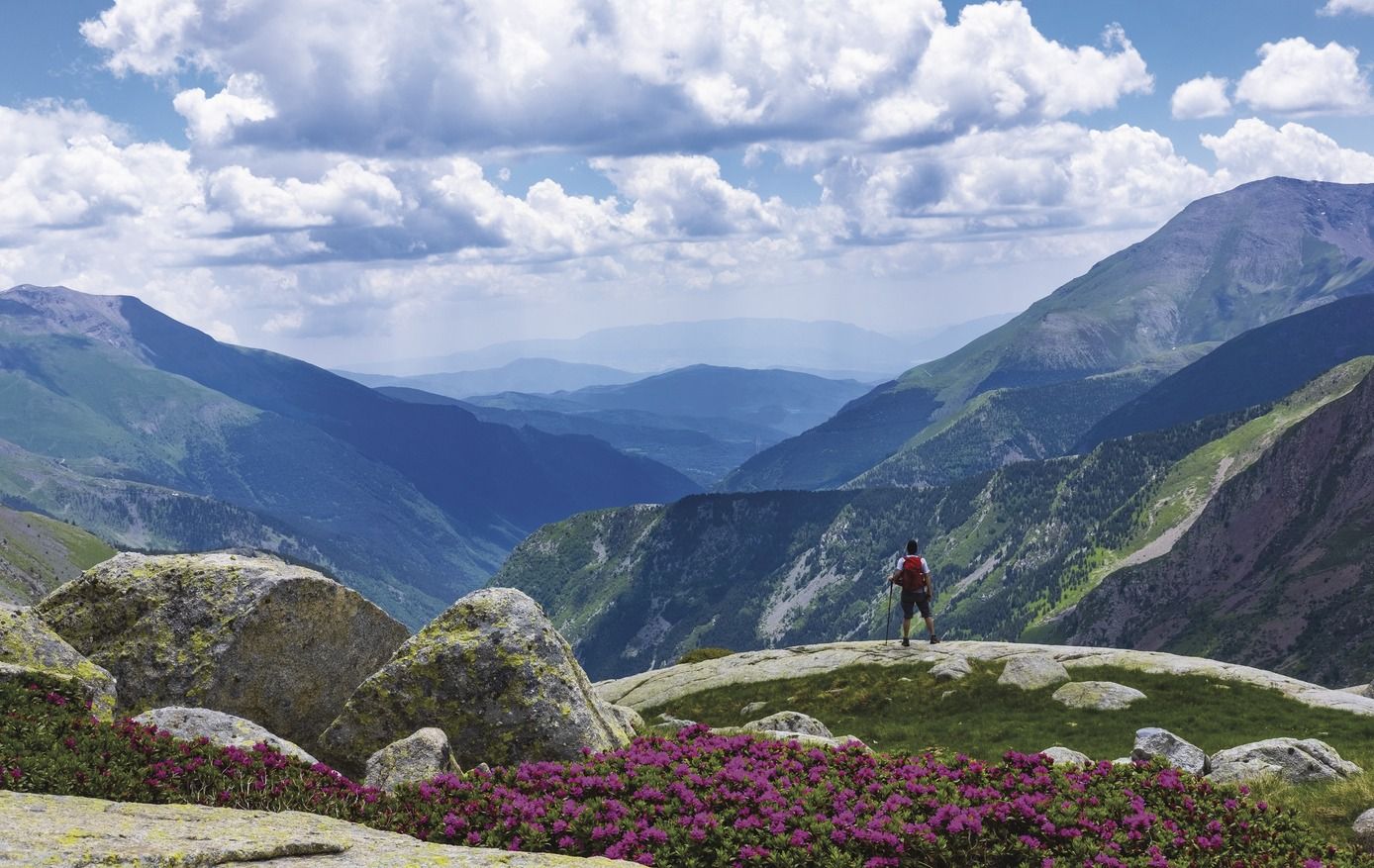
Great Hiking Routes of Catalonia
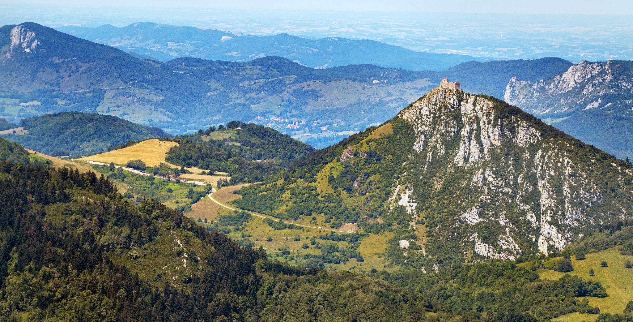
Cathar Route from Catalonia to France – Bons Homes Path (GR 107)
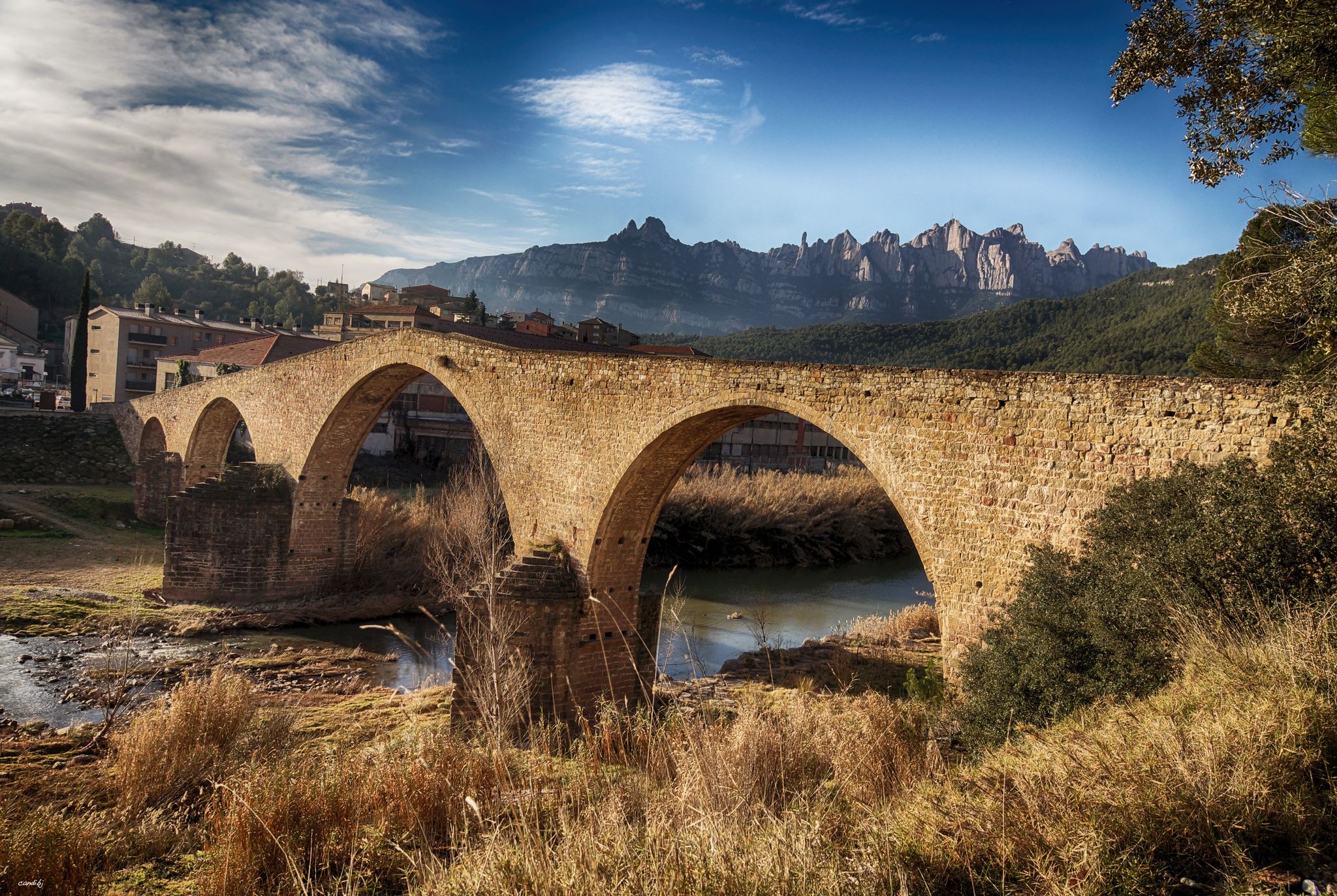
The river of Barcelona – El Camí del Llobregat
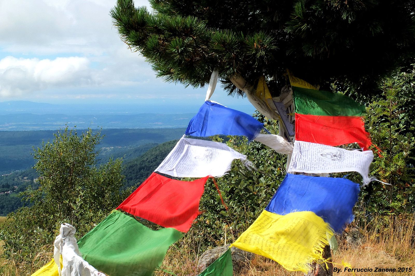
The symbol of Nepal in the Pyrenees – Cavalls del Vent
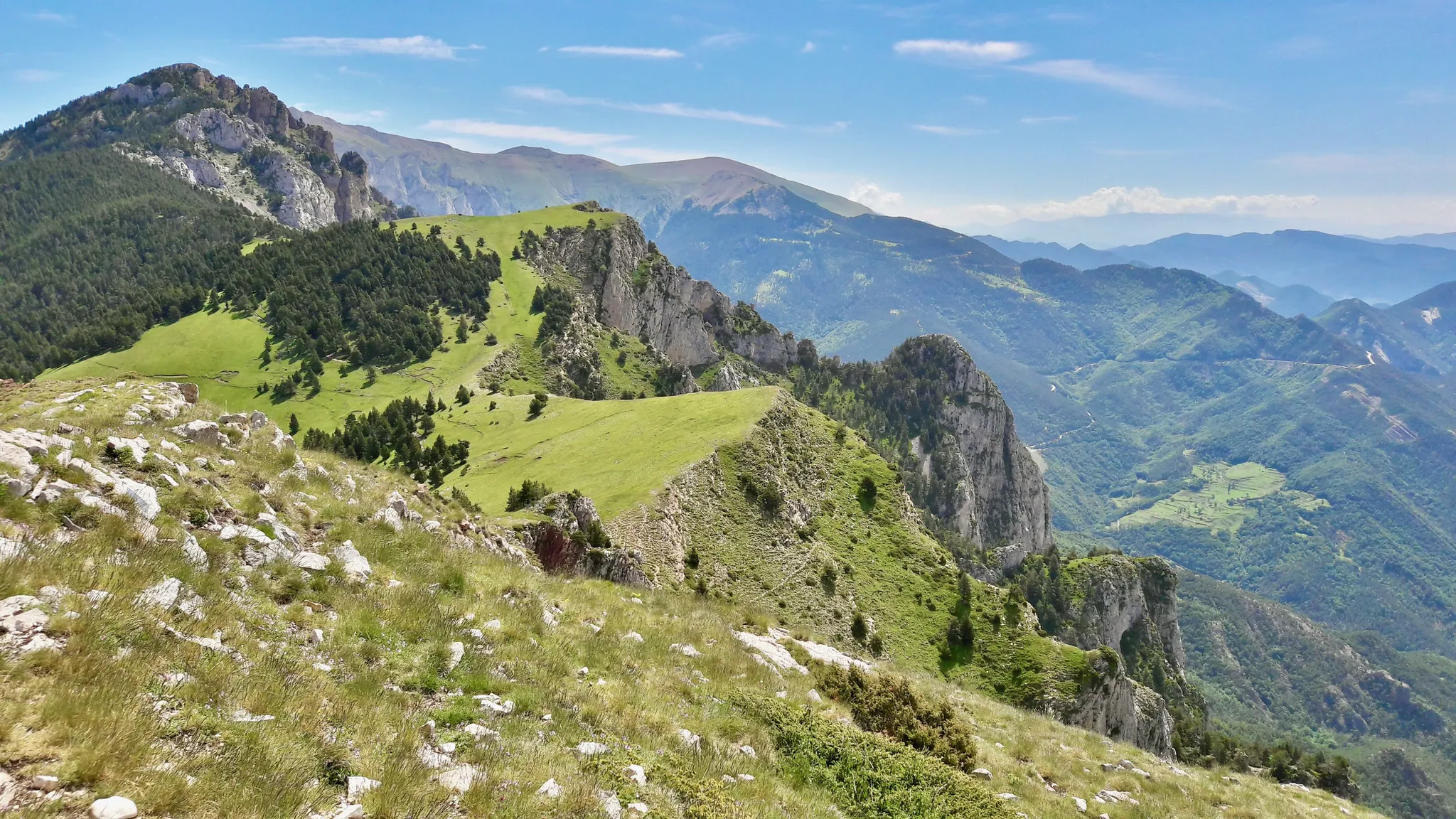
Hiking in Cavalls del Vent — Spain’s Parque Natural Cadí-Moixeró
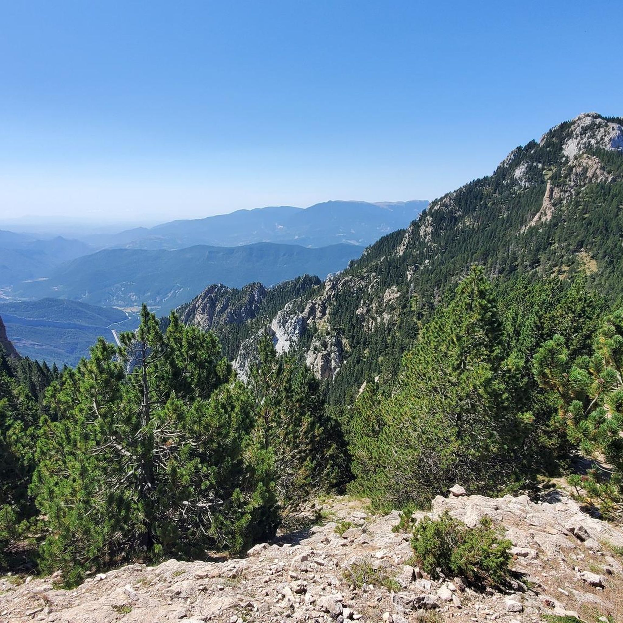
Road Cycling Routes around Guardiola De Berguedà
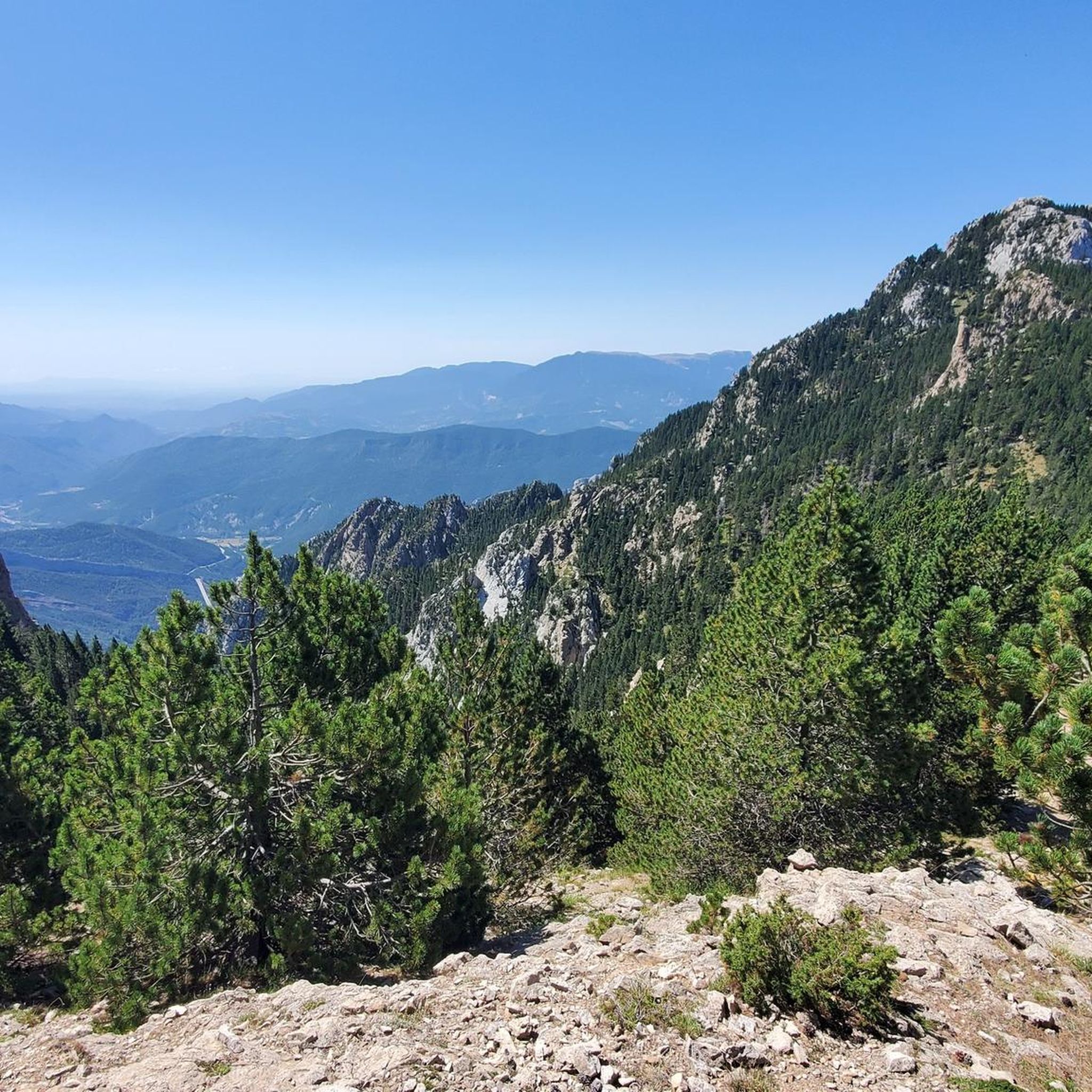
Hiking around Guardiola De Berguedà
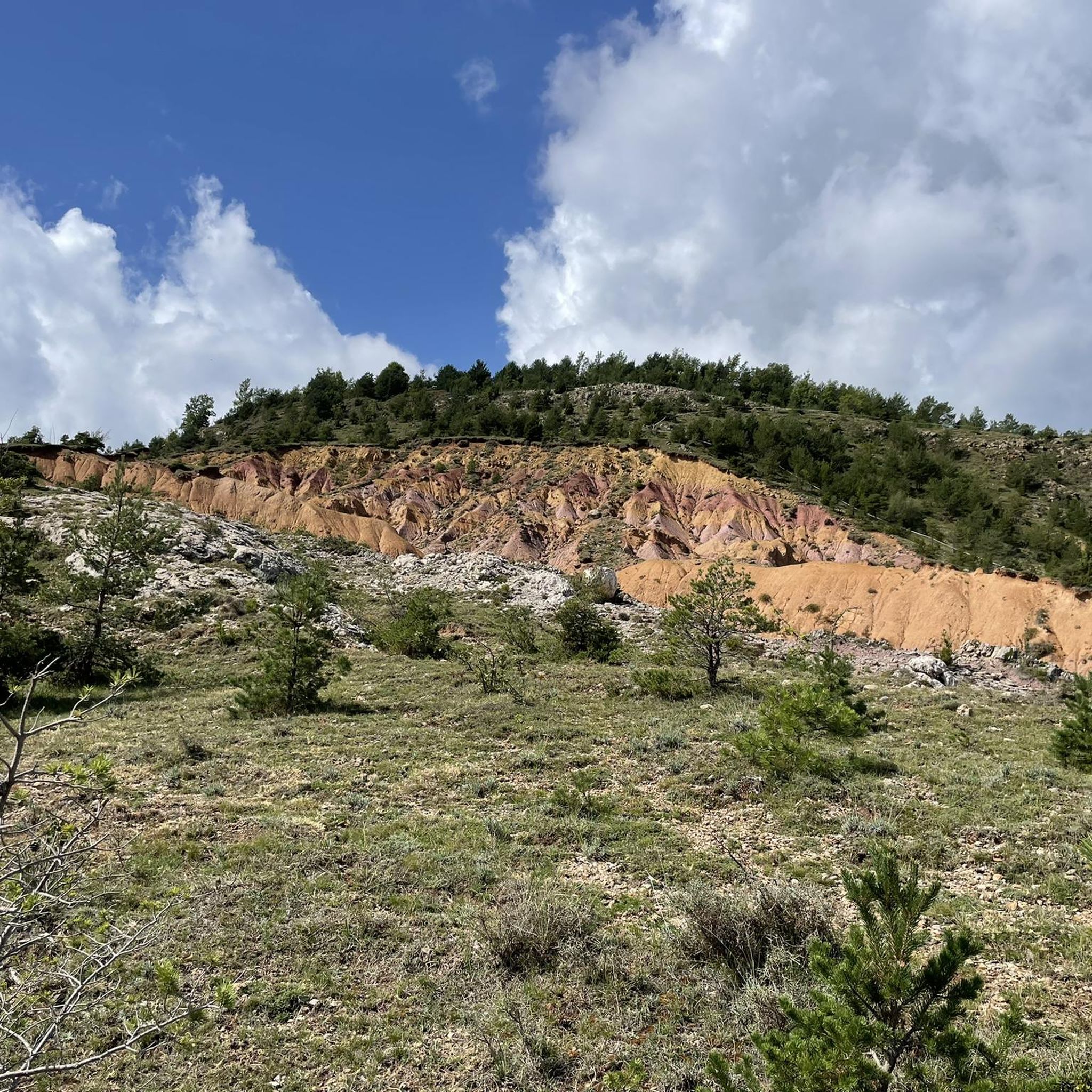
Cycling around Guardiola De Berguedà
MTB Trails around Guardiola De Berguedà
Running Trails around Guardiola De Berguedà
Other adventures around Guardiola De Berguedà


Tips from the Community

Masella - Niu - Coma Oriola - Niu - Masella. Controlant Z3 - Z4. De tranquis, sense apretar en cap moment, sumant desnivell. Molt bones sensacions.
0
0

very good summit, it is important to book in advance if you want to sleep in the refuge. Easy climb and beautiful place!
0
0

The Niu de l'Àliga Refuge is located at an altitude of 2,500 meters at the top of Tosa d'Alp, in the municipality of Bagà. This refuge is an iconic building at the highest point of the La Molina ski resort and offers spectacular views of the Cerdanya valley, Ripollès, and Berguedà. It is a privileged spot to enjoy sunsets and moonlit nights. The refuge has capacity for 27 people and offers services such as a cable car, blankets, showers, mobile charging, Wi-Fi, a bar, and a restaurant.
5
0

This mountain pass was the old road that connected Berga to Saldes. It is one of the major points of this GR®107, linked to the escape of the Bonshommes.
0
0

For me it is one of the nicest refuges in the area, small and cozy.
0
0
360 Panoramic Views and Pedraforca
0
0

Pas dels Gosolans, where the people of Cerdanya used to pass with their flocks to reach Ripollès
0
0

After about an hour's climb from Prat d'Aguilo you reach this pass with its incredibly beautiful, barren landscape.
0
0
Frequently Asked Questions
What types of mountaineering routes can I find around Guardiola De Berguedà?
The region offers a diverse range of mountaineering routes, primarily categorized as moderate and difficult. These trails traverse the Pre-Pyrenees range, including areas within the Cadí-Moixeró Natural Park, featuring varied terrain from pine and beech forests to alpine glades and limestone mountains. You'll find routes with significant elevation gains and panoramic views, suitable for experienced mountaineers.
Are there any circular mountaineering routes in the area?
Yes, several routes are designed as loops, allowing you to start and finish at the same point. For example, you can explore the Mountaineering loop from Saldes, which is a difficult 8.8 km trail, or the COMABONA loop from Refugi Prat d'Aguiló, a moderate 10.6 km route through high mountain landscapes.
What are some challenging mountaineering routes near Guardiola De Berguedà?
For those seeking a challenge, routes like the Cap de la Gallina Pelada loop from els Tres Camins offer significant elevation gain over 11.4 km, leading to panoramic views. Another demanding option is the Penyes Altes del Moixeró loop from Gréixer, covering nearly 15 km with over 1200 meters of ascent.
Are there any moderate mountaineering options for those with less experience?
While many routes are difficult, there are moderate options available. The COMABONA loop from Refugi Prat d'Aguiló is a moderate 10.6 km trail that takes you through high mountain landscapes, offering a less strenuous but still rewarding experience compared to the more challenging ascents.
What natural landmarks or points of interest can I see along these routes?
The region is rich in natural beauty. You'll find iconic peaks like Pedraforca, and the routes often pass through the Cadí-Moixeró Natural Park. Along your journey, you might encounter mountain passes such as Coll de Merolla, or enjoy views of the Baells Reservoir. The area is also dotted with mountain huts like the Niu de l'Àliga Refuge and Prat d'Aguiló Refuge.
What is the best season for mountaineering in Guardiola De Berguedà?
The best time for mountaineering typically depends on the specific route and your experience level. Spring and autumn offer pleasant temperatures and vibrant landscapes. Summer is also popular, though higher altitudes can still be cool. For winter mountaineering, specialized equipment and experience are essential due to snow and ice conditions, especially on peaks over 2,000 meters like those in the Cadí and Moixeró mountains.
Are there any family-friendly mountaineering routes?
While the routes in this guide are generally rated moderate to difficult, the broader Berguedà region offers a variety of trails. For family-friendly options, it's advisable to look for shorter, less steep paths, possibly focusing on the lower slopes or well-maintained trails within the natural parks. Always check the specific route's difficulty and elevation gain to ensure it's suitable for all family members.
Can I bring my dog on the mountaineering trails?
Many trails in the Cadí-Moixeró Natural Park and surrounding areas are dog-friendly, but it's crucial to check specific regulations for each route or protected area. Always keep your dog on a leash, especially in areas with livestock or wildlife, and ensure you carry enough water for both yourself and your pet. Be mindful of terrain difficulty and weather conditions for your dog's safety.
What do other mountaineers say about the routes in Guardiola De Berguedà?
The mountaineering routes around Guardiola De Berguedà are highly rated by the komoot community, with an average score of 5.0 stars from more than 5 reviews. Mountaineers often praise the stunning Pyrenean peaks, the diverse landscapes of the Cadí-Moixeró Natural Park, and the rewarding challenges offered by the limestone mountains.
Are there opportunities for wild swimming near the mountaineering trails?
While the focus of these routes is mountaineering, the region is known for its rivers, such as the Bastareny and Llobregat, and several lakes. You might find spots for wild swimming, particularly around areas like La Molina Lake or Molí del Cavaller. Always exercise caution, check local regulations, and be aware of water conditions before swimming in natural bodies of water.
Where can I find parking for these mountaineering routes?
Access points for many mountaineering routes often have designated parking areas. For instance, the Niu d'Àliga Refuge (La Tosa) – Refugi del Rebost loop starts from Pàrquing Ruta Trencapinyes. It's recommended to research specific trailheads in advance to confirm parking availability and any potential fees or restrictions, especially during peak seasons.
Is it possible to access these mountaineering routes by public transport?
Accessing some trailheads by public transport can be challenging due to the mountainous and somewhat remote nature of the region. While Guardiola de Berguedà itself has some public transport links, reaching specific starting points for high-altitude mountaineering routes often requires a car. It's best to check local bus schedules to nearby towns and then consider taxi services or carpooling for the final leg to the trailhead.
Most popular routes around Guardiola De Berguedà
Most popular attractions around Guardiola De Berguedà

Get inspired with the komoot mobile app


Explore more
Browse the best Mountain Hikes & Routes in other regions.
