The best running trails around Aguilar De Segarra
165
runners
19
runs
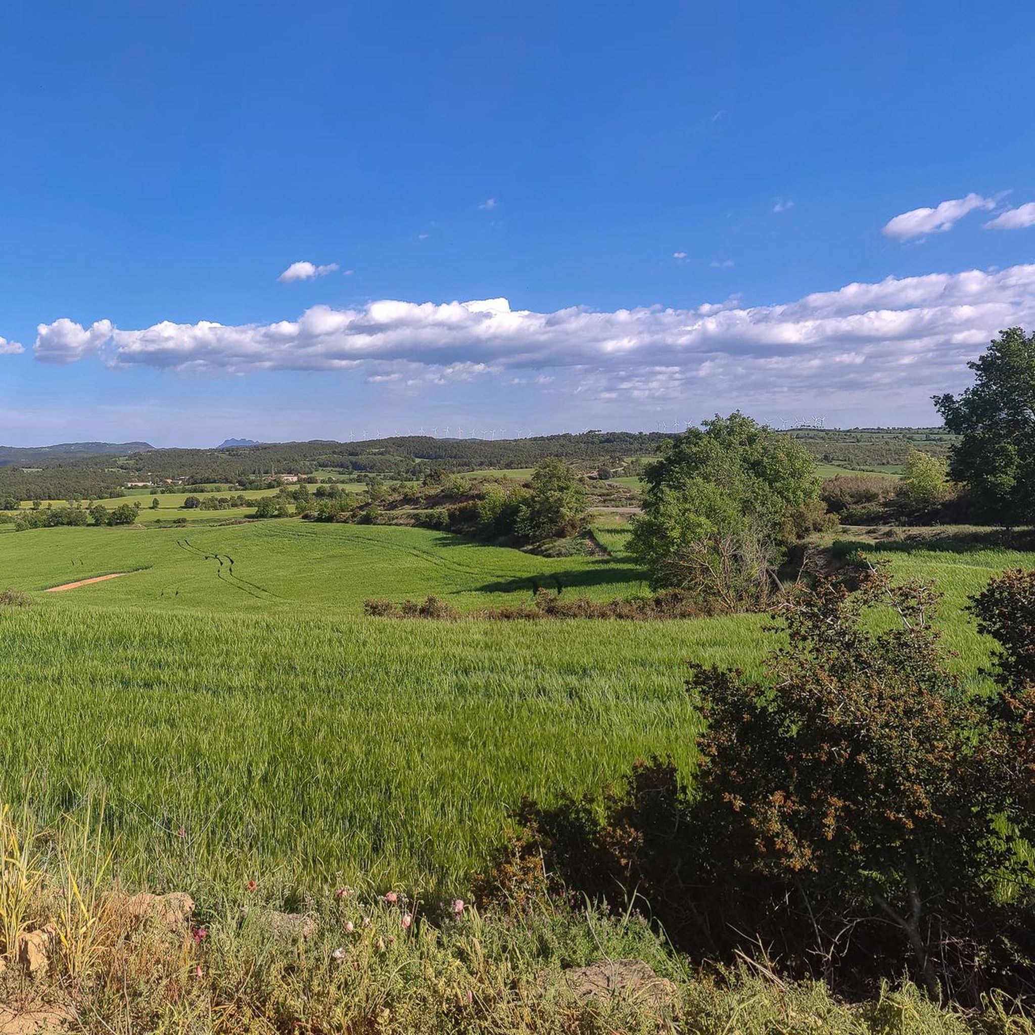
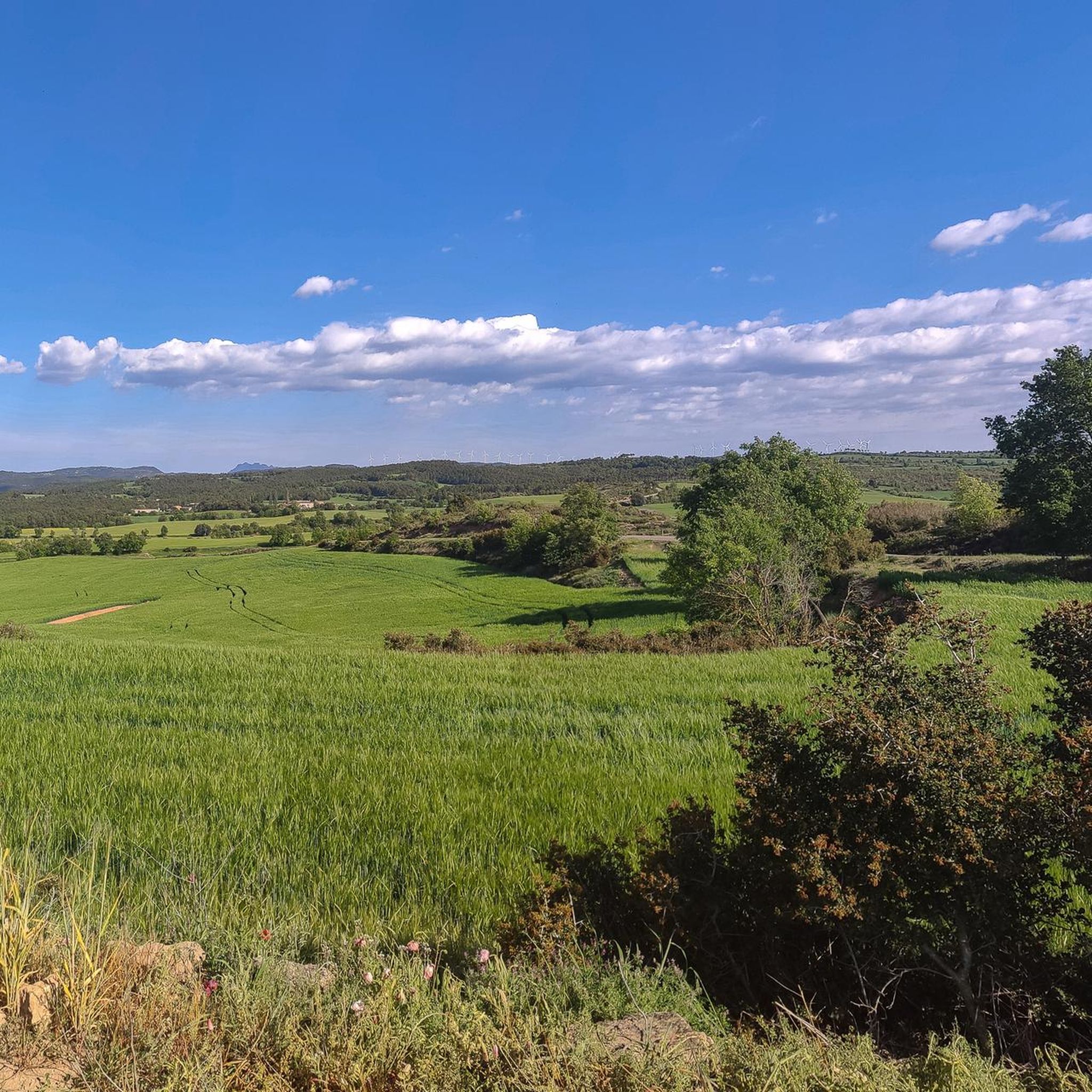
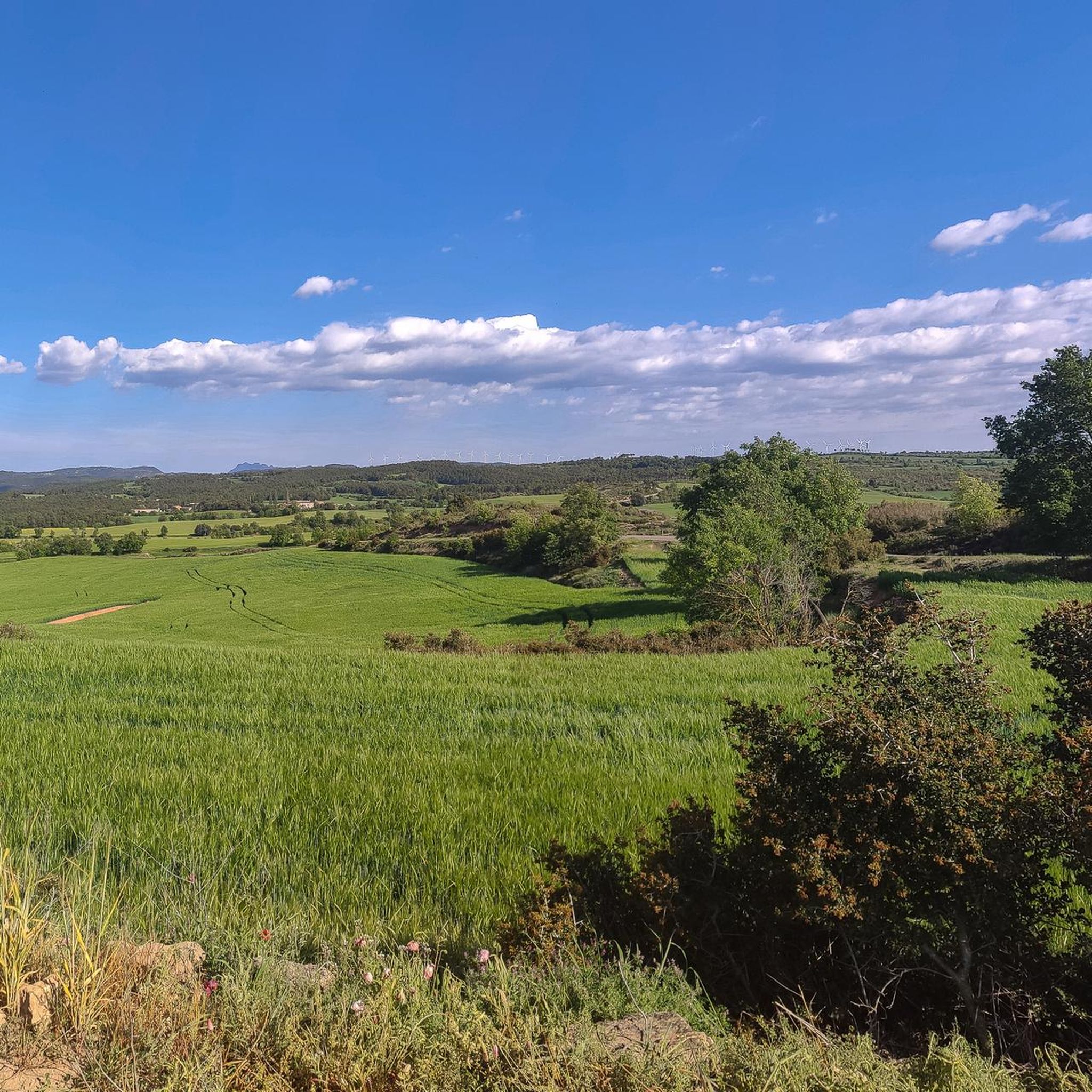
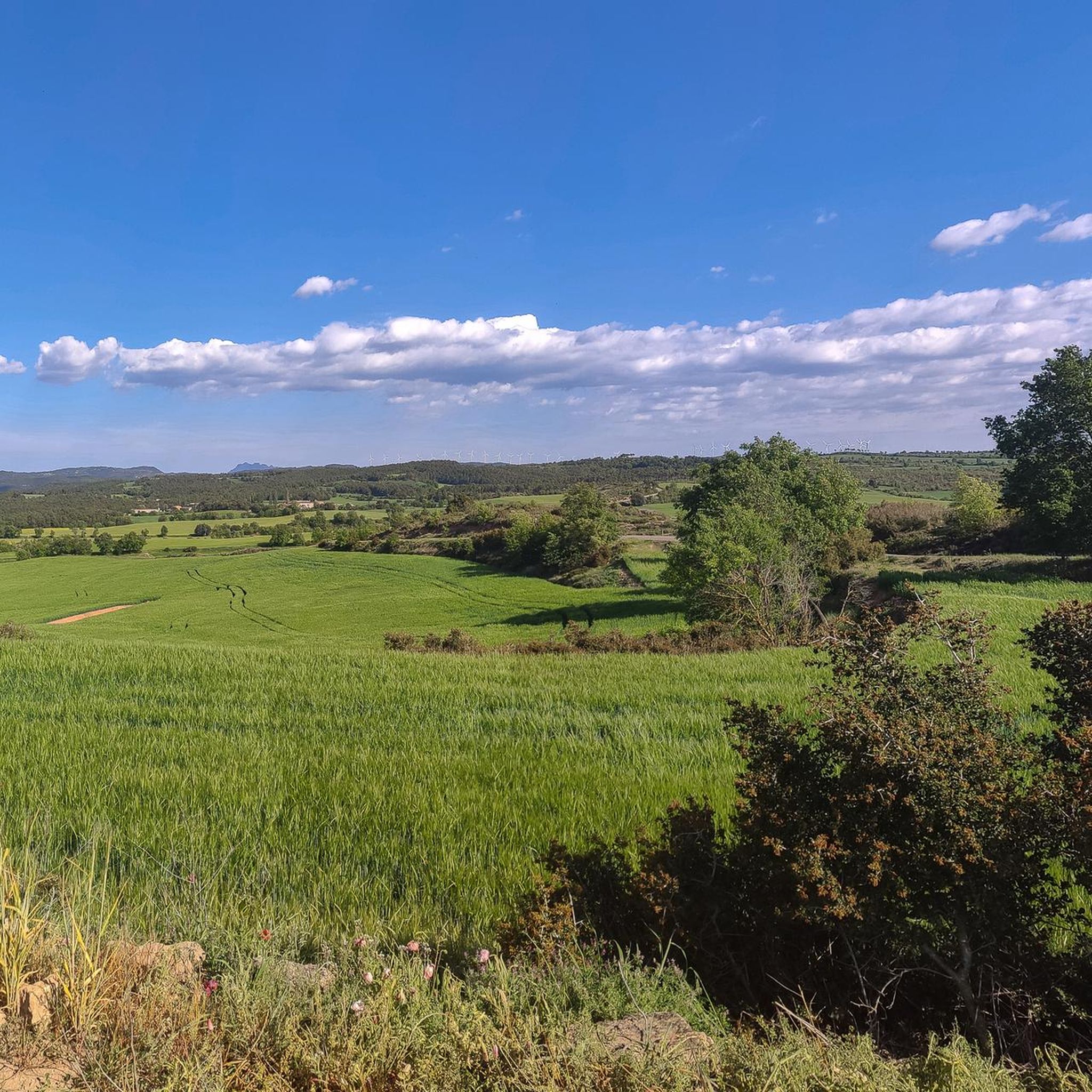
Jogging routes around Aguilar de Segarra traverse a varied topography of gentle hills, lush valleys, and dense forests. The region is characterized by natural inclines and descents, with an average elevation of 601 meters, offering diverse terrain for running. Natural features include the Riera de Rajadell, Puigpedrós peak, and the Còdol-rodon mountain range, providing scenic backdrops for running. This landscape offers a range of terrain elevation difficulty for trails, from moderate paths to more challenging routes.
Best jogging routes around…
Last updated: July 12, 2026
39
runners
14.3km
01:47
330m
330m
Hard run. Very good fitness required. Mostly paved surfaces. Suitable for all skill levels.
15
runners
15.3km
02:08
580m
580m
Hard run. Very good fitness required. Sure-footedness, sturdy shoes and alpine experience required.

Sign up for free
22
runners
6.22km
00:46
120m
120m
Moderate run. Good fitness required. Mostly paved surfaces. Suitable for all skill levels.
8
runners
18.4km
02:31
660m
660m
Hard run. Very good fitness required. Sure-footedness, sturdy shoes and alpine experience required.
8
runners
12.4km
01:37
410m
420m
Hard run. Very good fitness required. Mostly paved surfaces. Suitable for all skill levels.
Get access to more routes and recommendations from other explorers.
Sign up for free
Already have an account?
Our route recommendations are based on thousands of hikes, rides, and runs completed by other people on komoot.
Start today with a free account
Your next adventure awaits.
Login or Signup

Tips from the Community

The ascent to the castle and observatory of Castelltallat is one of the cycling classics of this sparsely populated area. In this mountain range there are only a few farmhouses, which contributes to the low light pollution and makes the installation of an observatory ideal. On the ascent, the views of Montserrat are spectacular.
1
0

I grew up there, long before the observatory and the archaeological works at the Castle. When we were little, it seemed to us that the idea that there was a castle behind the church was a chimera. When it was brought to light, it seemed like magic.
0
0
Historic center of Catalonia, more beautiful than the official one.
0
0


The summit is crowned by three large stainless steel crosses. A plaque informs that the UEC Anoia renewed the crosses on February 24, 1991 and that they were blessed by the rector of Castellfollit del Foix, Bishop Josep Maria Mas i Busqué. The views are similar to those of Cogulló, although from here we have an interesting full panorama of this peak and the ridge that joins both peaks.
0
0
peak of Cogulló de Cal Torre, a mountain included in the list of the 100 Peaks of the FEEC and bordering the municipalities of Rajadell and Castellfollit del Foix. At its summit, the ridges of the Serra del Colomer (which we climbed), the Serra de Cal Torre (parallel to the first and also called the Palomes on some maps), and the ridge of La Serra converge , through which we will continue the path. From the top we have magnificent views of Montserrat, Sant Llorenç, Montseny and part of Central Catalonia. But on clear days we can also see the Pyrenees, such as Pedraforca, Gallina Pelada or Cadí. At the top we will find a wooden fire watch house as well as a geodesic vertex (reference 277112001). This peak is one of the disputed points for the centrality of Catalonia, for which, every September 11, a very crowded gathering is held there. Unfortunately, the summit is accessible to motor vehicles, motorbikes but also all-terrain vehicles, which damages the balance of the environment.
0
0

This section, which runs between Molins and Rajadell, parallel to the train track, is well known and frequented by local cyclists.
0
0

Either on the way up or down, usually between Calaf and Manresa, it is a good point to refuel, hydrate and rest.
0
0
Frequently Asked Questions
What kind of terrain can I expect on the running routes around Aguilar de Segarra?
The running routes in Aguilar de Segarra feature a diverse topography, including gentle hills, lush valleys, and dense forests. You'll encounter natural inclines and descents, with the region's average elevation of 601 meters providing varied challenges. Expect trails that traverse through scenic natural features like the Riera de Rajadell, Puigpedrós peak, and the Còdol-rodon mountain range.
Are there running routes suitable for beginners or those looking for an easier run?
Yes, there are options for less strenuous runs. For example, the Running loop from els Prats de Rei is a moderate 3.9-mile (6.2 km) path that offers a less challenging option, winding through the local countryside. This route has minimal elevation changes, making it ideal for beginners or a relaxed jog.
How many running routes are available in the Aguilar de Segarra area?
There are over 20 running routes available around Aguilar de Segarra, catering to various fitness levels. These include 2 easy routes, 8 moderate routes, and 10 more difficult options, ensuring a suitable trail for almost every runner.
What historical landmarks or attractions can I see while jogging in Aguilar de Segarra?
Many routes integrate historical and natural attractions. You might pass by the impressive Castelltallat Castle (astronomical observatory), or other ancient structures like Castell de Boixadors and Rajadell Castle. The area also features traditional Catalan farmhouses (masías) and small rural settlements, offering a glimpse into the region's rich history and culture.
Are there any circular running routes in Aguilar de Segarra?
Yes, many of the routes are circular, allowing you to start and end at the same point. An example is the Necròpolis romana – Bec-eixut loop from els Prats de Rei, a 5.9-mile (9.4 km) trail that takes you through historical areas and natural surroundings in a convenient loop.
What is the best time of year to go running in Aguilar de Segarra?
The spring and early autumn seasons are particularly pleasant for outdoor activities like running in Aguilar de Segarra. During these times, temperatures are mild, and the landscapes are vibrant and green, making for a very enjoyable experience.
Are there any running routes that offer significant elevation changes for a more challenging workout?
Absolutely. For those seeking a challenge, routes like the Goberna loop from Espai d'interès natural de la Serra de Castelltallat are classified as difficult, featuring significant elevation changes and varied landscapes over 9.0 miles (14.5 km). Another challenging option is the Turó de les Tres Creus – Cogulló of Can Torra loop from Rajadell, which includes substantial ascents and descents.
Can I find places to eat or drink near the running trails in Aguilar de Segarra?
While specific cafes or pubs directly on the trails are rare, the municipality of Aguilar de Segarra and nearby towns offer various amenities. You'll find local cafes, bars, and restaurants where you can refuel after your run, often showcasing authentic Catalan cuisine.
Are the running trails in Aguilar de Segarra suitable for families?
Many of the trails are suitable for families, especially the easier and moderate options. Routes that are shorter and have less elevation gain, such as the Running loop from els Prats de Rei, are generally good choices for families looking to enjoy a jog together in nature.
What do other runners say about the trails in Aguilar de Segarra?
The komoot community highly regards the running routes in Aguilar de Segarra. Over 150 runners have used komoot to explore the varied terrain, often praising the picturesque backdrops, the mix of natural and historical sights, and the diverse range of difficulty levels available.
Are there any specific viewpoints or natural features to look out for on the running routes?
Yes, the region is rich in natural beauty. You can look out for the Riera de Rajadell, the Puigpedrós peak, and the Còdol-rodon mountain range, which all contribute to the scenic backdrop. For panoramic views, consider routes that pass by summits like Collbaix Summit or Cogulló of Can Torra.
Is parking available near the trailheads for running routes in Aguilar de Segarra?
Parking is generally available in or near the starting points of many routes, particularly in the main villages or designated natural areas. While specific parking details vary by trailhead, you can usually find suitable spots to leave your vehicle before heading out on your run.
Most popular routes around Aguilar De Segarra
Most popular attractions around Aguilar De Segarra

Get inspired with the komoot mobile app


Explore more
Browse the best Running Trails & Routes in other regions.
