The best walks and hikes around Benetússer
4.5
(1138)
13,297
hikers
457
hikes
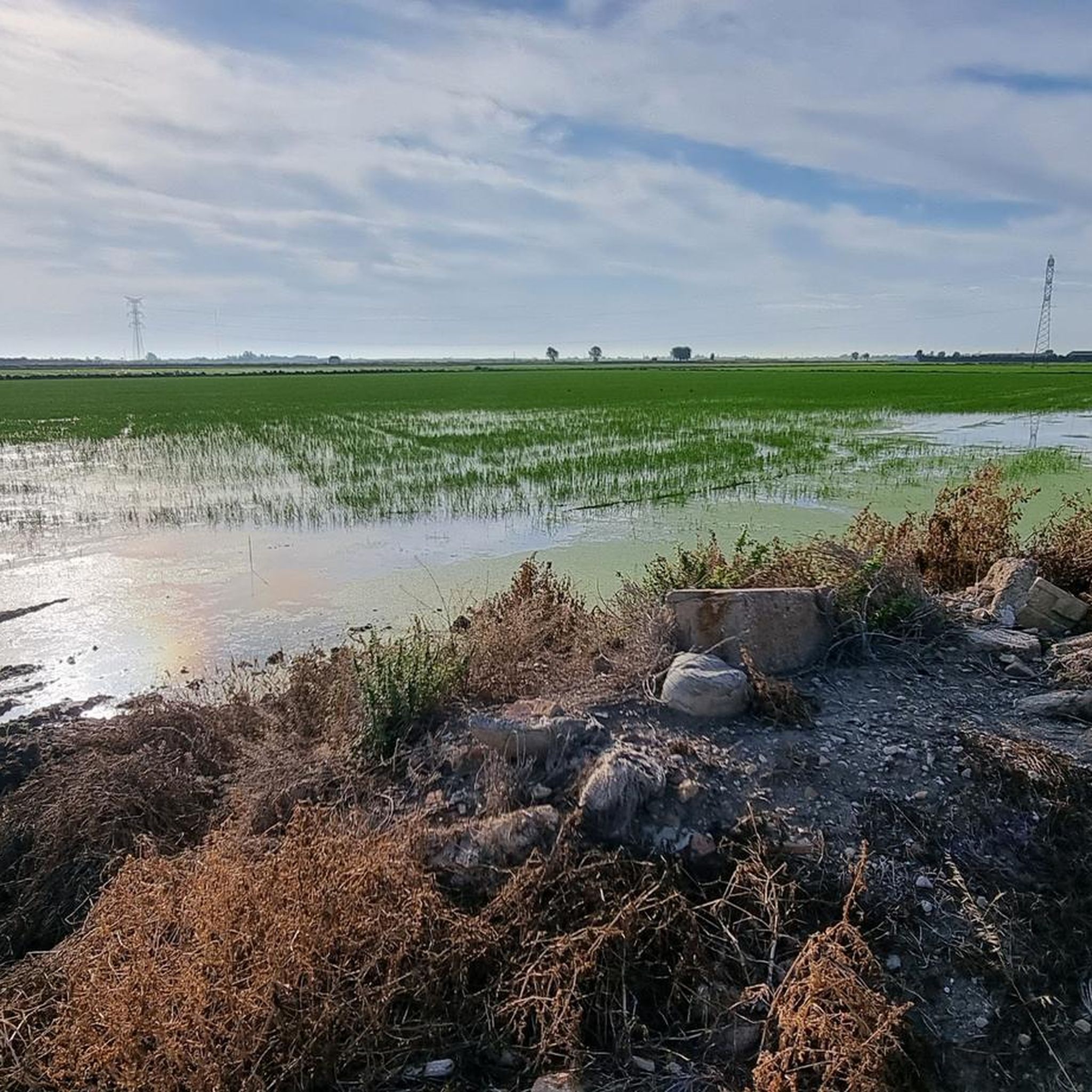
Hiking around Benetússer offers routes through a predominantly flat landscape, characterized by agricultural areas, particularly rice fields, and proximity to the Parc Natural de l'Albufera. The terrain features minimal elevation changes, making many trails accessible. The region's hiking trails often follow waterways and offer views of the local flora and fauna associated with wetland environments.
Best hiking trails around Benetússer
- The most popular hiking route is Port de Catarroja Rice Fields Loop, a 3.1 miles (5.0 km) trail that takes 1 hour 15 minutes to complete, offering views of the rice fields and the Port de Catarroja.
- Another top favourite among local hikers is Closed of the Pipa circular from Catarroja — Parc natural de l'Albufera, a moderate 8.5 miles (13.7 km) path. This route explores the natural park, featuring wetland scenery and a circular path.
- Local hikers also love the Real Bridge – Puente del Mar loop from Safranar, a 9.7 miles (15.7 km) trail leading through urban and riverine landscapes, often completed in about 3 hours 59 minutes.
- Hiking around Benetússer is defined by rice fields, natural park wetlands, and river-adjacent paths. The network offers options for different ability levels, from easy strolls to moderate excursions.
- The routes in Benetússer are highly rated by the komoot community with an average score of 4.6 stars from over 900 reviews. More than 9,900 hikers have used komoot to explore Benetússer's varied terrain.
Last updated: October 11, 2026
2.8
(4)
10
hikers
Moderate hike. Good fitness required. Easily-accessible paths. Suitable for all skill levels.
16
hikers
Moderate hike. Good fitness required. Easily-accessible paths. Suitable for all skill levels.

5.0
(1)
10
hikers
11.9km
03:00
10m
10m
Moderate hike. Good fitness required. Easily-accessible paths. Suitable for all skill levels.
6
hikers
Moderate hike. Good fitness required. Easily-accessible paths. Suitable for all skill levels.
8
hikers
Moderate hike. Good fitness required. Easily-accessible paths. Suitable for all skill levels.
Get access to more routes and recommendations from other explorers.
Already have an account?
Our route recommendations are based on thousands of hikes, rides, and runs completed by other people on komoot.
Start today with a free account
Your next adventure awaits.

Tips from the Community

Mural by Lluïsa Penella for the Progressive Women of Massanassa with the following text: From the mud, life. From the woman, strength. From the cares, people.
1
0
Mural by Pedro Mecinas (Dhos) that combines his murals of sparrows (on this occasion, a goldfinch, carduelis carduelis) with a message of hope after the catastrophe caused by the storm of October 29, 2024.
1
0

You always have to call and make a reservation to visit. Also, there's a "Temporarily Closed" sign, although it doesn't indicate the timeframe. You'll have to call.
1
0
Xolaka mural within the Caminart project.
1
0
Mural by Pedro Mecinas within the Caminart project.
1
0

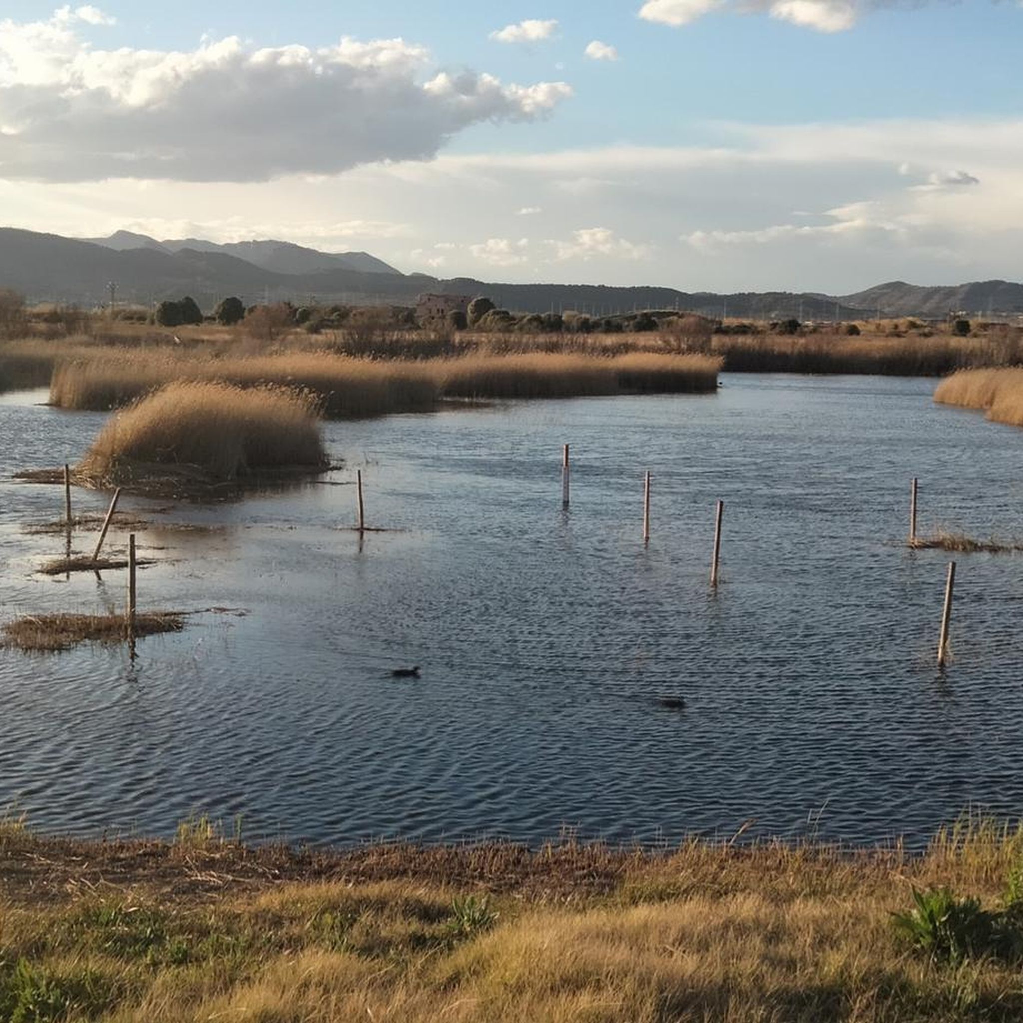
Tancat de la Pipa is a beautiful place for bird watching. A space to enjoy peace and tranquility, with guided tours or on your own. You must reserve the visit in advance by sending an email to visita@tancatdelapipa.net or by phone +34 608 74 68 65.
2
0
Located in the Plaça del Port. Author comments: Subject: environment. This work, located in the square called with the same name as the work, is in a neighborhood where the fishermen of the town traditionally resided. This activity, once so rooted in the town's tradition and now lost as it was known, as a resource for exploiting catarrh and catarrh, guaranteed that a sector of the population actively defended and prevented the Albufera from attacks on which nowadays is exposed. In addition, even though the craft as such has been lost, its culture lives on and has bequeathed to us things like traditional village songs to this day. Precisely a stanza of one of these songs can be read in the Albufera sky in this mural. - The anecdotes were very positive, especially regarding the interactions I had with occasional spectators. They made me feel that the work was well received by the public. - It should be mentioned that the lifting machine, which is usually used for these tasks, did not cause any problems, when, thanks to my experience, I can say that it is common for something to happen and delay the preparation of the work. - During the process, the City Council decided to expand the space that had initially been planned, extending and covering the entire structure with a most impactful result. Also, I used more paint than planned.
1
0
Mural by Pedro Mecinas, similar to the many he has in the marsh houses.
1
0
Frequently Asked Questions
How many hiking trails are available around Benetússer?
There are over 400 hiking routes around Benetússer, offering a wide variety of options for different skill levels and preferences. This includes more than 240 easy trails, 150 moderate routes, and a few more challenging excursions.
What is the terrain like for hiking in Benetússer?
The terrain around Benetússer is predominantly flat, characterized by extensive agricultural areas, especially rice fields, and proximity to the Parc Natural de l'Albufera. Trails often follow waterways, offering minimal elevation changes and views of wetland flora and fauna. It's ideal for relaxed walks.
Are there easy hiking options in Benetússer?
Yes, Benetússer is excellent for easy hikes, with over 240 routes classified as easy. Many trails feature minimal elevation gain and are suitable for a leisurely pace. An example is the The Sphinx of Sant Vicent loop from Jesús, which is an easy 6.9 km (4.3 miles) route.
Are there family-friendly walks in Benetússer?
Absolutely. The flat terrain and numerous easy routes make Benetússer very suitable for family walks. Many trails are short and offer interesting sights like rice fields and waterways, perfect for children. Consider routes like the Port de Catarroja Rice Fields Loop for a pleasant family outing.
Can I hike with my dog in Benetússer?
Yes, many trails around Benetússer are suitable for hiking with dogs. When exploring areas within the Parc Natural de l'Albufera, it's generally recommended to keep dogs on a leash to protect local wildlife and ensure a pleasant experience for all visitors. Always check local regulations for specific areas.
Are there circular hiking routes in Benetússer?
Many of the hiking routes in Benetússer are circular, allowing you to start and end at the same point without retracing your steps. A popular moderate circular route is the Closed of the Pipa circular from Catarroja — Parc natural de l'Albufera, which offers wetland scenery.
What kind of natural attractions can I see while hiking?
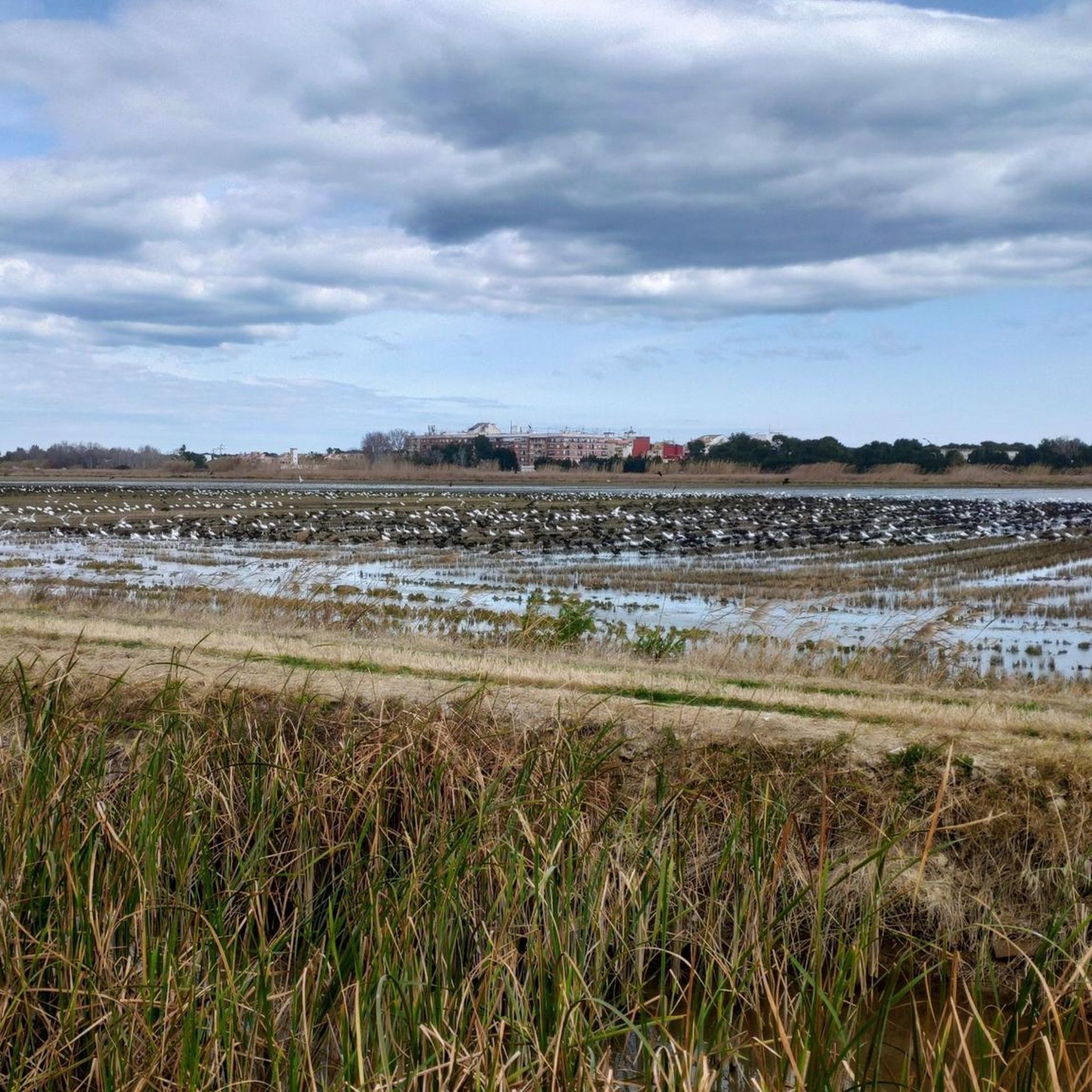
While hiking around Benetússer, you'll primarily encounter the unique wetland ecosystem of the Albufera Natural Park, known for its rice fields and diverse birdlife. You might also see the Port of Catarroja, a traditional fishing port, and the protected area of Tancat de la Pipa.
Are there any historical or cultural landmarks near the trails?
Yes, some routes may lead you close to historical or cultural points of interest. For example, the Real Bridge – Puente del Mar loop from Safranar passes near the Puente del Mar, a historic bridge. Other nearby attractions include the Plaza de la Virgen and Valencia Cathedral, though these are typically found in the urban center of Valencia, a short distance away.
What do other hikers say about the trails in Benetússer?
The hiking trails around Benetússer are highly regarded by the komoot community, with an average rating of 4.6 stars from over 900 reviews. Hikers often praise the peaceful atmosphere, the unique landscape of the rice fields, and the accessibility of the flat routes, making them enjoyable for all skill levels.
When is the best time to hike in Benetússer?
The best time to hike in Benetússer is typically during the spring (March to May) and autumn (September to November) months. During these periods, the weather is mild and pleasant, avoiding the intense heat of summer and the cooler, sometimes wetter, winter months. Spring also offers vibrant green landscapes as the rice fields begin to grow.
Is parking available for hikers near the trailheads?
Parking availability varies depending on the specific trailhead. For routes starting in or near urban areas like Benetússer or Catarroja, you can often find street parking or public car parks. When venturing into the Parc Natural de l'Albufera, designated parking areas are usually available near popular access points, though they can fill up during peak times.
What should I bring for a hike in Benetússer?
Given the flat terrain and often sunny conditions, it's advisable to bring plenty of water, sun protection (hat, sunscreen), and comfortable walking shoes. Depending on the season, a light jacket might be useful. Binoculars can enhance your experience, especially for birdwatching in the Albufera Natural Park.
Most popular routes around Benetússer
Most popular attractions around Benetússer

Get inspired with the komoot mobile app


Explore more
Browse the best Hikes in other regions.
