The best walks and hikes around Santa Gadea Del Cid
4.4
(240)
1,546
hikers
153
hikes
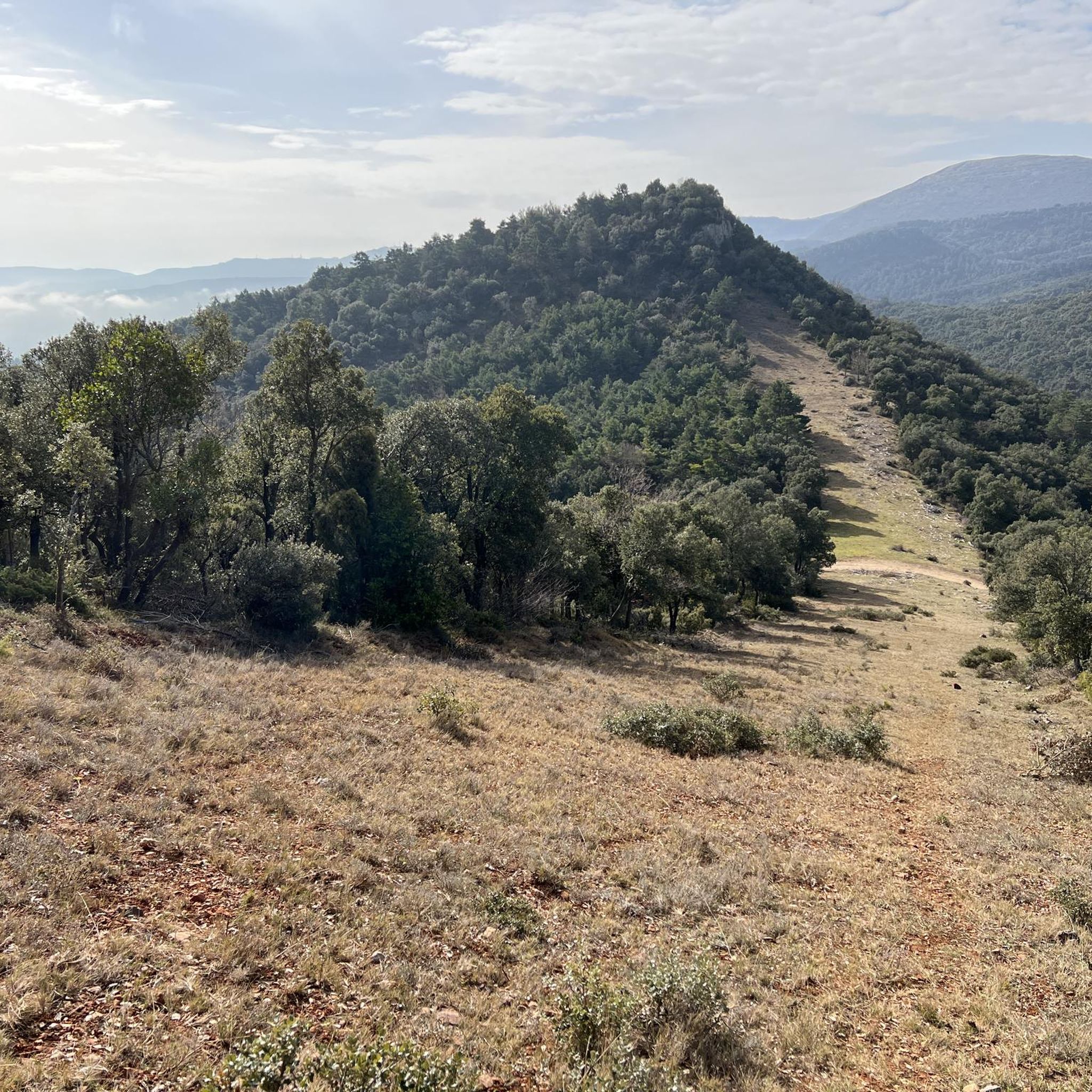
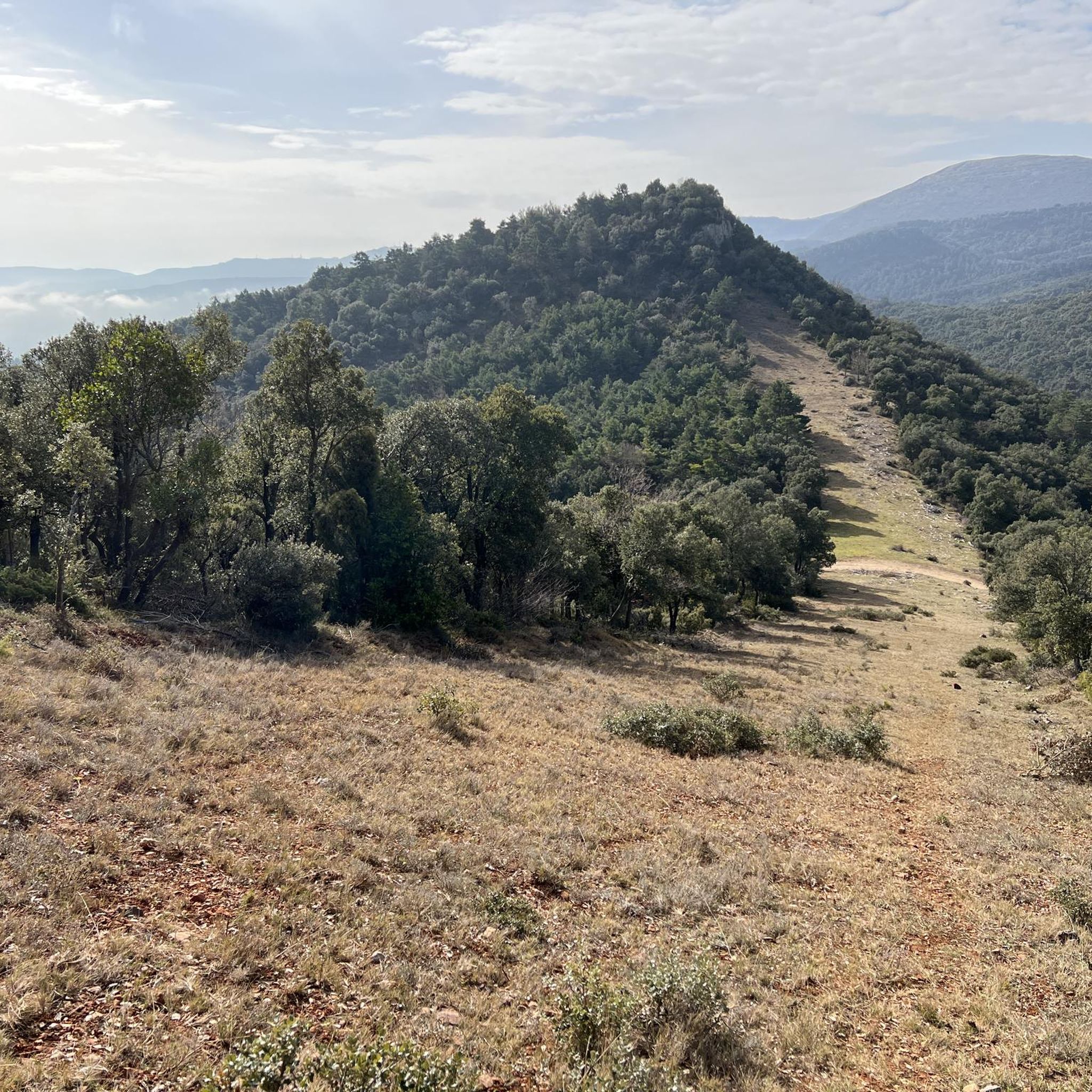
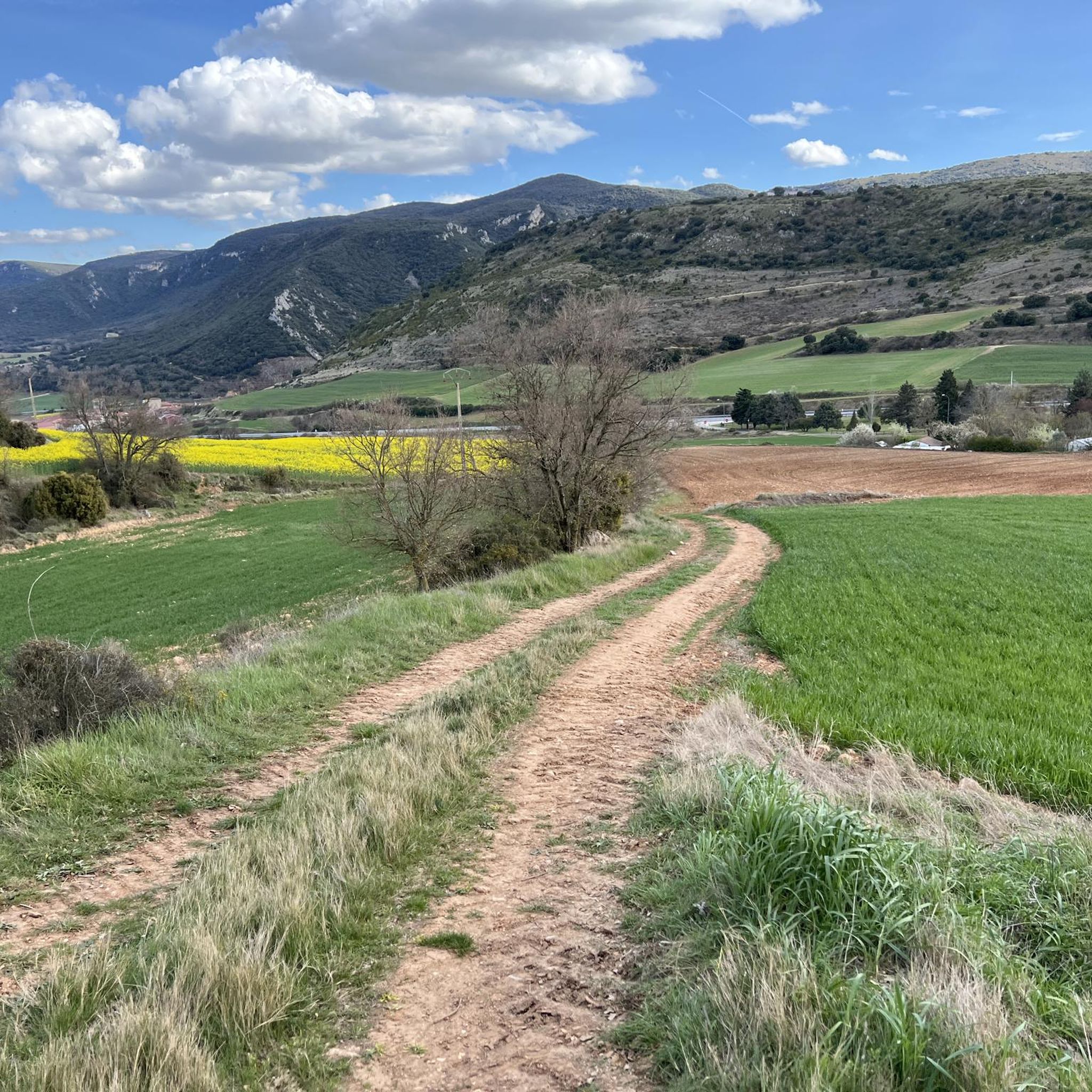
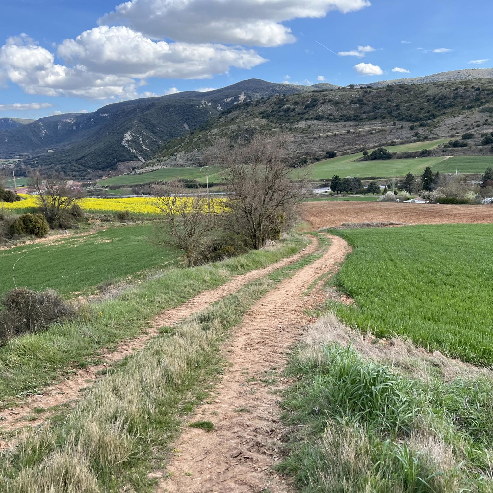
Hiking around Santa Gadea Del Cid offers diverse terrain within the Montes Obarenes-San Zadornil Natural Park. The region features a mix of hills, valleys, and forested areas, providing varied elevation changes for hikers. Trails often lead through natural landscapes, showcasing the local flora and geological formations. The area provides opportunities for both gentle walks and more challenging ascents.
Best hiking trails around Santa Gadea Del Cid
- The most popular hiking route is Alto de Valcaliente - from Bozoó — circular…
Last updated: July 2, 2026
5.0
(1)
3
hikers
Moderate hike. Good fitness required. Mostly accessible paths. Sure-footedness required.
10.3km
03:05
330m
330m
Moderate hike. Good fitness required. Easily-accessible paths. Suitable for all skill levels.

Sign up for free
17.1km
05:24
620m
620m
Hard hike. Very good fitness required. Mostly accessible paths. Sure-footedness required.
5.0
(2)
20
hikers
5.94km
01:35
70m
70m
Easy hike. Great for any fitness level. Easily-accessible paths. Suitable for all skill levels.
10
hikers
10.6km
03:30
500m
500m
Moderate hike. Good fitness required. Easily-accessible paths. Suitable for all skill levels.
Get access to more routes and recommendations from other explorers.
Sign up for free
Already have an account?
Our route recommendations are based on thousands of hikes, rides, and runs completed by other people on komoot.
Start today with a free account
Your next adventure awaits.
Login or Signup

Tips from the Community

Simple and with very good views.
0
0
Coming from Alto del Baragón and Peña las Yeguas.
1
0
Nice summit and nice path, and the views, couples.
3
0
Beginning of the route to the Bell Towers.
2
0
Metallic footbridge that joins the two banks of the Ebro as it passes through Sobrón.
3
0
Small cave with a beautiful gated entrance.
2
0
Splendid viewpoint to see the river and the mountains that surround it.
2
0
It is surprising to see this old bridge destroyed. Nearby they have made a metal footbridge to cross the river.
2
0
Frequently Asked Questions
How many hiking trails are available around Santa Gadea Del Cid?
There are nearly 160 hiking trails around Santa Gadea Del Cid, offering a wide range of options for different skill levels and preferences. This includes 29 easy routes, over 100 moderate trails, and 27 difficult paths for experienced hikers.
Are there easy or family-friendly hiking options in Santa Gadea Del Cid?
Yes, Santa Gadea Del Cid offers 29 easy hiking routes suitable for families and beginners. A good option is the FuenteDeLaSalud – New Bridge loop from Bomberos, which is just under 6 km long and features minimal elevation gain, making it a pleasant walk for all ages.
What kind of challenging hikes can I find in the area?
For those seeking a challenge, there are 27 difficult trails around Santa Gadea Del Cid. The Barbalantes and Valcavado Peak Trail is a demanding 17.1 km route with significant elevation gain, leading to expansive views from the peaks.
Are there circular hiking routes available?
Many of the trails in Santa Gadea Del Cid are circular, allowing you to start and end at the same point. An example is the Alto de Valcaliente - from Bozoó — circular through the Montes Obarenes-San Zadornil Natural Park, a moderate 12.1 km loop that explores the natural park's varied landscape.
What are some notable natural attractions or viewpoints along the trails?
The region, part of the Montes Obarenes-San Zadornil Natural Park, offers several natural highlights and viewpoints. You can find stunning vistas from Cruz de Motrico and reach summits like Peñalrayo and Humion, which are often included in longer routes.
Is Santa Gadea Del Cid suitable for dog-friendly hiking?
Yes, the natural landscapes and varied trails around Santa Gadea Del Cid are generally suitable for hiking with dogs. Many routes pass through forested areas and open terrain, providing ample space for pets. Always ensure your dog is on a leash where required and respect local wildlife.
What is the best time of year to go hiking in Santa Gadea Del Cid?
The best time to hike in Santa Gadea Del Cid is typically during spring and autumn when the weather is mild and the natural scenery is vibrant. Summer can also be pleasant, especially in the mornings or late afternoons, but be prepared for warmer temperatures. Winter hiking is possible, but some higher elevation trails might be more challenging due to conditions.
Are there any historical or cultural landmarks to see near the hiking trails?
Beyond natural beauty, the area features some interesting landmarks. The Hermitage of San Juan del Monte is a notable religious building that can be encountered on some routes. Additionally, the unique Salinas de Añana, an ancient salt valley, is a significant man-made monument in the broader region.
What do other hikers say about the trails in Santa Gadea Del Cid?
The hiking routes in Santa Gadea Del Cid are highly regarded by the komoot community, with an average rating of 4.3 stars from over 190 reviews. Hikers often praise the diverse terrain, the peaceful natural park environment, and the well-maintained paths that cater to various ability levels.
Is public transport available to access hiking trailheads?
While Santa Gadea Del Cid is a rural area, public transport options might be limited directly to all trailheads. It's advisable to check local bus schedules for connections to nearby villages like Bozoó or Ameyugo, which serve as starting points for routes such as the Alto de Valcaliente – Recuenco loop from Bozoó. Driving and parking are often the most convenient ways to reach many trail starts.
Where can I find parking for the hiking trails?
Parking is generally available in or near the villages that serve as trailheads, such as Bozoó or Ameyugo. For specific routes, it's recommended to check the route details on komoot, as many tours provide information on designated parking areas close to the starting point.
Most popular routes around Santa Gadea Del Cid
Most popular attractions around Santa Gadea Del Cid

Get inspired with the komoot mobile app


Explore more
Browse the best Hikes in other regions.
