The 8 Most Amazing Peaks around Sayalonga
Best mountain peaks around Sayalonga are characterized by hilly terrain and proximity to significant mountain ranges. The town itself features La Rabita, its highest peak at 672 meters, offering extensive vistas over the surrounding landscape. Sayalonga's location within the Axarquía comarca also places it near the larger natural parks of the Sierras of Tejeda, Almijara, and Alhama, which include peaks like La Maroma. This region provides diverse opportunities for outdoor enthusiasts to experience mountainous environments.
Best mountain peaks around Sayalonga
…Last updated: June 29, 2026
La Maroma Summit
Highlight • Summit
Translated by Google •
Tip by

El Fuerte Peak
Highlight • Summit
Translated by Google •
Tip by

Sign up now to discover places like this
Get recommendations on the best single tracks, peaks, & plenty of other exciting outdoor places.
Sign up for free
View of La Maroma Massif and Gorge
Highlight • Viewpoint
Translated by Google •
Tip by

Cerro Verde
Highlight • Summit
Tip by

El Macho Marble Quarry
Highlight • Structure
Translated by Google •
Tip by

Sign up for free to discover even more peaks around Sayalonga.
Sign up for free
Already have an account?
Start today with a free account
Your next adventure awaits.
Login or Signup

Tips from the Community

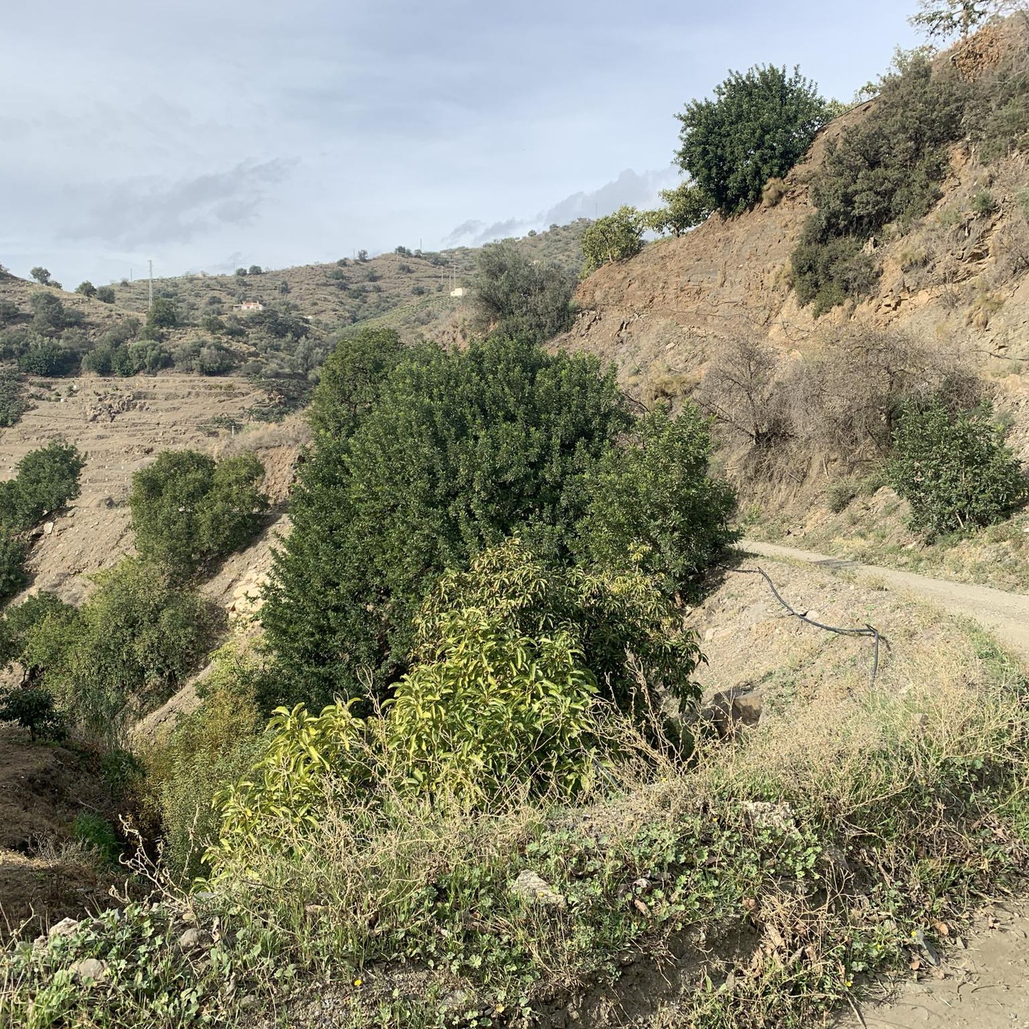
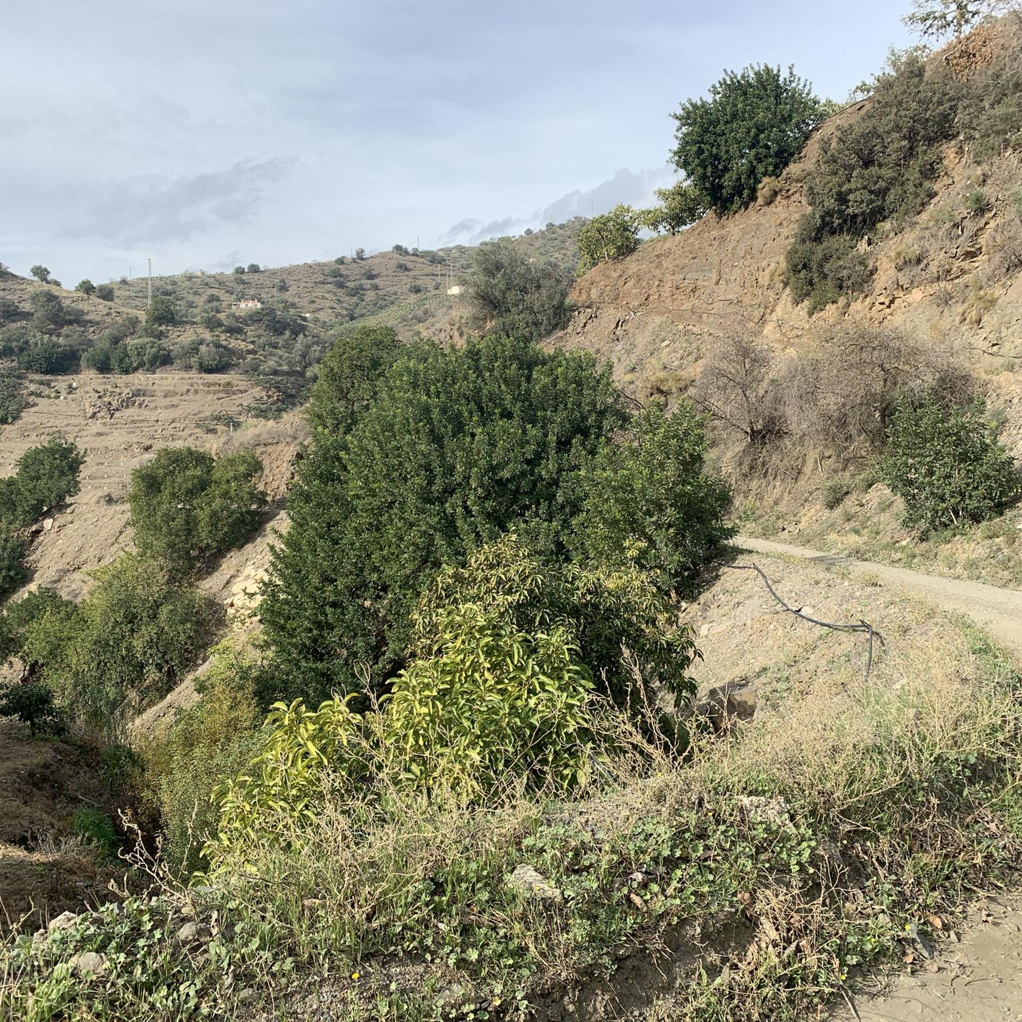
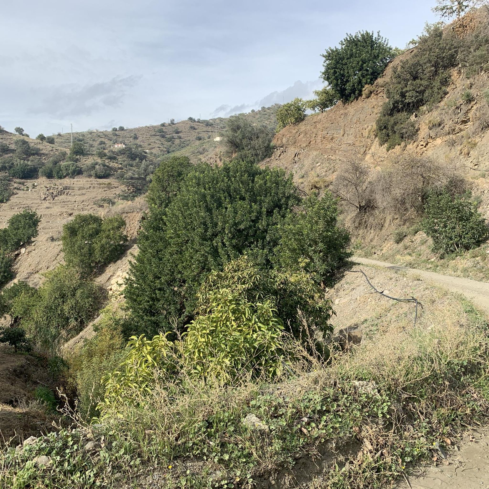
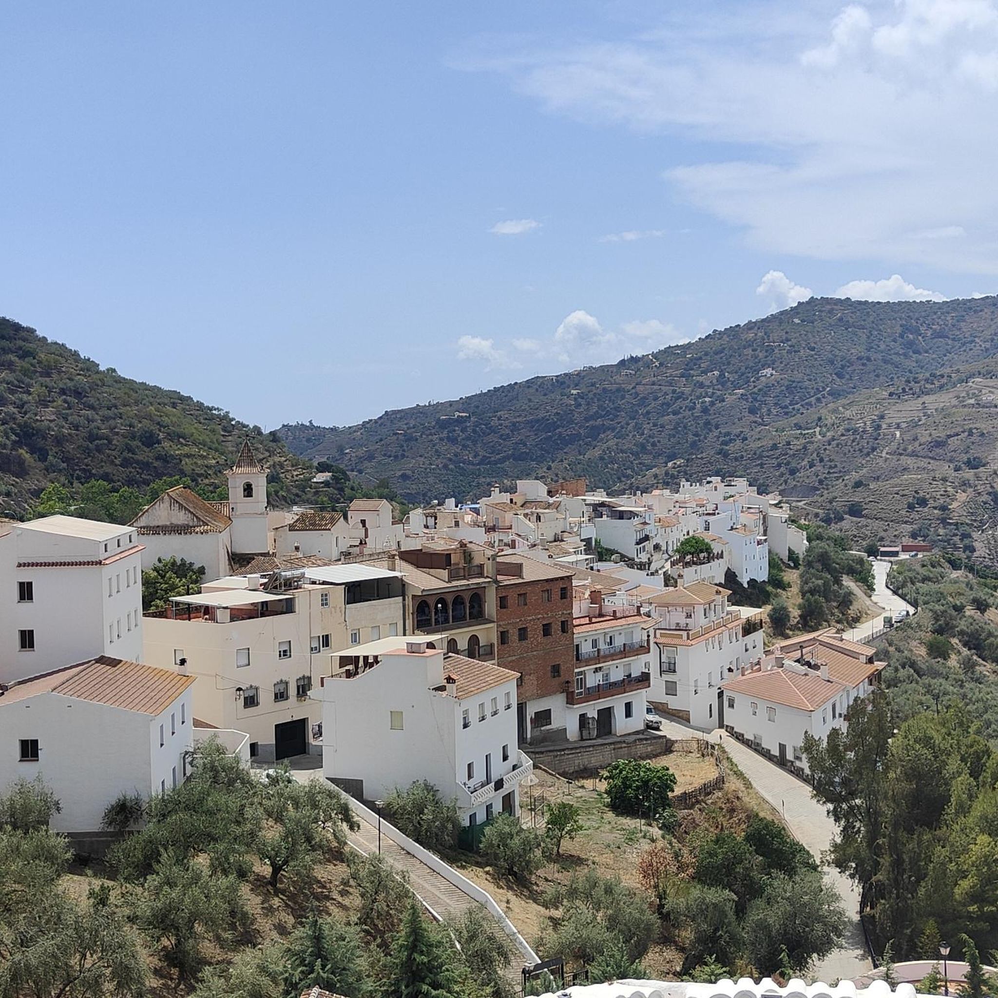
Cerro Verde is a prominent hill in the Axarquía, offering wide views of the surrounding mountains and valleys. Located on the edge of the Sierras de Tejeda, Almijara y Alhama Natural Park, it forms part of the transition between the cultivated landscapes of the Axarquía and the rugged terrain of the higher sierras. The area is characterised by Mediterranean vegetation, traditional terraced agriculture, and a network of historic paths that have connected local communities for centuries.
0
0

Descent very steep in several places, with high steps down. Finding the way challenging at a few points, but doable with Komoot. Speed sometimes 2 km/h
0
0
Take plenty of water and good shoes. A great hike, with great views.
0
1
The views are spectacular; the climb is worth it.
0
2

To reach the parking lot at Llanadas de Sedella requires a vehicle with 4-wheel drive like a Land Rover Defender. There are gates that might be closed so you must check with the park authorities beforehand - not much space to turn the vehicle around on this narrow road. Once there the view is stunning with horses grazing around. But be cautious! The recommended track we took to reach the top are for expert hikers. Some parts are very steep (>35%) with loose stones. If you suffer from vertigo, avoid! You need support by both hands at time. It’s not an official track but rather a path used by sheep, whose poo indicate that you are on the right track. (There is a northern track that serpentines its way up that might be more convenient). But once you are on the white-green path originating from the Fuentes del Robledal it’s ok. You are exposed to strong winds and no shelter from the sun. Bring lot’s of water and calculate 6hrs return hike. Once you have reached the top of la Maroma you will have a fantastic view over Andalucia with the Sierra Nevada at your back and Gibraltar in front.
2
2

Ignore the directions. There are hardly any parking spaces and the entrance to the senda is simply adventurous. Better to follow the signs from the Plaza de constitution center. And be careful: the path along the moat is NOT for people who are not sure-footed and have a head for heights. We are reversed🙈
3
1

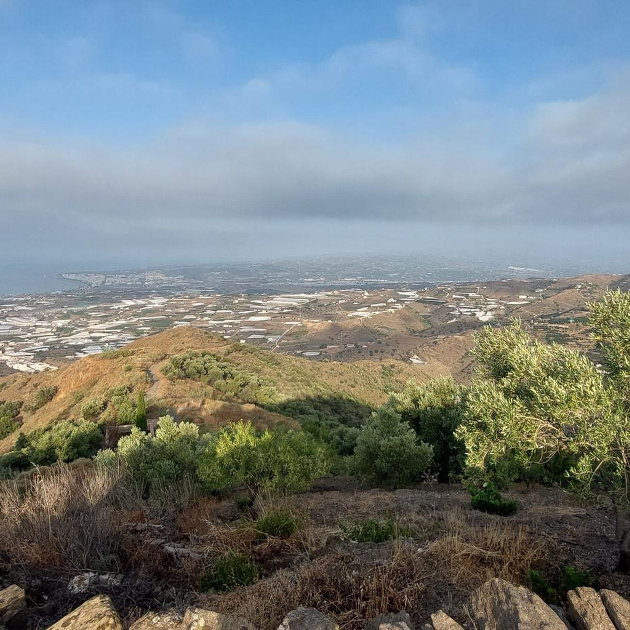
Once you have reached the top of the Maroma peak. Pico de malaga we can see fabulous views of the coast and sierras de malaga as well as the Moroccan coasts when the day is clear
1
1
It is a pity to go through this point and stop to drink water from the fountain and appreciate the old El Macho marble quarry in the Sierra de Competa
1
0
Frequently Asked Questions
What is the most prominent mountain peak directly within Sayalonga?
The most prominent mountain peak directly within Sayalonga is La Rabita. Reaching an elevation of 672 meters, it offers extensive panoramic views over the surrounding landscape and is a popular destination for hikers with a dedicated route to its summit.
Which peaks around Sayalonga offer the best panoramic views?
For exceptional panoramic views, consider visiting El Fuerte Peak. Another must-see is La Maroma Summit, which provides stunning 360° views, including the Alboran Sea on clear days. La Rabita, within Sayalonga itself, also offers superb vistas.
What is the highest mountain peak in the wider region near Sayalonga?
The highest mountain peak in the wider region near Sayalonga is La Maroma Summit. It is the highest point in the Sierra de Tejeda mountain range, reaching over 2000 meters, and is the highest peak in the province of Malaga.
Are there challenging mountain hikes for experienced trekkers near Sayalonga?
Yes, for experienced trekkers, the ascent to La Maroma Summit is considered challenging due to its elevation and terrain. El Fuerte Peak also offers an intermediate to challenging climb with rewarding views. Always plan ahead and bring sufficient food and water for these routes.
What natural features can I expect to see when hiking the peaks around Sayalonga?
When hiking the peaks around Sayalonga, you can expect to see diverse natural features. From View of La Maroma Massif and Gorge, you'll get a perspective of the mighty La Maroma massif and its dramatic gorge. The region is characterized by hilly terrain, offering a mix of rugged landscapes and extensive vistas.
What is the best time of year to hike the mountain peaks near Sayalonga?
The best time of year to hike the mountain peaks near Sayalonga is typically outside of the hottest summer months. A visitor tip for Hawk Hill suggests avoiding June, July, and August due to intense heat. October was noted as beautiful, despite potential Sahara dust. Planning for cooler temperatures is advisable.
Are there any historical sites or unique geological features to discover on these mountain trails?
Yes, you can discover unique features like the El Macho Marble Quarry, an old marble quarry in the Sierra de Competa, which offers a glimpse into the region's past. La Maroma Summit itself has historical significance, with its name derived from ropes used to lower snow from a natural chasm.
What do visitors enjoy most about the mountain peaks around Sayalonga?
Visitors particularly enjoy the exceptional panoramic views offered by peaks like El Fuerte Peak and the 360° vistas from La Maroma Summit. The natural beauty and the opportunity for challenging climbs are also highly appreciated, with the komoot community sharing over 150 photos and giving more than 70 upvotes to these locations.
What other outdoor activities can I do near the mountain peaks of Sayalonga?
Beyond hiking, the area around Sayalonga offers excellent opportunities for cycling. You can explore various routes for touring bicycles, gravel biking, and road cycling. For more details on these activities, check out the guides for Cycling around Sayalonga, Gravel biking around Sayalonga, and Road Cycling Routes around Sayalonga.
Are there specific viewpoints that are easily accessible or particularly rewarding?
While many peaks offer rewarding views, the View of La Maroma Massif and Gorge is a notable viewpoint that provides a stunning perspective of the highest mountain in Malaga and its dramatic gorge. Accessing it might involve adventurous paths, so sure-footedness is recommended.
What should I consider regarding footwear and clothing for hiking in this region?
For hiking in the Sayalonga mountain region, solid shoes are highly recommended. Additionally, wearing long pants can be beneficial to avoid uncomfortable encounters with gorse, as noted by visitors to El Fuerte Peak. Always consider the weather and temperature, especially at higher altitudes like La Maroma Summit, where conditions can differ significantly.
Most popular routes around Sayalonga
Most popular attractions around Sayalonga

Get inspired with the komoot mobile app


Explore more
See even more amazing summits around Sayalonga with these guides:
