The best walks and hikes around La Sotonera
4.4
(241)
2,086
hikers
153
hikes
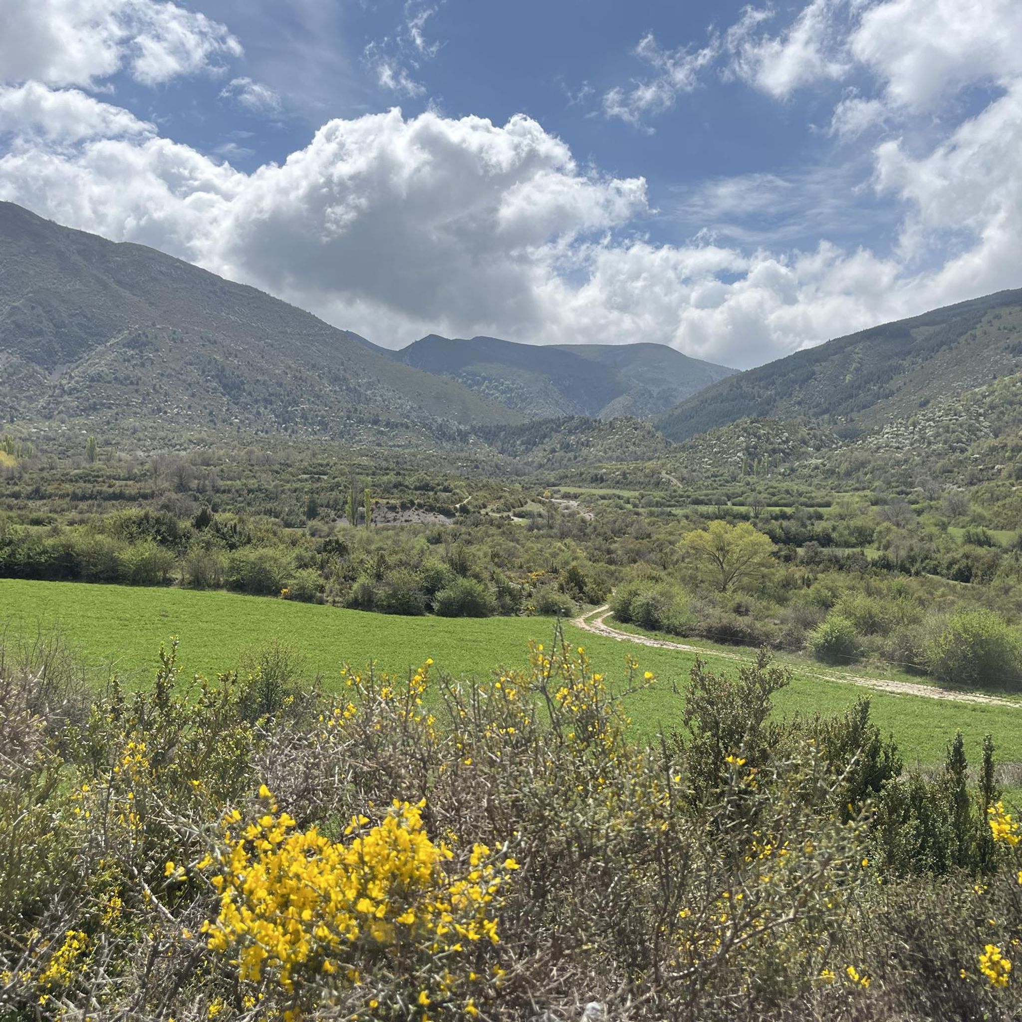
Hiking around La Sotonera offers a diverse landscape for outdoor exploration. The region is characterized by its prominent reservoir, the Embalse de la Sotonera, which provides a central feature for many routes. Surrounding terrain includes varied hills, such as those near Punta Peiró, and areas of natural forest like the Peiró Beech Forest. Hikers can also discover geological formations, including gorges, which add to the area's natural appeal.
Best hiking trails around La Sotonera
- The most popular hiking route is…
Last updated: July 4, 2026
4.3
(22)
125
hikers
9.40km
02:52
300m
300m
Moderate hike. Good fitness required. Easily-accessible paths. Suitable for all skill levels.
4.2
(5)
70
hikers
11.4km
03:13
250m
250m
Moderate hike. Good fitness required. Easily-accessible paths. Suitable for all skill levels.

Sign up for free
4.3
(6)
52
hikers
4.85km
01:35
210m
210m
Easy hike. Great for any fitness level. Easily-accessible paths. Suitable for all skill levels.
4.5
(6)
52
hikers
6.03km
02:22
420m
420m
Moderate hike. Good fitness required. Easily-accessible paths. Suitable for all skill levels.
5.0
(5)
38
hikers
7.89km
02:56
490m
490m
Moderate hike. Good fitness required. Easily-accessible paths. Suitable for all skill levels.
Get access to more routes and recommendations from other explorers.
Sign up for free
Already have an account?
Our route recommendations are based on thousands of hikes, rides, and runs completed by other people on komoot.
Start today with a free account
Your next adventure awaits.
Login or Signup
Popular around La Sotonera
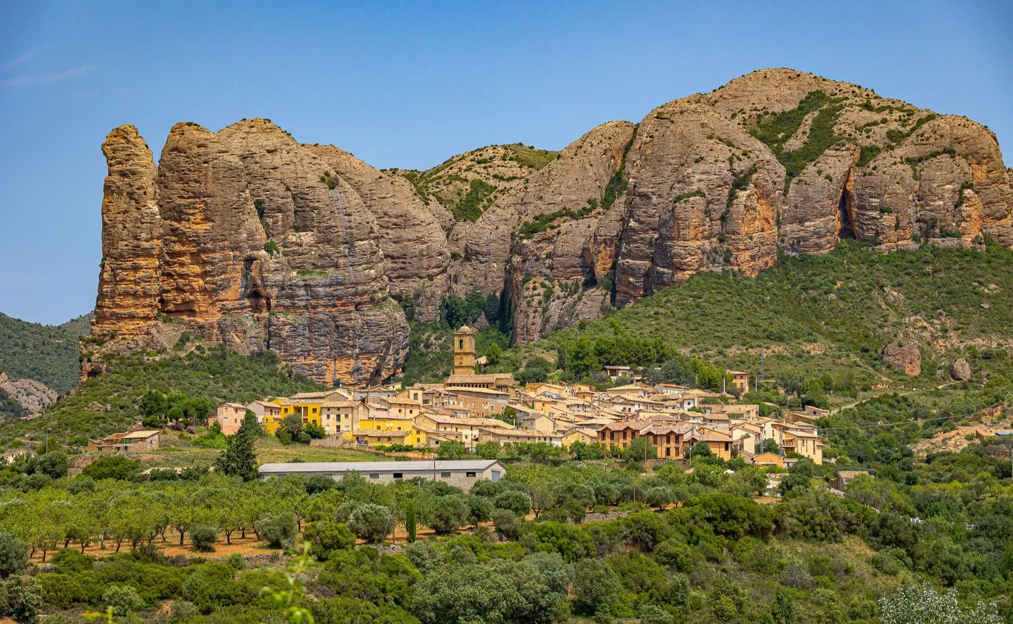
Hiking between geology and history – GR1 in Aragón
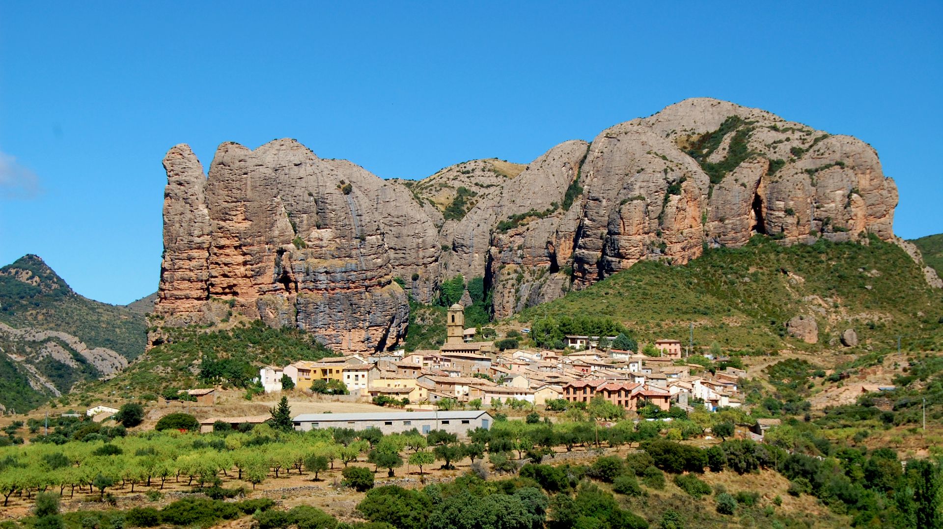
Land of rock and water – Sendero Histórico en Aragón
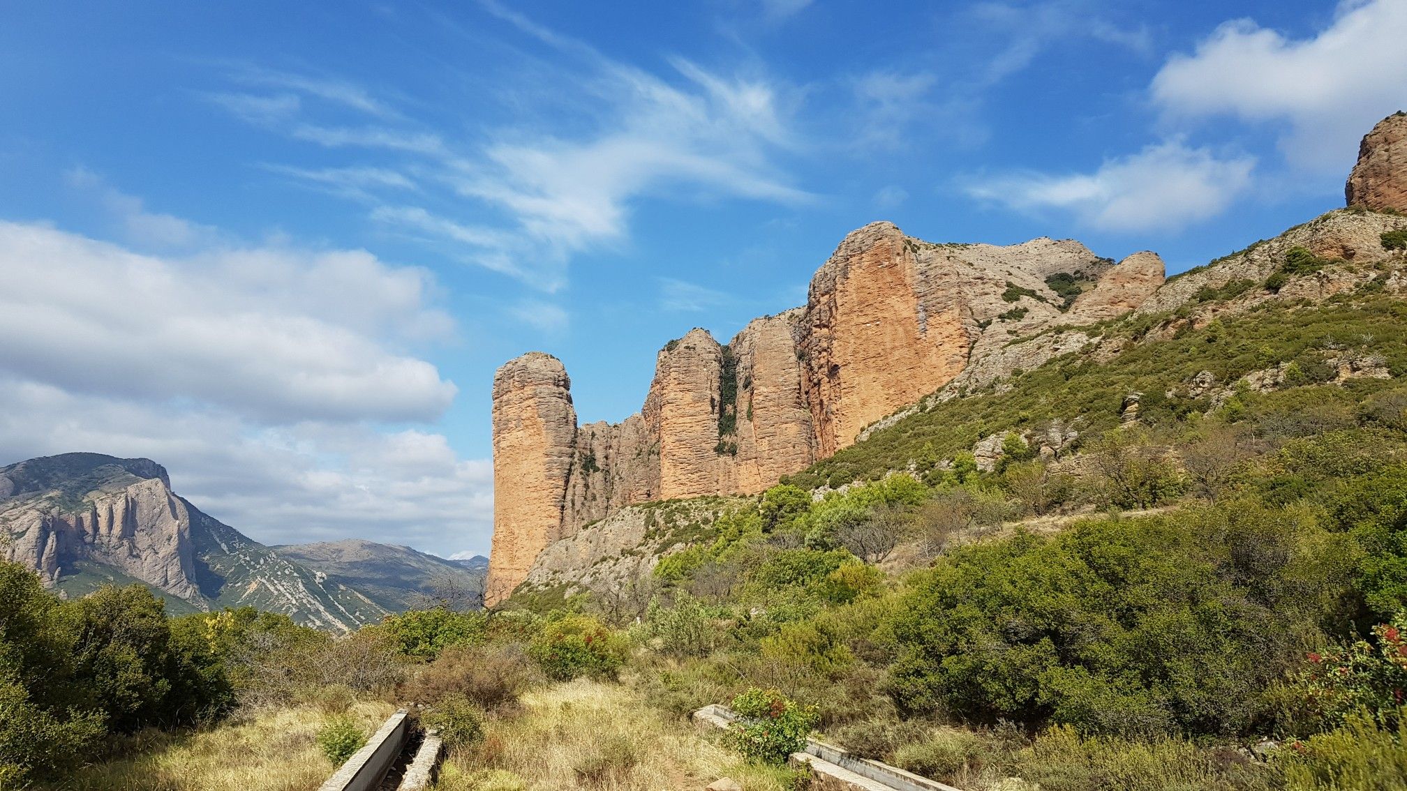
Monumental landscapes and culture — the Pre-Pyrenees by MTB
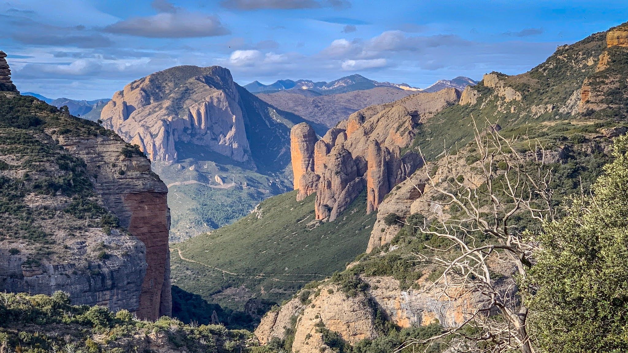
Gravel and geology – Huesca Valley nature trail
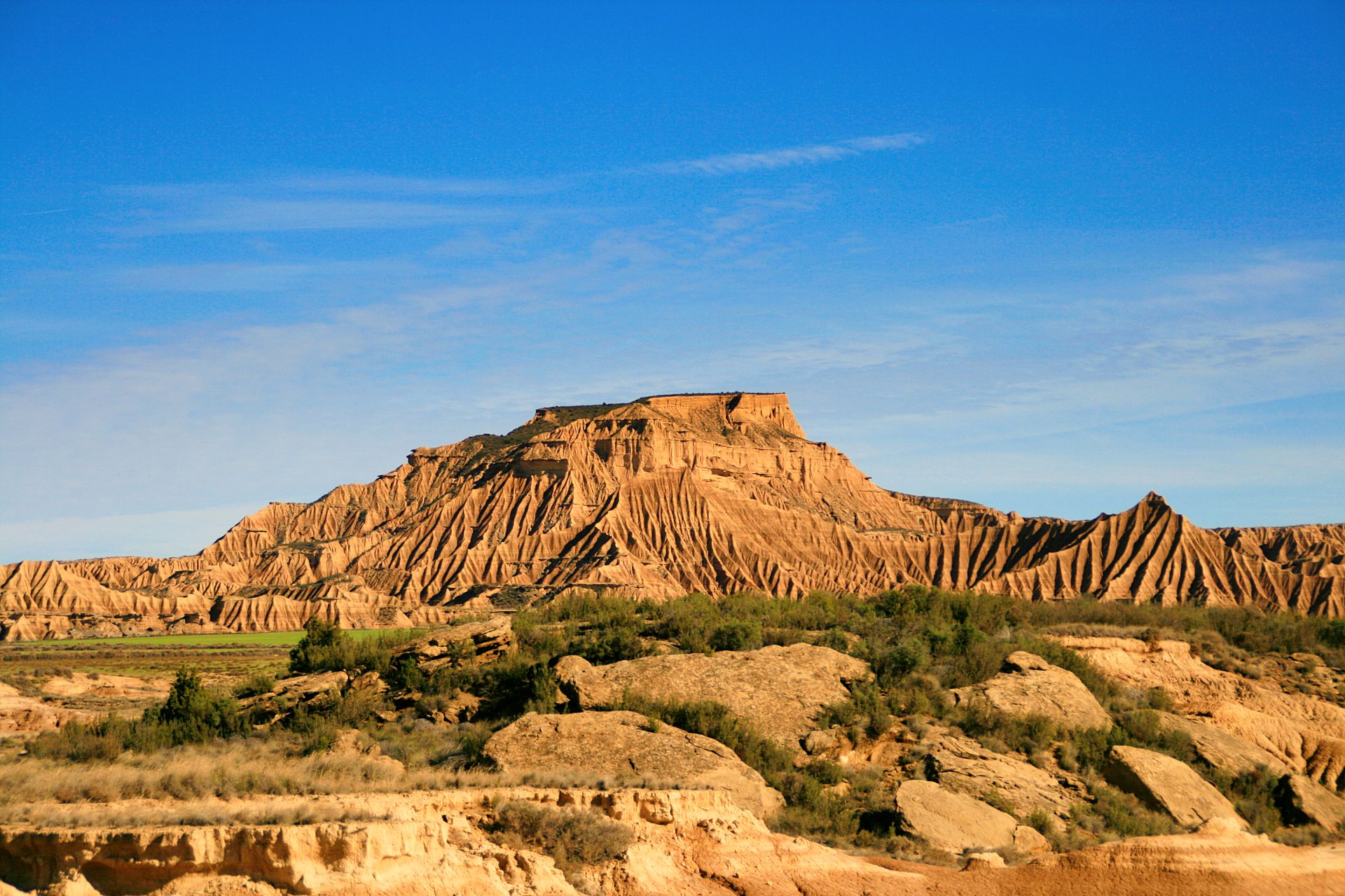
Spain’s Wild West – Sierra de Guara to the Bardenas
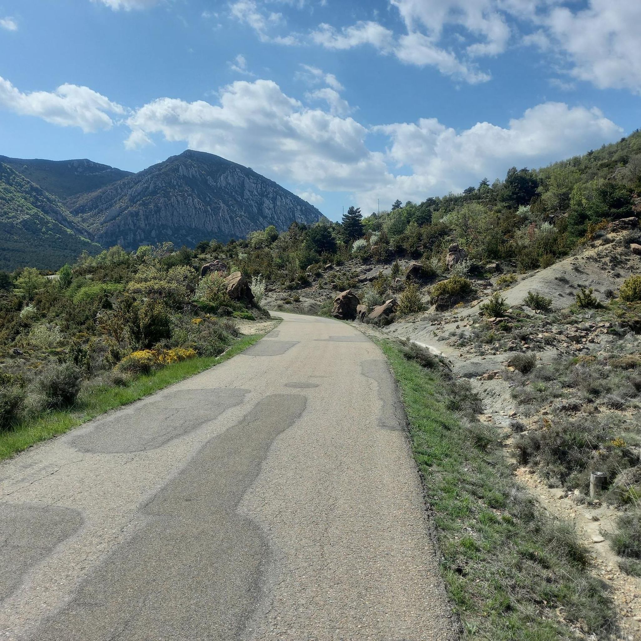
Road Cycling Routes around La Sotonera
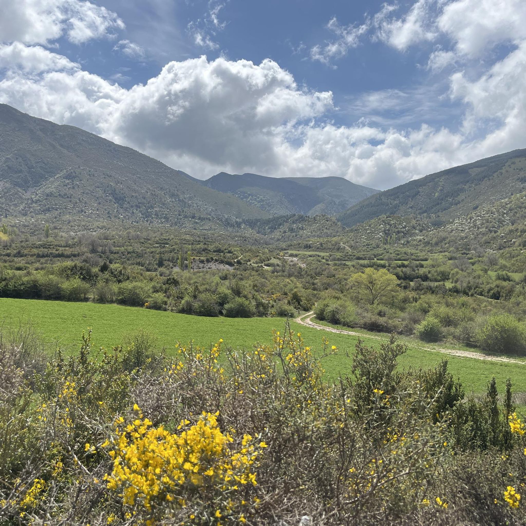
Cycling around La Sotonera
Running Trails around La Sotonera

Gravel biking around La Sotonera
MTB Trails around La Sotonera
Other adventures around La Sotonera


Tips from the Community

The hermitage is in a very cool place, with water falling from the top of the mountain. Inside, the two limestone formations from the flow of water make it very interesting. The walk from there to the gorgas is short and the gorgas area is spectacular. There is a nativity scene and the first thing you ask about is how they got it there. Going to the end of the gorge, where the water comes out, is beautiful. The light contrasts allow for spectacular photos.
0
0
It is worth going to the end of the gorges. It is spectacular. There is even a huge nativity scene.
0
0

Arguis is the typical town of the Huesca Pre-Pyrenees with stone houses and nestled under a limestone ridge covered with trees. Opposite the town is the homonymous reservoir, the oldest in Aragon, where the waters of the Isuela River are dammed. The landscape as a whole formed by the sheet of water and the crests of the Pyrenean foothills is enchanting.
0
0

This picturesque town reminiscent of the Pyrenean villages for its stone houses topped by the typical espantabrujas of their chimneys. It also has a beautiful Romanesque-style church dating from the 12th century.
0
1
This is the oldest reservoir in Aragon. It was under construction for 24 years and was completed in 1704. It dams the seasonal waters of the Isuela River and is used exclusively for irrigation (not counting, in addition, fishing), mainly from the Hoya de Huesca.
1
1
This picturesque town is reminiscent of the Pyrenean villages for its stone houses topped by the typical scarecrows on their chimneys. It also has a beautiful Romanesque-style church dating from the 12th century.
0
0
Fill your canteen here because later on the water from the ravine or the gorgas is not recommended to drink.
0
0
It is dangerous to drink the water from the ravine or from the gorgas since it passes through a modification zone, the one from the hermitage is good.
0
0
Frequently Asked Questions
How many hiking trails are available in La Sotonera?
La Sotonera offers a wide variety of hiking experiences, with over 160 routes recorded on komoot. These include 40 easy, 96 moderate, and 24 difficult trails, catering to all skill levels.
Are there any easy or short hikes suitable for beginners or families in La Sotonera?
Yes, La Sotonera has 40 easy routes. For a shorter, scenic option, consider the Hermitage of the Virgin of the Rock – Cuevas Pulidas loop from Aniés. This moderate 5.9 km (3.7 miles) trail takes about 2 hours to complete and offers interesting sights.
What kind of views or natural features can I expect on hikes in La Sotonera?
Hiking in La Sotonera is defined by its diverse landscape. You can expect views of the prominent Embalse de la Sotonera reservoir, varied hills like Punta Peiró, and natural forests such as the Peiró Beech Forest. Dramatic geological formations, including gorges, are also a highlight, as seen on the Gorges of San Julián Trail.
Are there any circular hiking routes in the area?
Yes, many routes in La Sotonera are circular. A popular choice is the Arguis Reservoir – Arguis Reservoir loop from Collado de la Barza, which is a moderate 11.4 km (7.1 miles) path offering views of the reservoir and surrounding hills.
What are some interesting landmarks or attractions to see near the hiking trails?
The region around La Sotonera is rich in historical and natural attractions. You can explore impressive castles like Loarre Castle or Marcuello Castle. Natural highlights include the Arguis Reservoir and the stunning Gorgas de San Julián.
Is La Sotonera a good destination for dog-friendly hiking?
While specific dog-friendly routes aren't highlighted, many trails in La Sotonera are suitable for hiking with dogs, provided they are kept on a leash and you follow local regulations. Always ensure you carry enough water for your pet, especially during warmer months.
What is the best time of year to go hiking in La Sotonera?
The best time to hike in La Sotonera is generally during spring and autumn when the weather is mild and the natural scenery is at its most vibrant. Summer can be hot, so early morning or late afternoon hikes are recommended. Winter offers a different charm, but some higher elevation trails might be affected by snow or ice.
Are there any hikes that go through a beech forest?
Yes, the region features beautiful natural forests. The Punta Peiró – Peiró Beech Forest loop from Collado de la Barza is a great option, leading you through the scenic beech forest and towards the hill of Punta Peiró.
What do other hikers say about the trails in La Sotonera?
The trails in La Sotonera are highly rated by the komoot community, with an average score of 4.5 stars from over 200 reviews. Hikers often praise the diverse terrain, from reservoir views to forest paths and dramatic gorges.
Is public transport available to reach the hiking trailheads in La Sotonera?
La Sotonera is a rural area, and public transport options to specific trailheads may be limited. It is generally recommended to use a private vehicle to access most starting points for hiking routes in the region.
Where can I find parking for hiking trails in La Sotonera?
For most popular hiking routes in La Sotonera, you will typically find designated parking areas at or near the trailheads. These are often located in villages or at key access points to the natural areas.
Most popular routes around La Sotonera
Most popular attractions around La Sotonera

Get inspired with the komoot mobile app


Explore more
Browse the best Hikes in other regions.
