The best running trails around Mauriac
4.4
(41)
2,811
runners
240
runs
Jogging routes Mauriac are set within the Cantal department of the Auvergne region, characterized by diverse landscapes. The area features an average altitude of 700 meters, positioned between the Dordogne Valley and Puy Mary. Terrain includes lakeside paths, forests, and volcanic peaks, offering varied running experiences. The region is part of the Regional Natural Park of the Volcanoes of Auvergne, providing extensive natural surroundings for exploration.
Best jogging routes around Mauriac
- The most popular jogging route is Tour du Lac…
Last updated: June 23, 2026
21
runners
16.6km
02:25
690m
690m
Hard run. Very good fitness required. Mostly accessible paths. Some sure footedness required.
9
runners
Hard run. Very good fitness required. Mostly accessible paths. Some sure footedness required.

Sign up for free
4
runners
5.16km
00:37
60m
60m
Moderate run. Good fitness required. Mostly paved surfaces. Suitable for all skill levels.
5.0
(1)
706
runners
30.0km
04:05
1,090m
1,090m
Hard run. Very good fitness required. Sure-footedness, sturdy shoes and alpine experience required.
112
runners
36.9km
04:31
930m
930m
Hard run. Very good fitness required. Mostly paved surfaces. Suitable for all skill levels.
68
runners
Moderate run. Good fitness required. Mostly paved surfaces. Suitable for all skill levels.
50
runners
12.4km
01:33
330m
320m
Hard run. Very good fitness required. Mostly paved surfaces. Suitable for all skill levels.
66
runners
9.41km
01:08
210m
210m
Moderate run. Good fitness required. Mostly paved surfaces. Suitable for all skill levels.
4.5
(2)
45
runners
11.2km
01:19
200m
200m
Moderate run. Good fitness required. Mostly paved surfaces. Suitable for all skill levels.
37
runners
27.1km
03:23
730m
730m
Hard run. Very good fitness required. Mostly paved surfaces. Suitable for all skill levels.
Get access to more routes and recommendations from other explorers.
Sign up for free
Already have an account?
Our route recommendations are based on thousands of hikes, rides, and runs completed by other people on komoot.
Start today with a free account
Your next adventure awaits.
Login or Signup
Popular around Mauriac
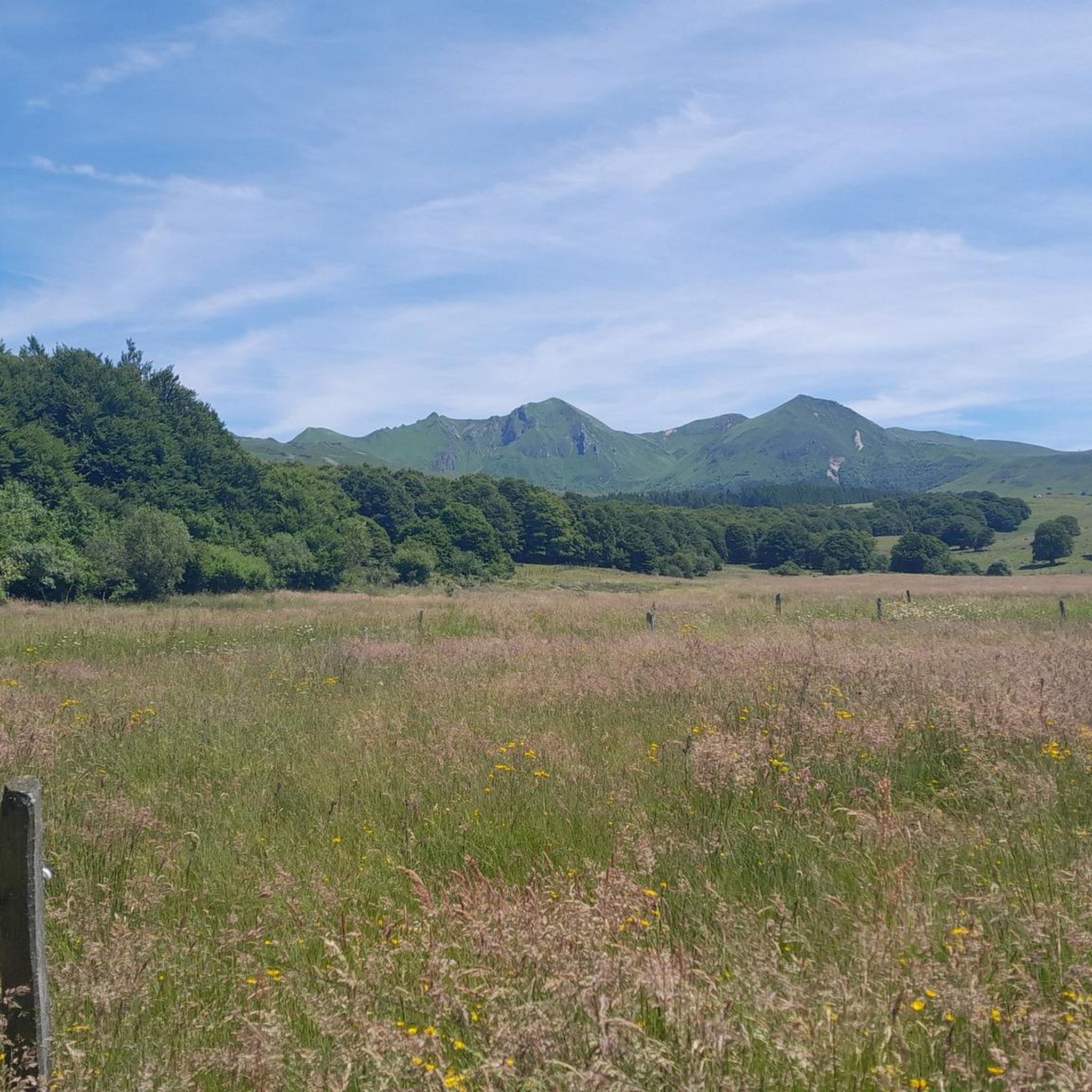
Running Trails around Lanobre

Running Trails around Beaulieu
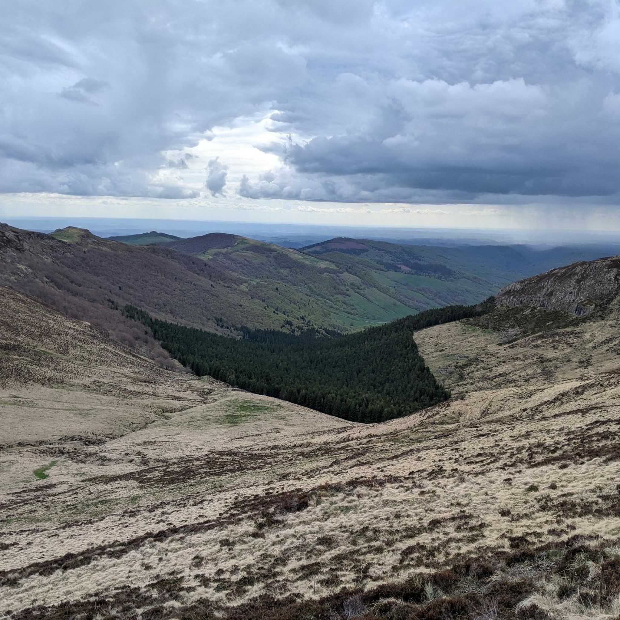
Running Trails around Saint-Projet-De-Salers
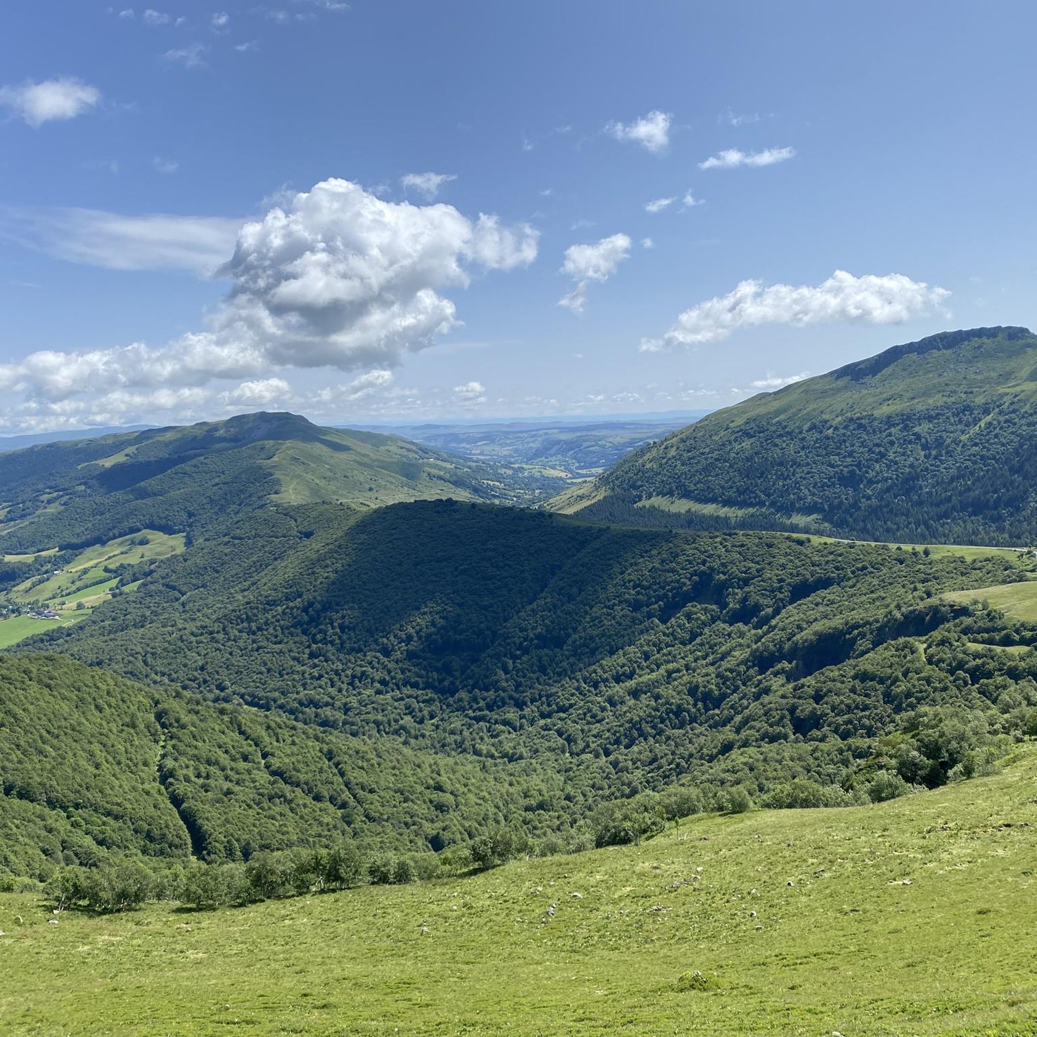
Running Trails around Saint-Paul-De-Salers
Running Trails around Saint-Bonnet-De-Salers
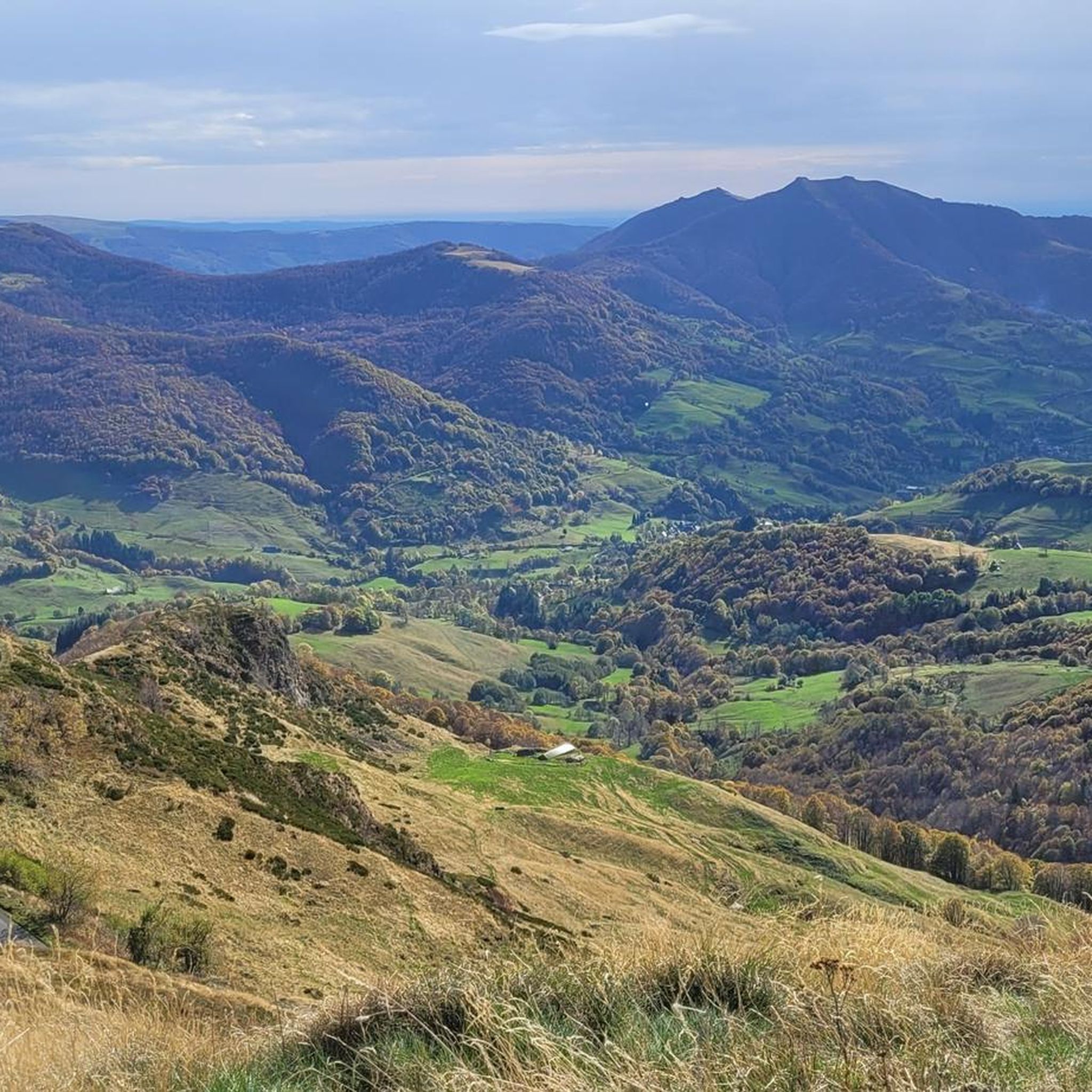
Running Trails around Fontanges
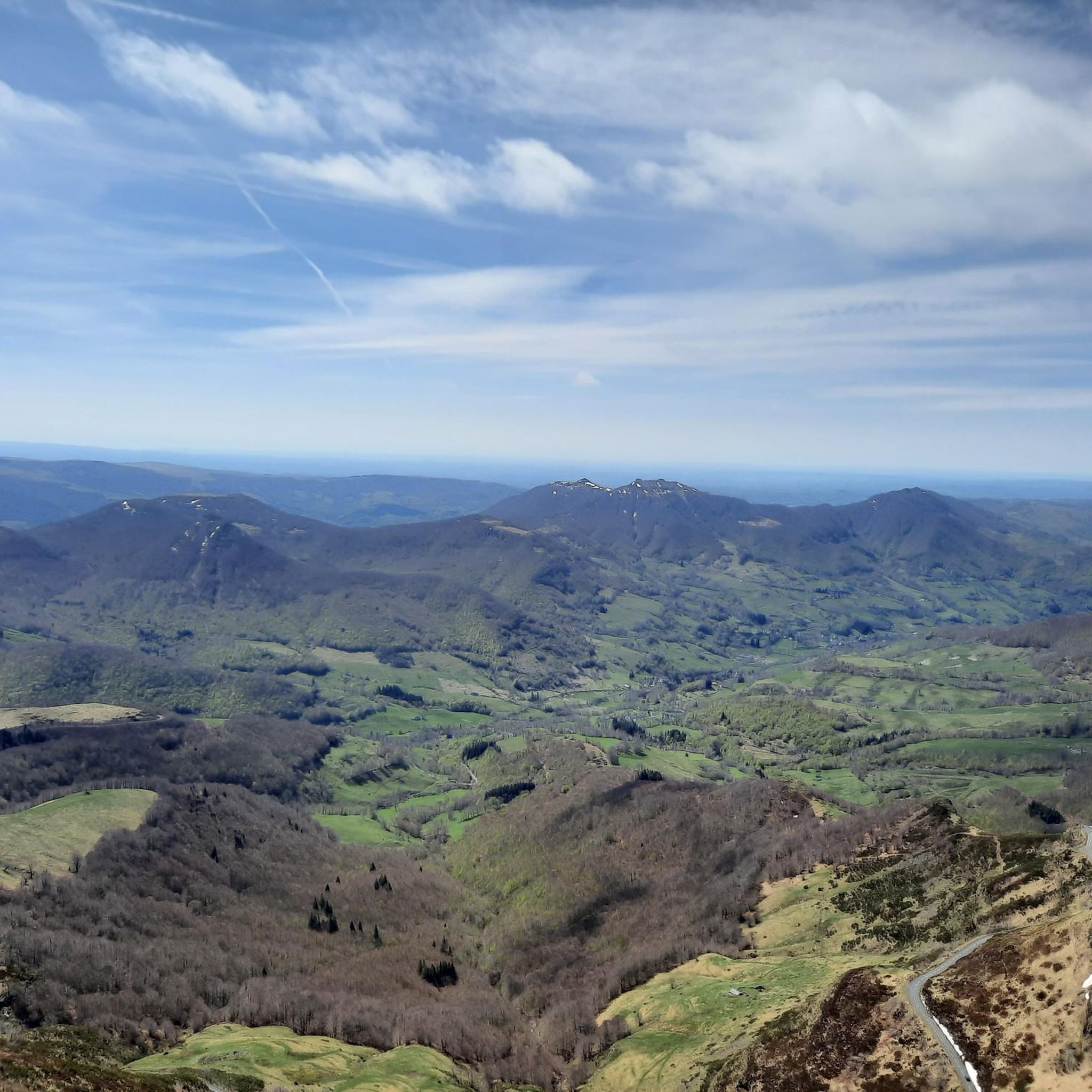
Running Trails around Le Falgoux

Running Trails around Madic
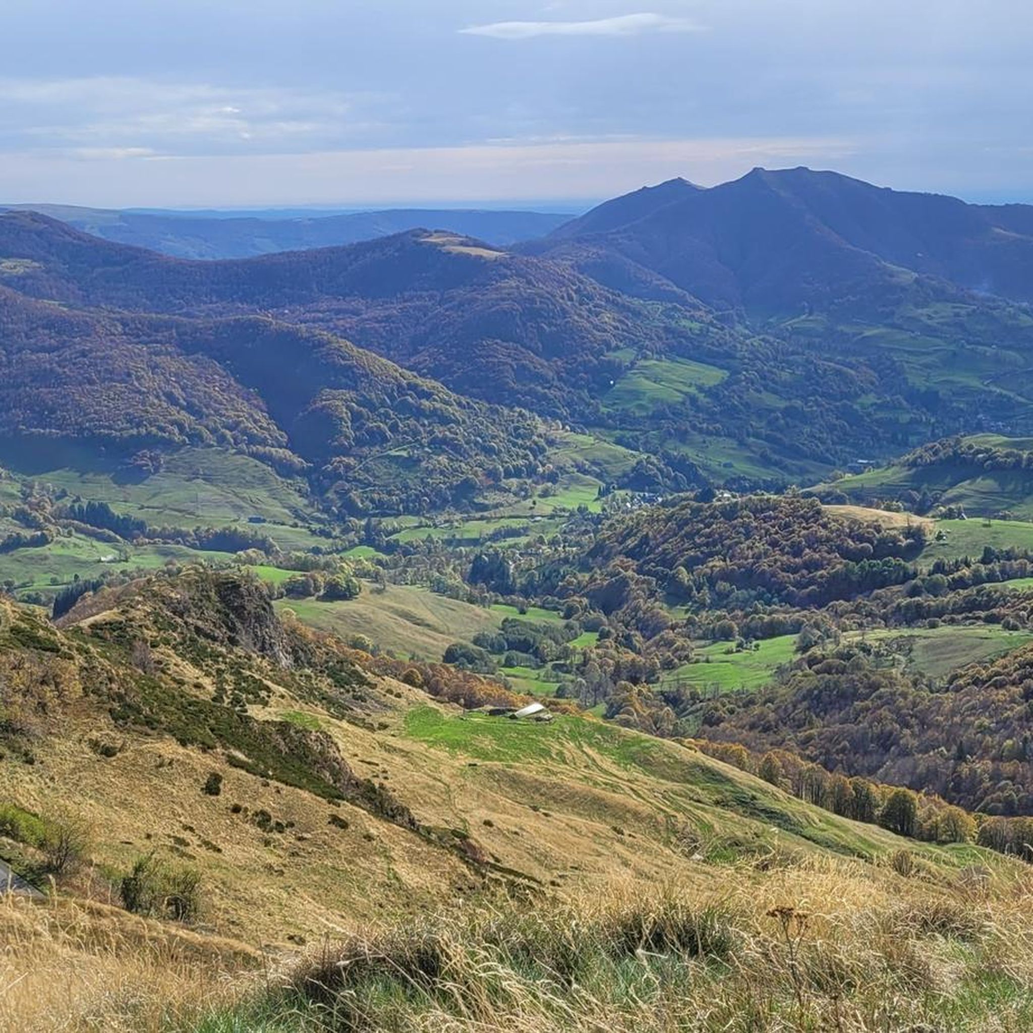
Running Trails around Le Fau

Running Trails around Salers
Other adventures around Mauriac


Tips from the Community

Beautiful castle, close for the siesta
0
0

Either stressful or relaxed from Puy Mary.
0
0

A magnificent site where the panoramas are breathtaking!!!
0
0

nice climb and good visibility over the valley
0
0

Salers is a municipality in the Cantal department in the Auvergne-Rhône-Alpes region. The town is a completely preserved small town from the Renaissance period, with private and public buildings, city walls, defensive towers and a church. It was included in the association of the most beautiful villages in France. Despite its small population of around 300 inhabitants, the town is a historical, cultural and agricultural center in the sparsely populated mountain region of the Monts du Cantal. Source: https://de.wikipedia.org/wiki/Salers
3
0
The castle, which once dominated the Dordogne valley from a rocky outcrop, has stood since 1952 on a headland that juts out into the Barrage de Bort-les-Orgues reservoir. The original character of the castle can only be guessed at when the water level is low. The multi-storey building is surrounded by five towers of roughly the same thickness and one thinner one, each with overhangs and conical roofs. The individual floors are connected by a spiral staircase in the vestibule. The inner courtyard was originally roofless. The first floor consists of three large rooms with decorated fireplaces from the mid-19th century and various furniture. An art exhibition with works by painters, mostly from the region, takes place every year on the second floor. The artistically crafted roof trusses of the towers can be seen from the battlement on the top floor. Source: https://de.wikipedia.org/wiki/Schloss_Val
0
0
Wikipedia has information about the dam: FR: https://de.wikipedia.org/wiki/Barrage_de_Bort-les-Orgues DE: https://fr.wikipedia.org/wiki/Barrage_de_Bort-les-Orgues
1
1
Frequently Asked Questions
How many running routes are available around Mauriac?
The Mauriac area offers a wide variety of running experiences, with over 230 routes available on komoot. These range from easy lakeside loops to challenging mountain climbs, catering to all fitness levels.
What kind of terrain can I expect on running trails in Mauriac?
Running routes in Mauriac feature diverse terrain, from gentle paths around artificial lakes like Lac Crégut and Lac de Lastioulles, to forested trails, and more challenging ascents on volcanic peaks (puys) within the Regional Natural Park of the Volcanoes of Auvergne. You'll find a mix of landscapes between the Dordogne Valley and the majestic Puy Mary.
Are there running routes suitable for beginners in Mauriac?
Yes, Mauriac offers several easier running paths perfect for beginners. For instance, the Tour du Lac Crégut is a moderate 5.2 km (3.2 miles) route with minimal elevation gain, offering beautiful lake views. The 4 km walk around Lake Saint-Jean is also an excellent gentle option.
Where can I find challenging trail runs near Mauriac?
For experienced trail runners seeking a challenge, Mauriac is an excellent base. The Col de Légal to Puy Chavaroche Trail is a difficult 16.6 km (10.3 miles) route with significant elevation, offering panoramic views of the Cantal mountains and Puy Mary. Another demanding option is the Roc d'Hozières et Roc des Ombres loop, a difficult 14.3 km run through the Regional Natural Park of the Volcanoes of Auvergne.
Are there any circular running routes in the Mauriac area?
Yes, many running routes around Mauriac are circular, allowing you to start and finish at the same point. Examples include the Tour du Lac Crégut and the Roc d'Hozières et Roc des Ombres loop. The Bort-les-Orgues Dam loop is another popular circular option.
What do other runners say about the trails in Mauriac?
The running routes in Mauriac are highly rated by the komoot community, with an average score of 4.375 stars from over 43 reviews. Runners often praise the varied terrain, the stunning natural beauty, and the well-maintained paths that offer everything from serene lakeside jogs to challenging mountain climbs.
Are there scenic viewpoints or landmarks to see while running in Mauriac?
Absolutely! Many routes offer breathtaking views. For instance, the Col de Légal to Puy Chavaroche Trail provides panoramic vistas of the Cantal mountains and Puy Mary. You can also find routes near the Pas de Peyrol Pass, offering stunning views from 1,588 meters.
Can I find routes that pass by waterfalls or lakes?
Yes, the region is rich in natural water features. You can enjoy runs around picturesque lakes such as Lac Crégut, Lac de Lastioulles, and Lake Saint-Jean. For waterfalls, consider exploring areas near Cascade de Salins or Saut de la Saule Waterfall, which offer dramatic backdrops for your outdoor activity. For more information on Cascade de Salins, you can visit tourisme-paysdemauriac.fr.
What are some interesting places to explore near the running routes?
Beyond the trails, you can explore charming villages like Salers, recognized as one of France's 'Most Beautiful Villages'. The historic Val Castle is also near some running routes, such as the Val Castle – Siauve Beach loop. The entire area is part of the Regional Natural Park of the Volcanoes of Auvergne, offering vast natural beauty.
Are there family-friendly running paths in Mauriac?
Many of the easier, flatter routes around the lakes, such as the 4 km path around Lake Saint-Jean or the Tour du Lac Crégut, are suitable for families looking for a pleasant jog or walk together. These paths often have less elevation gain and are generally well-maintained.
What is the best time of year to go running in Mauriac?
The spring, summer, and early autumn months generally offer the best conditions for running in Mauriac, with pleasant temperatures and lush landscapes. Summer pastures are vibrant, and the lakes are inviting. During winter, higher altitude trails, especially around Puy Mary and the Massif Central, may experience snow and require appropriate gear or be inaccessible.
Are dogs allowed on the running trails around Mauriac?
While many outdoor areas in France are dog-friendly, it's always best to check local regulations for specific trails, especially within protected areas like the Regional Natural Park of the Volcanoes of Auvergne. Generally, dogs are welcome on trails if kept on a leash, and owners are expected to clean up after them. Always respect local signage.
Are there any long-distance running options for experienced athletes?
Yes, Mauriac and its surroundings offer several long-distance running options. The Néronne Pass – Neronne Pass loop from Salers is a challenging 46 km (28.6 miles) route with significant elevation gain, perfect for ultra-runners or those training for longer distances. Another option is the Val Castle – Bort-les-Orgues Dam loop, a difficult 36.9 km (22.9 miles) trail.
Most popular routes around Mauriac
Most popular attractions around Mauriac

Get inspired with the komoot mobile app


Didn’t find what you were looking for?
Check out more Running Trails & Routes throughout Mauriac below and find the perfect route in your destination.
Explore more
Browse the best Running Trails & Routes in other regions.
