The best road cycling routes around Aurillac
4.4
(431)
12,639
riders
651
rides
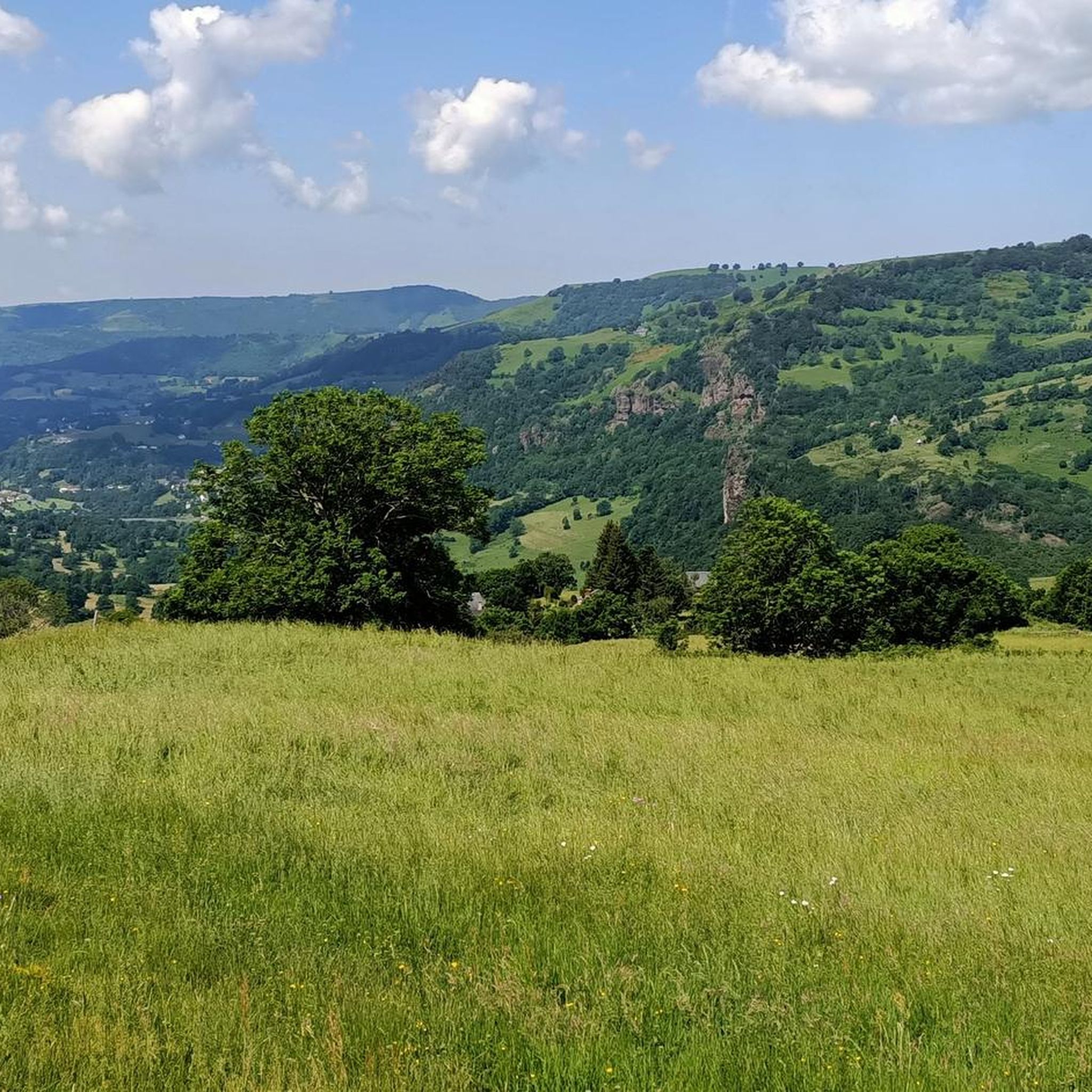
Road cycling routes around Aurillac traverse the diverse and challenging volcanic landscapes of the Cantal department in central France. The region features winding roads and hilly terrain, with routes progressively rising towards the foot of volcanic hills like Chavaroche and Griou. This area offers a mix of mostly paved surfaces, providing options for various fitness levels.
Best road cycling routes around Aurillac
- The most popular road cycling route is Cantal Volcano Loop, a 45.1 miles (72.7 km) trail that takes 4 hours 16 minutes to complete. This difficult route features challenging climbs and panoramic volcanic views around Puy Mary.
- Another top favourite among local road cyclists is Lake of Saint-Étienne-Cantalès - loop, a moderate 46.6 miles (75.0 km) path. This route offers a scenic ride around the Lake of Saint-Étienne-Cantalès.
- Local road cyclists also love the Volcan du Cantal loop — Romain Bardet Experience - RBX, a 89.0 miles (143.2 km) trail leading through the volcanic Cantal region, often completed in about 7 hours 54 minutes.
- Road cycling around Aurillac is defined by volcanic landscapes, picturesque valleys, and challenging hilly terrain. The network offers options for different ability levels, from moderate rides to demanding ascents.
- The routes in Aurillac are highly rated by the komoot community with an average score of 4.4 stars from more than 300 reviews. More than 10,000 road cyclists have used komoot to explore Aurillac's varied terrain.
Last updated: August 30, 2026
4.8
(15)
571
riders
72.7km
04:16
1,820m
1,820m
Hard road ride. Very good fitness required. Mostly well-paved surfaces and easy to ride.
4.7
(3)
68
riders
75.0km
03:35
880m
880m
Moderate road ride. Good fitness required. Some segments of this route may be unpaved and difficult to ride.

Sign up for free
4.0
(1)
32
riders
143km
07:54
3,060m
3,060m
Hard road ride. Very good fitness required. Mostly well-paved surfaces and easy to ride.
5.0
(2)
31
riders
74.4km
04:16
1,700m
1,700m
Hard road ride. Very good fitness required. Some segments of this route may be unpaved and difficult to ride.
11
riders
140km
07:14
2,290m
2,290m
Hard road ride. Very good fitness required. Mostly well-paved surfaces and easy to ride.
5.0
(1)
17
riders
43.4km
02:27
890m
880m
Moderate road ride. Good fitness required. Mostly well-paved surfaces and easy to ride.
23
riders
48.9km
02:40
840m
840m
Moderate road ride. Good fitness required. Mostly well-paved surfaces and easy to ride.
5
riders
60.5km
03:17
1,160m
1,160m
Hard road ride. Very good fitness required. Mostly well-paved surfaces and easy to ride.
4
riders
51.1km
02:59
1,170m
1,160m
Hard road ride. Very good fitness required. Mostly well-paved surfaces and easy to ride.
5.0
(11)
577
riders
106km
05:38
2,050m
2,050m
Hard road ride. Very good fitness required. Mostly well-paved surfaces and easy to ride.
Get access to more routes and recommendations from other explorers.
Sign up for free
Already have an account?
Our route recommendations are based on thousands of hikes, rides, and runs completed by other people on komoot.
Start today with a free account
Your next adventure awaits.
Login or Signup
Popular around Aurillac
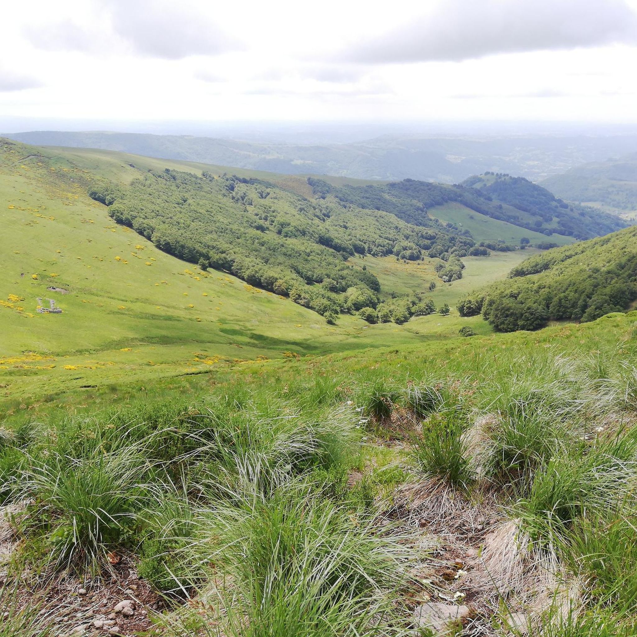
Road Cycling Routes around Thiézac
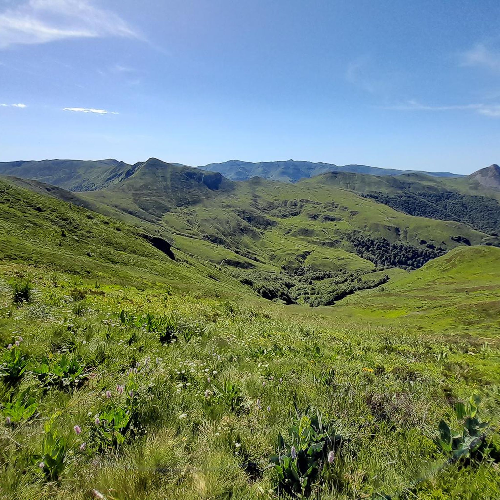
Road Cycling Routes around Mandailles-Saint-Julien
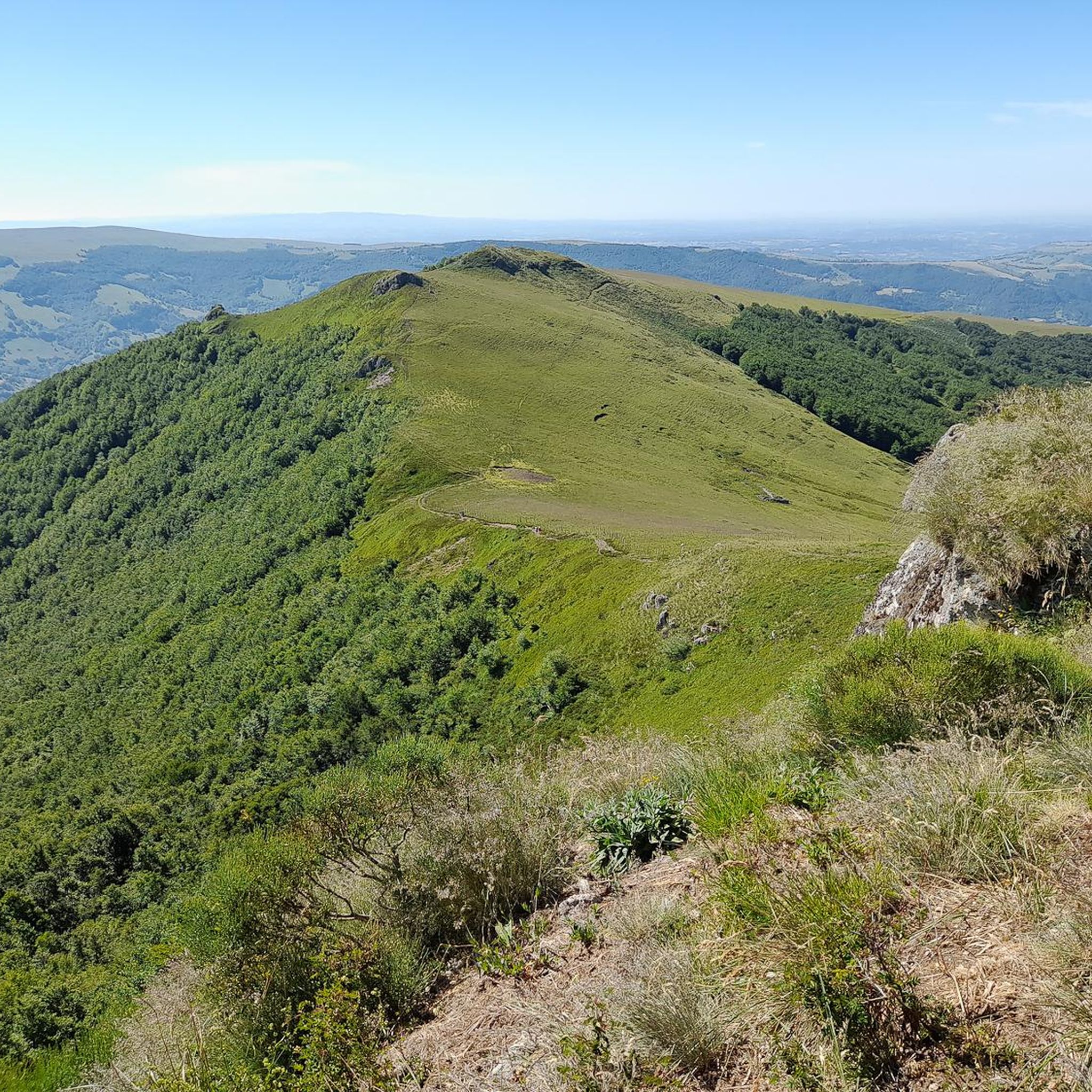
Road Cycling Routes around Saint-Cirgues-De-Jordanne
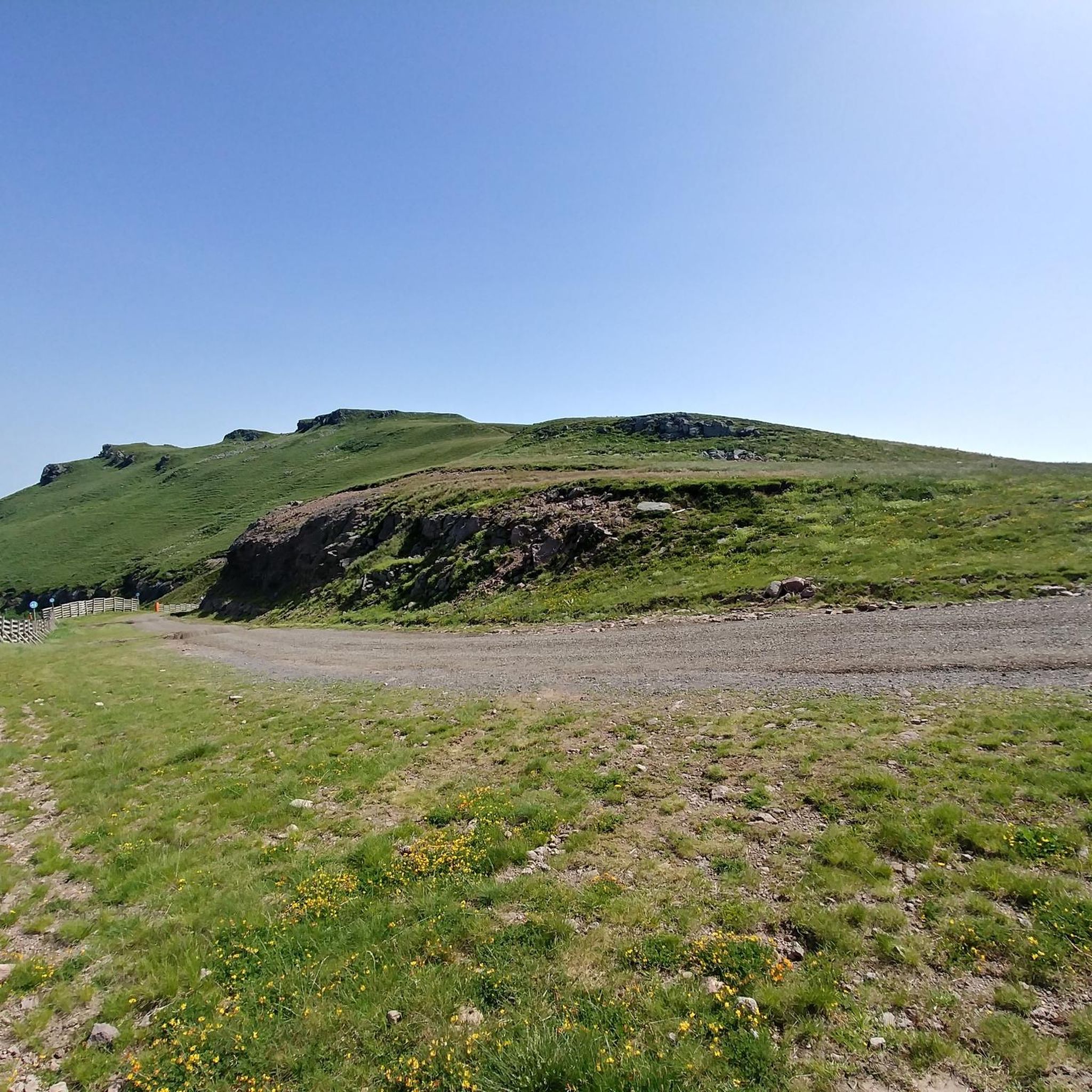
Road Cycling Routes around Saint-Jacques-Des-Blats
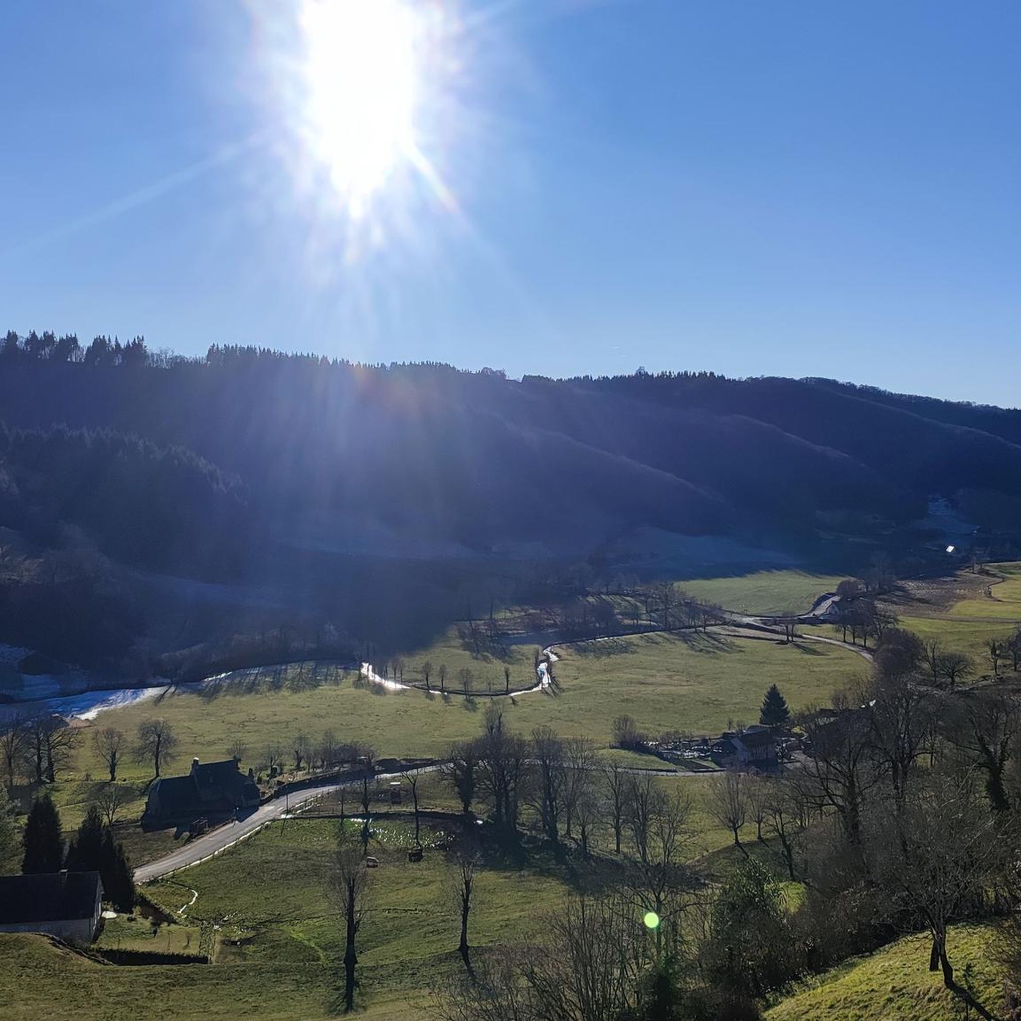
Road Cycling Routes around Tournemire
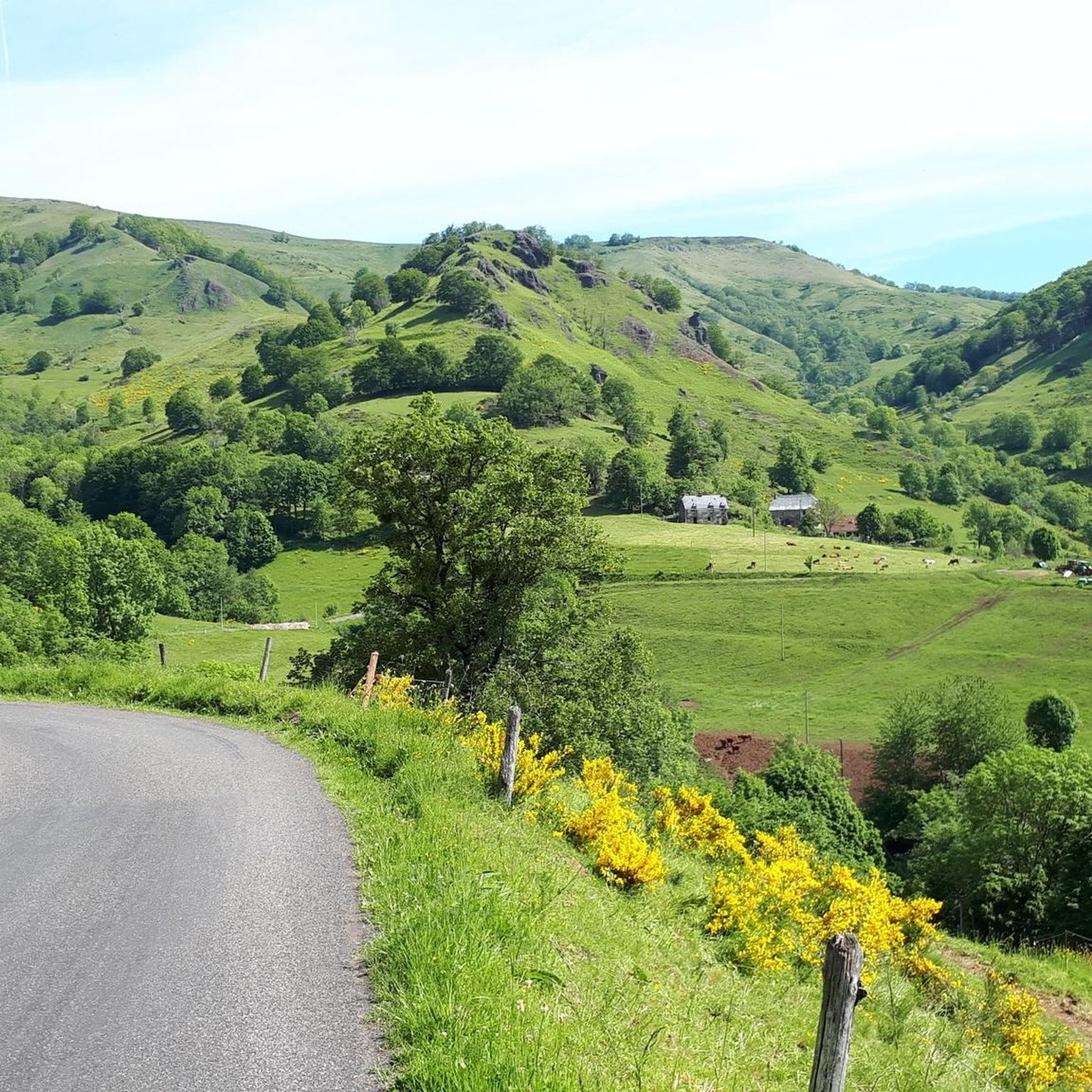
Road Cycling Routes around Polminhac

Road Cycling Routes around Saint-Étienne-De-Carlat
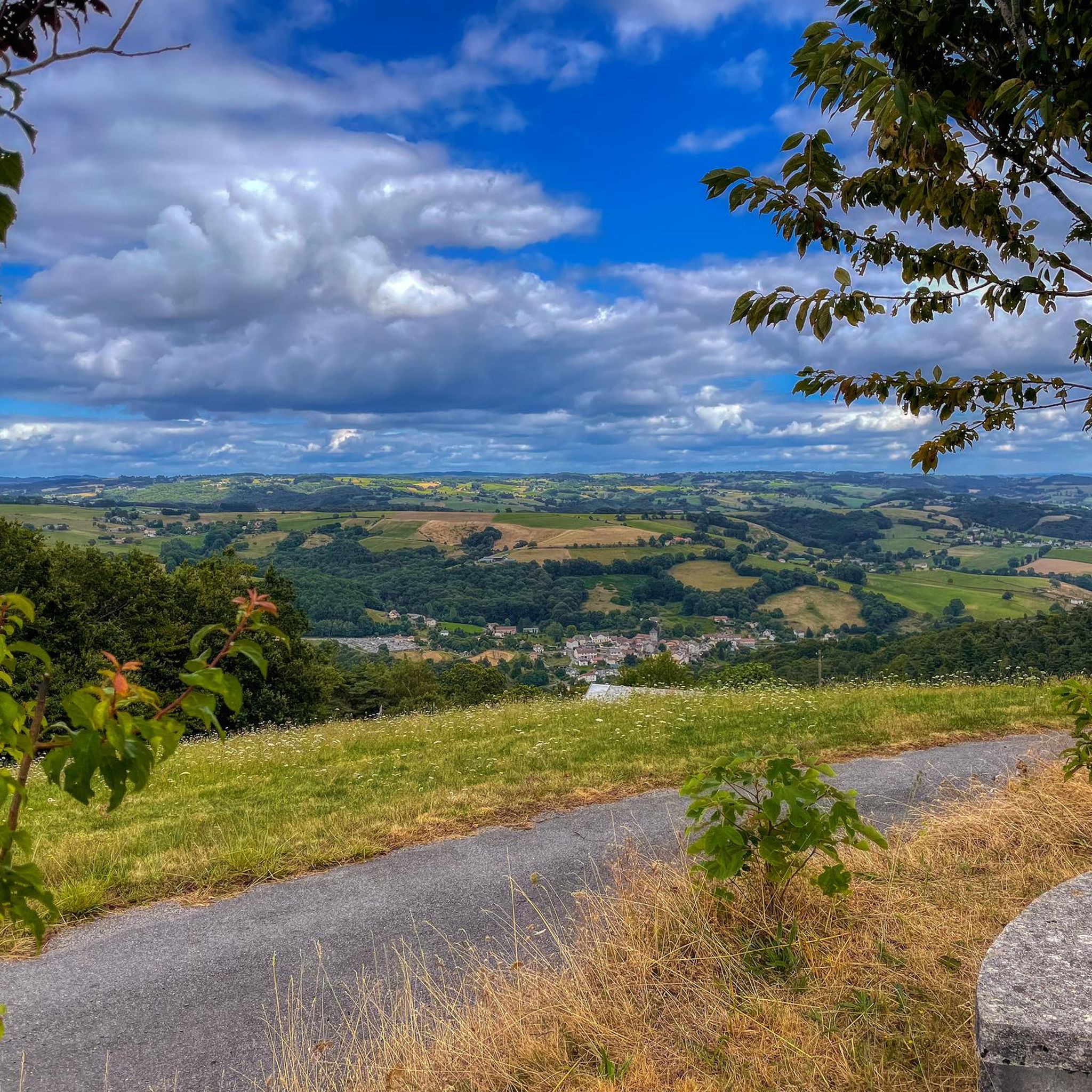
Road Cycling Routes around Saint-Julien-De-Toursac
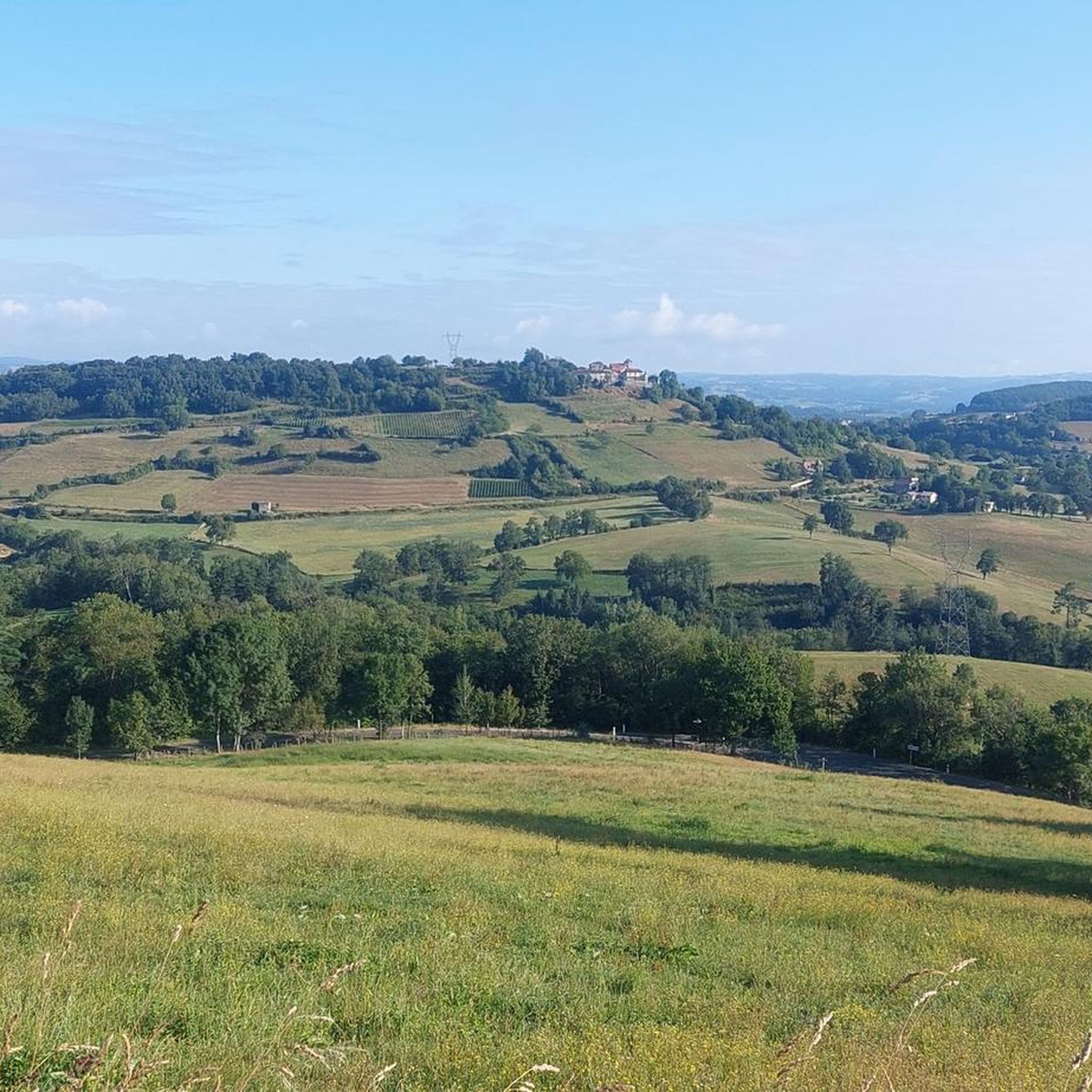
Road Cycling Routes around Saint-Étienne-De-Maurs
Road Cycling Routes around Saint-Clément
Other adventures around Aurillac


Tips from the Community

At least 5 possibilities to climb it. Only the direct ascent via Falgoux is difficult with 4 km at an average of 9%. But the view is not extraordinary in the forest.
0
0
Very difficult pass on the Mandailles side. The average gradient is not representative because there is a small descent two-thirds of the way up, after a 500m section at 12%.
0
0

a lighter pass in between. lies on the watershed between the drainage basins of the Loire and Dordogne rivers
0
0

Either stressful or relaxed from Puy Mary.
1
0

nice little climb on a road bike far from everything with two small walls
0
0

Rain, visibility 1m, but otherwise great
0
0

It's steep but you absolutely have to do this pass because the landscape is magnificent.
1
0

Did it last week with the cycling friends. Splendor of a Col. 🤩
0
0
Frequently Asked Questions
What kind of terrain and difficulty can I expect on road cycling routes around Aurillac?
Road cycling around Aurillac is characterized by diverse and challenging volcanic landscapes, winding roads, and hilly terrain. You'll find routes progressively rising towards the foot of volcanic 'puys' like Chavaroche and Griou. The region offers a mix of mostly paved surfaces, with options ranging from easy rides suitable for any fitness level to very difficult routes requiring excellent physical condition, some with significant elevation gains. Overall, there are over 600 road cycling routes in the area, with about 330 considered moderate and over 270 classified as difficult.
Are there any easy or moderate road cycling routes suitable for less experienced riders or families in Aurillac?
Yes, while Aurillac is known for its challenging terrain, there are options for less experienced riders. Approximately 330 routes are classified as moderate, and about 34 are considered easy. These routes often feature picturesque valleys and less demanding ascents, providing a gentler introduction to the region's beauty. For example, the Lake of Saint-Étienne-Cantalès - loop is a moderate 75 km path offering a scenic ride.
What are some of the most scenic natural features or landmarks I can see while road cycling near Aurillac?
The Aurillac region is rich in natural beauty and historical sites. You can expect breathtaking views of the Cantal Mountains, part of Europe's largest extinct volcano. Notable natural features include the iconic Puy Mary Summit, a 'Grand Site de France' known for its pyramid shape, and the impressive Gorges de la Jordanne. Other highlights include the Plomb du Cantal and the Puy Peyre-Arse. The Jordanne Valley itself offers a marvelous ride, especially green in spring.
Are there any long-distance or challenging road cycling routes for experienced cyclists?
Absolutely. Aurillac is a haven for experienced road cyclists seeking a challenge. The region is famous for its 'Romain Bardet Experience' loops. For instance, the Volcan du Cantal loop — Romain Bardet Experience - RBX is a demanding 143.2 km trail with over 3000 meters of elevation gain. Another significant challenge is the ascent to the Pas de Peyrol Pass (1,589 m), a hard 106 km ride from Aurillac requiring very good fitness. The Col de Pertus et Lac des Graves - loop also offers a difficult 74.4 km ride with substantial climbing.
What is the best time of year to go road cycling in Aurillac?
The spring and summer months are generally ideal for road cycling in Aurillac. Spring brings verdant landscapes to areas like the Jordanne Valley, while summer offers warmer temperatures suitable for longer rides. However, due to the volcanic and mountainous terrain, weather can change, so it's always advisable to check local forecasts before heading out, especially for higher altitude passes like Pas de Peyrol.
Are there circular road cycling routes available around Aurillac?
Yes, many of the road cycling routes around Aurillac are designed as loops, allowing you to start and finish in the same location. Examples include the challenging Cantal Volcano Loop, the scenic Lake of Saint-Étienne-Cantalès - loop, and the demanding Châtaigneraie Cantalienne loop — Romain Bardet Experience - RBX. These circular routes provide a convenient way to explore the region's diverse landscapes.
What do other road cyclists say about their experience in Aurillac?
The road cycling routes in Aurillac are highly rated by the komoot community, with an average score of 4.4 stars from over 300 reviews. More than 10,000 road cyclists have used komoot to explore the varied terrain. Reviewers often praise the spectacular volcanic landscapes, the challenging climbs, and the well-maintained paved surfaces that make for an excellent cycling experience.
Can I find routes that pass through charming villages or historical sites?
Yes, many routes will take you through the picturesque countryside dotted with charming villages. The Châtaigneraie Cantalienne region, for example, offers routes like the Châtaigneraie Cantalienne Loop that feature green valleys and traditional villages. The city of Aurillac itself boasts a medieval old town with narrow winding streets and half-timbered houses, along with the Abbey Church of Saint-Géraud, which you can explore before or after your ride.
Are there any specific cycling routes that are part of a larger network or famous cycling events?
Yes, the region is home to the 'Romain Bardet Experience' loops, which are a series of challenging routes traversing the volcanic Cantal region, designed by the professional cyclist Romain Bardet. Additionally, the area features 'véloroutes' such as the 'Grande Traversée du Volcan' (V74), which offers beautiful viewpoints and historical buildings. You can find more information about cycling in the region on the Pays d'Aurillac tourism website: paysaurillactourisme.com.
Are there any routes that offer significant elevation gain for serious climbers?
Aurillac is an excellent destination for serious climbers. Routes like the Cantal Volcano Loop feature over 1800 meters of elevation gain over 72.7 km. The Volcan du Cantal loop — Romain Bardet Experience - RBX boasts over 3000 meters of climbing. The ascent to the Pas de Peyrol Pass is also a renowned challenge, offering over 2000 meters of elevation gain. These routes provide ample opportunity to test your climbing prowess amidst stunning volcanic scenery.
What are the options for parking when accessing road cycling routes around Aurillac?
While specific parking locations for each route are not detailed here, Aurillac and its surrounding towns generally offer various parking facilities. Given the region's popularity for outdoor activities, you can typically find parking in or near the starting points of many routes, especially in larger towns or designated tourist areas. It's advisable to check local maps or tourist information for specific parking options closest to your chosen route.
Most popular routes around Aurillac
Most popular attractions around Aurillac

Get inspired with the komoot mobile app


Didn’t find what you were looking for?
Check out more Road cycling routes throughout Aurillac below and find the perfect route in your destination.
Explore more
Browse the best Road cycling routes in other regions.
