The best road cycling routes around Rochefort
4.2
(796)
19,627
riders
819
rides
Road cycling around Rochefort, France, offers diverse and largely flat landscapes, making it accessible for various skill levels. The region features extensive cycle routes along the Atlantic coastline, through wetlands and marshes, and beside the Charente River. Cyclists can explore islands, pine forests, and historical sites, with minimal elevation gain across most routes.
Best road cycling routes around Rochefort
- The most popular road cycling route is Tour of the Île d'Oléron, a 40.8 miles (65.7 km) trail that takes…
Last updated: October 10, 2026
4.0
(4)
97
riders
65.7km
02:31
110m
110m
Moderate road ride. Good fitness required. Mostly well-paved surfaces and easy to ride.
4.0
(1)
38
riders
98.8km
04:20
420m
420m
Cycle 61.4 miles (98.8 km) on this moderate loop from Mornac-sur-Seudre, Ronce-les-Bains, to Royan, exploring coastal paths, forests, and ch

4.1
(69)
1,163
riders
68.4km
02:49
130m
130m
Moderate road ride. Good fitness required. Some segments of this route may be unpaved and difficult to ride.
4.6
(5)
20
riders
42.5km
01:56
100m
100m
This easy 26.4-mile road cycling loop from Rochefort to Port-des-Barques offers coastal views and historical sights in under two hours.
4.1
(57)
1,095
riders
68.9km
02:49
130m
130m
Moderate road ride. Good fitness required. Some segments of this route may be unpaved and difficult to ride.
3.0
(1)
8
riders
57.7km
02:29
170m
170m
This moderate 35.9-mile road cycling loop near L'Éguille offers scenic views and takes about 2 hours and 29 minutes to complete.
4
riders
98.2km
04:14
370m
370m
Moderate road ride. Good fitness required. Mostly well-paved surfaces and easy to ride.
3.0
(1)
6
riders
Moderate road ride. Good fitness required. Mostly well-paved surfaces and easy to ride.
1
riders
57.3km
02:25
310m
310m
Cycle the moderate 35.6-mile La Flow Vélo and Rochefort Loop, exploring diverse coastal, marshland, and rural landscapes by road bike.
4.4
(44)
1,084
riders
Moderate road ride. Good fitness required. Some segments of this route may be unpaved and difficult to ride.
Get access to more routes and recommendations from other explorers.
Already have an account?
Our route recommendations are based on thousands of hikes, rides, and runs completed by other people on komoot.
Start today with a free account
Your next adventure awaits.
Popular around Rochefort
Road Cycling Routes around Royan
Road Cycling Routes around Les Mathes
Road Cycling Routes in Forêt Des Combots D'Ansoine
Road Cycling Routes around Vergeroux
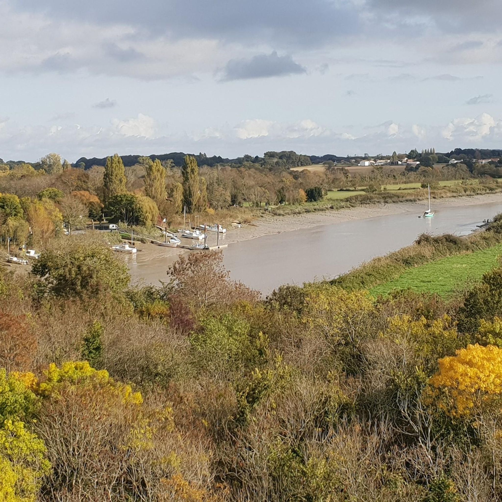
Road Cycling Routes around Saint-Hippolyte
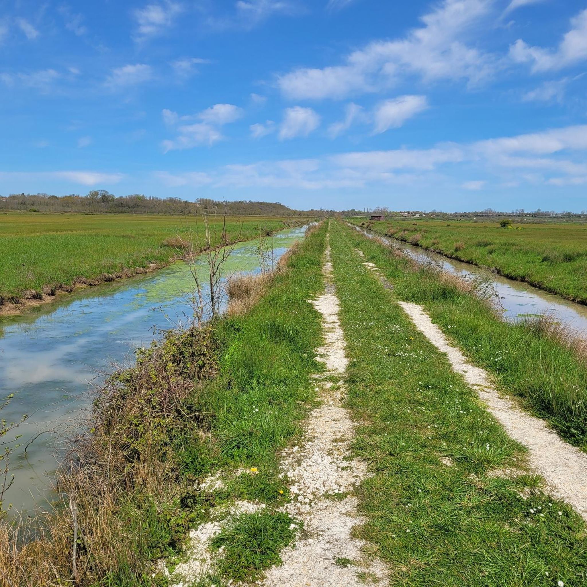
Road Cycling Routes around Breuil-Magné
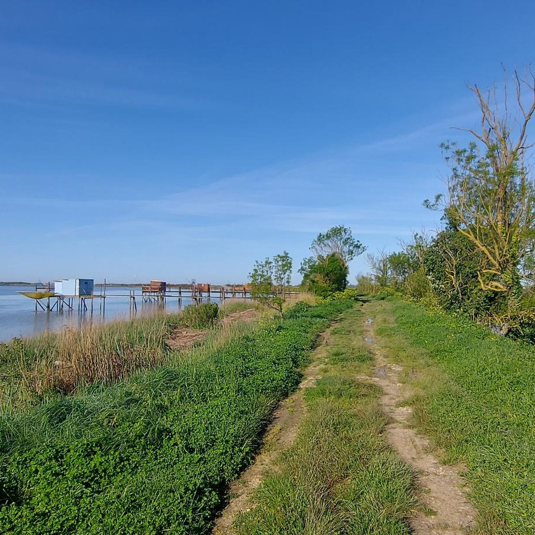
Road Cycling Routes around Loire-Les-Marais
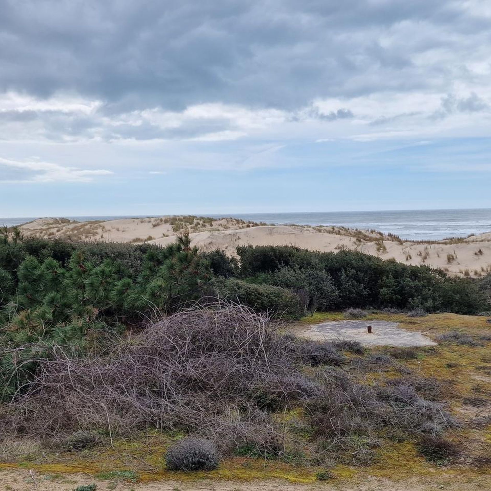
Road Cycling Routes around Forêt domaniale de la Coubre
Road Cycling Routes around La Tremblade
Road Cycling Routes around Saint-Froult
Other adventures around Rochefort


Tips from the Community

The Halles of Mornac first appeared in the Middle Ages. It was only in 1664 that the first written proof attested to their existence. They are likely older and could date back to the 1550s. The Halles are generally timber-framed shelters supported by stone pillars and covered with tiles. It can be assumed that, like those of Cozes and Pisany, they suffered the vicissitudes of the Wars of Religion and were damaged, or even destroyed, then rebuilt when peace returned. The site of the Halles of Mornac was a renowned fairground and allowed the inhabitants to sell their products in exchange for a fee paid to the Lord. It was an important source of income for him, which also obliged him to maintain these Halles in perfect condition. An act engaging the Lord and the seller sealed a contract signifying the rights to sell unpacked goods and the maintenance of the said Halles.
0
0

Well-maintained cycle path along the coast. However, it gets quite busy here during the main season. Therefore, not a race track.
0
0
Located on the commune of St-Palais-sur-Mer, at the tip of Terre-Nègre, it is intended to mark the southern passage of the Gironde estuary and to signal the presence of a dangerous sandbank, the la barre à l'Anglais.
0
0

A unique and peaceful spectacle.
0
0

Here you'll find a romantic little lighthouse, and behind it lies a garden with a bench overlooking the sea, a lovely place to stop for a break. Afterwards, you can continue along the cliff to the right until you reach Euro Velo 1 again.
0
0

Easily accessible place, only the last meters are prohibited for cyclists.
0
0

Very beautiful and picturesque!
0
0

After 224 steps you can enjoy a wonderful panoramic view of the island
1
0
Frequently Asked Questions
What is the typical terrain like for road cycling around Rochefort?
The Rochefort region offers diverse and largely flat landscapes, making it accessible for various skill levels. You'll find extensive cycle routes along the Atlantic coastline, through wetlands and marshes, and beside the Charente River. While generally flat, some routes, like the Tour of the Arvert Peninsula, include moderate elevation changes as they traverse pine forests and coastal areas.
Are there challenging road cycling routes in Rochefort?
While the Rochefort region is known for its generally flat terrain, there are some routes that offer a more moderate challenge. Out of nearly 800 road cycling routes, 17 are classified as difficult, and close to 600 are moderate. These routes might feature longer distances or slightly more varied elevation, such as the Rochefort - Thairé - La Jarrie loop, which covers nearly 100 km with over 360 meters of elevation gain.
What scenic landscapes can I explore by road bike in Rochefort?
Road cycling in Rochefort allows you to discover a rich tapestry of scenery. You can ride along the Atlantic coastline with breathtaking sea views, explore the banks of the Charente River, or traverse unique wetland areas like the Moëze Reserve and Yves Marsh. Routes such as the Tour of the Île d'Oléron offer diverse coastal landscapes, while the Réserve Naturelle Régionale de La Massonne par le marais de Brouages – loop takes you through wetlands rich in birdlife.
Are there historical sites or landmarks to see along the road cycling routes?
Yes, Rochefort and its surroundings are rich in history and culture. Many cycling routes offer views or direct access to historical sites. You can explore impressive fortifications like the Château-d'Oléron Citadel, the Brouage Citadel, or Fort de Fouras. The city of Rochefort itself is a City of Art and History, known for its Arsenal des mers and the Corderie Royale.
Are there family-friendly road cycling routes in Rochefort?
Absolutely. The generally flat terrain and extensive network of cycle routes make Rochefort very accessible for families. The renowned Vélodyssée, which passes through Rochefort, is largely flat and ideal for family rides. Many local loops are designed for easy touring on mostly paved surfaces, such as the Charente to the Atlantic Trail, which is classified as easy.
What is the best season for road cycling in Rochefort?
The Rochefort region is generally pleasant for road cycling from spring through autumn. The mild climate and coastal breezes make it enjoyable, especially outside the peak summer heat. Spring and early autumn offer comfortable temperatures and beautiful scenery, with fewer crowds than in mid-summer.
Are there circular road cycling routes available?
Yes, many road cycling routes in Rochefort are designed as loops, allowing you to start and end at the same point. Examples include the Tour of the Île d'Oléron, the Saujon, Pisany, and L'Éguille Loop, and the La Flow Vélo and Rochefort Loop, providing convenient options for exploring the region.
What do other road cyclists enjoy the most about road cycling in Rochefort?
The area is highly rated by the komoot community, with an average score of 4.3 stars from over 500 reviews. Reviewers often praise the diverse coastal landscapes, the peaceful routes along the Charente River, and the unique experience of cycling through wetlands. The well-maintained paths and generally flat terrain are also frequently highlighted as positive aspects.
Can I access road cycling routes using public transport in Rochefort?
Rochefort is well-connected, and some cycling routes are accessible via public transport. The region has initiatives like the "Accueil vélo" label, indicating sites welcoming cyclists, which often includes transport hubs. For specific routes, it's advisable to check local bus or train services for bike carriage options, especially for routes like the Old Port of La Rochelle – Châtelaillon Beach loop from Saint-Laurent-de-la-Prée - Fouras, which connects coastal towns.
Are there any long-distance cycling routes that pass through Rochefort?
Yes, Rochefort is a key point on two major national cycling routes. The renowned Vélodyssée, a 1,200 km Atlantic coastal bike route, passes directly through the area. Additionally, the Flow Vélo, a 400 km route following the Charente River, also extends its itinerary through Rochefort. You can find more information about the Flow Vélo on the France Vélo Tourisme website.
What kind of natural attractions can I find along the routes?
Beyond the general landscapes, you can discover specific natural attractions. For instance, some routes might pass by serene lakes such as Lake Frace or the Étangs des Prés Valet. The region's wetlands and marshes are also significant natural features, offering opportunities for birdwatching and enjoying unique ecosystems.
Most popular routes around Rochefort
Most popular attractions around Rochefort

Get inspired with the komoot mobile app


Didn’t find what you were looking for?
Check out more Road cycling routes throughout Rochefort below and find the perfect route in your destination.
Explore more
Browse the best Road cycling routes in other regions.
