The best walks and hikes around Castelsarrasin
4.5
(1194)
6,212
hikers
165
hikes
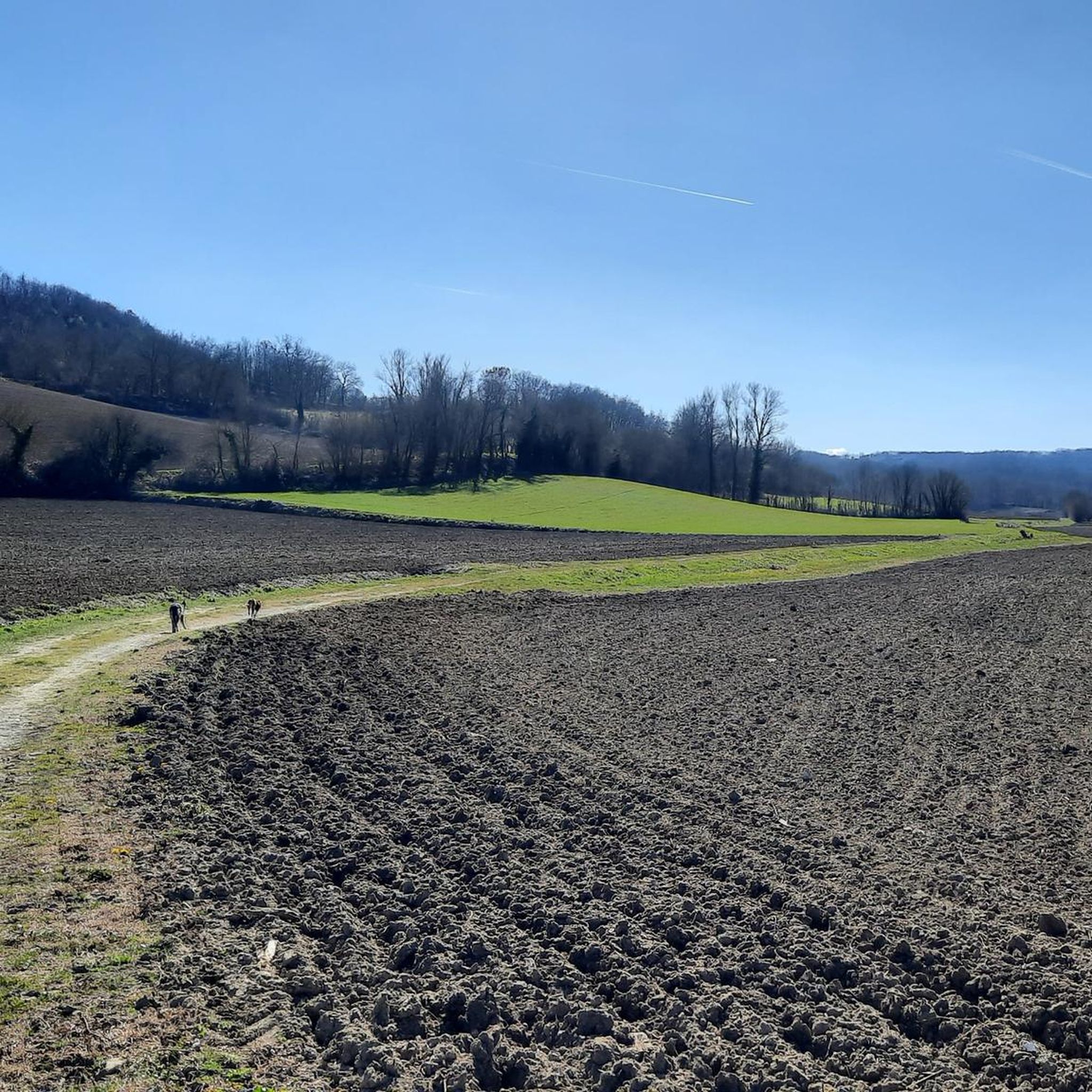
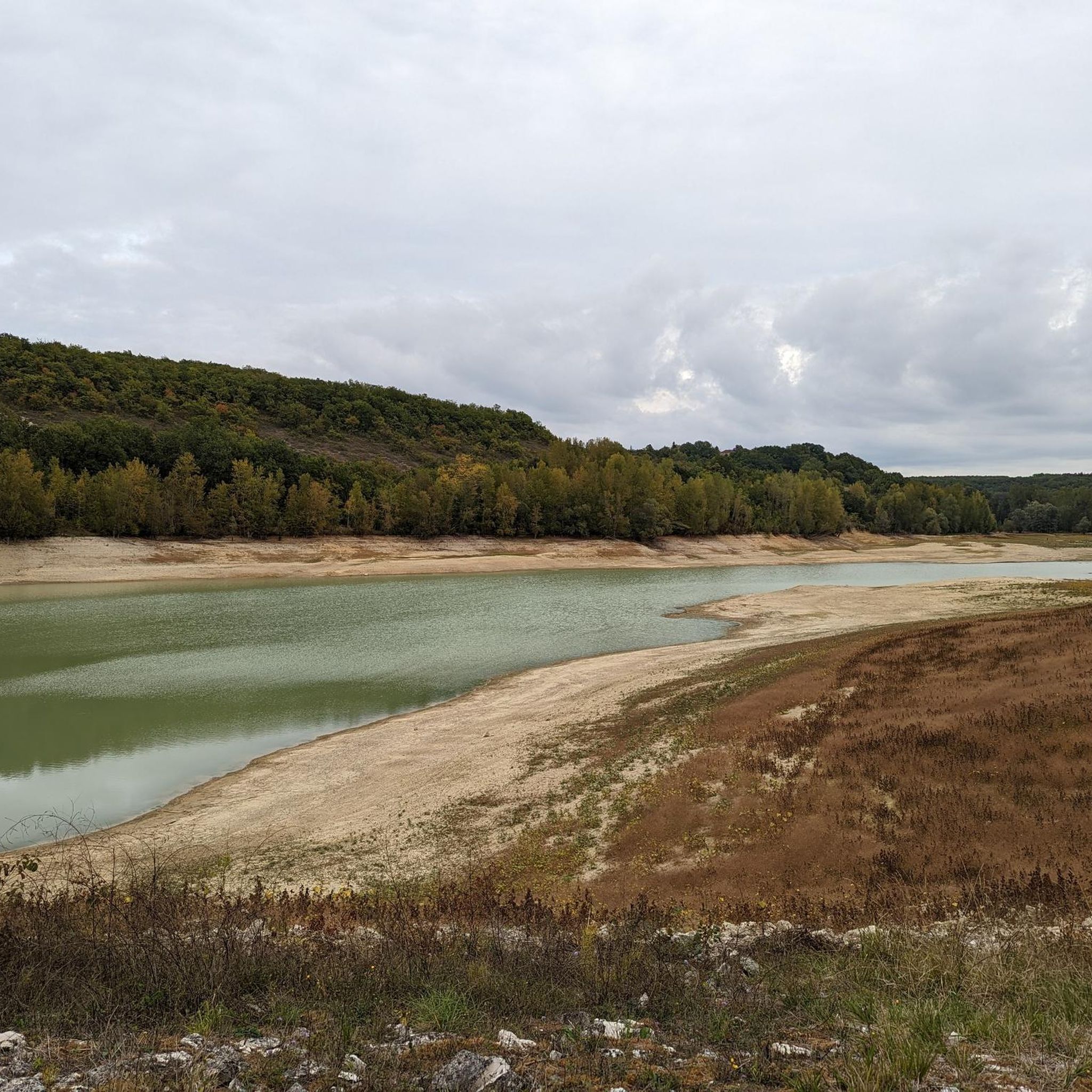
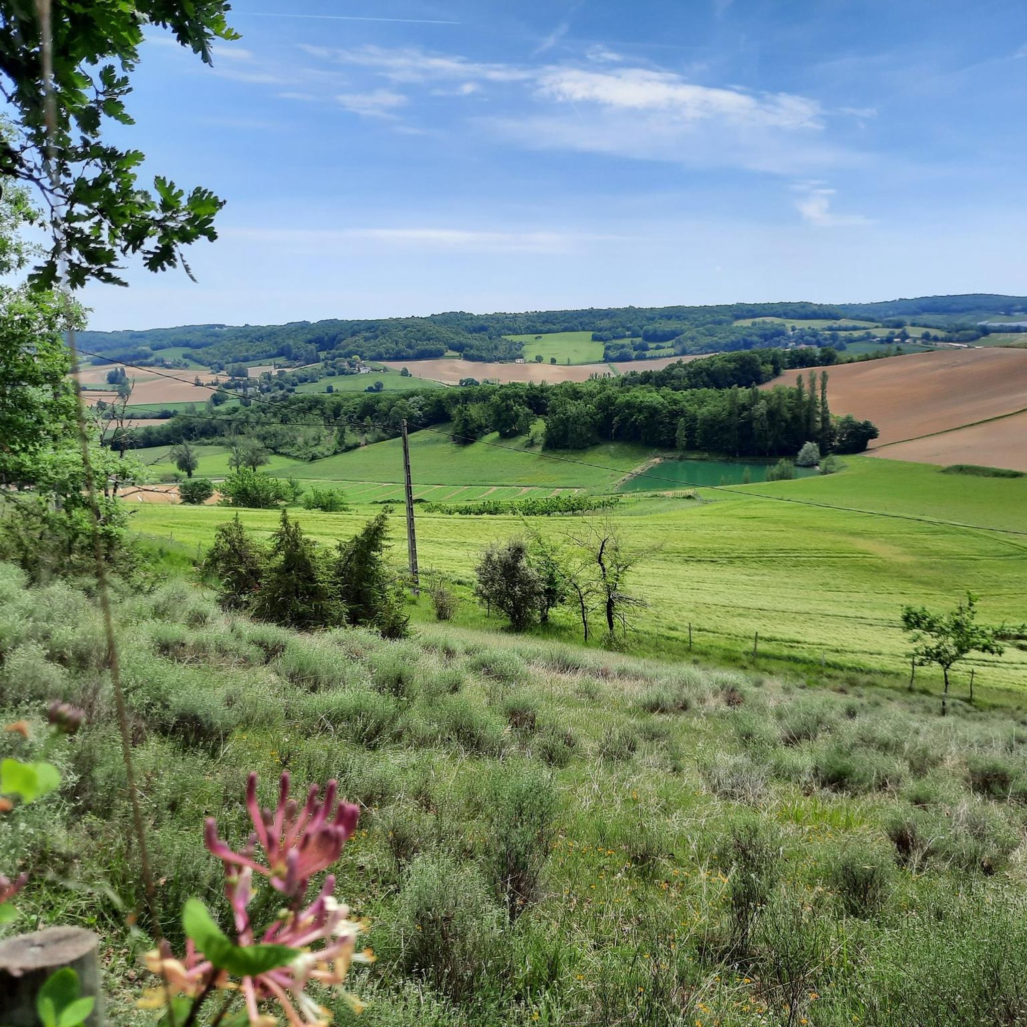
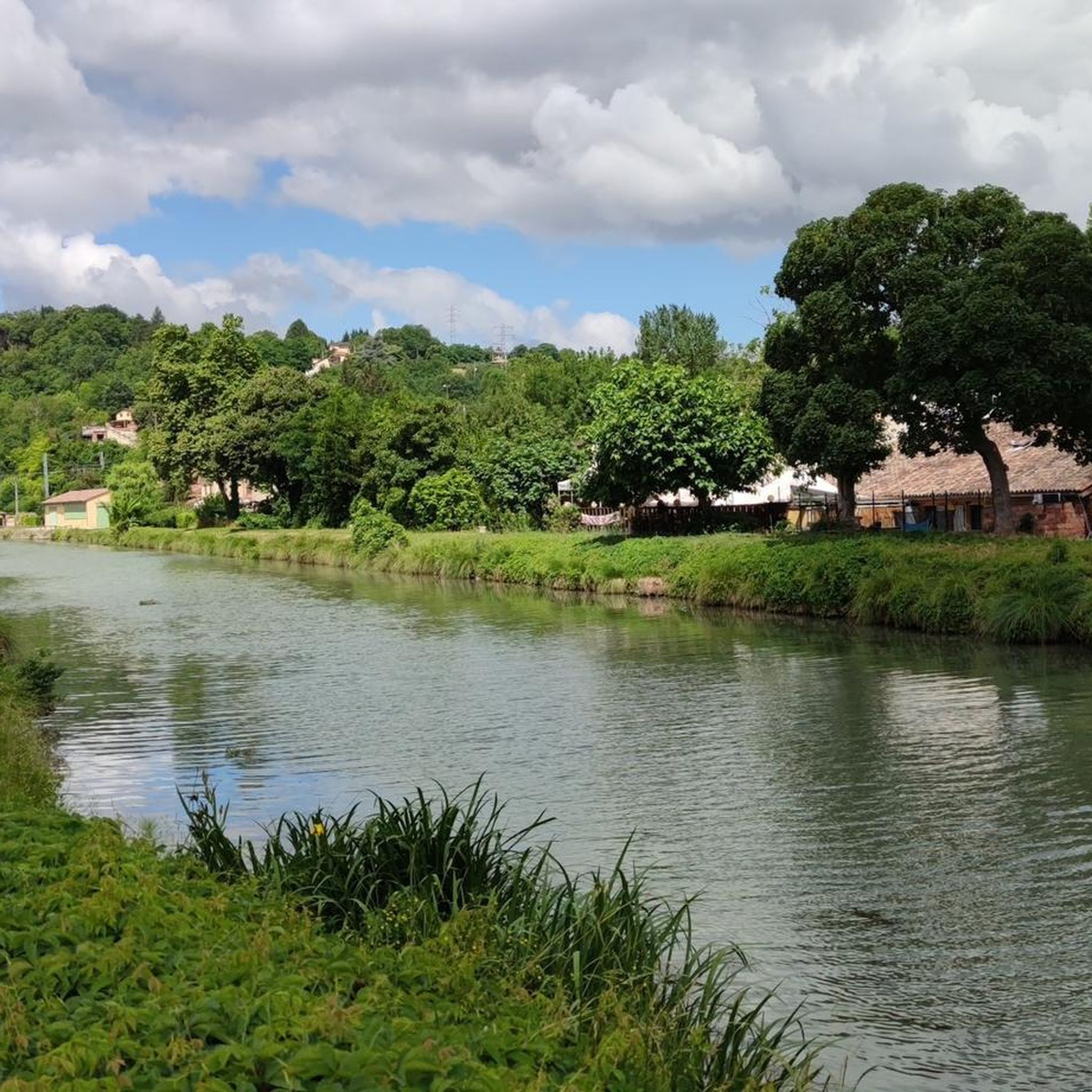
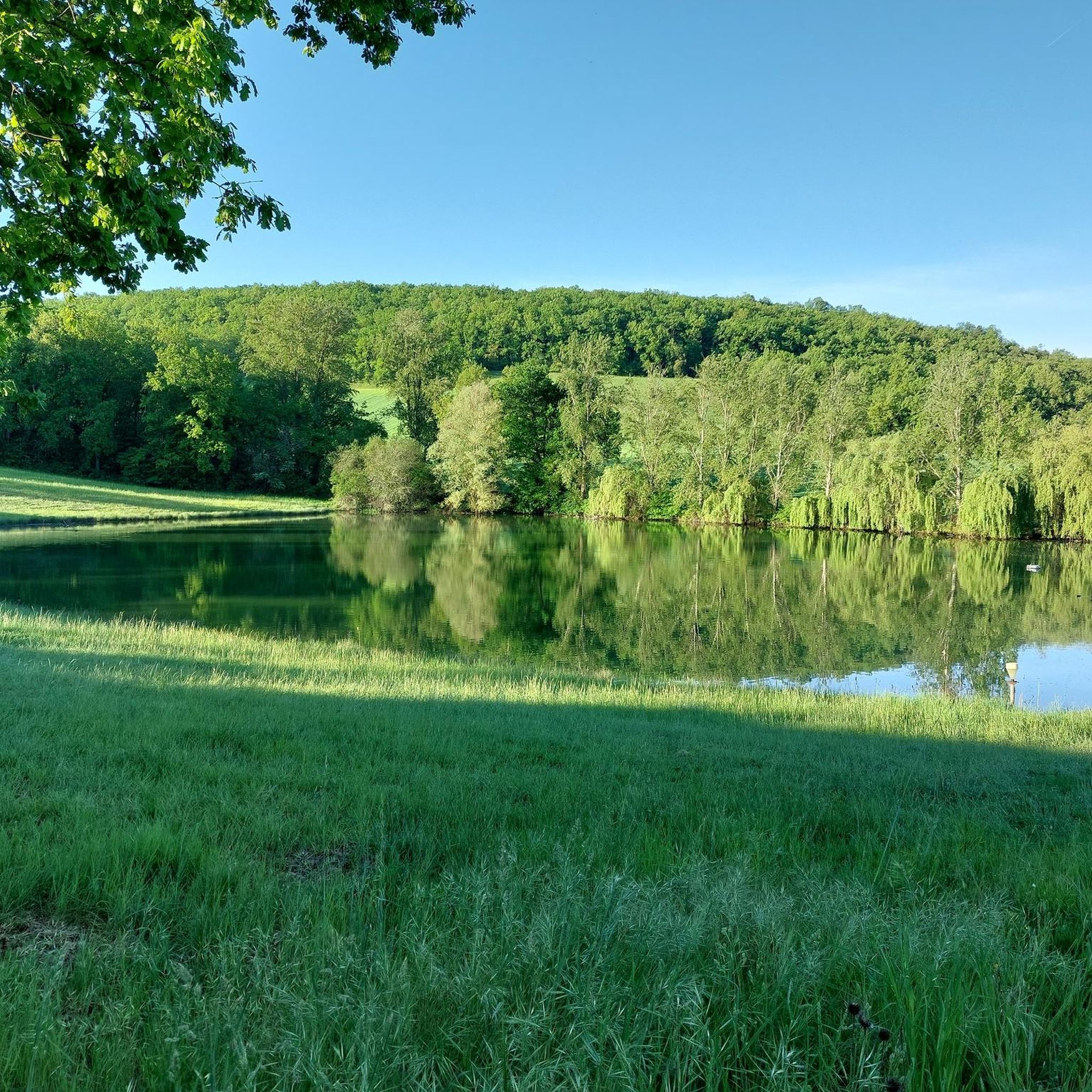
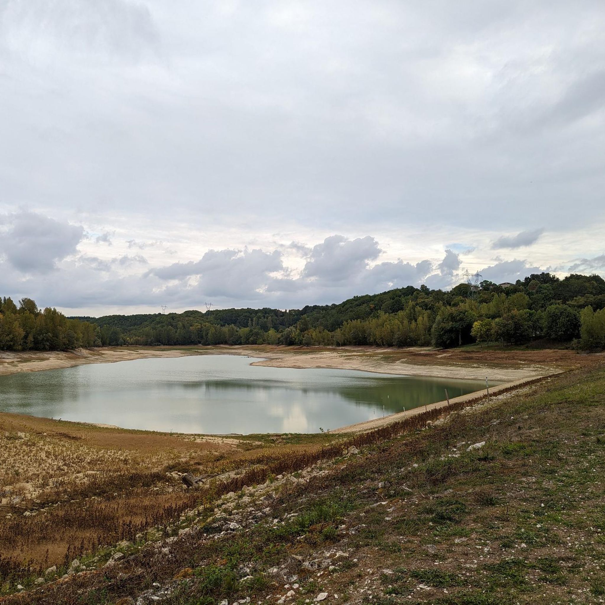
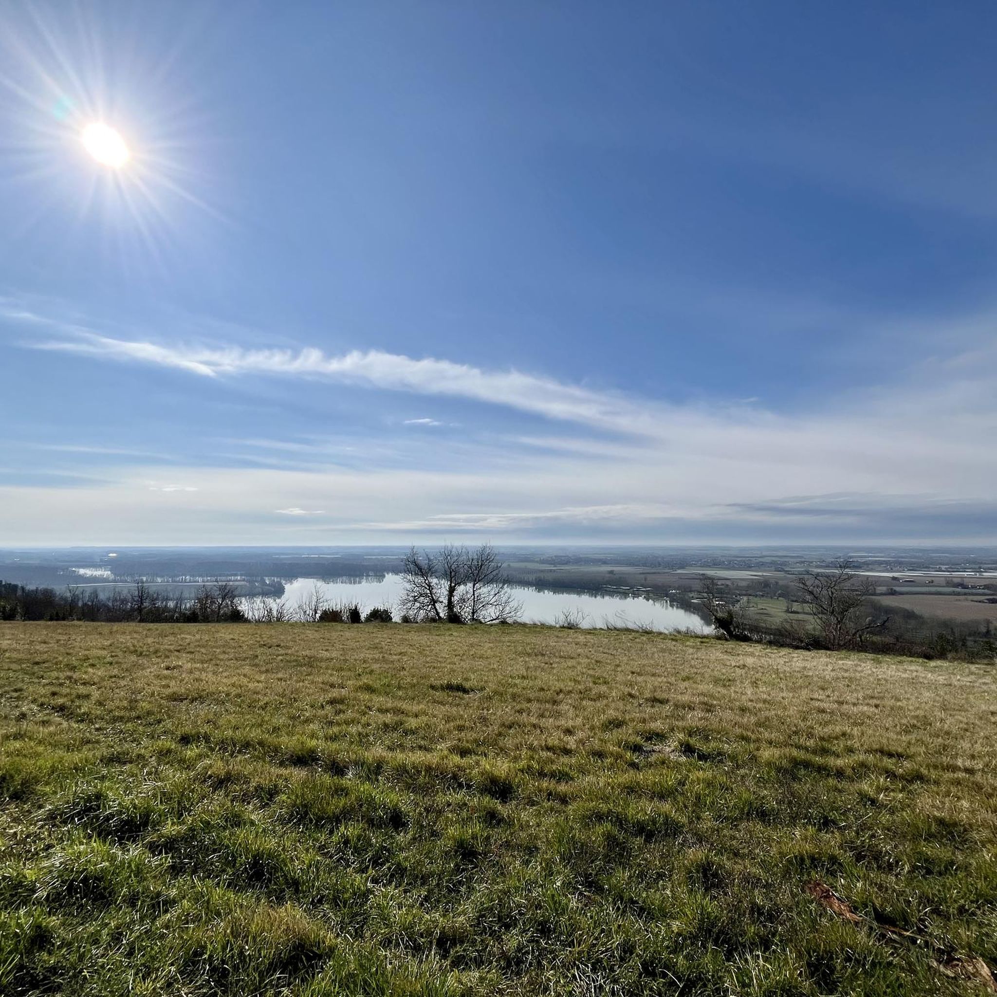
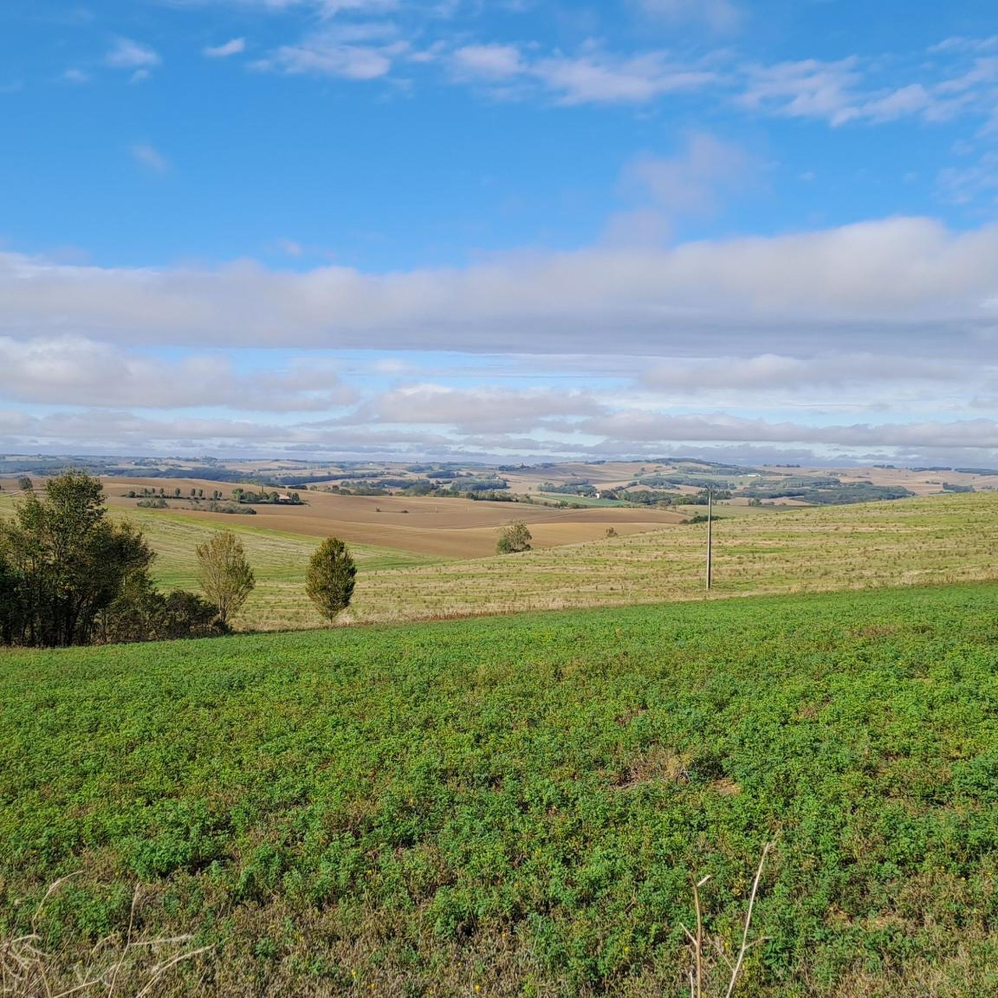
Hiking around Castelsarrasin offers diverse terrain, characterized by its location along the Garonne River and the Canal de Garonne. The region features flat, well-maintained towpaths ideal for easy walks, alongside more varied landscapes including lakes and the unspoiled Quercy Blanc. Hikers can explore riverside trails, historic villages, and agricultural areas, with routes often providing views of the waterways and surrounding countryside.
Best hiking trails around Castelsarrasin
- The most popular hiking route is Lavender Field – View of Montcuq loop from…
Last updated: August 19, 2026
4.7
(50)
274
hikers
23.8km
06:51
570m
560m
Hard hike. Very good fitness required. Easily-accessible paths. Suitable for all skill levels.
4.7
(21)
116
hikers
20.0km
05:39
410m
410m
Hard hike. Very good fitness required. Easily-accessible paths. Suitable for all skill levels.

Sign up for free
4.8
(18)
89
hikers
11.5km
03:25
350m
350m
Moderate hike. Good fitness required. Easily-accessible paths. Suitable for all skill levels.
4.6
(27)
141
hikers
26.5km
07:22
490m
490m
Hard hike. Very good fitness required. Easily-accessible paths. Suitable for all skill levels.
4.5
(13)
88
hikers
Hard hike. Very good fitness required. Easily-accessible paths. Suitable for all skill levels.
4.8
(19)
90
hikers
11.2km
03:20
350m
340m
Moderate hike. Good fitness required. Easily-accessible paths. Suitable for all skill levels.
4.4
(16)
118
hikers
29.3km
07:25
60m
60m
Hard hike. Very good fitness required. Easily-accessible paths. Suitable for all skill levels.
4.4
(10)
49
hikers
20.2km
05:31
310m
310m
Hard hike. Very good fitness required. Easily-accessible paths. Suitable for all skill levels.
5.0
(3)
33
hikers
11.5km
03:10
190m
190m
Moderate hike. Good fitness required. Easily-accessible paths. Suitable for all skill levels.
4.5
(15)
82
hikers
24.5km
07:01
580m
580m
Hard hike. Very good fitness required. Easily-accessible paths. Suitable for all skill levels.
Get access to more routes and recommendations from other explorers.
Sign up for free
Already have an account?
Our route recommendations are based on thousands of hikes, rides, and runs completed by other people on komoot.
Start today with a free account
Your next adventure awaits.
Login or Signup
Popular around Castelsarrasin




Tips from the Community

Built at the end of the 13th century and remodelled in the 18th century following a fire in 1562, then again in 1881, the village church forms a single-nave stone vessel with a polygonal apse. The choir (Radiant Gothic) is covered. The stained glass windows, in very vivid colour ranges, depict the lives of Christ and Saint-Hilaire.
0
0
The original building was completely destroyed by Protestants in the 16th century, during the Wars of Religion. The current church was completely rebuilt in 1890 in a neo-Gothic style very characteristic of that era. Despite its more recent exterior architecture, it houses and preserves precious and interesting Baroque furnishings.
0
0
Located in the municipality of Montcuq-en-Quercy-Blanc in the Lot department. The Romanesque church of Rouillac is located on the Way of Saint James of Compostela, 4 km from Montcuq. Its frescoes are a rare testimony to 12th-century mural paintings: they are composed of 5 scenes relating to Christ and the Old Testament. This church has been classified as a Historic Monument since July 1980.
0
0
Located in the commune of Montcuq-en-Quercy-Blanc in the Lot department. The Romanesque church of Rouillac is located on the Way of Saint James of Compostela, 4km from Montcuq. Its frescoes are a rare testimony to 12th-century mural paintings: they consist of 5 scenes relating to Christ and the Old Testament. This church has been classified as a Historic Monument since July 1980.
0
0
Lauzerte is a magnificent medieval bastide from the 12th century perched on a rocky outcrop. Lauzerte is an essential and mythical stop for pilgrims on the Via Podensis (the route from Le Puy-en-Velay). Founded by the Count of Toulouse, this ancient strategic city has a checkerboard architecture typical of the bastides of the Southwest.
0
0
Lauzerte is a magnificent medieval bastide from the 12th century perched on a rocky spur. Lauzerte is an essential and mythical stop for pilgrims on the Via Podensis (the route from Puy-en-Velay). Founded by the Count of Toulouse, this ancient strategic city features a checkerboard architecture typical of the bastides of the Southwest.
0
0
Lauzerte is a magnificent medieval bastide from the 12th century perched on a rocky spur. Lauzerte is an unmissable and mythical stop for pilgrims on the Via Podensis (the route from Puy-en-Velay). Founded by the Count of Toulouse, this ancient strategic city features a checkerboard architecture typical of the bastides of the Southwest.
0
0
Lauzerte is a magnificent medieval bastide from the 12th century perched on a rocky spur. Lauzerte is an essential and mythical stop for pilgrims on the Via Podensis (the route from Puy-en-Velay). Founded by the Count of Toulouse, this ancient strategic city features a checkerboard architecture typical of the bastides of the Southwest.
0
0
Frequently Asked Questions
How many hiking trails are available around Castelsarrasin?
There are nearly 180 hiking routes around Castelsarrasin, offering a wide variety of options for all skill levels. You'll find everything from easy strolls along the canal to more challenging, longer treks through the countryside.
Are there any easy, family-friendly walks in Castelsarrasin?
Yes, Castelsarrasin offers several easy routes suitable for families. The flat, well-maintained towpaths along the Canal de Garonne are perfect for leisurely walks. For a specific easy option, consider the Lac de Beaumont-de-Lomagne loop from La Bourdette, which is just 2.6 km long and takes less than an hour.
What kind of landscapes can I expect to see while hiking near Castelsarrasin?
The hiking trails around Castelsarrasin showcase diverse landscapes. You'll primarily encounter picturesque waterways, including the Garonne River and the Canal de Garonne, with many shaded towpaths. The region also features tranquil lakes like Fourrières, Monestie, and Trescasses, and the unspoiled, rolling countryside of Quercy Blanc, dotted with charming villages.
Are there any circular walks available in the Castelsarrasin area?
Yes, many of the routes around Castelsarrasin are circular, allowing you to start and end in the same location. An example of a moderate circular route is the Auvillar – Auvillar Circular Market Hall loop from Auvillar, which is about 10.7 km long and takes around 3 hours.
What are some interesting landmarks or attractions I can see on a hike?
Hiking around Castelsarrasin allows you to discover several notable attractions. You can walk along the Canal de Garonne to see the impressive Cacor Canal Bridge. Many routes also lead to or pass through historic villages like Auvillar, known for its unique Circular Market Hall, or Lauzerte, with its beautiful Place des Cornières.
Are there any longer, more challenging hikes for experienced trekkers?
Absolutely. For experienced hikers, there are several difficult routes that offer longer distances and more elevation gain. One such challenging option is the Lavender Field – View of Montcuq loop from Laumède, which spans nearly 27 km and takes over 7 hours to complete, offering expansive views.
What do other hikers enjoy most about hiking in Castelsarrasin?
The hiking routes in Castelsarrasin are highly rated by the komoot community, with an average score of 4.4 stars from over 340 reviews. Hikers often praise the peaceful canal towpaths, the charming historic villages, and the scenic views of the Garonne River and surrounding countryside.
Can I find routes that connect to nearby towns or cultural sites?
Yes, the region's network of trails often connects Castelsarrasin to nearby towns and significant cultural sites. For example, you can find routes that lead towards Moissac, home to the UNESCO World Heritage site of Saint Peter's Abbey Church and Cloister. The Moissac – Moissac Canal loop from Castelsarrasin is a challenging 29.3 km route that explores this connection.
Are there any moderate difficulty hikes around Castelsarrasin?
Yes, there are 90 moderate difficulty routes available. These trails offer a good balance of distance and elevation without being overly strenuous. A good example is the Beautiful view of Lauzerte – Beautiful rest area loop from Lauzerte, which covers about 10.6 km and takes around 3 hours.
Are there hiking trails that offer scenic viewpoints?
Many trails in the Castelsarrasin area provide beautiful scenic viewpoints, especially those that traverse higher ground or overlook the rivers. Routes around Lauzerte, for instance, often feature 'Beautiful view of Lauzerte' in their names, indicating picturesque vistas. The confluence of the Tarn and Garonne rivers near Saint-Nicolas-de-la-Grave also offers lovely views.
What are the best options for a longer day hike in the area?
For a longer day hike, you have several options that can take 7 hours or more. The Bar 'Le Relais Saint Jacques' – Mosaic Shrine Rest Area loop from Cimetière d'Espis is a challenging 29.7 km route that offers an extensive exploration of the local landscape.
Are there any trails that pass by lakes or offer water views beyond the canals?
Beyond the Garonne River and Canal de Garonne, you can find trails that lead to or around local lakes. The lakes of Fourrières, Monestie, and Trescasses are known for providing tranquil environments and walking paths, offering a different kind of water-focused hiking experience.
Most popular routes around Castelsarrasin
Most popular attractions around Castelsarrasin

Get inspired with the komoot mobile app


Didn’t find what you were looking for?
Check out more Hikes throughout Castelsarrasin below and find the perfect route in your destination.
Explore more
Browse the best Hikes in other regions.
