The best MTB trails around Font-Romeu-Odeillo-Via
4.6
(195)
1,527
riders
43
rides
Mountain bike trails Font-Romeu-Odeillo-Via popular for their diverse terrain within the French Pyrénées Mountains. The region features rugged mountain scenery, alpine forests, and high mountain passes. Riders can expect varied landscapes, from challenging ascents to technical descents, with routes often winding through forested areas. This mountainous environment provides a range of options for mountain biking.
Best mountain bike trails in Font-Romeu-Odeillo-Via
- The most popular mountain bike trail is Lac des Bouillouses – Pla de Barrès - 1651 m loop from Font-Romeu-Odeillo-Via, a 17.2 miles (27.7 km) trail that takes 2 hours 25 minutes to complete. This moderate route offers views of mountain lakes and alpine scenery.
- Another top favourite among local mountain bikers is Sheepfold of the Jasse d'Amunt – Pic dels Moros (2,138 m) loop from Font-Romeu-Odeillo-Via, a moderate 16.1 miles (25.9 km) path. It features varied terrain with ascents and descents through mountain landscapes.
- Local mountain bikers also love the Pla de Barrès - 1651 m – Estany de la Pradella loop from Font-Romeu-Odeillo-Via, a 32.0 miles (51.5 km) trail leading through high mountain passes, often completed in about 5 hours 8 minutes.
- Mountain biking around Font-Romeu-Odeillo-Via is defined by Pyrénées Mountains, alpine forests, and diverse terrain. The network offers options for various ability levels, from moderate paths to more challenging routes.
- The routes in Font-Romeu-Odeillo-Via are highly rated by the komoot community with an average score of 4.5 stars from over 200 reviews. More than 1800 mountain bikers have used komoot to explore Font-Romeu-Odeillo-Via's varied terrain.
Last updated: October 15, 2026
4.4
(26)
185
riders
Moderate mountain bike ride. Good fitness required. Suitable for all skill levels.
4.7
(41)
214
riders
Moderate mountain bike ride. Good fitness required. Advanced riding skills necessary.

4.5
(24)
220
riders
49.6km
04:58
1,240m
1,240m
Hard mountain bike ride. Very good fitness required. Advanced riding skills necessary.
4.8
(16)
157
riders
47.4km
04:37
880m
880m
Hard mountain bike ride. Good fitness required. Advanced riding skills necessary. Some portions of the route may require you to push your bike.
4.6
(42)
239
riders
44.3km
04:33
1,260m
1,260m
Hard mountain bike ride. Very good fitness required. Advanced riding skills necessary.
Get access to more routes and recommendations from other explorers.
Already have an account?
Our route recommendations are based on thousands of hikes, rides, and runs completed by other people on komoot.
Start today with a free account
Your next adventure awaits.
Popular around Font-Romeu-Odeillo-Via
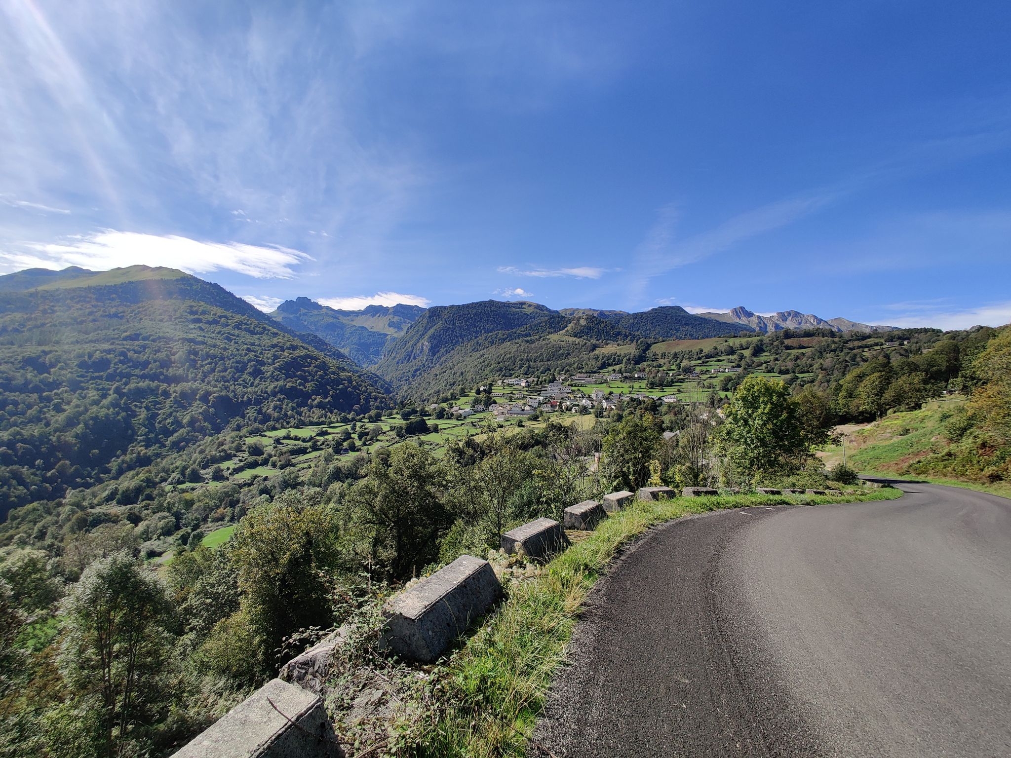
From the Atlantic to the Mediterranean – Route des Cols in the Pyrénées
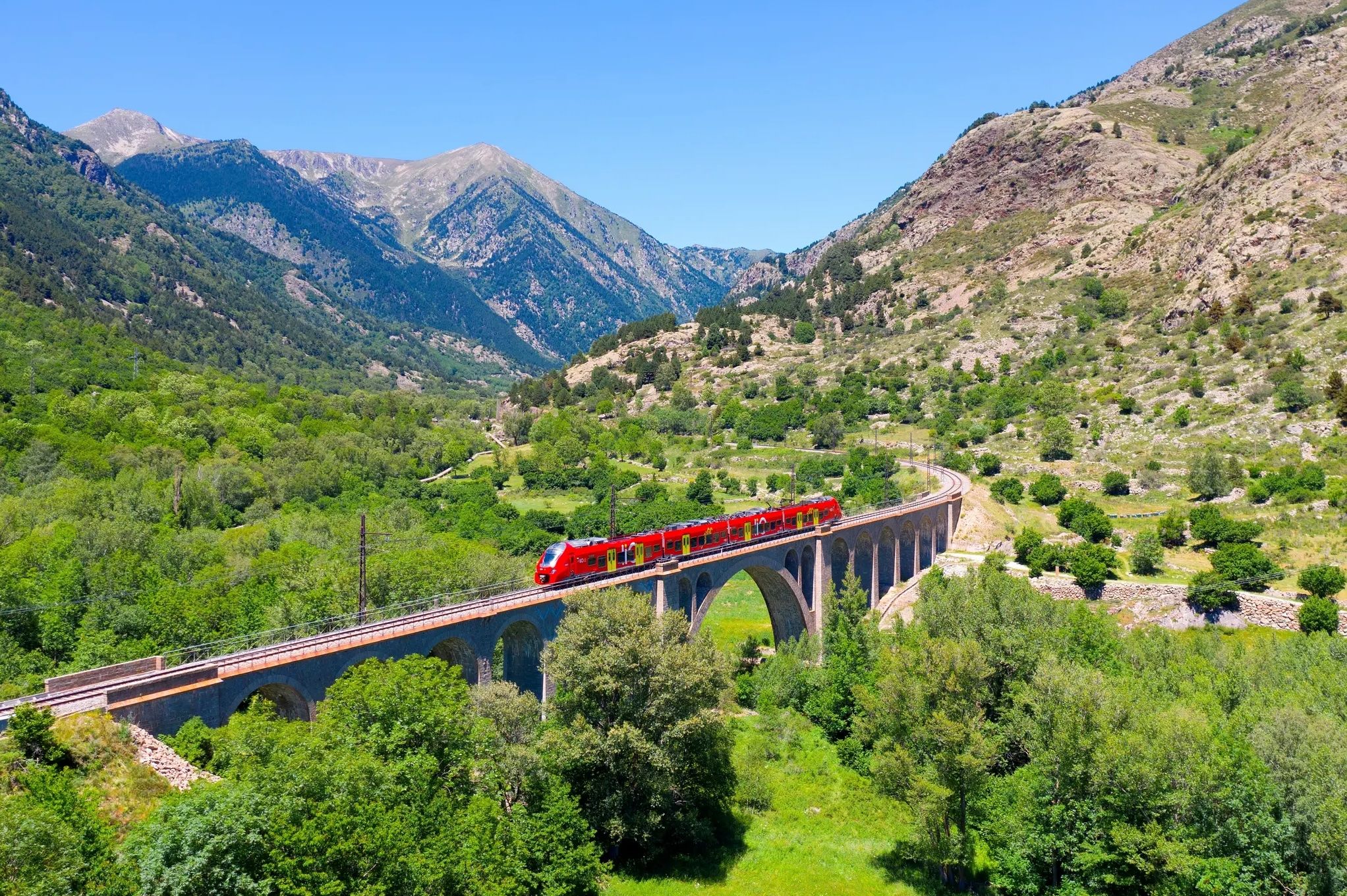
Occitanie Rail Tour – by train and on foot through Occitania
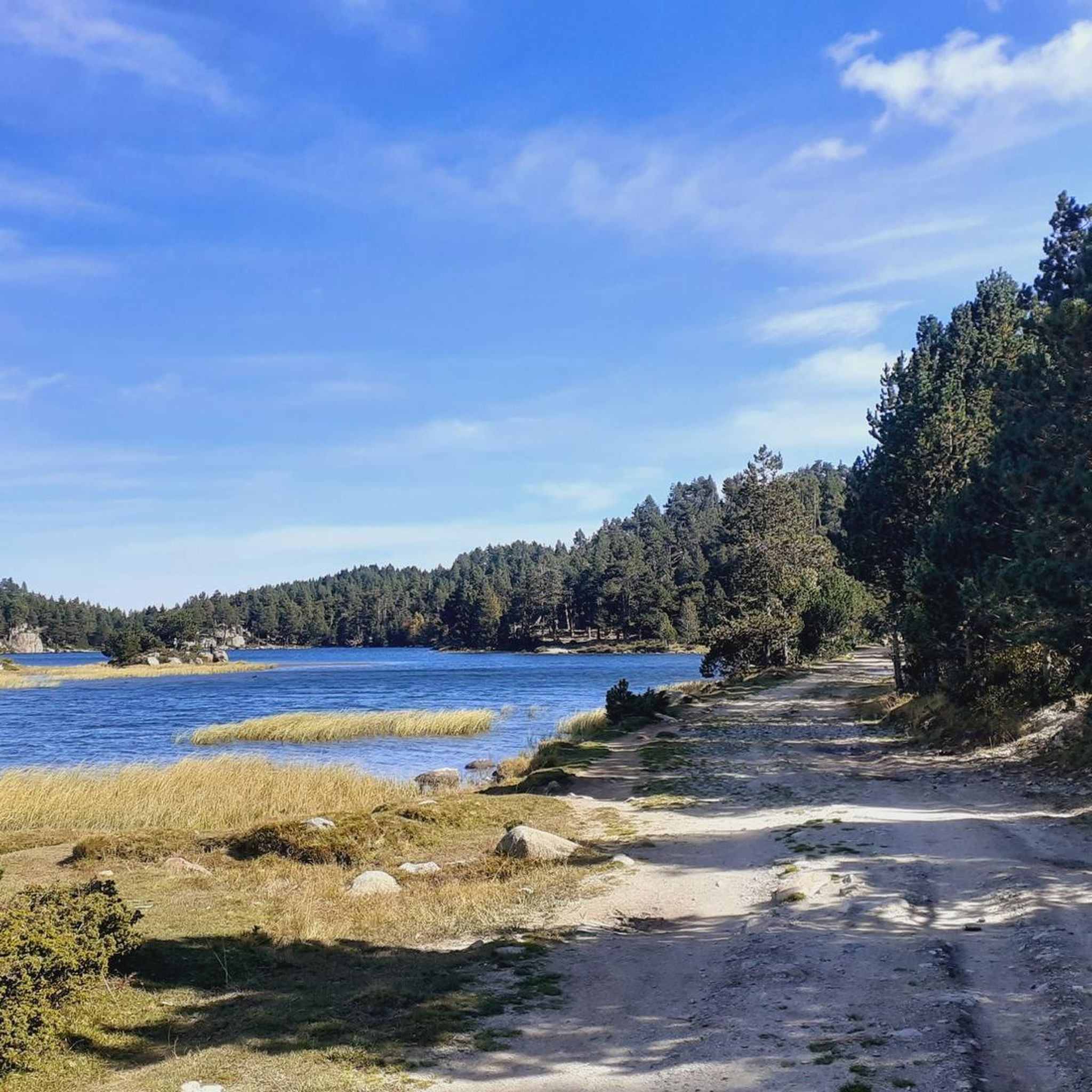
Road Cycling Routes around Font-Romeu-Odeillo-Via
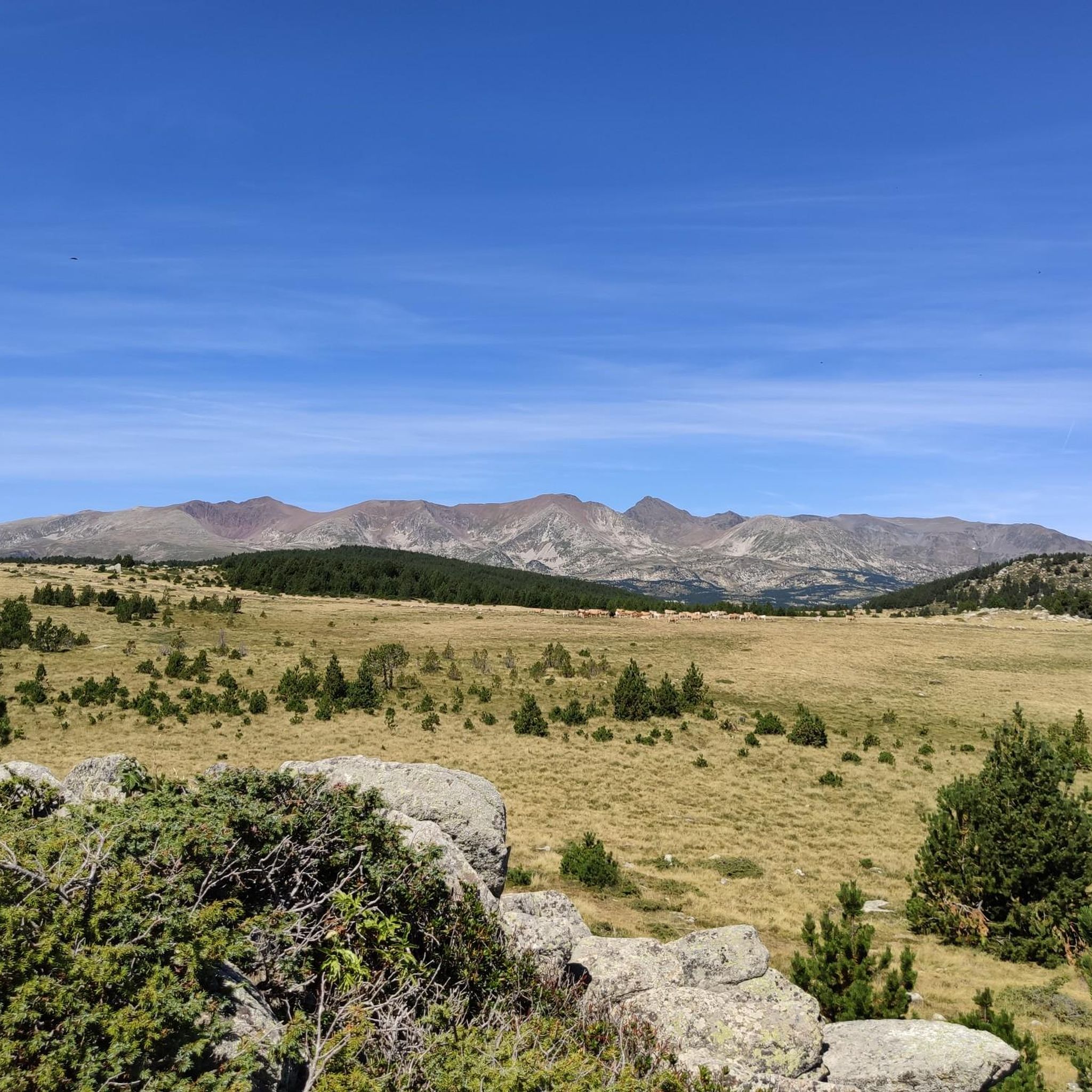
Hiking around Font-Romeu-Odeillo-Via
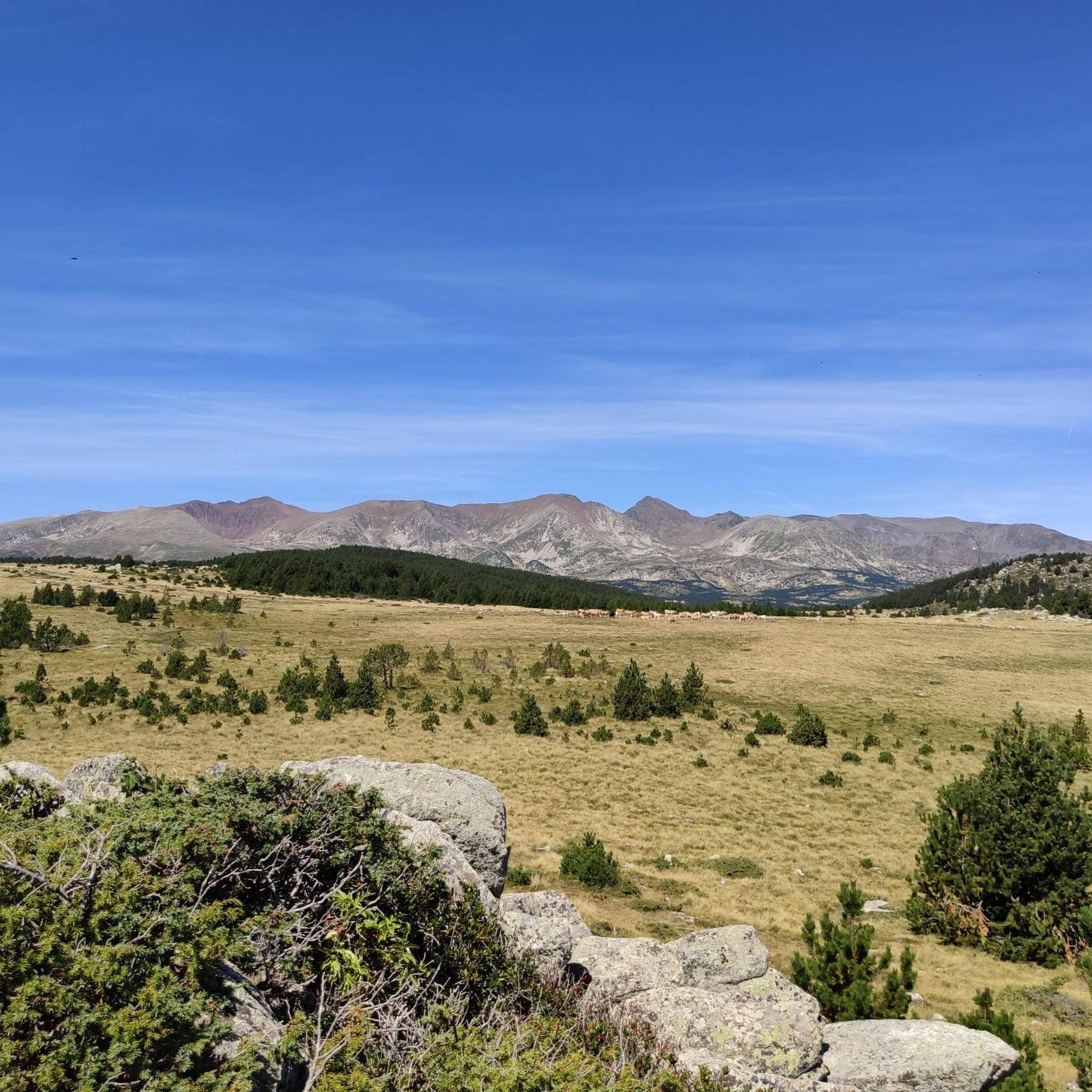
Running Trails around Font-Romeu-Odeillo-Via
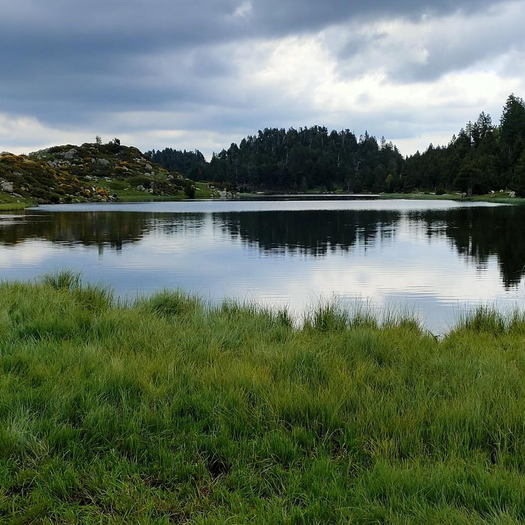
Cycling around Font-Romeu-Odeillo-Via
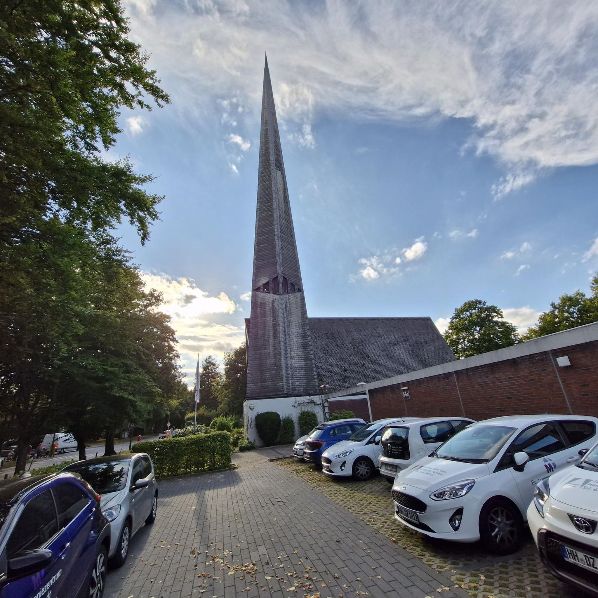
Gravel biking around Font-Romeu-Odeillo-Via
Mountain Hikes around Font-Romeu-Odeillo-Via


Tips from the Community

Tricky passages with fun flow
0
0


Well, starting from Font Romeu and breaking legs from Mont Louis
0
0

Estany de la Pradella, also called the pond or lake of Pradeilles, is a beautiful mountain lake in the Pyrénées-Orientales. A superb setting for cycling in the heart of nature.
0
0

The road is omnipresent, which is a shame because the site is pleasant and very accessible.
0
0

magnificent landscapes, restoration on the bouillouses
0
0
e2e22e22iii89888888cc8. >.>>+8+++>+>+>^>/^<[>>>××>>>>×>8>>>>×8>×>>>×>>>>>> [>>>>>>>>>8888>8>>[>8>>>>>>×>>×>>>>>>>>>>>>>>>>>>÷÷888>> 8>>>²>>88>.989>>>>>>8>8>8<<>>>9>>>×>>>88>8>88>8>>>8>>>> 8>8>8>>>>>>>>× /<_8>8, 8, 2, II, 8>> 2>2>2, ministre ii8i8ik>=i8. ,ezz 2+> , ÷> 222222222,222222222222222222>2 n
0
0

The Col de la Calvaire de Font Romeu is a mountain pass in French Cerdanya, next to the town and ski resort of Font Romeu. This port connects the Bolquère valley with the Cerdanya valley. The port is within the same town of Font Romeu, next to the station's ski lifts. There are many slopes to reach Col de la Calvaire: - the western slope that starts from Ur is approximately 16 km and crosses the town of Targasone and the Col d'Egat. It is a very steep climb along a road in perfect condition, although on holidays there is a lot of traffic. - The southern slope starts from Llívia and crosses Estavar and joins the previous one at the Col d'Egat. Unlike the first, the first section of the climb is very hard, with several horseshoe curves and with wonderful views of the entire Cerdanya and the Tosa d'Alp. - The eastern slope stops at Olette, and after approximately 28 km it reaches the top of the pass, passing through the town of Mont-Louis and Bolquère. It is a very steep climb, like the first, on a road in perfect condition but with a lot of traffic. I don't like going up here. - the eastern slope that starts from Olette and passes through the Col de la Perche, reaching the town of Font-Romeu and from there to the top. Of all the slopes, the one I like the most is the slope that starts from Llívia and crosses Estavar.
0
0
Frequently Asked Questions
How many mountain bike trails are available in Font-Romeu-Odeillo-Via?
There are over 45 mountain bike trails around Font-Romeu-Odeillo-Via, offering a wide range of options for different skill levels and preferences.
What kind of terrain can I expect on mountain bike trails in Font-Romeu-Odeillo-Via?
The region offers diverse terrain, from rugged mountain scenery and alpine forests to high mountain passes. You can expect a mix of challenging ascents, technical descents, and winding paths through forested areas, characteristic of the French Pyrénées Mountains.
Are there mountain bike trails suitable for beginners in Font-Romeu-Odeillo-Via?
Yes, there are 8 easy mountain bike trails in the area, perfect for beginners or those looking for a more relaxed ride. These routes often feature less elevation gain and smoother paths.
What options are there for experienced mountain bikers looking for a challenge?
For experienced riders, Font-Romeu-Odeillo-Via offers 8 difficult trails, featuring challenging terrain, steep slopes, and technical sections. Routes like the Pla de Barrès - 1651 m – Estany de la Pradella loop from Font-Romeu-Odeillo-Via provide significant elevation changes and longer distances.
What scenic views or natural landmarks can I expect to see while mountain biking in Font-Romeu-Odeillo-Via?
Many trails offer stunning views of the Pyrénées Mountains. You might encounter serene mountain lakes like Viver Lake or Lake Aude, and pass through beautiful alpine forests. The region is also home to impressive peaks such as Summit of Pic Carlit and Peak of the Moors.
Are there any circular mountain bike routes in the area?
Yes, many of the mountain bike trails in Font-Romeu-Odeillo-Via are circular. For example, the popular Lac des Bouillouses – Pla de Barrès - 1651 m loop from Font-Romeu-Odeillo-Via is a moderate 17.2-mile circular route offering views of mountain lakes and alpine scenery.
What is the best time of year for mountain biking in Font-Romeu-Odeillo-Via?
The region generally enjoys a favorable climate for biking, with conditions often described as perfect, not too hot or cold, with blue skies and dry trails, particularly in the shoulder seasons. Summer also offers excellent conditions for exploring the high mountain trails.
Are there family-friendly mountain biking options in Font-Romeu-Odeillo-Via?
While specific family-friendly routes are not detailed, the presence of easy trails suggests options suitable for families. Additionally, the Parc Aventure Font Romeu offers zip lines and other activities, complementing a family outdoor experience.
What do other mountain bikers enjoy the most about mountain biking in Font-Romeu-Odeillo-Via?
The area is highly rated by the komoot community, with an average score of 4.5 stars from over 200 reviews. Mountain bikers often praise the diverse terrain, stunning mountain views, and the variety of routes available for different skill levels.
Are there mountain bike trails that lead to or pass by Lac des Bouillouses?
Yes, the Lac des Bouillouses – Pla des Avellans loop from Pla de la Creu is a moderate 18.6-mile route that takes you past this serene mountain lake. Another option is the Sheepfold of the Jasse d'Amunt – Lac des Bouillouses loop from Font-Romeu-Odeillo-Via, which also features the lake.
Is public transport available to access mountain bike trailheads?
While specific public transport links to all trailheads are not detailed, the Lac des Bouillouses, a significant natural attraction, is accessible by bus and chairlift during peak seasons, which might provide access to nearby trails.
Are there any less crowded mountain bike trails in Font-Romeu-Odeillo-Via?
Compared to other mountain ranges, the Pyrenees can have less hiking traffic, which can be a plus for mountain bikers seeking more open trails. Exploring some of the less popular moderate or difficult routes might offer a more secluded experience.
Most popular routes around Font-Romeu-Odeillo-Via
Most popular attractions around Font-Romeu-Odeillo-Via

Get inspired with the komoot mobile app


Explore more
Browse the best MTB trails in other regions.
