The best walks and hikes around Saulx-Les-Chartreux
4.5
(1140)
9,851
hikers
12
hikes
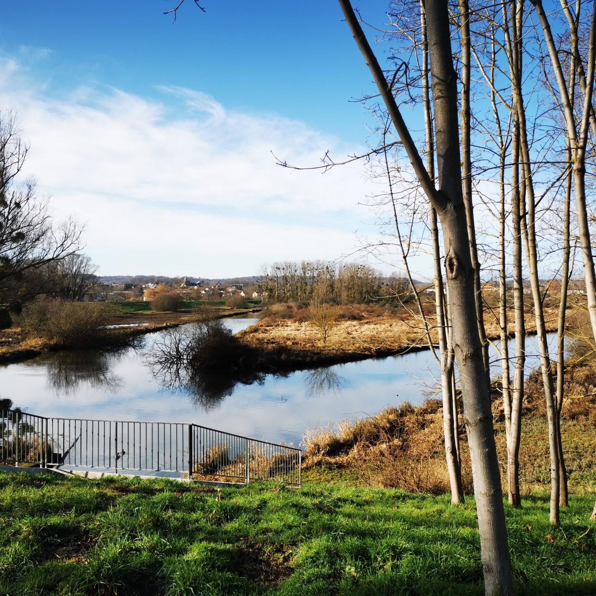
Hiking around Saulx-les-Chartreux offers diverse landscapes within the Hurepoix region, characterized by its well-preserved natural and agricultural areas. The commune features significant forestland, including the Forêt Départementale du Rocher de Saulx, and the Yvette river valley. A permanent lake, Lac de Saulx-les-Chartreux, provides a focal point for walks, while extensive agricultural plains contribute to the rural terrain.
Best hiking trails around Saulx-Les-Chartreux
- The most popular hiking route is Saulx Basin loop from Longjumeau, a 1.8 miles (2.9 km) trail…
Last updated: July 2, 2026
5.0
(1)
62
hikers
2.87km
00:44
10m
10m
Easy hike. Great for any fitness level. Easily-accessible paths. Suitable for all skill levels.
4.7
(3)
51
hikers
Easy hike. Great for any fitness level. Easily-accessible paths. Suitable for all skill levels.

Sign up for free
4.8
(4)
28
hikers
9.75km
02:39
140m
140m
Moderate hike. Good fitness required. Easily-accessible paths. Suitable for all skill levels.
5.0
(1)
75
hikers
5.08km
01:19
30m
30m
Easy hike. Great for any fitness level. Easily-accessible paths. Suitable for all skill levels.
3.7
(3)
7
hikers
11.6km
03:08
160m
160m
Moderate hike. Good fitness required. Easily-accessible paths. Suitable for all skill levels.
Get access to more routes and recommendations from other explorers.
Sign up for free
Already have an account?
Our route recommendations are based on thousands of hikes, rides, and runs completed by other people on komoot.
Start today with a free account
Your next adventure awaits.
Login or Signup


Tips from the Community

This trail is a fun downhill trail with some roots, perfect for testing your mountain biking skills. In wet weather, there is a bit of mud. In autumn, the leaves add a nice little obstacle.
1
0

A little too steep to be able to do it uphill, although the start is welcoming.
0
0


Super technical descent with banked turns! Short but great! The photo is the entrance… so as not to miss it 😅👍🏻
0
0

Large fresco tagged under the bridge.
0
0
Decent very nice with banked turns that zigzag on the way down. to do by mountain bike - guaranteed sensation: o)
0
0
Nice view, near many small paths and single track.
1
0

Frequently Asked Questions
How many hiking trails are there in Saulx-Les-Chartreux?
Saulx-Les-Chartreux offers a selection of 12 hiking routes. These include 7 easy trails and 5 moderate options, providing a variety of experiences for different fitness levels.
What kind of landscapes can I expect to see on hikes in Saulx-Les-Chartreux?
The hiking trails in Saulx-Les-Chartreux traverse diverse landscapes, including significant forestland like the Forêt Départementale du Rocher de Saulx, the scenic Yvette river valley, and expansive agricultural plains. You'll also find routes around the permanent Lac de Saulx-les-Chartreux, offering a mix of natural and rural scenery.
Are there any easy hiking options suitable for families or beginners?
Yes, Saulx-Les-Chartreux has 7 easy hiking routes perfect for families or those new to hiking. An example is the Saulx Basin loop from Longjumeau, which is a short and gentle trail exploring the local basin area.
Can I find circular hiking routes in Saulx-Les-Chartreux?
Yes, many of the routes in Saulx-Les-Chartreux are circular, allowing you to start and end at the same point. For instance, the View of the Petite Vallée – Descent of the Rocher de Saulx loop from Villejust is a popular circular option that takes you through varied terrain.
What natural attractions or landmarks can I see while hiking?
While hiking, you can explore several natural attractions. The La Troche Quarry showcases geological layers, and the Vallée-aux-Loups Arboretum offers beautiful forest scenery. The Lac de Saulx-les-Chartreux, with its 'Île aux Oiseaux' nature reserve, is also a key attraction for walkers.
Are the hiking trails in Saulx-Les-Chartreux dog-friendly?
Many of the natural spaces and trails in Saulx-Les-Chartreux, including the Forêt Départementale du Rocher de Saulx and paths around the Lac de Saulx-les-Chartreux, are generally dog-friendly. However, it's always recommended to keep dogs on a leash, especially in protected areas or near wildlife, and to check specific trail regulations.
What is the best time of year to go hiking in Saulx-Les-Chartreux?
Saulx-Les-Chartreux is enjoyable for hiking throughout the year. Spring and autumn offer pleasant temperatures and vibrant natural colors, while summer is ideal for longer days. Even in winter, the forest paths and rural plains provide a peaceful walking experience.
Is there public transport access to the hiking trailheads?
Saulx-Les-Chartreux is accessible by public transport, with local bus services connecting to nearby towns and train stations. Checking local bus routes and schedules is recommended to plan your access to specific trailheads.
Where can I park when visiting the hiking trails?
Parking is generally available at various points around Saulx-Les-Chartreux, particularly near popular natural areas and town centers. Specific parking information for individual trailheads can often be found on local signage or detailed route descriptions.
Are there any accessible walks for people with reduced mobility?
Yes, the Parc des Sources in Saulx-Les-Chartreux is designed to be accessible, including for people with reduced mobility. It features a diverse environment with a wetland and pond, offering a pleasant and inclusive walking experience.
What do other hikers say about the trails in Saulx-Les-Chartreux?
The trails in Saulx-Les-Chartreux are highly rated by the komoot community, with an average score of 4.5 stars from over 1000 reviews. Hikers often praise the varied terrain, which includes quiet forest paths, scenic river valleys, and peaceful agricultural plains, providing a refreshing escape into nature.
Are there any longer or more challenging hikes available?
While many routes are easy, Saulx-Les-Chartreux also offers moderate options for those seeking a longer challenge. For example, the View of the Petite Vallée – Beautiful descent loop from Longjumeau is a moderate 11.6 km trail with notable elevation changes, taking around 3 hours to complete.
Can I find routes that follow the Yvette River?
Yes, the Yvette River valley is an integral part of the area's natural appeal, and several hiking circuits follow its course. These routes allow you to enjoy the river's contribution to the rich local ecosystem and its scenic surroundings.
Most popular routes around Saulx-Les-Chartreux
Most popular attractions around Saulx-Les-Chartreux

Get inspired with the komoot mobile app


Explore more
Browse the best Hikes in other regions.
