The best cycling routes around Ruelisheim
4.4
(1640)
13,109
riders
474
rides
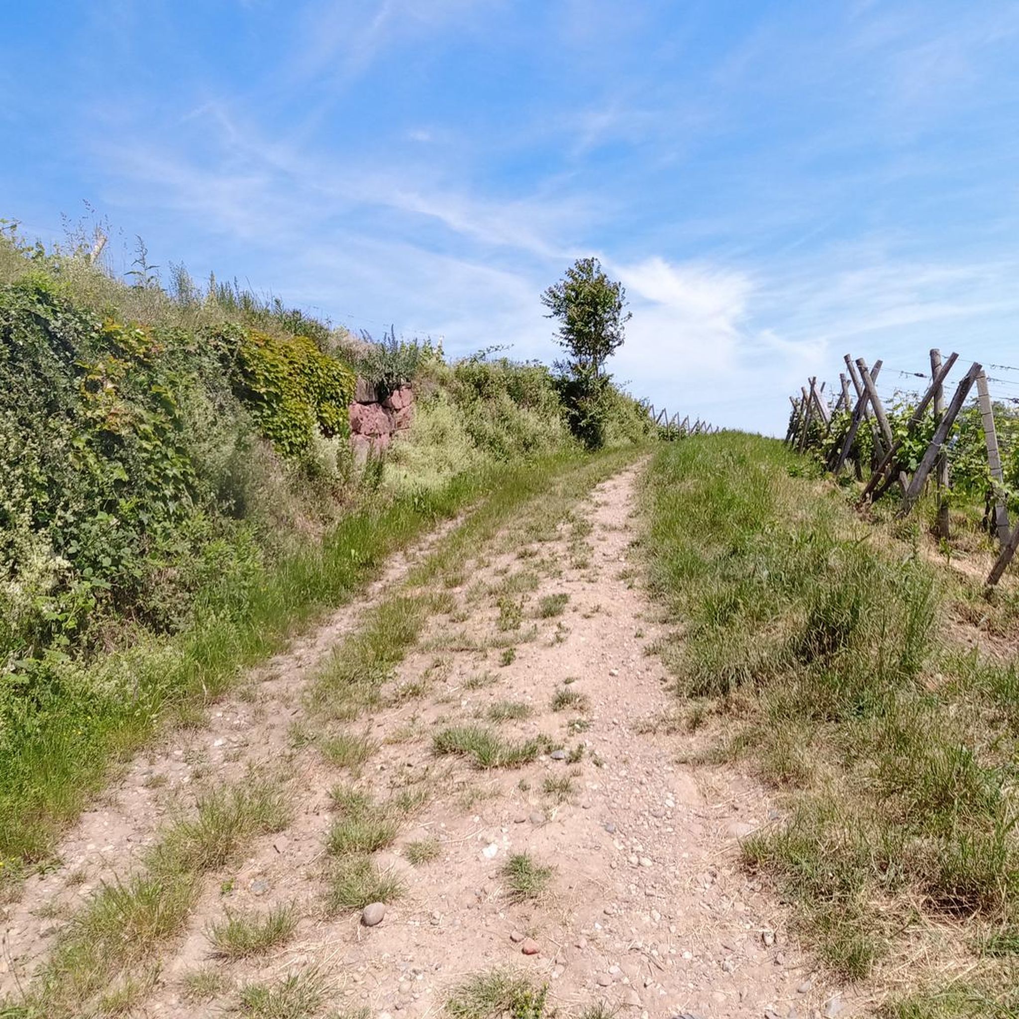
Touring cycling routes around Ruelisheim traverse the plains of Alsace, characterized by the presence of waterways such as the Ill, Thur, and Quatelbach rivers. The commune itself is situated at an altitude between 221m and 234m, offering generally flat terrain ideal for cycling. Nearby, the Nonnenbruch forest provides extensive natural areas, while the distant Vosges Mountains offer a scenic backdrop. This landscape composition supports a variety of cycling experiences, from easy riverside paths to routes through agricultural land.
Best touring…
Last updated: June 29, 2026
4.2
(6)
17
riders
39.5km
02:43
60m
60m
Moderate bike ride. Good fitness required. Some segments of this route may be unpaved and difficult to ride.
4.1
(14)
95
riders
Easy bike ride. Great for any fitness level. Mostly paved surfaces. Suitable for all skill levels.

Sign up for free
5.0
(3)
5
riders
70.3km
04:03
150m
150m
Moderate bike ride. Good fitness required. Mostly paved surfaces. Suitable for all skill levels.
5.0
(2)
20
riders
15.7km
00:55
20m
20m
Hard bike ride. Great for any fitness level. You may need to push your bike for some segments of this route.
5.0
(2)
28
riders
11.1km
00:39
30m
30m
Easy bike ride. Great for any fitness level. Mostly paved surfaces. Suitable for all skill levels.
Get access to more routes and recommendations from other explorers.
Sign up for free
Already have an account?
Our route recommendations are based on thousands of hikes, rides, and runs completed by other people on komoot.
Start today with a free account
Your next adventure awaits.
Login or Signup
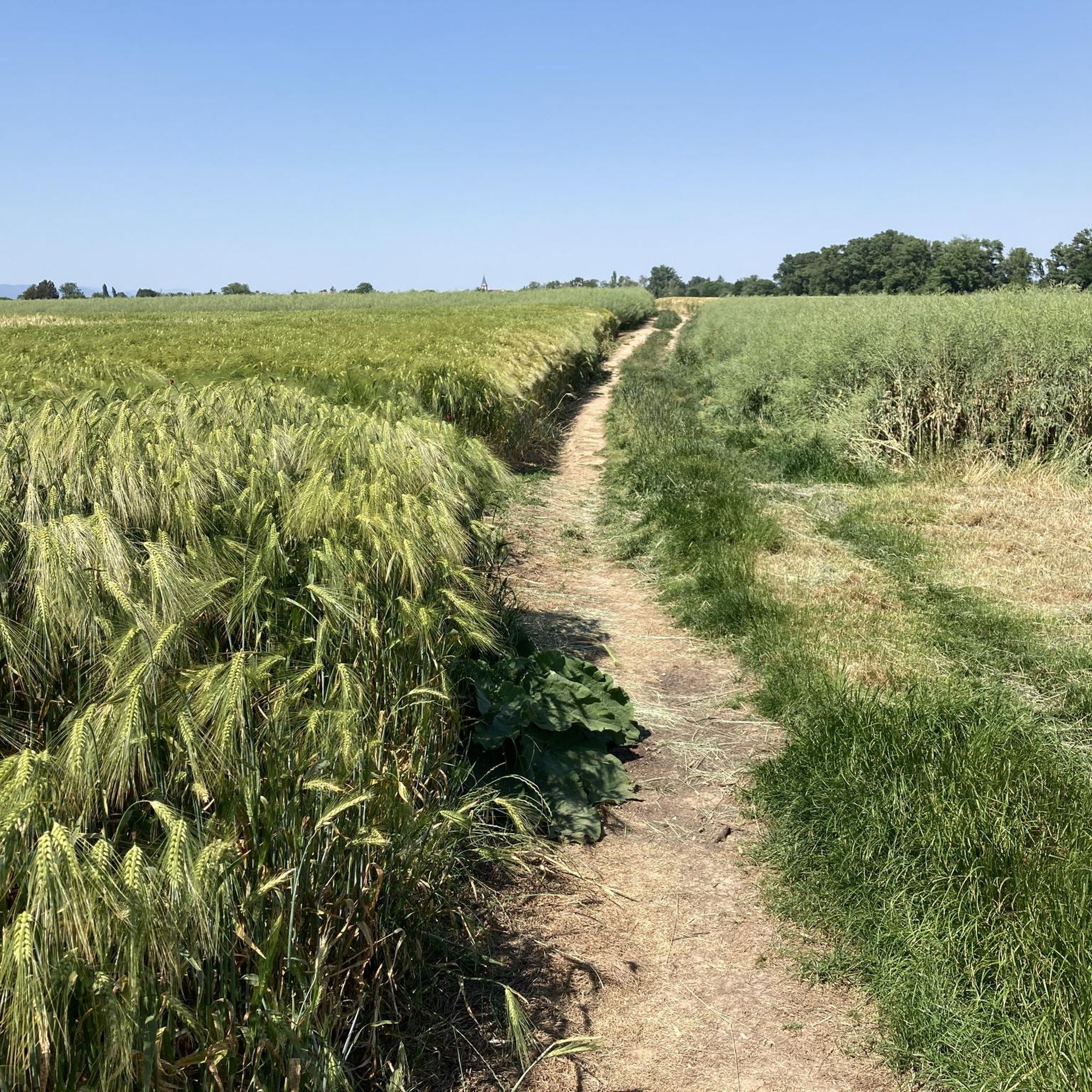
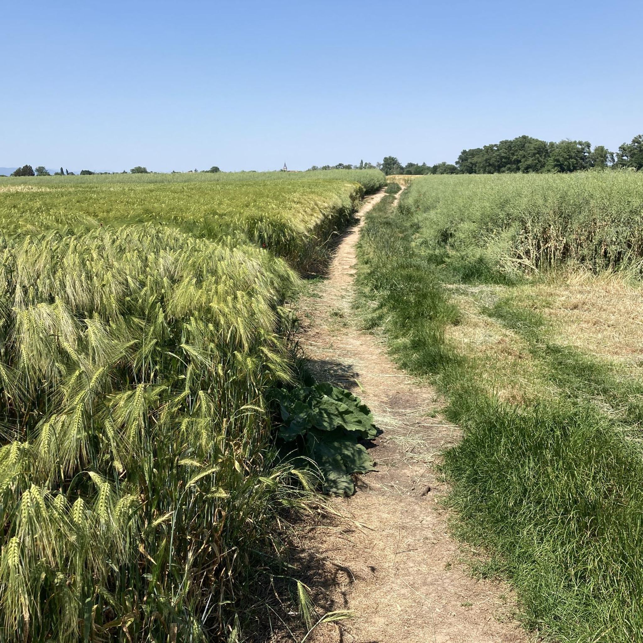
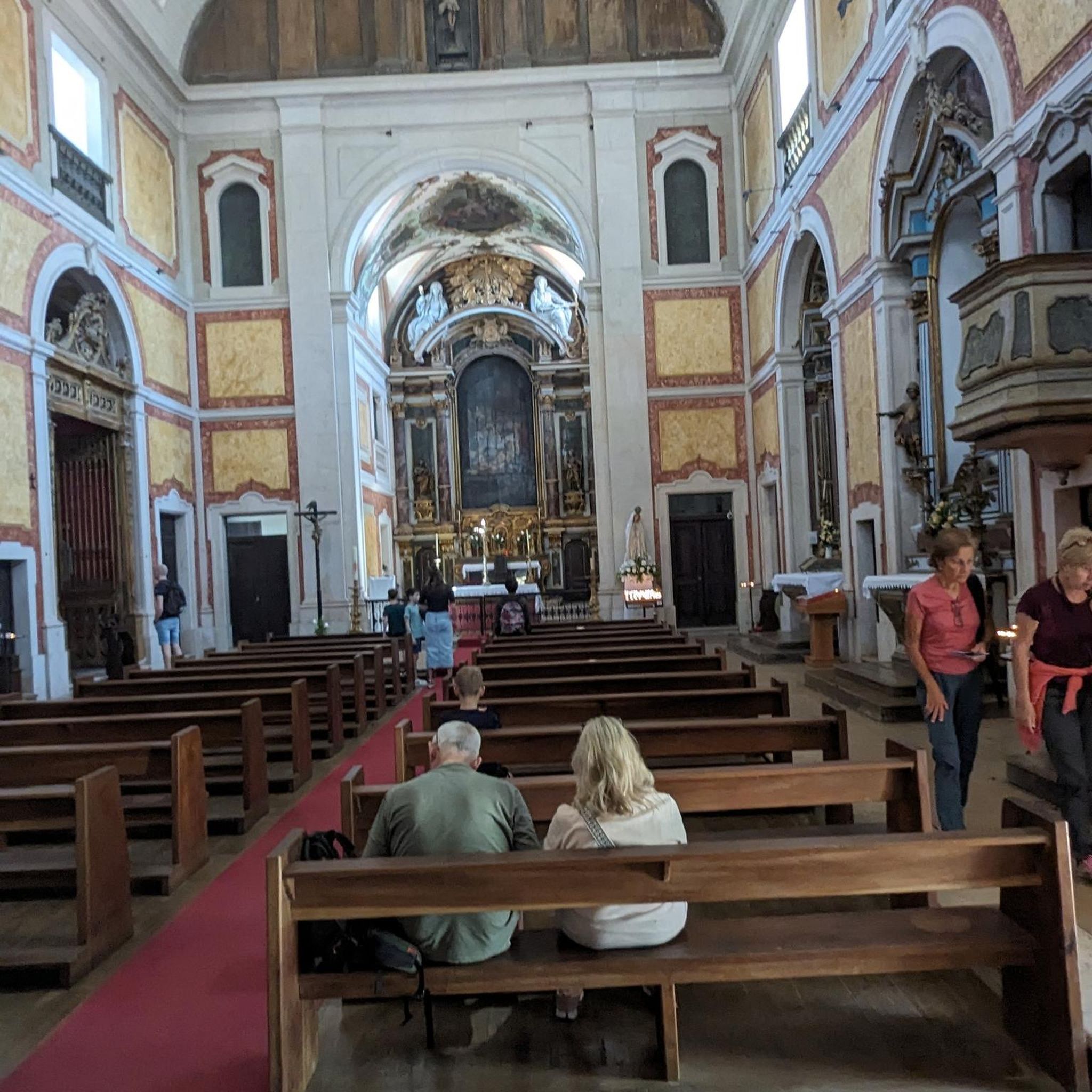
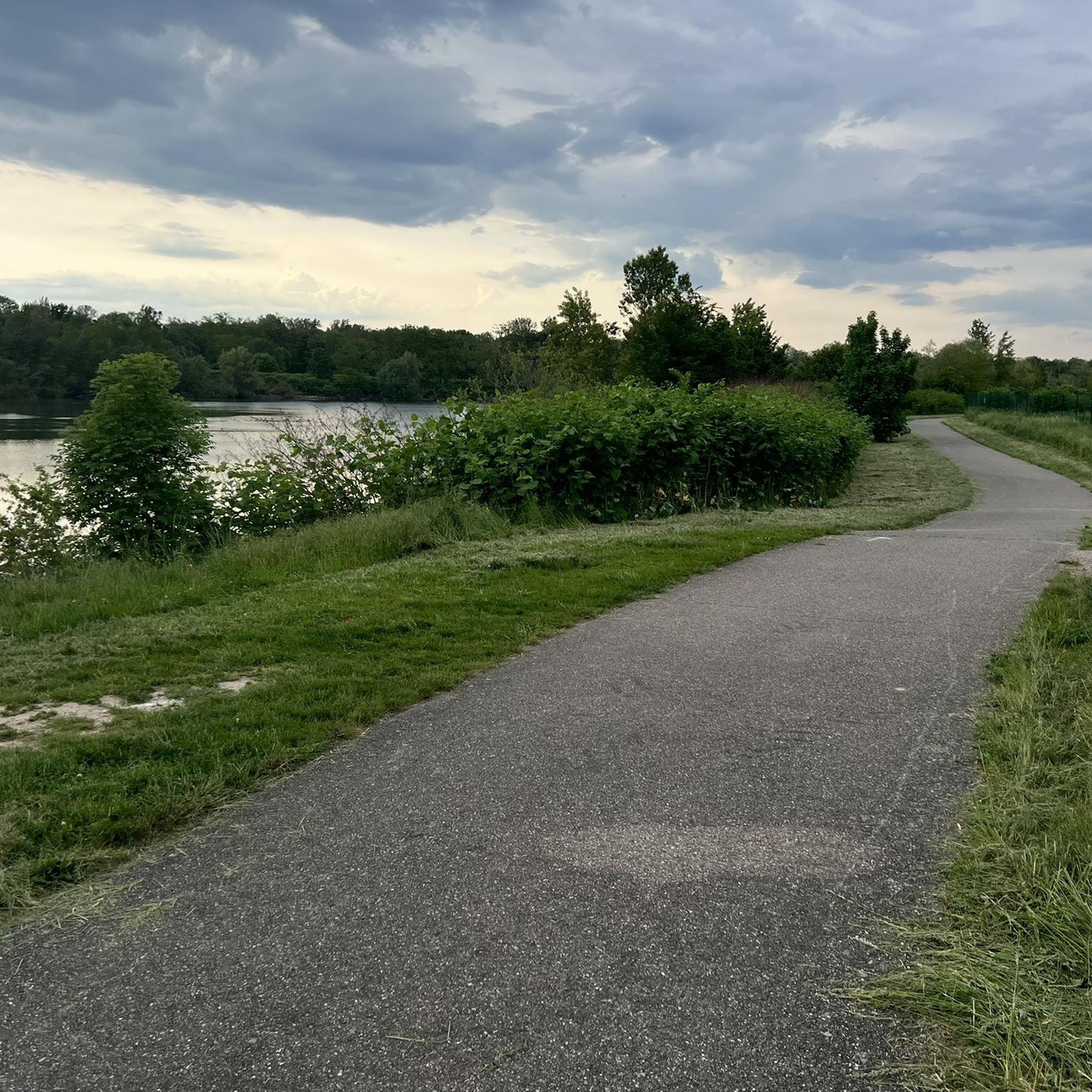
Tips from the Community

Nice little old town in Alsace.
0
0

Awarded as one of the most beautiful villages in France.
0
0

Interesting and worthwhile change along the way
0
0

Insect and damselfly refuge, opposite a house with a statue, murals and a column on the theme of insects.
0
0
Covered footbridge and observation points overlooking the canal and its wildlife
0
0

At the right time of year, the clattering of storks accompanies us here.
0
0

The bike paths are very well identified throughout the route. Makes cycling easy and enjoyable :)
0
0
Frequently Asked Questions
How many touring cycling routes are available around Ruelisheim?
There are over 470 touring cycling routes in the Ruelisheim area, offering a wide variety of options for different skill levels and preferences. The komoot community has explored these routes over 12,000 times.
What is the best time of year for touring cycling in Ruelisheim?
The region around Ruelisheim is generally pleasant for touring cycling from spring through autumn. The terrain is mostly flat, making it accessible for much of the year. While specific winter conditions can vary, many routes along the rivers and through the plains remain rideable, though some unpaved sections might be less comfortable.
What do other touring cyclists enjoy most about the routes in Ruelisheim?
The touring cycling routes around Ruelisheim are highly rated by the komoot community, with an average score of 4.5 stars from over 1,500 reviews. Cyclists often praise the scenic riverine landscapes, the peaceful agricultural plains, and the well-integrated sections through the Nonnenbruch forest.
Are there easy touring cycling routes suitable for beginners or families in Ruelisheim?
Yes, Ruelisheim offers nearly 200 easy touring cycling routes, many of which are paved and ideal for beginners or family outings. A great option is the Beautiful blue metal bridge – Ensisheim cycle path Route 5 loop from Pulversheim, which is 17 km long and offers a gentle ride.
Are there more challenging touring cycling routes for experienced cyclists?
For those seeking a greater challenge, Ruelisheim has over 90 difficult touring cycling routes. These routes may include longer distances, more varied terrain, or unpaved sections. The Tour of the Mulhousienne countryside is a moderate 39.5 km route that explores rural landscapes and requires good fitness.
Can I find circular touring cycling routes around Ruelisheim?
Yes, many touring cycling routes in the Ruelisheim area are designed as loops, allowing you to start and finish at the same point. An example is the Battenheim water tower – Along the Quatelbach loop from Ruelisheim, a 25.3 km trail that follows the Quatelbach river.
What kind of landscapes will I encounter on touring cycling routes in Ruelisheim?
Touring cycling routes around Ruelisheim primarily traverse the plains of Alsace, characterized by the presence of waterways like the Ill, Thur, and Quatelbach rivers. You'll cycle through agricultural lands, along riverbanks, and through sections of the Nonnenbruch forest. The distant Vosges Mountains provide a scenic backdrop to the west.
What attractions can I see along the touring cycling routes near Ruelisheim?
Beyond the natural beauty, you can incorporate visits to various attractions. Consider stopping at the Rhône–Rhine Canal, or exploring the Mulhouse Historical Museum in nearby Mulhouse. The region also features charming towns like Eguisheim and Colmar, known for their traditional Alsatian architecture.
Are there any specific landmarks or points of interest to look out for?
Yes, along some routes, you might encounter interesting landmarks. For instance, the Hardt Battles Memorial is a historical site. Keep an eye out for unique features like the "Quatelbach carved tree" which is part of the route Quatelbach carved tree – Bicycle Sculpture in Ensisheim loop from Ruelisheim.
How do the touring cycling routes in Ruelisheim compare to those around Mulhouse?
Ruelisheim is situated close to Mulhouse (about 8 km), and many routes connect the two areas. Ruelisheim's routes often focus on the immediate riverine plains and the Nonnenbruch forest, while Mulhouse offers a more urban starting point with routes fanning out into similar rural landscapes. The Beautiful blue metal bridge – Ensisheim cycle path Route 5 loop from Ruelisheim is an example of a route that connects Ruelisheim to the wider network towards Ensisheim.
Is it possible to access touring cycling routes in Ruelisheim using public transport?
Ruelisheim is a commune in the Haut-Rhin department, and public transport options are available to reach the area. For detailed information on bus or train connections to Ruelisheim, it's best to consult local public transport schedules, which can often accommodate bicycles on certain lines or at specific times.
Where can I park my car when starting a touring cycling route in Ruelisheim?
As Ruelisheim is a commune, parking is generally available in and around the village center or near common starting points for routes. Specific parking information for individual routes is often provided within the komoot tour details, or you can look for public parking areas in the village before starting your ride.
Most popular routes around Ruelisheim
Most popular attractions around Ruelisheim

Get inspired with the komoot mobile app


Explore more
Browse the best Cycling routes in other regions.
