The best road cycling routes around Lutterbach
4.4
(517)
13,562
riders
32
rides
Road cycling around Lutterbach offers diverse terrain, from scenic valley routes along the Thur River to challenging ascents in the Vosges Mountains foothills. The region features varied landscapes, including the Hundsruck Pass and proximity to the Alsace Wine Route. Cyclists can navigate paved surfaces through agricultural plains, picturesque villages, and forested areas. The area provides a network of routes suitable for different fitness levels, with significant elevation changes available for more experienced riders.
Best road cycling routes around Lutterbach
- The…
Last updated: July 3, 2026
5.0
(1)
121
riders
110km
05:12
1,280m
1,280m
Hard road ride. Very good fitness required. Some segments of this route may be unpaved and difficult to ride.
99
riders
79.9km
03:44
940m
940m
Hard road ride. Very good fitness required. Mostly well-paved surfaces and easy to ride.

Sign up for free
4.4
(8)
68
riders
43.3km
01:44
100m
100m
Easy road ride. Great for any fitness level. Mostly well-paved surfaces and easy to ride.
4.3
(3)
70
riders
64.7km
02:58
620m
620m
Moderate road ride. Good fitness required. Mostly well-paved surfaces and easy to ride.
4.8
(4)
73
riders
50.8km
02:09
310m
310m
Moderate road ride. Good fitness required. Some segments of this route may be unpaved and difficult to ride.
Get access to more routes and recommendations from other explorers.
Sign up for free
Already have an account?
Our route recommendations are based on thousands of hikes, rides, and runs completed by other people on komoot.
Start today with a free account
Your next adventure awaits.
Login or Signup

Tips from the Community

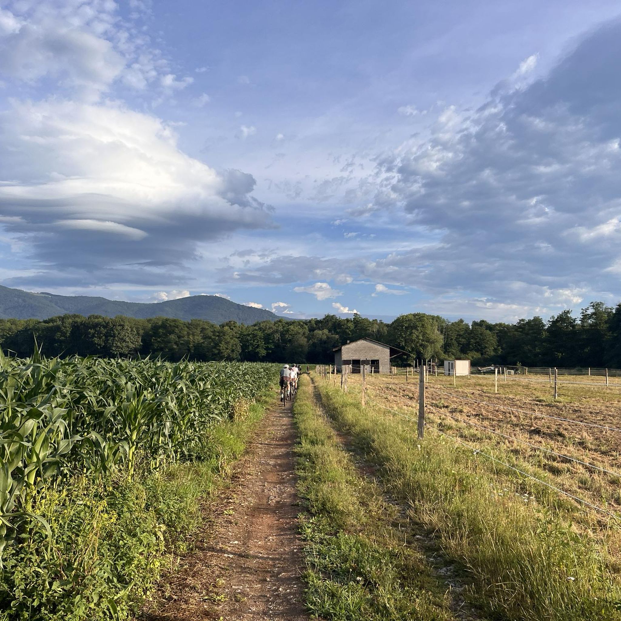
The road between Galfingue and Heimsbrunn is on excellent asphalted surface with no potholes and a nice view of the Grand Ballon d’Alsace on the one side and the city of Mulhouse on the other. There can though, especially around the morning and evening rush hour increased traffic.
1
0

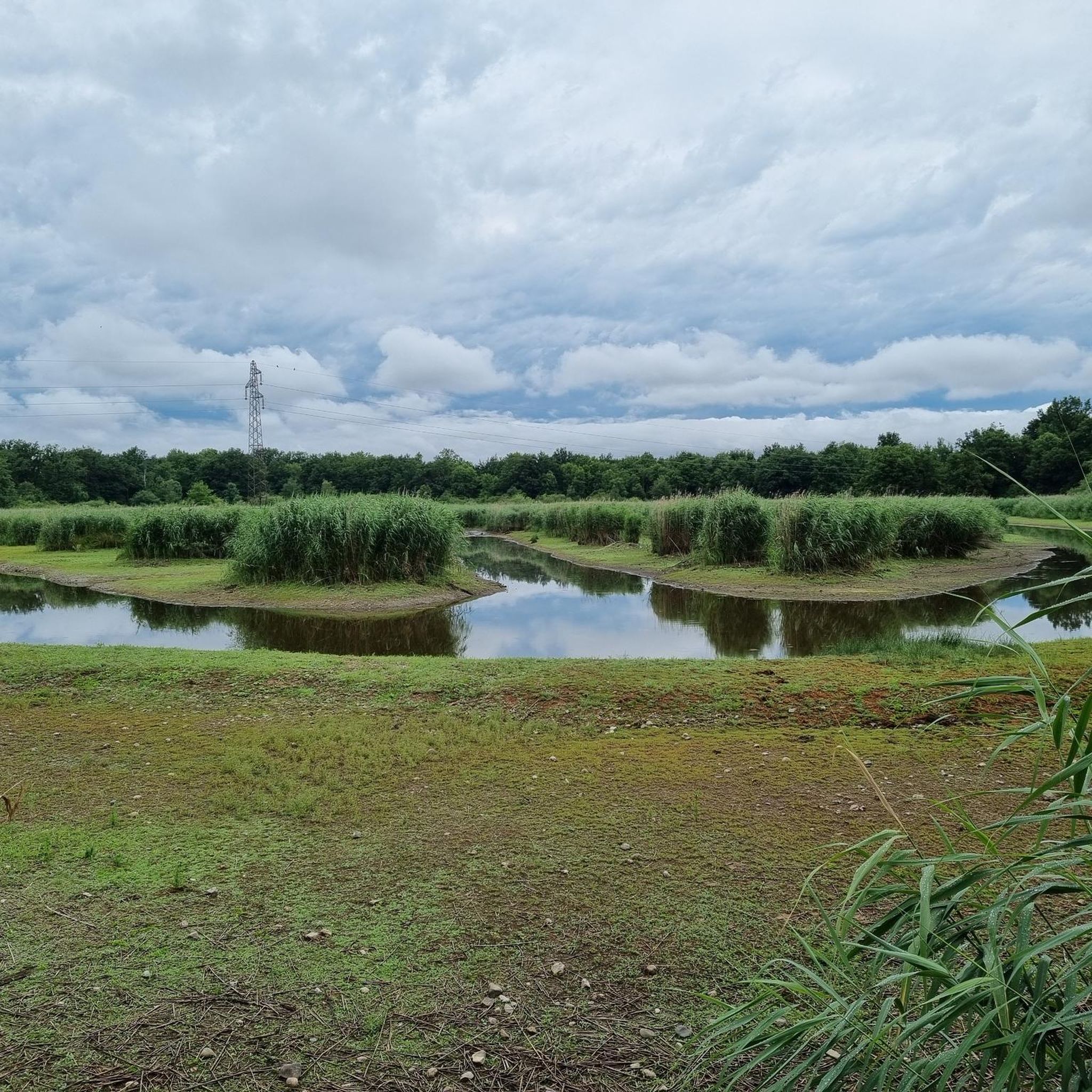
The VV221 cycle route is part of the EuroVélo 5 network and begins in Ensisheim at the Thur bridge and ends in Cernay after about 17 km. The route initially runs alongside the road, then past ponds and finally through a wooded area. It runs alongside the Thur and passes the Alsatian Ecomuseum (another route leads to Ungersheim via the Petit Prince Park). The Green Route then winds along the Thur, passing Pulversheim, Staffelfelden, and Wittelsheim, and finally reaches Cernay, still along the Thur.
0
0
The VV221 cycle route is part of the EuroVélo 5 network and begins in Ensisheim at the Thur bridge and ends in Cernay after about 17 km. The route initially runs alongside the road, then past ponds and finally through a wooded area. It runs alongside the Thur and passes the Alsatian Ecomuseum (another route leads to Ungersheim via the Petit Prince Park). The Green Route then winds along the Thur, passing Pulversheim, Staffelfelden, and Wittelsheim, and finally reaches Cernay, still along the Thur.
0
0

Ammertzwiller is a quiet Alsatian village that is surprisingly convenient for cyclists on the road. There are a few mini markets, restaurants and even a chemist – ideal for stocking up on provisions or taking a break. The village is set in rolling countryside and offers lovely picnic spots overlooking the fields. Information boards in the village tell the story of the local history during the First World War, making this stop not only practical but also meaningful."
8
0

Very nice cycle path along an old railway line.
1
0
Nice climb, very good asphalt. Little traffic (during the week in early June).
0
0

A perfect bike path with the best asphalt. What more could you want?
1
0

A beautiful, not too challenging climb on a wide, well-paved road. More views from the south than from the north.
0
1
Frequently Asked Questions
How many road cycling routes are available around Lutterbach?
There are over 35 road cycling routes around Lutterbach, offering a diverse range of options for different skill levels. These include easy, moderate, and difficult routes, ensuring there's something for every road cyclist.
What kind of terrain can I expect on road cycling routes near Lutterbach?
Road cycling around Lutterbach features highly varied terrain, predominantly on paved surfaces. You'll find scenic valley routes along the Thur River, agricultural plains, and challenging ascents into the Vosges Mountains foothills, including passes like the Hundsruck. The region's proximity to the Alsace Wine Route also means routes winding through vineyards.
Are there routes suitable for beginners or less experienced road cyclists?
Yes, Lutterbach offers several easier road cycling routes. For example, the Bike path to Ensisheim – Beautiful blue metal bridge loop from Lutterbach is an easy 44.1 km trail with flat sections along the Thur River valley, ideal for a more relaxed ride.
Where can I find challenging road cycling routes with significant climbs?
For experienced cyclists seeking a challenge, Lutterbach is an excellent base. Routes like the Ballon d'Alsace – Rue du Ballon d'Alsace. loop from Lutterbach offer significant elevation gains and panoramic views towards the Vosges Mountains. Another demanding option is the Chapel of Rammersmatt – Hundsruck loop from Lutterbach, which includes ascents to the Hundsruck Pass.
What natural features or scenic viewpoints can I enjoy while cycling?
The region boasts diverse natural beauty. Many routes incorporate the Thur River, offering picturesque valley views. You can also experience the dramatic backdrop of the Vosges Mountains, with opportunities for climbs to higher elevations like the Grand Ballon. The Hundsruck Pass provides rewarding vistas, and the Alsace Wine Route offers stunning scenery through vineyards.
Are there any historical or cultural landmarks along the road cycling routes?
While Lutterbach itself is a smaller commune, its location provides access to rich historical and cultural sites. Cyclists can encounter elements like fortified cemeteries and gothic collegiate churches in nearby towns such as Thann. The broader Alsace region is known for its medieval heritage, Romanesque architecture, and charming villages, especially along the Alsace Wine Route.
Can I find circular road cycling routes in the Lutterbach area?
Yes, many road cycling routes around Lutterbach are designed as loops, allowing you to start and finish at the same point. Examples include the Hundsruck – Cernay - Vieux-Thann loop from Lutterbach and the Schweighouse - Reiningue – Lake Michelbach loop from Lutterbach, offering convenient round trips.
What is the best time of year for road cycling around Lutterbach?
The best time for road cycling around Lutterbach is generally from spring through autumn. During these seasons, the weather is typically mild, and the landscapes are vibrant, making for pleasant riding conditions. Summer offers longer daylight hours, while spring and autumn provide cooler temperatures and beautiful scenery, especially through the vineyards.
Are there family-friendly road cycling options in Lutterbach?
While many road cycling routes involve main roads, some flatter sections along the Thur River valley are more suitable for families with older children or those comfortable with road cycling. The Bike path to Ensisheim – Beautiful blue metal bridge loop from Lutterbach, for instance, is an easier route with less elevation.
Is it possible to access road cycling routes using public transport?
Lutterbach is well-connected within the Mulhouse agglomeration, which offers public transport options. While specific bike carriage rules vary, local trains and buses can often facilitate access to starting points for routes, especially those closer to urban centers. It's advisable to check local transport regulations regarding bicycles before planning your trip.
Where can I park my car when starting a road cycling tour in Lutterbach?
Lutterbach, being a smaller commune, typically offers various parking options, including public parking areas within the village. For routes starting directly from Lutterbach, you can usually find suitable parking near the town center or residential areas. For routes venturing further, parking might be available at trailheads or in nearby villages.
What do other cyclists say about road cycling in Lutterbach?
The road cycling routes around Lutterbach are highly rated by the komoot community, with an average score of 4.8 stars from over 25 reviews. Cyclists often praise the diverse terrain, from scenic valley rides to challenging mountain passes, and the well-maintained paved surfaces that make for an enjoyable experience.
Are there any specific attractions I can visit near the road cycling routes?
Yes, several interesting attractions are accessible near the road cycling routes. You could visit the Zillisheim Drawbridge and Lock No. 35, or explore historical sites like the Mulhouse Historical Museum. For those interested in engineering, the Grand Cannon of Zillisheim is also nearby.
Most popular routes around Lutterbach
Most popular attractions around Lutterbach

Get inspired with the komoot mobile app


Explore more
Browse the best Road cycling routes in other regions.
