The best walks and hikes around Zillisheim
4.6
(102)
632
hikers
31
hikes
Hiking around Zillisheim offers diverse landscapes, from gentle slopes to wooded areas, suitable for various fitness levels. The region is characterized by picturesque views along the Ill River and tranquil forest experiences in areas like the Bois de Lutterbach. Hikers can also enjoy panoramic views of the Vosges mountains and explore unique waterside paths along the historic Rhône-Rhine Canal.
Best hiking trails around Zillisheim
- The most popular hiking route is Grand Cannon of Zillisheim loop from Flaxlanden, a 3.2…
Last updated: June 25, 2026
4.5
(4)
17
hikers
5.17km
01:28
110m
110m
Easy hike. Great for any fitness level. Easily-accessible paths. Suitable for all skill levels.
5.0
(1)
23
hikers
6.39km
01:37
20m
20m
Easy hike. Great for any fitness level. Easily-accessible paths. Suitable for all skill levels.

Sign up for free
4.0
(2)
7
hikers
7.05km
01:57
120m
120m
Easy hike. Great for any fitness level. Easily-accessible paths. Suitable for all skill levels.
11
hikers
4.76km
01:12
10m
10m
Easy hike. Great for any fitness level. Easily-accessible paths. Suitable for all skill levels.
9
hikers
Easy hike. Great for any fitness level. Easily-accessible paths. Suitable for all skill levels.
Get access to more routes and recommendations from other explorers.
Sign up for free
Already have an account?
Our route recommendations are based on thousands of hikes, rides, and runs completed by other people on komoot.
Start today with a free account
Your next adventure awaits.
Login or Signup
Tips from the Community

Compare this portal with your topographic map and find the meanders of the Ill, the canal, the railway...
0
0
Discovery route: Games and activities of children from the past
0
0

Beneath the forest canopy, you can discover numerous traces of bygone times, still visible or legible; only the "barracks" have disappeared. During a guided tour with one of the site's enthusiastic volunteers, you can explore the underground tunnels and discover the organization of this impressive military infrastructure. Of course, you can also visit the surface infrastructure yourself, following the marked route, where the panels provide detailed explanations. An application, "Site du Grand Canon de Zillisheim," is also available for download.
5
0

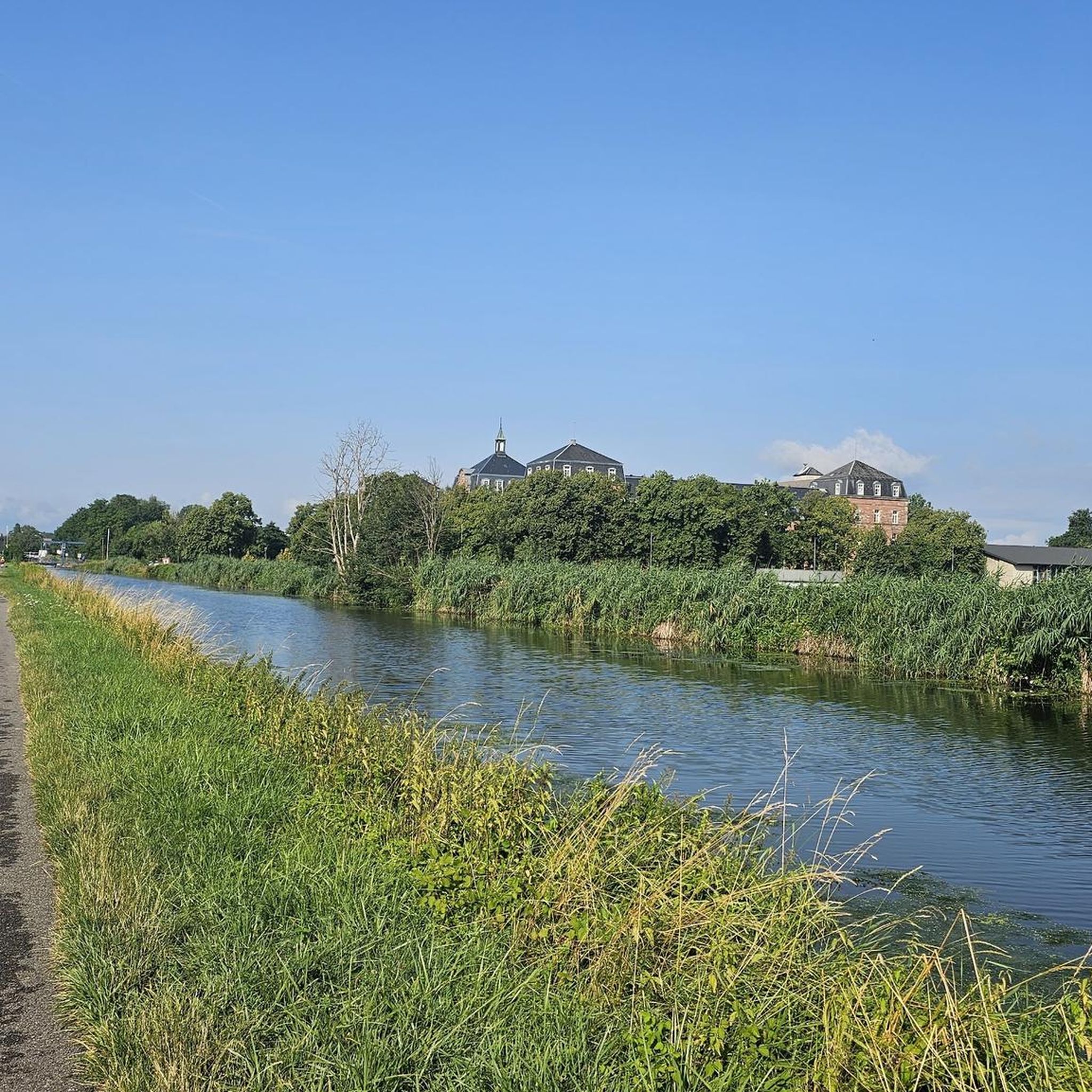
Rivers and canals crisscross the country, the latter in particular being a crucial part of the transport infrastructure in earlier times. Later, first rail, and later again trucks, took over the task of transporting goods. In the competition between different modes of transport, they were faster and cheaper than barges – and thus more efficient. When building the artificial waterways, however, it had to be taken into account that differences in elevation always had to be overcome, and so locks are often lined up along the canals – at varying intervals, depending on the local situation. Only with their help was shipping possible.
0
0

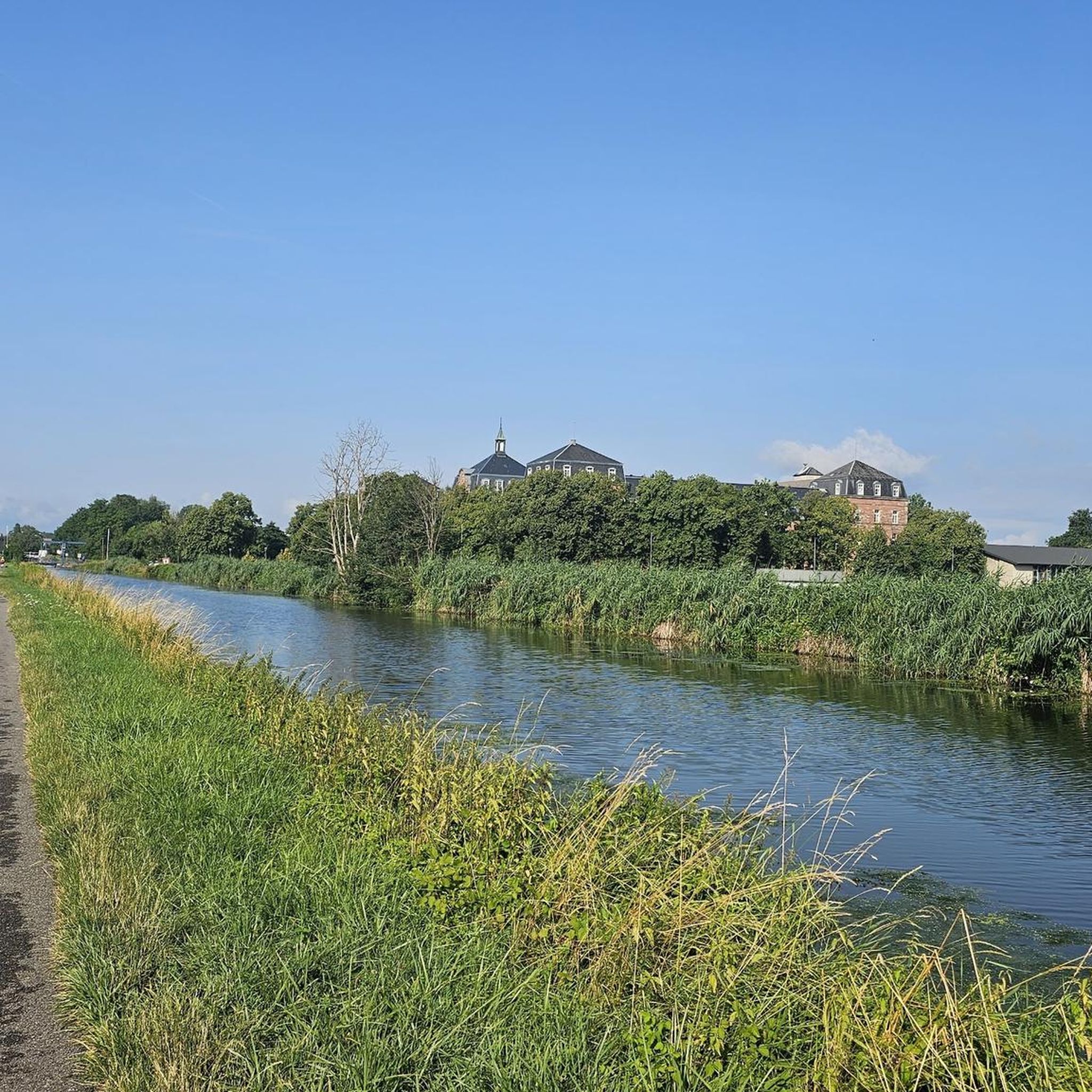
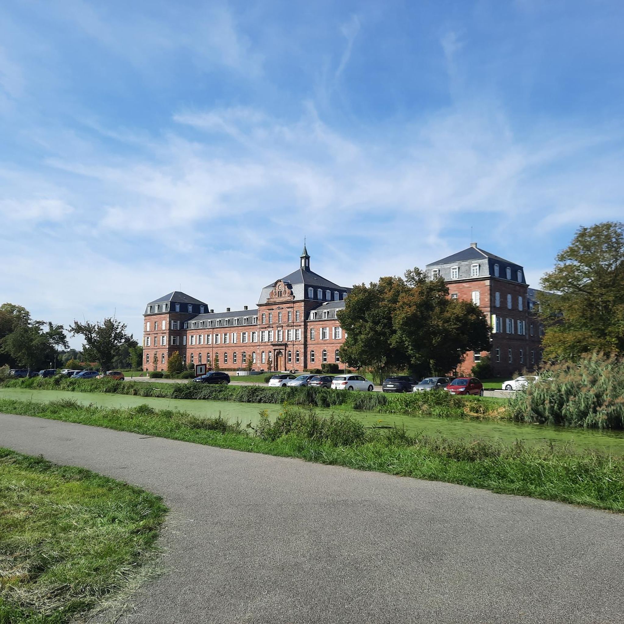
The castle fits nicely into the panorama. But I didn't go there.
0
0

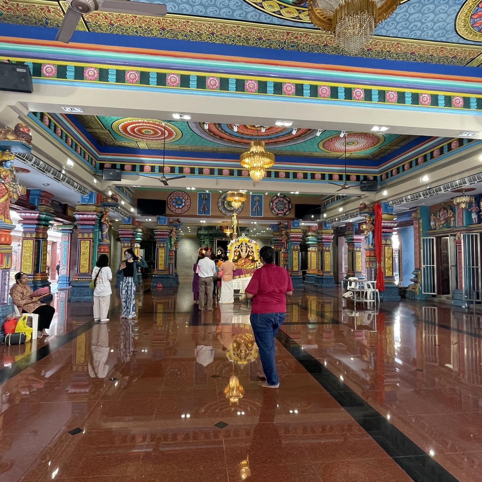
Also good as shelter in the rain
0
0

So I did enough on the bike, but it was nice.
0
0

If you haven't spent enough time on your bike, you can torture your body a little more here.
1
0
Frequently Asked Questions
How many hiking trails are there in Zillisheim?
There are over 35 hiking routes around Zillisheim, offering a variety of experiences. These include 21 easy trails, 12 moderate trails, and a few more challenging options, ensuring there's something for every fitness level.
What kind of terrain can I expect on hikes around Zillisheim?
The terrain around Zillisheim is quite diverse, ranging from gentle slopes to wooded areas. You'll find picturesque paths along the Ill River, tranquil forest experiences in places like the Bois de Lutterbach, and unique waterside trails along the historic Rhône-Rhine Canal. Many routes also offer beautiful panoramic views of the Vosges mountains.
Are there easy hiking trails suitable for beginners or families in Zillisheim?
Yes, Zillisheim offers many easy trails perfect for beginners and families. For instance, the Lycée Épiscopal – Chapel of the Cross of Burn loop from Flaxlanden is an easy 4.3 km route with minimal elevation gain. Another accessible option is the Brunstatt lock loop from Flaxlanden, which follows the canal for a pleasant 5.5 km walk.
Can I bring my dog on the hiking trails in Zillisheim?
Generally, dogs are welcome on most hiking trails in Zillisheim, especially in natural and wooded areas. However, it's always recommended to keep them on a leash, especially near wildlife or in more populated sections, and to check local signage for any specific restrictions.
Are there any circular hiking routes in Zillisheim?
Yes, many of the hiking routes around Zillisheim are circular, allowing you to start and end at the same point. A popular example is the Grand Cannon of Zillisheim loop from Zillisheim, a moderate 7.4 km path that explores historical sites.
What historical landmarks or points of interest can I see while hiking in Zillisheim?
Zillisheim's hiking trails are rich with historical and cultural points of interest. A significant attraction is the Grand Cannon of Zillisheim, a World War I military site with tunnels and installations. You might also encounter the Lourdes Grotto in Flaxlanden, various World War I bunkers, and historical chapels like the Chapel of the Cross of Burn. The Grand Cannon of Zillisheim – Jewish cemetery loop from Flaxlanden specifically includes an ancient Jewish cemetery.
Are there any routes that offer panoramic views?
Yes, several trails around Zillisheim provide beautiful panoramic views, particularly of the Vosges mountains. While specific routes aren't named for views, many paths in the higher or more open areas, such as those around Brunstatt, offer excellent vantage points to appreciate the regional landscape.
How long do hikes typically take around Zillisheim?
Hiking durations vary depending on the route's length and your pace. For example, an easy route like the Grand Cannon of Zillisheim loop from Flaxlanden, which is 5.2 km, typically takes about 1 hour 28 minutes. Longer, moderate trails can take 2 hours or more.
Is parking available near the trailheads in Zillisheim?
While specific parking areas are not always explicitly marked for every trailhead, Zillisheim and its surrounding villages generally offer public parking options. It's advisable to check local maps or route descriptions for suggested starting points with parking availability.
How can I access the hiking trails in Zillisheim using public transport?
Zillisheim is served by local public transport, which can provide access to various starting points for hikes. For routes originating in or near the village centers, public transport can be a convenient option. It's recommended to consult local bus schedules for the most up-to-date information on routes and stops.
What do other hikers enjoy the most about hiking in Zillisheim?
The hiking experience in Zillisheim is highly rated by the komoot community, with an average score of 4.5 stars from nearly 100 reviews. Hikers often praise the varied terrain, the blend of natural beauty with historical landmarks, and the well-maintained network of trails suitable for different abilities.
Most popular routes around Zillisheim
Most popular attractions around Zillisheim

Get inspired with the komoot mobile app


Explore more
Browse the best Hikes in other regions.
