The best running trails around Dietweiler
4.3
(228)
10,331
runners
459
runs
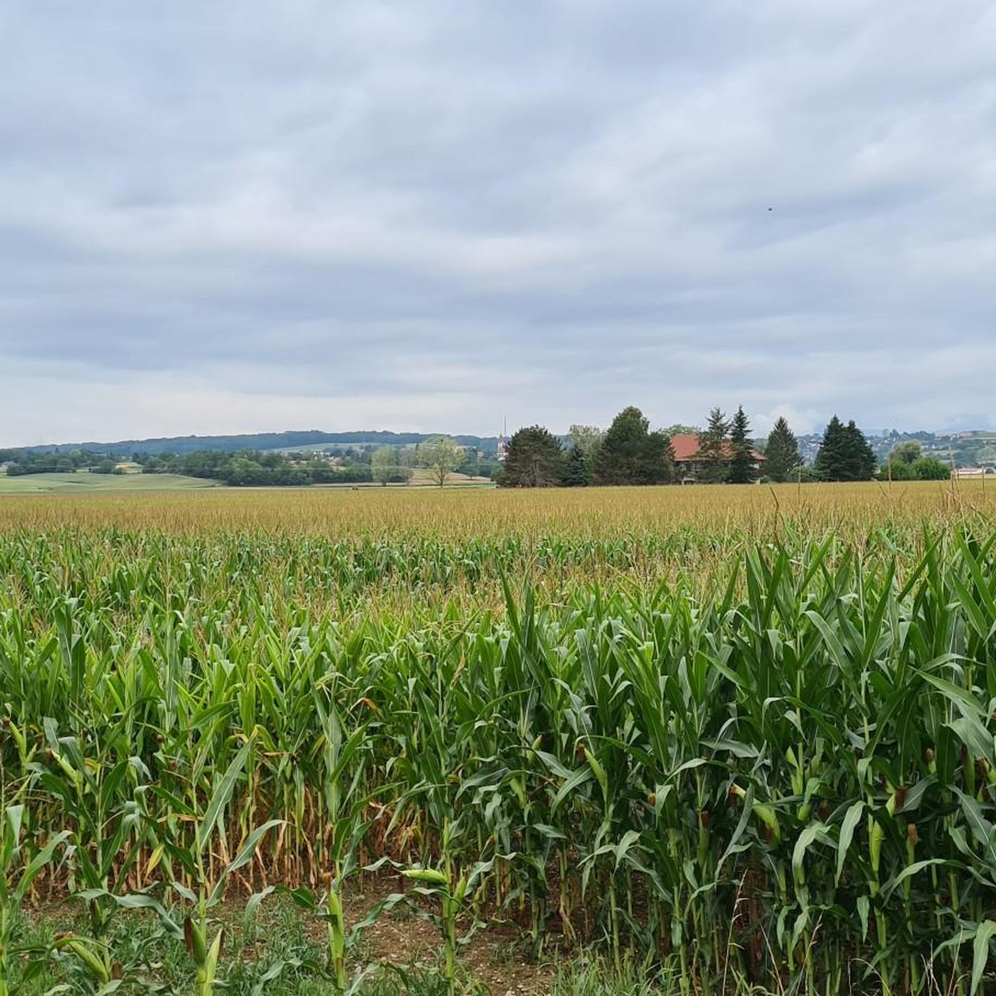
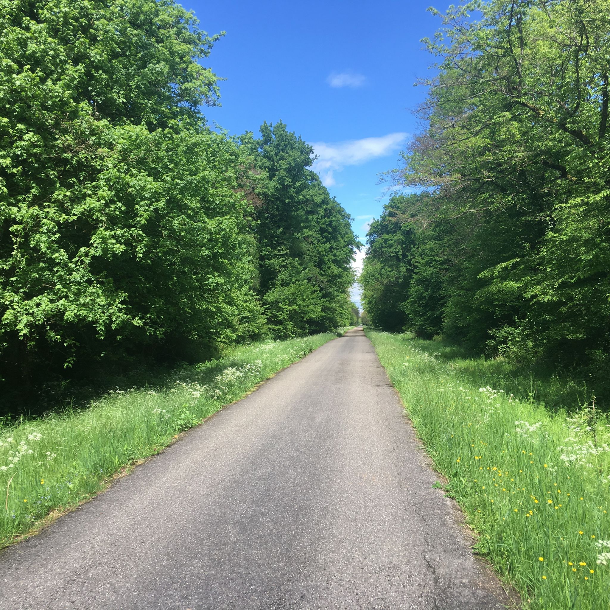
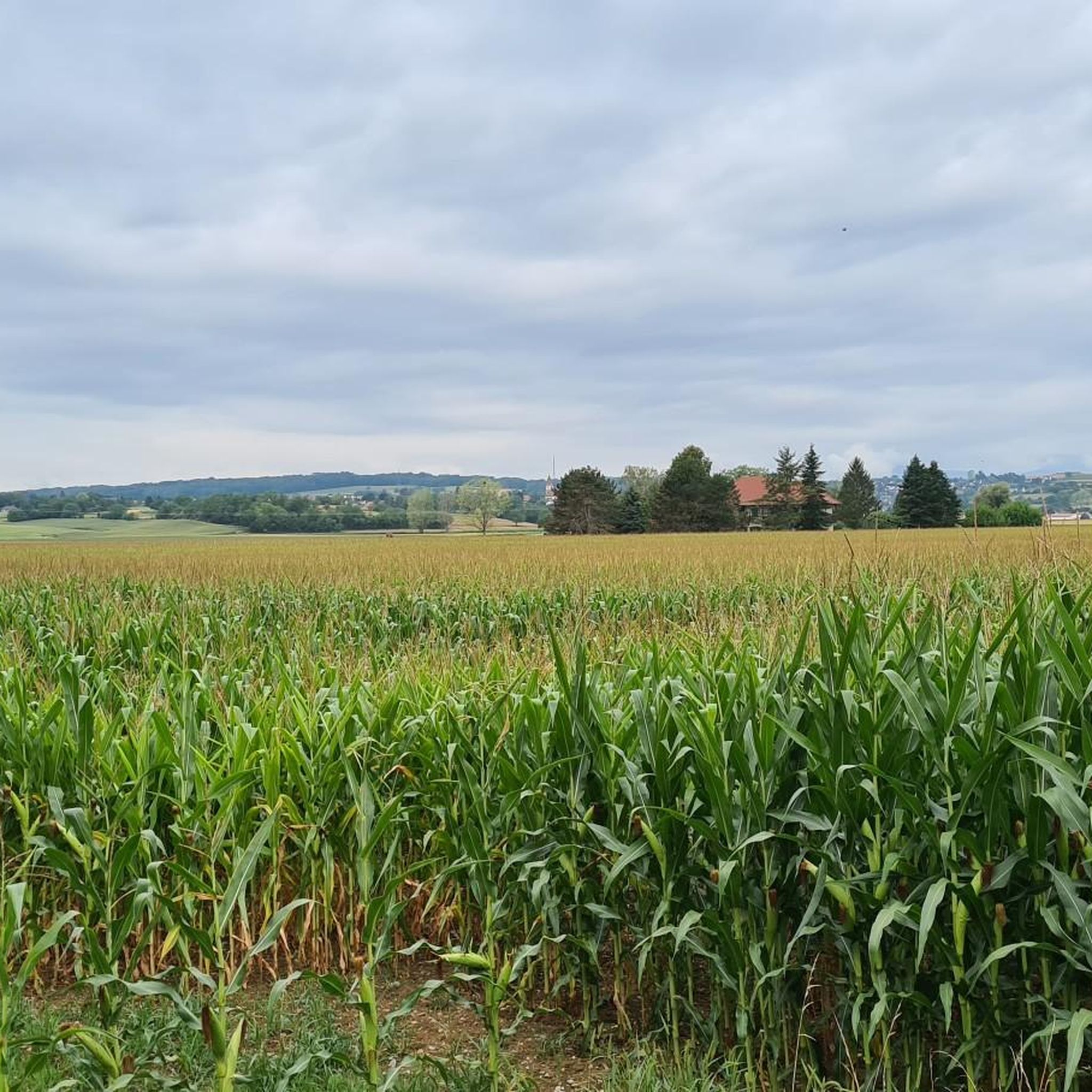
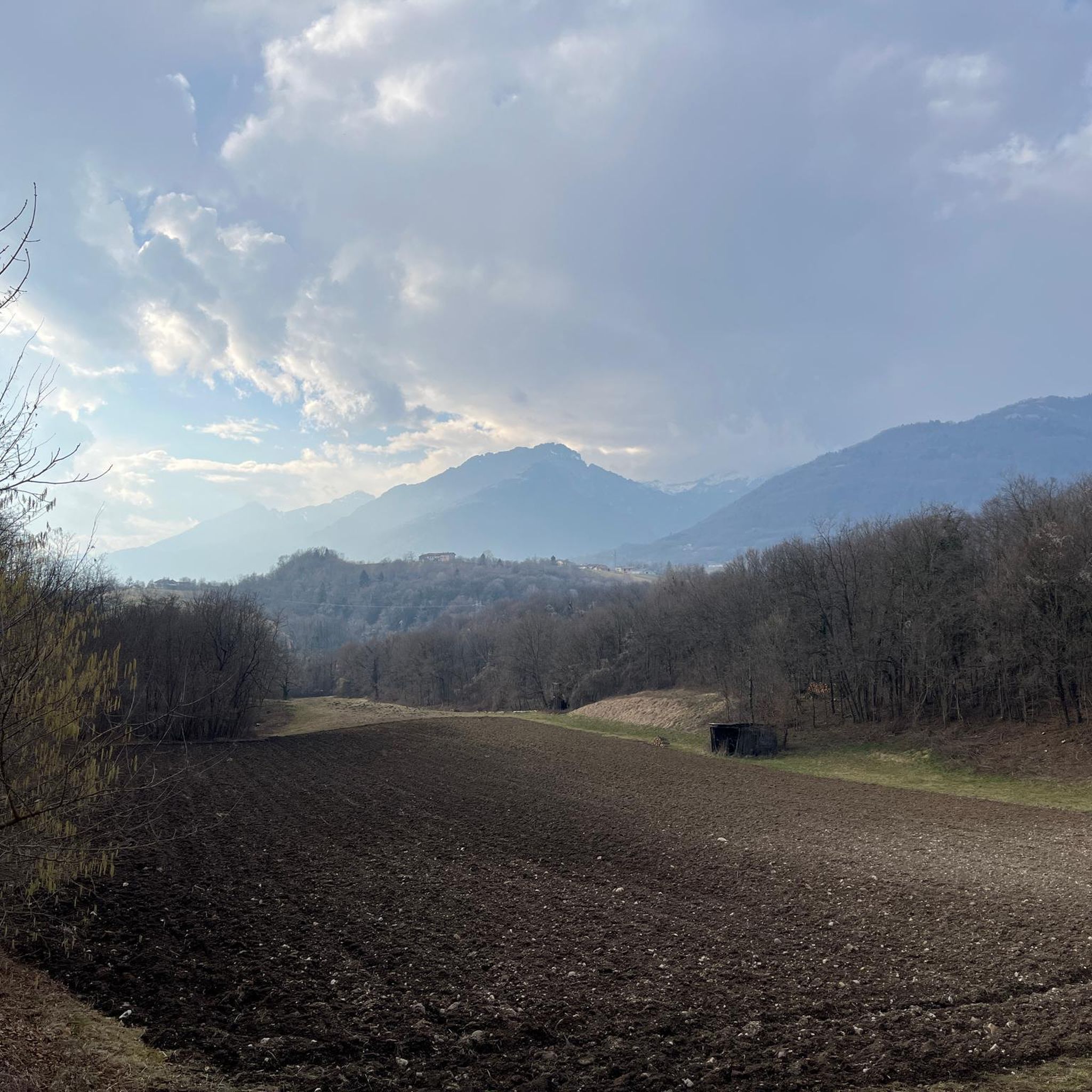
Jogging around Dietweiler offers a diverse landscape for runners, characterized by a network of trails winding through woodlands and open countryside. The region features gentle rolling hills, with some routes including moderate elevation gains. These running routes provide opportunities to explore the local natural environment on well-maintained paths.
Best jogging routes around Dietweiler
- The most popular jogging route is Single a haute dose loop from Eschentzwiller, a 9.1 miles (14.7 km) trail that takes 1 hour 32 minutes to…
Last updated: October 7, 2026
19
runners
14.7km
01:32
120m
120m
Moderate run. Good fitness required. Mostly paved surfaces. Suitable for all skill levels.
11
runners
12.5km
01:23
180m
180m
Moderate run. Good fitness required. Mostly paved surfaces. Suitable for all skill levels.

11
runners
6.35km
00:41
70m
70m
Moderate run. Good fitness required. Mostly paved surfaces. Suitable for all skill levels.
8
runners
10.9km
01:10
170m
170m
Moderate run. Good fitness required. Mostly paved surfaces. Suitable for all skill levels.
9
runners
15.7km
01:43
190m
190m
Hard run. Very good fitness required. Mostly paved surfaces. Suitable for all skill levels.
Get access to more routes and recommendations from other explorers.
Already have an account?
Our route recommendations are based on thousands of hikes, rides, and runs completed by other people on komoot.
Start today with a free account
Your next adventure awaits.
Frequently Asked Questions
How many running routes are available around Dietweiler?
Dietweiler offers a wide selection of running routes, with over 450 trails available for exploration. These routes vary in difficulty, catering to different fitness levels.
What is the general difficulty level of jogging trails in Dietweiler?
The majority of jogging trails in Dietweiler are classified as moderate, with 359 such routes. There are also 43 easy routes suitable for beginners and 56 more challenging options for experienced runners.
Are there any family-friendly running routes in the Dietweiler area?
Yes, Dietweiler features routes suitable for families. Many trails wind through woodlands and open countryside on well-maintained paths, offering a pleasant experience. Look for the 43 easy-rated routes, which are generally more suitable for a family outing.
Can I bring my dog on the jogging trails in Dietweiler?
While specific dog-friendly designations aren't always noted, many of Dietweiler's trails through forests and open fields are generally suitable for running with dogs, provided they are kept on a leash and local regulations are followed. The natural environment is ideal for outdoor activities with pets.
Are there circular running routes available in Dietweiler?
Yes, many of the running routes around Dietweiler are designed as loops, offering convenient circular paths. For example, the Forest Path loop from Mulhouse is a popular moderate option, and the Running loop from Eschentzwiller also provides a circular experience.
What kind of scenery can I expect on the jogging routes around Dietweiler?
Jogging routes in Dietweiler offer diverse scenery, characterized by a mix of woodlands and open countryside. You'll encounter gentle rolling hills and well-maintained paths, providing a refreshing natural environment for your run. Some routes, like the Forest Path loop from Mulhouse, specifically highlight scenic woodlands.
Are there any interesting landmarks or attractions near the running trails?
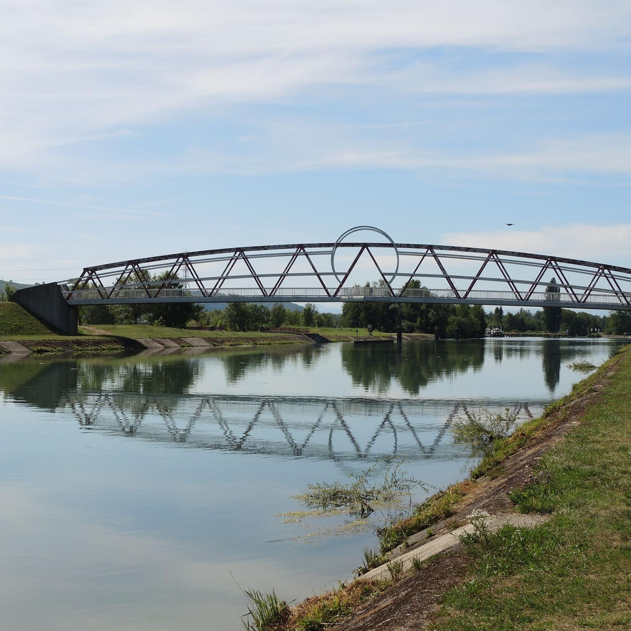
Yes, the Dietweiler area has several interesting landmarks. You might encounter natural features like the Istein Rapids or the unique Isteiner Klotz and the Cliff Chapel. The Huningue Canal also offers scenic views along its banks.
What do other runners say about jogging in Dietweiler?
The running routes in Dietweiler are highly regarded by the komoot community, with an average score of 4.2 stars from over 190 reviews. More than 8,000 runners have explored the varied terrain, often praising the diverse landscape and well-maintained paths through woodlands and open countryside.
Are there any longer, more challenging running routes for advanced runners?
Yes, for advanced runners seeking a greater challenge, Dietweiler offers several longer and more difficult routes. The Forest Path loop from Eschentzwiller is a difficult route spanning nearly 16 km with significant elevation changes. Another challenging option is the Running loop from Dietwiller, which is also around 16 km.
What are the typical distances for running routes in Dietweiler?
Running routes in Dietweiler vary in distance. You can find shorter, easier trails, but many popular routes are in the moderate to longer range. For instance, the Single a haute dose loop from Eschentzwiller is about 14.7 km, and the Forest Path loop from Mulhouse is 12.5 km.
Is public transport available to access jogging trails in Dietweiler?
Dietweiler is a smaller community, so while some routes might be accessible from local bus stops, direct public transport links to every trailhead may be limited. It's advisable to check local bus schedules and route maps for specific access points, especially if you're starting from nearby larger towns like Mulhouse.
Are there less crowded running options for a quieter experience?
While some popular routes can see more foot traffic, Dietweiler's extensive network of over 450 trails means you can often find quieter paths, especially during off-peak hours or by exploring some of the less-known routes. The region's character of woodlands and open countryside naturally lends itself to finding peaceful spots.
Most popular routes around Dietweiler
Most popular attractions around Dietweiler

Get inspired with the komoot mobile app


Explore more
Browse the best Running Trails & Routes in other regions.
