The best walks and hikes around Reichweiler
4.6
(1034)
6,561
hikers
464
hikes
Hiking around Reichweiler offers diverse landscapes characterized by rolling hills, dense forests, and varied geological features within the Palatinate Mountains. The region features extensive woodlands, meadows, and unique rock formations, providing a range of natural environments for exploration. The Glan river flows through the village, adding to the scenic beauty. This area provides a mix of terrain suitable for different hiking preferences.
Best hiking trails around Reichweiler
- The most popular hiking route is Closed Gate – Parc du Rabbargala loop…
Last updated: June 28, 2026
16
hikers
7.63km
01:55
10m
10m
Easy hike. Great for any fitness level. Easily-accessible paths. Suitable for all skill levels.
5.0
(1)
12
hikers
8.79km
02:13
10m
10m
Moderate hike. Good fitness required. Easily-accessible paths. Suitable for all skill levels.

Sign up for free
4
hikers
10.4km
02:39
30m
30m
Moderate hike. Good fitness required. Easily-accessible paths. Suitable for all skill levels.
11
hikers
4.25km
01:04
0m
0m
Easy hike. Great for any fitness level. Easily-accessible paths. Suitable for all skill levels.
5.0
(1)
7
hikers
8.10km
02:03
20m
20m
Moderate hike. Good fitness required. Easily-accessible paths. Suitable for all skill levels.
Get access to more routes and recommendations from other explorers.
Sign up for free
Already have an account?
Our route recommendations are based on thousands of hikes, rides, and runs completed by other people on komoot.
Start today with a free account
Your next adventure awaits.
Login or Signup
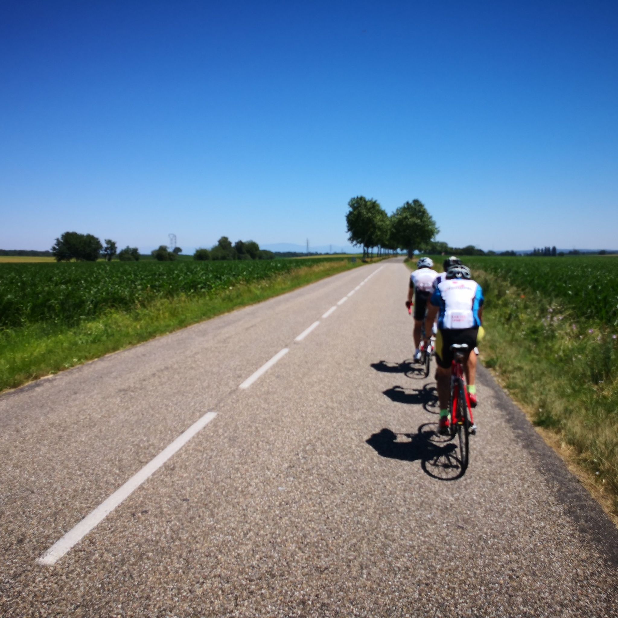

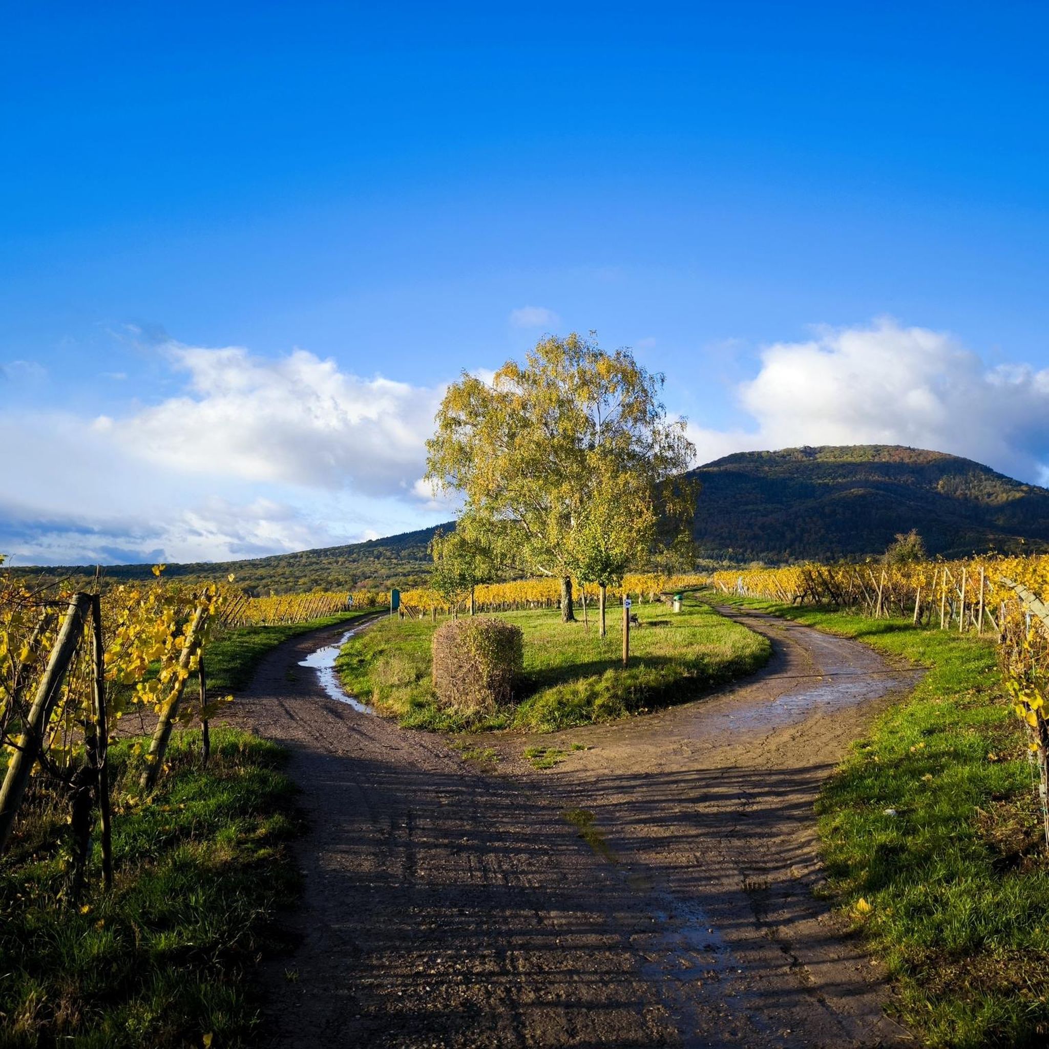
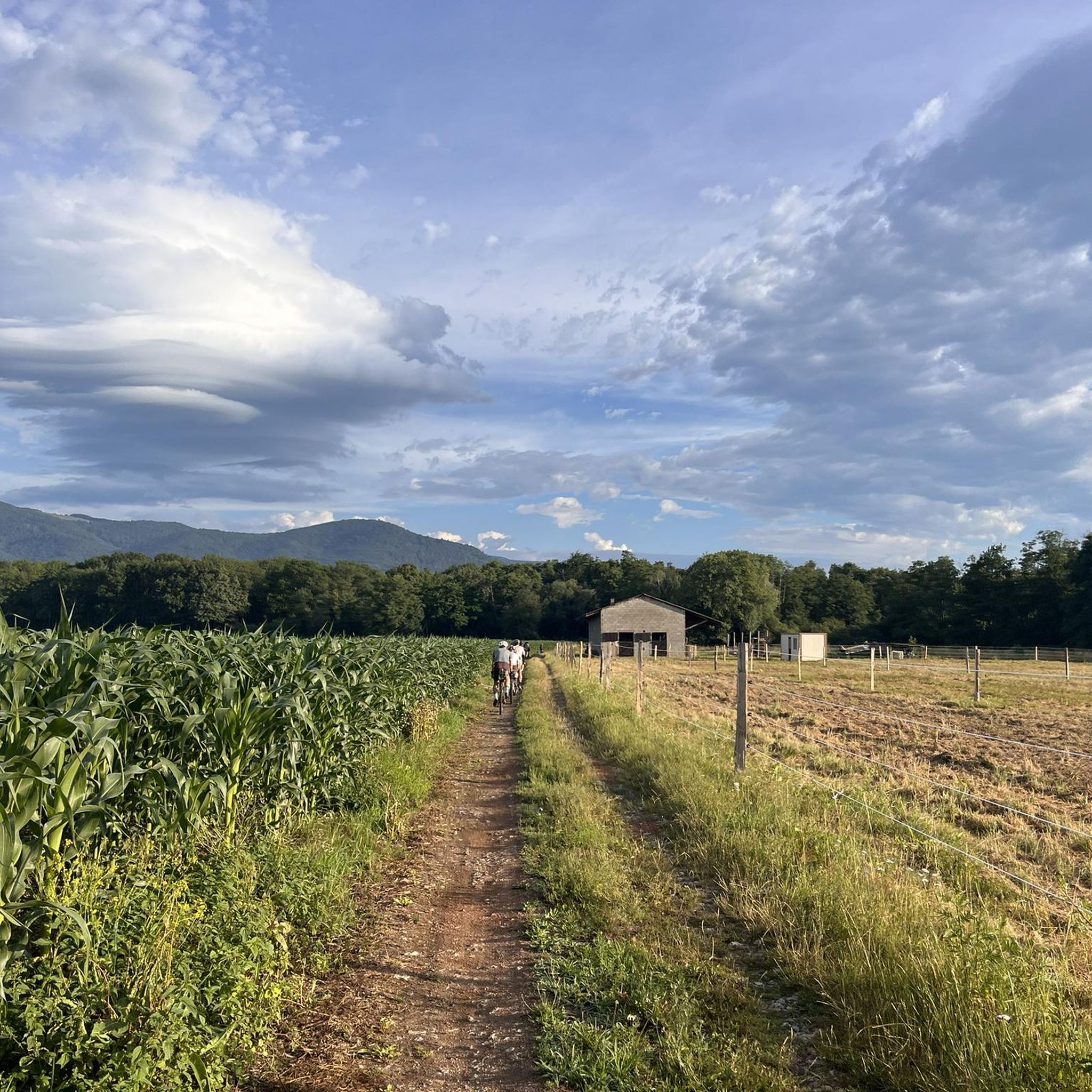
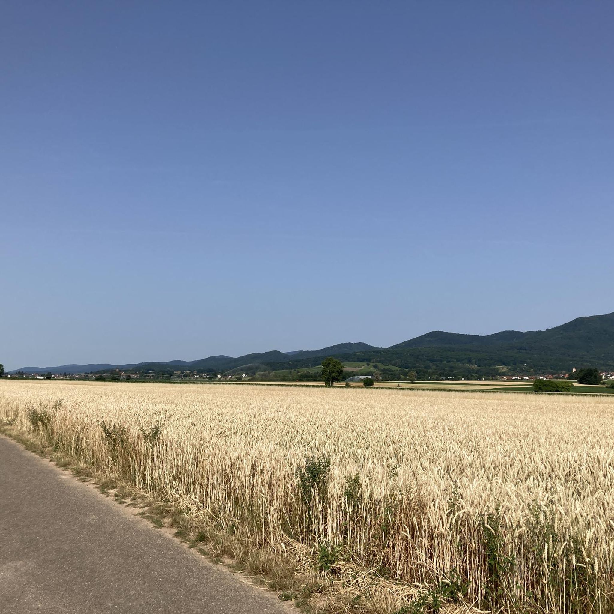
Tips from the Community

Private quarry, completely closed and almost invisible (wire mesh + vegetation).
0
0
Closure likely temporary. All clear as of mid-February 2026; even the entrance at the southern end of the park was open.
1
0

The oldest surviving mention of Lutterbach dates back to 735. It already had a church at that time. The village was dependent on the Murbach Abbey. From the beginning of the 14th century until the French Revolution, Lutterbach belonged to the Cistercian monastery of Lützel.
0
0

A photogenic place, otherwise it's just a simple bridge.
1
0


This former railway bridge has been transformed into a greenway and crosses the Thur.
3
0

Former railway bridge, now a beautiful bike path over the Thur.
3
1
Frequently Asked Questions
How many hiking trails are available around Reichweiler?
There are over 400 hiking trails around Reichweiler, offering a wide range of options for different preferences and fitness levels. The komoot community has explored more than 6,000 routes in the area.
What do other hikers enjoy most about the trails in Reichweiler?
The trails around Reichweiler are highly rated by the komoot community, with an average score of 4.6 stars from nearly 900 reviews. Hikers often praise the diverse landscapes, which include rolling hills, dense forests, and the scenic Glan river, as well as the well-marked paths suitable for various ability levels.
What is the best time of year to go hiking in Reichweiler?
Reichweiler is particularly inviting for hiking during spring, when nature is in full bloom with colorful flowers, and in autumn, when the forests transform into a vibrant display of golden and red foliage. The diverse landscape offers beauty in every season.
Are there easy hiking trails suitable for beginners in Reichweiler?
Yes, Reichweiler offers a good selection of easy hiking trails. Over 200 routes are classified as easy, providing gentle terrain and shorter distances perfect for beginners or those looking for a relaxed stroll. An example is the Piste de karting – Lac du Dragueur loop from Wittenheim, which is 4.2 km long and takes about an hour.
Can I find challenging day hikes around Reichweiler?
While many trails are moderate, there are about 24 routes classified as difficult for those seeking a more challenging experience. These trails often feature steeper ascents and longer distances, providing a rewarding workout amidst the region's varied terrain.
Are there circular hiking routes in the Reichweiler area?
Yes, many of the hiking routes around Reichweiler are designed as loops, allowing you to start and end your hike at the same point. For instance, the Closed Gate – Parc du Rabbargala loop from Wittenheim is a popular moderate circular trail.
What natural features can I expect to see on hikes around Reichweiler?
Hikes around Reichweiler showcase a captivating blend of rolling hills, dense forests, and unique geological formations. You can explore lush meadows, impressive rock formations, and walk along the scenic Glan river. The region is also known for its diverse flora and fauna.
Are there any historical landmarks or castles to visit while hiking?
Absolutely. A prominent landmark is the majestic Lichtenberg Castle Ruins, the longest castle complex in Germany, offering spectacular views and housing museums. Many trails lead to or offer views of the castle. You can also explore the geological history at the Andesite Rock Sphere Quarry Hellerberg, known for its agates, along the Achatweg Freisen.
Are there trails with panoramic viewpoints near Reichweiler?
Yes, several trails offer impressive panoramic views. The Herzerberg, at 585 meters, is a notable high point providing extensive vistas across the Kuseler Land, including Lichtenberg Castle and extending into the Saarland. Views from Lichtenberg Castle itself are also spectacular.
Are there family-friendly hiking trails in Reichweiler?
For families with children, the Märchenwaldweg (Fairytale Forest Trail) is an excellent option. It features lovingly designed figures and stories that engage young explorers, making the hike a playful and exciting experience in nature.
Are dogs allowed on hiking trails around Reichweiler?
Most hiking trails in the Reichweiler area are dog-friendly, allowing you to enjoy the beautiful scenery with your canine companion. It's always a good idea to keep dogs on a leash, especially in nature reserves or near livestock, and to carry water for them.
Where can I find parking for hiking trails in Reichweiler?
Popular starting points for hikes in Reichweiler often have designated parking. A well-known option is the hikers' car park located at the sports field, which provides convenient access to several trails.
Are there places to eat or drink near the hiking routes?
As Reichweiler is a village, you can find local establishments within or close to the village center where you can enjoy a meal or a refreshing drink after your hike. Some trails may also pass by smaller cafes or inns in neighboring communities.
Most popular routes around Reichweiler
Most popular attractions around Reichweiler

Get inspired with the komoot mobile app


Explore more
Browse the best Hikes in other regions.
