The best road cycling routes around Altthann
4.2
(356)
14,318
riders
26
rides
Road cycling routes around Altthann are set within the Southern Vosges, offering diverse landscapes for cyclists. The region features dense forests, ridge paths, and vineyards, with the Vosges Mountains providing varied terrain. Cyclists can experience challenging climbs towards peaks like the Grand Ballon and scenic rides through the Thur Valley, making it a destination with varied elevation profiles.
Best road cycling routes around Altthann
- The most popular road cycling route is Alsace Vineyard and Michelbach Lake Loop, a 25.1 miles (40.4 km) trail that takes 1 hour 41 minutes to complete. This easy route features scenic vineyards and the tranquil Lac Du Michelbach.
- Another top favourite among local road cyclists is Chapel of Rammersmatt – Hundsruck Pass loop from Vieux-Thann, a difficult 27.4 miles (44.1 km) path. This route includes a significant climb to the Col du Hundsruck, offering a challenging experience.
- Local road cyclists also love the Amic Pass – Climb to Col Amic loop from Vieux-Thann, a 19.7 miles (31.8 km) trail leading through varied terrain with an ascent to Col Amic, often completed in about 1 hour 41 minutes.
- Road cycling around Altthann is defined by Vosges mountain passes, extensive forests, and vineyard landscapes. The network offers options for different ability levels, from easy rides to challenging climbs with significant elevation gain.
- The routes in Altthann are highly rated by the komoot community with an average score of 4.4 stars from over 130 reviews. More than 8,400 road cyclists have used komoot to explore Altthann's varied terrain.
Last updated: July 7, 2026
3.7
(6)
118
riders
40.4km
01:41
200m
200m
This easy 25.1-mile road cycling loop from Vieux-Thann takes you through the picturesque Alsace vineyards and past Reiningue Lake.
4.8
(5)
194
riders
44.1km
02:35
1,040m
1,040m
Hard road ride. Very good fitness required. Mostly well-paved surfaces and easy to ride.

Sign up for free
82
riders
31.6km
01:41
510m
510m
Moderate road ride. Good fitness required. Mostly well-paved surfaces and easy to ride.
5.0
(1)
40
riders
119km
05:44
1,590m
1,590m
Hard road ride. Very good fitness required. Some segments of this route may be unpaved and difficult to ride.
5.0
(1)
58
riders
Moderate road ride. Good fitness required. Some segments of this route may be unpaved and difficult to ride.
Get access to more routes and recommendations from other explorers.
Sign up for free
Already have an account?
Our route recommendations are based on thousands of hikes, rides, and runs completed by other people on komoot.
Start today with a free account
Your next adventure awaits.
Login or Signup


Tips from the Community

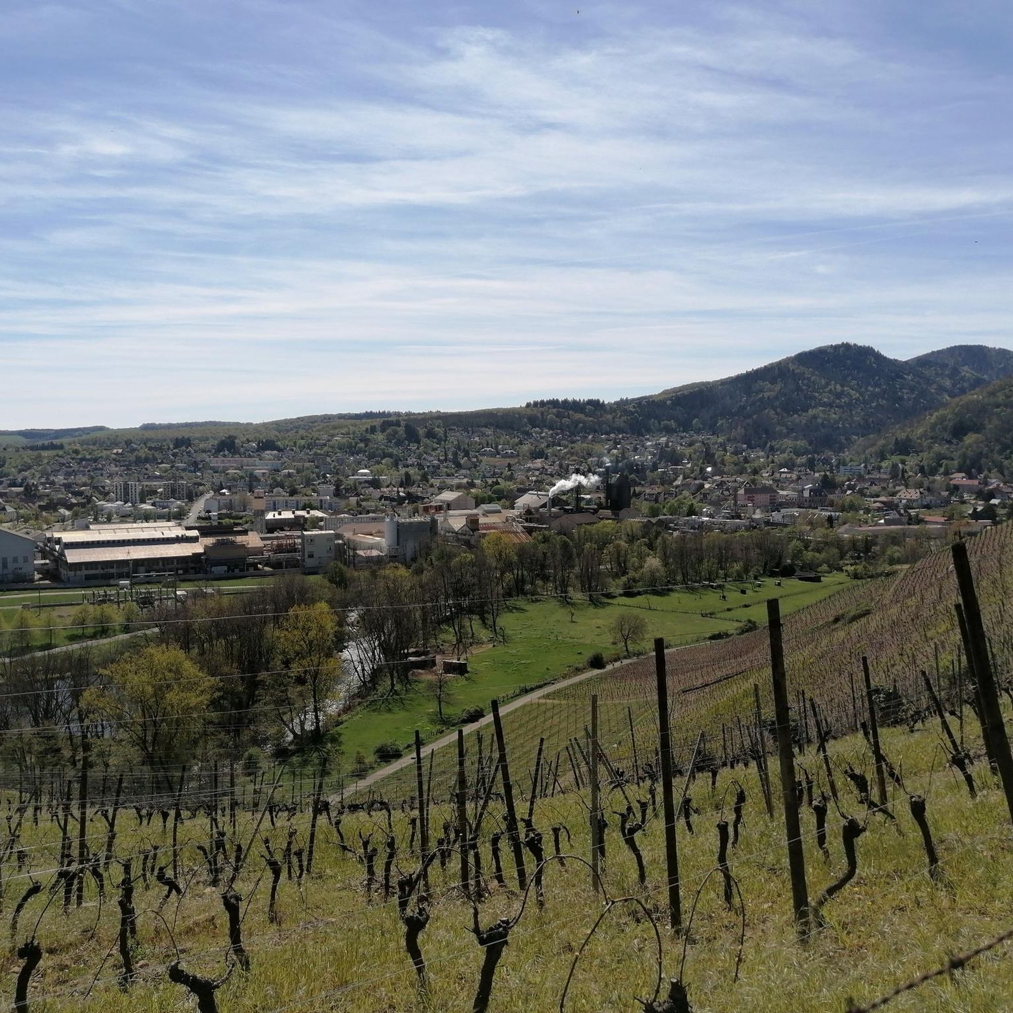
The VV221 cycle route is part of the EuroVélo 5 network and begins in Ensisheim at the Thur bridge and ends in Cernay after about 17 km. The route initially runs alongside the road, then past ponds and finally through a wooded area. It runs alongside the Thur and passes the Alsatian Ecomuseum (another route leads to Ungersheim via the Petit Prince Park). The Green Route then winds along the Thur, passing Pulversheim, Staffelfelden, and Wittelsheim, and finally reaches Cernay, still along the Thur.
0
0

Nice climb, very good asphalt. Little traffic (during the week in early June).
0
0

A beautiful, not too challenging climb on a wide, well-paved road. More views from the south than from the north.
0
1

The climb of the Col Amic from Soultz-Haut-Rhin is a beautiful and accessible climb in the Vosges, ideal for cyclists who love regularity and nature. The climb is 12.1 km long, bridges 559 meters of altitude and has an average gradient of 4.6%. The route winds through a quiet, wooded area and offers beautiful views of the Alsatian plain along the way. The summit is at 829 meters and forms a junction towards the Grand Ballon or the Hartmannswillerkopf massif. Thanks to its even profile, this climb is suitable for both recreational cyclists and athletic climbers.
6
0

April '25, now in poor condition, holes, potholes and many tree roots, unsafe.
0
0

Nice little thing with an average coating, but enough for gleaning.
0
0

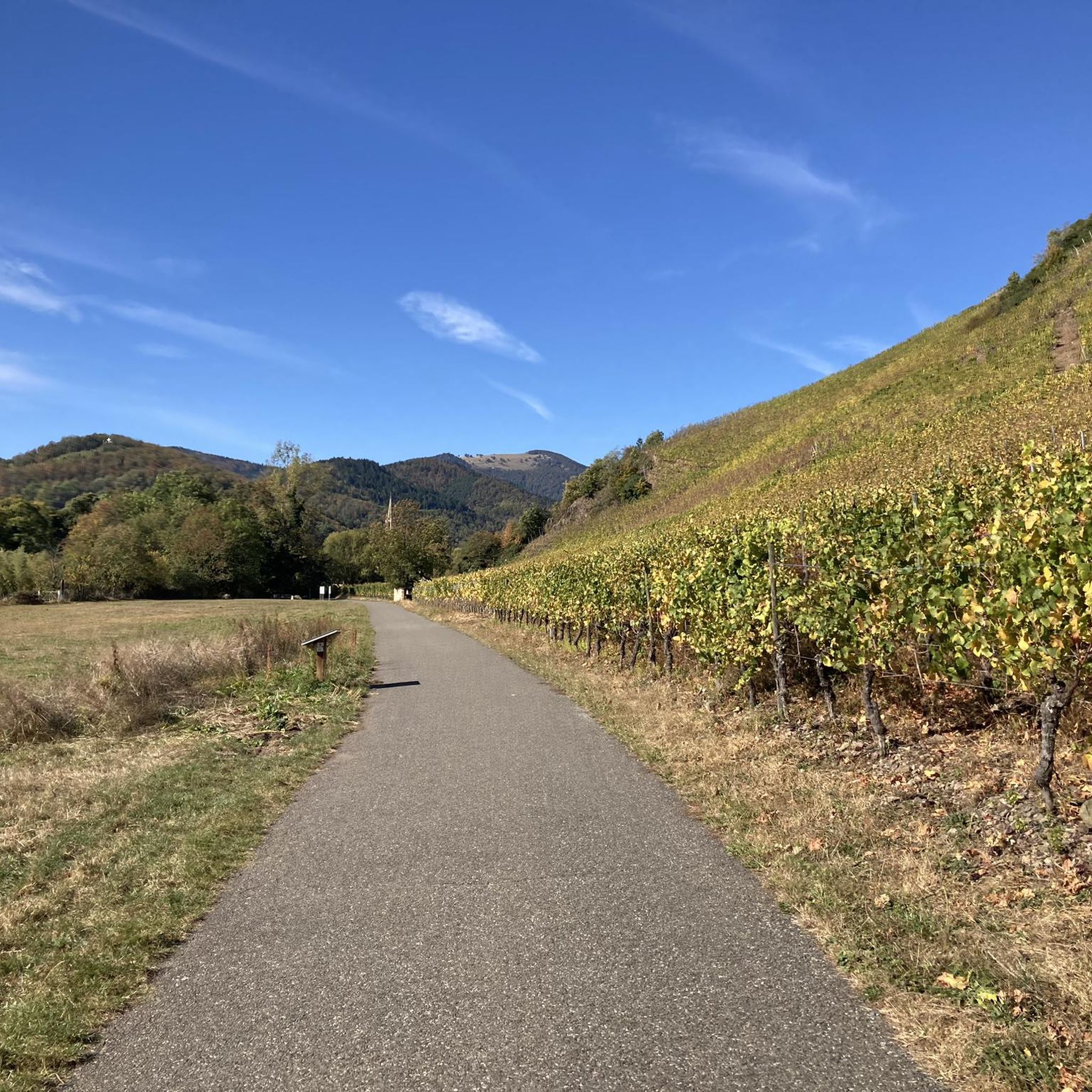
Bucolic macadam greenway along the Thur, in a quiet area
0
0

The last part with gravel passage and final 20% gradient
0
1
Frequently Asked Questions
How many road cycling routes are available around Altthann?
The Altthann region offers a wide selection of road cycling routes, with over 30 distinct tours available. These routes cater to various skill levels, from easy rides to very challenging climbs.
What kind of terrain can I expect on road cycling routes in Altthann?
Road cycling around Altthann offers incredibly diverse terrain. You'll encounter dense forests, scenic ridge paths, and charming vineyards. The routes often feature varied elevation profiles, from gentle slopes in the Thur Valley to significant climbs towards peaks like the Grand Ballon and the Col du Hundsruck in the Vosges Mountains.
Are there any easy road cycling routes suitable for beginners or families in Altthann?
Yes, there are several easier routes. For instance, the Alsace Vineyard and Michelbach Lake Loop is an easy 40.4 km ride that takes you through scenic vineyards and past the tranquil Lac Du Michelbach. The Thur Valley also offers more gentle cycling paths.
Where can I find challenging road cycling routes with significant climbs in the Altthann area?
For experienced road cyclists seeking a challenge, Altthann provides demanding routes with substantial elevation gains. Options include the difficult Chapel of Rammersmatt – Hundsruck Pass loop from Vieux-Thann, which features a significant ascent to the Col du Hundsruck. Another challenging option is the Planche des Belles Filles – La Planche des Belles Filles loop from Vieux-Thann, known for its considerable climb.
What are some scenic highlights or landmarks I can see along the road cycling routes?
Many routes offer stunning views and pass by notable landmarks. You can experience the panoramic vistas from the Route des Crêtes, or cycle through vineyards along the Alsace Wine Route. Historical sites like Hartmannswillerkopf (Vieil Armand) are also accessible. For natural beauty, routes often pass by lakes such as Michelbach Lake and Lac de Kruth-Wildenstein, and offer views of the Grand Ballon.
Are there circular road cycling routes available in the Altthann area?
Yes, many of the road cycling routes around Altthann are designed as loops, allowing you to start and finish at the same point. Examples include the Amic Pass – Climb to Col Amic loop from Vieux-Thann and the Eglingen Lock – Schweighouse - Reiningue loop from Vieux-Thann, providing convenient options for exploring the region.
What is the best time of year for road cycling around Altthann?
The best time for road cycling in Altthann is generally during the snow-free months, typically from spring through autumn. This period ensures access to higher altitude routes like the Route des Crêtes and the Grand Ballon, which can be affected by snow in winter. The mild weather also makes for pleasant rides through the vineyards and forests.
Are there places to stop for refreshments like cafes or pubs along the routes?
Yes, the region is dotted with charming towns and villages, especially along the Alsace Wine Route and in areas like Thann. You'll find opportunities to stop for refreshments, including cafes and local eateries, allowing you to refuel and experience the local culture during your ride.
How can I access the road cycling routes around Altthann using public transport?
Thann, a central town in the region, is generally accessible by public transport, which can serve as a starting point for many routes. For specific information on public transport options and how they connect to cycling routes, it's advisable to check local transport schedules for the Thann-Cernay region.
Where can I park my car when starting a road cycling tour in Altthann?
Parking is typically available in the towns and villages that serve as common starting points for cycling routes, such as Thann or Vieux-Thann. Look for designated parking areas within these communities, often near town centers or trailheads, to safely leave your vehicle while you cycle.
What do other cyclists say about road cycling in Altthann?
The road cycling routes around Altthann are highly rated by the komoot community, with an average score of 4.4 stars from over 130 reviews. Cyclists often praise the diverse landscapes, the challenging climbs, and the well-maintained paths that make for an enjoyable experience.
Are there any specific cycle paths or greenways in the Altthann region?
Yes, the Thann-Cernay region features an extensive network of marked circuits and cycle paths. Notable options include sections of the EuroVélo route, the Vineyard Cycle Route, and the Thur Valley Cycle Route, which provide dedicated and scenic routes for cyclists. More information can be found on the local tourism website: Cycle Paths and Greenways.
Most popular routes around Altthann
Most popular attractions around Altthann

Get inspired with the komoot mobile app


Explore more
Browse the best Road cycling routes in other regions.
