The best road cycling routes around Saint-Nom-La-Bretèche
4.4
(878)
15,954
riders
480
rides
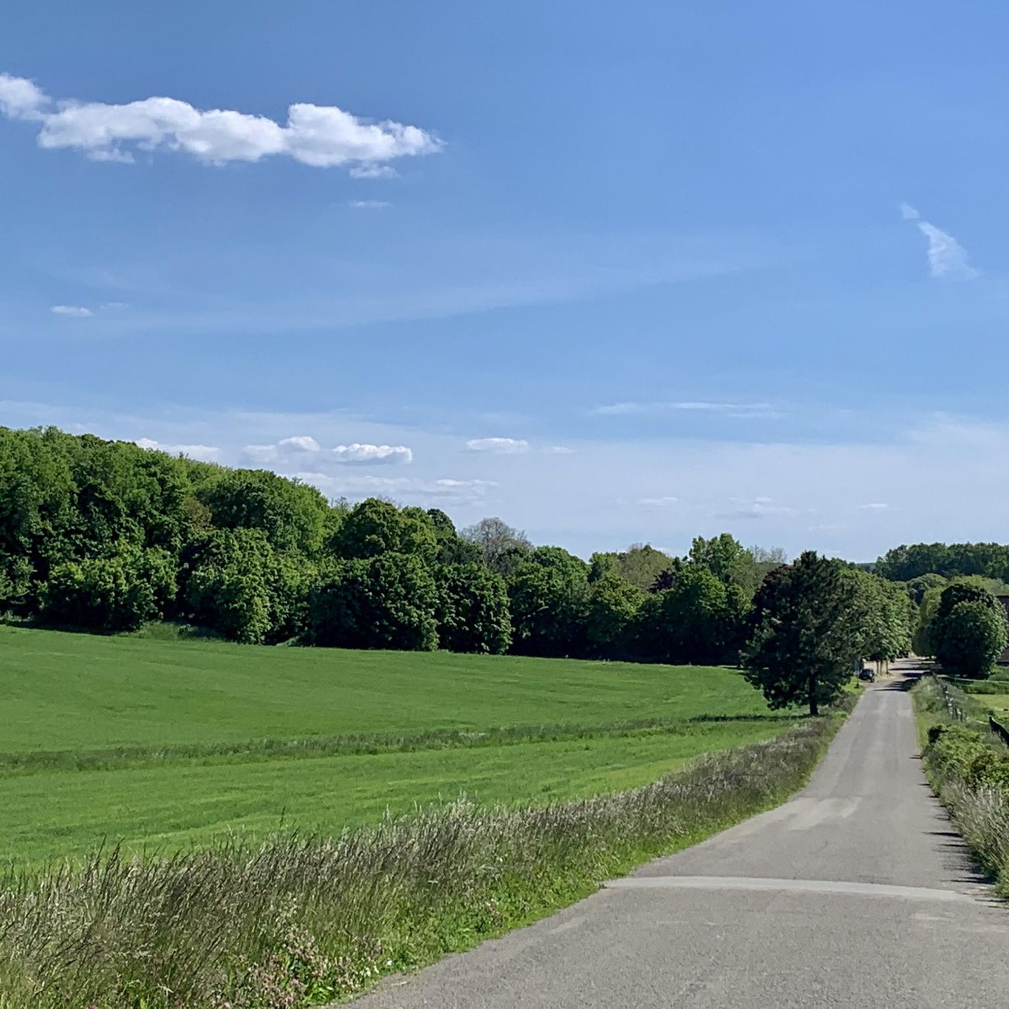
Road cycling routes around Saint-Nom-La-Bretèche traverse a varied and lightly forested countryside west of Paris. The region is characterized by its altitude ranging from 87 to 181 meters, providing diverse topography for cyclists. Features include the extensive Forest of Marly, rural valleys, and open plateaus, alongside tranquil ponds. This area offers a natural setting with green landscapes and orchards, suitable for road cycling.
Best road cycling routes around Saint-Nom-La-Bretèche
- The most popular road cycling route is View of Thoiry Castle…
Last updated: July 3, 2026
5.0
(1)
100
riders
Moderate road ride. Good fitness required. Mostly well-paved surfaces and easy to ride.
5.0
(1)
48
riders
Moderate road ride. Good fitness required. Mostly well-paved surfaces and easy to ride.

Sign up for free
8
riders
Moderate road ride. Good fitness required. Mostly well-paved surfaces and easy to ride.
4
riders
Moderate road ride. Good fitness required. Mostly well-paved surfaces and easy to ride.
6
riders
Moderate road ride. Good fitness required. Mostly well-paved surfaces and easy to ride.
Get access to more routes and recommendations from other explorers.
Sign up for free
Already have an account?
Our route recommendations are based on thousands of hikes, rides, and runs completed by other people on komoot.
Start today with a free account
Your next adventure awaits.
Login or Signup
Tips from the Community

The Château des Mesnuls is a historic castle in the Louis XIII style built of brick and stone, located in the commune of Les Mesnuls, in the Yvelines department in France. The structure, protected since 1945 and officially classified as a historic monument in 1975, is not open to the public for classic individual tourist visits. The building is indeed owned by the Châteauform' chain and is entirely dedicated to corporate seminars, conferences, and private events.
0
0


Very nice road, very smooth. I recommend it.
0
0

Difficult rating in VSF
0
0
rather quiet road in the middle of the fields
0
0
It was just horrible! Too hard hahahaaa and a lot of cars
0
0
Frequently Asked Questions
How many road cycling routes are available around Saint-Nom-La-Bretèche?
There are over 500 road cycling routes around Saint-Nom-La-Bretèche, offering a wide range of options for cyclists. These include 76 easy routes, 352 moderate routes, and 72 difficult routes, ensuring there's something for every skill level.
What is the typical terrain and difficulty for road cycling in this region?
The terrain around Saint-Nom-La-Bretèche is characterized by a varied and lightly forested countryside. You'll find a mix of gentle gradients and some moderate ascents, providing an engaging experience for road cyclists. The routes range from easy to difficult, with a significant number of moderate options.
Are there any easy road cycling routes suitable for beginners or families?
Yes, there are 76 easy road cycling routes around Saint-Nom-La-Bretèche. A great option for an easier ride is the Allée du Bois de Marly loop from Saint-Nom-la-Bretèche, which is just under 13 km long with minimal elevation gain, perfect for a relaxed outing.
What natural features can I expect to see along the road cycling routes?
The region offers beautiful, lightly forested countryside with unspoilt scenery, including orchards. You'll often ride near the historic Forest of Marly, and the area is known for its green landscapes. While not directly on all routes, the nearby Minière Ponds offer a tranquil natural attraction.
What historical landmarks or attractions can I visit while road cycling in the area?
Road cycling routes around Saint-Nom-La-Bretèche can bring you close to several significant attractions. The iconic Palace of Versailles is approximately 10-12 kilometers away, and the Château de Saint-Germain-en-Laye is also nearby. Within Saint-Nom-La-Bretèche itself, you can see the 13th-century church of Saint-Nom and the exteriors of the private Château de la Bretèche.
Are there any loop road cycling routes available?
Yes, many of the road cycling routes in the area are loops. For example, the Route de Villepreux – Virages des flambertins loop from Saint-Nom-la-Bretèche - Forêt de Marly is a popular moderate loop covering 57.5 km through the lightly forested countryside.
What do other road cyclists enjoy most about road cycling in Saint-Nom-La-Bretèche?
The area is highly rated by the komoot community, with an average score of 4.3 stars from over 700 reviews. Cyclists often praise the varied and unspoilt scenery, the picturesque roads, and the diverse options for different ability levels, from easy rides to more challenging moderate routes.
Is it possible to access road cycling routes using public transport?
Saint-Nom-La-Bretèche is situated west of Paris, and public transport options are available to reach the commune. Cyclists can typically bring their bikes on certain regional trains (Transilien) outside of peak hours. It's advisable to check the specific train line's regulations for bike transport before planning your trip.
Where can I find parking for cyclists in Saint-Nom-La-Bretèche?
As a commune west of Paris, Saint-Nom-La-Bretèche offers various parking options within the town center and near popular starting points for routes. Specific parking details can often be found on local municipal websites or by checking the starting points of individual komoot tours.
What is the best time of year for road biking in Saint-Nom-La-Bretèche?
The region's varied and unspoilt scenery, including orchards and lightly forested countryside, makes it enjoyable for road cycling across multiple seasons. Spring and autumn generally offer pleasant temperatures and beautiful landscapes. Summer can also be excellent, though it's wise to plan rides for cooler parts of the day.
Are there any long-distance road cycling routes in the area?
Yes, there are several longer road cycling routes. For instance, the Virages des flambertins – Rapeseed fields loop from Saint-Nom-la-Bretèche - Forêt de Marly is a substantial 100.5 km trail, often completed in about 4 hours 33 minutes, leading through open fields and varied terrain.
Can I find cafes or restaurants along the road cycling routes?
While specific cafes directly on every route segment are not guaranteed, the routes often pass through or near charming villages and towns in the region. Saint-Nom-La-Bretèche itself, and other nearby communes, offer various options for cafes, restaurants, and places to refuel during or after your ride.
Most popular routes around Saint-Nom-La-Bretèche
Most popular attractions around Saint-Nom-La-Bretèche

Get inspired with the komoot mobile app


Explore more
Browse the best Road cycling routes in other regions.
