The best road cycling routes around Petite-Forêt
4.3
(309)
6,178
riders
536
rides
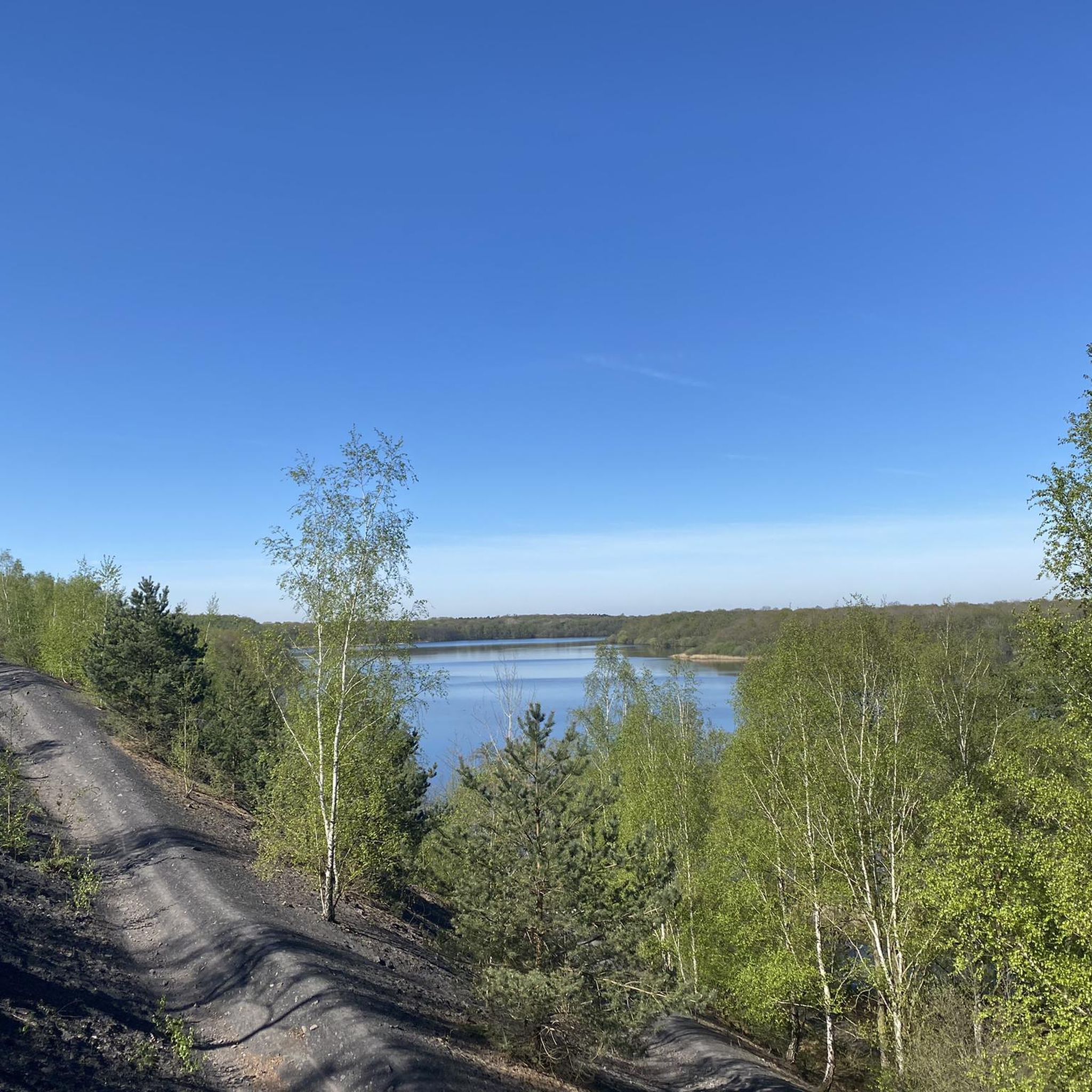
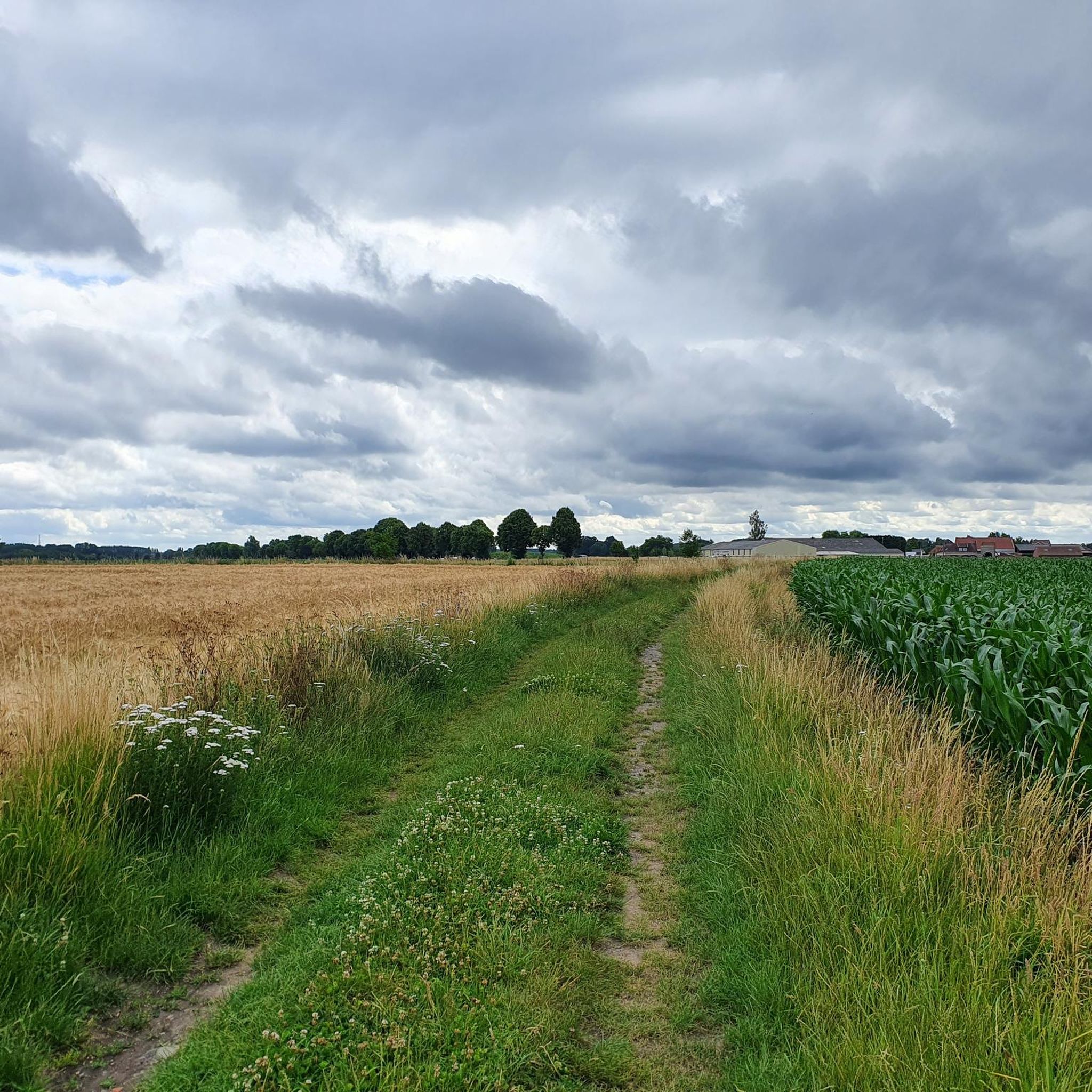
Road cycling routes around Petite-Forêt traverse a landscape characterized by gentle hills, historical sites, and forested areas. The region offers varied terrain suitable for road cyclists, from relatively flat sections to routes with moderate elevation gains. This area provides a blend of natural scenery and cultural landmarks, making it suitable for diverse cycling experiences.
Best road cycling routes around Petite-Forêt
- The most popular road cycling route is Mont-Saint-Aubert – Belfry of Tournai loop from Raismes, a 48.6 miles (78.2…
Last updated: October 9, 2026
4.0
(1)
51
riders
78.2km
03:24
370m
370m
Moderate road ride. Good fitness required. Some segments of this route may be unpaved and difficult to ride.
3.0
(1)
44
riders
86.6km
03:41
460m
460m
Moderate road ride. Good fitness required. Mostly well-paved surfaces and easy to ride.

5.0
(2)
37
riders
42.7km
01:46
160m
160m
Easy road ride. Great for any fitness level. Mostly well-paved surfaces and easy to ride.
28
riders
35.5km
01:25
90m
90m
Moderate road ride. Great for any fitness level. Some segments of this route may be unpaved and difficult to ride.
21
riders
109km
04:32
340m
340m
Moderate road ride. Good fitness required. Some segments of this route may be unpaved and difficult to ride.
Get access to more routes and recommendations from other explorers.
Already have an account?
Our route recommendations are based on thousands of hikes, rides, and runs completed by other people on komoot.
Start today with a free account
Your next adventure awaits.



Tips from the Community

Cathedral on the market square Tournai
1
1

The belfry of Tournai is the oldest in Belgium (12th century). The building, which is part of the UNESCO World Heritage, is 72 metres high and dominates the Grand-Place. During the ascent of the tower with its 257 steps, one discovers various didactic exhibitions, the prison, the carillonneur's room and finally the bells which ring every Sunday during the summer (around 3:30 PM). The belfry of Tournai, built in 1192, symbolises municipal freedoms. Its bell (the “Bancloque”) was used to warn the population of trials, executions, invasions, fires, etc. The belfry served as a watchtower, prison, bell tower and town hall. You have access to the first terrace, which offers a breathtaking view of Tournai and its surroundings. source: visitwapi.be
5
0

Very special place to take pictures
0
0
The Pont des Trous, or "Bridge of Holes," is a historic Gothic bridge spanning the Scheldt River in Tournai, Belgium. It's considered one of the most significant vestiges of medieval military architecture in Belgium and a symbolic monument of Tournai https://www-crediblebh.com
6
0

it's long
1
0


St Amand les eaux mill easily accessible from the road.
1
0

This climb to St Aubert takes you through beautiful landscapes. Some steep parts and a hairpin bend provide a challenge, but there are also moments where you can catch your breath.
1
0
Frequently Asked Questions
How many road cycling routes are available around Petite-Forêt?
There are over 550 road cycling routes available around Petite-Forêt, offering a wide variety of distances and difficulty levels to suit different preferences.
What kind of terrain can I expect on road cycling routes in Petite-Forêt?
The region features a mix of gentle hills, forested areas, and open countryside. You'll find routes with relatively flat sections as well as those with moderate elevation gains, providing diverse cycling experiences.
Are there easy road cycling routes suitable for beginners in Petite-Forêt?
Yes, Petite-Forêt offers 134 easy road cycling routes. An example is the Mont des Bruyères – Arenberg Mining Site loop from La Sentinelle, which is 21.4 miles (34.4 km) long and has minimal elevation gain.
Where can I find more challenging road cycling routes with significant elevation gain?
For a more challenging ride, consider routes like the Côte de la Cascade – Côte du Caillou qui Bique loop from Raismes. This 51.4 miles (82.7 km) path includes notable climbs and offers over 600 meters of elevation gain.
What are some notable historical or scenic attractions along the road cycling routes?
Many routes pass by significant landmarks. You can explore the historic Trouée d'Arenberg, a famous cobbled section, or enjoy the tranquility of Goriaux Pond. The Valenciennes Town Hall is also a prominent point of interest in the wider area.
Are there any long-distance road cycling routes in the Petite-Forêt area?
Yes, for longer rides, you can explore routes such as the Trouée d'Arenberg – Marchiennes State Forest loop from Raismes, which covers approximately 68 miles (109.8 km) and takes around 4 hours 40 minutes to complete.
What do other cyclists say about road cycling in Petite-Forêt?
The komoot community highly rates road cycling in Petite-Forêt, with an average score of 4.3 stars from over 200 reviews. Cyclists often praise the varied terrain, the blend of natural scenery with historical sites, and the well-maintained paths.
Are there circular road cycling routes available?
Many of the routes in Petite-Forêt are designed as loops, allowing you to start and finish at the same point. For example, the Mont-Saint-Aubert – Belfry of Tournai loop from Raismes is a popular circular option.
What is the best season for road biking in Petite-Forêt?
The best seasons for road biking in Petite-Forêt are typically spring, summer, and early autumn. During these months, the weather is generally mild, and the forested paths and open countryside are at their most scenic.
Is public transport available to access road cycling routes in Petite-Forêt?
While specific public transport options vary by starting point, many routes begin near towns or villages that may have local bus or train connections. It's advisable to check local transport schedules for the specific starting point of your chosen route.
Are there cafes or refreshment stops along the road cycling routes?
Many routes pass through or near small towns and villages where you can find cafes, bakeries, or small shops for refreshments. Planning your route with komoot allows you to identify potential stops along the way.
Where can I park my car when starting a road cycling route?
Parking availability varies by starting point. Many routes begin in or near towns like Raismes or La Sentinelle, where public parking may be available. It's recommended to check parking options for your specific starting location in advance.
Most popular routes around Petite-Forêt
Most popular attractions around Petite-Forêt

Get inspired with the komoot mobile app


Explore more
Browse the best Road cycling routes in other regions.
