The best walks and hikes around Thivencelle
4.4
(1693)
7,226
hikers
331
hikes
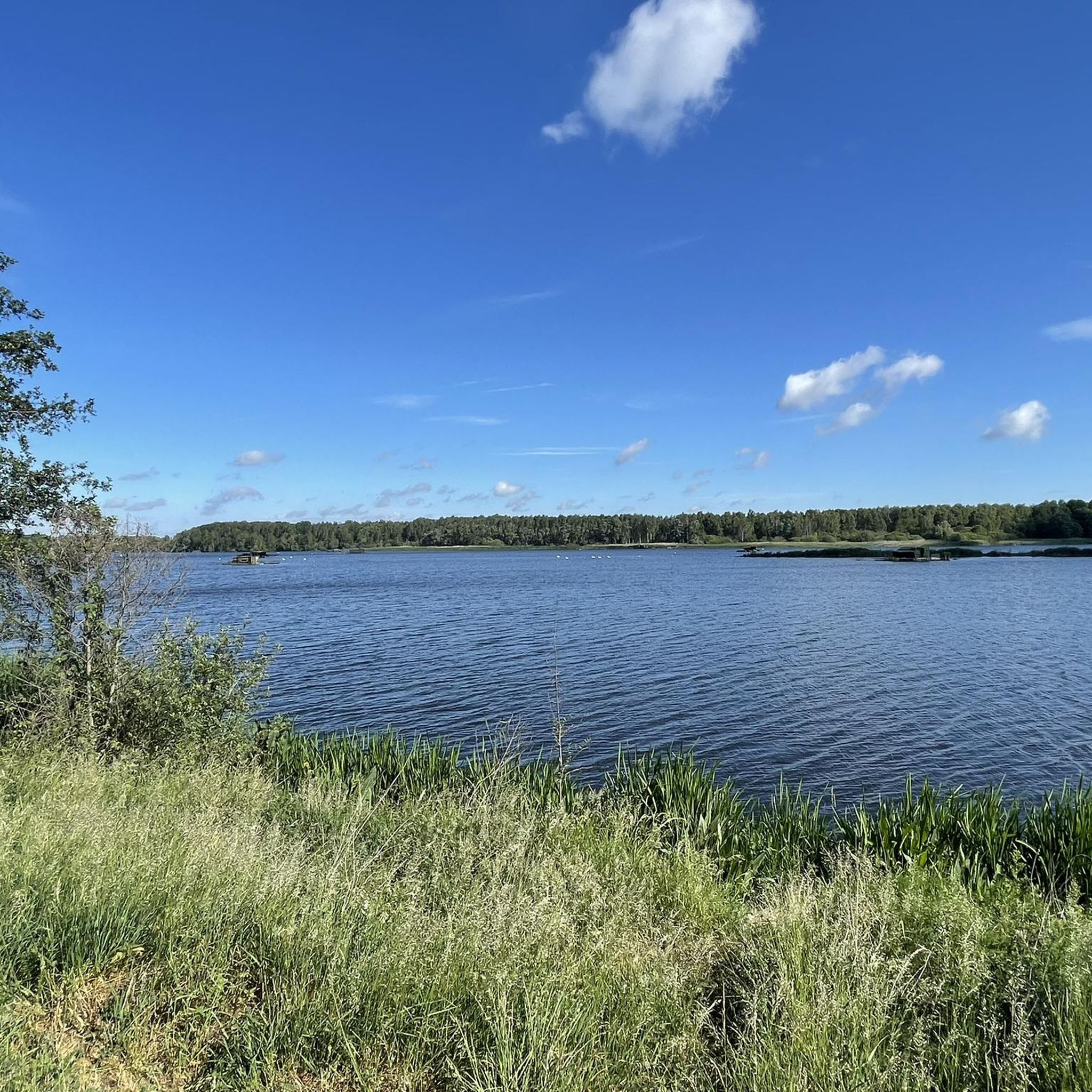
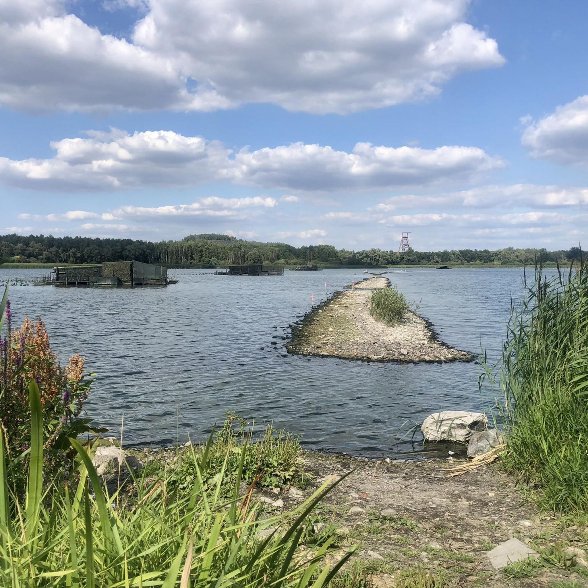
Hiking around Thivencelle offers access to diverse landscapes within the Scarpe-Escaut Regional Natural Park. The terrain is characterized by remnants of mining heritage, including vegetated slag heaps known as "terrils," which provide elevated viewpoints. The region also features water bodies such as Étang Chabaud-Latour and the pond of La Digue Noire, integrated into various hiking loops. Extensive forested areas like the Raismes-Saint-Amand-Wallers forest provide shaded paths and rich natural environments.
Best hiking trails around Thivencelle
- The most popular hiking route…
Last updated: June 26, 2026
4.6
(129)
468
hikers
10.1km
02:37
60m
60m
Moderate hike. Good fitness required. Easily-accessible paths. Suitable for all skill levels.
4.6
(77)
354
hikers
Easy hike. Great for any fitness level. Easily-accessible paths. Suitable for all skill levels.

Sign up for free
4.3
(6)
20
hikers
Hard hike. Very good fitness required. Easily-accessible paths. Suitable for all skill levels.
4.4
(10)
55
hikers
Moderate hike. Good fitness required. Easily-accessible paths. Suitable for all skill levels.
4.3
(3)
28
hikers
4.71km
01:12
20m
20m
Easy hike. Great for any fitness level. Easily-accessible paths. Suitable for all skill levels.
Get access to more routes and recommendations from other explorers.
Sign up for free
Already have an account?
Our route recommendations are based on thousands of hikes, rides, and runs completed by other people on komoot.
Start today with a free account
Your next adventure awaits.
Login or Signup

Tips from the Community

Very imposing when you walk or cycle underneath it.
0
0
Quite imposing when you walk or cycle over it
0
0
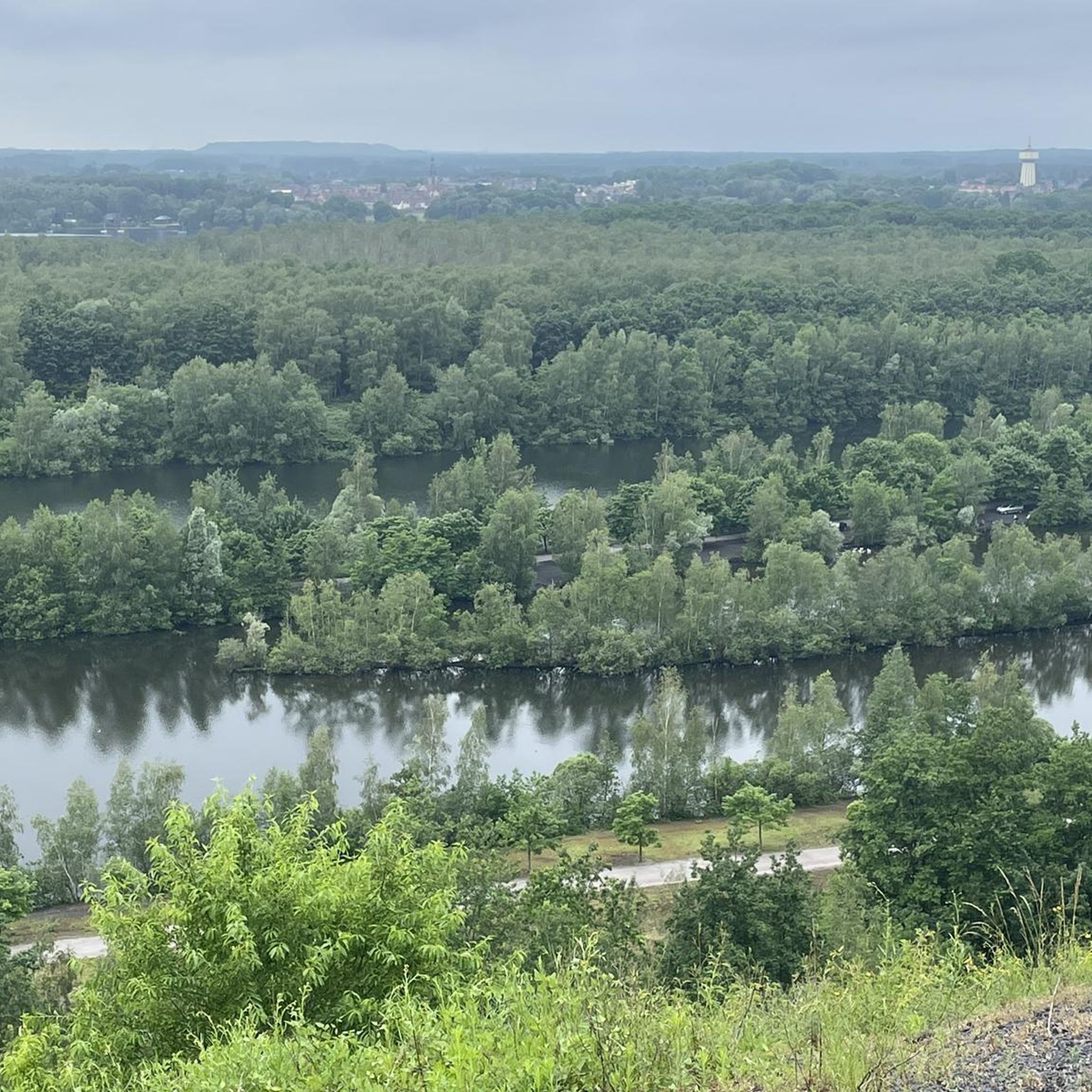
The climb is steep but you are rewarded with the view once you get there.
0
0


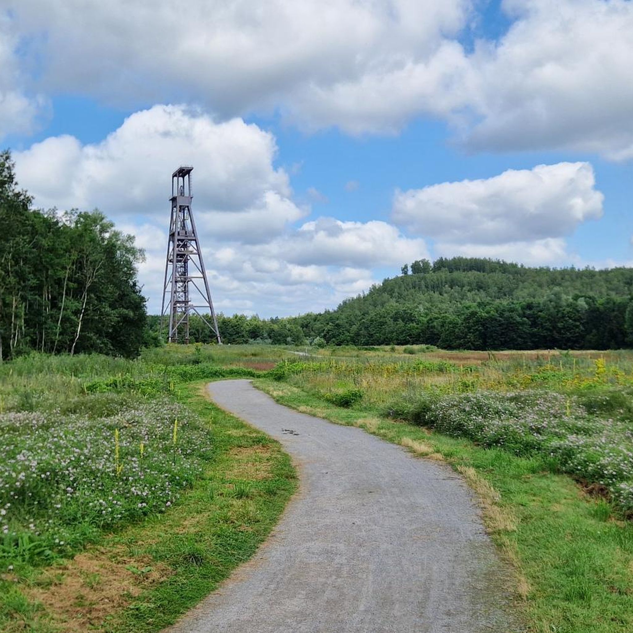
great route organized by the tourist office this Sunday, June 15, 2025, with stops at interesting places of passage (bird viewpoint, headframe, Conde monuments)
1
0

The Harchies Marshes, located in Wallonia, have a rich and eventful history. In the 18th century, the Haine Valley was bordered by wet and marshy meadows, but no body of water existed. Between 1925 and 1930, mining caused subsidence, creating depressions invaded by the water table. In the 1950s, the surface area covered by water increased, promoting exceptional biodiversity. Between 1968 and 1971, the site drained, threatening its ecosystem. From 1973-1974, preservation efforts allowed the marsh to revive. In 1986, the site was recognized as a Ramsar area, highlighting its ecological importance. Today, it covers approximately 550 hectares and is classified as a Special Protection Area. It is home to a wide variety of habitats and more than 250 bird species. It remains a popular birdwatching site for birdwatchers and nature lovers.
1
0

An easy 8 km hike around a beautiful pond. Lots of birds.
0
0
Frequently Asked Questions
How many hiking trails are available around Thivencelle?
There are over 320 hiking routes around Thivencelle, offering a wide range of options for different skill levels and preferences. This includes 132 easy routes, 171 moderate routes, and 23 difficult routes.
What kind of terrain can I expect on hikes in Thivencelle?
Hiking around Thivencelle features diverse terrain, including remnants of its mining heritage like vegetated slag heaps known as "terrils," which provide elevated viewpoints. You'll also find paths through natural parklands and along serene water bodies such as Lac Cabaud Latour and the pond of La Digue Noire.
Are there any easy, family-friendly hikes in the area?
Yes, Thivencelle offers several easy routes suitable for families. An excellent option is the Ledoux Shaft Headframe – Étang Chabaud-Latour loop from Condé-sur-l'Escaut, an easy 4.5-mile (7.2 km) path that features a historic landmark and tranquil waters. Another easy choice is the Étang Chabaud-Latour – Chabaud-Latour Pond loop from Condé-sur-l'Escaut, a 4.8-mile (7.7 km) trail through natural parklands.
What are some notable landmarks or natural features to see while hiking?
The region's unique mining heritage is a key feature, with "terrils" (slag heaps) offering panoramic views. You can explore these on routes like the La Canarderie Trail. Additionally, natural water bodies such as Étang Chabaud-Latour and the pond of La Digue Noire are integrated into many hiking loops, providing picturesque settings.
Are there any circular hiking routes around Thivencelle?
Yes, many of the trails around Thivencelle are circular. For example, the Ledoux Shaft Headframe – Étang Chabaud-Latour loop from Condé-sur-l'Escaut and the Étang Chabaud-Latour – Chabaud-Latour Pond loop from Condé-sur-l'Escaut are both popular circular options that allow you to start and end at the same point.
What do other hikers enjoy most about hiking in Thivencelle?
The area is highly rated by the komoot community, with an average score of 4.5 stars from over 1400 reviews. Hikers often praise the unique combination of natural beauty with historical industrial landscapes, the serene water bodies, and the varied terrain that offers options for different ability levels.
Is Thivencelle part of a natural park?
Yes, Thivencelle is situated near or within the Scarpe-Escaut Regional Natural Park (Parc naturel régional Scarpe-Escaut). This park provides a rich natural setting for outdoor activities and contributes to the diverse landscapes found on the hiking trails.
Are there any specific trails that highlight the mining heritage?
Absolutely. The region is known for its mining heritage. The La Canarderie Trail is a 6.3-mile (10.1 km) route specifically designed to explore this aspect, including the "terrils" or slag heaps of Ledoux Moulineaux, which now offer scenic vistas. Another option is the Ledoux-Moulineaux spoil tip – Ledoux Shaft Headframe loop from Macou.
What is the best season for hiking in Thivencelle?
While hiking is possible year-round, spring and autumn generally offer the most pleasant conditions with milder temperatures and beautiful foliage. Summer can also be enjoyable, but it's advisable to start early to avoid the midday heat. Winter hiking is possible, but some paths might be muddy or require appropriate gear.
Are there any dog-friendly trails in Thivencelle?
Many trails in the Scarpe-Escaut Regional Natural Park are dog-friendly, provided dogs are kept on a leash to protect wildlife and ensure the safety of other hikers. It's always a good idea to check specific trail regulations or local signage before heading out with your dog.
What are some other natural attractions near Thivencelle?
Beyond the immediate trails, you can explore other natural areas like the Parc de La Porte du Hainaut and the Scheldt Plain Nature Park House - A Forest Halt. Nearby natural monuments include the Mer de Sable State Reserve and the Marais d'Harchies-Hensies-Pommerœul Nature Reserve.
Is public transport available to reach hiking trailheads?
Information on specific public transport routes directly to all trailheads can vary. It is recommended to check local bus schedules or regional transport services that connect to towns near the Scarpe-Escaut Regional Natural Park, such as Condé-sur-l'Escaut, from where many trails originate.
Most popular routes around Thivencelle
Most popular attractions around Thivencelle

Get inspired with the komoot mobile app


Explore more
Browse the best Hikes in other regions.
