The best walks and hikes around Gif-Sur-Yvette
4.7
(149)
1,308
hikers
59
hikes
Hiking around Gif-sur-Yvette offers diverse landscapes within the Parc Naturel Régional de la Haute Vallée de Chevreuse. The region is characterized by the meandering Yvette River Valley, extensive forests including the Gif-sur-Yvette forest and Bois de l'Éboulis, and the elevated Saclay Plateau. This varied terrain provides a network of trails that range from riverside paths to routes with moderate elevation changes.
Best hiking trails around Gif-Sur-Yvette
- The most popular hiking route is Grande Maison Park – The Ors Mill loop from Gif-sur-Yvette, a 16.6 miles (26.7 km) difficult trail that takes 7 hours 17 minutes to complete, exploring varied landscapes of the Haute Vallée de Chevreuse.
- Another top favourite among local hikers is St Aubin Communal Wood – Saint Aubin forest loop from Gif-sur-Yvette, an easy 4.3 miles (7.0 km) path. This route leads through the tranquil Bois de Saint-Aubin, offering shaded forest paths.
- Local hikers also love the The Tunnel – Fauvettes Viaduct loop from Gif-sur-Yvette, a 7.6 miles (12.2 km) trail leading through the local countryside and past the historic Fauvette Viaduct, often completed in about 3 hours 19 minutes.
- Hiking around Gif-sur-Yvette is defined by the Yvette River Valley, extensive forests, and the Saclay Plateau, offering a mix of flat riverside paths and routes with gentle ascents. The network provides options for different ability levels, from easy strolls to more challenging hikes.
- The routes in Gif-sur-Yvette are highly rated by the komoot community with an average score of 4.6 stars from over 100 reviews. More than 1000 hikers have used komoot to explore Gif-sur-Yvette's varied terrain.
Last updated: August 18, 2026
4.7
(62)
285
hikers
24.2km
06:36
360m
360m
Hard hike. Very good fitness required. Easily-accessible paths. Suitable for all skill levels.
5.0
(2)
113
hikers
12.7km
03:25
170m
170m
Moderate hike. Good fitness required. Easily-accessible paths. Suitable for all skill levels.

Sign up for free
113
hikers
7.09km
02:00
150m
150m
Moderate hike. Good fitness required. Easily-accessible paths. Suitable for all skill levels.
4.6
(13)
56
hikers
26.9km
07:46
670m
670m
Hard hike. Very good fitness required. Easily-accessible paths. Suitable for all skill levels.
4.8
(4)
108
hikers
7.30km
02:00
110m
110m
Moderate hike. Good fitness required. Easily-accessible paths. Suitable for all skill levels.
Get access to more routes and recommendations from other explorers.
Sign up for free
Already have an account?
Our route recommendations are based on thousands of hikes, rides, and runs completed by other people on komoot.
Start today with a free account
Your next adventure awaits.
Login or Signup
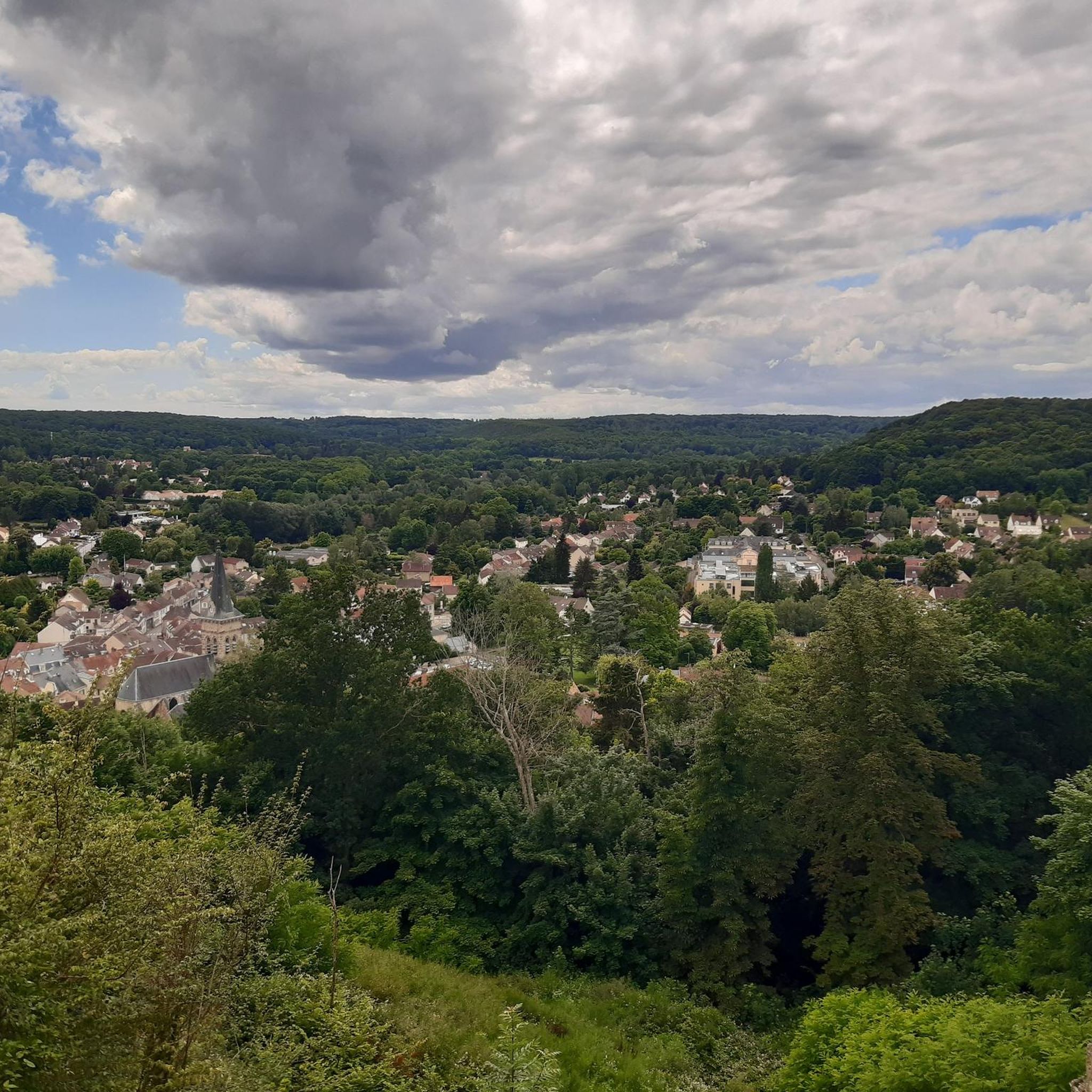
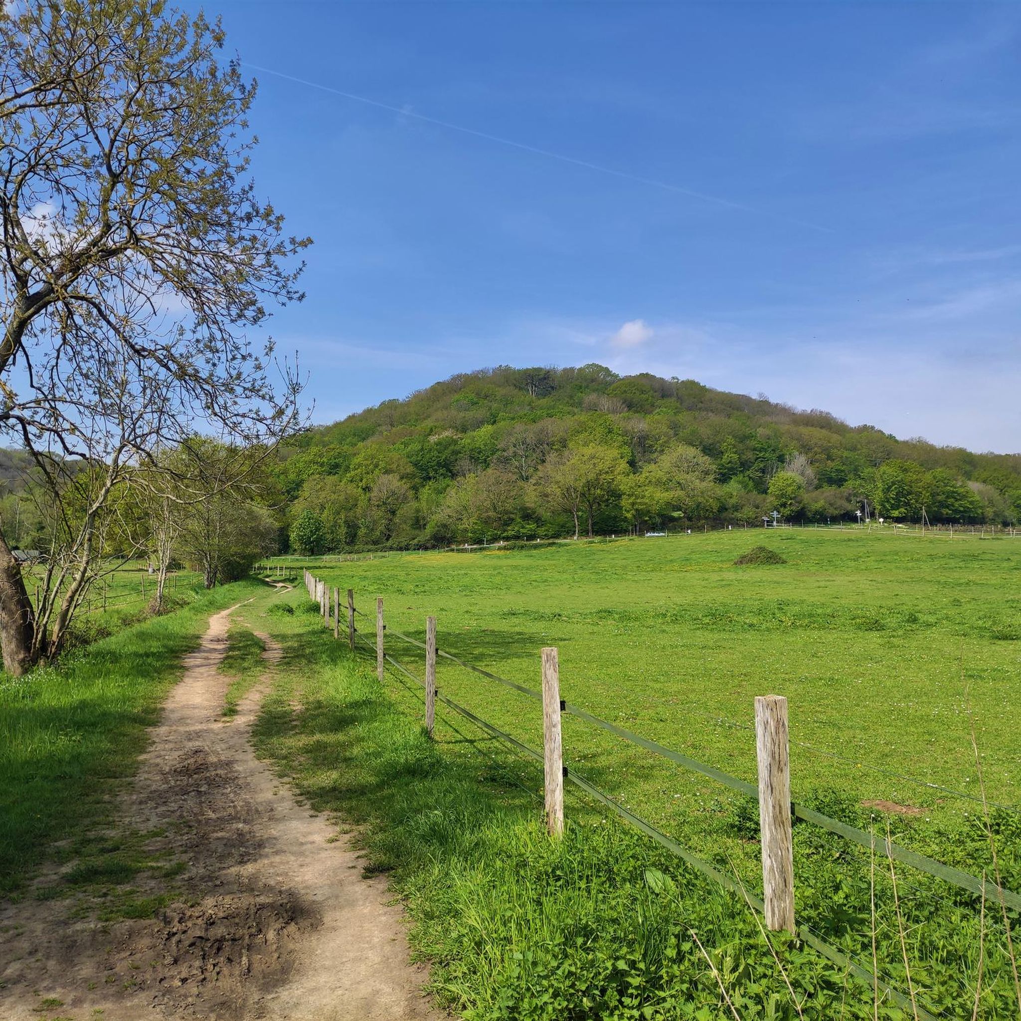
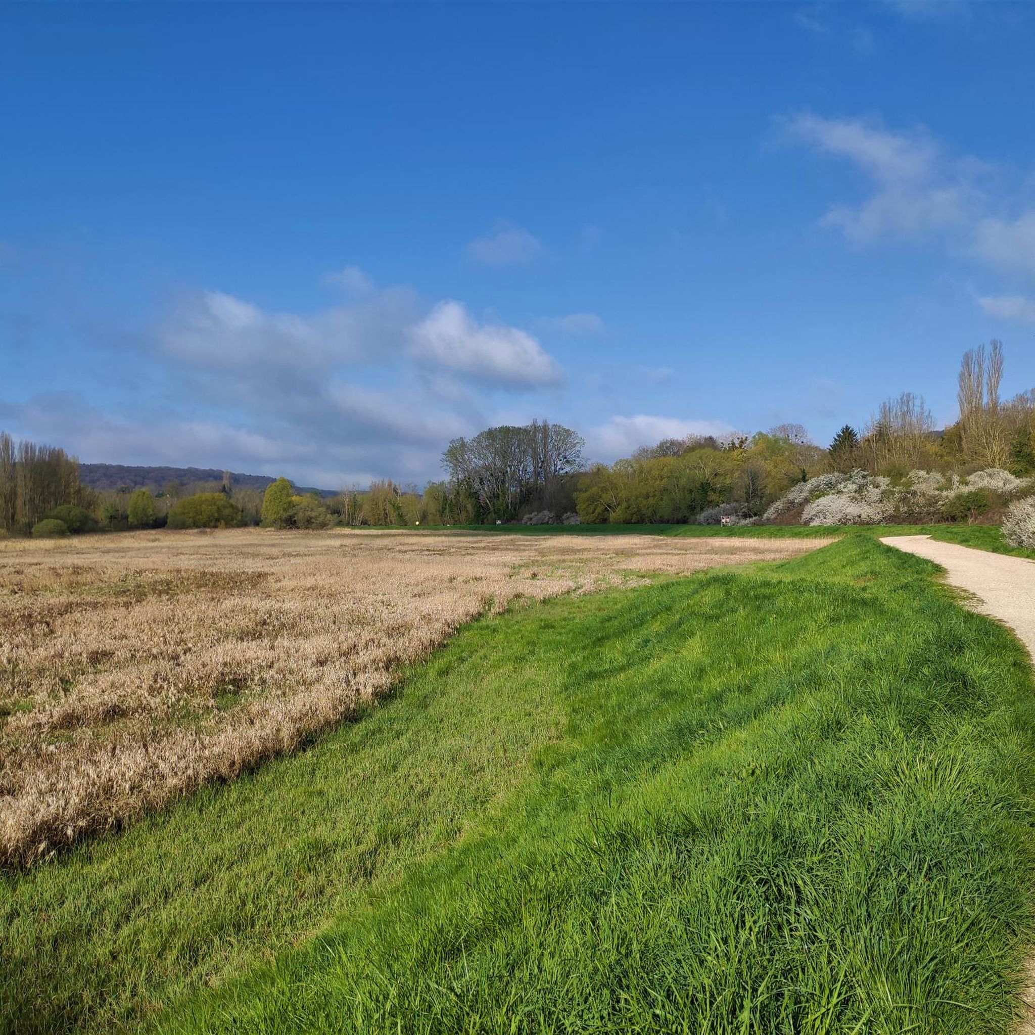
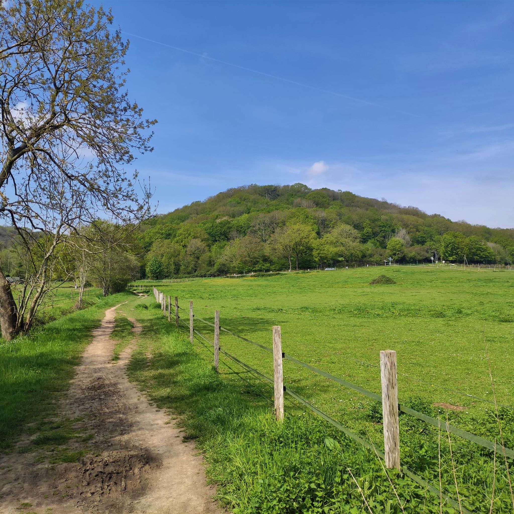
Tips from the Community

explanatory panel of the mill dating from the Middle Ages
0
0
rue du bois de Boulogne yet we are quite far from the bois de Boulogne 🤔
0
0

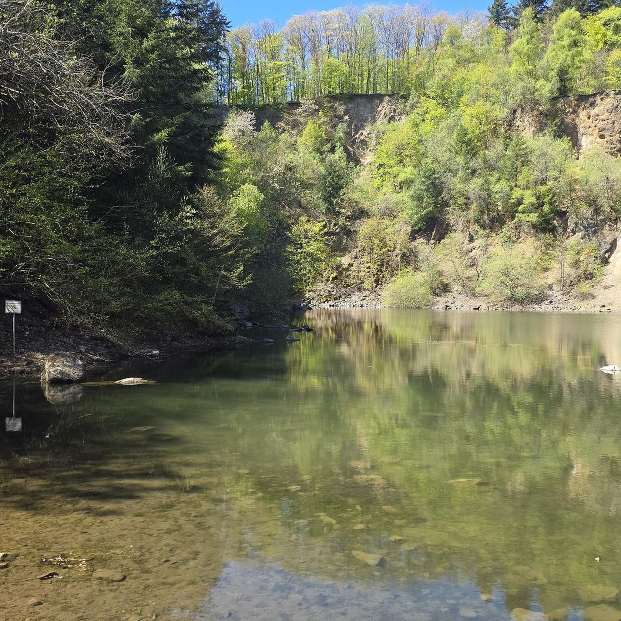
This site is unfortunately closed, too bad. However, the landscape is magnificent.
0
0

A bit muddy in places in January
0
0

This church is located on the site of an ancient priory attested in 1069. At that date, the knight Amaury, son of Geoffroy de Gometz, built a church, established canons there, then gave it, in 1074, to the monastery of Saint-Pierre de Bourgueil, with the consent of his overlords, Gui Ier de Montlhéry and his brother Hugues de Châteaufort.
0
0

Great view when you are at the top of the viaduct!
0
0
nice place
0
0
Passage before entering the forest.
0
0
Frequently Asked Questions
How many hiking trails are available around Gif-sur-Yvette?
There are over 50 hiking trails around Gif-sur-Yvette, offering a wide range of options for all skill levels. This includes 26 easy routes, 24 moderate routes, and 7 more challenging trails.
What kind of landscapes can I expect to see while hiking in Gif-sur-Yvette?
Hiking in Gif-sur-Yvette offers diverse landscapes within the Parc Naturel Régional de la Haute Vallée de Chevreuse. You'll find extensive forests like the Bois de Saint-Aubin, the meandering Yvette River Valley with serene riverside paths, and the elevated Saclay Plateau which provides routes with gentle ascents and scenic views.
Are there any family-friendly hiking options in Gif-sur-Yvette?
Yes, Gif-sur-Yvette has numerous easy trails suitable for families. For example, the St Aubin Communal Wood – Saint Aubin forest loop from Gif-sur-Yvette is an easy 7 km path through tranquil shaded forest, perfect for a family outing.
Can I find circular hiking routes in the area?
Many of the trails around Gif-sur-Yvette are circular, allowing you to start and end at the same point. An example is The Tunnel – Fauvettes Viaduct loop from Gif-sur-Yvette, a moderate 12.2 km route that takes you through the local countryside and past a historic landmark.
What historical or natural landmarks can I see along the trails?
The region is rich in points of interest. You can encounter historic structures like the Fauvette Viaduct, or explore natural features such as the Saclay Pond. Some routes also pass by significant sites like La Madeleine Castle, offering rewarding views from its vantage point.
Are there any challenging hikes for experienced hikers?
Yes, for experienced hikers seeking a challenge, there are several difficult routes. The Laricio pine – Footbridge loop from Gif-sur-Yvette is a demanding 27.4 km trail with significant elevation changes, offering a strenuous and rewarding experience.
What do other hikers say about the trails in Gif-sur-Yvette?
The trails in Gif-sur-Yvette are highly regarded by the komoot community, with an average rating of 4.6 stars from over 120 reviews. Hikers often praise the diverse scenery, well-maintained paths, and the peaceful atmosphere of the forests and river valleys.
Are there any trails that follow the Yvette River?
Yes, the Yvette River meanders through Gif-sur-Yvette, and many hiking routes incorporate its banks. These trails offer serene riverside strolls and opportunities to appreciate local flora and fauna. The Yvette Riverside Path – La Madeleine Castle loop from Courcelle-sur-Yvette is a great example, combining river views with historical sights.
What is the best way to access hiking trails in Gif-sur-Yvette?
Many trailheads in Gif-sur-Yvette are accessible by car, with parking often available near popular starting points. The region is also integrated into public transport networks, making it possible to reach many routes without a car. We recommend checking specific route details for parking and public transport information.
Are there any castles or historic sites to visit near the hiking routes?
Absolutely. The region is dotted with historical attractions. You can find medieval fortresses like La Madeleine Castle, historic mills along the Yvette River, and picturesque estates such as Château de Belleville. These sites often provide cultural and historical points of interest along or near hiking routes.
What is the longest hike available in Gif-sur-Yvette?
One of the longest routes is the Laricio pine – Footbridge loop from Gif-sur-Yvette, which spans approximately 27.4 km. This difficult trail offers an extensive exploration of the varied terrain around Gif-sur-Yvette.
Most popular routes around Gif-Sur-Yvette
Most popular attractions around Gif-Sur-Yvette

Get inspired with the komoot mobile app


Explore more
Browse the best Hikes in other regions.
