The best MTB trails around Saint-Remy-Chaussée
4.2
(69)
391
riders
57
rides
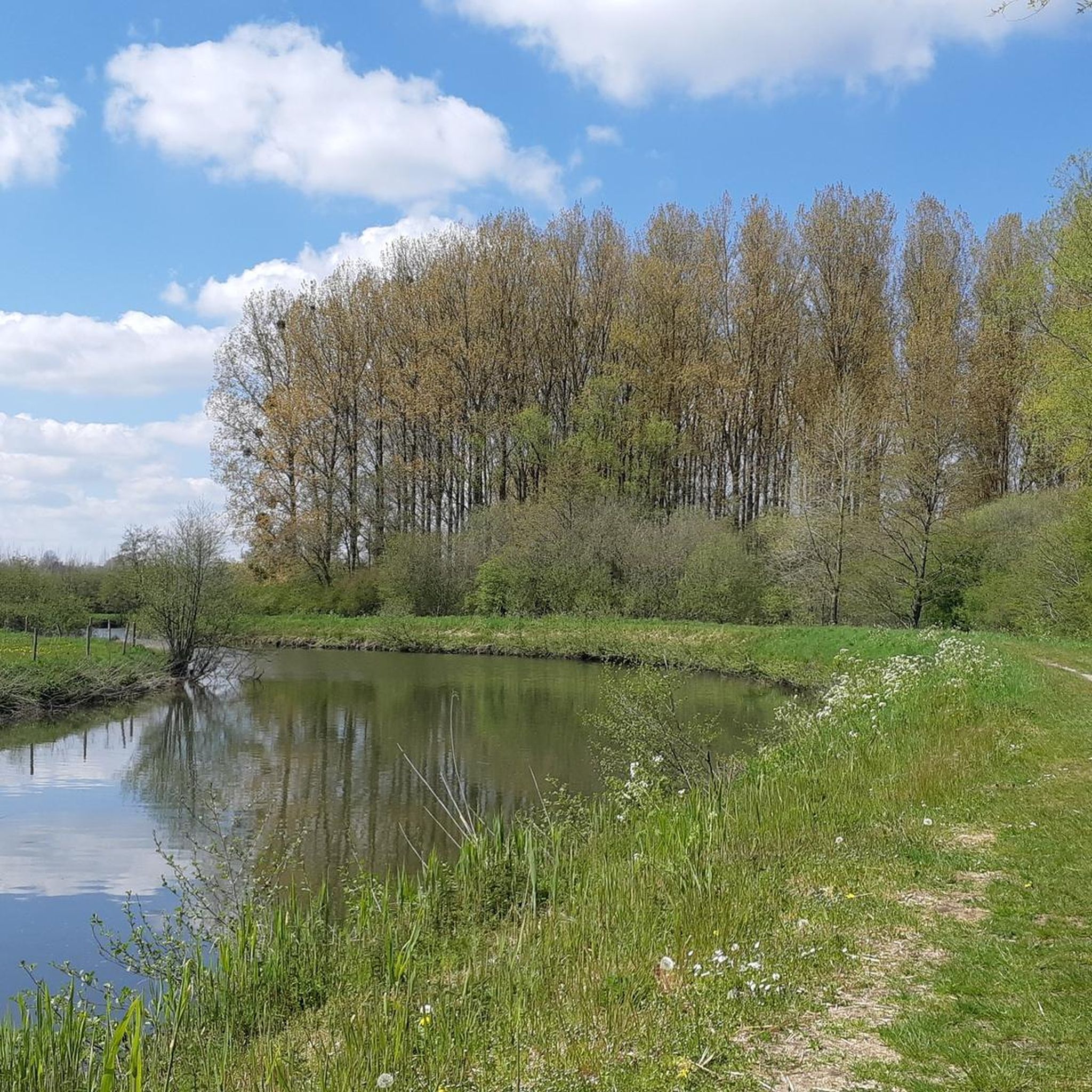
Mountain biking around Saint-Remy-Chaussée is characterized by its rural setting and proximity to the expansive Forest of Mormal. This region in the Nord department of France offers a network of paths through woodlands and countryside. The terrain primarily consists of forest trails and country roads, providing varied surfaces for mountain biking. The area features gentle elevation changes, making it accessible for different skill levels while still offering longer routes.
Best mountain bike trails around Saint-Remy-Chaussée
- The most popular mountain bike…
Last updated: July 9, 2026
4.2
(5)
33
riders
Hard mountain bike ride. Very good fitness required. Advanced riding skills necessary.
3.0
(1)
28
riders
37.1km
02:32
340m
340m
Moderate mountain bike ride. Good fitness required. Suitable for all skill levels.

Sign up for free
1.0
(1)
26
riders
38.7km
02:41
350m
350m
Moderate mountain bike ride. Good fitness required. Advanced riding skills necessary.
5.0
(4)
13
riders
32.4km
02:14
120m
120m
Moderate mountain bike ride. Good fitness required. Suitable for all skill levels.
3.0
(1)
3
riders
31.1km
01:53
130m
130m
Moderate mountain bike ride. Great for any fitness level. Advanced riding skills necessary.
Get access to more routes and recommendations from other explorers.
Sign up for free
Already have an account?
Our route recommendations are based on thousands of hikes, rides, and runs completed by other people on komoot.
Start today with a free account
Your next adventure awaits.
Login or Signup


Tips from the Community

Signpost in the Foret domaniale de Mormal
0
0

after 6 days without rain, still just as humid
0
0


Lots of uncovered picnic areas. Very nice asphalted railway line cycle path EV3.
2
0
Lots of uncovered picnic areas. Very nice asphalted railway line cycle path EV3.
2
0
Beautiful place, attractive old train station. From here on, the railway line cycle path EV3. The first short section is still unpaved, then asphalt.
2
0
Beautiful asphalted bike path in the forest.
1
0
Beautiful forest path in Foret Mormal.
2
0
Frequently Asked Questions
How many mountain bike trails are available around Saint-Remy-Chaussée?
There are over 50 mountain bike trails around Saint-Remy-Chaussée listed on komoot, offering a wide range of options for different skill levels and preferences.
Are there easy or family-friendly mountain bike trails in Saint-Remy-Chaussée?
Yes, Saint-Remy-Chaussée offers 21 easy mountain bike routes suitable for families or those looking for a relaxed ride. An example is the Chemin de la pannaterie – Trajet 30 min loop from Berlaimont, which is an easy 14.6-mile (23.4 km) loop with minimal elevation changes.
What are the options for experienced mountain bikers looking for a challenge?
For experienced mountain bikers, there are 8 difficult routes available. The most challenging is the Path along the fields – Bois de Ferrière-la-Petite loop from Aulnoye-Aymeries, a demanding 47.5-mile (76.4 km) trail with significant elevation gain.
Are there circular mountain bike routes in the area?
Many of the mountain bike trails around Saint-Remy-Chaussée are designed as circular routes, allowing you to start and finish at the same point. For instance, the Mountainbike loop from Dourlers is a moderate 22.9-mile (36.8 km) circular path that offers a mix of forest and open countryside.
What kind of terrain can I expect on mountain bike trails in Saint-Remy-Chaussée?
The terrain primarily consists of forest trails and country roads, providing varied surfaces. You'll find yourself riding through dense woodlands, rural countryside, and extensive forest paths, particularly within and around the expansive Forest of Mormal.
What do other mountain bikers enjoy most about the trails in Saint-Remy-Chaussée?
The area is highly rated by the komoot community, with an average score of 4.3 stars from over 60 reviews. Reviewers often praise the diverse landscapes, the peaceful atmosphere of the woodlands, and the well-maintained network of paths suitable for various skill levels.
Are there any notable landmarks or attractions along the mountain bike routes?
While riding, you might encounter interesting historical and natural sights. For example, you could pass by the Grand Fayt Mill or the Watermill in Parc Naturel Régional de l'Avesnois. The Saint-Pierre-aux-Liens Church of Grand-Fayt is another point of interest in the vicinity.
What is the best time of year to go mountain biking in Saint-Remy-Chaussée?
Spring and autumn generally offer the most pleasant conditions for mountain biking in Saint-Remy-Chaussée, with milder temperatures and beautiful scenery. Summer can also be enjoyable, especially in the shaded forest sections, but be mindful of warmer weather. Winter riding is possible, but trails may be muddy or icy depending on conditions.
Are there any moderate-difficulty mountain bike routes?
Yes, there are 29 moderate mountain bike routes available. A popular choice is the Small path loop from Dourlers, a 24-mile (38.7 km) route that offers a balanced challenge with moderate climbs and descents.
Where can I find parking for mountain bike trails in Saint-Remy-Chaussée?
Many routes start from towns like Aulnoye-Aymeries or Dourlers, where public parking is typically available. Specific trailheads within the Forest of Mormal often have designated parking areas, though it's always advisable to check the route details on komoot for precise starting points and parking information.
What is the typical duration of mountain bike trails in this region?
Trail durations vary significantly based on length and difficulty. For example, an easy route like the Carrefour du Croisil – Mormal Forest loop from Aulnoye-Aymeries (19.3 miles / 31.1 km) can be completed in about 1 hour 52 minutes, while a difficult, longer trail might take over 5 hours.
Most popular routes around Saint-Remy-Chaussée
Most popular attractions around Saint-Remy-Chaussée

Get inspired with the komoot mobile app


Explore more
Browse the best MTB trails in other regions.
