The best walks and hikes around Limont-Fontaine
4.5
(143)
986
hikers
137
hikes
Hiking around Limont-Fontaine offers varied landscapes in the Hauts-de-France region, characterized by rolling countryside and proximity to the Forêt de Mormal. The area features altitudes ranging from 137 to 184 meters, with the Sambre River and its canal cycle path providing additional routes. Smaller streams like the Cligneux and Écuélin contribute to the local hydrographic network, creating diverse hiking terrain.
Best hiking trails around Limont-Fontaine
- The most popular hiking route is Church and Town Hall of Dourlers – View of…
Last updated: July 9, 2026
5.0
(6)
14
hikers
Moderate hike. Good fitness required. Easily-accessible paths. Suitable for all skill levels.
3.5
(2)
11
hikers
7.59km
01:59
50m
50m
Easy hike. Great for any fitness level. Easily-accessible paths. Suitable for all skill levels.

Sign up for free
5.0
(2)
15
hikers
Moderate hike. Good fitness required. Easily-accessible paths. Suitable for all skill levels.
5.0
(1)
13
hikers
10.5km
02:46
90m
90m
Moderate hike. Good fitness required. Easily-accessible paths. Suitable for all skill levels.
4.0
(1)
4
hikers
8.65km
02:16
70m
70m
Moderate hike. Good fitness required. Easily-accessible paths. Suitable for all skill levels.
Get access to more routes and recommendations from other explorers.
Sign up for free
Already have an account?
Our route recommendations are based on thousands of hikes, rides, and runs completed by other people on komoot.
Start today with a free account
Your next adventure awaits.
Login or Signup
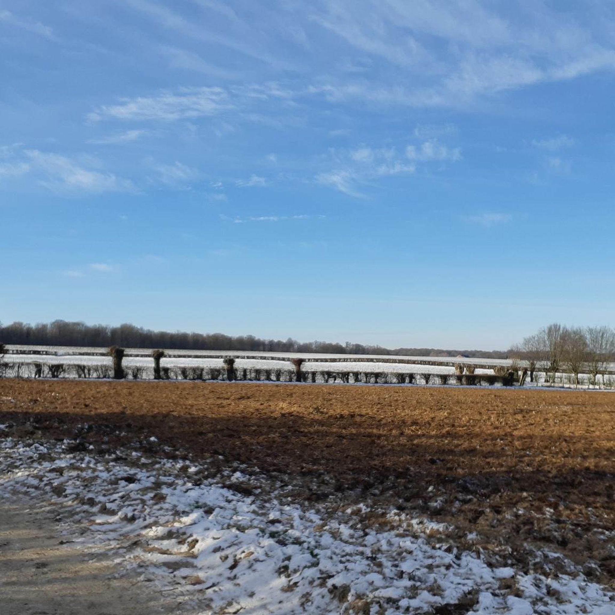
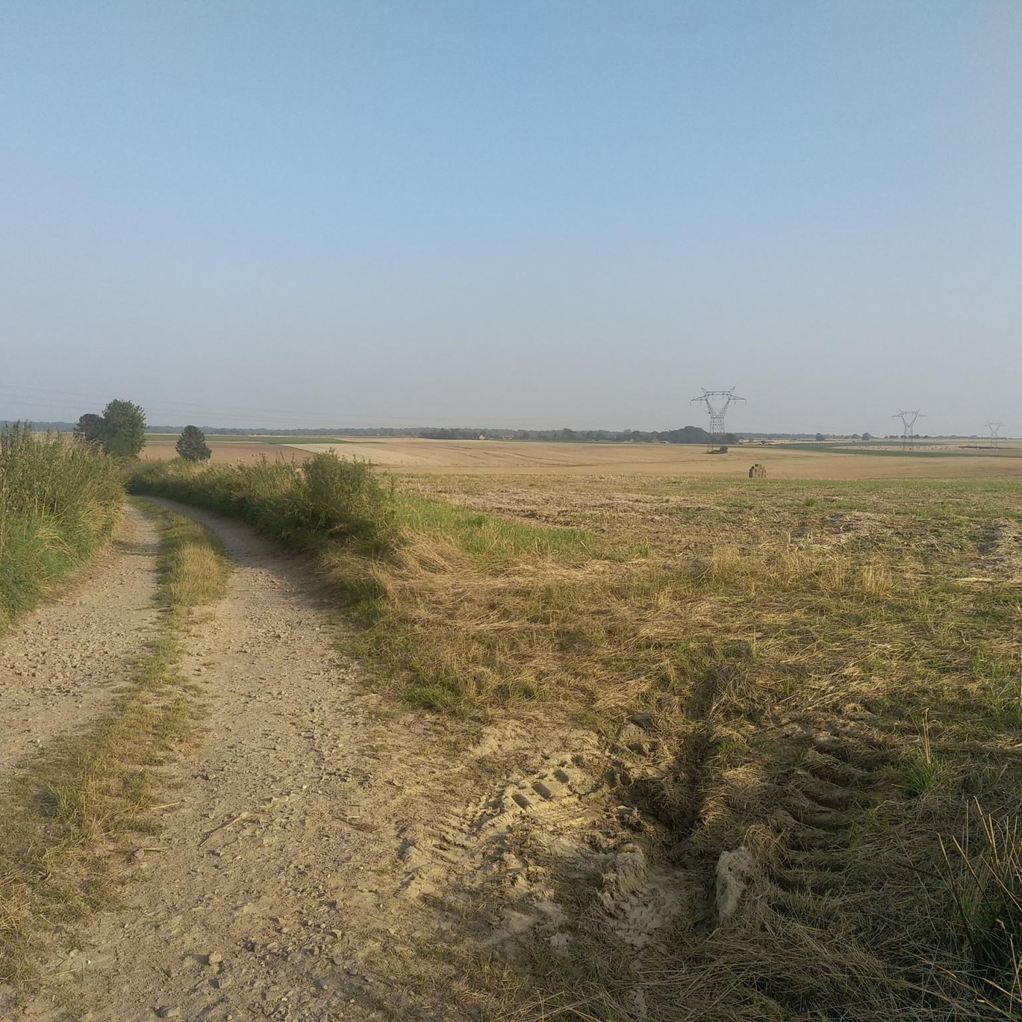
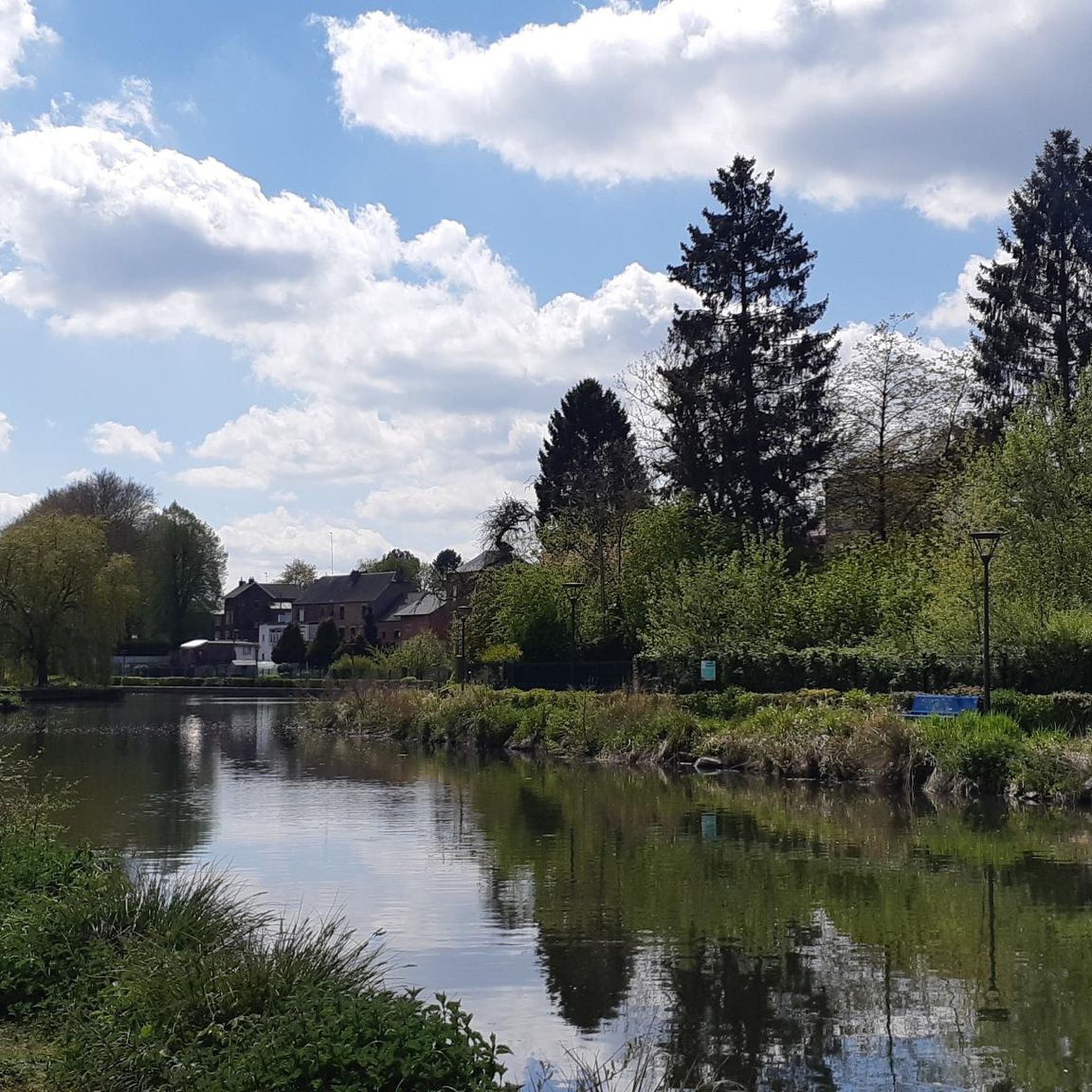

Tips from the Community


Bibouac area in a very quiet little village
3
0
Frequently Asked Questions
What is the general difficulty level of hiking trails around Limont-Fontaine?
The hiking trails around Limont-Fontaine primarily offer a mix of easy and moderate routes. Out of over 100 available tours, nearly half are classified as easy, and the majority are moderate. There is also a small number of more challenging routes for experienced hikers. This variety ensures options for most fitness levels.
What kind of terrain and elevation can I expect on hikes in this area?
The terrain around Limont-Fontaine is characterized by rolling countryside, with altitudes generally ranging from 137 to 184 meters. You'll find paths through dense woodlands, such as the Forêt de Mormal, and pleasant routes alongside the Sambre River and its canal. While some trails feature a considerable number of climbs and descents, like those found on the Chemin Planté forest road, many offer gentle gradients, making for varied and engaging walks.
Are there any notable landmarks or natural features to see while hiking near Limont-Fontaine?
Yes, the region offers a blend of natural beauty and historical sites. You can explore the vast Forêt de Mormal, one of the largest forests in the area, or walk alongside the Sambre River. For history enthusiasts, the Fort de Leveau, a significant World War I site, is accessible via some trails. The Chemin Planté forest road is also a beautiful route known for its good surface and varied topography.
Are there family-friendly hiking options in Limont-Fontaine?
Absolutely. Many of the trails around Limont-Fontaine are suitable for families. For instance, the Petite Cascade d'Éclaibes loop from Éclaibes is an easy 4.7-mile (7.6 km) path with gentle gradients, perfect for a leisurely family outing. The region's rolling countryside and well-maintained paths make it enjoyable for all ages.
Can I bring my dog on the hiking trails?
Generally, dogs are welcome on many of the hiking trails in the Limont-Fontaine area, especially in natural areas like the Forêt de Mormal. However, it's always recommended to keep them on a leash, especially in areas with wildlife or near agricultural land, and to check specific trail regulations if posted. Please ensure you clean up after your pet to maintain the natural environment for everyone.
Are there circular hiking routes available?
Yes, many of the hiking routes around Limont-Fontaine are designed as circular loops, offering convenient starting and ending points. Examples include the popular Church and Town Hall of Dourlers – View of the Bois de la Garde loop from Dourlers and the Church and Town Hall of Dourlers – Chapel of ND de Walcourt loop from Dourlers, allowing you to explore without retracing your steps.
What is the best time of year to go hiking in Limont-Fontaine?
Limont-Fontaine experiences a temperate oceanic climate, making hiking enjoyable for much of the year. Spring and autumn offer pleasant temperatures and beautiful scenery with blooming flowers or vibrant fall foliage. Summer is also suitable, though it can be warmer. Even in winter, the mild conditions can allow for crisp, refreshing walks, especially in the sheltered forest areas.
Where can I find parking for hiking trails?
While specific parking details for every trailhead are not always listed, many routes around Limont-Fontaine, particularly those starting from villages like Dourlers or Éclaibes, typically have designated parking areas near churches, town halls, or public spaces. It's advisable to check the route details on komoot for specific starting points, which often indicate nearby parking availability.
Are there places to eat or stay near the hiking trails?
The wider Hauts-de-France region, including areas around Limont-Fontaine, features 'cafés-rando' (walkers' cafes) that cater to hikers, offering places to rest and refuel. While specific establishments in Limont-Fontaine itself are not detailed here, nearby towns and villages will offer various options for dining and accommodation, from local eateries to guesthouses.
What do other hikers enjoy most about hiking in Limont-Fontaine?
The area is highly rated by the komoot community, with an average score of 4.6 stars from over 110 reviews. Hikers often praise the diverse landscapes, including the peaceful woodlands and scenic river paths, as well as the well-maintained trails that cater to various skill levels. The blend of natural beauty and historical interest also contributes to a highly enjoyable experience.
Can I reach hiking trails using public transport?
While Limont-Fontaine is a smaller commune, public transport options in the broader Val de Sambre region may connect to nearby towns. For specific trailheads, it's recommended to check local bus schedules or regional transport services that might serve villages close to your chosen starting point. Planning your route on komoot can help identify accessible trailheads.
Are there any long-distance hiking opportunities?
While the provided routes are generally day hikes, the region's extensive network of signed paths, totaling approximately 180,000 km across Hauts-de-France, suggests opportunities for linking shorter trails into longer excursions. The La Sambre Canal Cycle Path also offers a continuous route that can be incorporated into longer walking tours.
Most popular attractions around Limont-Fontaine

Get inspired with the komoot mobile app


Explore more
Browse the best Hikes in other regions.
