The best walks and hikes around Choisies
4.3
(260)
1,291
hikers
176
hikes
Hiking around Choisies offers a network of trails through a landscape characterized by gentle rolling hills and agricultural areas, interspersed with woodlands and small river valleys. The region provides diverse paths suitable for various hiking preferences. Elevation changes are generally moderate, making many routes accessible. The terrain primarily consists of well-maintained paths and country lanes.
Best hiking trails around Choisies
- The most popular hiking route is Moulin de Reumont loop from Solrinnes, a 6.8 miles (10.9 km) trail that…
Last updated: June 26, 2026
4.5
(14)
49
hikers
10.9km
02:59
160m
160m
Moderate hike. Good fitness required. Easily-accessible paths. Suitable for all skill levels.
24
hikers
Moderate hike. Good fitness required. Easily-accessible paths. Suitable for all skill levels.

Sign up for free
4.7
(3)
17
hikers
6.39km
01:42
70m
70m
Easy hike. Great for any fitness level. Easily-accessible paths. Suitable for all skill levels.
4.3
(4)
14
hikers
8.66km
02:21
120m
120m
Moderate hike. Good fitness required. Easily-accessible paths. Suitable for all skill levels.
5.0
(3)
15
hikers
8.98km
02:18
40m
40m
Moderate hike. Good fitness required. Easily-accessible paths. Suitable for all skill levels.
Get access to more routes and recommendations from other explorers.
Sign up for free
Already have an account?
Our route recommendations are based on thousands of hikes, rides, and runs completed by other people on komoot.
Start today with a free account
Your next adventure awaits.
Login or Signup



Tips from the Community

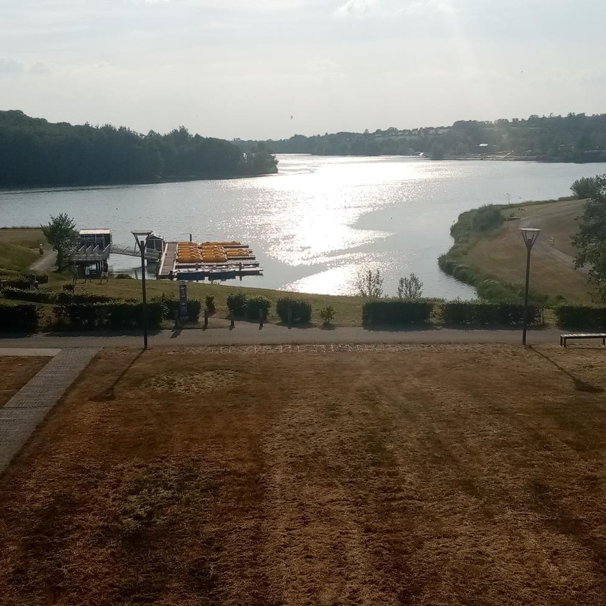
Lots of uncovered picnic areas. Very nice asphalted railway line cycle path EV3.
2
0
Lots of uncovered picnic areas. Very nice asphalted railway line cycle path EV3.
2
0

Very old mill which belonged to the 14th century Abbey of Hautmont.
1
0
The Maubeuge - Fourmies single-track railway line was inaugurated on August 29, 1885. The passenger service will be discontinued on the entire line on September 28, 1969 and freight traffic will close on April 3, 1973.
1
0
La Solre in Obrechies ran two windmills located opposite each other. They belonged to the Abbey of Saint Denis en Brocqueroie in Mons in Belgium.
1
0

Superb Mill. Inaccessible because private. Beware of Dog !
3
0
Frequently Asked Questions
How many hiking trails are available around Choisies?
There are over 170 hiking routes in the Choisies area, offering a wide variety of options for different skill levels and preferences. You'll find paths through gentle rolling hills, agricultural landscapes, and woodlands.
Are there easy hiking trails suitable for beginners in Choisies?
Yes, Choisies offers many easy trails perfect for beginners. With 81 routes classified as easy, you can enjoy gentle walks through the countryside. An example is the Le moulin – Obrechies old railway station loop from Obrechies, which is 4.2 miles (6.8 km) and takes about 1 hour 49 minutes.
What kind of terrain can I expect on hikes in Choisies?
The terrain around Choisies is characterized by gentle rolling hills, agricultural areas, and interspersed woodlands. Paths are generally well-maintained, consisting of country lanes and natural trails. Elevation changes are moderate, making most routes accessible.
Are there any circular walks in the Choisies area?
Yes, many of the trails around Choisies are circular, allowing you to start and end at the same point. For instance, the popular Moulin de Reumont loop from Solrinnes is a 6.8-mile (10.9 km) circular route through varied local countryside.
What do other hikers enjoy most about hiking in Choisies?
The komoot community highly rates the Choisies area, with an average score of 4.3 stars from over 220 reviews. Hikers often praise the region's diverse paths, the mix of open views and sheltered woodlands, and the well-maintained nature of the trails.
Are there any family-friendly hiking options in Choisies?
Many of the easy and moderate trails in Choisies are suitable for families, especially those with moderate elevation changes and well-maintained paths. Consider routes that are shorter in duration and distance, such as the 4.2-mile Le moulin – Obrechies old railway station loop from Obrechies.
What are some interesting landmarks or attractions to see near the hiking trails?
While hiking around Choisies, you can explore several points of interest. These include the historic Solre-le-Château Church, the Former Ferrière-la-Grande station, and the scenic Voie verte de l'Avesnois. These attractions offer a glimpse into the region's heritage and natural beauty.
Are there any challenging day hikes in Choisies?
While most trails in Choisies are easy to moderate, there are a few routes that offer a bit more challenge. There are 4 routes classified as difficult, providing longer distances or slightly more varied terrain for experienced hikers looking for a more strenuous day out.
Is it possible to access hiking trails in Choisies using public transport?
Public transport options to specific trailheads in Choisies can vary. It's advisable to check local bus schedules for routes connecting to villages like Obrechies or Solrinnes, which are common starting points for many hikes. Planning your route in advance will help confirm accessibility.
Where can I find parking for hiking trails in Choisies?
Parking is generally available in the villages and towns that serve as starting points for hikes, such as Obrechies or Dimechaux. Look for designated parking areas or roadside parking where permitted. Always ensure you park responsibly and do not obstruct local access.
What is the typical duration for hikes in Choisies?
Hikes in Choisies vary in length and duration. Many easy trails can be completed in under 2 hours, while moderate routes often take between 2 to 3 hours. For example, the Obrechies old railway station – The Lord's Mill loop from Obrechies typically takes about 2 hours 16 minutes.
Are there any scenic viewpoints along the hiking trails in Choisies?
The region's gentle rolling hills and agricultural landscapes offer numerous open views across the countryside. While there might not be dramatic mountain vistas, you'll find picturesque spots overlooking fields, woodlands, and small river valleys, especially on routes that traverse higher ground.
Most popular attractions around Choisies

Get inspired with the komoot mobile app


Explore more
Browse the best Hikes in other regions.
