The best running trails around Anhiers
4.5
(176)
9,395
runners
538
runs
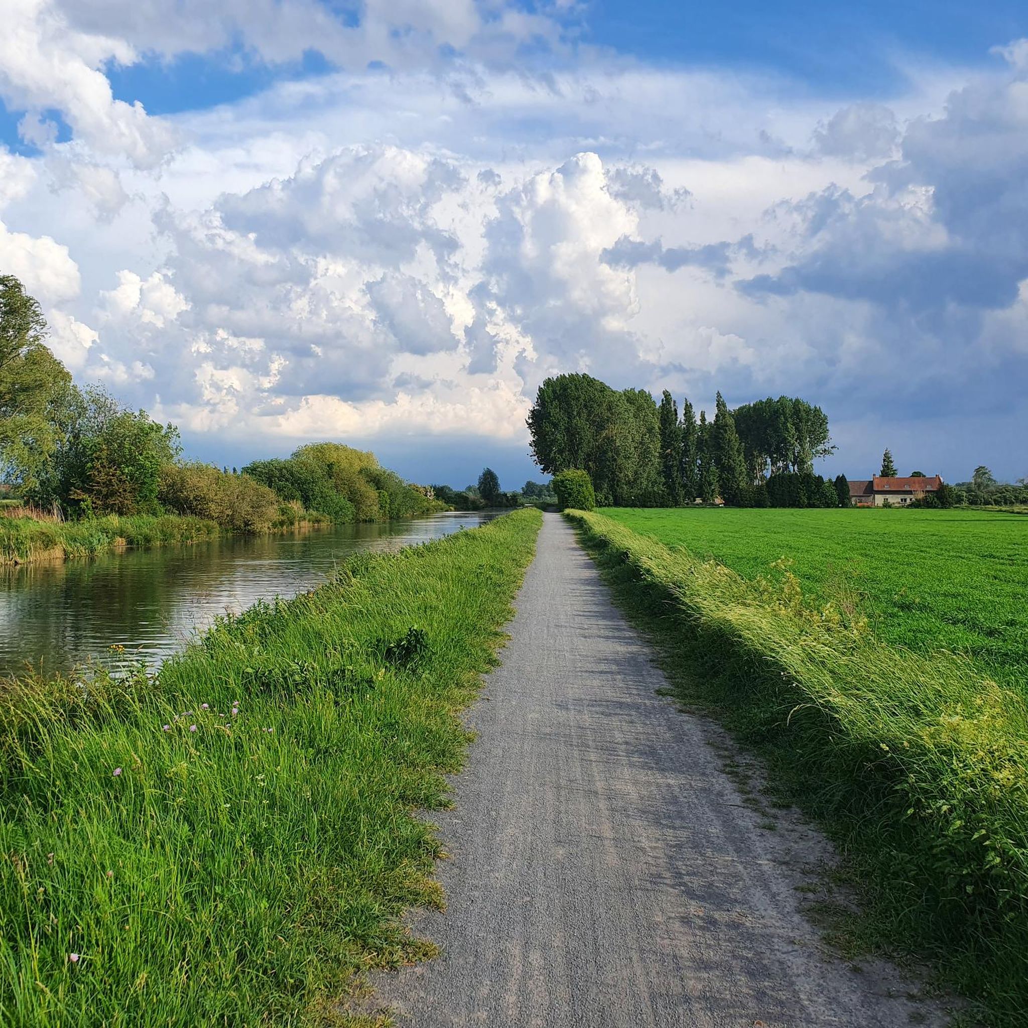
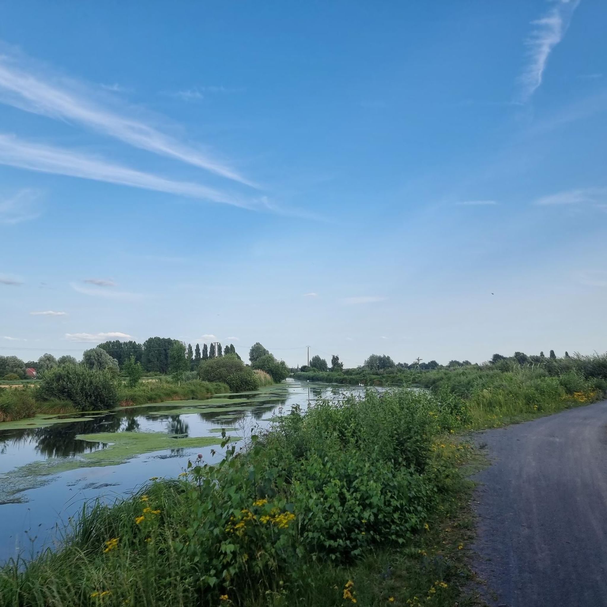
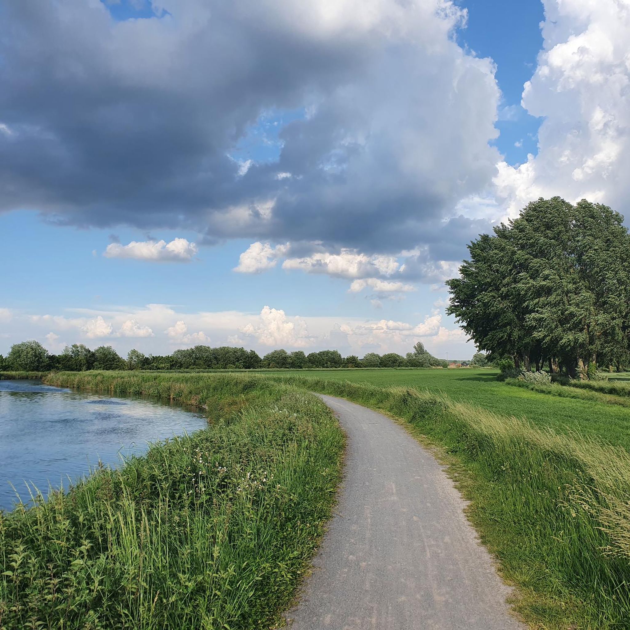
Jogging around Anhiers offers a diverse landscape for runners, situated within the Hauts-de-France region. The area is characterized by its proximity to the Scarpe-Escaut Regional Natural Park, featuring meandering rivers, lush forests, and extensive meadows. Runners will also find trails shaped by rewilded industrial heritage, including former mining sites and slag heaps that now host rich biodiversity. The terrain generally presents a mix of flat paths along riverbanks and through forests, with some routes offering gentle elevation changes.
Best jogging…
Last updated: June 26, 2026
21
runners
17.3km
01:50
70m
70m
Hard run. Very good fitness required. Mostly paved surfaces. Suitable for all skill levels.
16
runners
12.3km
01:16
30m
30m
Moderate run. Good fitness required. Mostly paved surfaces. Suitable for all skill levels.

Sign up for free
15
runners
9.82km
01:01
10m
10m
Moderate run. Good fitness required. Mostly paved surfaces. Suitable for all skill levels.
14
runners
8.91km
00:55
10m
10m
Moderate run. Good fitness required. Mostly paved surfaces. Suitable for all skill levels.
9
runners
5.26km
00:32
10m
10m
Moderate run. Good fitness required. Mostly paved surfaces. Suitable for all skill levels.
Get access to more routes and recommendations from other explorers.
Sign up for free
Already have an account?
Our route recommendations are based on thousands of hikes, rides, and runs completed by other people on komoot.
Start today with a free account
Your next adventure awaits.
Login or Signup

Tips from the Community

Great place to run on several routes or hike with the family
0
0

The Rieulay slag heap, also known as the Argales slag heap, is the largest in the region with its 140 hectares. Formerly an industrial site for the storage of waste rock from the surrounding mines, it has been converted into a protected natural area and a place for leisure.
0
0


Passage over a bridge then at water level. Cool to do.
2
0
an archaeological museum featuring artifacts and exhibits on the history of the Nord-Pas-de-Calais region.
0
0
The Jacques Vernier Park in Douai is a green space located in the heart of the city. It offers visitors an oasis of tranquility with its manicured gardens, winding paths and peaceful pond. This park is a place of relaxation appreciated by locals and tourists, offering activities such as walking, picnicking and nature contemplation.
0
0

Today, walk to Jacques Vernier Douai Park. The park is huge, with more than 40 hectares of greenery. There are trees, flowers, lawns, ponds... It's an ideal place to recharge your batteries and relax.
0
0

Magnificent setting for running and doing a bit of elevation gain!
0
0
Frequently Asked Questions
How many running routes are available around Anhiers?
There are over 500 running routes around Anhiers, offering a wide variety of options for different fitness levels and preferences. This includes approximately 60 easy routes, over 400 moderate routes, and around 45 more challenging trails.
What kind of terrain can I expect on the running trails near Anhiers?
The running trails around Anhiers offer a diverse landscape. You'll find a mix of flat paths along the Scarpe riverbanks and through lush forests, as well as routes with gentle elevation changes, particularly in areas shaped by rewilded industrial heritage like former mining sites and slag heaps. The Scarpe-Escaut Regional Natural Park and the Forest of Raismes-Saint-Amand-Wallers provide extensive networks of trails through varied environments.
Are there any running routes in Anhiers that are suitable for families?
Yes, many of the easier routes around Anhiers are suitable for families. The flat paths along the Scarpe river and certain sections within the Scarpe-Escaut Regional Natural Park offer tranquil and accessible options. Look for routes with minimal elevation gain and well-maintained surfaces for a pleasant family run.
Can I bring my dog on the running trails in Anhiers?
Many of the natural trails and forest paths around Anhiers are dog-friendly, especially within the extensive Forest of Raismes-Saint-Amand-Wallers and the Scarpe-Escaut Regional Natural Park. Always keep your dog on a leash, especially in protected areas or near wildlife, and be mindful of local regulations.
What are some scenic viewpoints or natural features to look out for on the running routes?
Anhiers and its surroundings offer several scenic spots. You can enjoy tranquil waterside views along the Scarpe river and at the Étang de Lallaing. The Forest of Raismes-Saint-Amand-Wallers features the historic Allée des Hêtres with its bicentennial beech trees, and the Mare à Goriaux, a large body of water and bird sanctuary. You might also encounter rewilded slag heaps, like the Leforest slag heap or Roost-Warendin Slag Heap 138, which often provide panoramic views of the landscape.
Are there any circular running routes around Anhiers?
Yes, many of the running routes around Anhiers are designed as circular loops, allowing you to start and finish at the same point. For example, the "Clair des Tourelles loop from Râches" is a popular circular option, offering a varied experience through the local countryside.
What do other runners enjoy most about jogging in Anhiers?
The running routes around Anhiers are highly rated by the komoot community, with an average score of 4.4 stars from over 150 reviews. Runners often praise the diverse landscapes, from serene river paths to extensive forest trails, and the unique blend of natural beauty with the region's rewilded industrial heritage. The variety of terrain and the peaceful atmosphere are frequently highlighted.
What is the best time of year to go running in Anhiers?
Anhiers offers good running conditions throughout much of the year. Spring and autumn provide pleasant temperatures and beautiful scenery with changing foliage. Summer is also suitable, especially for shaded forest trails. Even in winter, many paths remain accessible, offering a different, often tranquil, experience of the landscape.
Are there any historical or cultural landmarks along the running routes?
Yes, the region's rich mining heritage is evident along many routes. Within the Forest of Raismes-Saint-Amand-Wallers, you can explore mining heritage trails like the Sabatier site and the Miners' circuit. Anhiers itself, an former mining village, shows how nature has reclaimed industrial landscapes, with remnants like old concrete headframes visible. These add a unique historical dimension to your run.
Where can I find parking for the running trails in Anhiers?
Parking is generally available near popular trailheads and access points to the Scarpe-Escaut Regional Natural Park and the Forest of Raismes-Saint-Amand-Wallers. Specific parking information is often provided on individual route descriptions on komoot, or you can look for public parking areas in nearby villages like Râches or Douai, which serve as starting points for several routes.
Are there any longer, more challenging running routes for experienced runners?
Yes, for experienced runners seeking a greater challenge, there are longer and more demanding routes. An example is the "Swivel bridge – Friendly meeting loop from Anhiers," which is a difficult 26.3 km (16.3 miles) trail with over 100 meters of elevation gain, offering a substantial workout through varied terrain.
Can I access the running trails using public transport?
While direct access to all trailheads by public transport might be limited, you can often reach nearby towns like Douai or Râches by public transport. From these points, many running routes are accessible, or you can connect to the trail network. It's advisable to check local bus schedules and connections to plan your journey to specific starting points.
Most popular attractions around Anhiers

Get inspired with the komoot mobile app


Explore more
Browse the best Running Trails & Routes in other regions.
