The best running trails around Bruille-Saint-Amand
4.5
(119)
6,932
runners
15
runs
Jogging around Bruille-Saint-Amand offers diverse natural landscapes, characterized by extensive forested regions and tranquil ponds. The area features varied terrain, from flat paths within the Raismes-Saint-Amand-Wallers national forest to more challenging inclines, providing a refreshing experience for runners. Situated within or near the Scarpe-Escaut Regional Nature Park, the region ensures a protected natural environment with scenic routes.
Best jogging routes around Bruille-Saint-Amand
- The most popular jogging route is Drève d'Escaupont loop from Odomez, a 5.3 miles (8.6 km) trail…
Last updated: June 26, 2026
11
runners
8.59km
00:55
40m
40m
Moderate run. Good fitness required. Mostly paved surfaces. Suitable for all skill levels.
8
runners
11.4km
01:15
60m
60m
Moderate run. Good fitness required. Mostly paved surfaces. Suitable for all skill levels.

Sign up for free
9
runners
19.1km
02:08
100m
100m
Hard run. Very good fitness required. Mostly paved surfaces. Suitable for all skill levels.
8
runners
11.7km
01:17
60m
60m
Moderate run. Good fitness required. Mostly paved surfaces. Suitable for all skill levels.
4
runners
9.53km
01:00
30m
30m
Moderate run. Good fitness required. Mostly paved surfaces. Suitable for all skill levels.
Get access to more routes and recommendations from other explorers.
Sign up for free
Already have an account?
Our route recommendations are based on thousands of hikes, rides, and runs completed by other people on komoot.
Start today with a free account
Your next adventure awaits.
Login or Signup
Tips from the Community

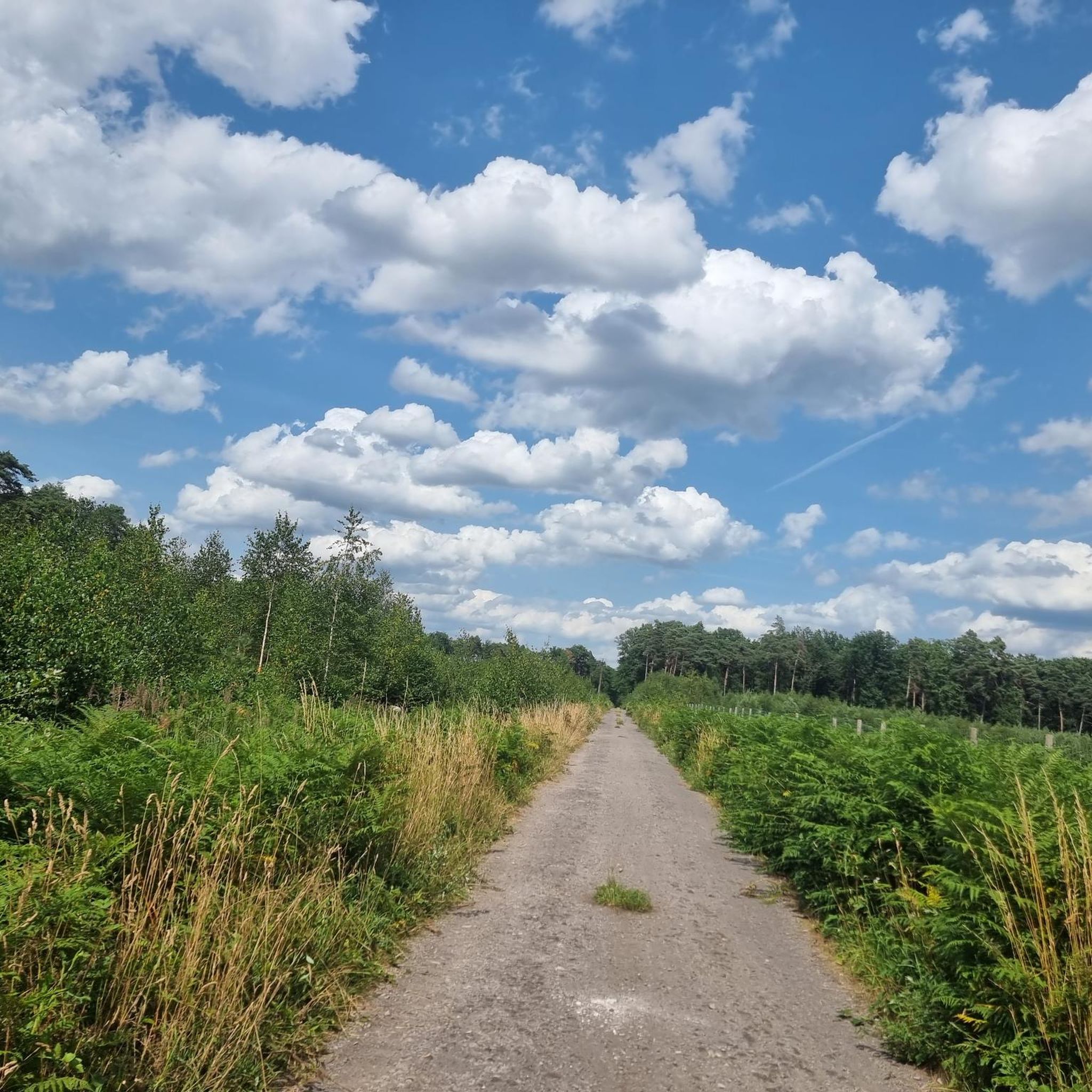
Endless gravel and you won't meet anyone
1
0

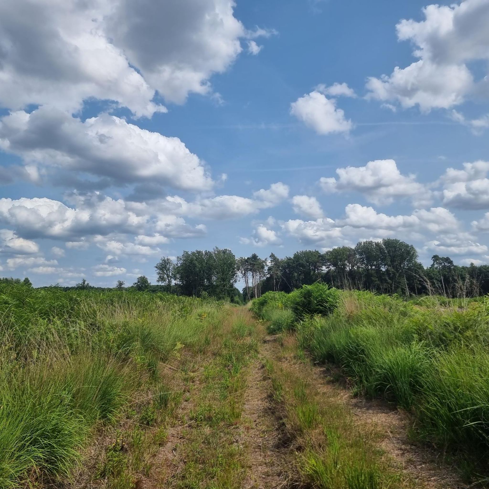
Beautiful path through the forest of Raismes-Saint-Amand-Wallers not far from the slag heaps.
1
0

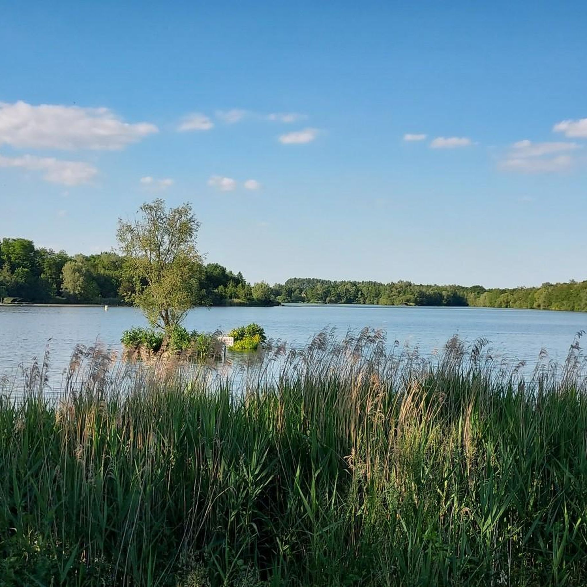
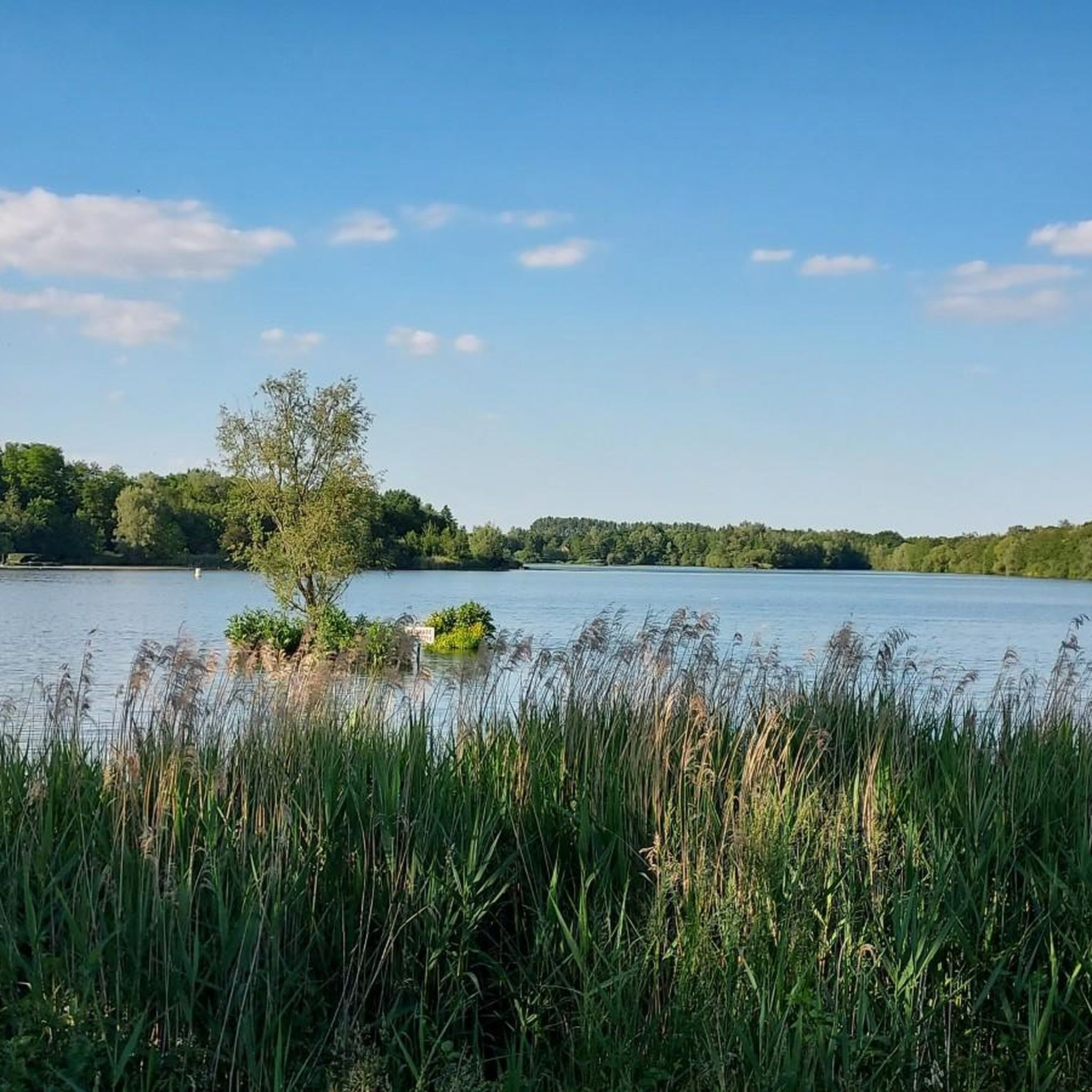
As you walk through the Raismes-Saint-Amand-Wallers Forest, you will come across many small, unnamed ponds that reflect the trees and the sky in winter and are covered in algae in summer.
1
0

Beautiful route in summer and panoramic view and quite a bit of elevation gain
1
1


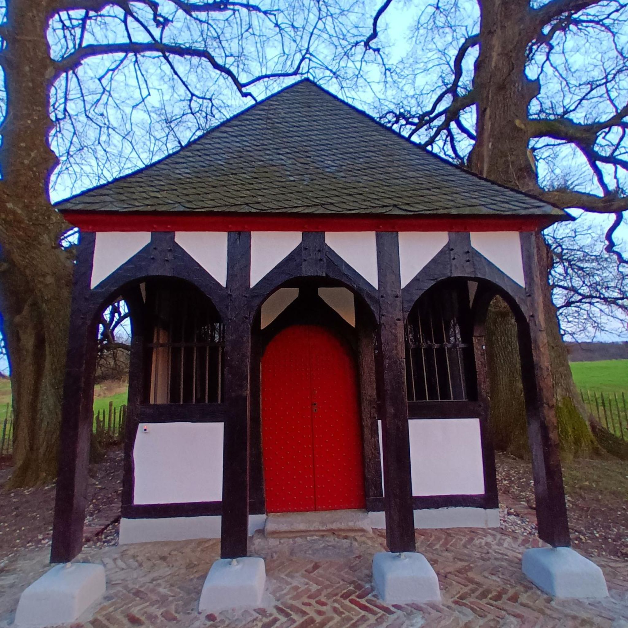
Very mobile and nice these forest houses at each corner of the forest
0
0
Super walk in the forest very rolling and few people. Accessible to everyone
0
0

Long straight road in the middle of the woods
1
0
Frequently Asked Questions
How many running routes are available in Bruille-Saint-Amand?
There are over 15 dedicated running routes around Bruille-Saint-Amand, offering diverse landscapes for your run. Most of these are of moderate difficulty, with some more challenging options available.
What kind of terrain can I expect on the running trails around Bruille-Saint-Amand?
The region offers a variety of terrain, from flat paths within extensive forested areas like the Raismes-Saint-Amand-Wallers national forest to more challenging inclines and rolling hills. You'll also find tranquil lakeside walks and routes passing by ponds, providing a refreshing experience.
Are there running routes suitable for beginners in Bruille-Saint-Amand?
While most routes are rated as moderate, many offer relatively gentle jogs through the countryside. For instance, the Drève d'Escaupont loop from Odomez is a moderate 5.3-mile trail that provides a pleasant path for those starting out or looking for a less strenuous run.
What do other runners say about the trails in Bruille-Saint-Amand?
The running routes in Bruille-Saint-Amand are highly rated by the komoot community, with an average score of 4.5 stars from over 100 reviews. Runners often praise the varied terrain, the peaceful forested areas, and the scenic views found along the trails.
Can I find running routes that pass by water features like ponds or lakes?
Yes, several routes incorporate water features. For example, the View from Terril Sabatier Nord – Peaceful little pond loop from Odomez leads through varied landscapes including ponds. You can also explore routes near natural highlights such as Goriaux Pond or Étang Chabaud-Latour, which offer picturesque settings.
Are there any scenic running trails with good views in the area?
Absolutely. The region boasts diverse landscapes that offer scenic views. Routes that pass by the slag heap near Goriaux Pond provide panoramic vistas. Additionally, the extensive forests and tranquil ponds create beautiful backdrops for your run, especially within the Scarpe-Escaut Regional Nature Park.
Are the running trails in Bruille-Saint-Amand suitable for families?
Many of the routes offer relatively flat and well-maintained paths through forests and along ponds, which can be suitable for families. The varied terrain allows for both gentle jogs and more challenging runs, so you can choose a route that matches your family's fitness level.
Can I bring my dog on the running routes in Bruille-Saint-Amand?
The natural environment of Bruille-Saint-Amand, with its extensive forests and open spaces, is generally welcoming for dogs. However, it's always recommended to keep your dog on a leash, especially in protected areas like the Scarpe-Escaut Regional Nature Park, and to check local regulations for specific trails.
What interesting landmarks or natural monuments can I see while running?
Beyond the natural beauty, you can incorporate historical and natural landmarks into your runs. Highlights include the picturesque Goriaux Pond, a national biological reserve, and the unique Terril de Condé-Macou. The area also features historical sites like the Château de Bruille and ancient chapels that can be points of interest on longer routes.
Are there any circular running routes in Bruille-Saint-Amand?
Yes, many of the running routes in Bruille-Saint-Amand are designed as loops, allowing you to start and finish at the same point. Examples include the Suchemont Forest House loop from Odomez and the Suchemont Forest House loop from Bruille-Saint-Amand, which offer convenient circular paths through forested areas.
Is there parking available near the running trails?
Given the rural nature of the area and the popularity of outdoor activities, parking is generally available near trailheads, especially in and around villages like Odomez and Bruille-Saint-Amand, which serve as common starting points for many routes. Specific parking information can often be found on individual route pages.
What is the best season for running in Bruille-Saint-Amand?
Bruille-Saint-Amand offers a pleasant running experience throughout much of the year. Spring and autumn provide mild temperatures and beautiful scenery with changing foliage. Summer is also enjoyable, especially in the shaded forest trails. Even winter running can be picturesque, though paths might be muddy or icy, so appropriate gear is essential.
Most popular routes around Bruille-Saint-Amand
Most popular attractions around Bruille-Saint-Amand

Get inspired with the komoot mobile app


Explore more
Browse the best Running Trails & Routes in other regions.
