The best walks and hikes around Rumegies
4.3
(1149)
5,062
hikers
333
hikes
Hiking around Rumegies offers varied terrain, characterized by open fields, wooded sections, and proximity to the Parc Naturel des Plaines de l'Escaut. The landscape includes features like the Daffodil Fields of Howardries, providing scenic beauty. Trails often consist of gravel and dirt paths, with some paved sections, offering diverse walking surfaces. The region provides a network of routes suitable for different fitness levels.
Best hiking trails around Rumegies
- The most popular hiking route is Hiking loop from Lecelles, a…
Last updated: October 12, 2026
4.2
(14)
110
hikers
9.63km
02:27
30m
30m
Moderate hike. Good fitness required. Easily-accessible paths. Suitable for all skill levels.
4.1
(10)
41
hikers
15.3km
03:53
40m
40m
Moderate hike. Good fitness required. Easily-accessible paths. Suitable for all skill levels.

4.5
(13)
30
hikers
Moderate hike. Good fitness required. Easily-accessible paths. Suitable for all skill levels.
4.0
(2)
8
hikers
Moderate hike. Good fitness required. Easily-accessible paths. Suitable for all skill levels.
4.0
(4)
13
hikers
6.10km
01:33
10m
10m
Easy hike. Great for any fitness level. Easily-accessible paths. Suitable for all skill levels.
Get access to more routes and recommendations from other explorers.
Already have an account?
Our route recommendations are based on thousands of hikes, rides, and runs completed by other people on komoot.
Start today with a free account
Your next adventure awaits.
Tips from the Community


A very beautiful passage between the fields of daffodils.
1
0

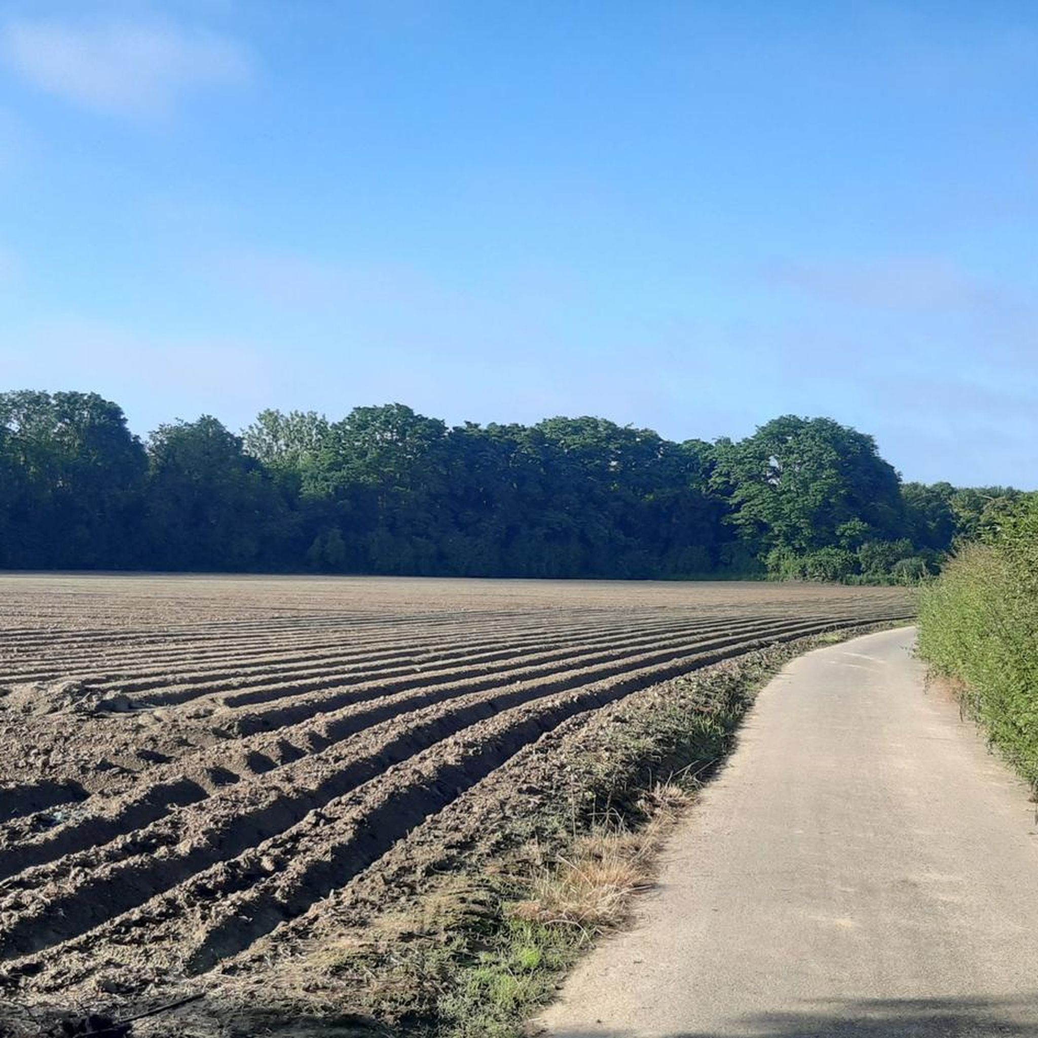
gravel a little bumpy, but rolling in the "dry" season
1
0

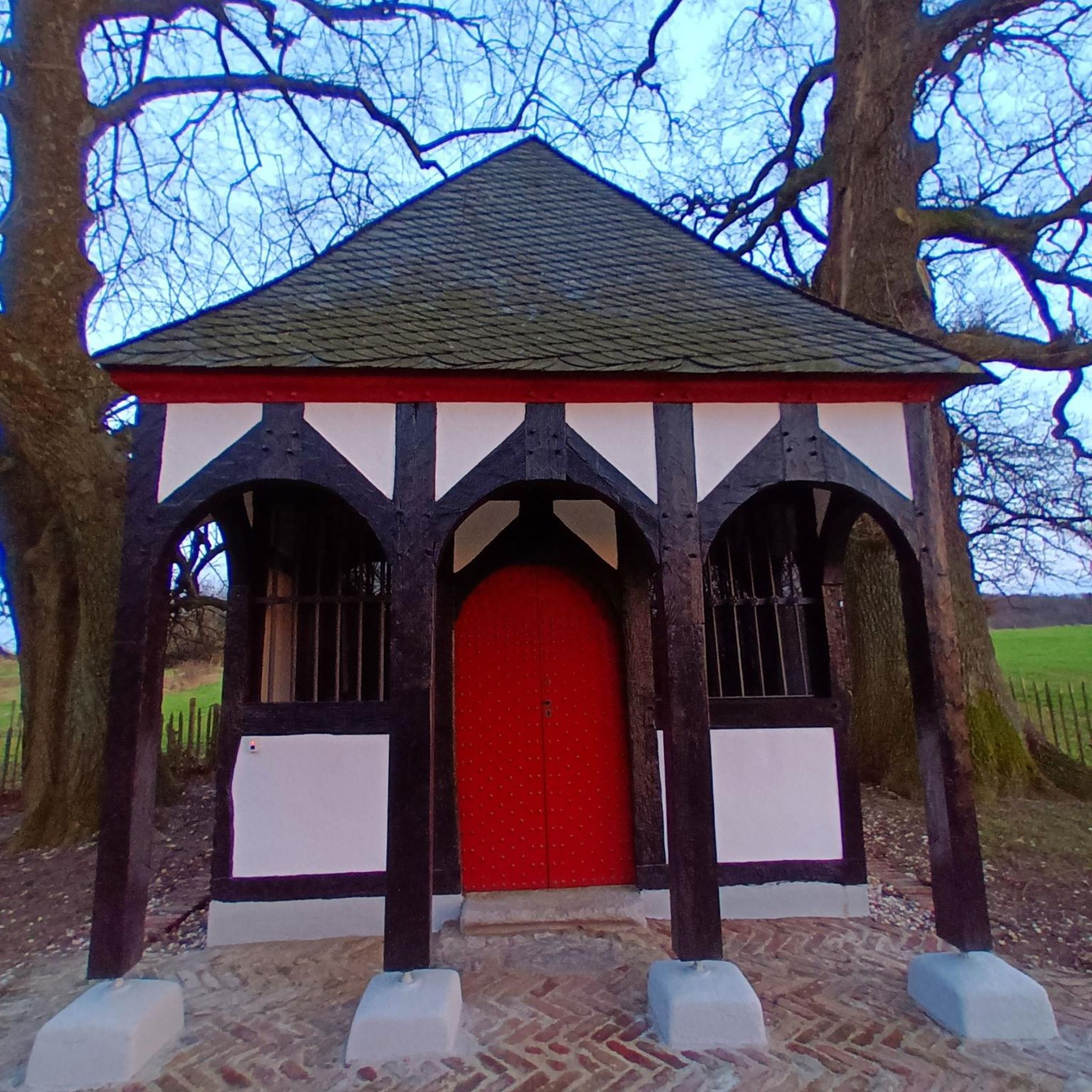
The customs house in Rumegies is a historic building that served as a customs post at the border between France and Belgium. This small house was used by customs officers to control the border crossings and stop smugglers. It is a reminder of the time when border controls were a daily reality in Europe.
1
1

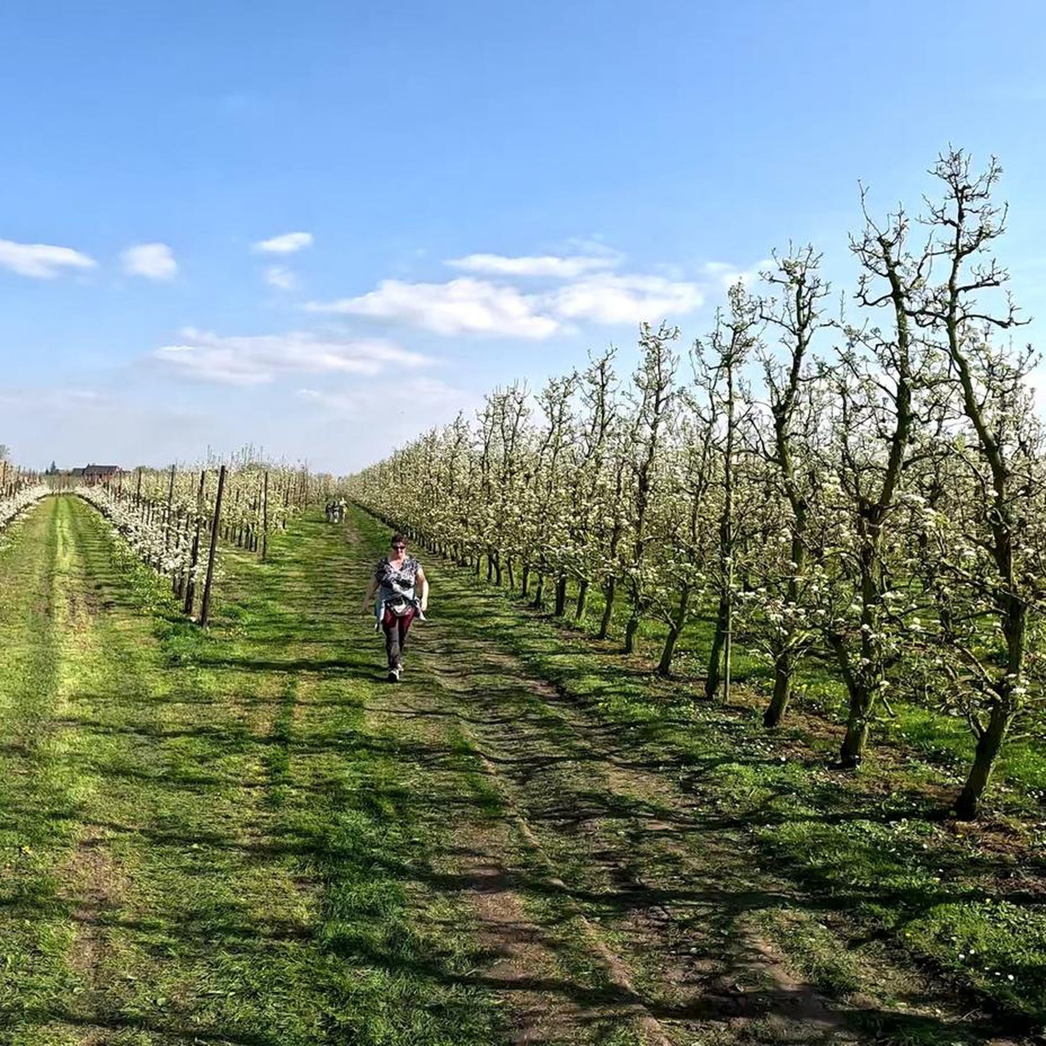
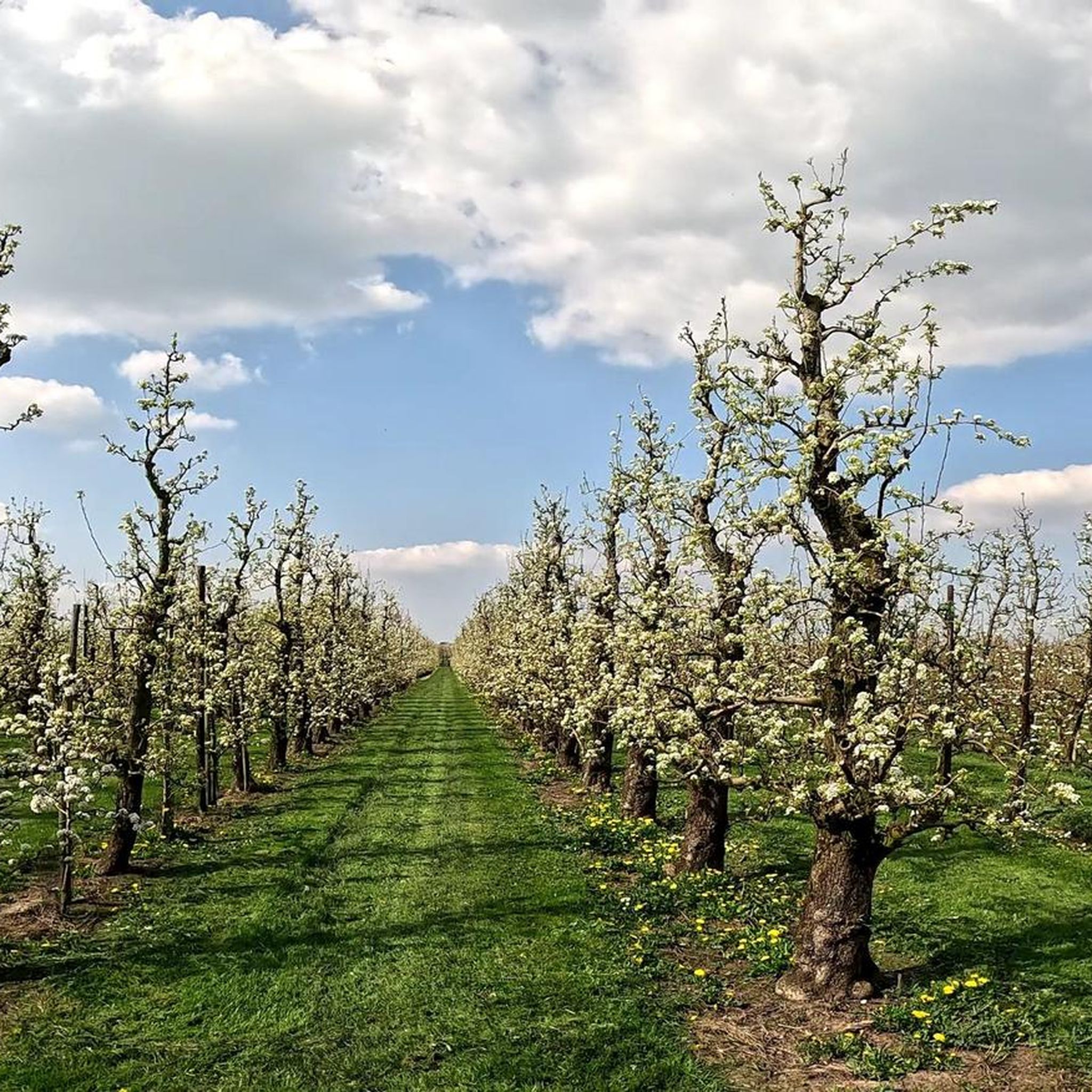
A path passes through this pretty orchard, offering the opportunity to take a pleasant walk on the Franco-Belgian border.
3
0

Border village France/Hainault with reminder signs of the smuggling route(s) between the 2 world wars (formerly Staminet aux abord du pont Louvet).
1
0


Frequently Asked Questions
How many hiking trails are there around Rumegies?
Rumegies offers a wide selection of hiking opportunities, with over 320 routes available. This includes more than 150 easy trails and over 150 moderate options, ensuring there's something for every fitness level.
Are there easy or beginner-friendly hikes in Rumegies?
Yes, Rumegies is very welcoming for beginners and those looking for easier walks. There are over 150 easy routes, often characterized by gentle terrain through open fields and wooded sections. These trails are perfect for a relaxed outing.
What are the typical durations for hikes in the Rumegies area?
Hikes around Rumegies vary in length, but many popular routes can be completed within a few hours. For example, the Daffodil Fields of Howardries – Brunehaut Brewery loop from Rumegies is about 6.2 miles (10.1 km) and takes approximately 2 hours 35 minutes. Longer routes, like the Hiking loop from Lecelles, can take closer to 4 hours.
Are there any circular hiking routes in Rumegies?
Many of the trails around Rumegies are designed as convenient loops. You'll find several excellent circular options, such as the Gravel Path Between Fields – Daffodil Fields of Howardries loop from Ponchau, which offers a scenic 8-mile (12.9 km) walk through the famous daffodil fields.
What kind of scenery can I expect on hikes near Rumegies?
The landscape around Rumegies is diverse, featuring a mix of open agricultural fields, tranquil wooded sections, and areas within the Parc Naturel des Plaines de l'Escaut. A notable highlight is the Daffodil Fields of Howardries, which are particularly stunning in spring. Trails often consist of gravel and dirt paths, providing a natural walking experience.
Are there any interesting landmarks or attractions along the trails?
Yes, the region offers several points of interest. Beyond the natural beauty of the Daffodil Fields, you might encounter historical elements like the Trouée d'Arenberg, a famous cobbled section. Some routes, like the Daffodil Fields of Howardries – Brunehaut Brewery loop from Rumegies, even pass by local establishments such as the Brunehaut Brewery.
Are the hiking trails around Rumegies suitable for families with children?
Many of the easier and moderate trails in Rumegies are well-suited for families. The varied terrain, with open fields and wooded areas, provides an engaging environment for children. We recommend choosing shorter, less challenging routes, especially those designated as 'easy' in komoot, for a pleasant family outing.
Can I bring my dog on the hiking trails in Rumegies?
Generally, dogs are welcome on most hiking trails around Rumegies, provided they are kept on a leash and you clean up after them. The open fields and natural paths offer a great environment for walks with your canine companion. Always check local signage for any specific restrictions in certain areas or nature reserves.
What is the best time of year to go hiking in Rumegies?
Spring is an exceptionally beautiful time to hike in Rumegies, especially if you wish to see the famous Daffodil Fields of Howardries in full bloom. However, the region offers pleasant hiking conditions throughout spring, summer, and autumn, with varied scenery to enjoy in each season. Winters can be chilly, but clear days still offer good walking opportunities.
What do other hikers enjoy most about the trails in Rumegies?
The trails in Rumegies are highly rated by the komoot community, with an average score of 4.3 stars from over 800 reviews. Hikers often praise the peaceful atmosphere, the well-maintained paths through varied landscapes of fields and woods, and the scenic beauty of areas like the Daffodil Fields. The accessibility of routes for different skill levels is also frequently highlighted.
Are there less crowded hiking options around Rumegies?
While popular routes can see more visitors, Rumegies has over 320 trails, offering plenty of opportunities to find quieter paths. To avoid crowds, consider exploring some of the less-trafficked easy or moderate routes, or plan your hikes during off-peak hours or weekdays. The Hiking loop from Rongy, for instance, offers a lovely experience slightly further afield.
Is there parking available at the trailheads in Rumegies?
Parking is generally available near the starting points of many trails in and around Rumegies, particularly in the villages and hamlets. While specific parking details vary by trailhead, you can often find designated parking areas or roadside spots suitable for hikers. It's always a good idea to check the route details on komoot for specific parking recommendations if available.
How can I reach the hiking trails in Rumegies using public transport?
While Rumegies is primarily accessed by car, some local bus services may connect the villages in the area. Public transport options can be limited, so it's advisable to check the latest schedules and routes with local transport providers if you plan to rely on buses to reach specific trailheads. Many hikers prefer to drive to the starting points for greater flexibility.
Most popular attractions around Rumegies

Get inspired with the komoot mobile app


Explore more
Browse the best Hikes in other regions.
