The best road cycling routes around Sainghin-En-Mélantois
4.4
(1783)
27,719
riders
20
rides
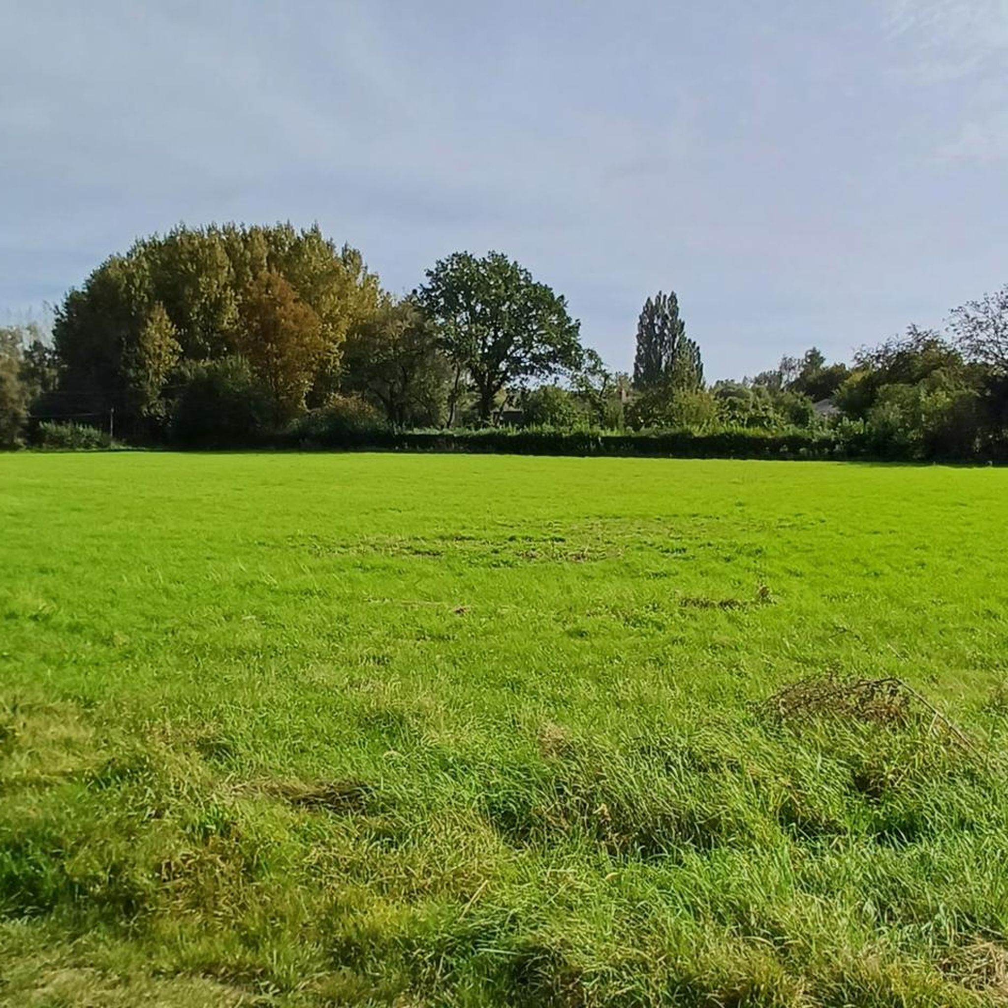
Road cycling routes around Sainghin-En-Mélantois traverse the Mélantois, a rural chalky plateau characterized by extensive arable lands, prairies, and forests. The landscape is mostly flat or gently undulating, with the Mont de Sainghin reaching 54 meters as the highest point. The Marque River flows through the area, offering dedicated cycling paths along its banks.
Best road cycling routes around Sainghin-En-Mélantois
- The most popular road cycling route is Climb of Mons-en-Pévèle – Phalempin State Forest loop from Station d'essais techniques des 4 Cantons, a 59.1 miles (95.1 km) trail that takes 3 hours 57 minutes to complete. This route features varied terrain, including climbs and forest sections.
- Another top favourite among local road cyclists is Les Plachettes Climb – Bourliquet Climb loop from Station d'essais techniques des 4 Cantons, a difficult 95.9 miles (154.4 km) path. It offers a challenging ride through the region's undulating landscape.
- Local road cyclists also love the Paris-Roubaix Monument – Secteur Pavés Duclos-Lassalle loop from Station d'essais techniques des 4 Cantons, a 24.8 miles (39.9 km) trail leading through historic cycling landmarks and rural paths, often completed in about 1 hour 43 minutes.
- Road cycling around Sainghin-En-Mélantois is defined by its rural Mélantois plateau, the banks of the Marque River, and the Bois de la Noyelle. The network offers options for easy, moderate, and difficult ability levels.
- The routes in Sainghin-En-Mélantois are highly rated by the komoot community with an average score of 4.3 stars from over 700 reviews. More than 12,000 road cyclists have used komoot to explore Sainghin-En-Mélantois's varied terrain.
Last updated: September 4, 2026
68
riders
Moderate road ride. Good fitness required. Mostly well-paved surfaces and easy to ride.
4.8
(6)
53
riders
Easy road ride. Great for any fitness level. Mostly well-paved surfaces and easy to ride.

Sign up for free
4.0
(1)
30
riders
Hard road ride. Very good fitness required. Some segments of this route may be unpaved and difficult to ride.
21
riders
Easy road ride. Great for any fitness level. Mostly well-paved surfaces and easy to ride.
3.8
(4)
24
riders
19.6km
00:48
50m
50m
Easy road ride. Great for any fitness level. Mostly well-paved surfaces and easy to ride.
Get access to more routes and recommendations from other explorers.
Sign up for free
Already have an account?
Our route recommendations are based on thousands of hikes, rides, and runs completed by other people on komoot.
Start today with a free account
Your next adventure awaits.
Login or Signup


Tips from the Community


"The Wall of Geraardsbergen"—who doesn't know it? It's a true classic in Flemish cycling. This iconic climb was a popular event in the Tour of Flanders for many years. A stretch of about 1100 meters takes you to the summit of the Oudenberg, at an altitude of 110 meters. From here, you have a magnificent view of the region and the famous chapel.
1
1

O Wall, you proud stone back, with cobblestones crooked and steep and unyielding, where many a cyclist climbs with toil, and every step belies the will. You wind narrowly through green splendor, a climb that has brought heroes, where sweat and hope embrace, and legs tremble without shame. No mountain so low, no wall so high, as you that arched through the centuries, where Flanders cheers on every side, and wind embraces the cyclist's heart. You are not a road, you are a battle, a victory, painful and liberating, a test of courage, a torture, but also a song, a lifelong one. Whoever climbs you with firm understanding, feels fire and flame in heart and hand, for on your summit, so proud, so clear, proudly waits, year after year. O Wall, you are a living song, that sees through every cycling soul — an ode to the power of man and wheel, you are a wall, but also a soul.
7
1

Mourcourt is a Belgian village located on the slopes of Mont-Saint-Aubert, a prominent local hill, offering scenic walks. While "St Aubert" generally refers to Saint Aubert of Avranches, founder of Mont Saint-Michel, in this context, it primarily designates the hill near Mourcourt, forming a key geographical link between the two https://www.mycard-statement.com
1
0

In the beginning this stoke runs ugly. Normally a "climb" of nothing but after hours on the bike it starts to weigh.
1
0

Interesting section to pass, medium difficulty.
1
0
A difficult section to pass, but hey, when you love it, you don't count.
1
0
Pavement of Calvary! What a fitting name for this section of northern hell.
0
0
Frequently Asked Questions
What kind of terrain can I expect on road cycling routes around Sainghin-En-Mélantois?
The region is characterized by the rural Mélantois plateau, offering a landscape that is mostly flat or gently undulating. You'll find extensive arable lands, prairies, and forests. While generally modest, the Mont de Sainghin provides a gentle elevation at 54 meters. The banks of the Marque River also offer dedicated cycling paths.
Are there road cycling routes suitable for beginners or families in Sainghin-En-Mélantois?
Yes, Sainghin-En-Mélantois offers several routes suitable for beginners and families. For instance, the Paris-Roubaix Monument – Secteur Pavés Duclos-Lassalle loop from Station d'essais techniques des 4 Cantons is an easy 24.8-mile (39.9 km) trail. Another easy option is the Bouvines – bouvines church loop from Sainghin-en-Mélantois, which is just over 8 miles (13.3 km) long.
What are the more challenging road cycling routes in the area?
For those seeking a challenge, the Les Plachettes Climb – Bourliquet Climb loop from Station d'essais techniques des 4 Cantons is a difficult 95.9-mile (154.4 km) path with significant elevation gain, offering a demanding ride through the region's undulating landscape.
Are there any circular road cycling routes in Sainghin-En-Mélantois?
Many of the road cycling routes in Sainghin-En-Mélantois are designed as loops, allowing you to start and finish at the same point. Examples include the Climb of Mons-en-Pévèle – Phalempin State Forest loop from Station d'essais techniques des 4 Cantons and the Beautiful gravel – Anstaing loop from Station d'essais techniques des 4 Cantons.
What can I see along the road cycling routes in terms of natural features or landmarks?
The routes often traverse the rural Mélantois plateau, offering views of arable lands, prairies, and forests. You can also cycle along the banks of the Marque River. The Bois de la Noyelle, a 0.27 km² wood with a historical feudal motte and remnants of moats, is another notable natural space. For specific landmarks, you might pass by the Carrefour de l'Arbre cobbled sector, famous from Paris-Roubaix.
What do other road cyclists say about the routes in Sainghin-En-Mélantois?
The road cycling routes in Sainghin-En-Mélantois are highly rated by the komoot community, with an average score of 4.3 stars from over 700 reviews. More than 12,000 road cyclists have used komoot to explore the varied terrain, often praising the preserved rural landscape and accessible paths.
Are there any specific points of interest or attractions near the cycling routes?
Beyond the natural beauty, you can find several points of interest. The Roubaix Velodrome is a significant cycling landmark nearby. For historical sites, consider the Old Stock Exchange of Lille or the General de Gaulle Square in Lille. Natural attractions include the Heron Lake and Spanish Lake.
What is the best time of year for road biking in Sainghin-En-Mélantois?
The region's rural character and open plains make it enjoyable for road cycling across multiple seasons. Spring and autumn generally offer pleasant temperatures and beautiful scenery. While winter cycling is possible, conditions may vary, so checking local weather is always recommended.
Are there options for longer road cycling tours in the area?
Yes, there are routes designed for longer distances. The Les Plachettes Climb – Bourliquet Climb loop from Station d'essais techniques des 4 Cantons, for example, stretches over 95 miles (154.4 km), providing an extensive ride for endurance cyclists.
Where can I find information about the Bois de la Noyelle, a natural area mentioned?
The Bois de la Noyelle is a significant natural space in the region, featuring a historical feudal motte and diverse flora and fauna. You can find more information about this wood and its offerings on the local tourism website: tourisme-en-hautsdefrance.com.
What is the typical elevation gain on road cycling routes in Sainghin-En-Mélantois?
Given the region's mostly flat or gently undulating topography, many routes feature moderate elevation gains. For example, the Climb of Mons-en-Pévèle – Phalempin State Forest loop from Station d'essais techniques des 4 Cantons has an elevation gain of around 450 meters over its 59-mile distance. More challenging routes, like the Les Plachettes Climb – Bourliquet Climb loop, can have over 900 meters of ascent.
Most popular routes around Sainghin-En-Mélantois
Most popular attractions around Sainghin-En-Mélantois

Get inspired with the komoot mobile app


Explore more
Browse the best Road cycling routes in other regions.
