The best road cycling routes around Chéreng
4.4
(1043)
21,028
riders
488
rides
Road cycling routes around Chéreng are characterized by generally flat to gently rolling terrain, offering accessible paths for various skill levels. The region features a network of roads that traverse open agricultural areas and connect small towns. Elevation changes are typically gradual, with some routes including minor hills rather than significant climbs. This landscape provides opportunities for sustained cycling without extreme gradients.
Best road cycling routes around Chéreng
- The most popular road cycling route is Pont des Trous loop from…
Last updated: October 12, 2026
4.9
(11)
209
riders
67.6km
03:15
390m
390m
Moderate road ride. Good fitness required. Some segments of this route may be unpaved and difficult to ride.
2.7
(10)
49
riders
45.6km
01:52
120m
120m
Easy road ride. Great for any fitness level. Mostly well-paved surfaces and easy to ride.

64
riders
104km
04:59
770m
770m
Moderate road ride. Good fitness required. Some segments of this route may be unpaved and difficult to ride.
3.5
(2)
57
riders
75.1km
03:19
290m
290m
Moderate road ride. Good fitness required. Mostly well-paved surfaces and easy to ride.
54
riders
91.5km
04:01
430m
430m
Moderate road ride. Good fitness required. Some segments of this route may be unpaved and difficult to ride.
Get access to more routes and recommendations from other explorers.
Already have an account?
Our route recommendations are based on thousands of hikes, rides, and runs completed by other people on komoot.
Start today with a free account
Your next adventure awaits.

Tips from the Community

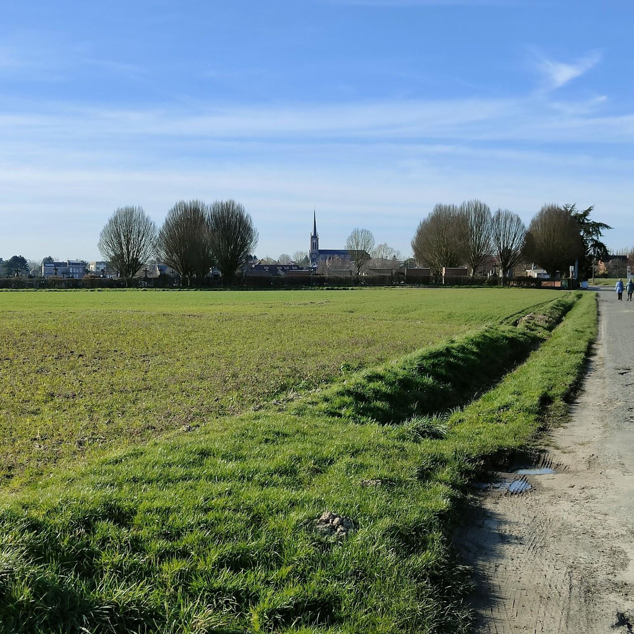
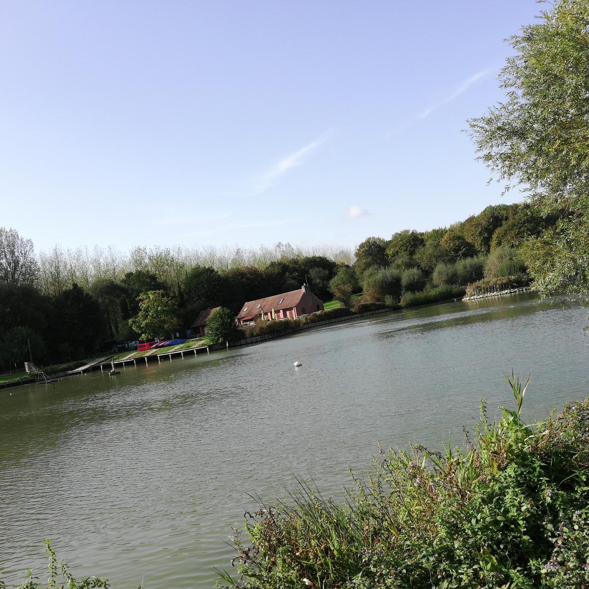
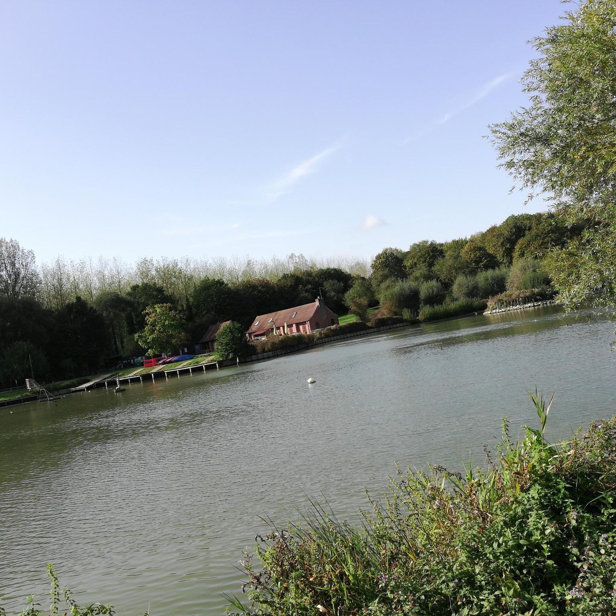
Very beautiful place with a magnificent view 🤩
0
0

quiet and beautiful surroundings
0
0
Cathedral on the market square Tournai
1
1

Due to a breach in the wall near Ellestraat (approximately halfway along the canal), the canal completely emptied in 1959. The damage was later linked to the digging work of muskrats. (Wikipedia)
7
0
In the Kluisbos - on top of the 141-meter-high Kluisberg - you'll never run out of walking or cycling opportunities. This is the largest forest in the Flemish Ardennes.
5
0

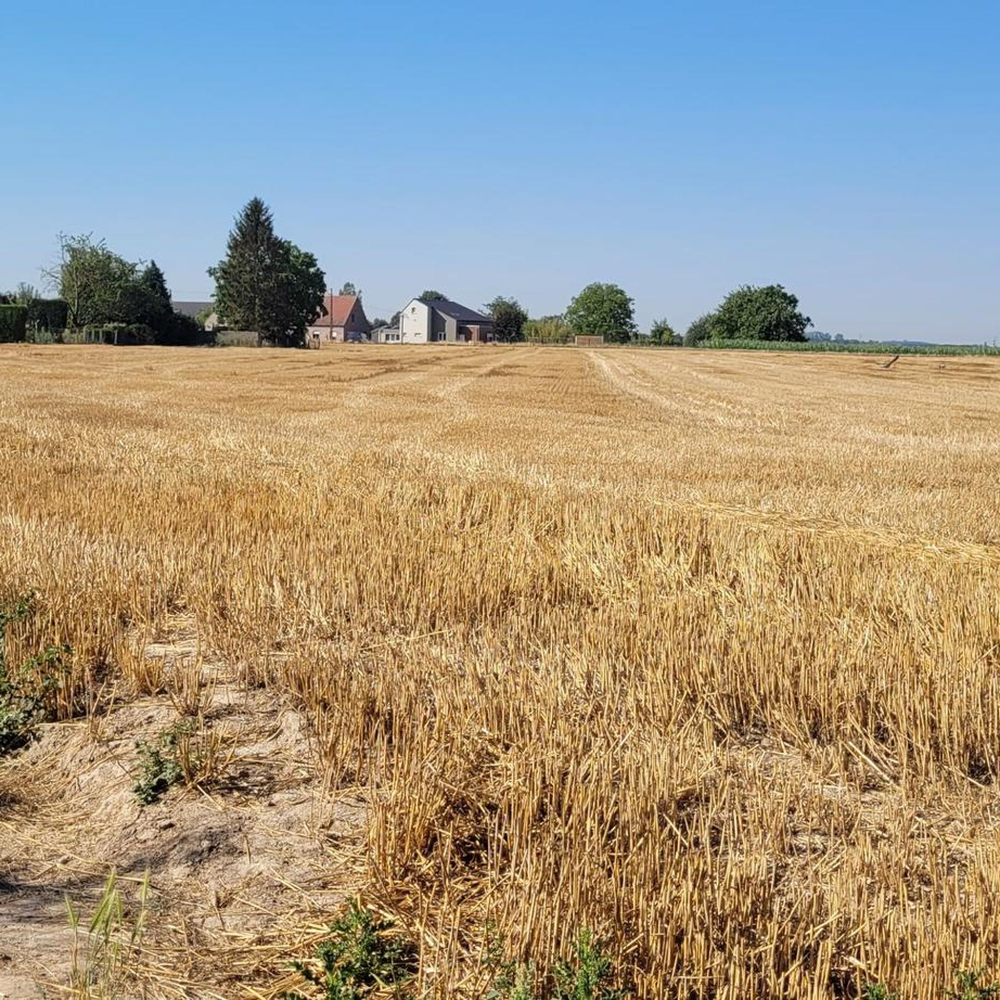
Beautiful ascent through the fields
0
0

The belfry of Tournai is the oldest in Belgium (12th century). The building, which is part of the UNESCO World Heritage, is 72 metres high and dominates the Grand-Place. During the ascent of the tower with its 257 steps, one discovers various didactic exhibitions, the prison, the carillonneur's room and finally the bells which ring every Sunday during the summer (around 3:30 PM). The belfry of Tournai, built in 1192, symbolises municipal freedoms. Its bell (the “Bancloque”) was used to warn the population of trials, executions, invasions, fires, etc. The belfry served as a watchtower, prison, bell tower and town hall. You have access to the first terrace, which offers a breathtaking view of Tournai and its surroundings. source: visitwapi.be
5
0
Between 1857 and 1860, the old Bossuit-Kortrijk canal was dug using spades and wheelbarrows, as well as horse and cart. After the construction of the new canal in the early 1970s, this old section of the canal remained in place. As a result, an ideal spawning ground was created here. Fish find few suitable opportunities to spawn and lay their eggs. They do this on aquatic and riparian plants, which are present in limited numbers in the canal. Species such as rudd and pike require plants to complete their reproduction. The creation of fish spawning grounds gives the fish population a "natural" boost. However, it is not only fish that benefit from this nature development zone. Dragonflies, amphibians, waterfowl, and breeding birds also find an ideal habitat there. Source: information board on site
4
0
Frequently Asked Questions
How many road cycling routes are available around Chéreng?
There are over 500 road cycling routes available around Chéreng, offering a wide variety of options for different skill levels and preferences.
What is the overall difficulty level of road cycling routes in Chéreng?
The routes around Chéreng are predominantly easy to moderate. Approximately 150 routes are classified as easy, while over 350 are moderate. There are also a few more challenging routes for experienced cyclists.
Are there easy road cycling routes suitable for beginners in Chéreng?
Yes, Chéreng offers many easy road cycling routes perfect for beginners. A great option is the Pont des Trous loop from Baisieux, which is 24.7 miles (39.8 km) long with gentle elevation changes, making it very accessible.
Are there challenging road cycling routes for experienced cyclists around Chéreng?
For experienced cyclists seeking a longer ride, the Grand Large de Péronnes – Pont des Trous loop from Baisieux is a moderate 56.7 miles (91.2 km) route with more significant elevation gain, offering a good challenge. Another option is the Moen–Bossuit Canal Path – Scheldt River Path at Outrijve loop from Baisieux, a 45.8 miles (73.7 km) moderate trail.
What kind of terrain can I expect on road cycling routes in Chéreng?
Road cycling routes around Chéreng are characterized by generally flat to gently rolling terrain. You'll find a network of roads traversing open agricultural areas and connecting small towns, with gradual elevation changes rather than steep climbs. This landscape is ideal for sustained cycling.
Are there any circular road cycling routes in Chéreng?
Yes, many road cycling routes in Chéreng are designed as loops. Examples include the Paris Gate – Anstaing loop from Baisieux and the Restaurant Au Coin de la Reine – Ferme de la Courte loop from Baisieux, both offering convenient circular journeys.
What can I see along the road cycling routes around Chéreng?
While cycling, you can explore various natural and man-made attractions. Highlights include the Heron Lake, the unique Colline de Marchenelle, and the serene Vert Bois de Blandain forest. You might also encounter historical sites like the Belgium–France Border on the Canal de Roubaix or the famous Roubaix Velodrome.
Are there any famous cycling landmarks or unique features to look out for?
Absolutely! The region is home to iconic cycling landmarks such as the Carrefour de l'Arbre cobbled sector and The cobbles at Vertain Mill, both renowned sections from the Paris-Roubaix race. These offer a unique experience for road cyclists.
What do other road cyclists enjoy the most about road cycling in Chéreng?
The road cycling routes in Chéreng are highly rated by the komoot community, with an average score of 4.4 stars from over 900 reviews. Cyclists often praise the quiet country roads, the gentle terrain suitable for various abilities, and the scenic views across open fields and along canals.
How long does it typically take to complete a road cycling route in Chéreng?
Route durations vary significantly based on distance and your pace. For example, an easy route like the Pont des Trous loop from Baisieux (24.7 miles) takes about 1 hour 36 minutes, while a longer moderate route such as the Moen–Bossuit Canal Path – Scheldt River Path at Outrijve loop from Baisieux (45.8 miles) can take around 3 hours 16 minutes.
Is Chéreng suitable for family-friendly road cycling?
Given the generally flat to gently rolling terrain and the abundance of easy routes, Chéreng is well-suited for family-friendly road cycling. Many routes traverse quiet agricultural areas, providing a safe and enjoyable environment for all ages.
Most popular attractions around Chéreng

Get inspired with the komoot mobile app


Explore more
Browse the best Road cycling routes in other regions.
