The best road cycling routes around Lys-Lez-Lannoy
4.4
(1119)
24,335
riders
536
rides
Road cycling routes around Lys-Lez-Lannoy are characterized by generally flat to gently undulating terrain, making the area accessible for various fitness levels. The region features an extensive network of cycling paths, including converted former railway lines, greenways, and scenic canal towpaths. Open agricultural landscapes and marshlands provide a tranquil backdrop for rides. This diverse environment offers experiences ranging from leisurely excursions to more moderate journeys with slight elevation changes.
Best road cycling routes around Lys-Lez-Lannoy
- The most popular road cycling…
Last updated: October 12, 2026
4.0
(5)
51
riders
32.6km
01:26
70m
70m
Easy road ride. Great for any fitness level. Mostly well-paved surfaces and easy to ride.
5.0
(5)
37
riders
19.5km
00:48
30m
30m
Moderate road ride. Great for any fitness level. Some segments of this route may be unpaved and difficult to ride.

4.3
(3)
16
riders
37.8km
01:49
180m
180m
Moderate road ride. Great for any fitness level. Some segments of this route may be unpaved and difficult to ride.
5.0
(1)
17
riders
16.3km
00:39
60m
60m
Easy road ride. Great for any fitness level. Mostly well-paved surfaces and easy to ride.
4.8
(5)
14
riders
31.5km
01:19
90m
90m
Easy road ride. Great for any fitness level. Mostly well-paved surfaces and easy to ride.
Get access to more routes and recommendations from other explorers.
Already have an account?
Our route recommendations are based on thousands of hikes, rides, and runs completed by other people on komoot.
Start today with a free account
Your next adventure awaits.

Tips from the Community


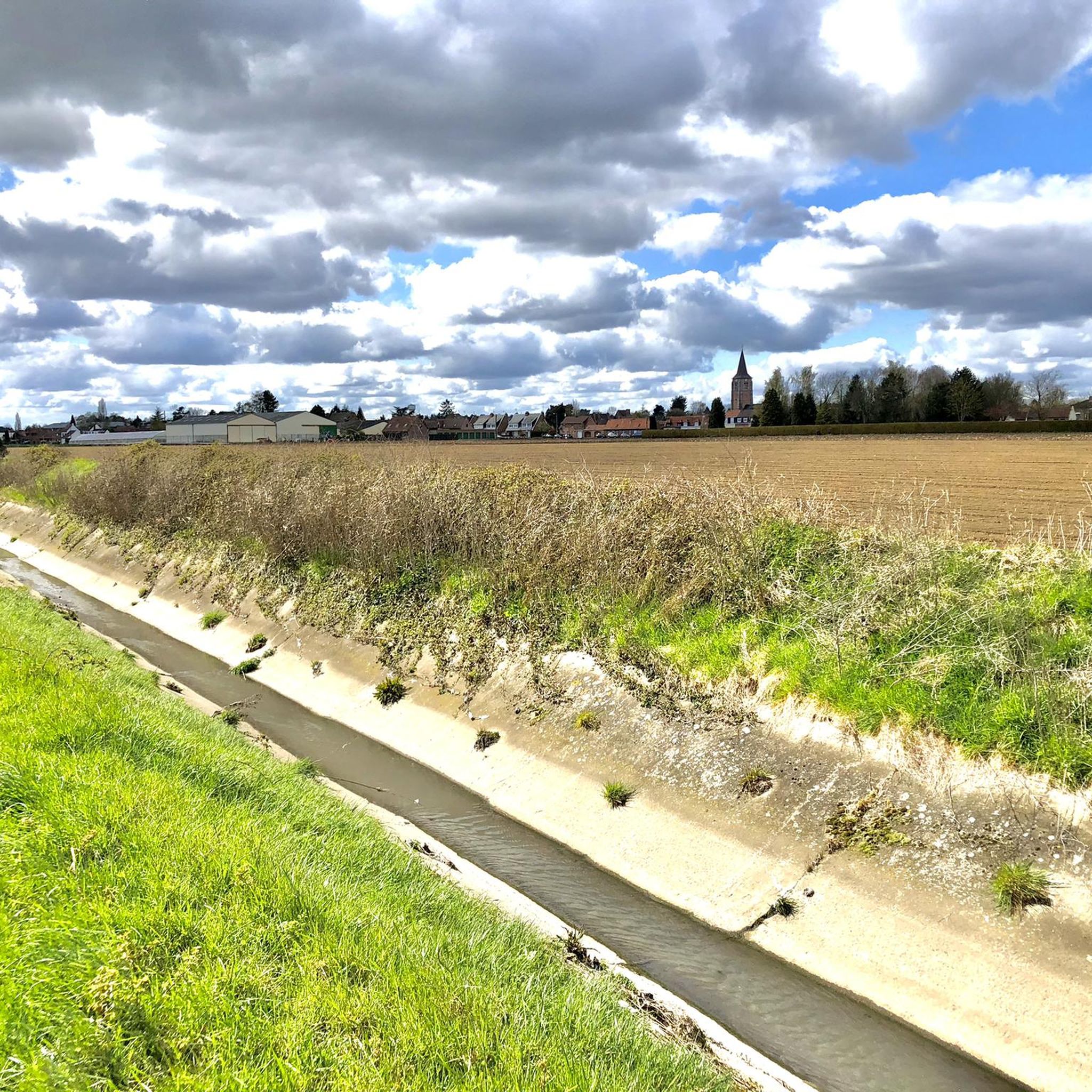
Super nice when there are no others to be seen. And doubly pleasant when you have the wind at your back.
0
0

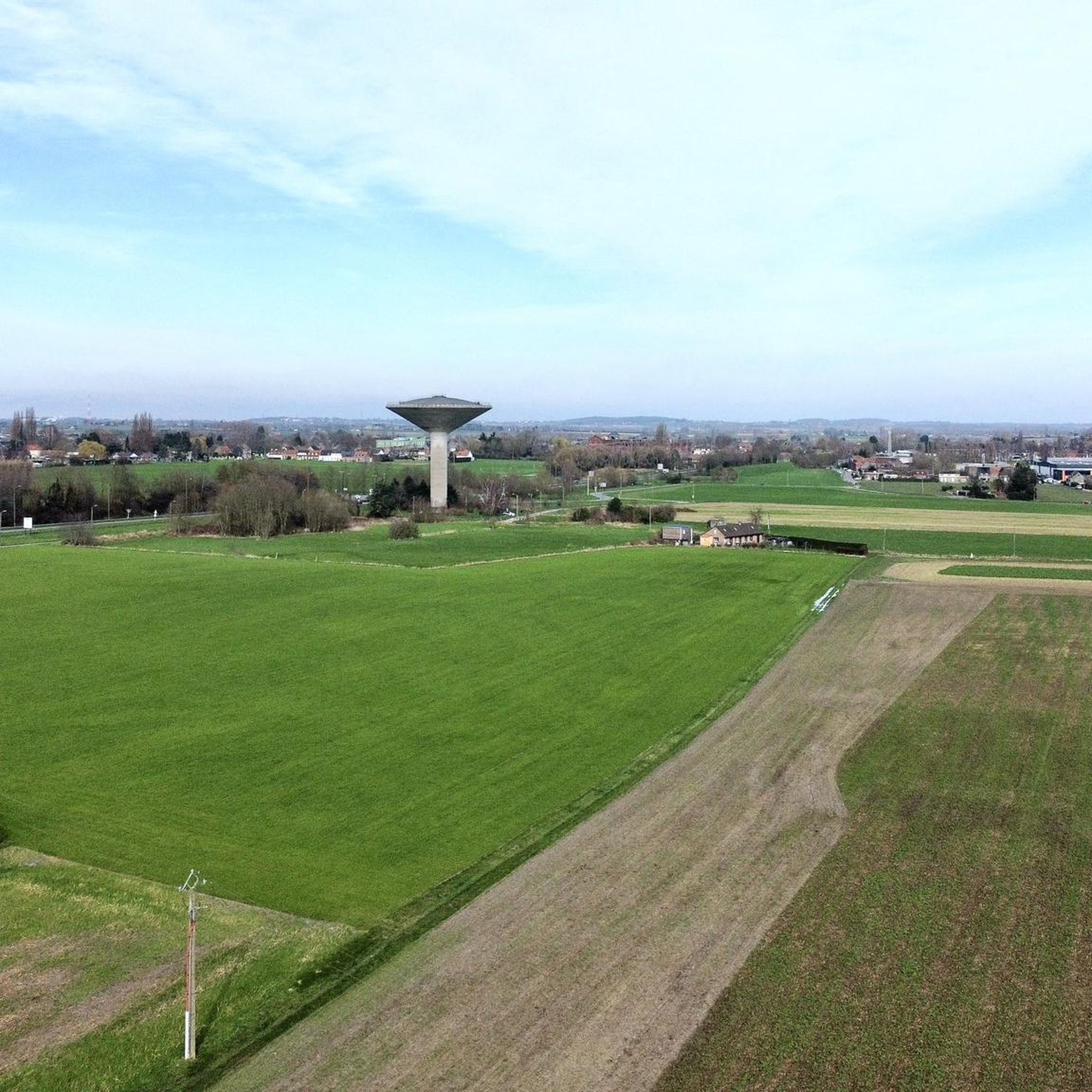
The old tram line in Rollegem was redeveloped into a slow road. It took some time to complete the final section, at the former tram station on Tombroekstraat (Beekweg). From the 18th century until May 25, 1963, the tram station served as a stop on the Kortrijk-Mouscron line. This line not only transported passengers, but often also a wagon loaded with goods or coal. The stop and loading yard were located on Tombroekstraat. From 1902 to 1938, the line was electrified. In 1963, a bus line replaced the tram. In 1990, the Flemish government constructed a cycle path on the embankment of the decommissioned line, connecting Bellegem with Rollegem, including a tunnel under the A17 motorway. However, approximately 300 meters of tram track, between two meadows, remained untouched. Starting in 2004, the city council purchased plots of land along the tram track. The missing section was included in the Cycle Route Plan. This section also includes the former bridge over the Fabrieksbeek stream. The new Chiro building is located on the site of the former tram station. Source: Stadskrant Kortrijk
4
0
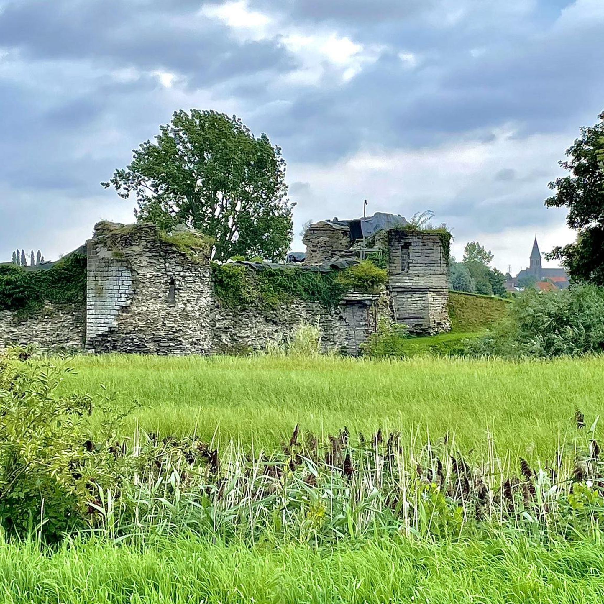
The Mauroy Bridge is one of three movable bridges spanning the canal at Saint-Léger. Each bridge had a bridge keeper's house, where the bridge keeper lived, responsible for opening and closing the bridge each time a ship passed. These houses were often also cafés... or still are, as here. Just beyond the bridge, the old Mauroy farm bordered an imposing castle, the Mauroy Castle, designed by Sanderus in 1644. In 1504, the castle and the Mauroy estate belonged to Arnould de Maulde, a lord of the manor. Source: brochure "Promenade Saint-Léger"
3
0
Today, the Camille Depinoy municipal school is partly housed in the castle (park).
3
0
The lordship of Templeuve is already mentioned at the end of the 13th century. In 1278, Guillaume de Mortagne received the lordship of Rumez, which is now a hamlet within the municipality. Guillaume was also lord of Dossemer, near Templeuve. It is assumed that he also received the lordship of Templeuve from there. In any case, his son, Guillaume II, gave it to his wife as a dowry in the early 14th century. Dossemer and Templeuve remained in the hands of the Mortagne family until the end of the 14th century. This family presumably gradually expanded the manor, thus laying the foundation for the first fortified castle in Templeuve-en-Dossimer. In 1414, only Templeuve came into the possession of the du Quesnoy family. The Blondel and finally the Lannoy families followed. Around 1500, the castle likely became a manor house and a farm. The evolution of military weapons led the lords to demolish the old, cumbersome fortress and replace it with a lavish and modern residence. Out of respect for feudal traditions, which would continue for another two centuries, the moat was preserved, but the drawbridge was replaced by a permanent stone bridge. Originally, moats ran along all sides of the castle. The moat surrounding the castle on the east side was removed in 1845 by Victor de Formanoir de la Cazerie. The towers, a privilege of the noble lord, are preserved more as decoration than as a means of defense, as is the quadrangular shape, which was once dictated by military necessity. In short, its appearance as a 'castle' or 'fort' is more defined by tradition and grandeur than by military function. Source: Wikipedia
3
0
The original 14th-century church was destroyed by the Germans in 1918, at the end of World War I. They blew up the bell tower, which then collapsed, almost completely destroying the church. Miraculously, part of the original Gothic facade, including the 15th-century portal, remained standing. In 1923, barely five years after the destruction, the new church was built thanks to the villagers' determination and donations. This reconstruction was the work of architect Paul Clerbaux, who designed the church according to the same plan as the previous one, in the neo-Gothic style. The vaults were raised with ribbed arches, and the tower was built higher, above the transepts. The portal, dating from the 15th century, has a basket-handle arch beneath a pointed arch, flanked by two buttresses added in 1923. On either side of the doorposts are two statues in a covered niche, decorated with cabbage leaves. The first statue depicts Saint Amand (damaged by iconoclasts in 1566), and the other Saint Vincent (a saint not generally venerated in the Tournai region). Source: cipar.be
3
0
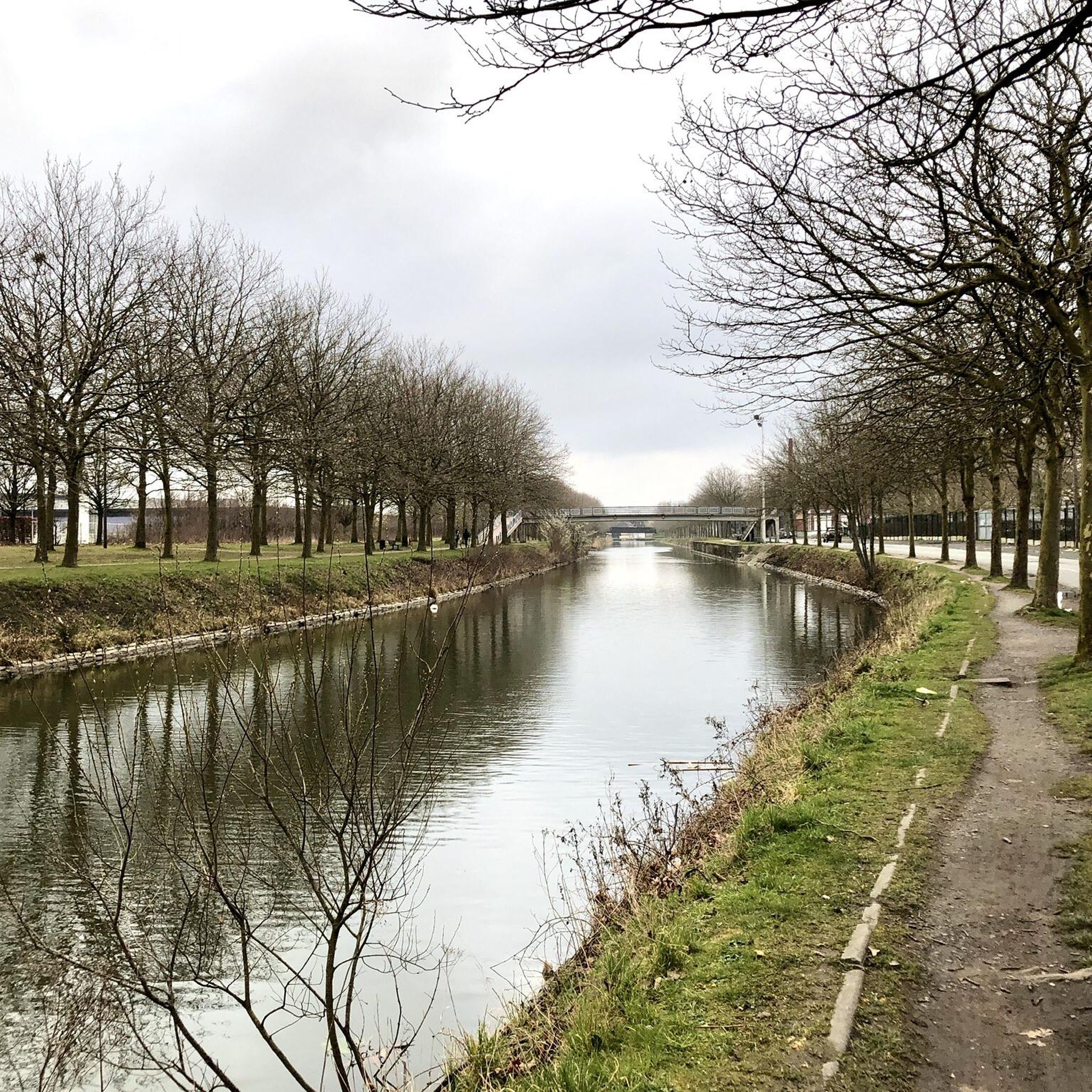
The Roubaix Canal, or the Espierres Canal, as it's called in French or Belgian, forms part of the link between the Deûle River in France and the Scheldt River in Belgium. In 1843, the two canals were connected between Leers, France, and Leers-Nord, Belgium. Despite damage sustained during the two world wars, the canal was the pinnacle of the region's textile industry for over a hundred years, transporting coal from Belgium to numerous French factories. In Leers-Nord, Belgium, the workers who pulled the coal-laden barges were called "satcheux" (sailors). Next to the lock keeper's house, a stone's throw from France, the crossing point between France and Belgium, a customs guardhouse was built. Customs officers were present to inspect the numerous goods transported by barge. After the decline of the textile industry in the 1970s and 1980s, the canal gradually lost its usefulness and was closed to shipping in 1983. In the early 2000s, the canal was the subject of a cross-border rehabilitation project to allow tourist boats to pass through again. As part of the Interreg Blue Links project, a collaboration between France, Flanders, and Wallonia, it was flooded again. The final works were completed in 2011, and navigation reopened. Since the early 20th century, the Roubaix/Espierres Canal has been a place of conviviality, walking, and fishing for cross-border residents and commuters. Consequently, strong public opposition has arisen to the plan to convert the canal into a motorway. Source: www.caue-nord.com
3
0
Frequently Asked Questions
How many road cycling routes are available around Lys-lez-Lannoy?
There are over 540 road cycling routes around Lys-lez-Lannoy, offering a wide variety of options for different skill levels and preferences. This extensive network includes routes along converted railway lines, greenways, and scenic canal towpaths.
What is the typical terrain for road cycling in Lys-lez-Lannoy?
The terrain around Lys-lez-Lannoy is generally flat to gently undulating, making it accessible for most cyclists. You'll find routes traversing open agricultural fields, green corridors, and marshlands, providing a tranquil and scenic backdrop. Some routes may feature slight elevation changes, but nothing overly strenuous.
Are there road cycling routes suitable for beginners or families?
Yes, Lys-lez-Lannoy offers over 100 easy road cycling routes, perfect for beginners or family outings. These often follow flat canal towpaths or quiet country lanes, providing a relaxed and enjoyable experience. An example is the 'View of Templeuve Windmill – Anstaing loop from Eurotéléport', which is considered easy.
Can I find more challenging road cycling routes in the area?
While the region is known for its gentler terrain, there are some more challenging options. Over 30 difficult routes are available, often featuring longer distances and more significant elevation changes for the area. For instance, the Roubaix Velodrome – Mont-Saint-Aubert loop from Eurotéléport is a difficult route that covers over 113 km.
What natural features can I expect to see along the road cycling routes?
Cyclists can enjoy diverse natural features, including expansive agricultural fields, lush green corridors, and picturesque marshlands. The region is also characterized by its canal system, such as the Canal de Roubaix, which offers flat, accessible paths. You might also encounter beautiful lakes like Heron Lake or Spanish Lake.
Are there any historical or cultural landmarks to explore while cycling?
Yes, the area offers several points of interest. You can cycle past the Belgium–France Border on the Canal de Roubaix, or visit local heritage sites within Lys-lez-Lannoy itself, such as the Saint-Luc church or the Chapelle du Nouveau Monde. The region's cycling heritage is also evident with landmarks like the Paris-Roubaix Monument.
Can I cycle near the famous Roubaix Velodrome?
Absolutely. Lys-lez-Lannoy's proximity to Roubaix means you can easily incorporate the iconic Roubaix Velodrome into your ride. Routes like the Roubaix Velodrome – Leers Windmill loop from Eurotéléport offer a direct connection to this significant cycling landmark.
What do other road cyclists say about the routes in Lys-lez-Lannoy?
The road cycling routes in Lys-lez-Lannoy are highly regarded by the komoot community, boasting an average rating of 4.35 stars from over 980 reviews. More than 22,000 road cyclists have explored the varied terrain, often praising the tranquil agricultural fields, green corridors, and well-maintained canal paths.
Is parking available for cyclists near the routes?
While specific parking details vary by route starting point, many routes in the region are designed to be accessible, and you'll typically find public parking options in towns and villages near popular trailheads. It's advisable to check the route details on komoot for specific parking recommendations.
How accessible are the road cycling routes by public transport?
The region around Lys-lez-Lannoy benefits from a connected network, and many routes are accessible via public transport, particularly from larger towns like Roubaix. Cyclists can often use regional train services or local buses that accommodate bikes, though it's always best to check specific transport provider policies and schedules in advance.
Are there places to stop for refreshments along the cycling paths?
Yes, many road cycling routes in the Lys-lez-Lannoy area pass through or near charming villages and towns where you can find cafes, bakeries, and small shops for refreshments. Routes along canal towpaths often have establishments conveniently located nearby, especially in more populated areas.
What is the best time of year for road cycling in Lys-lez-Lannoy?
The spring and autumn months generally offer the most pleasant conditions for road cycling in Lys-lez-Lannoy, with milder temperatures and beautiful scenery. Summer can also be excellent, though it's wise to plan rides for cooler parts of the day. The region's generally flat terrain makes it enjoyable across various seasons, weather permitting.
Can I find circular road cycling routes in the area?
Yes, many of the road cycling routes around Lys-lez-Lannoy are designed as loops, allowing you to start and finish at the same point. Examples include the 'Canal de Roubaix – La Marque Canal Towpath loop' and the 'In single file – Léaucourt and Its Marshes loop', providing convenient options for exploring the region without retracing your steps.
Most popular routes around Lys-Lez-Lannoy
Most popular attractions around Lys-Lez-Lannoy

Get inspired with the komoot mobile app


Explore more
Browse the best Road cycling routes in other regions.
