The best walks and hikes around Wambrechies
4.7
(85)
880
hikers
39
hikes
Hiking around Wambrechies offers varied routes along the Canal of the Deûle, characterized by rural banks and wet meadows. The terrain is generally flat, with minimal elevation changes, making it accessible for various fitness levels. The area's towpaths provide straightforward walking opportunities, connecting to local points of interest. Proximity to natural reserves further enhances the region's appeal for outdoor activities.
Best hiking trails around Wambrechies
- The most popular hiking route is Along the canal of the Deûle — loop from Wambrechies, a 7.3 miles (11.7 km) moderate trail that takes 2 hours 57 minutes to complete. This route follows the scenic Deûle canal.
- Another top favourite among local hikers is Port of Wambrechies – Wambrechies Church loop from Marquette-lez-Lille, a moderate 6.7 miles (10.9 km) path. This trail connects the Port of Wambrechies with the local church.
- Local hikers also love the Path to rejoin the canal – Distillery of Wambrechies loop from Marquette-lez-Lille, a 5.3 miles (8.5 km) trail leading through areas near the canal and the local distillery, often completed in about 2 hours 9 minutes.
- Hiking around Wambrechies is defined by canal-side paths, rural banks, and wet meadows. The network offers options for different ability levels, primarily featuring easy to moderate routes.
- The routes in Wambrechies are highly rated by the komoot community with an average score of 4.6 stars from over 70 reviews. More than 800 hikers have used komoot to explore Wambrechies's varied terrain.
Last updated: October 10, 2026
4.1
(14)
115
hikers
11.7km
02:58
20m
20m
Moderate hike. Good fitness required. Easily-accessible paths. Suitable for all skill levels.
4.5
(14)
85
hikers
Moderate hike. Good fitness required. Easily-accessible paths. Suitable for all skill levels.

61
hikers
Moderate hike. Good fitness required. Easily-accessible paths. Suitable for all skill levels.
4.6
(12)
102
hikers
Moderate hike. Good fitness required. Easily-accessible paths. Suitable for all skill levels.
5.0
(5)
42
hikers
Moderate hike. Good fitness required. Easily-accessible paths. Suitable for all skill levels.
Get access to more routes and recommendations from other explorers.
Already have an account?
Our route recommendations are based on thousands of hikes, rides, and runs completed by other people on komoot.
Start today with a free account
Your next adventure awaits.
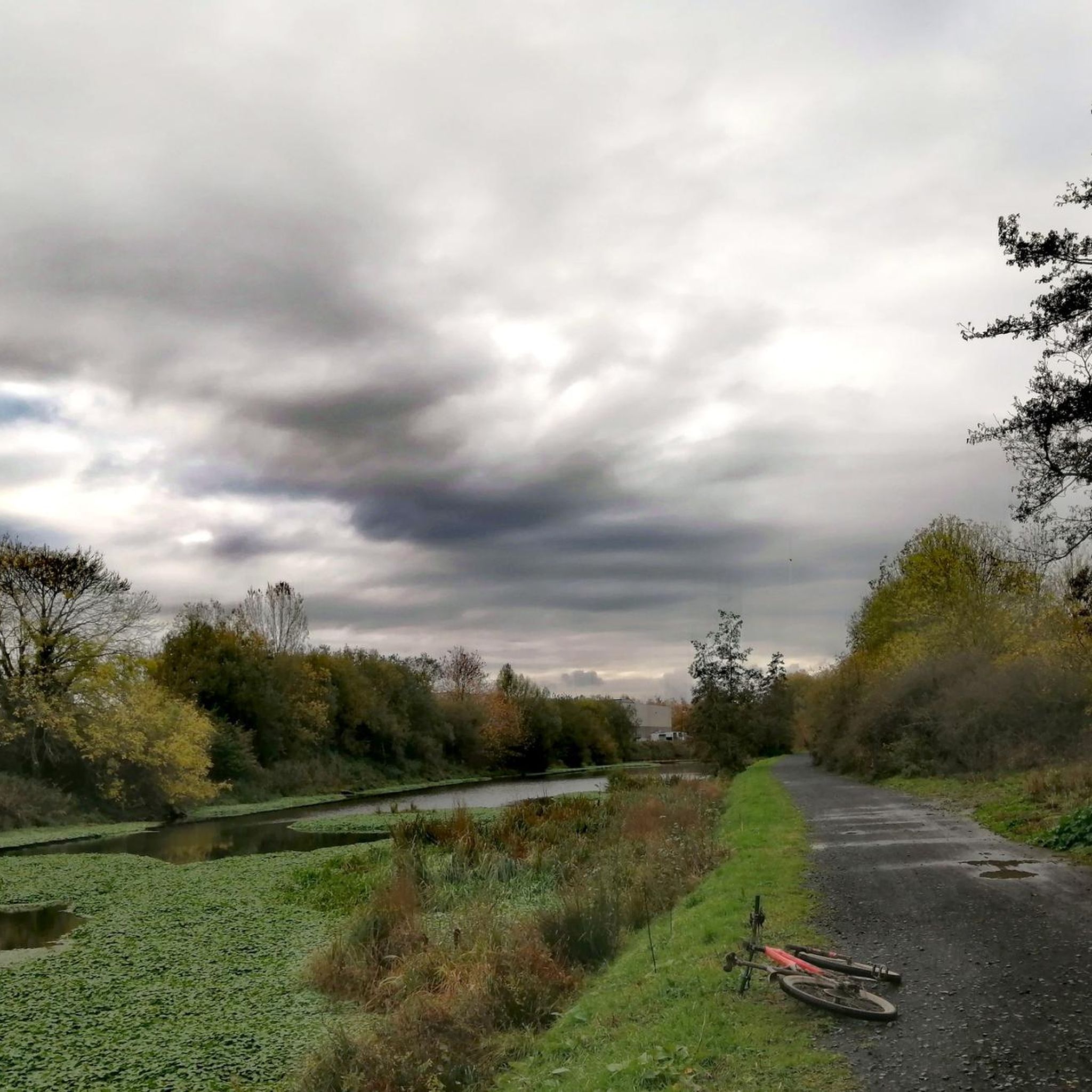
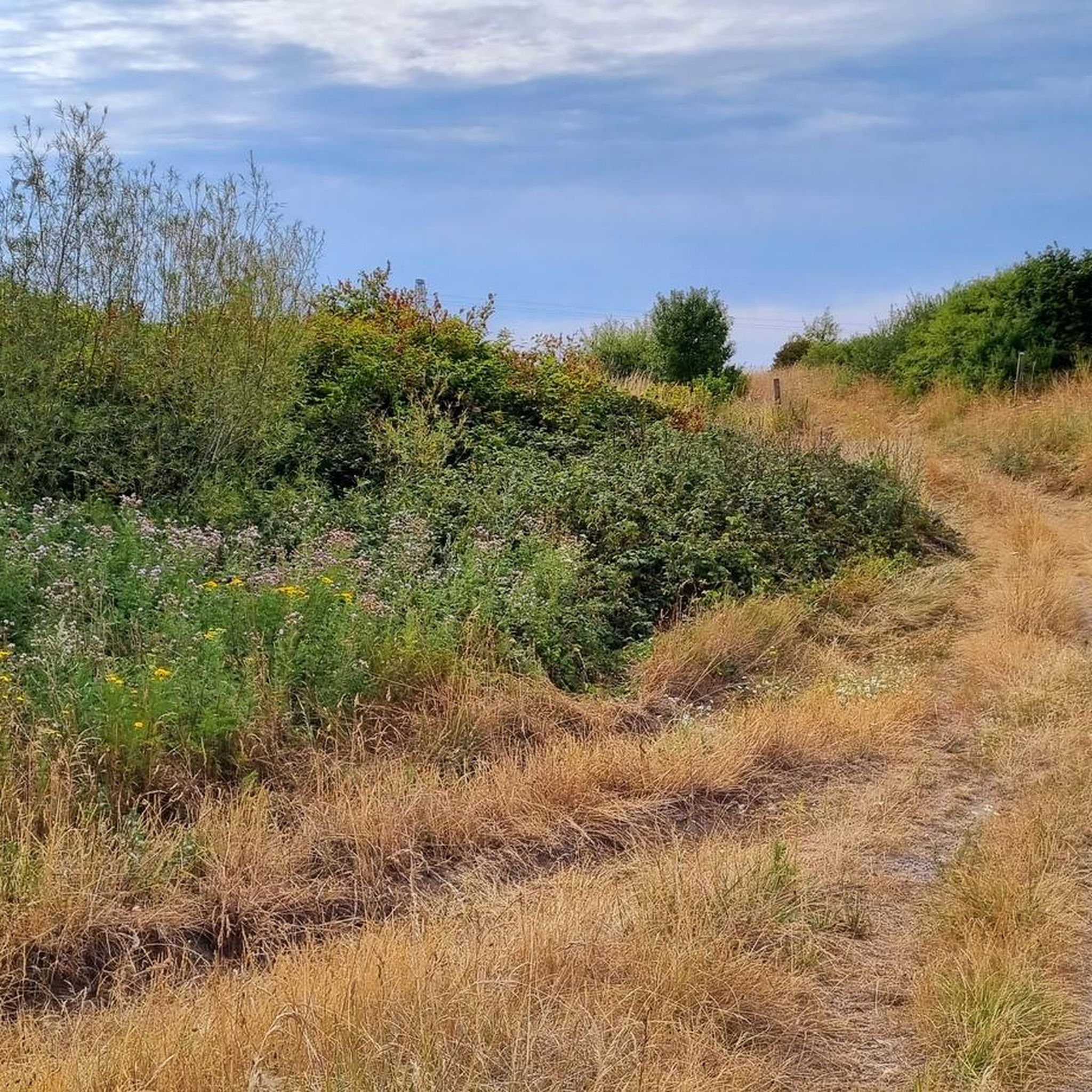
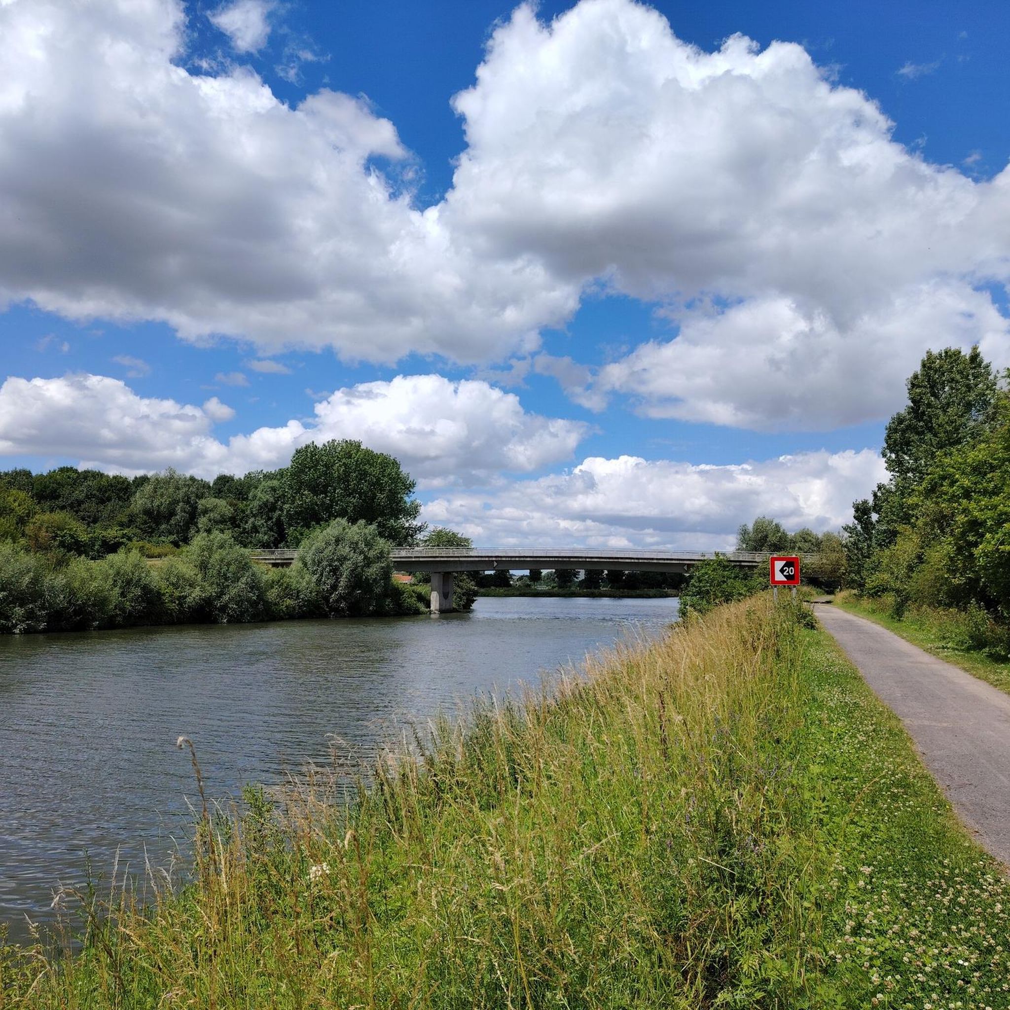
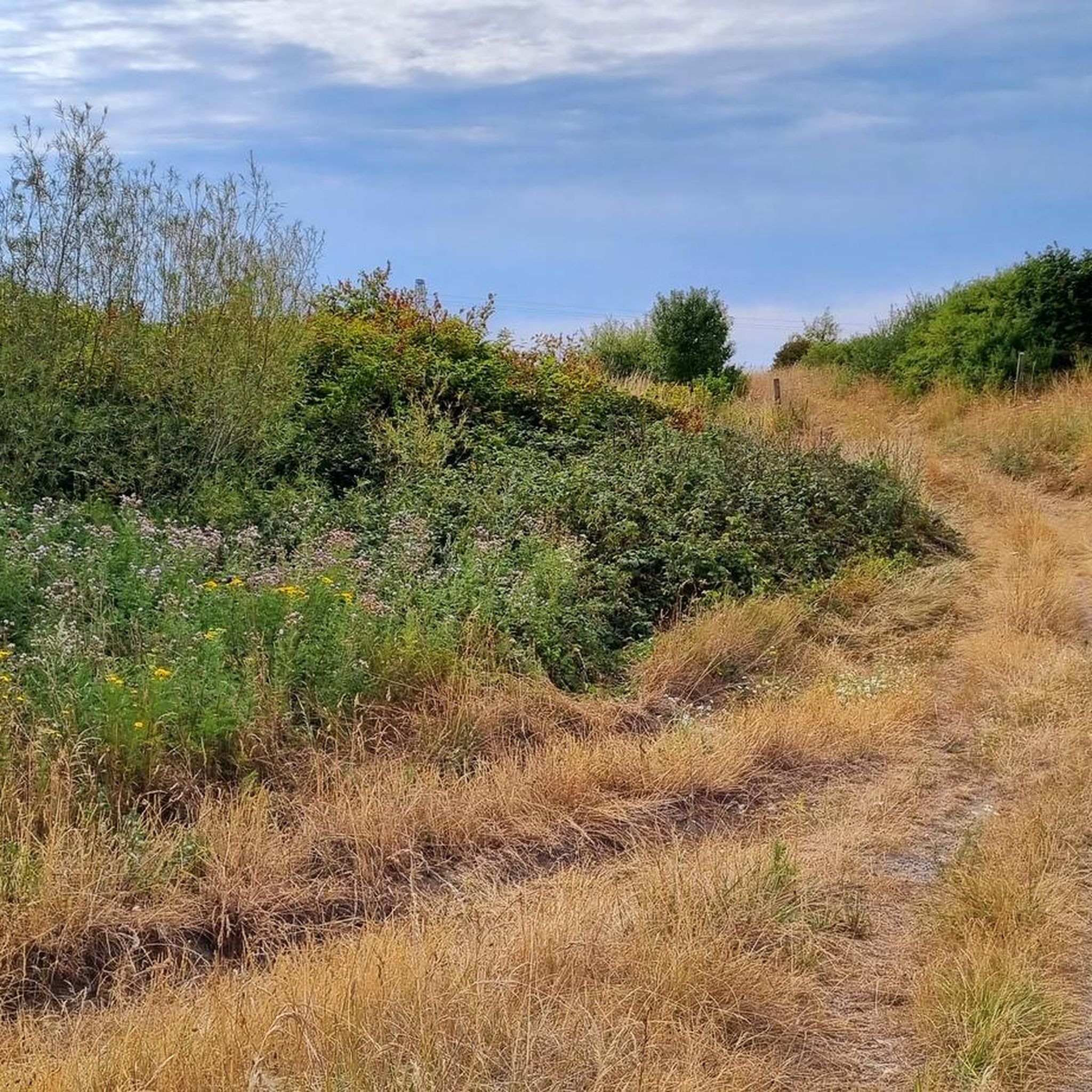

Tips from the Community

Historical landmark on the Deûle https://www.marquettelezlille.fr/sur-les-traces-du-passe/le-pont-mabile/
0
0

This bridge over the Deûle River, which connects Saint-André with Marquette, is officially called the Pont de l'Abbaye. It underwent a major renovation in the summer of 2023: the road surface and sidewalks were replaced, and the bridge arches were repainted.
3
0
The city of La Madeleine, part of the Lille metropolitan area, has issued several street art commissions in recent years. Several of these were created along the banks of the Deûle River. These, located on steps connecting the quay and the city, date from 2022 and are the work of Iksté, aka York. xavink.jimdofree.com
2
0
The Deûle and its tributary, the Marque, have divided Marquette-lez-Lille into several neighborhoods: the Abbey, the Town Center, and Lommelet. The Mabile Bridge therefore plays a key role in connecting these neighborhoods. Before the construction of a fixed bridge, a path wound through Mr. Vannière-Smet's estate, leading to a swing bridge consisting of a rotating, movable plank. The word "mobile" was corrupted to "mabile," hence the name Mabile Bridge. The first fixed bridge at this location dates back to 1887. This bridge was destroyed during the First World War and rebuilt a few years later. In 1940, the bridge was dynamited, rebuilt, and inaugurated on July 14, 1949. www.marquettelezlille.fr
3
0
Here you have a beautiful view of Robersart Castle, located on the other side of the Deûle Canal. The building, constructed of red brick and white Lezennes stone, dates from 1760. It was home to the Lords of Wambrechies, including the Robert de Robersart family, who gave it their name. The last resident was Juliette, Countess of Robersart, who died in 1900. The building later housed a brewery, a laundry, and a school. Now it is a municipal building. Behind it lies a 7-hectare park with an arboretum featuring 270 hardy varieties and 75 rose varieties. The so-called "Counts' Garden" has 300 varieties of ornamental plants. Source: nl.lilletourism.com
2
0

If you are patient, you might see the Countess...
0
1
A beautiful walk, personally, I like it with mist on the water and the sun showing its face
0
1
It's a beautiful place, its fame brings people in, sometimes too much for my taste, but let's take advantage of a site not far from the Belgian border, which is active and which attracts people.
0
0
Frequently Asked Questions
What kind of terrain can I expect on hiking trails around Wambrechies?
The hiking trails around Wambrechies are primarily characterized by flat terrain with minimal elevation changes. You'll find many routes along the rural banks and wet meadows of the Canal of the Deûle, utilizing its towpaths. This makes the area accessible for various fitness levels.
Are there many easy hiking routes in Wambrechies?
Yes, Wambrechies offers a good selection of easy hiking routes. Out of the 40 available trails, 17 are classified as easy, making them suitable for casual strolls or beginners. An example is the Robersart Castle – Wambrechies Church loop from Marquette-lez-Lille, which is an easy 4.9 km path.
Are there any circular hiking routes in Wambrechies?
Many of the routes in Wambrechies are circular, allowing you to start and end in the same location. For instance, the popular Along the canal of the Deûle — loop from Wambrechies is a moderate 11.7 km circular trail.
What natural features can I see while hiking in Wambrechies?
Wambrechies is known for its natural beauty, particularly along the Canal of the Deûle, which features rural banks, wet meadows, and a rich biodiversity. The area is also close to several natural reserves like the Réserve naturelle du Jardin écologique du Vieux-Lille and Les Prés du Hem. Further afield, the picturesque banks of the Lys river offer additional scenic walking opportunities.
Are there any historical landmarks or attractions along the hiking trails?
Yes, several routes incorporate local landmarks. For example, the Port of Wambrechies – Wambrechies Church loop from Marquette-lez-Lille connects the historic Port of Wambrechies with the local church. You can also find routes that pass by the Robersart Castle or the local distillery, adding cultural interest to your hike.
What do other hikers say about the trails in Wambrechies?
The hiking routes in Wambrechies are highly regarded by the komoot community, with an average rating of 4.6 stars from over 70 reviews. Hikers often praise the accessible canal-side paths and the tranquil environment of the Deûle.
Can I bring my dog on the hiking trails in Wambrechies?
While specific regulations for each trail vary, the general nature of the canal-side paths and towpaths in Wambrechies often makes them suitable for walks with dogs, provided they are kept under control. Always check local signage for any specific restrictions.
Are there family-friendly hiking options in Wambrechies?
Yes, the generally flat terrain and numerous easy routes make Wambrechies a good destination for family-friendly hikes. The towpaths along the Canal of the Deûle offer safe and straightforward walking environments for all ages.
How many hiking trails are available in Wambrechies?
There are over 40 hiking trails available around Wambrechies, catering to various preferences and fitness levels. These include 17 easy routes and 23 moderate routes, with no difficult trails.
What is the best time of year to go hiking in Wambrechies?
The region's diverse landscapes, particularly along the Canal of the Deûle, are enjoyable throughout much of the year. Spring and autumn offer pleasant temperatures and scenic views, while summer provides longer daylight hours. Even in winter, the flat terrain can be suitable for walks, though conditions may vary.
Are there any long-distance hiking options or routes that connect to other areas?
While Wambrechies primarily offers day hikes, its location along the Canal of the Deûle means that many routes can be extended or connected to other paths along the canal, potentially leading to nearby towns or natural areas. For example, the Robersart Castle – Canal de la Deûle loop from Marquette-lez-Lille offers a moderate 8.3 km experience along the canal.
Where can I find more information about natural sites in the broader region?
For more details on natural sites and walks in the broader region, you can consult resources like the Comines-Warneton tourism website, which provides information on various natural attractions. Visit visitcomines-warneton.be for more.
Most popular routes around Wambrechies
Most popular attractions around Wambrechies

Get inspired with the komoot mobile app


Explore more
Browse the best Hikes in other regions.
