The best MTB trails around Wervicq-Sud
4.5
(499)
4,939
riders
184
rides
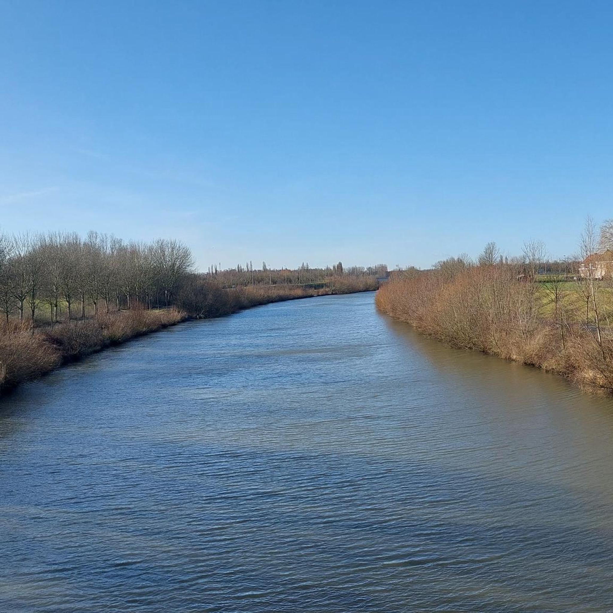
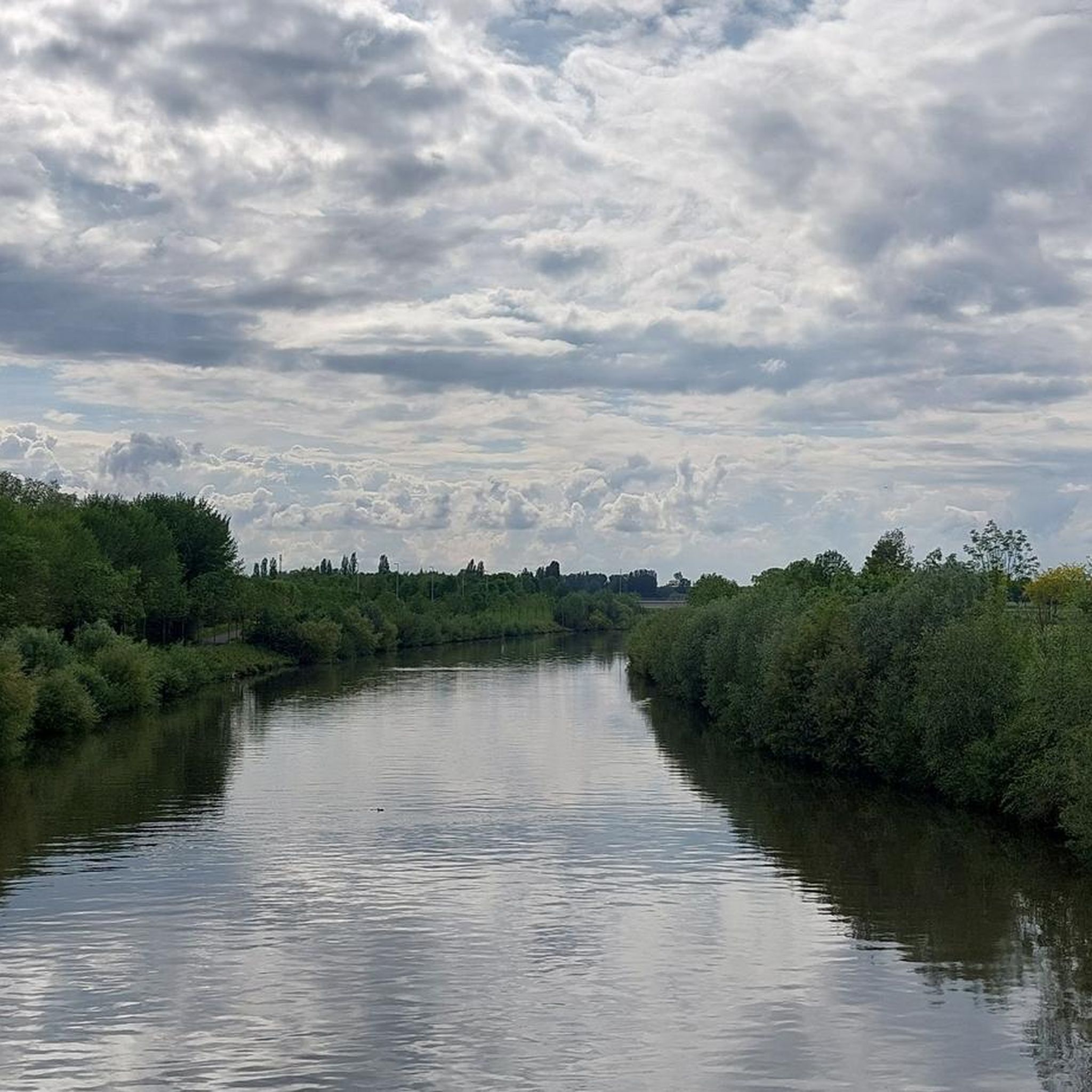
Mountain biking around Wervicq-Sud offers a diverse landscape characterized by flat river plains, dense woodlands, and open agricultural fields. The region features a network of gravel paths, forest trails, and riverside routes along the Leie. While generally low in elevation, some routes include moderate climbs, providing varied terrain for mountain bikers.
Best mountain bike trails around Wervicq-Sud
- The most popular mountain bike trail is Riverside Path Along the Leie – Tree-Lined Riverside Pathway loop from Wervik, an easy 20.3…
Last updated: October 20, 2026
4.1
(11)
462
riders
64.7km
03:59
380m
380m
Moderate mountain bike ride. Good fitness required. Advanced riding skills necessary.
4.3
(12)
97
riders
48.2km
03:08
110m
110m
Moderate mountain bike ride. Good fitness required. Suitable for all skill levels.

4.3
(9)
67
riders
Easy mountain bike ride. Great for any fitness level. Suitable for all skill levels.
23
riders
72.6km
04:30
580m
580m
Moderate mountain bike ride. Good fitness required. Advanced riding skills necessary.
25
riders
71.6km
03:48
160m
160m
Moderate mountain bike ride. Good fitness required. Suitable for all skill levels.
Get access to more routes and recommendations from other explorers.
Already have an account?
Our route recommendations are based on thousands of hikes, rides, and runs completed by other people on komoot.
Start today with a free account
Your next adventure awaits.


Tips from the Community

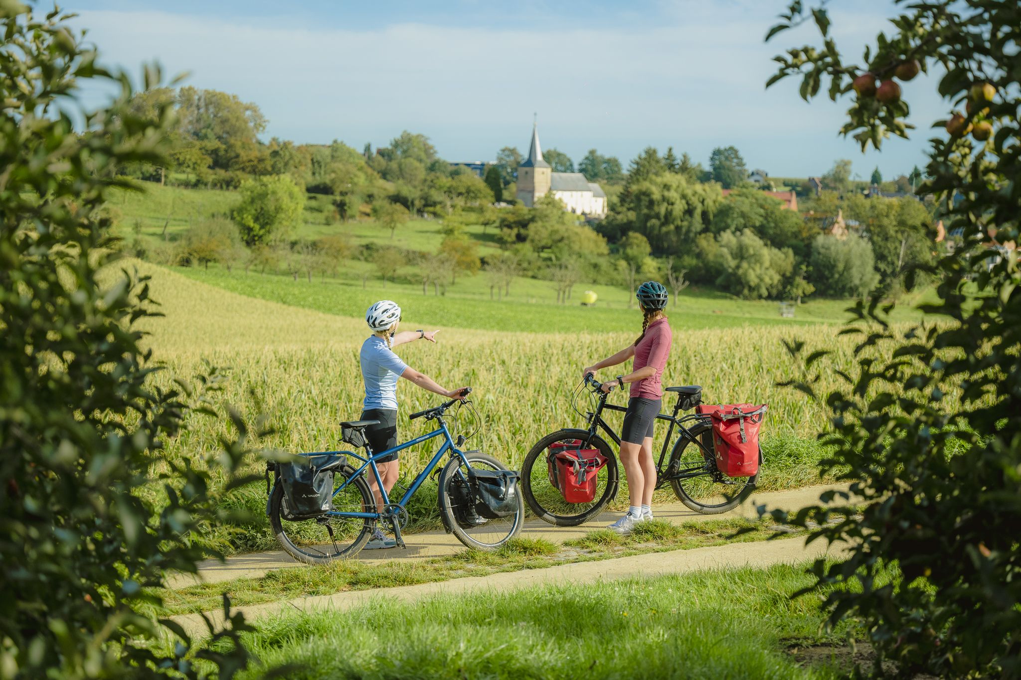
St. Eligius Church: a church with scars ⛪ The St. Eligius Church in Westouter has a history dating back to the Middle Ages. The striking Romanesque octagonal east tower largely survived the devastation of the First World War. The bricked-up arch at the bottom still reveals the origin of the former basilica church. The rest of the church was rebuilt in 1922-1923 to a design by Jules Coomans, in the typical yellow polder brick. Around the church lie the Westouter British Cemetery and an impressive bluestone war memorial. A place where centuries of history and the scars of the Great War meet.
3
0
St. Eligius Church of Westouter: a church that remained standing ⛪ The St. Eligius Church of Westouter appears at first glance to be a neo-Gothic church, but a closer look reveals a much older story. The octagonal Romanesque east tower largely survived the destruction of the First World War. The bricked-up arch at the bottom still recalls the medieval cruciform church. After the war, the church was rebuilt in 1922-1923 to a design by Jules Coomans, with the typical yellow polder brick. This was not superfluous luxury, as the church had already experienced setbacks: in 1794, a fire destroyed the building, after which it was extended in the early 19th century. Even today, the war is still palpable here. The Westouter British Cemetery lies around the church, and in front of the church stands an impressive bluestone war memorial. A place where centuries of history and the scars of the Great War meet beautifully.
3
0

The summit of the slope lies between the Rodeberg and the Vidaigneberg. Near the summit stands the Lijstermolen (Listers Mill). A chairlift runs between the Baneberg and the Vidaigneberg, gliding over the saddle valley between the two "mountains" and the vineyards of the Entre-Deux-Monts, offering panoramic views of northern France and the Belgian coastal plain. The summit is 140 meters high. The name comes from the Bane family, who owned the mountain in the 13th and 14th centuries. The slope is also sometimes called Gildestraat (Gilde Street). https://nl.wikipedia.org/wiki/Baneberg
0
0
The parish was founded in 1069. Originally, there was a Romanesque cruciform church. Eventually, there was a three-aisled hall church with a crossing tower and an octagonal superstructure. In 1794, the church was destroyed by fire. From 1805 to 1807, the church was restored. The eastern choir was demolished, leaving the crossing tower, particularly its lower structure, to form a portal. On the west side, the nave was extended and a new choir was built. During the First World War, the church was largely destroyed, but the tower was more or less spared. The church was rebuilt in the 1920s under the architecture of Jules Coomans. https://nl.wikipedia.org/wiki/Sint-Eligiuskerk_(Westouter)
2
0


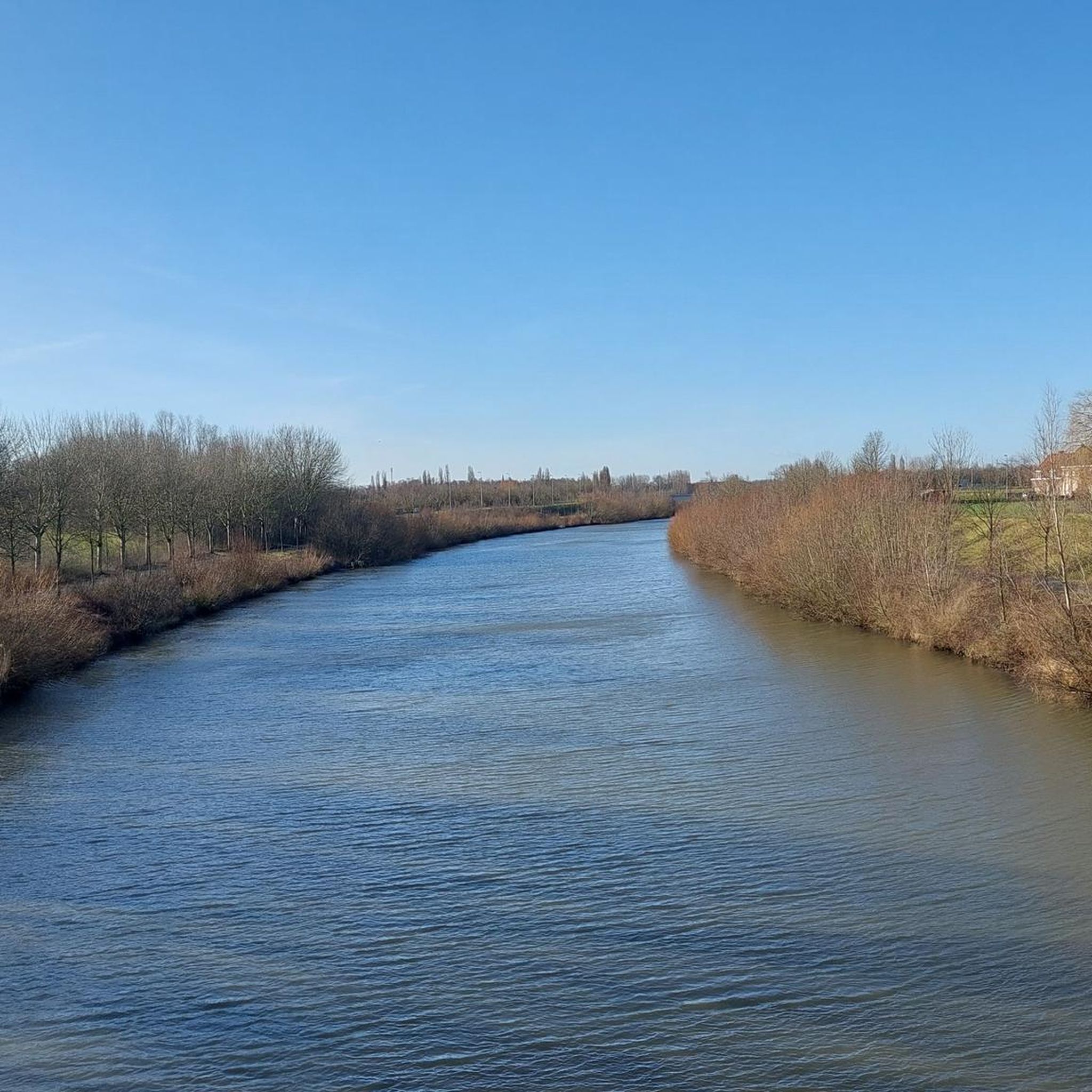
Beautiful bridge, beautiful views and border.
0
0

Small ditch to cross followed by a climb with a left turn
0
0

The Broel Towers are a protected monument, first dating back to 1386 & 1415 (second tower). They were built to control the traffic on the River Leie. They had to be rebuilt after the first and second world wars
0
0
Frequently Asked Questions
How many mountain bike trails are available around Wervicq-Sud?
There are nearly 200 mountain bike trails around Wervicq-Sud, offering a wide range of options for different skill levels and preferences. You'll find everything from easy riverside paths to more challenging forest routes.
What kind of terrain can I expect on mountain bike trails in Wervicq-Sud?
The terrain around Wervicq-Sud is quite varied, featuring flat river plains, dense woodlands, and open agricultural fields. You'll encounter networks of gravel paths, forest trails, and scenic riverside routes along the Leie. While generally low in elevation, some routes do include moderate climbs, adding to the diversity.
Are there easy mountain bike trails suitable for beginners in Wervicq-Sud?
Yes, Wervicq-Sud offers a good selection of easy mountain bike trails perfect for beginners. One popular option is the Riverside Path Along the Leie – Tree-Lined Riverside Pathway loop from Wervik, an easy 20.3-mile (32.7 km) route that follows a scenic tree-lined riverside pathway.
Where can I find more challenging mountain bike routes around Wervicq-Sud?
For more advanced riders seeking a challenge, Wervicq-Sud has several difficult routes. The Kwadestraat – Scherpenberg Forest Trail loop from Wervik is a demanding 54.5-mile (87.7 km) trail that leads through Scherpenberg Forest, often taking nearly 6 hours to complete.
Are there any mountain bike trails with scenic views in the Wervicq-Sud area?
Absolutely. Many trails offer beautiful scenery, especially those that traverse open fields or follow the river. The Gravel field paths with scenic views – Polygoonbos loop from Wervik is a moderate 38.8-mile (62.5 km) route specifically known for its expansive scenic views across gravel field paths.
What is the best time of year for mountain biking in Wervicq-Sud?
Spring and autumn are generally ideal for mountain biking in Wervicq-Sud, offering pleasant temperatures and beautiful natural scenery. Summer can also be enjoyable, especially on shaded forest trails or along the riverside. Always check local weather conditions before heading out.
Are there any loop mountain bike trails around Wervicq-Sud?
Yes, many of the mountain bike trails around Wervicq-Sud are designed as loops, allowing you to start and finish at the same point. Examples include the Gasthuisbosdreef – Gravel track along the Huikerbossen loop from Wervicq-Sud and the Red Bridge on the Lys – Deûlémont footbridge loop from Wervik.
What do other mountain bikers say about the trails in Wervicq-Sud?
The mountain bike trails in Wervicq-Sud are highly rated by the komoot community, with an average score of 4.4 stars from over 490 reviews. Riders often praise the diverse terrain, from quiet woodlands to open fields, and the well-maintained paths along the Leie.
Are there any bike parks or dedicated MTB areas near Wervicq-Sud?
Yes, for those looking for dedicated mountain biking facilities, there are several bike parks in the vicinity. You can explore highlights like the Singletrack of the End of the World or the Bernikkewalle MTB Trail, which offer specific MTB features.
What natural attractions can I see along the mountain bike trails?
Beyond the trails themselves, you can discover several natural attractions. Many routes pass by serene lakes and ponds, such as the Pond at De Palingbeek Nature Reserve or the Swan Lake in Parc Georges Clemenceau. These spots offer peaceful breaks and scenic views.
Are there any family-friendly mountain bike trails in Wervicq-Sud?
Yes, the region offers several easy and relatively flat routes that are suitable for families. The riverside paths, in particular, provide a gentle and enjoyable experience for riders of all ages, allowing for a relaxed pace and scenic views without significant climbs.
Most popular routes around Wervicq-Sud
Most popular attractions around Wervicq-Sud

Get inspired with the komoot mobile app


Explore more
Browse the best MTB trails in other regions.
